The best gravel rides around Teverener Heide
4.3
(74)
555
riders
35
rides
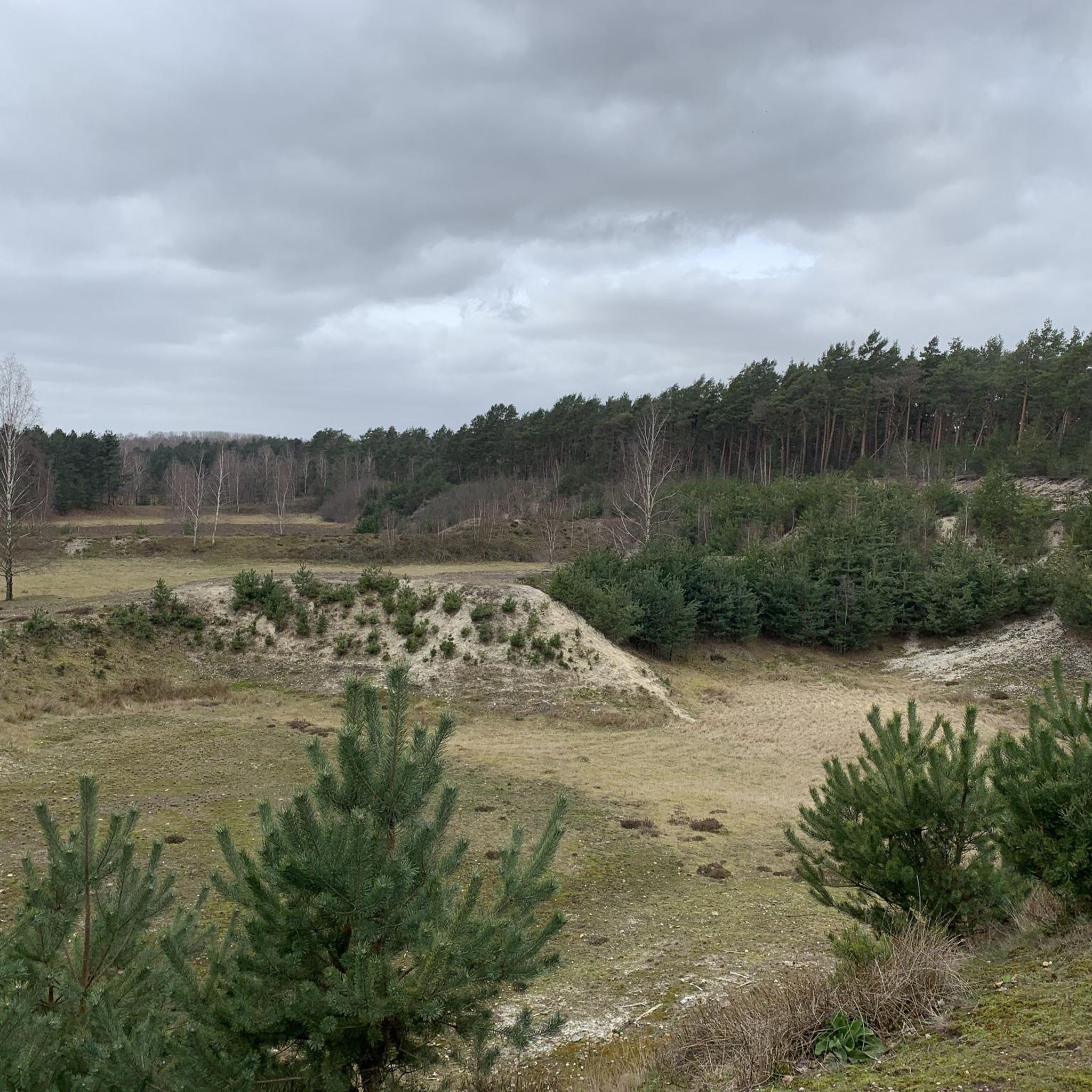
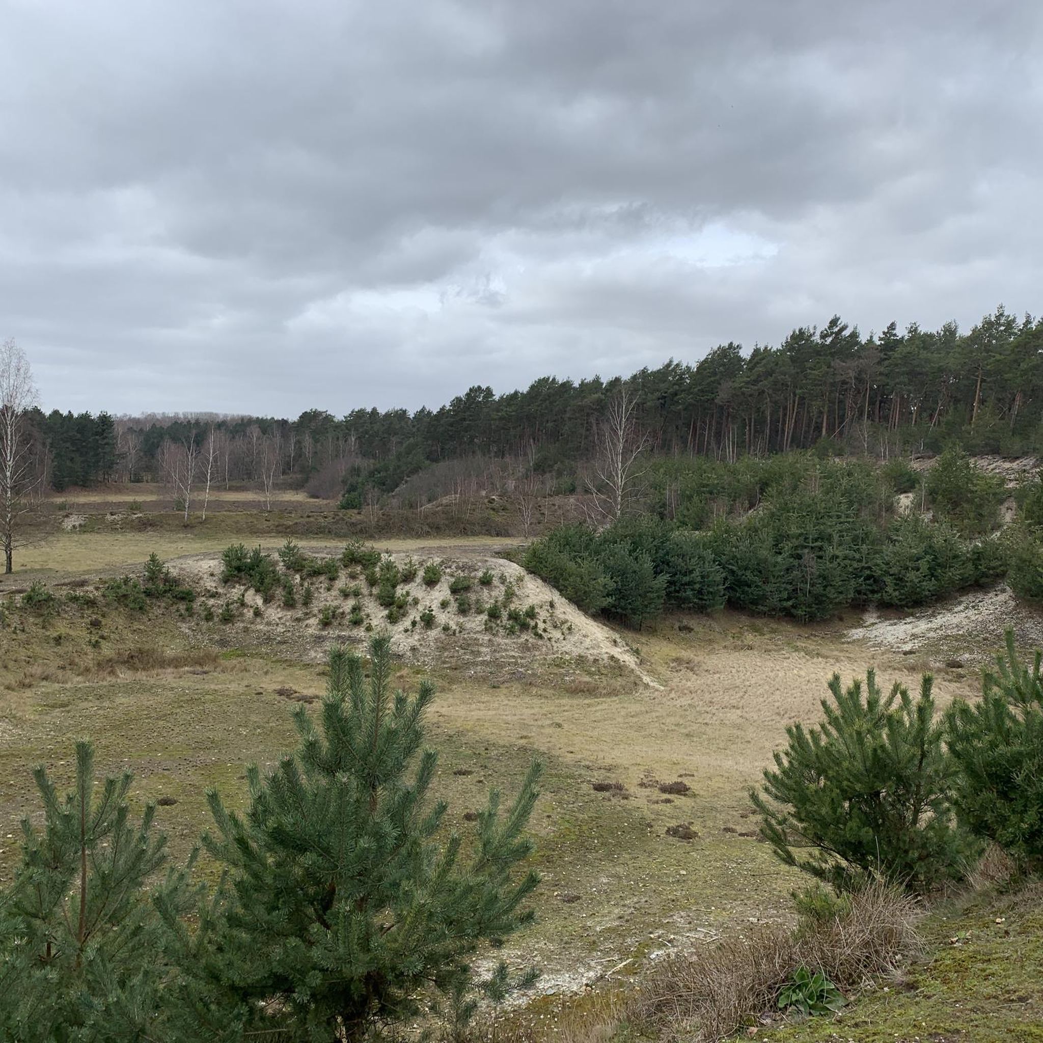
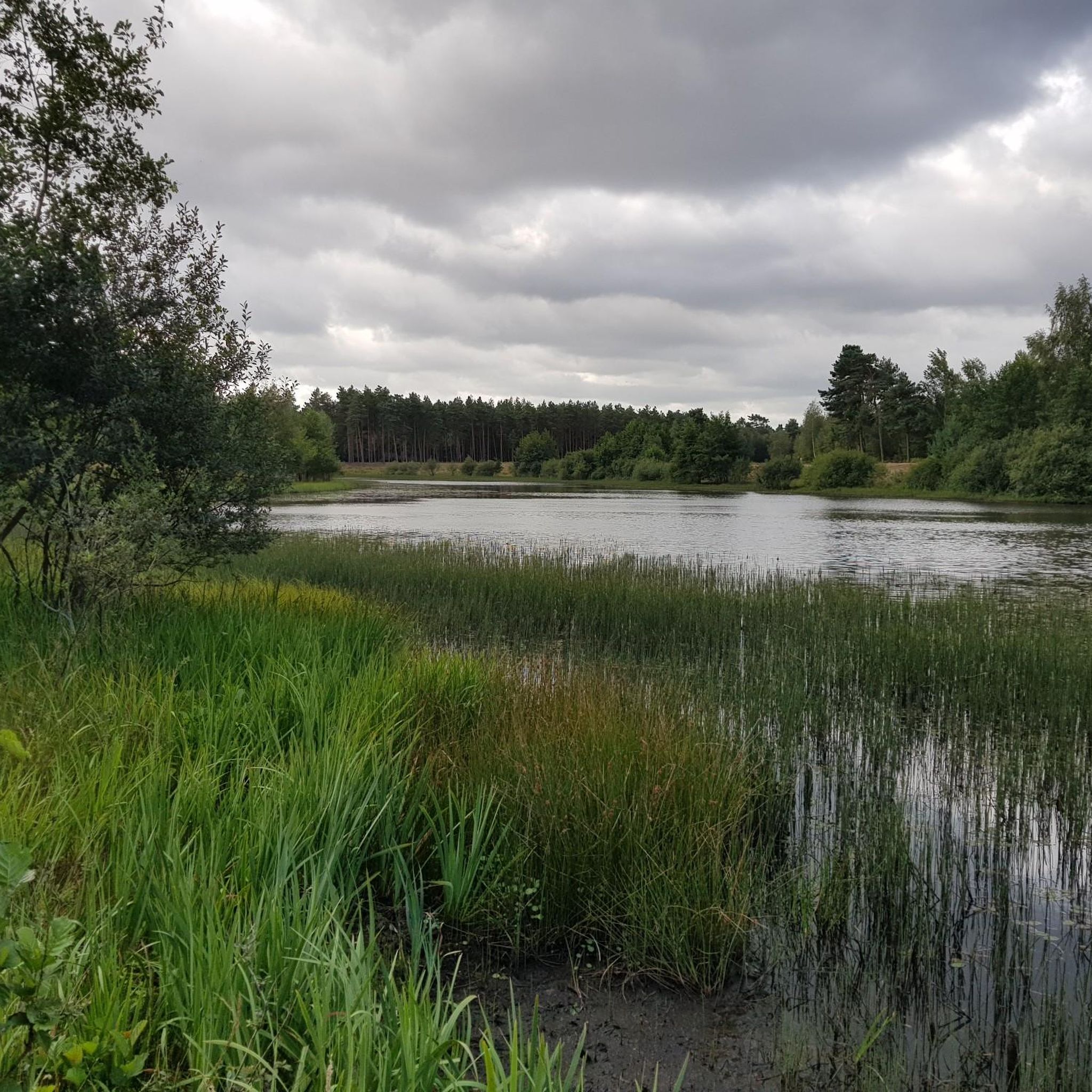
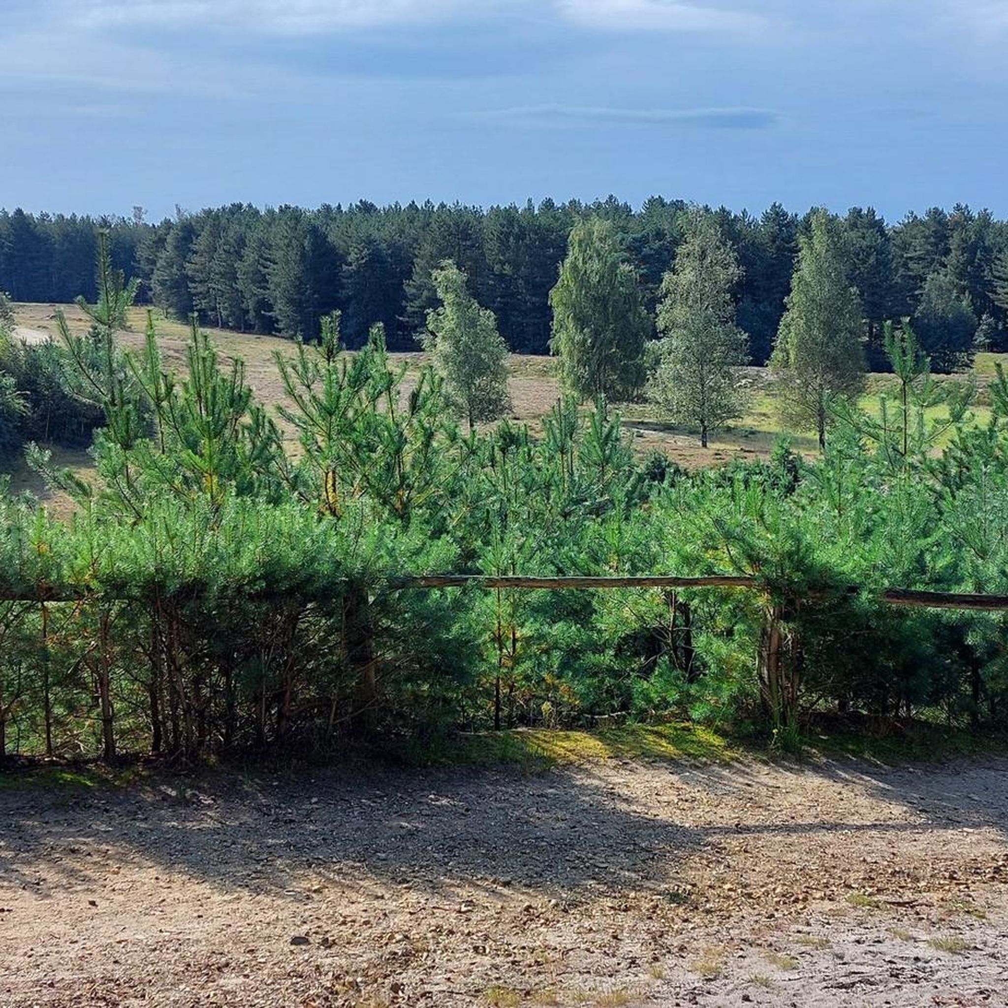
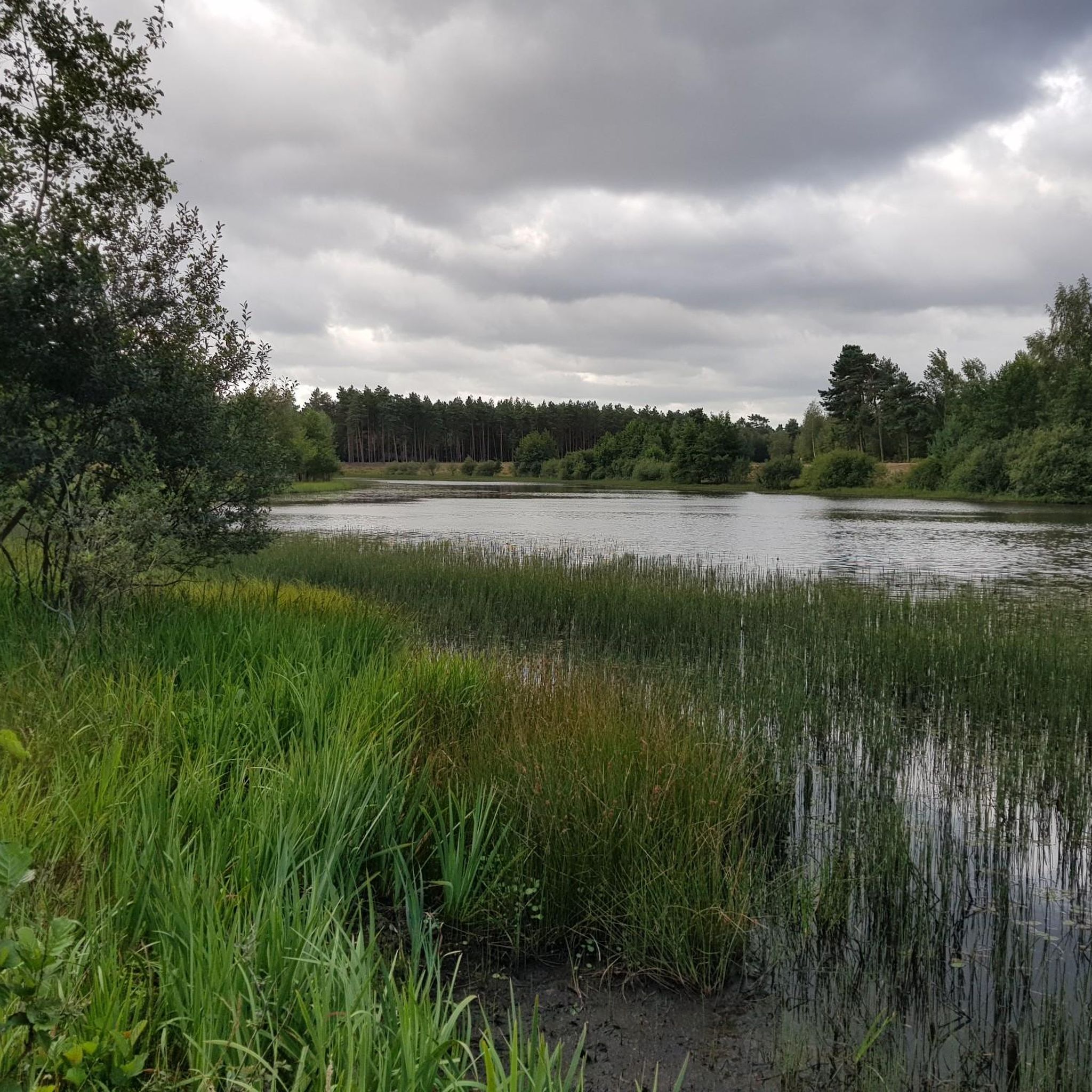
Gravel biking around Teverener Heide offers diverse routes through a unique landscape shaped by historical sand and gravel mining. The region is characterized by extensive heathlands, inland dunes, and characteristic pine woods. Numerous water bodies, including lakes and bog ponds, dot the varied terrain, which ranges from sparse, sandy soils to rich wetlands. This natural relief provides a mix of challenging gravel sections and more established paths suitable for gravel bikes.
Best gravel bike trails around Teverener Heide
- The most popular gravel bike trail is Teverener Heide Nature Reserve – Wurm Cycle Path loop from NATO E-3A Airbase Geilenkirchen, a 27.0 miles (43.5 km) trail that takes about 2 hours 49 minutes to complete. This moderate route explores the nature reserve and follows the Wurm Cycle Path.
- Another top favourite among local gravel bikers is Teverener Heide Nature Reserve – Brunssummerheide Cycle Route loop from Gangelt, a difficult 19.1 miles (30.8 km) path. This route connects the Teverener Heide with the adjacent Brunssummerheide nature reserve, offering varied cross-border terrain.
- Local gravel bikers also love the Gravel section Slunderweg – Gravel Road Through the Fields loop from Landgraaf, a 47.6 miles (76.7 km) trail leading through open fields and gravel sections, often completed in about 5 hours 3 minutes.
- Gravel biking around Teverener Heide is defined by heathlands, pine woods, and varied soils, including sandy sections and wetlands. The network offers options for different ability levels, from moderate loops to more challenging routes.
- The routes in Teverener Heide are highly rated by the komoot community with an average score of 4.2 stars from over 50 reviews. More than 600 gravel bikers have used komoot to explore Teverener Heide's varied terrain.
Last updated: July 10, 2026
14
riders
Hard gravel ride. Very good fitness required. You may need to push your bike for some segments of this route.
4.3
(4)
12
riders
29.4km
01:48
290m
290m
Moderate gravel ride. Good fitness required. Mostly paved surfaces. Suitable for all skill levels.

Sign up for free
4.6
(11)
41
riders
47.2km
02:44
200m
200m
Hard gravel ride. Good fitness required. You may need to push your bike for some segments of this route.
4.3
(3)
25
riders
Hard gravel ride. Good fitness required. You may need to push your bike for some segments of this route.
3.0
(1)
7
riders
52.4km
03:03
150m
150m
Hard gravel ride. Good fitness required. You may need to push your bike for some segments of this route.
Get access to more routes and recommendations from other explorers.
Sign up for free
Already have an account?
Our route recommendations are based on thousands of hikes, rides, and runs completed by other people on komoot.
Start today with a free account
Your next adventure awaits.
Login or Signup
Tips from the Community

A narrow or wide path, in this forest you will find both
0
0

The Counts of Saffenberg, originally from the noble family of the Ahrgau, ruled the area of Herzogenrath around the year 1060. The main castle of this family, the Saffenburg, was located in the Ahr Valley near Mayschoss. The Count of Saffenberg held the royal right of passage in his territories on the important trade route between Cologne and Flanders. This right of passage served to protect traders. For this right of passage, toll posts could be erected, where traders paid for protection and the use of the roads. Since Roman times, the main route between Cologne and the English Channel coast ran further west via Jülich, Heerlen, Maastricht, and Tongeren. In the Middle Ages, however, the route was diverted further south and henceforth ran from Jülich via Aldenhoven and Alsdorf to Herzogenrath and further via Heerlen, Maastricht to Boulogne-sur-Mer. On the rock next to the Worm crossing in Herzogenrath, the toll castle of the Count of Saffenberg was built, and at the foot of the castle, the castle settlement developed, which later grew into the walled town of Herzogenrath. The eastern lower gate on the Worm and the upper gate towards Kerkrade and Aachen formed the main axis through the town. There was a third town gate in the direction of Eygelshoven. @https://geschichtsmeile.eurode.eu/nl/de-mijl/03-burcht-herzogenrath/
3
0

Rode Castle is a castle on a hilltop in the center of Herzogenrath, in the Aachen region. It is located just a few hundred meters from the border with the Dutch city of Kerkrade. The "Burg Rode Herzogenrath e. V." (Rode Herzogenrath Castle Association) regularly organizes events at the castle, such as concerts, dialect evenings, exhibitions, and cabaret performances. The traditional castle festival takes place in June. Guided tours of the castle are also offered, and the Herzogenrath registry office regularly performs weddings there.
1
0

This entire area, from Spaubeek, Genout, Schimmert, to Hulsberg, has a lot of gravel paths. I go there very often and I still discover new trails.
0
0

beautiful street through an old forest
0
0

The Selfkantbahn is a highlight, even if you only visit the station.
1
0


Ticket office of the Selfkantbahn in Schierwaldenrath
2
0
Frequently Asked Questions
How many gravel bike trails are available in Teverener Heide?
Teverener Heide offers a wide selection of gravel bike trails, with over 70 routes available for exploration. These routes cater to various skill levels, including 12 easy, 34 moderate, and 26 difficult options.
What kind of terrain can I expect on gravel bike trails in Teverener Heide?
The terrain in Teverener Heide is quite varied, reflecting its unique landscape shaped by historical sand and gravel mining. You'll encounter a mix of extensive heathlands, characteristic pine woods, and inland dunes. While some sections feature challenging gravel and sandy paths, other parts may include more established or even paved surfaces. The area also has numerous water bodies, adding to the diverse scenery.
Are there any specific regulations for gravel biking within the Teverener Heide nature reserve?
Teverener Heide is a nature reserve and Natura 2000 site, so it's important to respect local regulations. While gravel biking is popular, some sandy grounds within the reserve may not always be ideal for cycling, and certain sensitive areas might have restrictions. Always stay on designated paths and trails to protect the diverse flora and fauna, including over 200 endangered species.
What is the best time of year to go gravel biking in Teverener Heide?
The heathlands are particularly picturesque when the heather blooms in August and September, making late summer and early autumn a beautiful time to visit. Spring also offers pleasant conditions with emerging greenery. Winter conditions can vary, so it's advisable to check local weather and trail conditions before heading out during colder months.
Are there gravel routes suitable for beginners or families in Teverener Heide?
Yes, Teverener Heide offers routes suitable for various skill levels. Among the 70+ available trails, there are 12 easy routes that could be a good starting point for beginners or families looking for a less strenuous ride. These routes often feature more stable surfaces and gentler gradients.
Can I find challenging gravel routes for experienced riders in the Teverener Heide area?
Absolutely. For experienced riders seeking a challenge, Teverener Heide has 26 difficult gravel routes. These trails often feature more demanding gravel sections, varied elevation changes, and can connect to adjacent nature reserves like Brunssummerheide for longer, more strenuous rides. An example is the Teverener Heide Nature Reserve – Brunssummerheide Cycle Route loop from Gangelt, which is rated as difficult.
Are there circular gravel bike routes available in Teverener Heide?
Many of the gravel routes in Teverener Heide are designed as loops, allowing you to start and end at the same point. For instance, the popular Teverener Heide Nature Reserve – Wurm Cycle Path loop from NATO E-3A Airbase Geilenkirchen is a moderate circular route exploring the nature reserve. Another option is the Teverener Heide Nature Reserve – Pine Lake loop from Übach-Palenberg.
What natural features or attractions can I see along the gravel bike trails in Teverener Heide?
The Teverener Heide is rich in natural beauty. Along the trails, you can experience extensive heathlands, characteristic pine woods, and unique inland dunes. The area is also dotted with numerous water bodies, including the Pine Lake, Lake Christopherus, and various bog ponds. You might also encounter the Wiggelewak Moor, which supports diverse ecosystems.
Are there any specific viewpoints or scenic spots along the gravel routes?
Yes, the diverse topography of Teverener Heide, with its heathlands and inland dunes, offers several spots with expansive views. The nature reserve itself, particularly the open heathland areas, provides picturesque vistas, especially when the heather is in bloom. Designated rest places and vantage points are available for peaceful observation of the landscape and its wildlife.
Where can I find parking for gravel biking in Teverener Heide?
The Teverener Heide area is well-equipped for visitors, with dedicated parking areas often available near trailheads and key access points to the nature reserve. These are typically signposted and provide convenient starting points for your gravel biking adventures.
What do other gravel bikers enjoy the most about gravel biking in Teverener Heide?
The area is highly rated by the komoot community, with an average score of 4.3 stars from over 80 reviews. Gravel bikers often praise the diverse terrain, the unique natural features like heathlands and pine woods, and the variety of routes that cater to different skill levels. The connection to cross-border routes and the peaceful atmosphere are also frequently highlighted.
Are there any cross-border gravel biking opportunities from Teverener Heide?
Yes, Teverener Heide is well-integrated into a larger network of cycling routes, including cross-border options. It connects seamlessly to adjacent natural areas in the Netherlands, such as the Brunssummerheide nature reserve, through natural bridges. The "Heidenaturpark" route, spanning over 30 km, allows cyclists to explore both Teverener Heide and Brunssummerheide, offering a truly international gravel biking experience.
Most popular routes around Teverener Heide
Most popular attractions around Teverener Heide

Get inspired with the komoot mobile app


Explore more
Browse the best Gravel rides in other regions.
