The best gravel rides around Verdronken Land van Saeftinghe
4.8
(37)
356
riders
20
rides
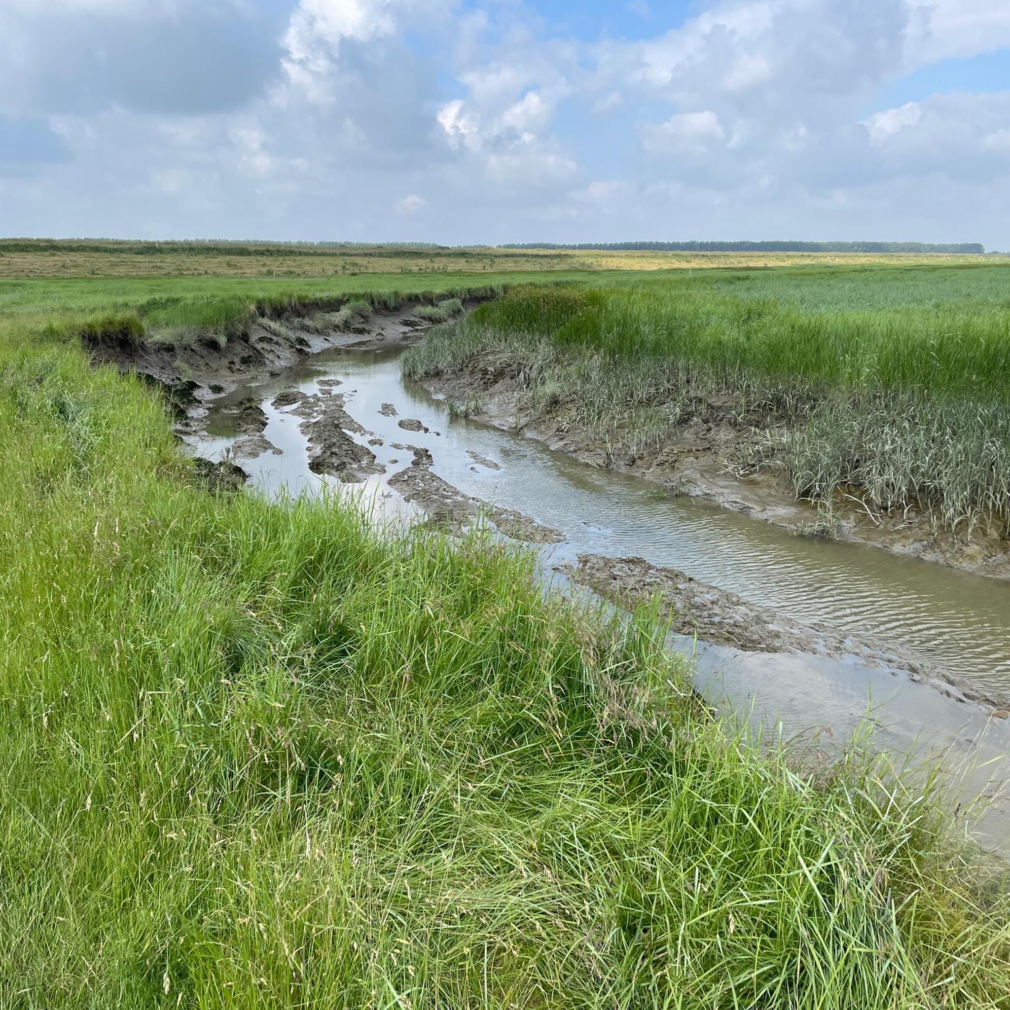
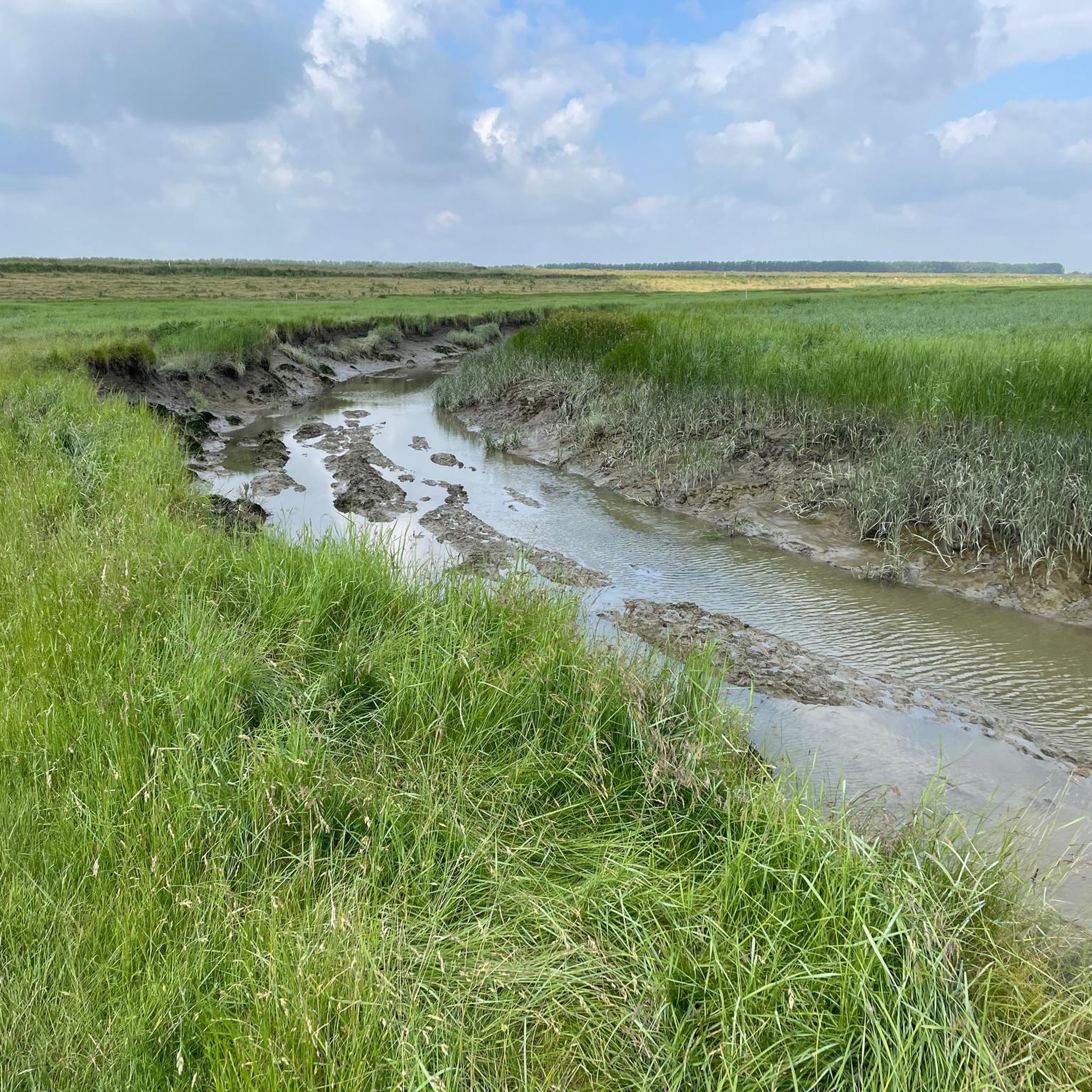
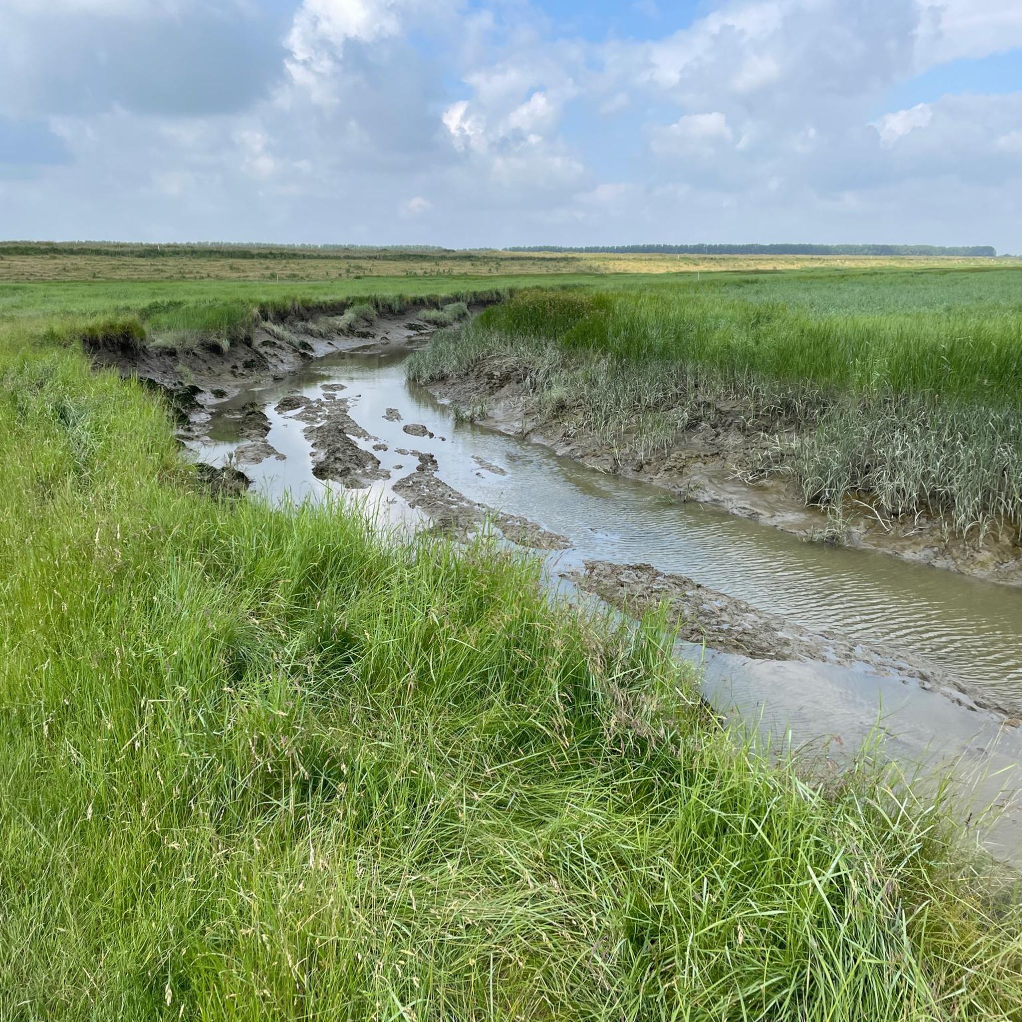
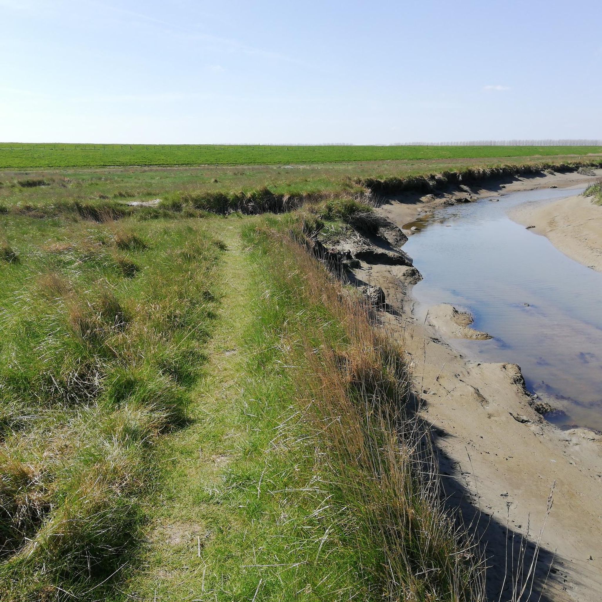
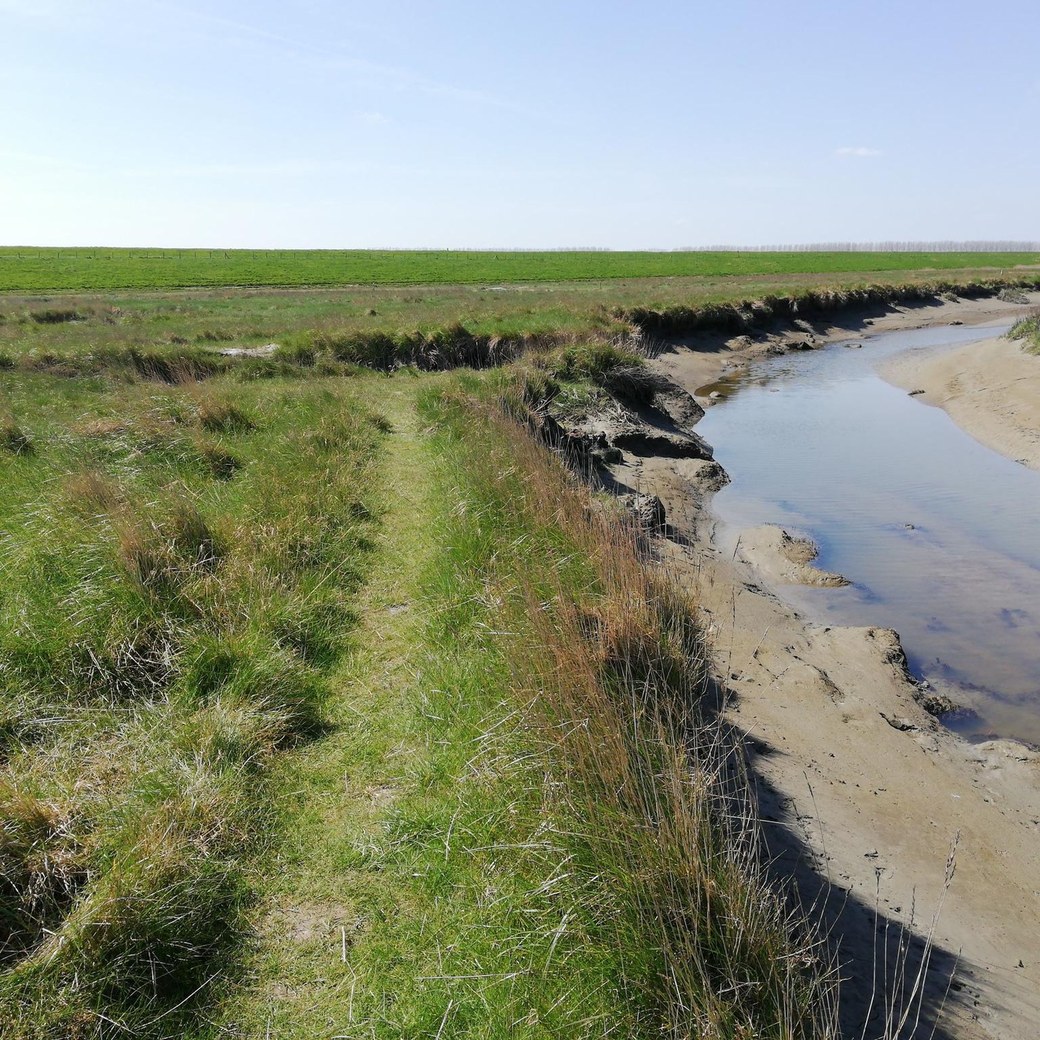
Gravel biking around Verdronken Land van Saeftinghe offers routes through a unique brackish water marsh landscape in Western Europe. This region is characterized by expansive mudflats and salt marshes, shaped by daily tides where fresh and saltwater converge. Routes often follow outer dikes along the Westerschelde estuary, providing views of the delta and its distinctive ecosystem. The terrain provides a sense of wilderness, distinct from typical paved cycling routes.
Best gravel bike trails around Verdronken Land van Saeftinghe
- The most…
Last updated: August 26, 2026
36
riders
71.0km
04:13
80m
80m
Hard gravel ride. Good fitness required. You may need to push your bike for some segments of this route.
14
riders
Moderate gravel ride. Good fitness required. Mostly paved surfaces. Suitable for all skill levels.

Sign up for free
4.8
(4)
58
riders
53.2km
03:03
70m
70m
Moderate gravel ride. Good fitness required. Mostly paved surfaces. Suitable for all skill levels.
43
riders
46.4km
02:54
50m
50m
Hard gravel ride. Good fitness required. You may need to push your bike for some segments of this route.
4.8
(23)
135
riders
Moderate gravel ride. Good fitness required. Mostly paved surfaces. Suitable for all skill levels.
Get access to more routes and recommendations from other explorers.
Sign up for free
Already have an account?
Our route recommendations are based on thousands of hikes, rides, and runs completed by other people on komoot.
Start today with a free account
Your next adventure awaits.
Login or Signup
Tips from the Community

Very beautiful heath landscape
0
0

The wooden arch bridge over the Stekense Vaart, named after Frans Coppens, was receiver-clerk in the municipality of Sinaai for almost a quarter of a century. He played an important role in "de Groote Watering van Sinay", the name given to the project launched by the Boerenbond in 1926. This project was initiated after repeated floods and aimed to make the polders 'dry'. The construction of the pumping station near Hondsnest was one of the first achievements within this project. During the Second World War, the unemployed were employed to clean or widen ditches. Under the impetus of dike reeve Jozef "meester" Maes and... receiver-clerk Frans Coppens (!), major reclamation works were carried out in the 60s, continuing into the following decades. Thus, Hondsnest got a new pumping station in 1975. In the meantime, the watering area had been converted into a polder, pursuant to the polder law of June 3, 1957. source: info file "Polder Daknam-Sinaai"
2
0


beautiful view over the Polders
1
0
Unfortunately, it's only accessible on special occasions. It's worth taking photos from the outside.
1
0

nice place to catch your breath.
0
0

The tower itself is beautiful. Unfortunately, it's no longer accessible. Vandals make a sport of unscrewing railing screws, so it's dangerous if you don't know how to do it.
0
0

It's like cycling across the African savannah! Fan of climbing and descending? You'll find this highlight in "Climbing in the Netherlands," our book with 14 road bike routes, covering over 11,000 meters of elevation gain: Limburg, Nijmegen, Twente, Veluwe, and many more. All routes have multiple distances/shortcuts. Komoot Premium for €5 a month + a 50% discount on Climbfinder Premium for €15 as a gift. Download the ebook for €14: https://bit.ly/klimmen-in-nederland
1
0
Frequently Asked Questions
How many gravel bike trails are available around Verdronken Land van Saeftinghe?
There are over 15 gravel bike trails in the vicinity of Verdronken Land van Saeftinghe. These routes cater to various skill levels, including easy, moderate, and difficult options, allowing you to explore the unique brackish water marsh landscape.
What kind of terrain can I expect on gravel bike trails in this region?
The terrain around Verdronken Land van Saeftinghe is characterized by expansive mudflats and salt marshes, with routes often following outer dikes along the Westerschelde estuary. While some sections may be paved, you'll encounter unpaved paths that offer a sense of wilderness. Be prepared for varying surfaces, including potentially muddy areas, especially after rain, due to the dynamic tidal environment.
Are there any family-friendly gravel biking routes near Verdronken Land van Saeftinghe?
Yes, there are several easy and moderate routes suitable for families. While the core reserve is challenging, the surrounding dikes and paths offer gentler rides. For instance, routes like the Clingebos Forest Path – The Koningsdijk loop from Nieuw Namen offer a moderate experience that can be enjoyed by those with some cycling experience.
What are the best times of year to go gravel biking in Verdronken Land van Saeftinghe?
The spring and autumn months generally offer the most pleasant conditions for gravel biking, with milder temperatures and less crowded paths. Summer can be warm, and winter can bring colder, potentially wet and muddy conditions. Always check the local weather forecast before heading out, as the tidal nature of the area can significantly impact trail conditions.
Are dogs allowed on the cycling paths around Verdronken Land van Saeftinghe?
While the Verdronken Land van Saeftinghe nature reserve itself has strict regulations, including restrictions on dogs, many public cycling paths and dikes in the surrounding area are generally dog-friendly, provided dogs are kept on a leash. Always respect local signage and regulations, especially when near nature reserves or agricultural land, to protect wildlife and livestock.
What interesting landmarks or natural features can I see along the gravel bike trails?
You can expect to see the unique brackish water marsh landscape, expansive mudflats, and salt marshes. Routes often provide panoramic views of the Westerschelde delta. Notable points of interest include the Visitor Center Verdronken Land van Saeftinghe, which offers insights into the area's history and ecology, and the Former Lighthouse Marlemontse Plaat (The Watcher of Saeftinghe). You might also spot diverse birdlife, as the area is a significant haven for over 200 bird species.
Are there any circular gravel biking routes in the region?
Yes, many of the gravel biking routes around Verdronken Land van Saeftinghe are designed as loops. For example, the Niemandsland Observation Tower – Great Saleghem Channel loop from Meerdonk and the Hulst Market Square – The Koningsdijk loop from Terhole are popular circular options that allow you to start and finish at the same point.
Where can I find parking for gravel biking near Verdronken Land van Saeftinghe?
Parking is typically available at or near the starting points of many routes, often in nearby towns or designated visitor areas. The Visitor Center Verdronken Land van Saeftinghe is a good starting point and usually offers parking facilities. Always check specific route details for recommended parking locations.
What do other gravel bikers enjoy most about the routes in Verdronken Land van Saeftinghe?
The routes in Verdronken Land van Saeftinghe are highly rated by the komoot community, with an average score of 4.7 stars. Reviewers often praise the unique, untamed landscape, the sense of wilderness, and the panoramic views along the dikes. The opportunity to observe diverse birdlife and experience the region's rich history also contributes to the positive feedback.
Are there places to eat or drink along the gravel biking routes?
While the immediate nature reserve is remote, you can find cafes and pubs in the surrounding towns and villages. The Café Het Verdronken Land is located near the Visitor Center, offering a convenient stop. Many routes pass through or near communities where you can refuel and refresh.
What is the longest gravel biking route available in this area?
Among the longer options, the Beautiful avenue – Brasschaat Castle loop from Berendrecht covers approximately 53.4 kilometers (33.2 miles), offering an extensive ride through varied landscapes. This route typically takes around 3 hours and 4 minutes to complete.
Are there any specific regulations for cycling within the Verdronken Land van Saeftinghe nature reserve?
The Verdronken Land van Saeftinghe is a protected nature reserve, and access to its core areas is often restricted or requires a guide due to its challenging and tidal nature. Gravel biking is generally confined to the peripheral paths and dikes surrounding the reserve. Always adhere to local signage and regulations to protect the delicate ecosystem and ensure your safety. Cycling directly into the mudflats or salt marshes is not permitted.
Most popular routes around Verdronken Land van Saeftinghe
Most popular attractions around Verdronken Land van Saeftinghe

Get inspired with the komoot mobile app


Explore more
Browse the best Gravel rides in other regions.
