The best gravel rides around Réserve naturelle de la baie de l'Aiguillon
4.4
(58)
343
riders
11
rides
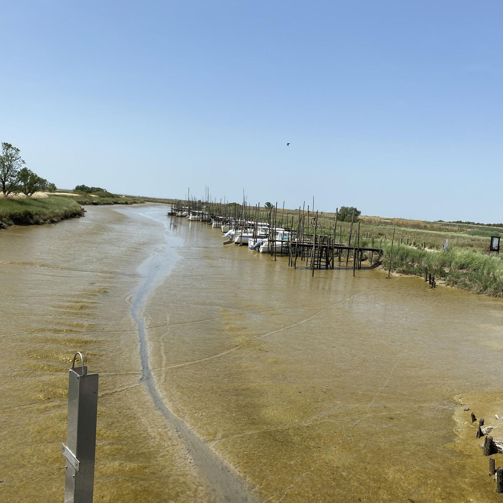
Gravel biking around Réserve naturelle de la baie de l'Aiguillon offers routes through diverse coastal and wetland environments. This natural site features expansive mudflats and vast salt meadows, creating a landscape influenced by both fresh and saltwater. The terrain is generally flat, providing accessible pathways through marshes and along the coastline. These conditions make the area suitable for gravel cycling, with routes often providing views of the bay's interior and its unique ecosystems.
Best gravel bike trails around Réserve naturelle…
Last updated: November 2, 2026
4.5
(11)
44
riders
63.3km
03:17
160m
160m
Moderate gravel ride. Good fitness required. Mostly paved surfaces.
4.4
(8)
64
riders
42.2km
02:11
150m
150m
Moderate gravel ride. Good fitness required. Mostly paved surfaces.

7
riders
21.7km
01:11
60m
60m
Easy gravel ride. Mostly paved surfaces.
4.0
(1)
8
riders
Easy gravel ride. Mostly paved surfaces.
4.3
(22)
133
riders
47.0km
02:19
90m
90m
Moderate gravel ride. Good fitness required. Mostly paved surfaces.
Get access to more routes and recommendations from other explorers.
Already have an account?
Our route recommendations are based on thousands of hikes, rides, and runs completed by other people on komoot.
Start today with a free account
Your next adventure awaits.
Popular around Réserve naturelle de la baie de l'Aiguillon
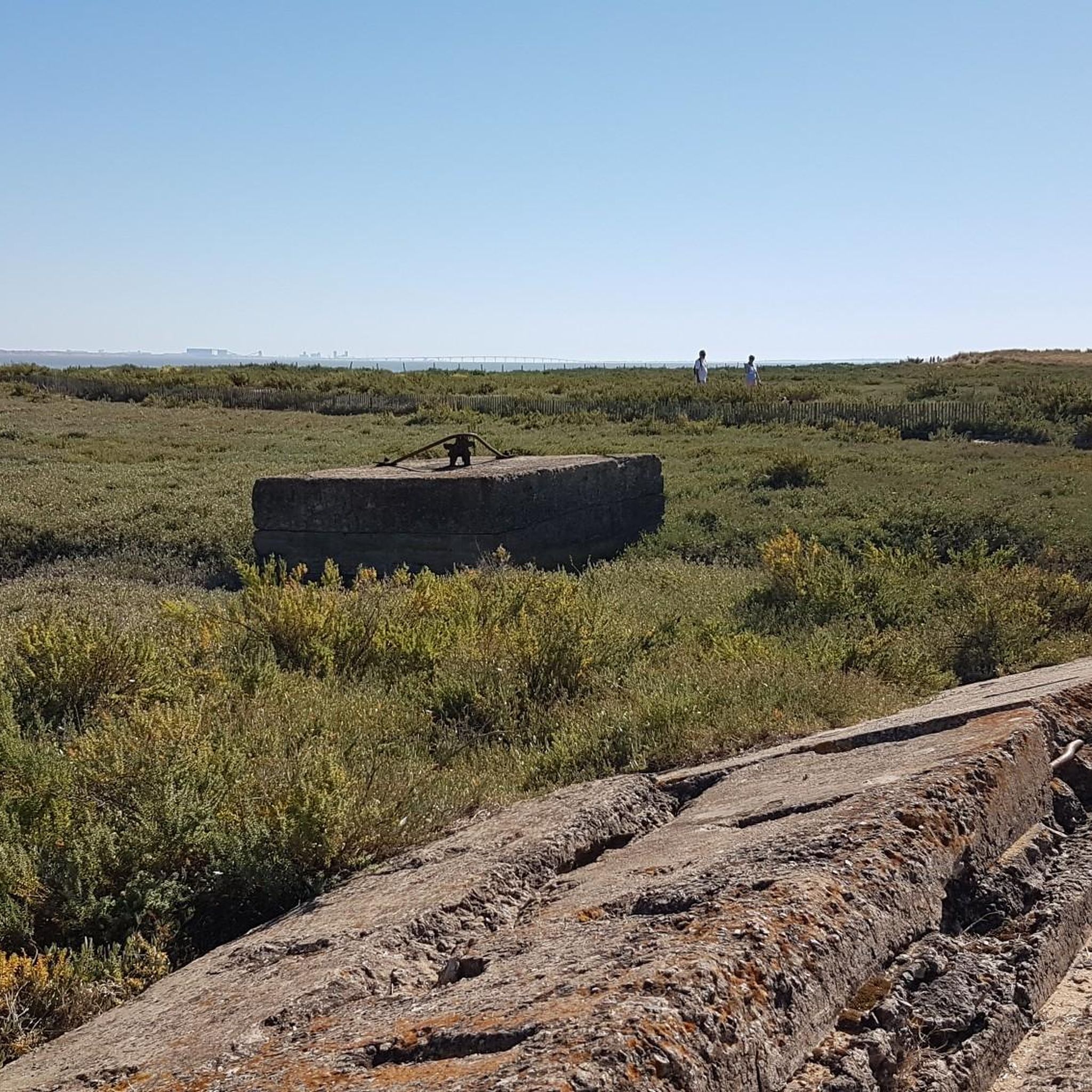
Hiking around Réserve naturelle de la baie de l'Aiguillon
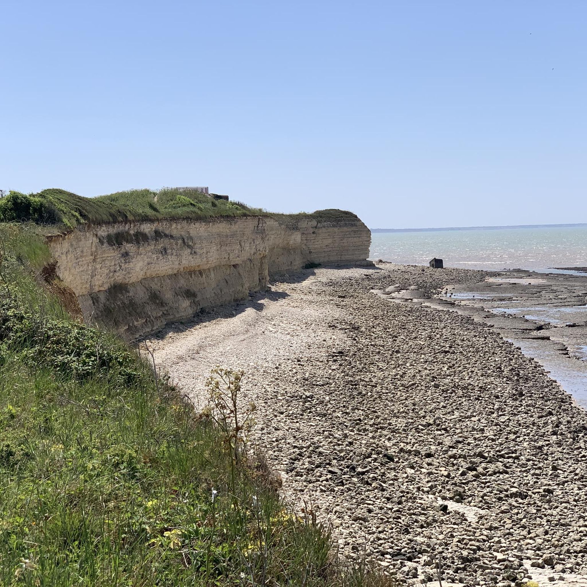
Running Trails around Réserve naturelle de la baie de l'Aiguillon
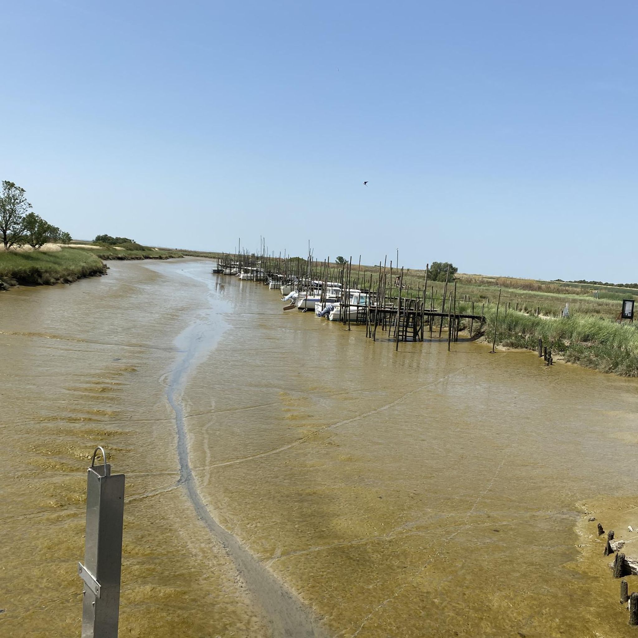
Cycling around Réserve naturelle de la baie de l'Aiguillon
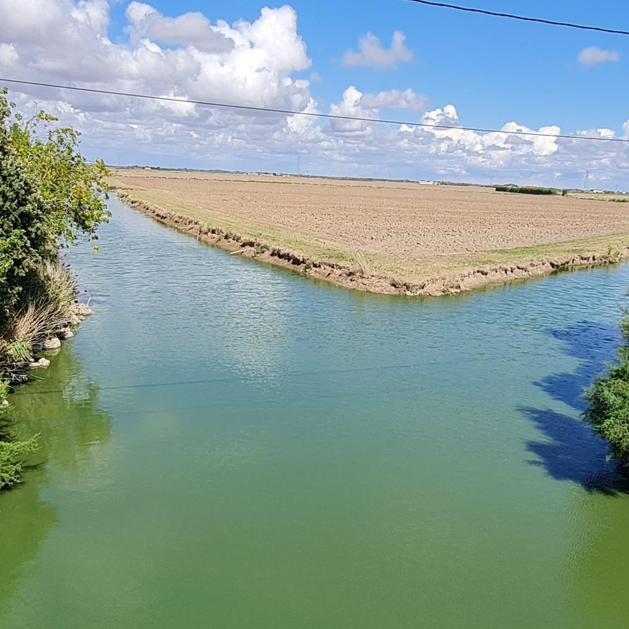
Road Cycling Routes around Réserve naturelle de la baie de l'Aiguillon
MTB Trails around Réserve naturelle de la baie de l'Aiguillon
Tips from the Community

It's fun to ride above the sea! Plus the bridge is well laid out, cycle path completely separated from car traffic, and beautiful view!!
0
0
Along the canal it's a straight, but it rides well, a portion of it is not bad
0
0

I took this trail 2 days ago. The trail is in a deplorable state and borderline dangerous. Impossible to look at the scenery as you have to concentrate so much on the path to avoid falling or getting a wheel stuck in the holes.
2
0

Trail in catastrophic condition. No effort to promote cycle tourism in the region
3
0

Junction where you can leave the monotony of the Marans canal to reach La Rochelle in the most beautiful way along the ocean from the top of the cliffs. Apart from a small section on a quiet departmental road (be careful though) before Esnandes, the rest of the route is mostly on greenways. Once you reach the bridge to the Île de Ré, you can easily reach the center of La Rochelle via cycle paths.
0
0


short, calm and delicious walk with beautiful cabins.
1
0
Frequently Asked Questions
How many gravel bike trails are available in the Réserve naturelle de la baie de l'Aiguillon?
There are over 15 gravel bike trails available in the Réserve naturelle de la baie de l'Aiguillon, offering a variety of options for exploring the region's unique landscapes.
What kind of terrain can I expect on gravel bike trails in the Réserve naturelle de la baie de l'Aiguillon?
The terrain is generally flat and expansive, characterized by pathways through salt marshes, along the coastline, and beside canals. You'll encounter diverse coastal and wetland environments, including extensive mudflats and vast salt meadows, creating a distinctive landscape influenced by both fresh and saltwater.
What are the difficulty levels of gravel bike trails in the Réserve naturelle de la baie de l'Aiguillon?
The majority of gravel bike trails in the Réserve naturelle de la baie de l'Aiguillon are considered easy, with 12 routes falling into this category. There are also 5 moderate routes for those seeking a bit more challenge, but no difficult trails.
Are there any loop routes for gravel biking in the Réserve naturelle de la baie de l'Aiguillon?
Yes, many of the trails are designed as loops, allowing you to start and finish at the same point. For example, you could try the Port du Plomb – Carrelets de la Conche loop from Marsilly, which offers coastal sections and views of traditional fishing structures.
What is the best time of year for gravel biking in the Réserve naturelle de la baie de l'Aiguillon?
The region is beautiful year-round, but spring and autumn are particularly pleasant for gravel biking. These seasons offer milder temperatures and excellent opportunities for birdwatching, as the reserve is a crucial stopover for migratory birds. Summer can also be enjoyable, but be prepared for warmer weather and potentially more visitors.
What natural features or landmarks can I see while gravel biking in the Réserve naturelle de la baie de l'Aiguillon?
You'll encounter a rich array of natural features, including extensive mudflats, vast salt meadows (Mizottes), and unique brackish water vegetation. Keep an eye out for diverse birdlife, as the reserve is internationally recognized for its ornithological interest. Notable landmarks include the Pointe de l'Aiguillon and the Brault drawbridge.
Are there good viewpoints along the gravel bike trails?
Yes, the flat terrain and coastal setting offer numerous panoramic views. Observation points, such as those near Saint-Michel-en-l'Herm, provide sweeping vistas of the bay's interior, its marshes, salt meadows, and even views of the Pertuis-Breton Sea and the Île de Ré. The Pointe de l'Aiguillon is also a great spot for expansive views.
Are the gravel bike trails in the Réserve naturelle de la baie de l'Aiguillon suitable for families?
Absolutely! With 12 easy routes, the Réserve naturelle de la baie de l'Aiguillon is very family-friendly. The generally flat and well-maintained paths through marshes and along the coastline provide a safe and enjoyable environment for cyclists of all ages. A good option could be the Luçon Canal – Portes du Chapître loop from Triaize, which is an easy ride through canal-side paths.
Where can I find parking for gravel biking in the Réserve naturelle de la baie de l'Aiguillon?
While specific parking areas aren't detailed for every route, you can generally find parking in the towns and villages surrounding the reserve, such as Marans, Triaize, or near popular access points like Port du Pavé. Look for designated public parking areas, especially near trailheads or points of interest.
Are there any cafes or places to stop for refreshments along the gravel bike routes?
Many of the routes pass through or near charming villages and small towns where you can find local cafes, bakeries, or small shops to refuel. Marans, for instance, is a good hub with amenities. It's always a good idea to carry water and snacks, especially on longer stretches, as services might be sparse in the more remote wetland areas.
How long are the gravel bike trails typically in this region?
The gravel bike trails in the Réserve naturelle de la baie de l'Aiguillon vary in length. You can find shorter, easy loops around 14-17 miles (23-27 km), such as the Brault lock – Port of Marans loop from Port du Pavé. There are also longer, moderate routes, like the Canal de Luçon – La Dive loop from Marans, which extends to over 38 miles (62 km).
What do other gravel bikers enjoy most about gravel biking in the Réserve naturelle de la baie de l'Aiguillon?
The area is highly rated by the komoot community, with an average score of 4.3 stars from over 40 reviews. Reviewers often praise the unique blend of diverse coastal and wetland environments, the abundant birdlife, and the generally flat, accessible pathways that make for a rewarding and scenic ride.
Most popular routes around Réserve naturelle de la baie de l'Aiguillon
Most popular attractions around Réserve naturelle de la baie de l'Aiguillon

Get inspired with the komoot mobile app


Explore more
Browse the best Gravel rides in other regions.
