The best gravel rides around Hofoldinger Forest
4.7
(160)
802
riders
119
rides
Gravel biking around Hofoldinger Forest offers a network of trails through varied woodland and open landscapes. The region is characterized by extensive forest paths, unpaved roads, and gentle elevation changes, providing diverse terrain suitable for gravel bikes. Riders can expect a mix of natural surfaces, including gravel, dirt, and forest tracks, often following river valleys or leading to scenic viewpoints. The area features varied terrain such as moraine plains, river valleys, and extensive forests, with some routes offering distant views…
Last updated: July 16, 2026
1
riders
27.1km
01:46
210m
210m
Moderate gravel ride. Good fitness required. Mostly paved surfaces. Suitable for all skill levels.
4.8
(21)
142
riders
85.0km
05:05
1,130m
1,130m
Hard gravel ride. Very good fitness required. Mostly paved surfaces. Suitable for all skill levels.

Sign up for free
4.8
(14)
54
riders
32.8km
01:53
390m
390m
Moderate gravel ride. Good fitness required. Mostly paved surfaces. Suitable for all skill levels.
5.0
(5)
22
riders
78.4km
04:23
840m
840m
Hard gravel ride. Very good fitness required. Mostly paved surfaces. Suitable for all skill levels.
18
riders
66.1km
03:41
600m
600m
Hard gravel ride. Very good fitness required. Mostly paved surfaces. Suitable for all skill levels.
Get access to more routes and recommendations from other explorers.
Sign up for free
Already have an account?
Our route recommendations are based on thousands of hikes, rides, and runs completed by other people on komoot.
Start today with a free account
Your next adventure awaits.
Login or Signup
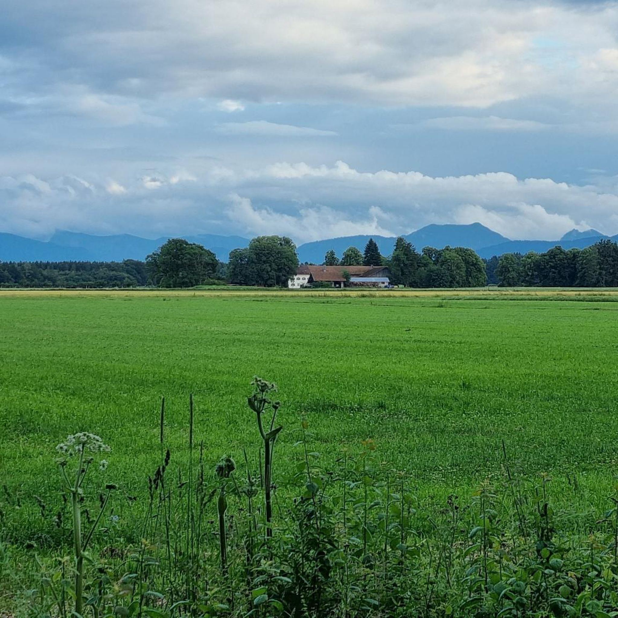
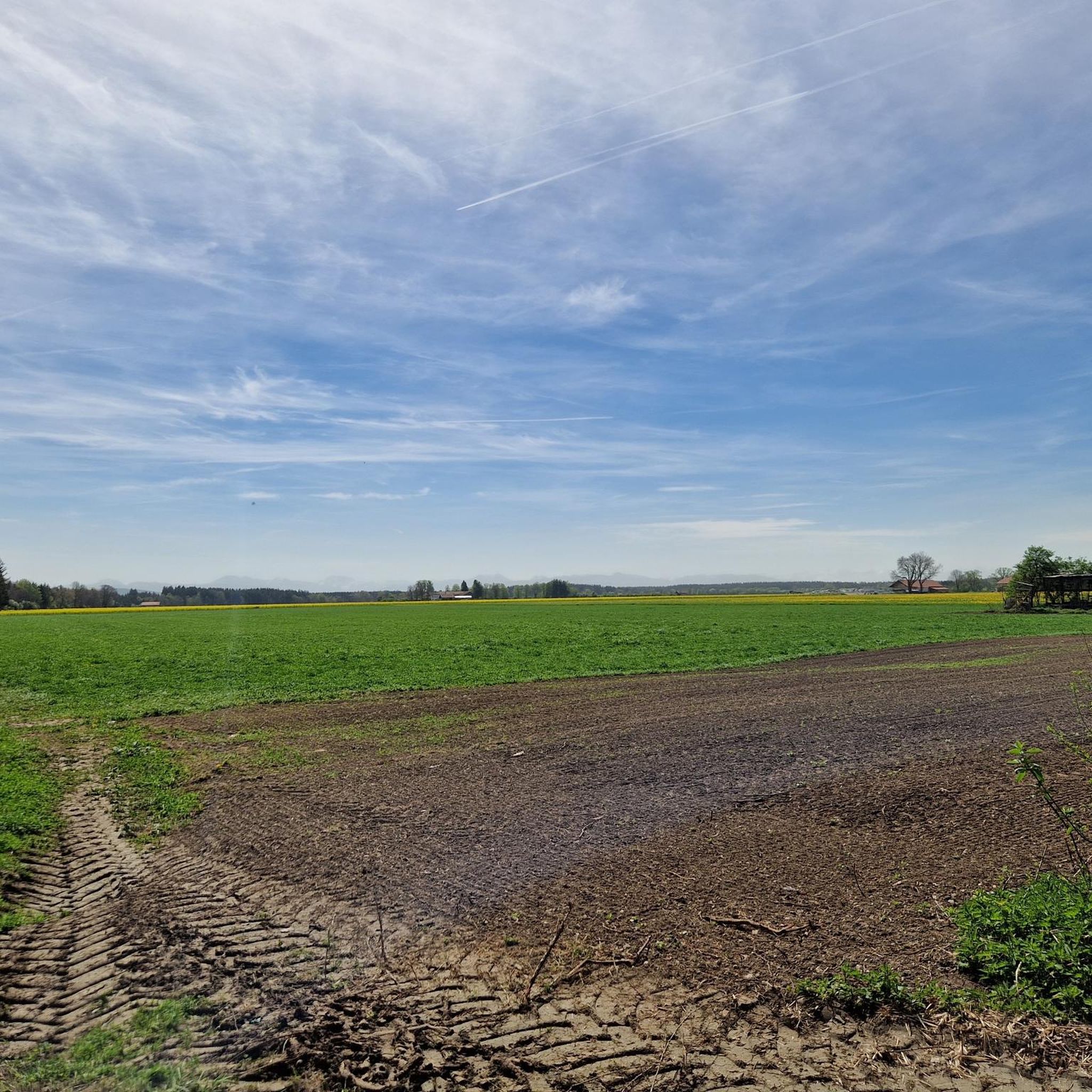
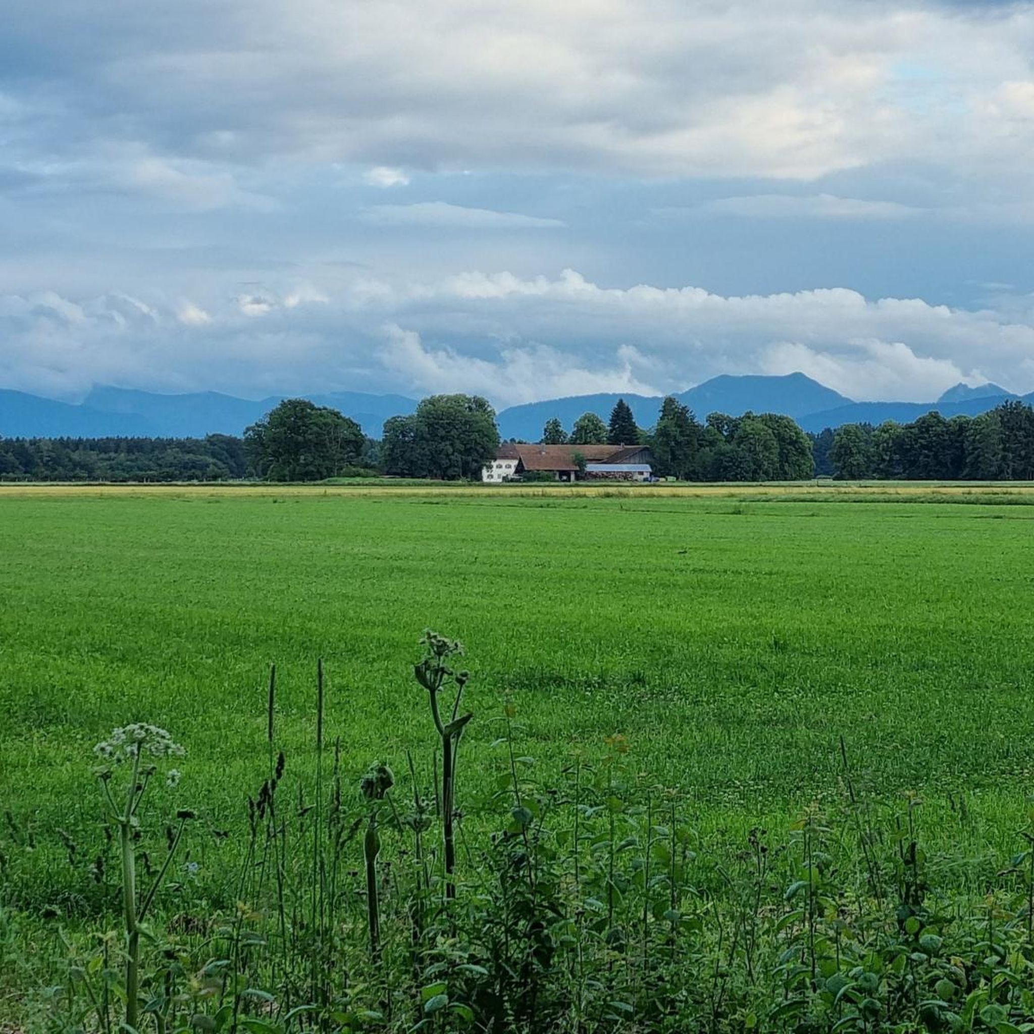
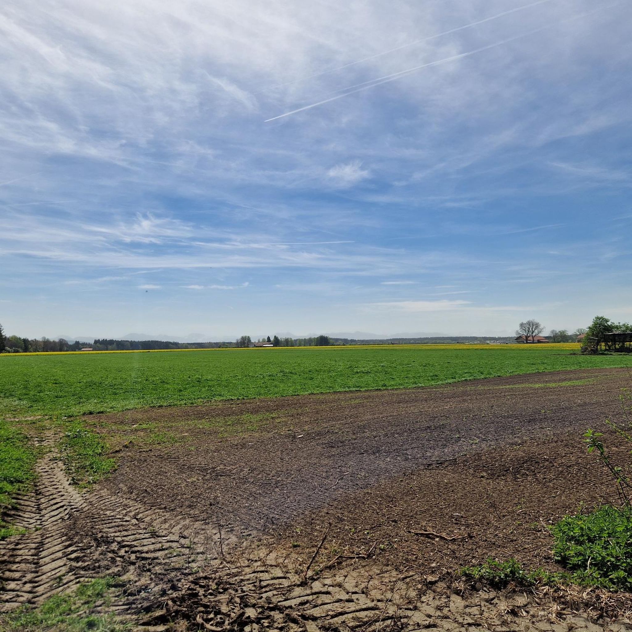
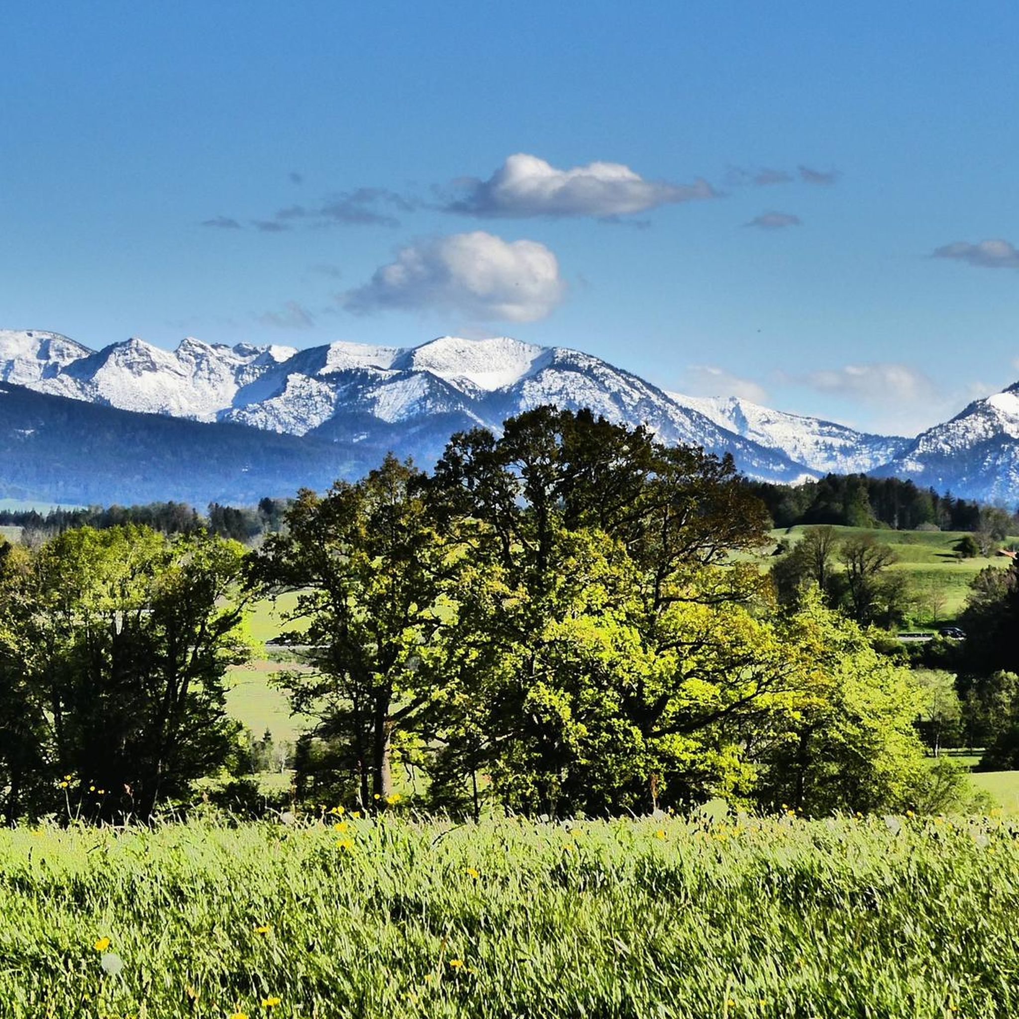

Other adventures around Hofoldinger Forest

Tips from the Community

There are paths up to the Schwarzentennalm – one along the Weißach and one through the higher forest path. I would recommend the latter for the ascent, as it is easier to ride, especially for those who are not so experienced. Down along the Weißach – wonderful. Watch out for the gravel. It crumbles easily.
0
0


Interesting place, see also https://de.wikipedia.org/wiki/Teufelsgrabenbr%C3%BCcke_(Valley)
1
0

It's beautifully idyllic here. I can recommend it 100%.
1
0

The Mangfalltal-Alm is definitely worth recommending: The location is fantastic, the menu offers everything you need for a relaxing break. The prices are reasonable. And the staff is very friendly :-)
0
0

Frequently Asked Questions
What are the typical difficulty levels for gravel bike trails in Hofoldinger Forest?
The gravel bike trails in Hofoldinger Forest cater to a range of abilities. You'll find a good mix, with over 110 moderate routes perfect for a relaxed day out, and around 80 difficult routes for those seeking a more challenging adventure. There are also over 30 easy routes available.
What kind of distances and durations can I expect on gravel bike routes around Hofoldinger Forest?
Routes vary significantly in length and time. For example, the View from Taubenberg – Mangfall Cycle Path loop from Holzkirchen is a moderate 32.8 km (20.4 miles) route that typically takes around 1 hour 50 minutes. On the longer side, the challenging Valepp Valley Scenic Road – Valepp Scenic Road loop from Holzkirchen covers 85.2 km (52.9 miles) and can take over 6 hours.
Are there any family-friendly gravel biking options in Hofoldinger Forest?
While specific family-friendly routes aren't highlighted, the presence of over 30 easy routes suggests there are gentler paths suitable for families. Look for routes with minimal elevation gain and shorter distances, often found on forest tracks or along river valleys, which are common in the region.
What are some notable landmarks or points of interest I might encounter on gravel bike trails?
Along the trails, you might come across historical or natural points of interest. For instance, you could explore the Marieneiche Pilgrimage Chapel and Lourdes Grotto or the Marien-Eiche Chapel. Some routes also follow sections of the historic Via Julia Roman Road.
What do other gravel bikers enjoy most about the Hofoldinger Forest area?
The area is highly rated by the komoot community, with an average score of 4.6 stars from over 170 reviews. Riders often praise the varied terrain, which includes dense woodlands, river valleys, and open fields, providing a diverse and engaging experience for gravel biking.
Are there any long-distance or challenging gravel routes for experienced riders?
Yes, for experienced riders seeking a challenge, there are several demanding routes. The Leitzach Bridge in Drachental – Mangfall River loop from Holzkirchen is a difficult 85.4 km (53.1 miles) route with significant elevation gain, offering a full day's adventure.
Can I find circular gravel bike routes in Hofoldinger Forest?
Many of the routes in Hofoldinger Forest are designed as loops, allowing you to start and finish at the same point. An example is the Mangfall River – Tegernsee loop from Holzkirchen, which is a moderate 49.8 km (30.9 miles) circular trail.
What is the best time of year for gravel biking in Hofoldinger Forest?
The Hofoldinger Forest area is generally enjoyable for gravel biking from spring through autumn. During these seasons, the forest paths and unpaved roads are typically in good condition, and the weather is pleasant for longer rides. Winter conditions can vary, with potential for snow or ice on some tracks.
Are there any routes that feature lakes or rivers?
Yes, several routes incorporate water features. The Lake Kirchsee – Mangfall River loop from Holzkirchen is a challenging 66.1 km (41.1 miles) route that takes you past Lake Kirchsee and along the Mangfall River, offering scenic views.
How many gravel bike trails are available in the Hofoldinger Forest region?
The Hofoldinger Forest region boasts an extensive network of gravel bike trails, with over 230 routes available for exploration. This includes a wide variety of options across different difficulty levels and lengths.
Where do most gravel bike routes typically start from in the Hofoldinger Forest area?
Many popular gravel bike routes, including several mentioned in this guide, commonly start from the town of Holzkirchen. This provides a convenient base for accessing the diverse trails within and around Hofoldinger Forest.
Most popular routes around Hofoldinger Forest
Most popular attractions around Hofoldinger Forest

Get inspired with the komoot mobile app


Explore more
Browse the best Gravel rides in other regions.
