The best gravel rides around Seulingswald
4.8
(9)
39
riders
31
rides
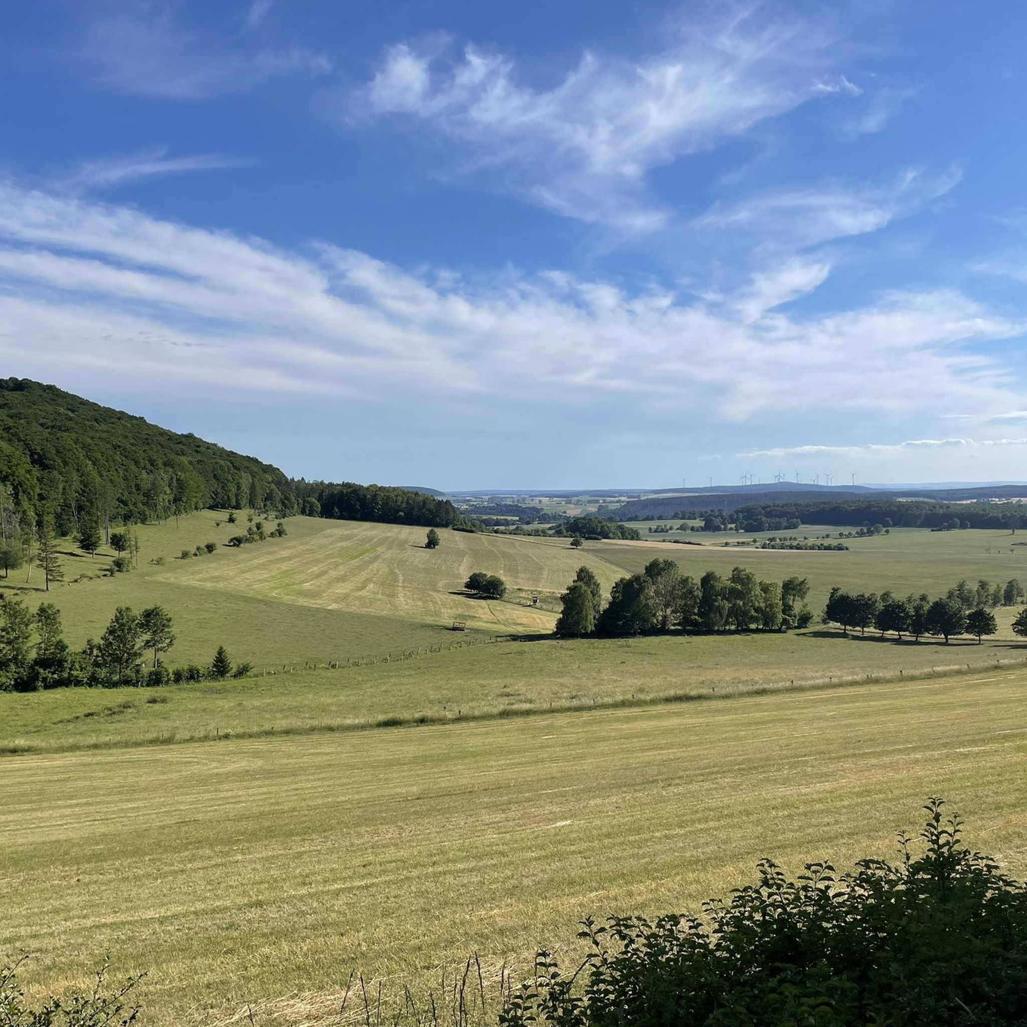
Gravel biking around Seulingswald is characterized by routes that traverse river meadows, forest sections, and established cycle paths. The region features a mix of rolling terrain and varied surfaces suitable for gravel bikes, with elevations generally moderate and some routes including longer climbs. As a sandstone hill range within the German Central Uplands, Seulingswald presents a landscape of rolling hills, offering engaging climbs and descents. This area is one of Hesse's largest contiguous woodland areas, providing numerous forest paths and…
Last updated: October 6, 2026
5.0
(2)
9
riders
42.4km
02:31
420m
420m
Hard gravel ride. Good fitness required. You may need to push your bike for some segments of this route.
5.0
(4)
10
riders
25.3km
01:34
370m
370m
Moderate gravel ride. Good fitness required. Mostly paved surfaces. Suitable for all skill levels.

4.0
(1)
5
riders
27.6km
01:38
300m
300m
Moderate gravel ride. Good fitness required. Mostly paved surfaces. Suitable for all skill levels.
5.0
(1)
8
riders
37.9km
02:33
550m
560m
Hard gravel ride. Very good fitness required. Mostly paved surfaces. Suitable for all skill levels.
4
riders
18.5km
01:13
320m
320m
Moderate gravel ride. Good fitness required. Mostly paved surfaces. Suitable for all skill levels.
Get access to more routes and recommendations from other explorers.
Already have an account?
Our route recommendations are based on thousands of hikes, rides, and runs completed by other people on komoot.
Start today with a free account
Your next adventure awaits.
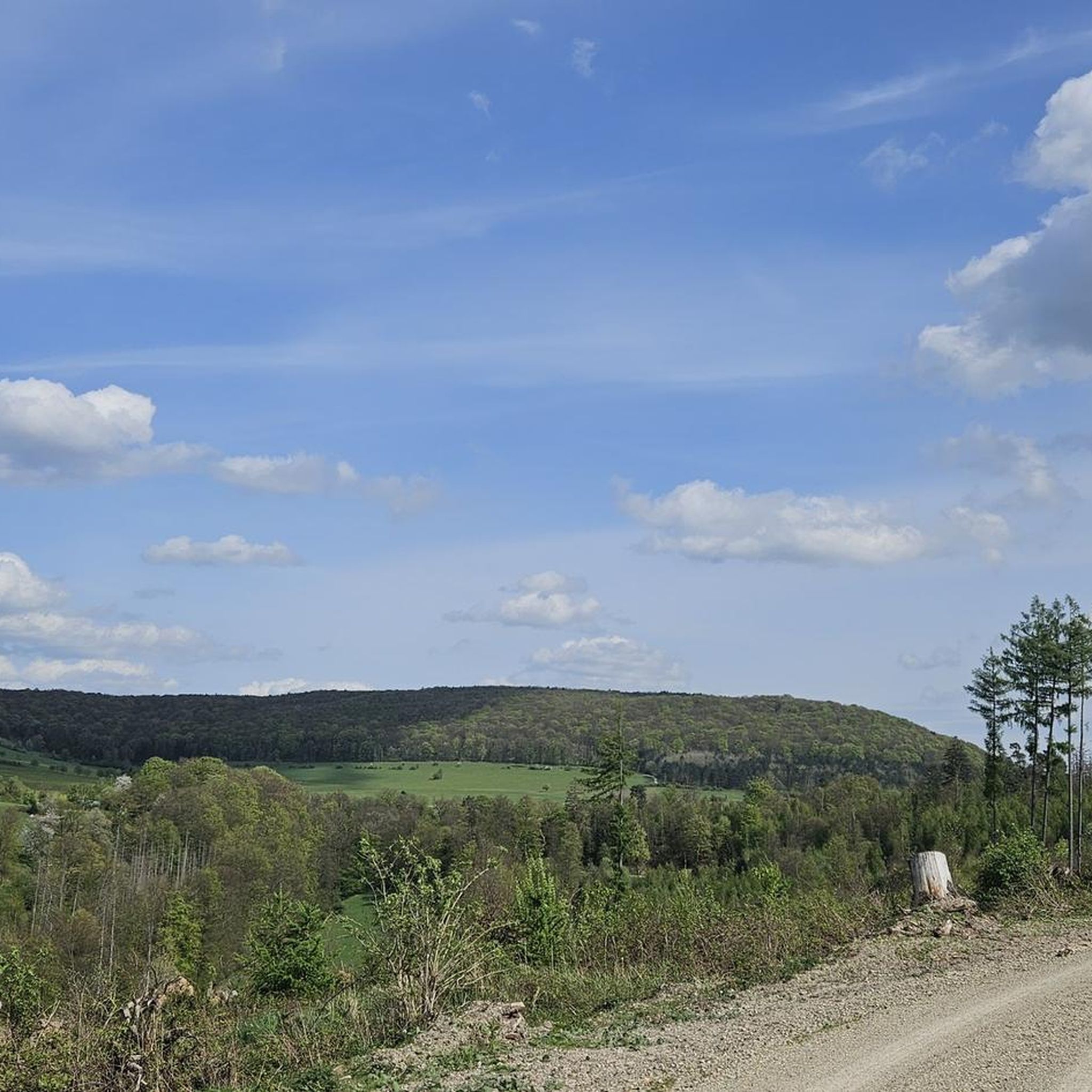
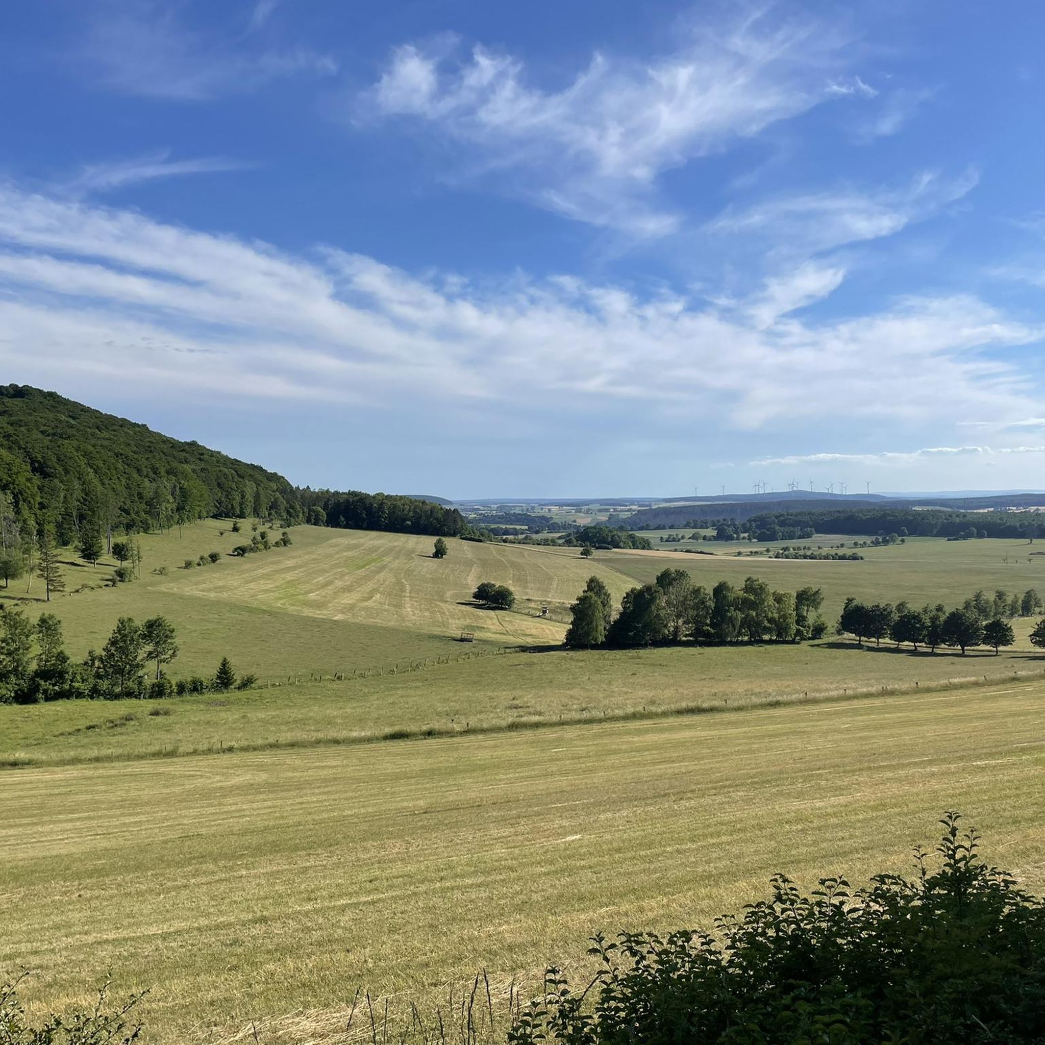
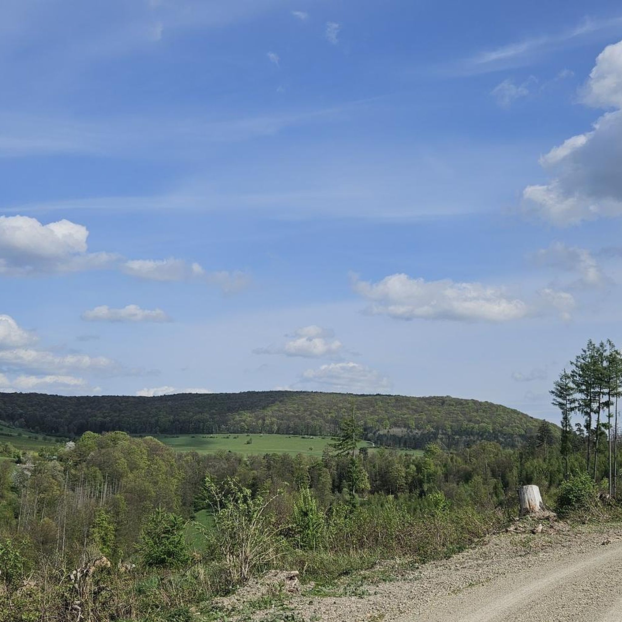
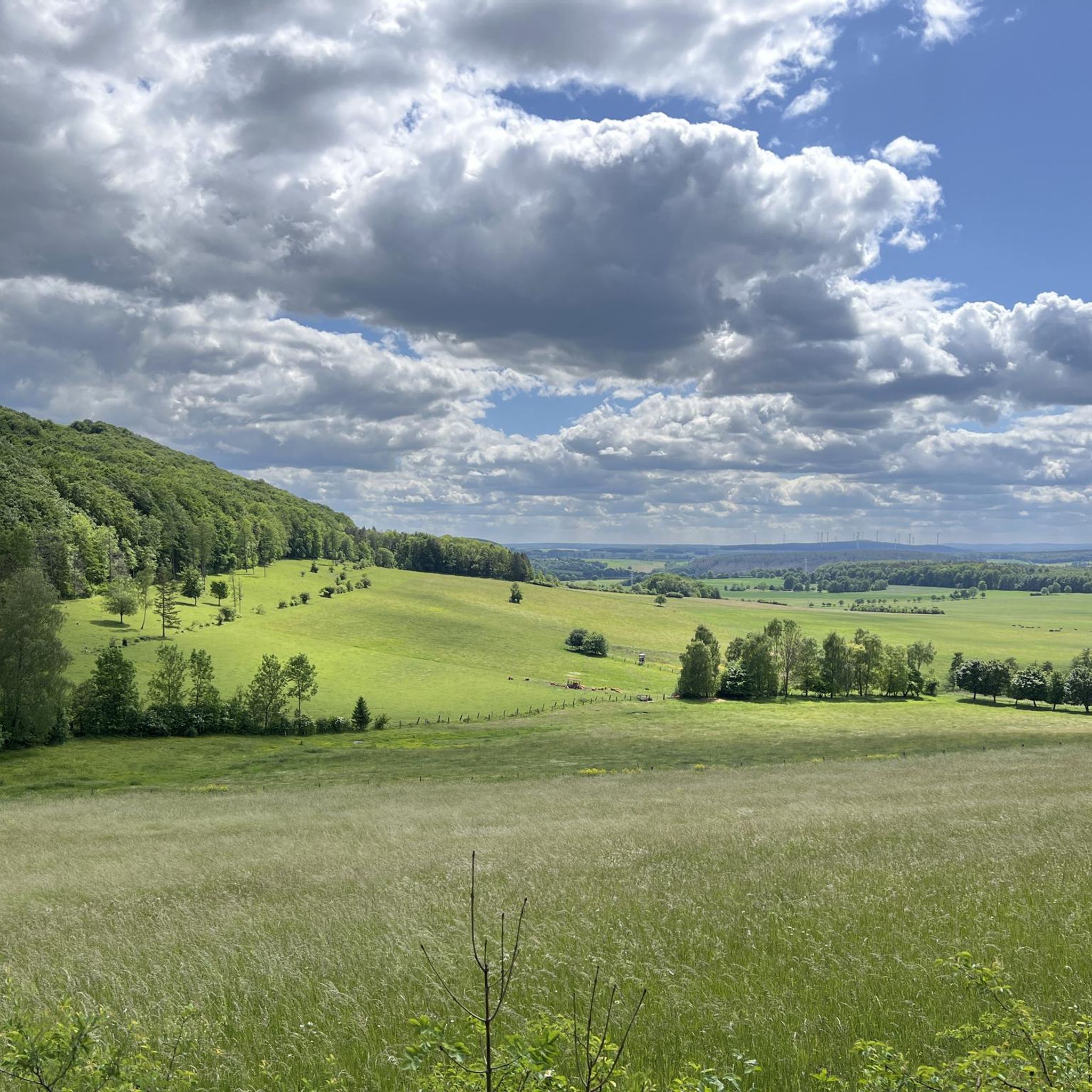
Tips from the Community

Charming half-timbered houses in narrow alleys, the well-preserved city wall, and the Landgrafenschloss with its castle park invite you for a stroll. Numerous cafés and restaurants offer refreshments.
1
0

📍 Bechsteins Rast – intersection with six paths? Today I took a closer look at the signpost at Bechsteins Rast. Actually an inconspicuous spot in the middle of the forest – and yet at least five paths meet here. And then there's a sixth, but hidden path… 🤔 The clearest is the Homberg ↔ Bad Hersfeld axis: here runs the H34, the Hersfeld-Homberger-Höhenweg. To the north, it leads in the direction of Homberg, with the Gebrannte Kopf (493 m) waiting as the next prominent elevation. In the southern direction, the H34 leads over the Beiersrück (439 m) further to Bad Hersfeld. It gets more exciting with the remaining turn-offs: ↖ NNW leads downhill (several possibilities) to Obergeis. Towards → E, a forest path leads in the direction of Tann, above and parallel to the Hauksgrund. ↗ NNE, on the other hand, leads directly down into the Hauksgrund – probably not the shorter connection to Tann, but certainly the more scenic one. And then there's path No. 6: ↙ SSW branches off a path that is quite overgrown initially today. Those who are not deterred by this will find a quite passable old forest path further along, which leads in a curve downhill to Untergeis. Bechsteins Rast – four paths on the signpost, five (six) in the landscape. A small traffic junction in the middle of the forest, where you can choose all directions of the compass. 🥾🧭
0
0


So hidden and so interesting. I can only recommend packing this into the tour.
0
1
Too bad on Komoot that the images are predetermined. I would have liked to attach the corresponding photos.
0
1

The tower is open again and can also be climbed.
2
0

make yourselves comfortable amongst yourselves
0
0
Frequently Asked Questions
What is the general difficulty level of gravel bike trails in Seulingswald?
Seulingswald offers a diverse range of gravel biking routes. Out of 65 available tours, 32 are rated as moderate, and 31 are considered difficult, providing ample challenge for experienced riders. There are also 2 easier routes for those looking for a more relaxed ride.
Are there any long-distance gravel biking routes in Seulingswald?
Yes, you can find several longer routes. For instance, the Fuldawiesen near Meckbach – Solztal Cycle Path loop from Bebra covers approximately 35.9 miles (57.7 km), offering a substantial ride through river meadows and along a cycle path.
Where can I find parking for gravel biking in Seulingswald?
While specific parking locations are often detailed on individual tour pages, many routes in Seulingswald start from towns like Motzfeld, Friedewald, or Bebra, where public parking options are typically available. We recommend checking the starting point of your chosen route on komoot for precise parking information.
Are there gravel biking routes in Seulingswald accessible by public transport?
Many routes in the Seulingswald region are designed to be accessible from local towns and villages, which may have public transport connections. For detailed information on public transport access for a specific route, it's best to check the individual tour page on komoot, as this often includes details on starting points and nearby stations.
What are some good gravel routes for beginners in Seulingswald?
For beginners or those seeking a less strenuous ride, there are a couple of easier routes available. While most trails lean towards moderate or difficult, you can find options that traverse flatter sections and established cycle paths, ideal for getting started with gravel biking in the region.
Are there challenging gravel biking routes for experienced riders in Seulingswald?
Absolutely. Seulingswald is well-suited for experienced gravel bikers, with 31 out of 65 routes classified as difficult. These trails often feature longer climbs, varied terrain, and more technical sections, such as the Fuldawiesen near Meckbach – Solztal Cycle Path loop from Bebra, which includes significant elevation changes.
When is the best time of year for gravel biking in Seulingswald?
The best time for gravel biking in Seulingswald is typically from spring through autumn (April to October). During these months, the weather is generally mild, and the trails are in good condition, offering pleasant riding through the region's forests and river meadows. Summer provides longer daylight hours, while spring and autumn offer beautiful scenery with changing foliage.
What are the conditions like for gravel biking in Seulingswald during winter?
Gravel biking in Seulingswald during winter can be challenging. Trails may be muddy, icy, or covered in snow, especially in forested areas or higher elevations. Shorter daylight hours and colder temperatures also need to be considered. It's advisable to check local weather and trail conditions before heading out and to be prepared with appropriate gear.
What can I see along the gravel bike trails in Seulingswald?
The routes often pass by interesting natural and historical sites. You might encounter natural monuments like the Nadelöhr in the Seulingswald or the Kathuser Seeloch Natural Monument. Some routes also offer scenic viewpoints, such as the View of Friedewald from the Dreienberg shelter, or pass by memorial sites like the one on the Bodesruh Memorial – View of Monte Kali loop from Friedewald tour.
Are there any loop trails for gravel biking in Seulingswald?
Yes, many of the gravel biking routes in Seulingswald are designed as loops, allowing you to start and end at the same point. Examples include the popular Solztal Cycle Path – Fuldawiesen near Meckbach loop from Motzfeld and the Bodesruh Memorial – View of Monte Kali loop from Friedewald.
What do other gravel bikers enjoy the most about gravel biking in Seulingswald?
The gravel biking routes in Seulingswald are highly rated by the komoot community, with an average score of 4.5 stars from over 60 reviews. Riders often praise the diverse terrain, which includes a mix of river meadows, forest sections, and established cycle paths, offering varied experiences for all skill levels.
Are there places to stop for refreshments or shelter along the trails?
Yes, the region offers several huts and shelters that can provide a break or protection from the elements. You might find spots like the Lautenhausen Shelter and Forest Fountain, the Shelter on the Solzbachtal cycle path, or the Dreienberg shelter and stone fountain. There's also the Knallhütte, which serves as a restaurant.
Most popular routes around Seulingswald
Most popular attractions around Seulingswald

Get inspired with the komoot mobile app


Explore more
Browse the best Gravel rides in other regions.
