The best gravel rides around Tramonti Di Sotto
4.0
(1)
46
riders
16
rides
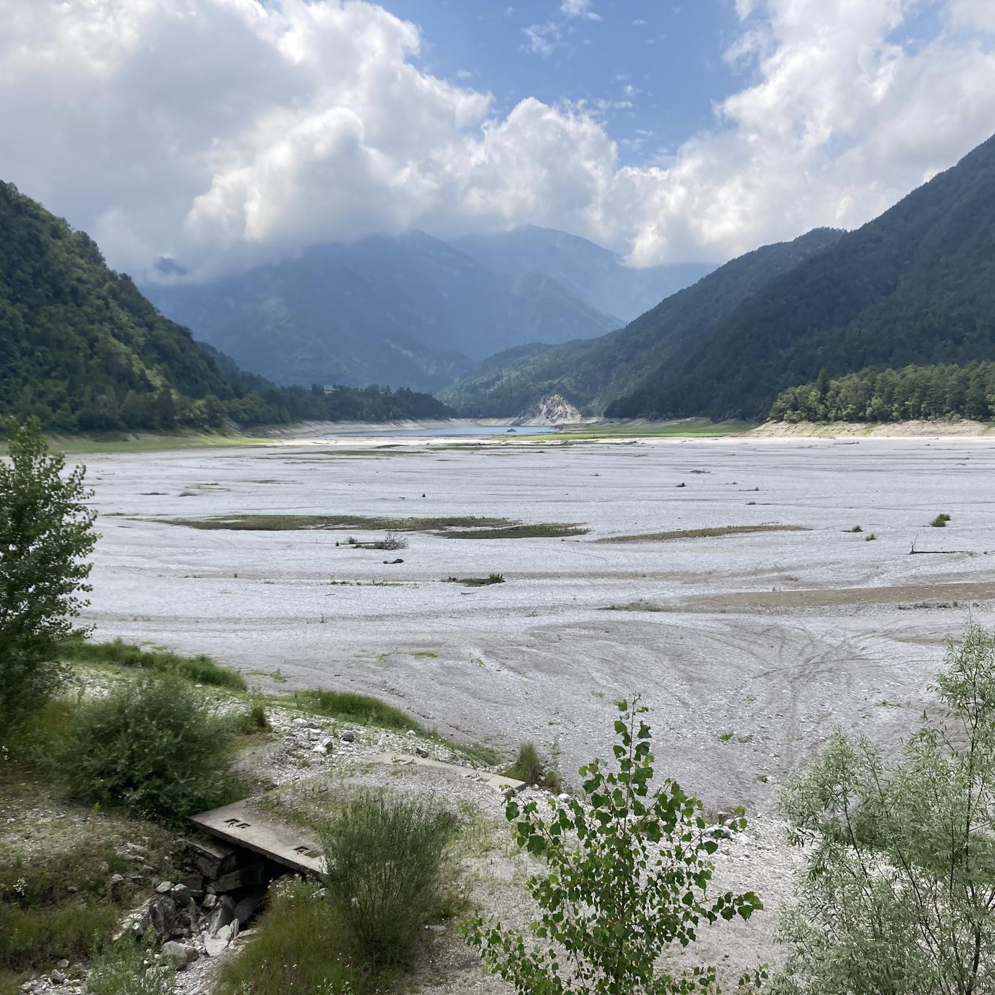
Gravel biking around Tramonti Di Sotto offers diverse landscapes within a pre-Alpine environment, characterized by challenging mountain paths and scenic unpaved roads. The region features natural elements such as Lake Tramonti, the Arzino River, and the Cellina stream, alongside forests and varied mountainous terrain. This topography provides a dynamic backdrop for gravel biking, with routes incorporating climbs and descents through both paved and unpaved sections. The area's mixed terrains include dirt roads and some singletrack, suitable for exploration.
Best gravel…
Last updated: October 21, 2026
2
riders
47.5km
03:12
290m
290m
Moderate gravel ride. Good fitness required. Mostly paved surfaces.
14
riders
44.3km
03:43
1,630m
1,630m
Hard gravel ride. Very good fitness required. Mostly paved surfaces.

9
riders
47.5km
03:21
860m
860m
Hard gravel ride. Very good fitness required. Mostly paved surfaces.
4.0
(1)
8
riders
53.1km
03:11
280m
280m
Moderate gravel ride. Good fitness required. Mostly paved surfaces.
2
riders
52.8km
03:13
310m
310m
Moderate gravel ride. Good fitness required. Mostly paved surfaces.
Get access to more routes and recommendations from other explorers.
Already have an account?
Our route recommendations are based on thousands of hikes, rides, and runs completed by other people on komoot.
Start today with a free account
Your next adventure awaits.

Tips from the Community

Maniago, located at the foot of the Carnic Prealps in the Pordenone foothills, is a Friulian town famous throughout the world for its centuries-old tradition in cutlery and ironworking. The beating heart of the historic center is Piazza Italia, one of the largest in the region, dominated by the 15th-century cathedral in Gothic-Renaissance style and surrounded by elegant buildings and historic fountains. Strolling through its streets, you can breathe in a hardworking and welcoming atmosphere, enriched by the presence of the Museum of Blacksmithing and Cutlery, which tells the story of the evolution of local artisanal ingenuity. Surrounded by unspoiled nature, Maniago also represents a gateway to the evocative surrounding valleys, offering a perfect blend of culture, industrial history, and alpine landscapes. A fascinating destination where artisanal knowledge meets the beauty of the territory.
0
0
The Ponte sul Cellina is an extraordinary feat of engineering and a striking viewpoint immersed in the wild nature of the Carnic Prealps. Suspended over the crystal-clear waters of the Cellina stream, the structure offers a spectacular passage along the famous Valcellina, connecting banks shaped by time and erosion. Its privileged position allows you to admire the imposing limestone gorges and the turquoise reflections of the river, offering visitors a visual experience of great emotional impact. Beyond its logistical and infrastructural function, the bridge represents a symbol of union between man and the territory, integrating harmoniously into a protected landscape of rare beauty. Crossing it means immersing yourself in an uncontaminated natural setting, where the contrast between constructive ingenuity and the power of nature creates a unique and unforgettable atmosphere.
0
0

A fantastic gravel section along trees and meadows. The surface is fine gravel, no potholes. There can be accumulations of gravel on the roadside, so it's better to cycle in the track.
0
0

Descent brilliant, ascent brutal.
2
0
Hammer route with luggage managed, but took the cable car, descent was grandiose, similarly crazy as the Col de la Loze.
2
0
Managed with luggage, even if it was just the cable car. Dream pass and great descent.
2
0

The mountain hut in the shadow of the homonymous peak.
0
0
The "Malga Meleit" is a managed alpine hut. It is located in a wide basin above the tree line. The ambiance feels like a huge arena with the surrounding mountains as spectators.
0
0
Frequently Asked Questions
How many gravel bike trails are available in Tramonti Di Sotto?
There are 18 gravel bike trails around Tramonti Di Sotto, offering a mix of moderate and difficult routes for exploration. You'll find 6 moderate and 12 difficult trails, catering to various skill levels.
What kind of terrain can I expect on gravel bike trails in Tramonti Di Sotto?
The terrain around Tramonti Di Sotto is diverse, featuring a compelling mix of challenging mountain paths and scenic unpaved roads. You'll encounter mixed surfaces, including both paved and unpaved sections, forest trails, and paths that traverse ancient hamlets, all set within a pre-Alpine environment with forests, mountains, and rivers.
Are there any family-friendly gravel biking options in Tramonti Di Sotto?
While many routes in Tramonti Di Sotto are rated moderate to difficult, the region offers varied landscapes. For an easier experience, consider exploring sections of the "Percorso del Sole" (Sun Pedestrian Route) which has both dirt and paved sections near the Meduna River, offering panoramic and naturalistic points of interest. Always check route details for specific difficulty and elevation before heading out with family.
What natural features or landmarks can I see along the gravel bike trails?
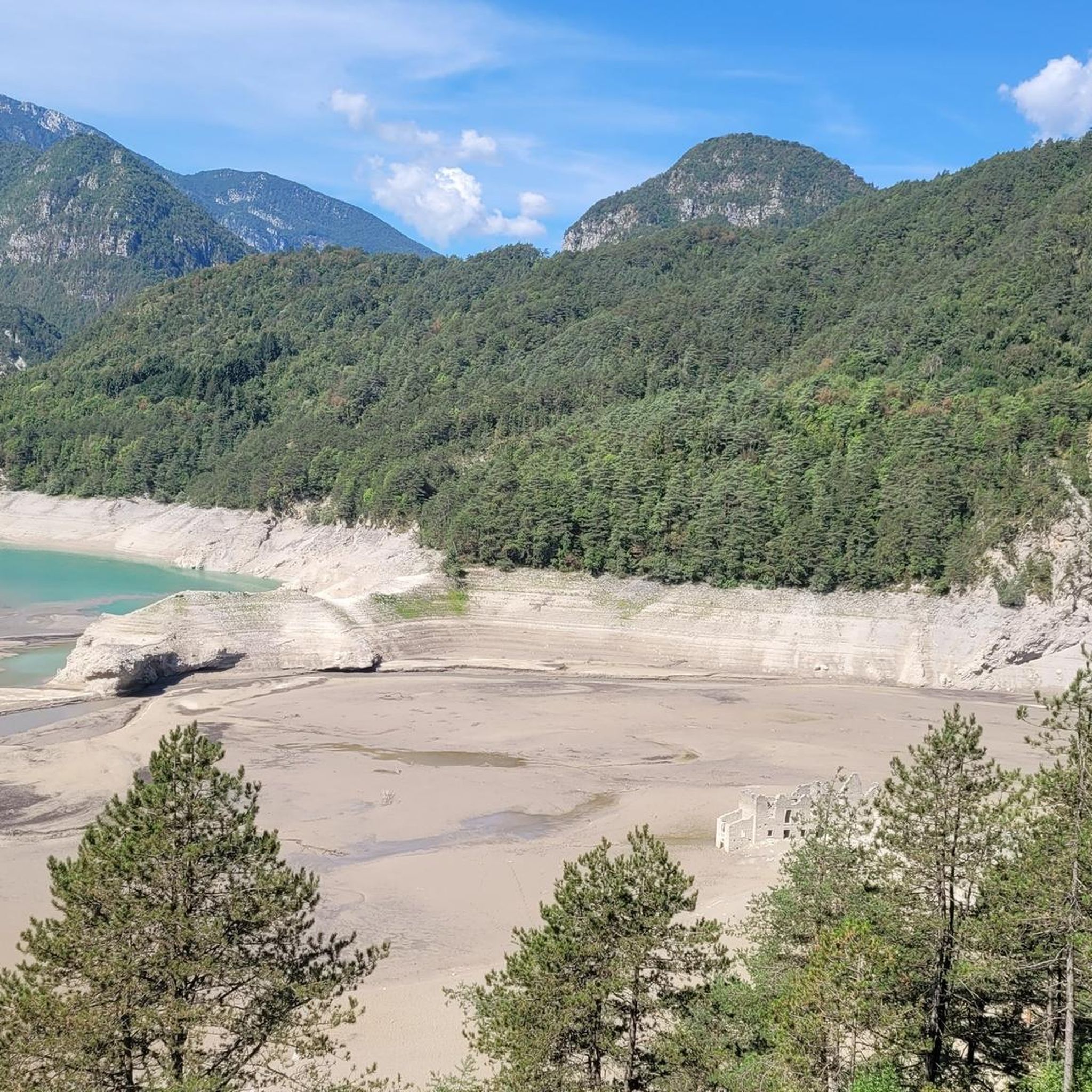
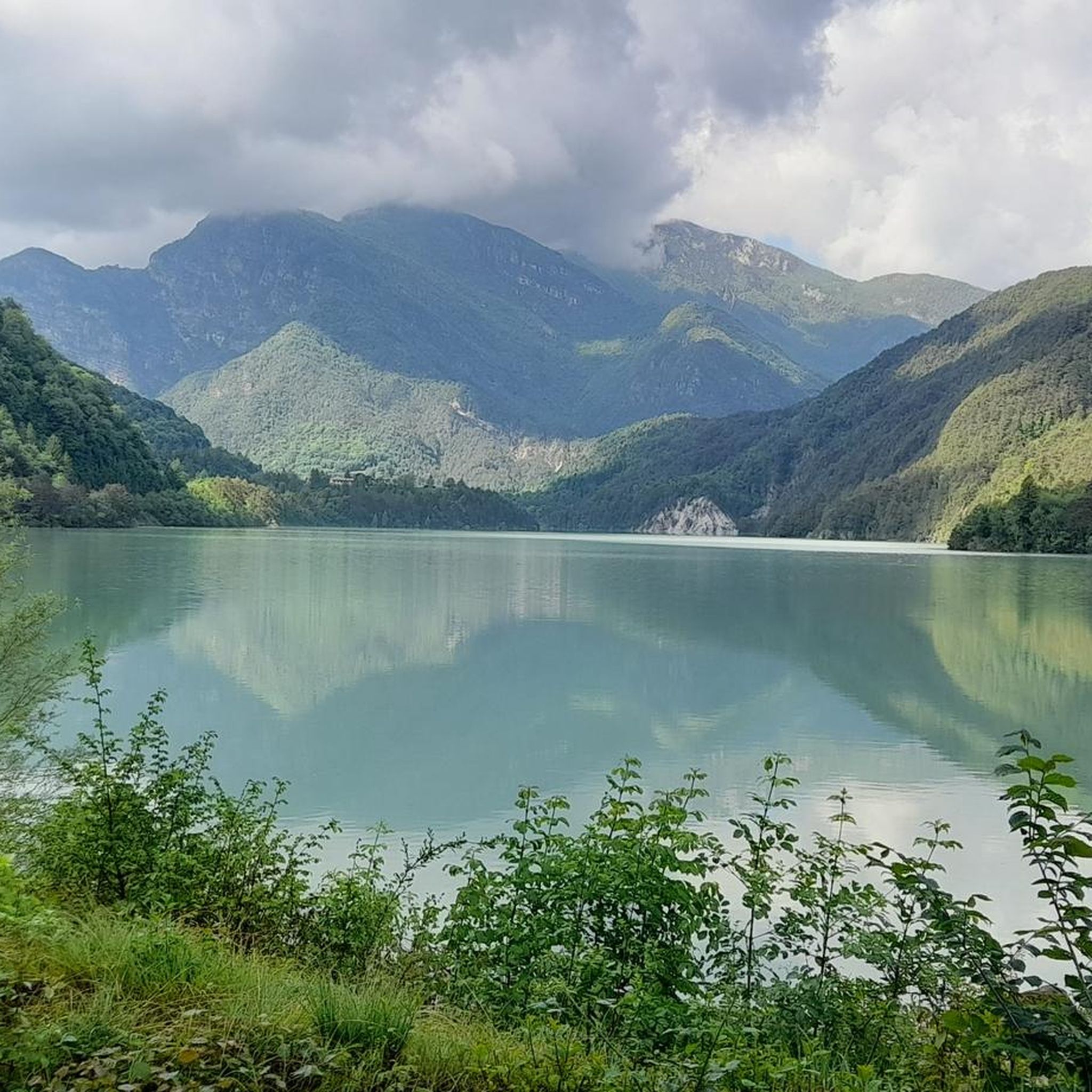
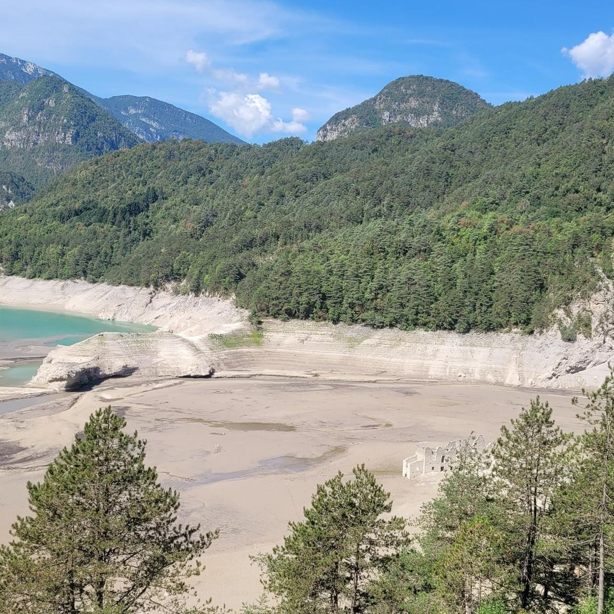
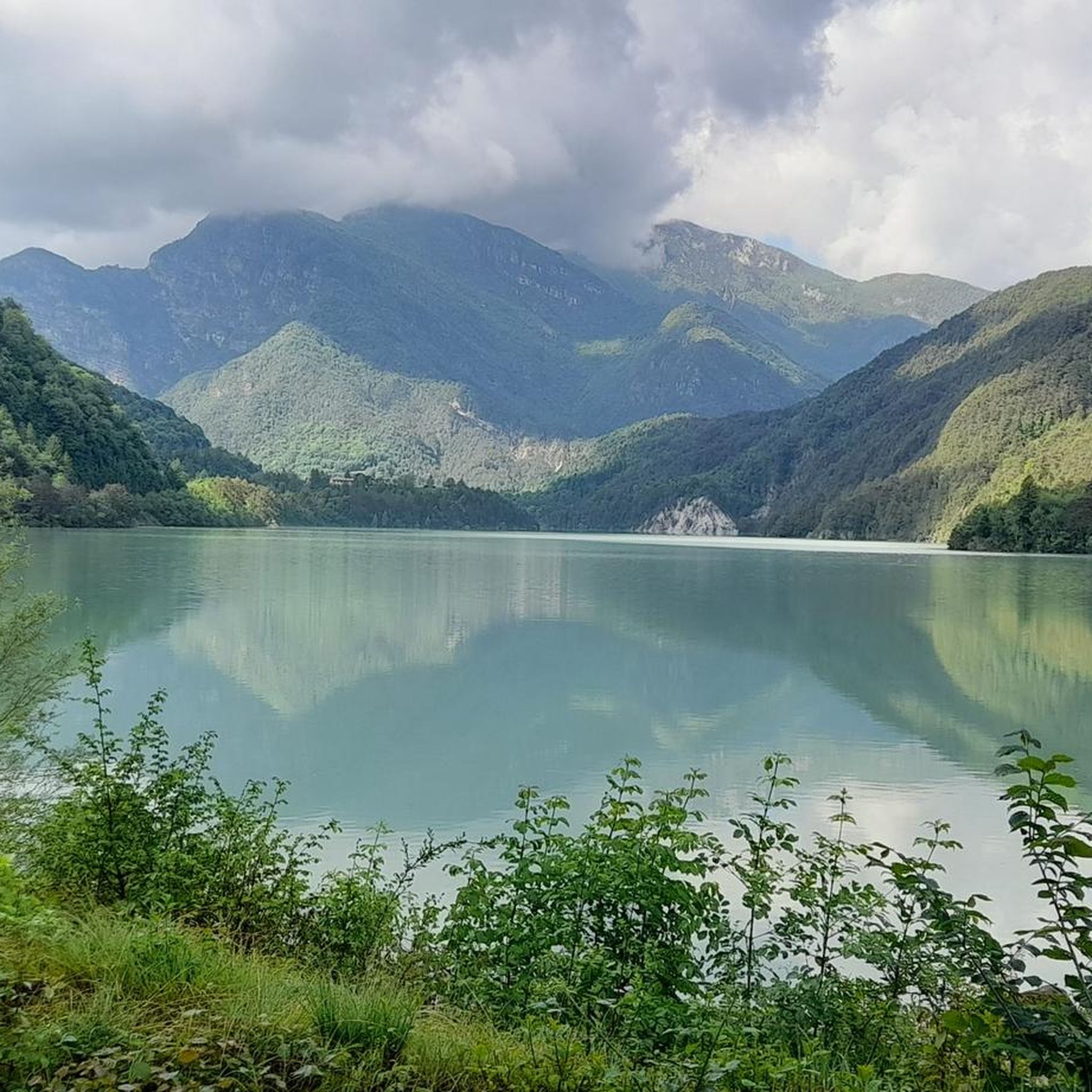
Many trails offer views of significant natural features. You might see Lake Tramonti, where abandoned houses emerge when water levels are low, or ride along the Arzino River. The region is also home to the "Pozze Smeraldine" (Emerald Pools) known for their clear, green waters. For mountain views, routes like the View of the Degano River – Monte Zoncolan Pass Road loop from Enemonzo / Enemonç offer stunning pre-Alpine scenery.
Are there any cultural or historical points of interest accessible by gravel bike?
Yes, the region is rich in cultural heritage. You can ride past ancient hamlets showcasing traditional rural architecture. The charming Poffabro Village, recognized as one of Italy's most beautiful, is a notable stop. You might also encounter historical sites like the Pieve di Santa Maria Maggiore, a late 15th-century church with significant frescoes, or even some of the castles around Tramonti Di Sotto.
What do other gravel bikers enjoy most about the trails in Tramonti Di Sotto?
The gravel biking routes in Tramonti Di Sotto are highly rated by the komoot community, with an average score of 4.4 stars from over 5 reviews. Reviewers often praise the varied terrain, from pre-Alpine valleys to unpaved forest roads and riverine landscapes, which provide a true adventure for gravel enthusiasts.
When is the best season for gravel biking in Tramonti Di Sotto?
The region is ideal for outdoor activities from spring through autumn. The diverse landscapes with forests, mountains, and rivers are particularly appealing in milder weather. While specific winter conditions vary, many routes are best enjoyed when snow and ice are not present, typically from late spring to early autumn.
Are there any long-distance or loop gravel routes available?
Yes, many routes are designed as loops, allowing for comprehensive exploration. For example, the Spilimbergo – Bridge over the Cellina stream loop from Maniago is a significant 67.6 km (42.0 miles) route. Another option is the Lake Tramonti – Clauzetto loop from Fanna, covering 58.8 km (36.5 miles).
Where can I find parking for gravel biking trailheads in Tramonti Di Sotto?
While specific parking locations vary by trailhead, many routes start from towns like Maniago or Fanna, which typically offer public parking facilities. It's advisable to check the starting point of your chosen route on komoot for more precise parking information.
Are there any challenging gravel routes for experienced riders?
Absolutely. Tramonti Di Sotto is known for its challenging terrain. Many of the 12 difficult routes require good fitness and advanced riding skills due to unpaved and potentially demanding sections. The View of the Degano River – Monte Zoncolan Pass Road loop from Enemonzo / Enemonç, for instance, involves significant elevation gain through mountainous terrain.
Can I find cafes or places to stop for refreshments along the gravel trails?
The region features charming ancient hamlets and villages like Poffabro, which often have local cafes or trattorias where you can stop for refreshments. Larger towns near trailheads, such as Maniago, will also offer a wider selection of services. Planning your route with komoot can help identify potential stops along the way.
What are the elevation changes like on gravel bike trails in Tramonti Di Sotto?
Elevation changes vary significantly across the trails, reflecting the pre-Alpine environment. While some routes have moderate climbs, others feature substantial ascents. For example, the View of the Degano River – Monte Zoncolan Pass Road loop from Enemonzo / Enemonç includes over 1600 meters of elevation gain, indicating challenging climbs for experienced riders.
Most popular routes around Tramonti Di Sotto
Most popular attractions around Tramonti Di Sotto

Get inspired with the komoot mobile app


Explore more
Browse the best Gravel rides in other regions.
