The best gravel rides around Erto E Casso
4.7
(19)
431
riders
10
rides
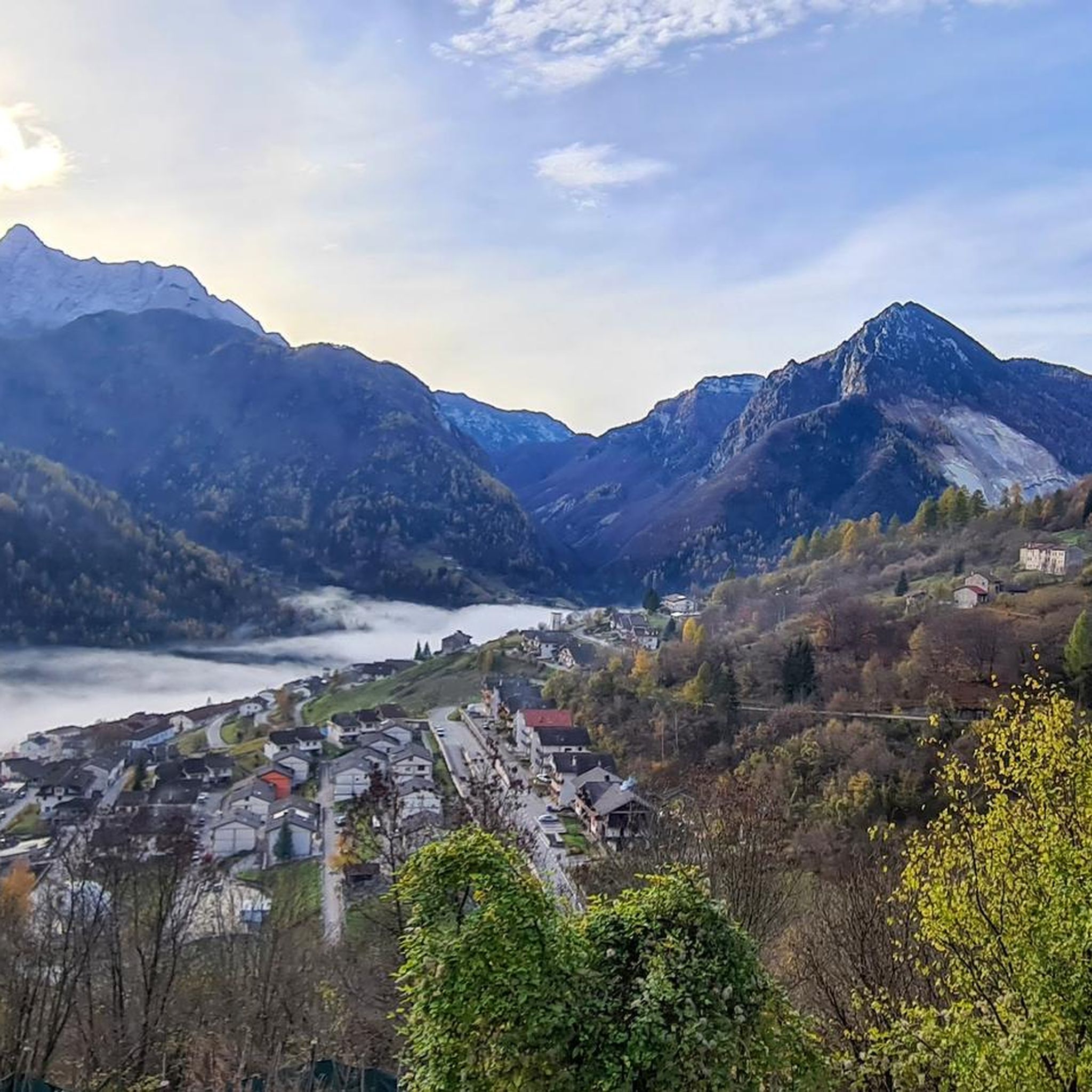
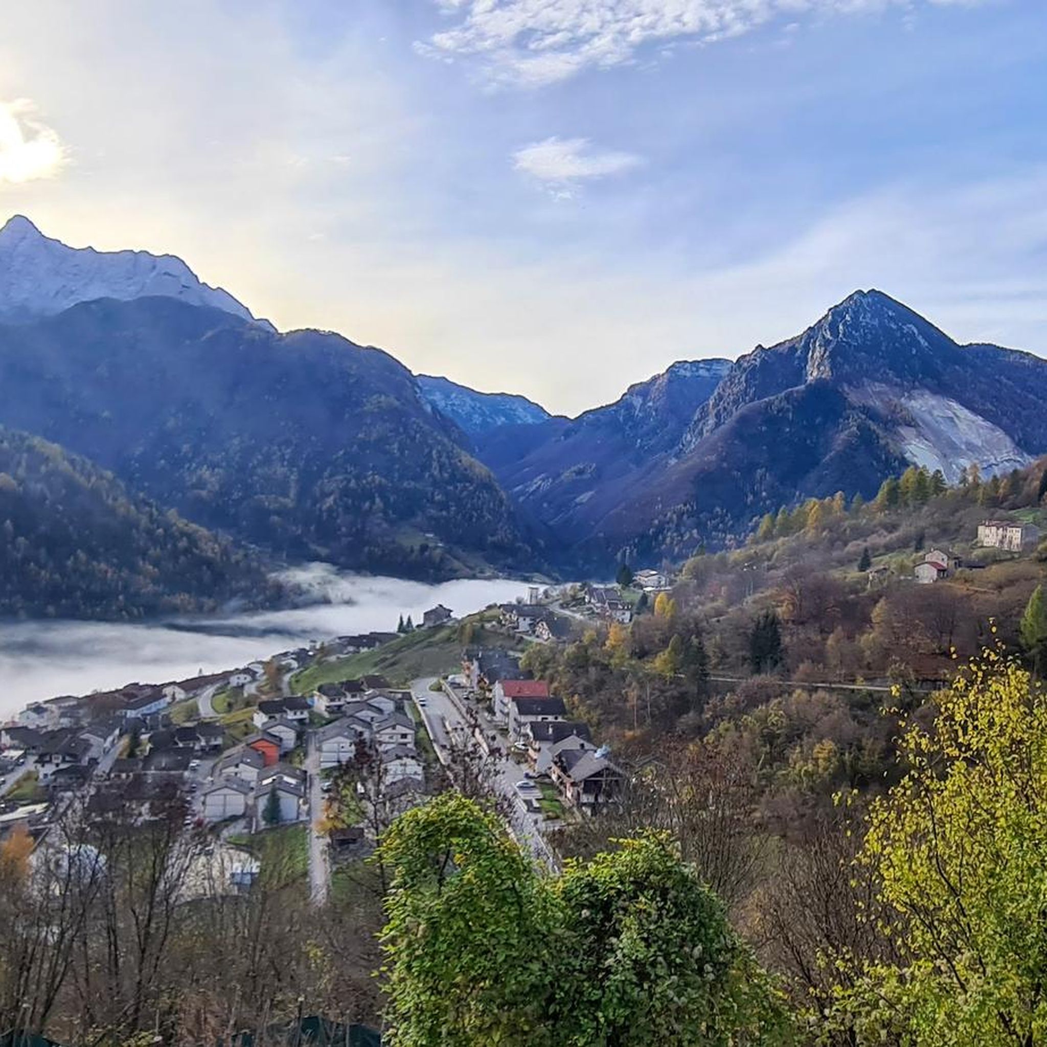
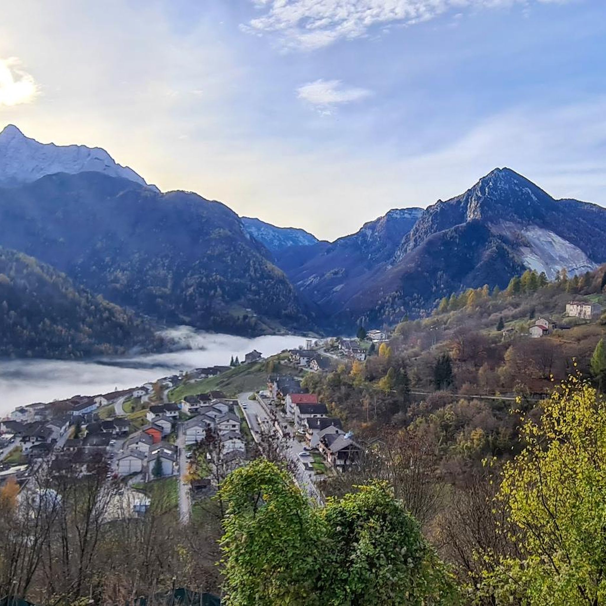
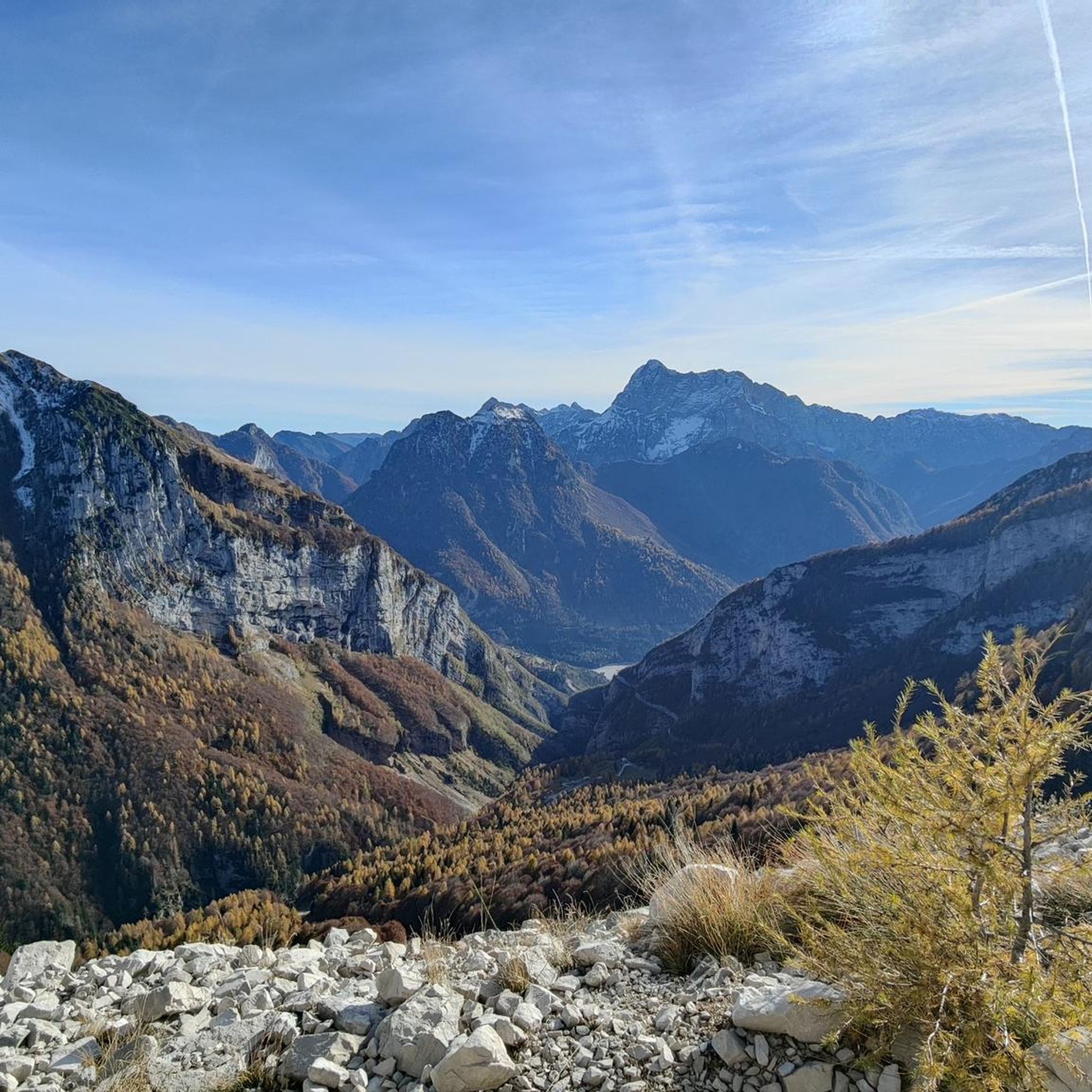
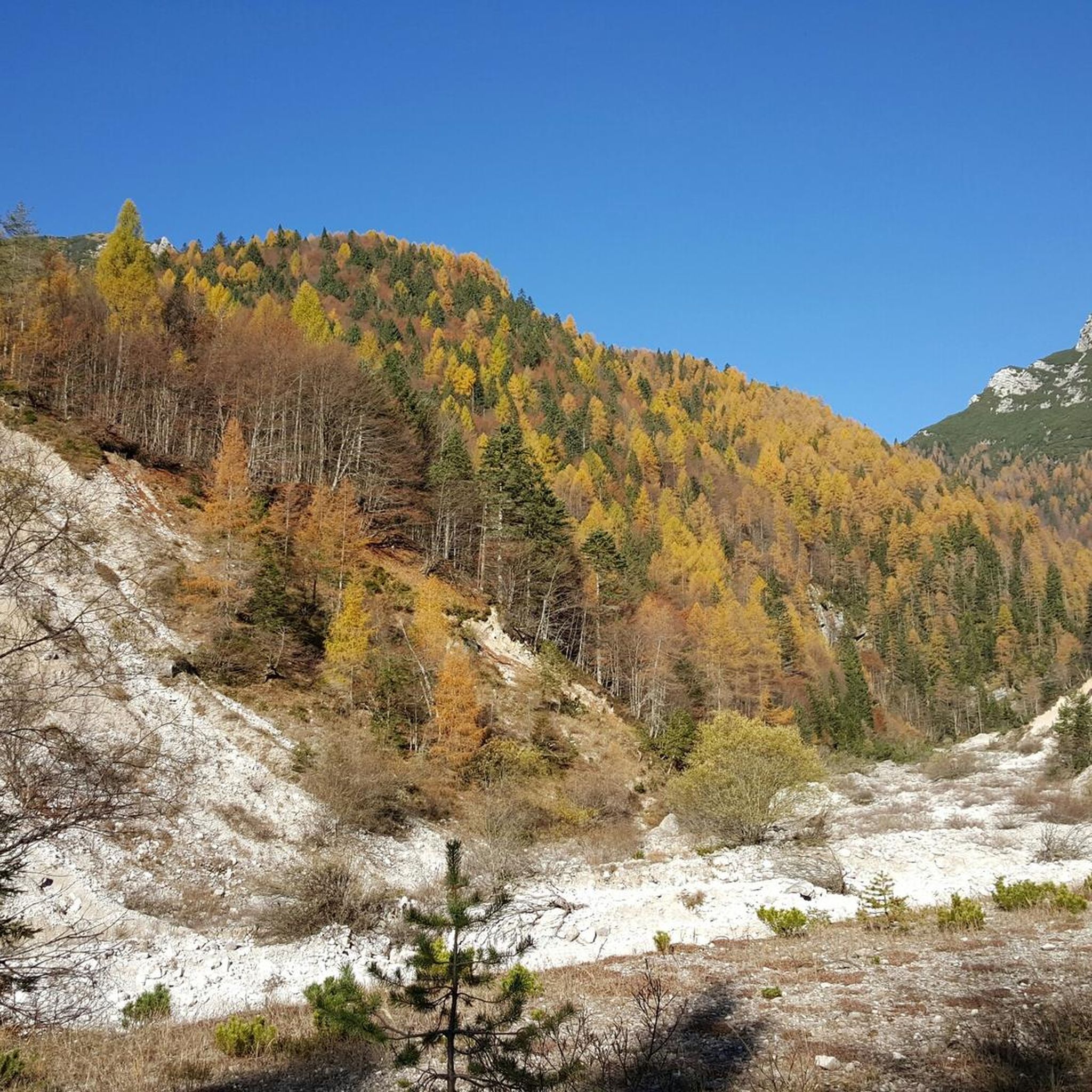
Gravel biking around Erto E Casso is characterized by its location within the Friulian Dolomites Natural Park, offering a diverse landscape of mountainous terrain. The region features imposing mountains, valleys like Val Zemola, and an extensive network of forest roads and unpaved trails. These routes often transition between paved and unpaved sections, providing varied riding surfaces suitable for gravel cycling. The terrain includes significant elevation changes and natural features such as the Vajont Valley.
Best gravel bike trails around Erto…
Last updated: July 4, 2026
4.5
(22)
291
riders
74.5km
04:12
670m
670m
Hard gravel ride. Very good fitness required. Mostly paved surfaces. Suitable for all skill levels.
14
riders
33.0km
02:57
1,200m
1,200m
Hard gravel ride. Very good fitness required. Mostly paved surfaces. Suitable for all skill levels.

Sign up for free
4.3
(6)
118
riders
54.1km
03:19
540m
540m
Hard gravel ride. Very good fitness required. Mostly paved surfaces. Suitable for all skill levels.
14
riders
52.4km
03:45
1,180m
1,180m
Hard gravel ride. Very good fitness required. You may need to push your bike for some segments of this route.
7
riders
52.1km
03:40
1,090m
1,090m
Hard gravel ride. Very good fitness required. Mostly paved surfaces. Suitable for all skill levels.
Get access to more routes and recommendations from other explorers.
Sign up for free
Already have an account?
Our route recommendations are based on thousands of hikes, rides, and runs completed by other people on komoot.
Start today with a free account
Your next adventure awaits.
Login or Signup

Tips from the Community

The Via Regia cycle path is a picturesque cycle-pedestrian route that winds north of Lake Santa Croce, connecting the Alpago and the area of Ponte nelle Alpi to Soverzene. The route, mostly flat and suitable for cyclists of all levels, closely follows the path of the impressive hydraulic engineering works that connect the Piave river to the lake basin. Cycling along this route, you will find yourself immersed in a natural setting of great value, characterized by dense riparian forests and wetlands. The route passes through the Sbarai Nature Oasis, offering splendid views of the reed beds and the lake, before heading north between rock faces loved by climbers. It is a fundamental segment for both local tourism and long-distance cycle tourists, forming part of the famous international Munich-Venice route.
1
0

Beautiful cycle path along the Piave river.
8
0
Suggestive cycle path along the Piave river.
14
0
Beautiful lake for water sports.
17
0

beautiful cycle path, great cycling
0
0

A cycle path connecting Belluno with Ponte nelle Alpi... a short stretch, but we hope it will be improved.
0
0
A cycle path surrounded by greenery, on the border between the municipalities of Ponte nelle Alpi and Alpago, suitable even for younger children.
0
0
A beautiful cycle path, perfect for exploring with children, immersed in the greenery of Valbelluna.
0
0
Frequently Asked Questions
What kind of terrain can I expect on gravel bike trails around Erto E Casso?
Gravel biking in Erto E Casso offers a diverse mix of terrain, characteristic of the Friulian Dolomites National Park. You'll encounter extensive forest roads, unpaved trails, and sections that transition between paved and unpaved surfaces. The landscape is dramatically mountainous, featuring rugged peaks and valleys like Val Zemola, providing varied riding conditions.
Are there challenging gravel bike routes in Erto E Casso?
Yes, Erto E Casso is known for its challenging gravel bike routes. Out of the five tours listed, four are rated as difficult, requiring good fitness and technical skills. For example, the Candaglia Forest Road – Strada del Taffarel loop from Longarone-Zoldo covers over 100 km with significant elevation gain, making it a demanding ride.
Are there any easier or moderate gravel biking options available?
While many routes are challenging, there is at least one moderate option, such as the Lake Santa Croce – Lake Santa Croce loop from Ponte nelle Alpi-Polpet. This route offers a substantial distance of over 50 km and more than 1000 meters of elevation gain, providing a good workout without the extreme difficulty of some other trails in the region.
What are some notable natural features or landmarks I can see while gravel biking?
The region is rich in natural beauty and historical significance. You can explore the dramatic Vajont Valley and its features, including the Vajont Gorge and Waterfall. Other highlights include the Piave Cycle Path – Cliffside and Tunnel Section, and the Hidden Waterfall on the Tovanella Stream. The area is also characterized by unique geological formations like the 'Libri di San Daniele' rock formations.
Are there any circular gravel bike routes in the area?
Yes, all the featured gravel bike routes around Erto E Casso are designed as loops. This allows you to start and finish at the same point, making logistics easier. Examples include the Pradut Hut – Clautana Pass loop from Claut / Cjolt and the Lake Santa Croce – Lake Santa Croce loop from Ponte nelle Alpi.
What is the best season for gravel biking in Erto E Casso?
The best season for gravel biking in Erto E Casso is typically from spring through autumn. During these months, the weather is generally more stable, and trails are clear of snow, making for optimal riding conditions. While winter offers snowshoeing and ski mountaineering, many gravel trails may be inaccessible or require specialized equipment due to snow and ice.
Are there places to stop for refreshments or accommodation near the trails?
Yes, the region has several mountain huts and villages where you can find refreshments or accommodation. Huts like Casera Bosconero Hut, Dolada Hut, and Rifugio Pordenone serve as excellent bases for outdoor adventurers and often offer food and lodging. The historic centers of Erto and Casso also have local establishments.
What do other gravel bikers say about the trails in Erto E Casso?
The gravel biking routes around Erto E Casso are highly rated by the komoot community, with an average score of 4.5 stars. Reviewers often praise the dramatic mountainous terrain, the extensive network of forest roads, and the varied unpaved trails within the Friulian Dolomites National Park.
Can I access the gravel biking trails using public transport?
While specific public transport links directly to trailheads can be limited in mountainous regions, the villages of Erto and Casso are generally accessible. For detailed information on bus schedules and connections to nearby towns or starting points for routes, it's advisable to check local public transport websites or inquire with tourist information centers in advance.
Are there any other outdoor activities to combine with gravel biking in Erto E Casso?
Absolutely. Erto E Casso is a hub for various outdoor activities. You can explore numerous hiking trails, including the 'Trui dal Sciarbon – Historic Coal Carriers' Path.' The region is also famous for rock climbing near the Vajont Dam, and canyoning is possible in Val Zemola. Lake Santa Croce, featured in some bike routes, is popular for kitesurfing.
What is the typical elevation gain on gravel routes in Erto E Casso?
The gravel routes in Erto E Casso feature significant elevation gains due to the mountainous terrain. For instance, the Pradut Hut – Clautana Pass loop from Claut / Cjolt has an elevation gain of over 1200 meters, while the Candaglia Forest Road – Strada del Taffarel loop from Longarone-Zoldo climbs over 1800 meters. Riders should be prepared for sustained ascents.
Most popular routes around Erto E Casso
Most popular attractions around Erto E Casso

Get inspired with the komoot mobile app


Explore more
Browse the best Gravel rides in other regions.
