The best gravel rides around Ponte Di Legno
4.5
(31)
318
riders
16
rides
Gravel biking around Ponte Di Legno is centered in the Central Italian Alps, at an elevation of 1,258 meters. The region is characterized by its mountainous terrain, including access to Adamello National Park and Stelvio National Park, and features the Oglio River flowing through Val Camonica. This area offers a network of trails with a mix of challenging climbs and scenic routes, suitable for gravel cycling.
Best gravel bike trails around Ponte Di Legno
- The most popular gravel bike trail…
Last updated: October 7, 2026
5.0
(5)
35
riders
30.8km
02:51
1,250m
1,260m
Hard gravel ride. Very good fitness required. Mostly paved surfaces. Suitable for all skill levels.
4.5
(2)
14
riders
40.7km
04:13
1,470m
1,470m
Hard gravel ride. Very good fitness required. Mostly paved surfaces. Suitable for all skill levels.

5.0
(3)
61
riders
28.0km
02:29
1,110m
1,110m
Hard gravel ride. Very good fitness required. Mostly paved surfaces. Suitable for all skill levels.
4.5
(2)
37
riders
100km
07:30
2,500m
2,500m
Hard gravel ride. Very good fitness required. You may need to push your bike for some segments of this route.
5.0
(1)
9
riders
20.2km
01:58
930m
930m
Hard gravel ride. Very good fitness required. Mostly paved surfaces. Suitable for all skill levels.
Get access to more routes and recommendations from other explorers.
Already have an account?
Our route recommendations are based on thousands of hikes, rides, and runs completed by other people on komoot.
Start today with a free account
Your next adventure awaits.
Popular around Ponte Di Legno

L1 from Garmisch to Brescia – Far from the classic Alpine crossings
Around Ortler on high alpine trails in 7 stages

The Path of Peace – journey into Trentino's history
Trekking in Val di Sole – 7 day hikes at high altitude
Epic adventures in Val di Sole – between glaciers and rock cathedrals
Ten snowshoe hikes in Italy’s Val di Sole

A journey through history and nature in Italy – Via Valeriana on foot
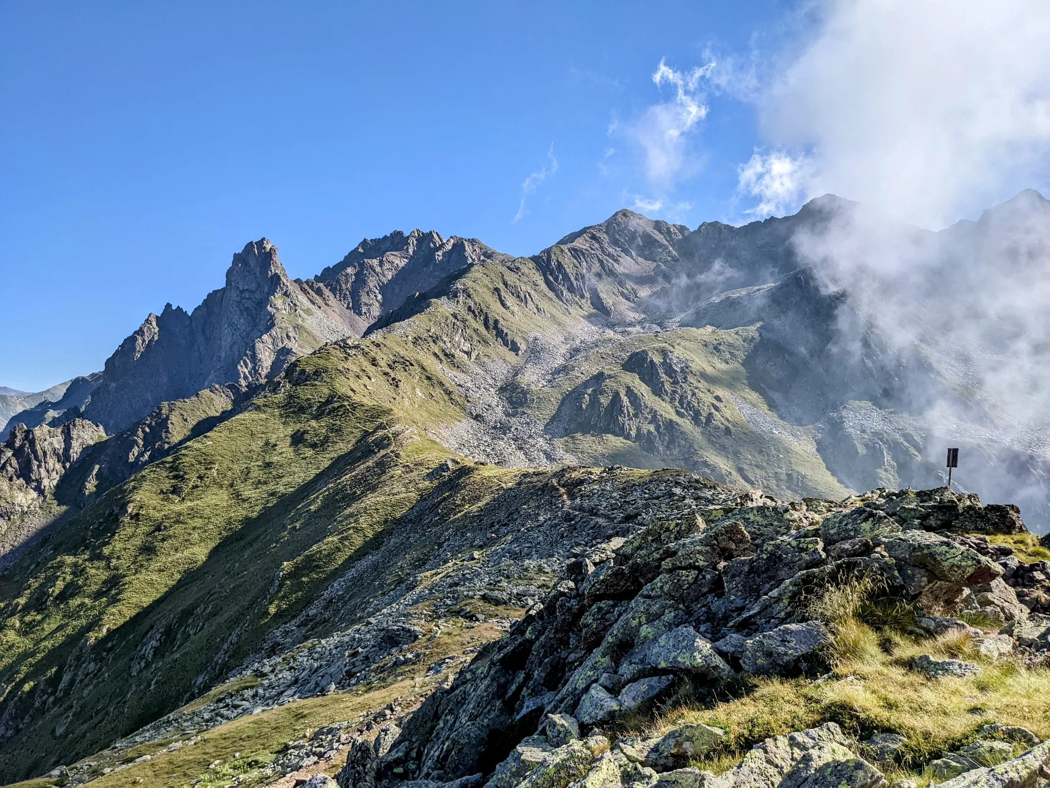
Between history and nature in Val Camonica – Adamello Ultra Trail
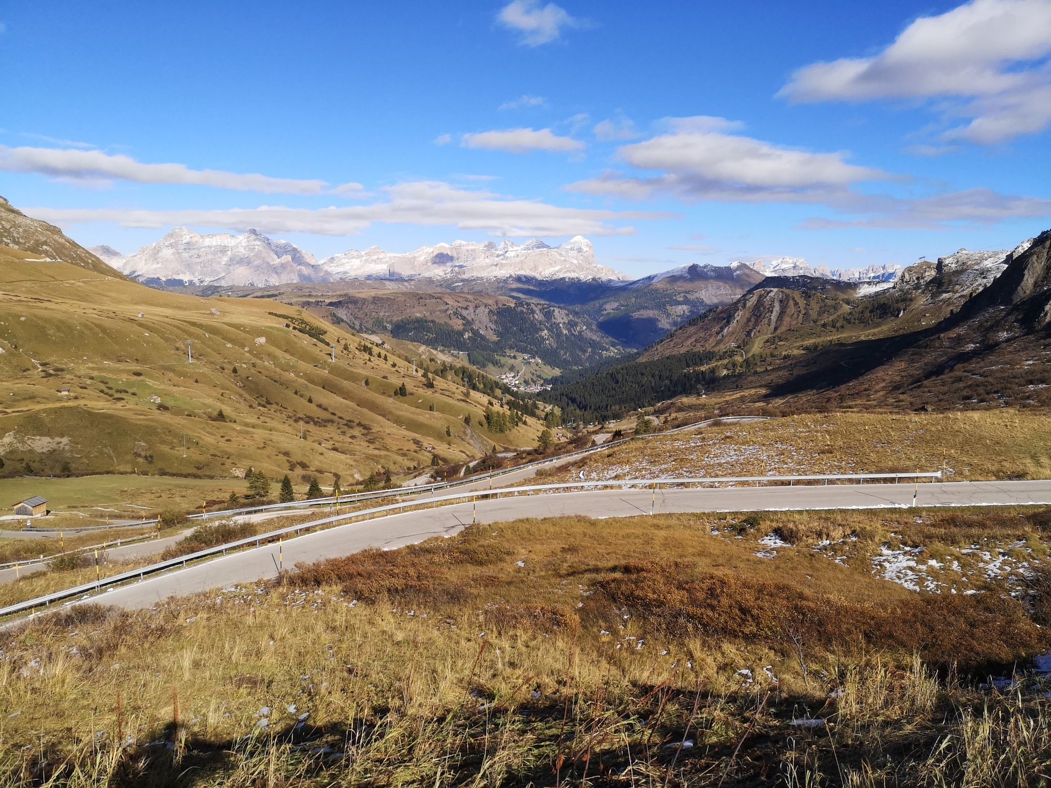
The great passes of the Giro d'Italia – 10 historic climbs

Peaks, rock carvings and mountain huts – hike Italy’s Val Camonica
Other adventures around Ponte Di Legno


Tips from the Community


The Military Shrine of Passo del Tonale is a monumental ossuary monument located at 1,884 meters above sea level on the geographical border between Lombardy and Trentino-Alto Adige. It commemorates the fallen of the so-called "White War", the extremely harsh high-altitude battles fought on the Adamello and Ortles massifs during World War I.
0
0

The fort was built between 1911 and 1913 and represented the connecting work between Forte Saccarana and Forte Presanella. It was a medium-sized fortification, made of compressed concrete and iron beams. Specifically, the fort was intended to block the road leading to the Tonale Pass. It was designed by Lieutenant Hugo Hartmann of the Engineers, at a cost of 500,000 crowns.[1] The fortified structure had a short lifespan as Italian artillery hit and demolished it in 1916. What remained was arranged to house a field hospital for the Tonale line.
0
0

There's brand new tarmac laid on this old road, access is now permitted on foot or bicycle. Inauguration took place on July 4th 2026.
0
0

They made a cycle path on the side, very beautiful, with a monument to the alpine troops.
0
0

There's strength in calmness; the climb is tough. Remember to look over your shoulder every now and then; the view is magnificent.
0
0

it is the military shrine dedicated to the Italian and Austrian fallen in various wars, in some cases found due to the melting of glaciers
1
0

from Vezza d'Oglio onwards, it is very reminiscent of the Sentiero Valtellina - Approved !!!
0
0
Frequently Asked Questions
What is the typical difficulty level of gravel bike trails around Ponte di Legno?
Gravel bike trails in Ponte di Legno are generally considered challenging. The region's mountainous terrain means most routes feature significant climbs and descents. For example, the Ponte di Legno – Case di Viso Alpine Village loop is rated difficult, as are all other routes listed in this guide, indicating they require a good level of fitness and experience.
Do gravel bike routes in Ponte di Legno involve significant elevation changes?
Yes, gravel bike routes around Ponte di Legno are characterized by substantial elevation changes. The area is nestled in the Central Italian Alps, offering routes with considerable ascents and descents. For instance, the Forte Mero – Tonale Pass loop involves over 1,400 meters of elevation gain, providing expansive mountain views from high points like Tonale Pass.
What kind of terrain can I expect on gravel bike trails in Ponte di Legno?
You can expect a diverse range of terrain, from well-maintained gravel paths to more rugged sections. The region features woods, waterways, ridges, and valleys. While some routes follow the Oglio River along paths like the Alta Val Camonica cycle path, others venture into more challenging alpine environments within the Adamello and Stelvio National Parks.
What natural features and landmarks can I discover on gravel bike trails near Ponte di Legno?
The region is rich in natural beauty and historical sites. You can encounter majestic mountains, views of the Adamello and Orobian Alps, and even the Presena Glacier. Notable natural features include alpine lakes such as Lago di Pian Palù and Lake Aviolo. The Forni Glacier is also accessible via paths within Stelvio National Park. Additionally, you might discover remnants from World War I, such as trenches and fortifications, adding a historical dimension to your ride.
Are there any family-friendly gravel biking options in Ponte di Legno?
While many of the gravel routes in this guide are rated as difficult, the broader Ponte di Legno area does offer some options suitable for families. The region features flat, family-friendly cycle paths along the valley floor, particularly along the Oglio River. These paths provide a gentler experience compared to the more challenging mountain routes.
What do other gravel bikers enjoy the most about gravel biking in Ponte di Legno?
The area is highly rated by the komoot community, with an average score of 4.6 stars. Reviewers often praise the stunning alpine landscapes, the extensive network of trails, and the blend of natural beauty with historical significance. The variety of terrain, from river paths to mountain passes, also contributes to a highly engaging experience.
What is the best time of year for gravel biking in Ponte di Legno?
The best time for gravel biking in Ponte di Legno is typically from late spring through early autumn (May to October). During these months, the weather is generally more favorable, and most trails, especially at higher altitudes, are free of snow. Summer offers warmer temperatures, while spring and autumn provide cooler rides and vibrant scenery.
Are there any circular gravel bike routes available?
Yes, many gravel bike routes in Ponte di Legno are designed as loops, allowing you to start and end in the same location. An example is the Valle Camonica Cycle Path – Ciclovia dell'Oglio loop from Malga Caldea, which offers a substantial ride through the historic Val Camonica.
Can I access gravel bike trails near Ponte di Legno using public transport?
Ponte di Legno is accessible by public transport, and some routes may be reachable from bus stops or train stations in the valley. The Alta Val Camonica cycle path, for instance, connects various villages, potentially offering public transport links to different starting points. It's advisable to check local bus schedules for specific trailheads.
Are there any charming villages or points of interest to explore along the gravel routes?
Absolutely. Ponte di Legno itself is a historic mountain village with traditional architecture. Many routes will take you past or through other charming alpine villages. For example, the Ciclovia dell'Oglio – Pezzo Mountain Village loop passes through the picturesque Pezzo Mountain Village, offering a glimpse into local life and history.
How long do gravel bike trails typically take to complete in Ponte di Legno?
The duration of gravel bike trails varies significantly based on distance, elevation, and your pace. Routes in this guide range from approximately 3 hours 47 minutes for a 29.6 km loop like the Ponte di Legno – Case di Viso Alpine Village loop, to nearly 6 hours for longer rides such as the Valle Camonica Cycle Path – Picnic Area in Vezza d'Oglio loop, which covers over 70 km.
Most popular routes around Ponte Di Legno
Most popular attractions around Ponte Di Legno

Get inspired with the komoot mobile app


Explore more
Browse the best Gravel rides in other regions.
