The best gravel rides around Pontremoli
4.8
(19)
237
riders
15
rides
Gravel biking around Pontremoli offers diverse landscapes, transitioning from rolling hills to challenging mountain paths. The region is characterized by a network of trails that traverse medieval villages, river valleys, and the rugged terrain of the Apuan Alps and Ligurian Apennines. Cyclists can experience varied vegetation and topography, from ancient roads connecting historic towns to more demanding ascents and descents. The area features significant natural elements like the Magra River, Verde Stream, and the Stretti di Giaredo canyon.
Best gravel bike trails around Pontremoli
- The most popular gravel bike trail is Passo Alpicella (710 m) – Alta Via dei Monti Liguri loop from Villafranca-Bagnone, a 52.6 miles (84.7 km) difficult trail that takes 6 hours 46 minutes to complete. This route traverses varied terrain and offers panoramic views of the Ligurian Apennines.
- Another top favourite among local gravel bikers is Lagdei Hut – Fountain of Roncobuono loop from Corniglio, a difficult 31.2 miles (50.2 km) path. This route winds through forested areas and offers views of the Apennine landscape.
- Local gravel bikers also love the Historic Center of Pontremoli – Prati di Logarghena loop from Pontremoli, a 22.5 miles (36.2 km) trail leading through historical areas and natural scenery, often completed in about 2 hours 45 minutes.
- Gravel biking around Pontremoli is defined by diverse topography, medieval villages, and the dramatic peaks of the Apuan Alps. The network offers options for different ability levels, from ancient roads to more challenging mountain paths.
- The routes in Pontremoli are highly rated by the komoot community with an average score of 5.0 stars from over 11 reviews. More than 160 gravel bikers have used komoot to explore Pontremoli's varied terrain.
Last updated: July 18, 2026
4.8
(5)
101
riders
88.9km
06:55
1,960m
1,960m
Hard gravel ride. Very good fitness required. Mostly paved surfaces. Suitable for all skill levels.
5.0
(3)
39
riders
50.6km
03:58
1,430m
1,430m
Hard gravel ride. Very good fitness required. You may need to push your bike for some segments of this route.

Sign up for free
5.0
(1)
7
riders
28.2km
02:21
840m
840m
Hard gravel ride. Very good fitness required. You may need to push your bike for some segments of this route.
9
riders
89.6km
06:46
2,220m
2,220m
Hard gravel ride. Very good fitness required. Mostly paved surfaces. Suitable for all skill levels.
5.0
(2)
10
riders
36.2km
02:45
930m
930m
Hard gravel ride. Very good fitness required. Mostly paved surfaces. Suitable for all skill levels.
Get access to more routes and recommendations from other explorers.
Sign up for free
Already have an account?
Our route recommendations are based on thousands of hikes, rides, and runs completed by other people on komoot.
Start today with a free account
Your next adventure awaits.
Login or Signup
Popular around Pontremoli
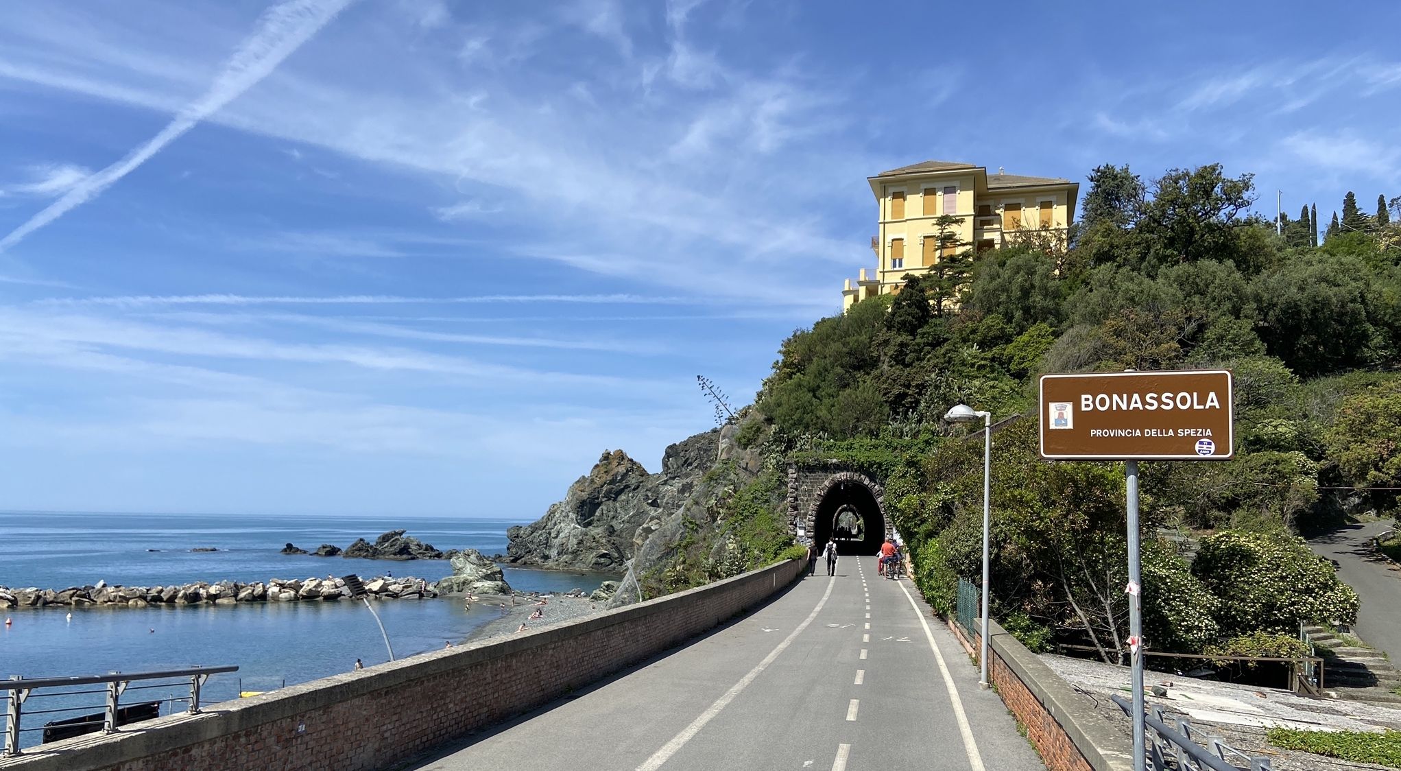
Pedalling to Portofino and the Cinque Terre — sea and mountains
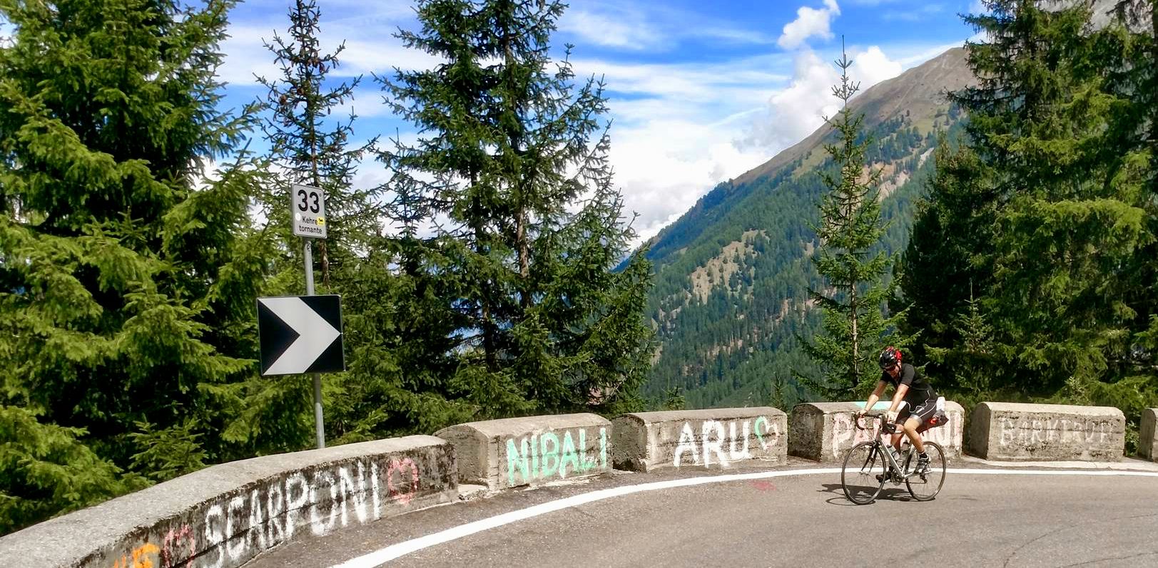
From the mountains to the sea — road cycling in Northern Italy
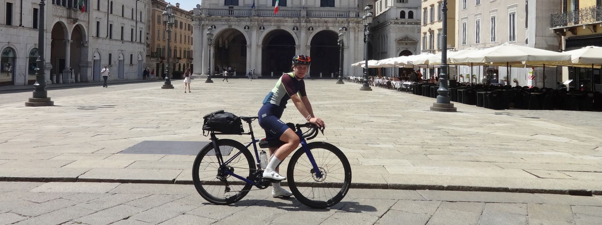
The Pizza Pilgrimage – Milan to Naples, fuelled by pizza
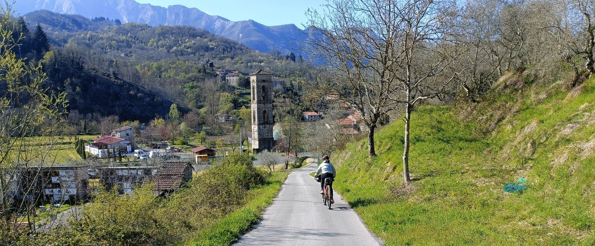
Mediaeval villages and sublime nature – Lunigiana Gravel
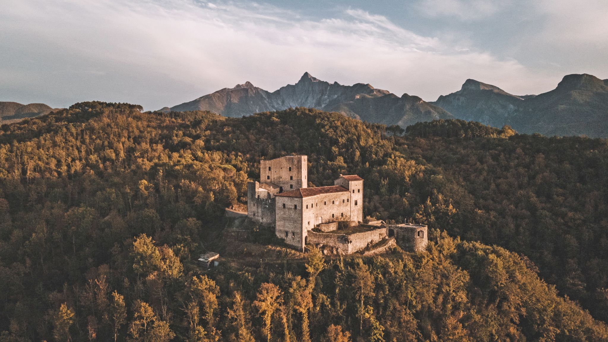
Through history between Lunigiana and Garfagnana – Via del Volto Santo by MTB
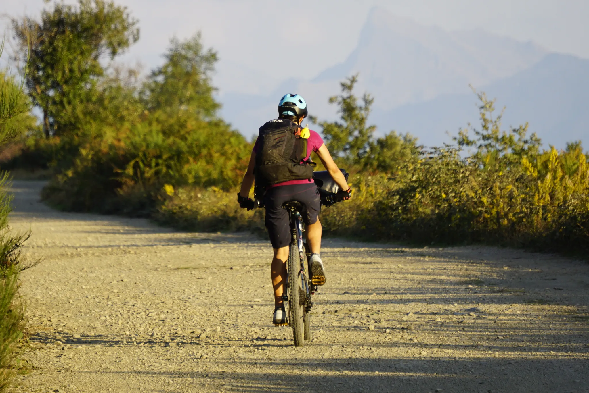
The land of 100 castles – Lunigiana Trail MTB
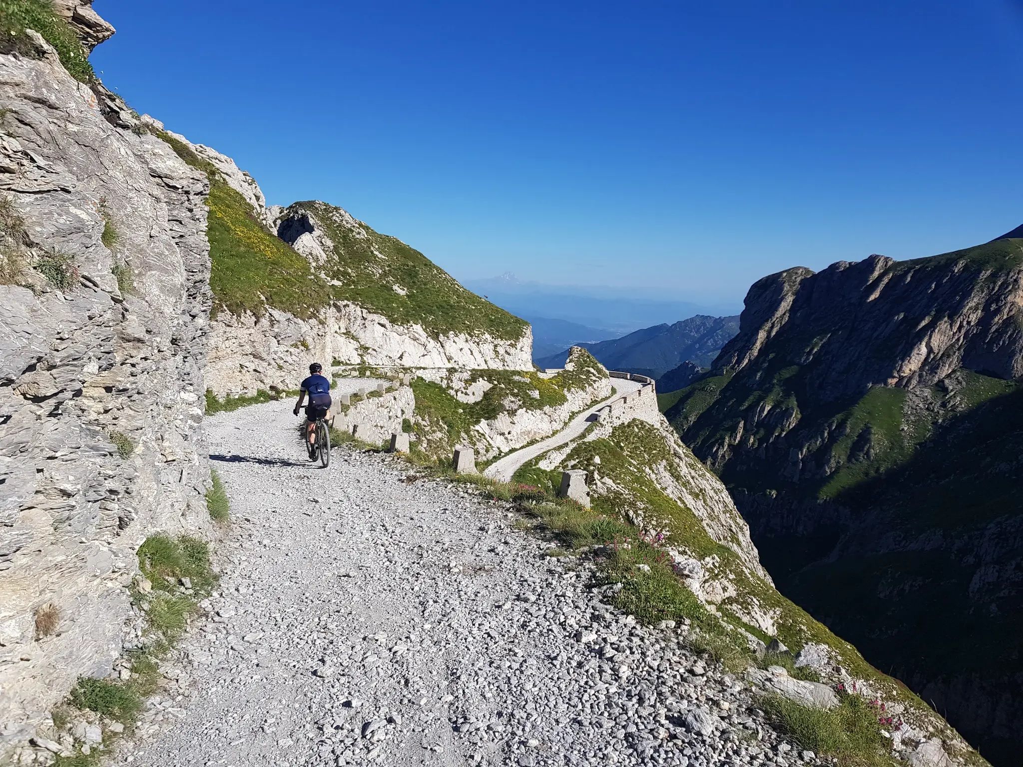
From the boot’s toe to the heel – the most beautiful cycling Tours in Italy
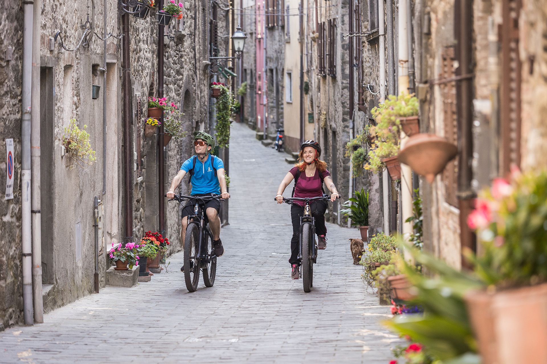
Tuscany by bike — nine Tours for every taste
Hiking around Pontremoli
MTB Trails around Pontremoli
Other adventures around Pontremoli


Tips from the Community

Last stretch to get to Tavola quite steep. Very scenic forest road.
0
0
Beautiful place, if you want to reach the refuge by car, arm yourself with patience, the last stretch is unpaved (great for cycling)
0
0

Area equipped for bicycles and with 2 large wooden tables for picnics, as well as a fountain with good, drinkable water. There are also two information panels.
0
0
Wonderful and extensive meadows, very flowery in the pre-summer period below the Tuscan-Emilian ridge, ideal for an outdoor walk or a picnic.
0
0
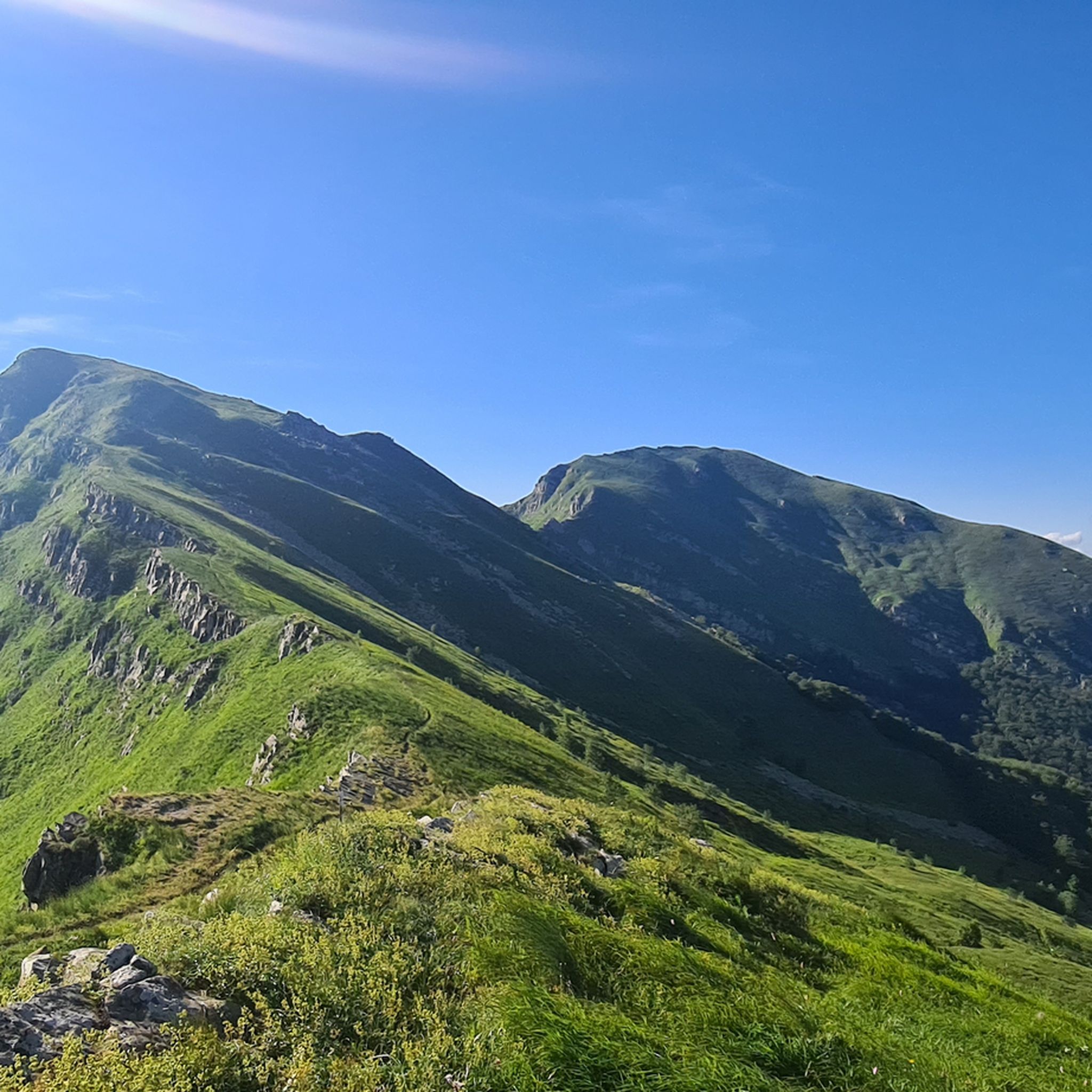
View over a large part of the Tuscan-Emilian ridge, which ranges from Monte Braiola to Monte Aquila, with Monte Marmagna in the center, whose large summit cross is also visible to the naked eye.
0
0

A great place for a break. There's water, bike maintenance equipment, and a truly stunning view.
0
0
They're reached after a good mountain bike ride. You'll enjoy a beautiful view and can quench your thirst with fresh water from one of the two fountains.
0
0

We leave the asphalt and begin this long, winding gravel path that seems to never end.
1
0
Frequently Asked Questions
How many gravel bike trails are available around Pontremoli?
There are 15 gravel bike trails around Pontremoli, offering a variety of experiences for cyclists. The region is known for its diverse landscapes, from rolling hills to challenging mountain paths.
What is the general difficulty level of gravel biking routes in Pontremoli?
Most gravel biking routes around Pontremoli are rated as difficult, with 14 out of 15 trails falling into this category. These routes often feature significant elevation changes and varied terrain, including demanding ascents and descents through areas like the Apuan Alps. For example, the Passo Alpicella (710 m) – Alta Via dei Monti Liguri loop from Villafranca-Bagnone covers 84.7 km with over 1900 meters of elevation gain.
What kind of terrain can I expect on the gravel trails in Pontremoli?
The terrain around Pontremoli is incredibly diverse. You'll encounter ancient, agile roads connecting medieval villages, more rugged sections with demanding ascents and descents in the Apuan Alps, and solitary, wild environments climbing to the Ligurian Apennines' ridge. While mostly unpaved, some sections can be rough, so appropriate tires (40mm or wider tubeless) are recommended.
Are there any notable landmarks or natural features to see along the gravel routes?
Absolutely. The region is rich in both natural beauty and historical sites. You can ride past numerous medieval villages and castles. Natural highlights include the confluence of the Magra River and Verde Stream within Pontremoli, and the extraordinary Passo della Cisa, a popular Apennine pass. The Giovanni Mariotti Mountain Hut at Lago Santo is another scenic spot you might encounter.
What do other gravel bikers say about the trails in Pontremoli?
The gravel biking routes in Pontremoli are highly regarded by the komoot community, holding an average rating of 5.0 stars from over 11 reviews. More than 160 gravel bikers have used komoot to explore the varied terrain, often praising the diverse topography and the blend of historical and natural scenery.
Are there any circular gravel routes available?
Yes, many routes are designed as loops. A prominent example is the Historic Center of Pontremoli – Prati di Logarghena loop from Pontremoli, which is 36.2 km long and takes about 2 hours 45 minutes to complete, leading through historical areas and natural scenery.
What is the best time of year to go gravel biking in Pontremoli?
The diverse topography means conditions can vary. Generally, spring and autumn offer pleasant temperatures for cycling. The southern part of the region, with its demanding ascents and descents through the Apuan Alps, might be more challenging in peak summer heat, while the Ligurian Apennines' ridge offers solitary, wild environments that are beautiful in milder weather.
Are there any routes that pass by huts or refuges?
Yes, some routes will take you near or past mountain huts. For instance, the Lagdei Hut – Fountain of Roncobuono loop from Corniglio is a difficult 50.2 km path that winds through forested areas and offers views of the Apennine landscape, with the Lagdei Hut being a notable point.
Are there options for longer, multi-day gravel biking adventures?
While individual routes vary in length, the region is home to longer itineraries like the Lunigiana Gravel route. This multi-stage, 210-kilometer circular itinerary begins in Pontremoli and traverses medieval villages and castles, showcasing a varied terrain that can be explored over several days. You can find more information about this broader route on Visit Tuscany.
Where can I find parking or public transport options for accessing the trails?
Pontremoli itself is a good starting point for many routes, and being a historical town, it offers various parking facilities. For routes starting further afield, such as the Passo Alpicella (710 m) – Beautiful view loop from Filattiera, checking local village amenities for parking is advisable. Pontremoli is also accessible by train, which can be a convenient option for reaching the area.
What kind of views can I expect while gravel biking in Pontremoli?
The region offers spectacular panoramic views. From the Ligurian Apennines' ridge, you can enjoy expansive vistas from the hinterland to the sea, with glimpses of Corsica on clear days. The Silara Pass and Brattello Pass also offer stunning mountain scenery.
Most popular routes around Pontremoli
Most popular attractions around Pontremoli

Get inspired with the komoot mobile app


Explore more
Browse the best Gravel rides in other regions.
