The best gravel rides around Aramengo
4.3
(26)
118
riders
31
rides
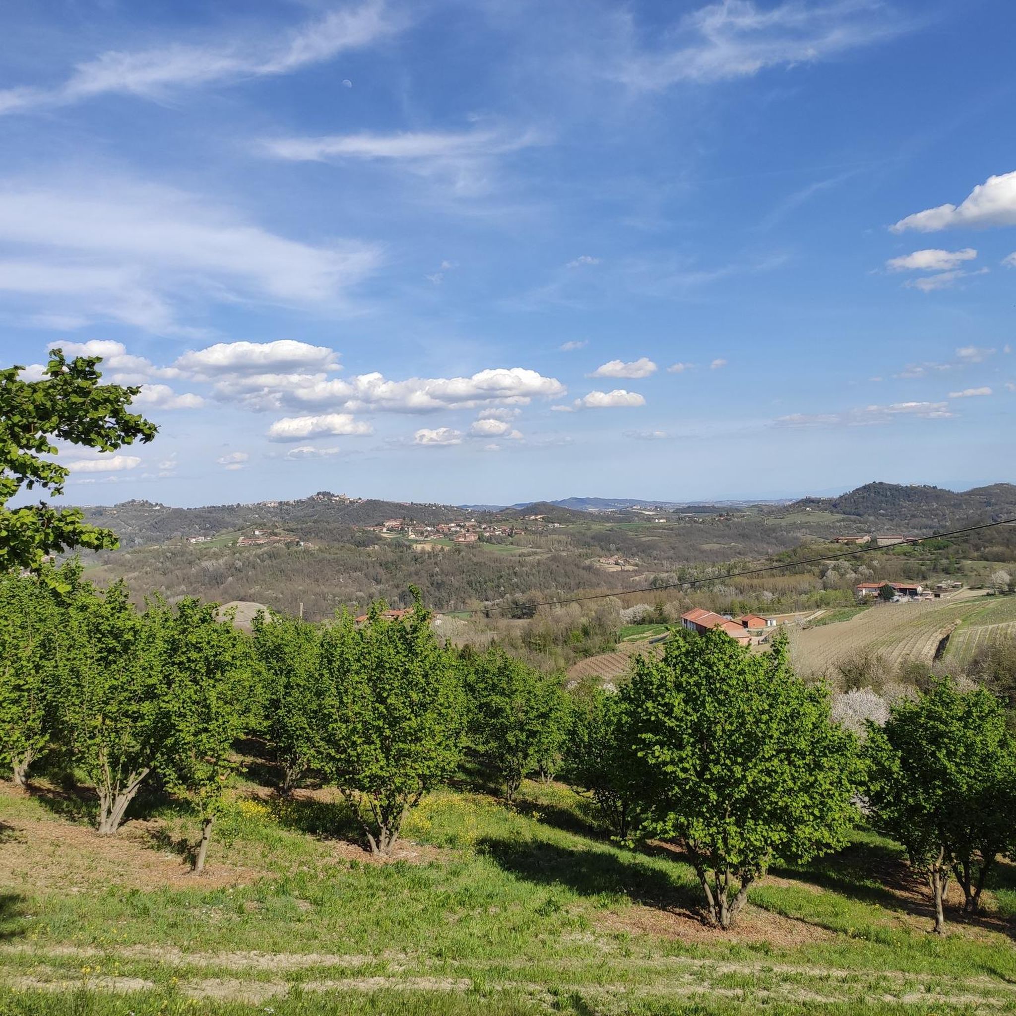
Gravel biking around Aramengo features a landscape characterized by rolling hills, river valleys, and expansive countryside trails. The region offers varied terrain, from challenging ascents to more gentle paths alongside natural features like lakes and rivers. Gravel bikers can expect a mix of unpaved roads, forest tracks, and scenic routes connecting small towns and historical sites. The area's topography provides diverse conditions suitable for different levels of gravel biking experience.
Best gravel bike trails around Aramengo
- The most popular gravel…
Last updated: October 21, 2026
4.7
(7)
21
riders
37.9km
03:00
690m
690m
Hard gravel ride. Very good fitness required. You may need to push your bike for some segments of this route.
4.0
(1)
17
riders
80.8km
05:38
1,120m
1,120m
Hard gravel ride. Very good fitness required. Mostly paved surfaces.

7
riders
Hard gravel ride. Very good fitness required. Mostly paved surfaces.
4.0
(1)
10
riders
79.3km
05:49
1,440m
1,440m
Hard gravel ride. Very good fitness required. Mostly paved surfaces.
4.0
(1)
11
riders
49.4km
03:15
450m
450m
Moderate gravel ride. Good fitness required. Mostly paved surfaces.
Get access to more routes and recommendations from other explorers.
Already have an account?
Our route recommendations are based on thousands of hikes, rides, and runs completed by other people on komoot.
Start today with a free account
Your next adventure awaits.
Tips from the Community

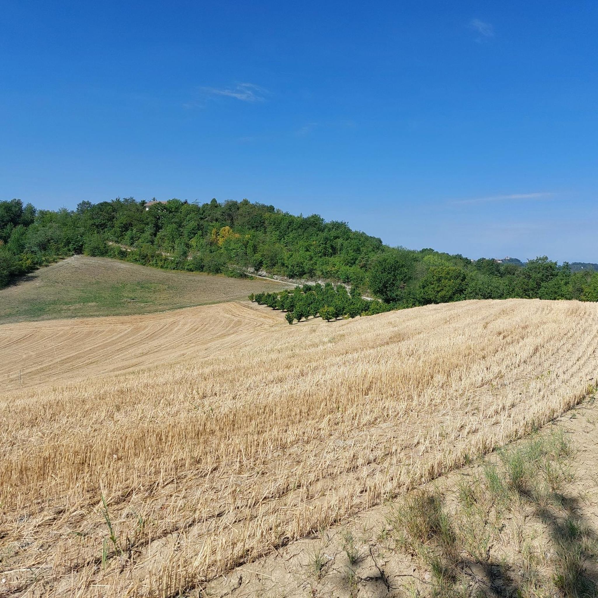
The church of Saints Nazario and Celso is a church located about two kilometers from Montechiaro d'Asti, in Piedmont, on the slopes of a green hill (the "Bric San Nazario"), surrounded by trees all around except for the facade. It is characterized by a tall bell tower and the chromatic effect given by the alternating bands of brick and sandstone. It constitutes an important testimony of the Romanesque architecture that developed in the 12th century in the Monferrato astigiano.
0
0

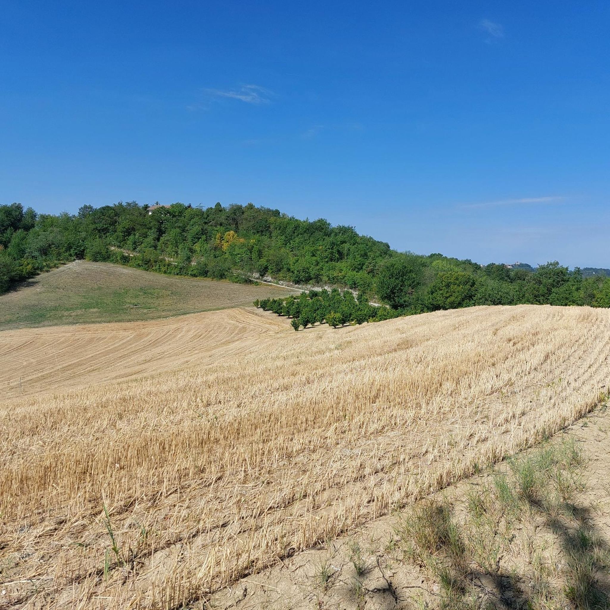
Verrua Savoia is a small municipality in Piedmont, in the metropolitan city of Turin, located in a hilly area overlooking the Po Valley. It is a quiet town, nestled among hills and rural landscapes, with a strong agricultural character and typical landscapes of the Lower Monferrato.
11
0

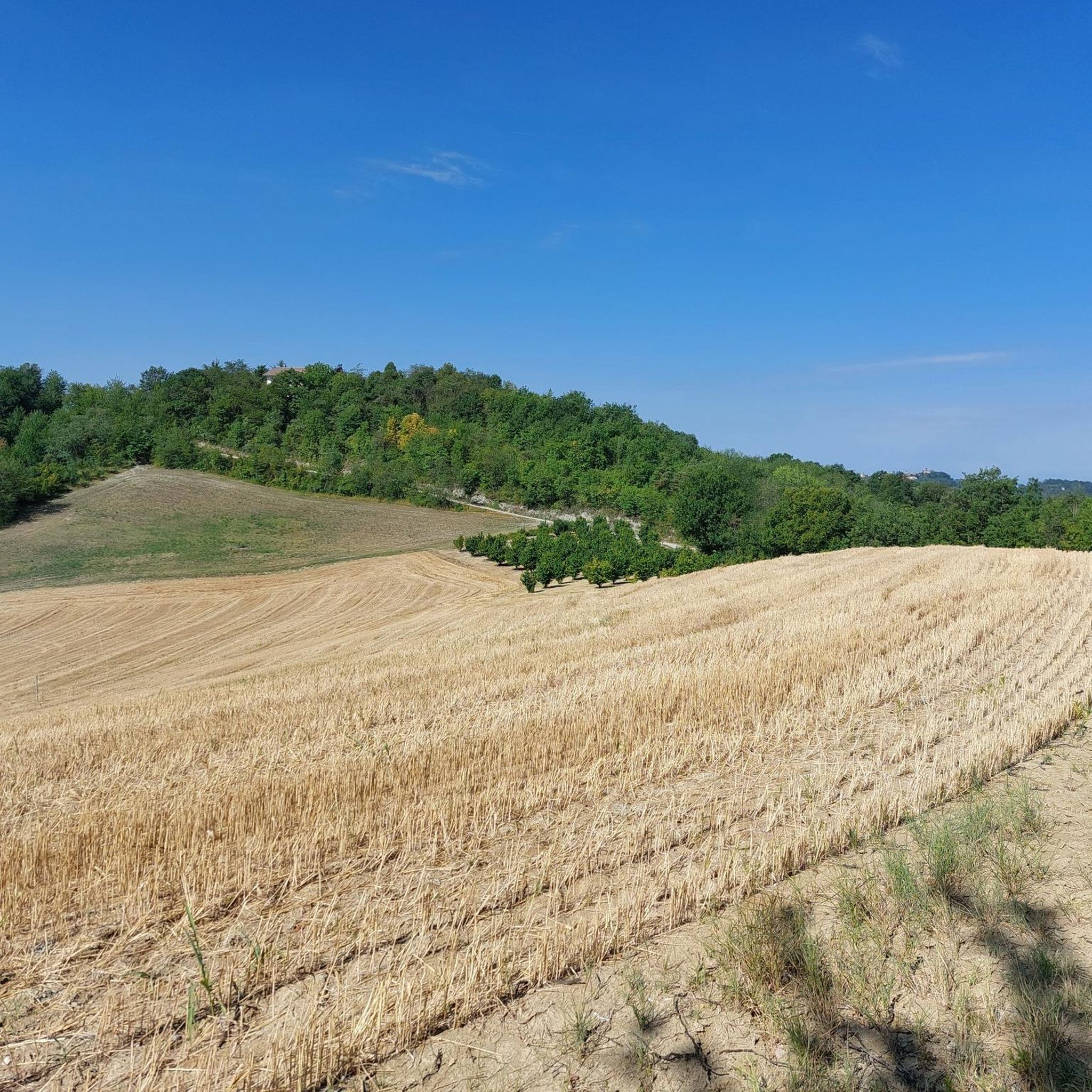
Located in a summit position, it dominates the town. Easy to reach, especially when arriving from the North.
0
0

There's always a beautiful view from the Giant Bench in Verrua. It's worth the effort to climb it and a few minutes sitting admiring the Alps.
2
0

there is a water fountain
0
0
A bike path connecting Chieri to Riva, offering beautiful views of the countryside and the Turin hills. Two drinking fountains are located along the route.
1
0

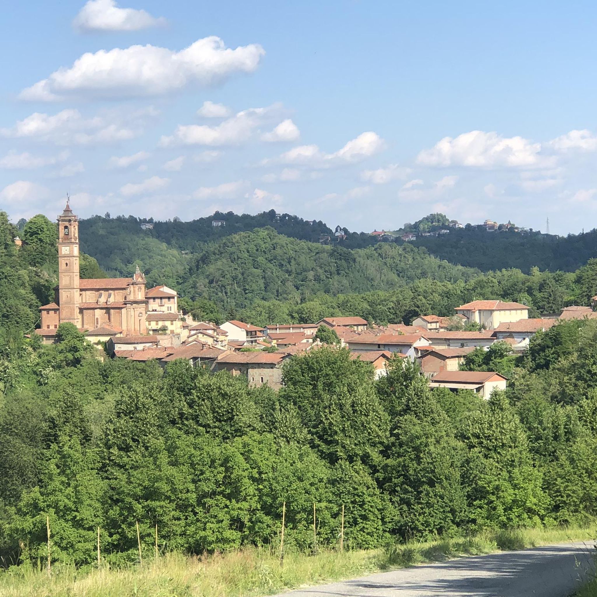
Moncucco Torinese, a little gem among the hills
0
0
The Ponte su Po di Crescentino is a work from another time. It has resisted dozens of floods of the river and is still there. Panoramically it is beautiful to walk along it on spring days when on the right you can see the snow-capped Alps and in front of you the Rocca di Verrua (another work from another time that deserves a more in-depth look)
1
0
Frequently Asked Questions
What is the overall difficulty level of gravel biking trails around Aramengo?
The gravel biking trails around Aramengo are predominantly challenging. Out of 31 routes, 25 are rated as difficult, while 6 are considered moderate. This indicates that most trails feature significant elevation changes and varied terrain, suitable for experienced gravel bikers.
Are there any family-friendly gravel biking options in Aramengo?
While many routes around Aramengo are rated as difficult, the region's landscape of rolling hills and countryside offers potential for more gentle paths. For a moderate option, consider the Giant Bench – Torre Astense loop from Piedmont, which covers 26.5 miles (42.7 km) with less elevation gain compared to other routes. Always check the specific route details to ensure it matches your family's skill level.
What kind of scenery can I expect on gravel bike trails near Aramengo?
Gravel biking around Aramengo offers diverse scenery, including rolling hills, river valleys, and expansive countryside. You'll encounter a mix of unpaved roads, forest tracks, and routes connecting small towns. Some trails also pass by natural features like lakes and historical sites, providing a rich visual experience.
What are some notable landmarks or attractions I can see along the gravel routes?
Many gravel routes in the Aramengo area pass by interesting landmarks. For instance, the Lake Arignano – Moncucco Castle loop from Piedmont takes you past a lake and the historic Moncucco Torinese Castle and Historic Center. Other highlights in the region include the Canonica of Saint Mary of Vezzolano and the Big Bench at Cascina del Bric.
What is the best time of year to go gravel biking in Aramengo?
The best time for gravel biking in Aramengo is typically during spring and autumn when the weather is mild and the scenery is vibrant. Summer can be quite warm, especially in the valleys, while winter might bring colder temperatures and potentially snow at higher elevations, making some routes less accessible.
Are there any long-distance gravel loops for advanced riders?
Yes, advanced riders looking for longer distances will find several challenging options. The View of Cocconato – Moncalvo town centre loop from Cocconato is a difficult 50.3 miles (81.0 km) path offering panoramic views and connecting charming town centers. Another extensive route is the Pobietto Estate – Verrua Savoia Countryside View loop from Cavagnolo-Brusasco, spanning over 47 miles (76 km).
How many gravel bike trails are available in the Aramengo region?
There are over 30 gravel bike trails available in the Aramengo region, offering a wide range of options for different skill levels, though most are geared towards more experienced riders.
What do other gravel bikers enjoy most about the trails in Aramengo?
The gravel biking trails in Aramengo are highly rated by the komoot community, with an average score of 4.2 stars from more than 20 reviews. Riders often praise the varied terrain, the scenic countryside, and the challenging ascents that provide rewarding views. The routes connecting small towns and historical sites are also frequently highlighted.
Are there any gravel routes that follow rivers or offer waterside views?
Yes, some routes in the Aramengo area incorporate waterside elements. For example, the Po Riverside Cycle Path – Meisino Riverside Path loop from Sciolze offers extensive sections along the Po River, providing pleasant riverside views and a different kind of terrain.
Is public transport available to access the gravel trails around Aramengo?
While specific public transport links directly to trailheads might be limited in this rural area, major towns near Aramengo may offer bus services. It's generally recommended to check local transport schedules for connections to larger villages or starting points, or consider driving to a suitable parking spot near your chosen route.
Where can I find parking when gravel biking in Aramengo?
Parking availability will vary depending on your chosen starting point. Many routes begin or pass through small towns and villages where public parking might be available. For specific routes, it's advisable to check the tour details on komoot or use a mapping app to identify suitable parking areas near the trailhead.
Most popular attractions around Aramengo

Get inspired with the komoot mobile app


Explore more
Browse the best Gravel rides in other regions.
