The best gravel rides around Somma Lombardo
4.4
(244)
1,931
riders
85
rides
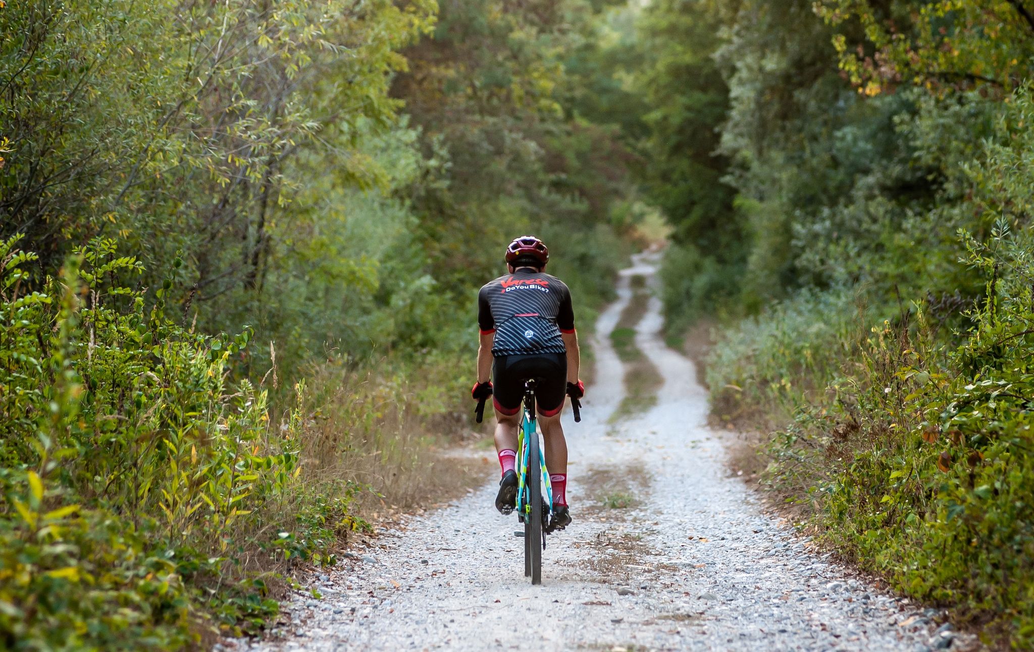
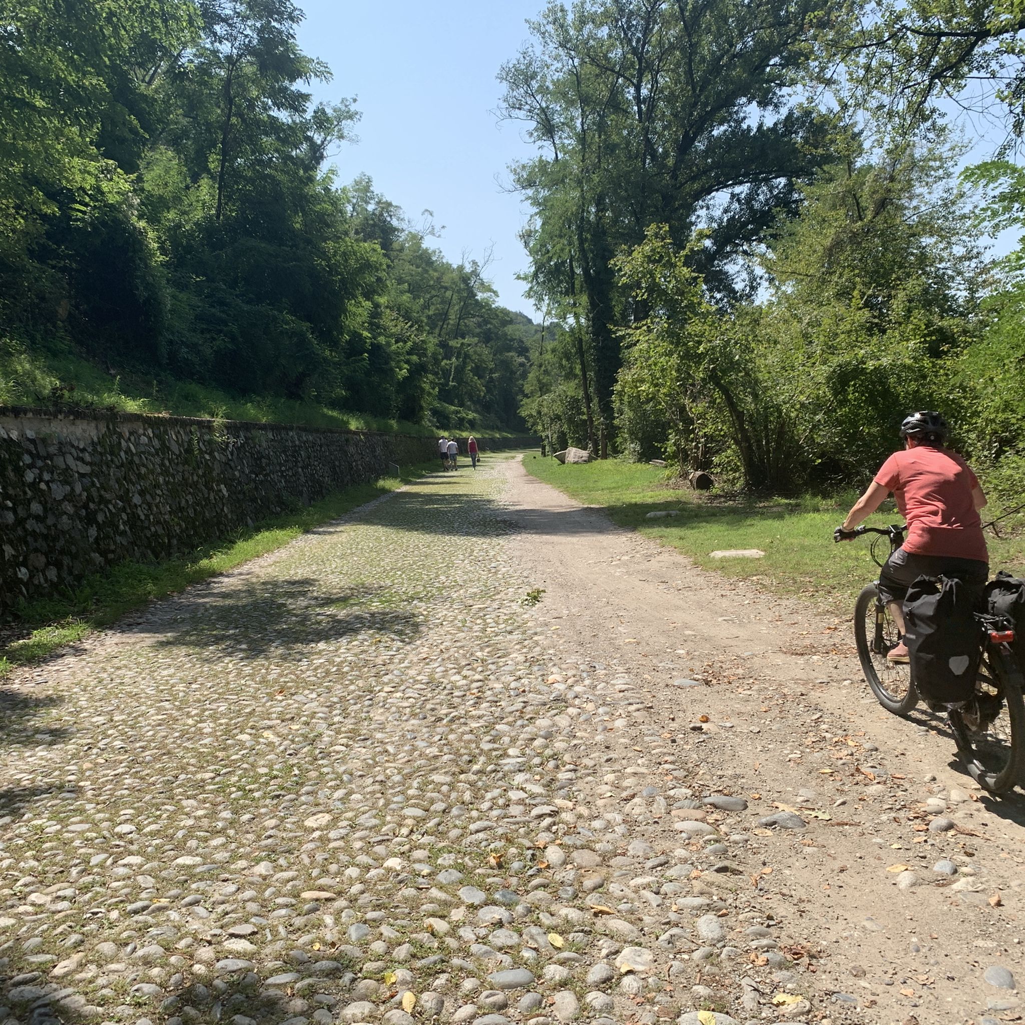
Gravel biking around Somma Lombardo features routes that traverse the plains of the Ticino River valley, offering a mix of canal paths and forested sections. The terrain is generally flat to gently rolling, with some routes incorporating minor ascents. This area provides access to a network of trails suitable for various gravel biking experiences, from leisurely rides along waterways to longer, more challenging routes.
Best gravel bike trails around Somma Lombardo
- The most popular gravel bike trail is Visconti castles…
Last updated: October 12, 2026
4.2
(6)
29
riders
48.9km
04:42
420m
420m
Moderate gravel ride. Good fitness required. Some segments of this route may be unpaved and difficult to ride.
4.5
(8)
152
riders
Hard gravel ride. Very good fitness required. You may need to push your bike for some segments of this route.

4.2
(6)
27
riders
45.5km
03:08
420m
420m
Moderate gravel ride. Good fitness required. Mostly paved surfaces. Suitable for all skill levels.
4.6
(33)
181
riders
93.5km
05:17
360m
360m
Hard gravel ride. Very good fitness required. Mostly paved surfaces. Suitable for all skill levels.
4.0
(4)
13
riders
Hard gravel ride. Very good fitness required. Mostly paved surfaces. Suitable for all skill levels.
Get access to more routes and recommendations from other explorers.
Already have an account?
Our route recommendations are based on thousands of hikes, rides, and runs completed by other people on komoot.
Start today with a free account
Your next adventure awaits.
Other adventures around Somma Lombardo

Tips from the Community

The Sesto Calende riverside walk winds along the banks of the Ticino river at the exact point where the waters of Lake Maggiore leave the basin to continue their course.
0
0
The Ticino river cycle path offers one of the most evocative panoramic points to admire Sesto Calende, the river waters, and the majestic Monte Rosa chain in the background
0
0

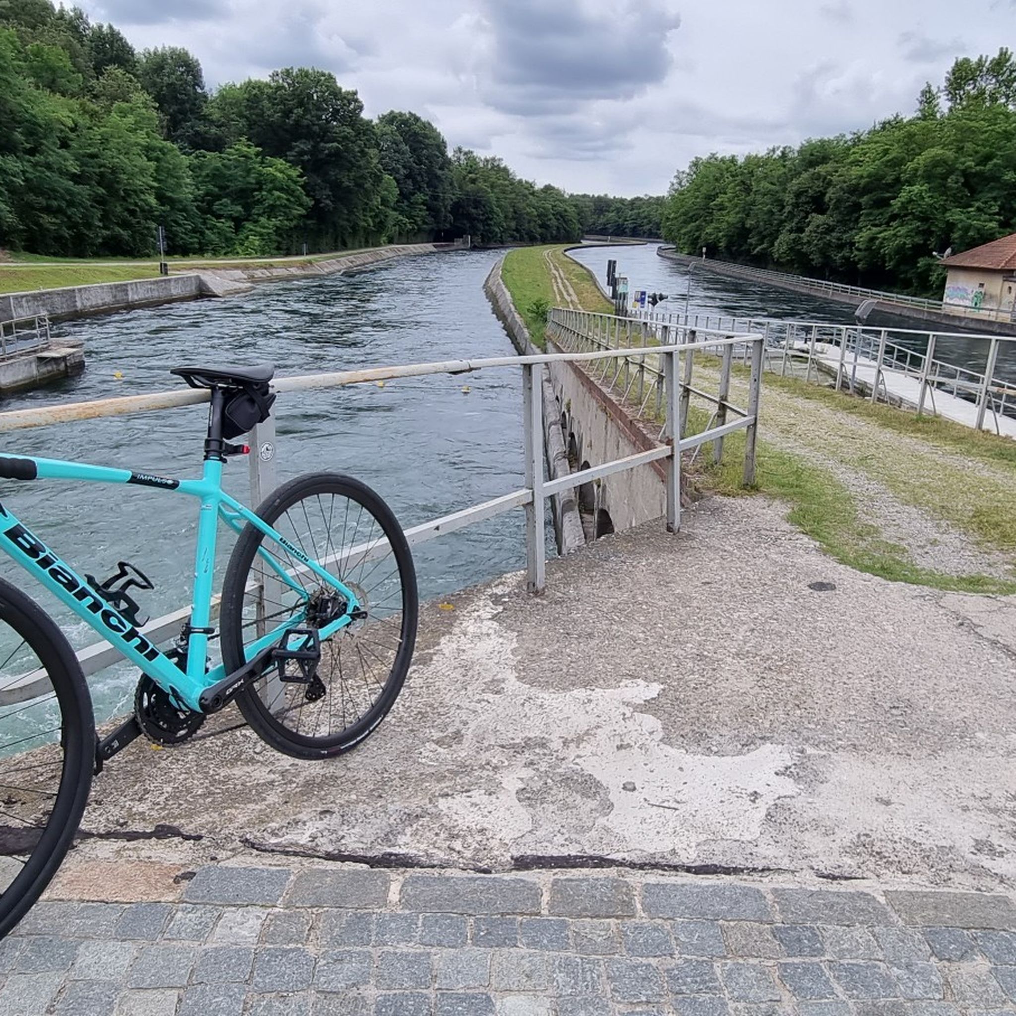
The Villoresi Canal towpath connects Arese and the nearby municipalities via cycle paths and service roads, offering a convenient cycle-pedestrian route along the artificial canal that connects the Ticino and Adda rivers.
0
0
The Strada Alzaia Canale Villoresi is a service road of about 85-90 km that runs along the canal from Somma Lombardo (VA) to Cassano d'Adda (MI), managed by the Consorzio Est Ticino Villoresi. Although widely used by cyclists and walkers, it is not a proper cycle path but a road for mixed use and maintenance.
0
0
The Strada Alzaia Canale Villoresi is a service road of about 85-90 km that runs along the canal from Somma Lombardo (VA) to Cassano d'Adda (MI), managed by the Consorzio Est Ticino Villoresi. Although it is widely used by cyclists and walkers, it is not a real cycle path but a road for mixed use and maintenance.
0
0
The Strada Alzaia Canale Villoresi in the territory of Arconate is one of the most appreciated and frequented sections of the homonymous cycle path in western Lombardy. This specific segment offers an ideal escape into nature for cyclists, runners, and families.
0
0
The Naviglio Grande in Turbigo represents the operational starting point of the oldest navigable canal in Europe. Although the waters are historically diverted from the Ticino river at Tornavento, it is precisely in Turbigo that the watercourse becomes the continuation of the Industrial Canal and enters the heart of its 50-kilometer route towards the Darsena of Milan.
0
0
Frequently Asked Questions
How many gravel bike trails are available around Somma Lombardo?
There are over 110 gravel bike routes in the Somma Lombardo area. These include a diverse range of options, with 7 routes classified as easy, 74 as moderate, and 32 as difficult, catering to various skill levels and preferences.
Are there easy gravel bike trails suitable for beginners or families?
Yes, Somma Lombardo offers several easy gravel bike trails perfect for beginners or family outings. These routes typically follow the flat terrain of the Ticino River valley and canal paths, providing a relaxed riding experience. While specific easy routes are not detailed here, you can find 7 easy routes on komoot.
What is the typical length of gravel bike trails near Somma Lombardo?
The gravel bike trails around Somma Lombardo vary significantly in length. For instance, the Visconti castles Tour is about 30.4 miles (48.9 km), while the Towpath of the Villoresi Canal extends to 58.1 miles (93.5 km). You'll find options ranging from shorter loops to longer, more challenging rides.
Are there any circular gravel bike routes in the area?
Yes, many gravel bike routes around Somma Lombardo are designed as loops, allowing you to start and end in the same location. A popular example is the Valle del Boia Trail – Trail in the Boia Valley loop from Somma Lombardo, which offers a moderate 28.1-mile (45.1 km) ride through natural scenery.
What kind of natural sights or landmarks can I expect to see along the gravel trails?
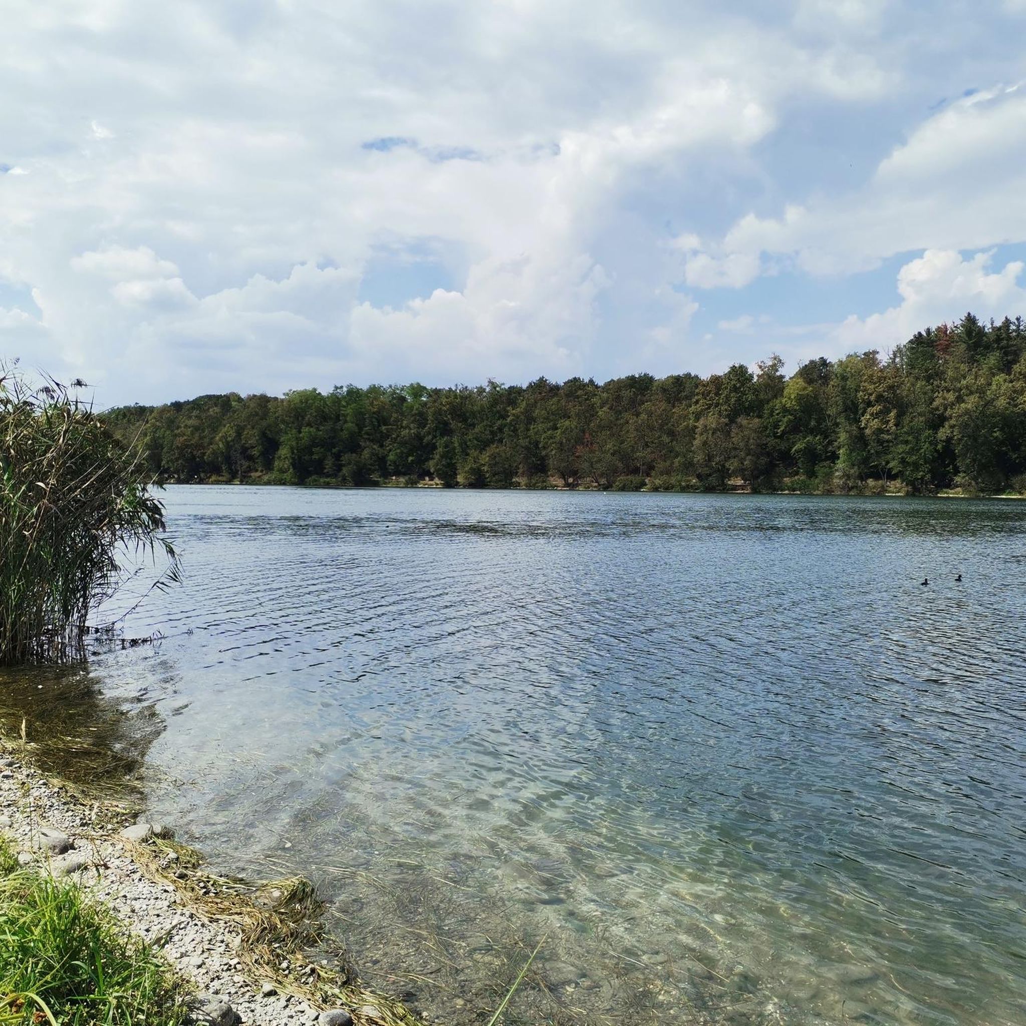
The gravel trails often traverse the scenic Ticino River valley, offering views of waterways and forested sections. You might encounter historical structures like the Panperduto Dam or the Church of Saint Mary in Binda. Some routes, like the Angera Lakeside Promenade, even offer views of Lake Maggiore.
Are there any routes that offer good viewpoints or scenic overlooks?
While the region is generally flat, routes along the Ticino River and canals provide open vistas. For specific viewpoints, consider trails that pass near highlights such as the Iron Bridge Over the Villoresi Canal, which offers a unique perspective over the waterway, or the Regina Elena Canal route with views over vineyards.
What is the best time of year for gravel biking in Somma Lombardo?
The best time for gravel biking in Somma Lombardo is typically during spring and autumn when temperatures are mild and the natural scenery is vibrant. Summer can also be pleasant, especially along shaded river and canal paths, but be prepared for warmer weather. Winter riding is possible, though some paths might be muddy after rain.
Is there public transport access to the gravel trails in Somma Lombardo?
Somma Lombardo is well-connected by public transport, including a train station. Many routes are accessible directly from the town, making it convenient to reach the starting points without a car. Check local train and bus schedules for specific connections to trailheads.
What do other gravel bikers enjoy most about gravel biking in Somma Lombardo?
The area is highly rated by the komoot community, with an average score of 4.5 stars from over 240 reviews. Reviewers often praise the diverse terrain, from peaceful canal paths to forested sections, and the opportunity to explore historical areas. The well-maintained network of trails and the variety of routes for different skill levels are also frequently highlighted.
Are there any cafes or refreshment stops along the gravel routes?
Many routes in the Somma Lombardo area pass through or near small towns and villages where you can find cafes, restaurants, and shops for refreshments. While specific stops aren't listed for every trail, planning your route with komoot allows you to identify potential stops along the way.
Can I download GPX files for gravel bike routes in Somma Lombardo?
Yes, all routes available on komoot, including those around Somma Lombardo, can be downloaded as GPX files. This allows you to navigate offline using your GPS device or smartphone, ensuring you stay on track throughout your ride.
Most popular routes around Somma Lombardo
Most popular attractions around Somma Lombardo

Get inspired with the komoot mobile app


Explore more
Browse the best Gravel rides in other regions.
