The best gravel rides around Salbertrand
4.7
(28)
552
riders
26
rides
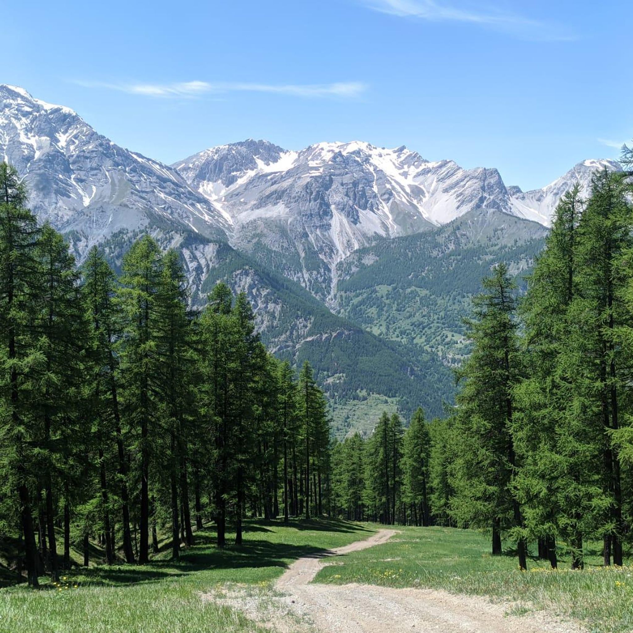
Gravel biking around Salbertrand features challenging routes through the mountainous terrain of the Italian Alps. The region is characterized by high mountain passes, historic military roads, and significant elevation gains. These routes often traverse alpine landscapes, offering demanding climbs and descents suitable for experienced gravel cyclists.
Best gravel bike trails around Salbertrand
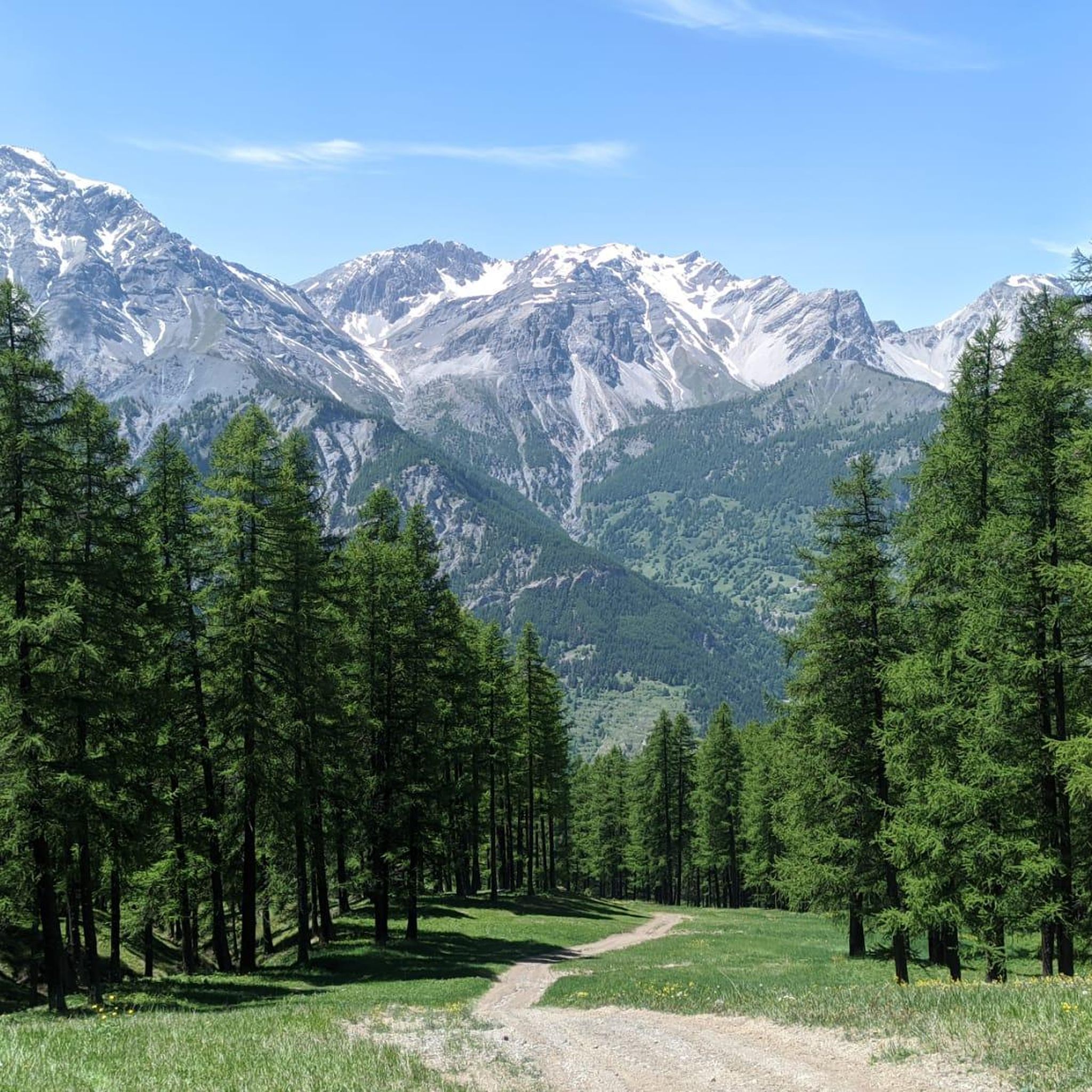
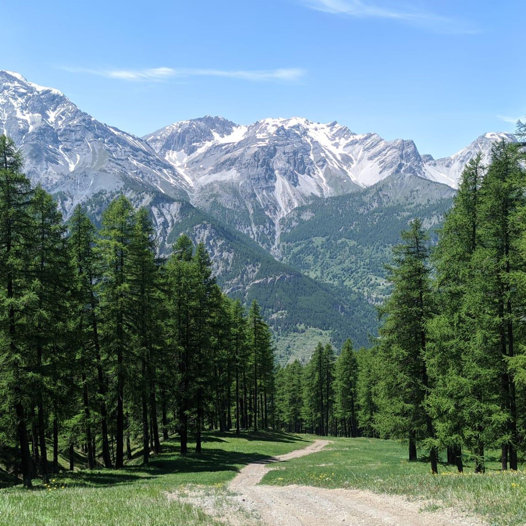
- The most popular gravel bike trail is Blegier Pass – Strada dell'Assietta loop from Sauze d'Oulx, a 23.8 miles (38.3 km) trail that takes 3 hours 37 minutes to complete. This difficult route navigates historic military roads and high mountain passes.
- Another top favourite among local gravel bikers is Forte Bramafam – Bardonecchia loop from Sauze d'Oulx, a difficult 24.2 miles (38.9 km) path. This route explores areas around historic fortifications and offers varied alpine scenery.
- Local gravel bikers also love the Forte Bramafam – Névache loop from Oulx - Cesana - Claviere - Sestriere, a 36.5 miles (58.8 km) trail leading through high alpine terrain, often completed in about 4 hours 30 minutes.
- Gravel biking around Salbertrand is defined by high mountain passes, historic military roads, and significant elevation changes. The routes in this area are primarily challenging, catering to advanced gravel bike riders.
- The routes in Salbertrand are highly rated by the komoot community with an average score of 4.6 stars from over 10 reviews. More than 200 gravel bikers have used komoot to explore Salbertrand's varied terrain.
Last updated: July 18, 2026
5.0
(5)
129
riders
94.3km
07:59
3,120m
3,120m
Hard gravel ride. Very good fitness required. Mostly paved surfaces. Suitable for all skill levels.
4.3
(4)
56
riders
38.3km
03:38
1,350m
1,350m
Hard gravel ride. Very good fitness required. Mostly paved surfaces. Suitable for all skill levels.

Sign up for free
5.0
(1)
36
riders
73.0km
05:44
1,880m
1,880m
Hard gravel ride. Very good fitness required. Mostly paved surfaces. Suitable for all skill levels.
5.0
(1)
34
riders
105km
09:17
3,460m
3,450m
Hard gravel ride. Very good fitness required. Mostly paved surfaces. Suitable for all skill levels.
4.8
(5)
43
riders
38.9km
03:12
910m
910m
Hard gravel ride. Very good fitness required. Mostly paved surfaces. Suitable for all skill levels.
Get access to more routes and recommendations from other explorers.
Sign up for free
Already have an account?
Our route recommendations are based on thousands of hikes, rides, and runs completed by other people on komoot.
Start today with a free account
Your next adventure awaits.
Login or Signup


Other adventures around Salbertrand

Tips from the Community

The fortification was erected between 1885 and 1894, with the aim of monitoring the outlet of the Frejus railway tunnel in anticipation of a possible French attack. During the First World War, its artillery was requisitioned and moved to the Austro-Hungarian front, while on the eve of the Second World War, it was incorporated into the fortified system of the Alpine Wall. It was then requisitioned by the Germans and completely dismantled after the end of hostilities. It remained abandoned for a long time, until, starting in 1995, a recovery project was initiated, still partly ongoing, equipping the structure with a museum and a guided tour. The road that reaches it from the valley floor is yet another demonstration of the construction skills of military engineering: the dirt road gains altitude with gentle hairpin bends, bordered by dry stone walls that are still perfectly in place. Near Grange Bersac, it passes a charming little church, shortly after the route leaves the woods and ends in wide meadows near another beautiful little church, dedicated to St. Anne. From here, the dirt road splits: straight ahead leads to Pian del Sole and the Bardonecchia MTB circuit, while climbing towards Colomion, turning right, a final short climb reaches the fort. The view of Guglia Rossa and the Re Magi (Three Wise Men) group, which dominate the Bardonecchia basin, is magnificent.
0
0

one of the many hills along the military road
0
0

Spectacular setting at high altitude to do at least once
0
0

You reach Genevris via the Asietta road
0
0

A very beautiful stretch to cycle which leads from the basins to the road to the Scarfiotti refuge and then to the Sommeiller pass.
1
0

Passage point opposite the Exilles fort, with a beautiful view of the flank.
0
0

I'd been dreaming of being there for a long time, and I finally made it. It's a simply wonderful place. Words needn't be written. I climbed to the pass on its eastern slope, the one that starts from Pian dell'Alpe, and previously climbed Colle delle Finestre from Susa. Combining the two sections, I can assure you it's one of the toughest climbs I've ever done, but also one of the most beautiful. The section from Pian dell'Alpe to Colle della Assietta is divided into three parts: the first 4 kilometers of a steady climb at 6-7% gradient, the 2-kilometer intermediate rest stop, and the final 4 kilometers with steeper gradients and a worse track condition. I wholeheartedly invite you all to enjoy this wonderful place.
1
0

Road with never extreme gradients, I recommend doing it on Wednesday or Saturday as it is closed to motorized traffic
0
0
Frequently Asked Questions
What is the overall difficulty level of gravel biking trails around Salbertrand?
Gravel biking around Salbertrand is primarily challenging, catering to experienced riders. The region is characterized by high mountain passes, historic military roads, and significant elevation gains, making most routes difficult.
Are there any long-distance gravel bike routes in the Salbertrand area?
Yes, Salbertrand offers several long-distance routes. For example, the Col Basset – Col Basset (Sestriere) loop from Sauze d'Oulx covers over 70 km, and the Forte Bramafam – Névache loop from Oulx - Cesana - Claviere - Sestriere is nearly 60 km, both traversing high alpine terrain.
What kind of terrain can I expect on gravel bike trails in Salbertrand?
You can expect varied alpine scenery, including historic military roads, high mountain passes, and areas around historic fortifications. The routes involve demanding climbs and descents through mountainous terrain.
What is the best time of year for gravel biking in Salbertrand?
Given the high mountain passes and alpine landscapes, the best time for gravel biking in Salbertrand is typically from late spring to early autumn (June to September) when snow has melted and weather conditions are more stable. Always check local forecasts before heading out.
What are the winter conditions like for gravel biking in Salbertrand?
Winter conditions in Salbertrand, being in the Italian Alps, involve significant snow and ice, especially at higher elevations. Many routes may be impassable or require specialized winter equipment and experience. It's generally not recommended for gravel biking during deep winter months.
Are there any circular gravel bike routes available in Salbertrand?
Yes, many of the routes in Salbertrand are designed as loops. Examples include the Blegier Pass – Strada dell'Assietta loop from Sauze d'Oulx and the Forte Bramafam – Bardonecchia loop from Sauze d'Oulx, both offering comprehensive tours of the area.
What kind of gear should I bring for gravel biking in Salbertrand?
Given the challenging terrain, significant elevation changes, and remote sections, it's essential to bring a well-maintained gravel bike, appropriate protective gear, sufficient water and nutrition, navigation tools, and repair kits. Layered clothing is also advisable due to changing mountain weather.
What do other gravel bikers say about the trails in Salbertrand?
The routes in Salbertrand are highly rated by the komoot community, with an average score of 4.6 stars from over 10 reviews. More than 200 gravel bikers have used komoot to explore the varied and challenging terrain, often praising the historic military roads and alpine views.
Are there any scenic routes with particularly good views?
Absolutely. Routes like the Pierremenaud – Madonna del Cotolivier Chapel loop from Oulx - Cesana - Claviere - Sestriere offer stunning vistas, especially from higher elevations and mountain passes. The entire region is known for its dramatic alpine landscapes.
What are some interesting places or landmarks to see near the gravel bike trails?
The Salbertrand area is rich in natural beauty and historical sites. You can explore highlights such as Rochemolles Lake and Dam, the historic Strada dell'Assietta and Colle dell'Assietta, or the Forte Föens. There are also several mountain huts like Assietta Refuge.
How many gravel bike trails are available in the Salbertrand region?
There are over 20 gravel bike trails available around Salbertrand, all categorized as difficult, offering a wide range of challenging experiences for advanced riders.
Most popular routes around Salbertrand
Most popular attractions around Salbertrand

Get inspired with the komoot mobile app


Explore more
Browse the best Gravel rides in other regions.
