The best gravel rides around Usseglio
4.6
(69)
794
riders
17
rides
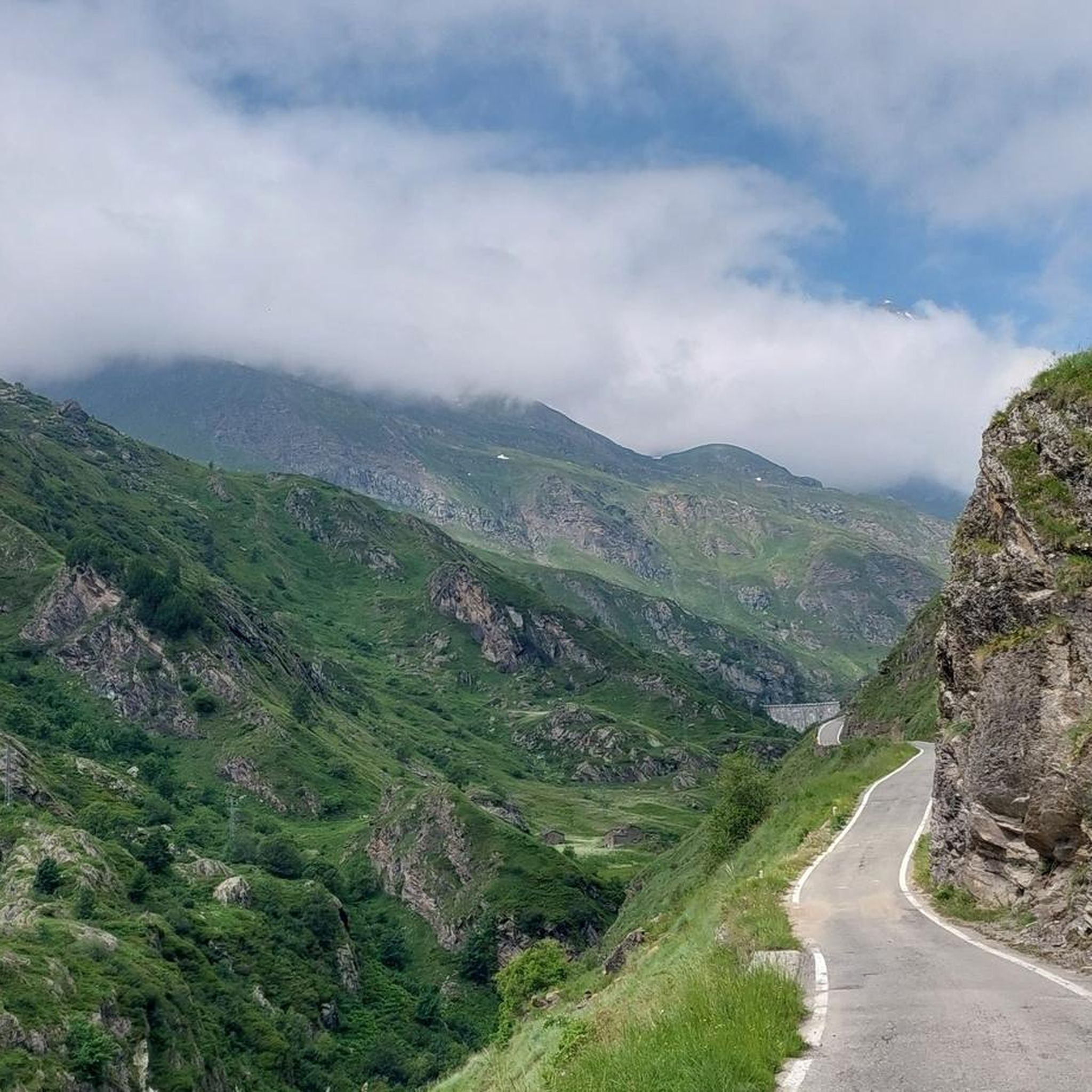
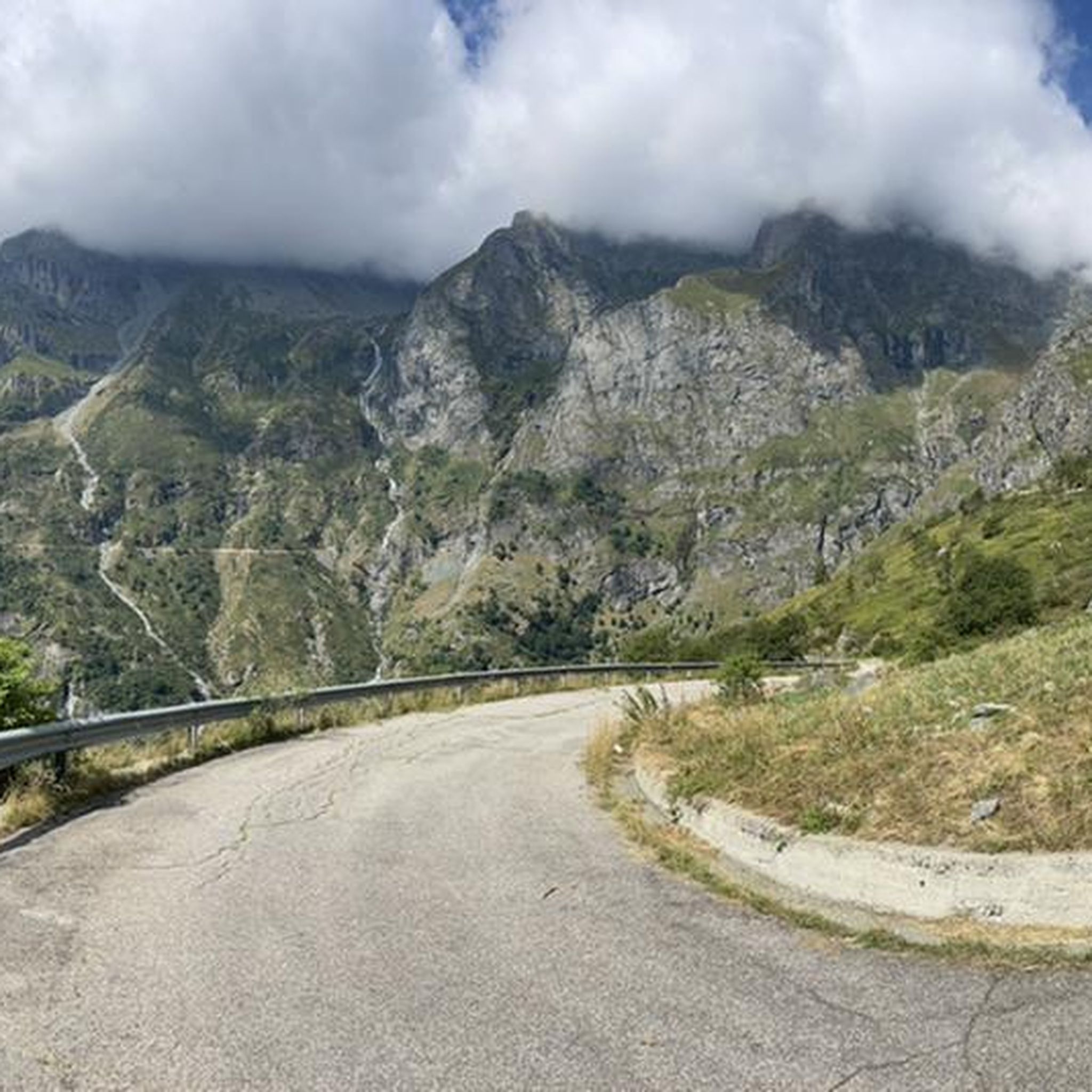
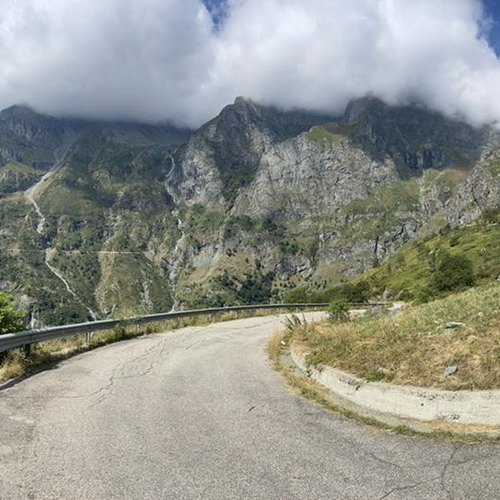
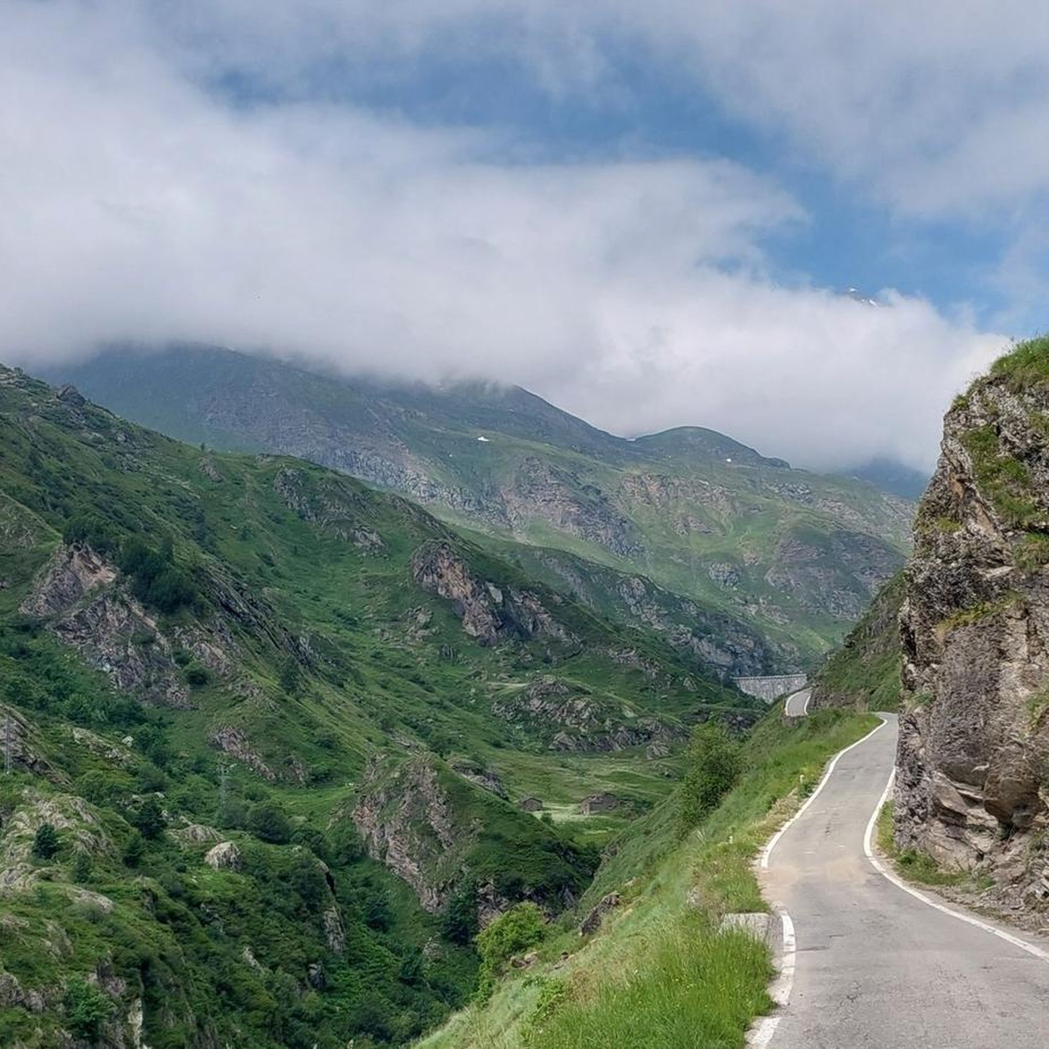
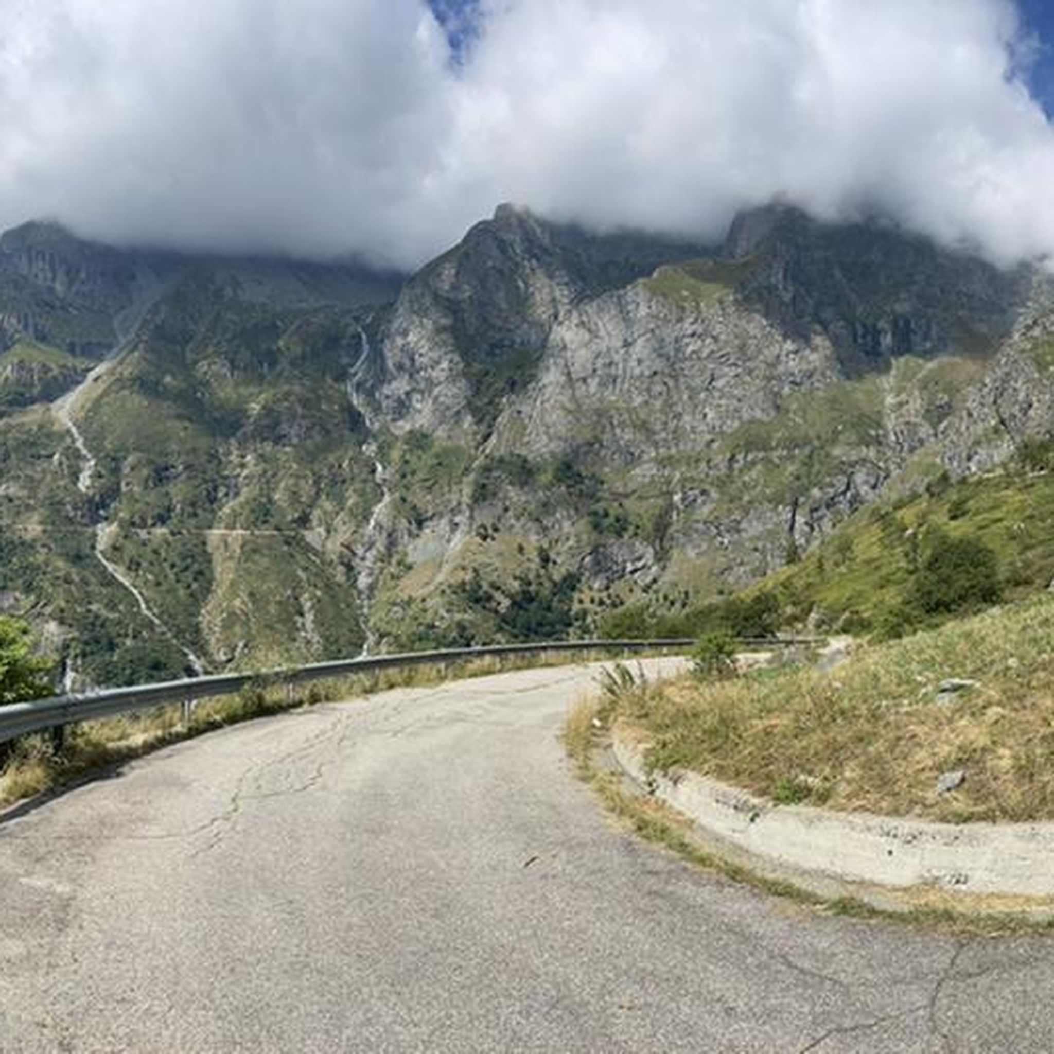
Gravel biking around Usseglio, situated at 1200 meters above sea level in Italy's Valle di Viù, offers diverse terrain for cyclists. The region features a large plateau, dense beech woods, and mountains, with several peaks exceeding 3000 meters. Natural features like the Stura stream and Malciaussià Lake contribute to varied route options. This landscape provides a mix of shaded forest paths, open rolling terrain, and challenging climbs.
Best gravel bike trails around Usseglio
- The most popular gravel bike trail is…
Last updated: July 5, 2026
5.0
(6)
73
riders
74.1km
08:04
2,500m
2,500m
Hard gravel ride. Very good fitness required. Mostly paved surfaces. Suitable for all skill levels.
4.5
(15)
194
riders
58.9km
03:17
410m
410m
Moderate gravel ride. Good fitness required. Mostly paved surfaces. Suitable for all skill levels.

Sign up for free
5.0
(1)
23
riders
63.5km
05:46
2,560m
2,560m
Hard gravel ride. Very good fitness required. Mostly paved surfaces. Suitable for all skill levels.
4.6
(13)
141
riders
50.6km
04:14
1,780m
1,780m
Hard gravel ride. Very good fitness required. Mostly paved surfaces. Suitable for all skill levels.
4.7
(10)
94
riders
Hard gravel ride. Very good fitness required. Mostly paved surfaces. Suitable for all skill levels.
Get access to more routes and recommendations from other explorers.
Sign up for free
Already have an account?
Our route recommendations are based on thousands of hikes, rides, and runs completed by other people on komoot.
Start today with a free account
Your next adventure awaits.
Login or Signup


Other adventures around Usseglio

Tips from the Community

Simple route with several fountains and some shade, a beautiful landscape over the Susa Valley, also passing below San Michele....
0
0

Beautiful route surrounded by the splendid mountains of Val Susa with the supervision of Mount Musinè and the Sacra di S.Michele.
0
0

An ideal spot to see the large Avigliana lake: a convenient stop, it offers spectacular views. You couldn't ask for more.
0
0

Gateway to the old city, on a stretch of road that allows you to avoid the provincial road and gives access to the church of San Pietro and the old cemetery.
0
0

Section of the Via Francigena in the municipality of Avigliana
0
0

The view is beautiful and at the foot of the Sacra di S. Michele
0
0
Frequently Asked Questions
What kind of terrain can I expect on gravel bike trails around Usseglio?
Gravel biking around Usseglio offers a diverse range of terrain. You'll find routes traversing a large plateau, winding through dense beech woods, and challenging climbs up mountains, many of which exceed 3000 meters. This provides a mix of shaded forest paths, open rolling terrain, and significant elevation changes.
How many gravel bike routes are available in the Usseglio area?
There are nearly 20 gravel bike routes available around Usseglio, offering a variety of experiences for different skill levels. The komoot community has explored these trails over 500 times, indicating their popularity and quality.
Are there any loop trails for gravel biking in Usseglio?
Yes, several routes are designed as loops, allowing you to start and finish in the same location. For example, the Strada dell'Assietta – Colle dell'Assietta loop from Susa is a challenging 39.2-mile (63.0 km) path with over 8,300 feet (2,555 meters) of elevation gain.
What are the difficulty levels of gravel bike trails in Usseglio?
The gravel bike trails in Usseglio range from moderate to difficult. Many routes feature significant elevation gains, with some climbing over 8,000 feet (2,400 meters). For instance, the Assietta gravel ring from Susa - Salbertrand variant is a difficult 46.1-mile (74.1 km) trail with over 8,100 feet (2,498 meters) of climbing.
What natural features or landmarks can I see along the gravel bike routes?
Usseglio's routes often feature stunning natural beauty. You might encounter the crystal-clear waters of the Stura stream, known as La Chiara, or ride alongside the picturesque Malciaussià Lake. The area is also home to extensive beech woods and offers breathtaking views of mountains exceeding 3000 meters. Additionally, you can explore the Spectacular Waterfall or the Novalesa Waterfall, among others.
Are there any historical sites or castles near the gravel biking trails?
Yes, the region around Usseglio has several historical sites and castles. You could visit the Fort de Ronce or explore the Augustus Park (Susa). The Borello Castle is another notable historical landmark in the vicinity.
What is the best time of year for gravel biking in Usseglio?
Given Usseglio's elevation at 1200 meters and surrounding high mountains, the summer months are generally the most suitable for gravel biking. This period offers favorable weather conditions for exploring the diverse terrain, from shaded forest paths to open plateaus and challenging mountain climbs.
Are there any family-friendly gravel biking options in Usseglio?
While many routes in Usseglio are moderate to difficult with significant elevation, some sections or shorter routes might be suitable for families with older, experienced riders. The Avigliana–Condove Cycle Path – Via Francigena Along the Canal loop from Bussoleno is a moderate 35.5-mile (57.1 km) trail that might offer a less strenuous experience compared to the high mountain routes.
What do other gravel bikers say about the trails in Usseglio?
The gravel biking routes in Usseglio are highly rated by the komoot community, holding an average score of 4.4 stars from over 50 reviews. Riders often praise the varied terrain, from challenging mountain climbs to scenic forest paths, and the overall natural beauty of the Valle di Viù.
Are there opportunities for wildlife spotting while gravel biking?
Usseglio is surrounded by dense beech woods and diverse natural habitats, making it a promising area for wildlife spotting. The presence of a Pollinator Insect Trail, established as part of a 'Bee Highway' project, highlights the region's ecological richness and offers a unique route through varied ecosystems where you might observe local fauna.
Are there cafes or places to stop for refreshments along the routes?
While specific cafes directly on every trail are not detailed, Usseglio itself is a town with amenities. Many routes start or pass through towns and hamlets where you can find cafes or small shops for refreshments. It's always a good idea to carry sufficient water and snacks, especially on longer or more remote sections.
Is public transport available to reach the gravel biking starting points?
Information on specific public transport links directly to all gravel biking starting points in Usseglio is not readily available. However, Usseglio is accessible, and for routes further afield, planning for car access or checking local bus services to nearby towns like Susa or Bussoleno, where some routes originate, would be advisable.
Most popular routes around Usseglio
Most popular attractions around Usseglio

Get inspired with the komoot mobile app


Explore more
Browse the best Gravel rides in other regions.
