The 11 Most Amazing Peaks around Zöllnitz
Best mountain peaks around Zöllnitz, a municipality in Thuringia, Germany, offers elevated areas for hiking and scenic views. The region's highest point reaches approximately 308 meters. While not featuring alpine peaks, the Zöllnitz surrounding nature provides rewarding experiences for hikers. These areas are characterized by accessible trails and scenic vistas.
Best mountain peaks around Zöllnitz
- The most popular mountain peaks is Dohlenstein, a natural monument known for its steep terrain and top views. It features an interesting landscape and…
Last updated: July 7, 2026
Dohlenstein
Highlight • Natural Monument
More information: de.wikipedia.org/wiki/Dohlenstein
Translated by Google •
Tip by

Jena-Göschwitz station
Highlight • Rest Area
Take-away lunch is available on platform 3/4 from Monday to Friday. All dishes cost € 5.
Bockwurst sausages, Viennese, …
Translated by Google •
Tip by

Sign up now to discover places like this
Get recommendations on the best single tracks, peaks, & plenty of other exciting outdoor places.
Sign up for free
Alpine Ascent to Dohlenstein and Trail to Leuchtenburg
Highlight • Trail
Translated by Google •
Tip by

Hilltop near Dürrengleina
Highlight • Viewpoint
Translated by Google •
Tip by

Touringen Stamping Point 196 'Saurier' – Jenzig Summit
Highlight • Summit
Translated by Google •
Tip by

Sign up for free to discover even more peaks around Zöllnitz.
Sign up for free
Already have an account?
Start today with a free account
Your next adventure awaits.
Login or Signup
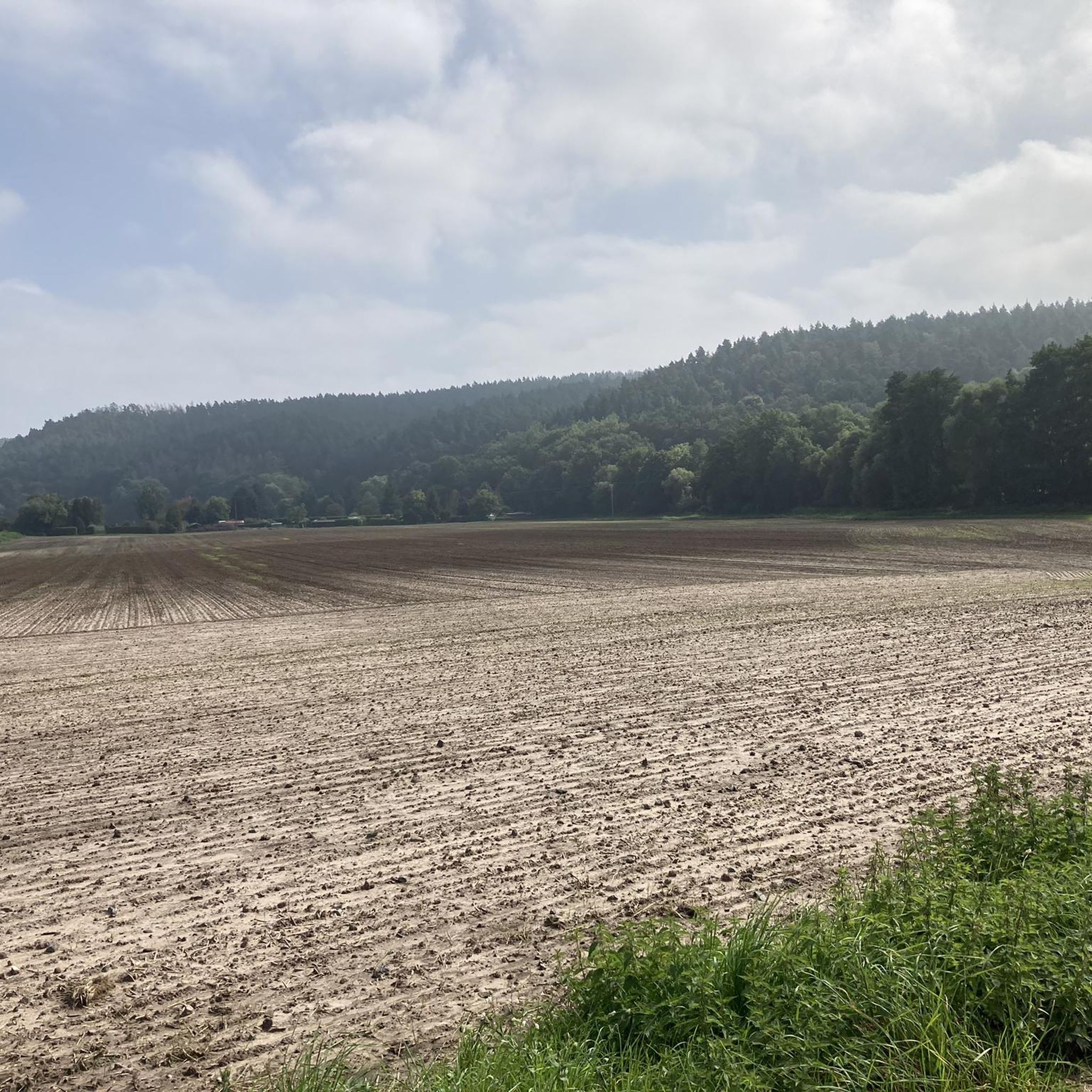
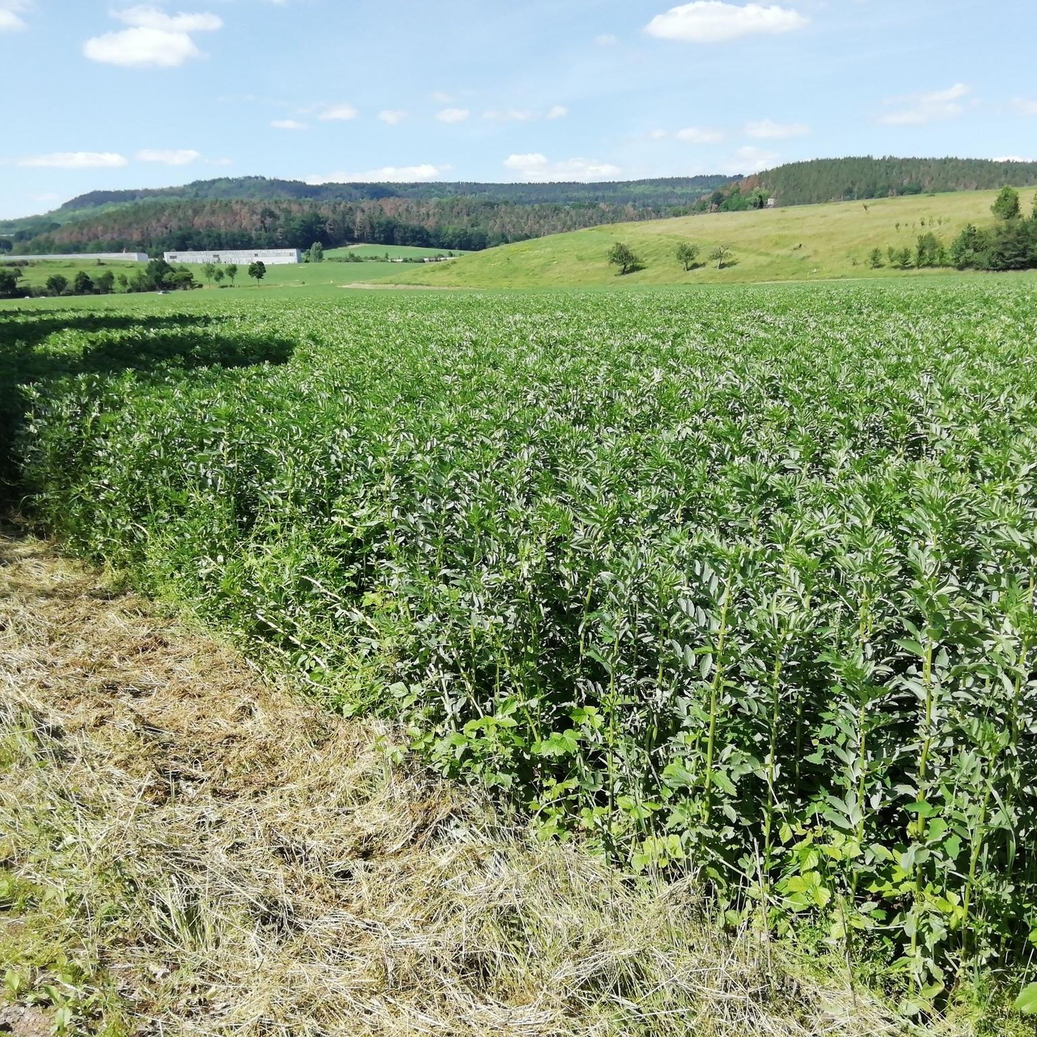
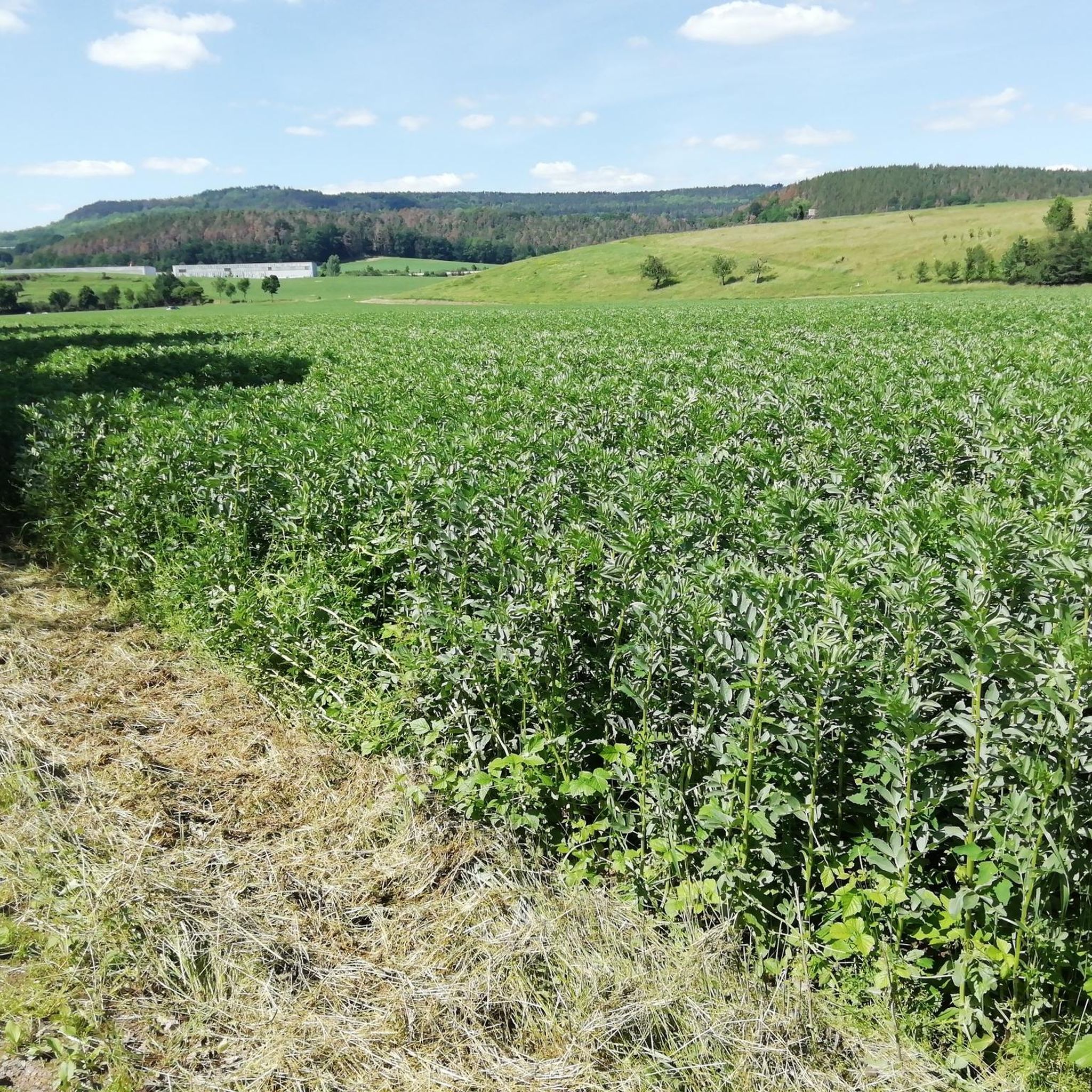
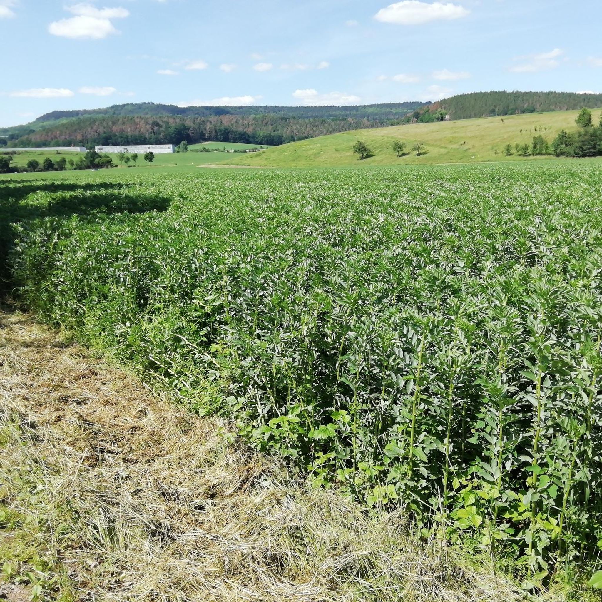


Tips from the Community


There are two clearly defined alpine ascents that are easily manageable with trekking poles. Beyond these, there are other routes, but these carry a slightly higher risk of slipping. This risk can be reduced by wearing very good hiking boots, using trekking poles effectively, and having absolute sure footing. Any injuries can be mitigated by reacting quickly and correctly if you do slip. A free fall is out of the question as long as you're not climbing. Given the loose rock, climbing is not advisable anyway.
0
0

You can do the trail without climbing equipment. However, it's very steep, sometimes slippery, and unsecured. In my opinion, it's very dangerous when wet. Fantastic views!
0
0
Yes, you could say that: you don't need climbing equipment. But it's steep, sometimes slippery, and not doable when wet. Fantastic view from the top!
0
0

Not far from the train station, two beautiful historic steel truss bridges lead over the Saale to the hiking trails to Leuchtenburg. It's worth looking at the river and the beavers' tracks from here!
2
0


Collecting stamps is a bit addictive ;-)
1
0

Beautiful large rest area on the Jenzig, right next to the Berggasthaus Jenzig
2
0
Frequently Asked Questions
What are the most popular elevated areas for hiking around Zöllnitz?
The most popular elevated areas for hiking around Zöllnitz include Dohlenstein, known for its steep terrain and top views, and Touringen Stamping Point 196 'Saurier' – Jenzig Summit, which offers a large resting area. Another highly regarded spot is Hilltop near Dürrengleina, providing beautiful foresight in all directions.
What kind of terrain can I expect when hiking to the Dohlenstein?
The Dohlenstein is known for its very steep and sometimes slippery terrain. While climbing equipment isn't required, good hiking shoes, proper technique with trekking poles, and surefootedness are highly recommended, especially since it can be dangerous when wet. Despite the challenge, it offers fantastic views.
Are there any historical or natural landmarks to see near the elevated areas in Zöllnitz?
Yes, near the elevated areas, you can find several points of interest. The Dohlenstein itself is a natural monument with an interesting landscape. Additionally, near the railway station, two historic steel truss bridges cross the Saale River, leading to hiking trails towards Dohlenstein and Leuchtenburg, offering views of the river and local wildlife like beavers. Ferdinandberg also features a memorial stone path and historical significance.
Where can I find good viewpoints around Zöllnitz?
Excellent viewpoints are plentiful. The Dohlenstein offers a 'top view' of the Saale River. Hilltop near Dürrengleina provides beautiful foresight in all directions. You can also find a very nice view from Ferdinandberg.
Are there family-friendly hiking options among the elevated areas near Zöllnitz?
While some areas like Dohlenstein can be challenging, many trails around Zöllnitz are suitable for families. For example, the Jenzig Summit is a popular destination with a large resting area, making it a good spot for a family break. For specific family-friendly routes, consider exploring the 'Hiking around Zöllnitz' guide, which includes easy and moderate trails like the 'Lobdeburg Castle Ruins – Drackendorf Church loop from Zöllnitz' or the 'Zöllnitz Church – Forest Path Near Zöllnitz loop from Neue Schenke'.
What facilities are available at the Jenzig Summit?
The Touringen Stamping Point 196 'Saurier' – Jenzig Summit features a large, well-equipped resting place directly adjacent to the Berggasthaus Jenzig (mountain inn). It's also a 'Touringen Stamping Point,' appealing to hikers who collect stamps from various scenic locations.
What outdoor activities, besides hiking, can I do near Zöllnitz's elevated areas?
Beyond hiking, the Zöllnitz region offers various cycling opportunities. You can explore routes for touring bicycles, such as those found in the Cycling around Zöllnitz guide, or try gravel biking with routes like those in the Gravel biking around Zöllnitz guide.
What do visitors enjoy the most about the elevated areas around Zöllnitz?
Visitors frequently praise the beautiful views and the opportunity for peaceful breaks. Many appreciate the interesting landscapes, such as those at Dohlenstein, and the foresight in all directions from spots like Hilltop near Dürrengleina. The well-equipped resting places, like the one at Jenzig Summit, are also highly valued for taking a break.
Is there a good place to rest or take a break during a hike?
Yes, several spots are ideal for resting. The Jenzig Summit has a very large and well-equipped rest area next to the Berggasthaus Jenzig. Hilltop near Dürrengleina also offers a pleasant spot to rest. Additionally, there are small rest areas with views of the Dohlenstein and the Saale River.
What is the highest point in the Zöllnitz region?
The highest point in the Zöllnitz region reaches approximately 308 meters (1,010 feet). While not alpine peaks, these elevated areas provide rewarding experiences for hikers and nature enthusiasts with scenic vistas and accessible trails.
Are there any specific hiking trails recommended for beginners around Zöllnitz?
For beginners, the 'Hiking around Zöllnitz' guide offers several easy routes. Examples include the 'Lobdeburg Castle Ruins – Drackendorf Church loop from Zöllnitz' (6.02 km) and the 'Gasthof Zur Den Linden – Laasdorf Church loop from Neue Schenke' (7.52 km). These trails provide a good introduction to the region's natural beauty without extreme difficulty.
Most popular routes around Zöllnitz
Most popular attractions around Zöllnitz

Get inspired with the komoot mobile app


Explore more
See even more amazing summits around Zöllnitz with these guides:
