The best gravel rides around Hamme
4.3
(115)
1,849
riders
80
rides
Gravel biking around Hamme features a landscape characterized by its flat terrain, riverine paths, and open meadows. The region offers routes that often follow the banks of the Durme river, providing a mix of paved and unpaved surfaces suitable for gravel bikes. Elevation changes are minimal, making the area accessible for longer rides without significant climbs.
Best gravel bike trails around Hamme
- The most popular gravel bike trail is Mira Bridge – Old Durme Gravel Path loop from Zele,…
Last updated: July 8, 2026
4.0
(2)
97
riders
47.4km
02:55
180m
180m
Moderate gravel ride. Good fitness required. Mostly paved surfaces. Suitable for all skill levels.
3.0
(1)
43
riders
48.0km
02:47
50m
50m
Moderate gravel ride. Good fitness required. Mostly paved surfaces. Suitable for all skill levels.

Sign up for free
4.3
(4)
35
riders
49.0km
02:51
50m
50m
Moderate gravel ride. Good fitness required. Mostly paved surfaces. Suitable for all skill levels.
4.0
(1)
21
riders
63.6km
03:49
90m
90m
Moderate gravel ride. Good fitness required. Mostly paved surfaces. Suitable for all skill levels.
24
riders
62.2km
03:41
130m
130m
Hard gravel ride. Good fitness required. You may need to push your bike for some segments of this route.
Get access to more routes and recommendations from other explorers.
Sign up for free
Already have an account?
Our route recommendations are based on thousands of hikes, rides, and runs completed by other people on komoot.
Start today with a free account
Your next adventure awaits.
Login or Signup
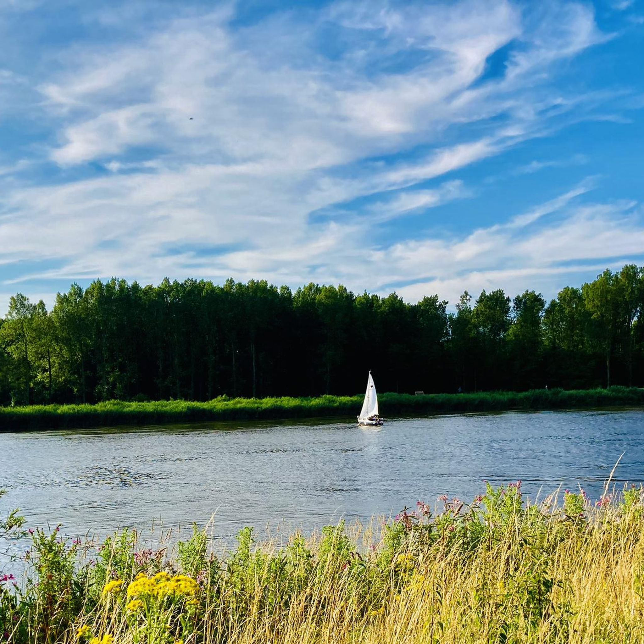
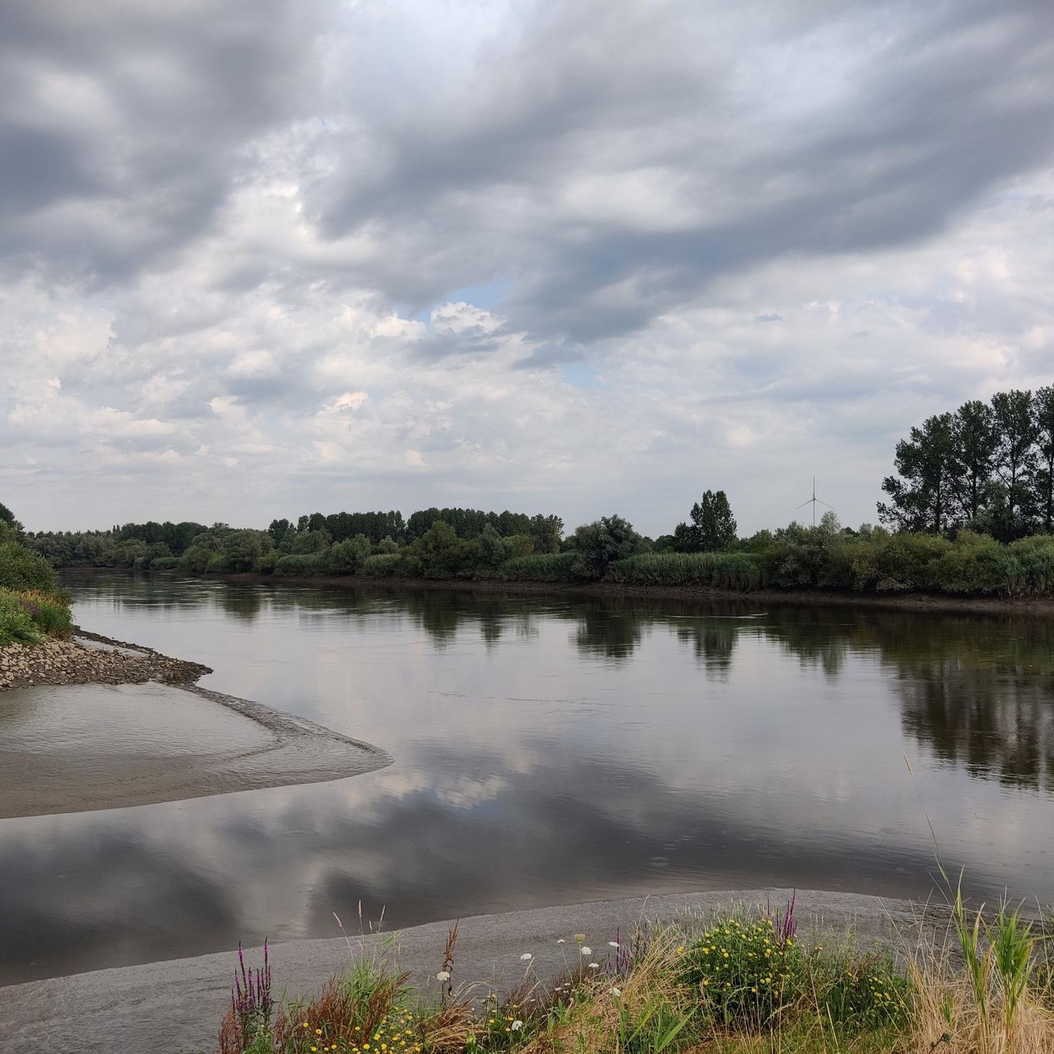
Other adventures around Hamme

Tips from the Community

The Molenbeek forms part of the northern border of the municipality of Sint-Niklaas with the municipalities of Sint-Gillis-Waas and Stekene. Hydrographically, the Molenbeek belongs to the basin of the Gentse Kanalen. Previously, the Molenbeek originated in the center of Sint-Niklaas, at the site where the Romain De Vidtspark is now located. Nowadays, the stream flows through the entire Sint-Niklaas center from south to north in culverts, to re-emerge on the surface at the edge of Belsele and then flow through Sinaai until it flows into the Stekense Vaart. From that confluence, a path follows the banks of the stream for a considerable distance.
2
0
The wooden arch bridge over the Stekense Vaart, named after Frans Coppens, was receiver-clerk in the municipality of Sinaai for almost a quarter of a century. He played an important role in "de Groote Watering van Sinay", the name given to the project launched by the Boerenbond in 1926. This project was initiated after repeated floods and aimed to make the polders 'dry'. The construction of the pumping station near Hondsnest was one of the first achievements within this project. During the Second World War, the unemployed were employed to clean or widen ditches. Under the impetus of dike reeve Jozef "meester" Maes and... receiver-clerk Frans Coppens (!), major reclamation works were carried out in the 60s, continuing into the following decades. Thus, Hondsnest got a new pumping station in 1975. In the meantime, the watering area had been converted into a polder, pursuant to the polder law of June 3, 1957. source: info file "Polder Daknam-Sinaai"
2
0

Where cyclists and hikers can enjoy the landscape at their own pace.
0
0
Nice gravel path runs parallel to the Oude Durme. Benches invite you to linger.
2
0
Daknambrug in Daknam, a sub-municipality of Lokeren. This charming swing bridge over the Durme is located at the site of a former ferry crossing on the old Lille-Tilburg highway. Such a ferry served as a bridge to transport people, livestock, horses, and vehicles. The current swing bridge has replaced a small wooden bridge since the 1930s. At that time, the Durme was straightened here between the confluence of the Zuidlede and Moervaart at Spletterenbrug and the bend near Middendam. In the summer, you can see the bridge keeper opening the bridge to let pleasure boats pass, sailing to or from Lokeren.
5
0
Opened on October 1, 2012, the Brug Ter Beuken provides a safe and green connection to the city center. It has since become a fixed landmark in the landscape: the beautiful red cycle and footbridge that spans the Durme at the end of Vijgenstraat. The bridge is 21m long. Source: axiradio.be
4
0

most beautiful bridge in the world. Enough!
1
0
Frequently Asked Questions
How many gravel bike trails are available in Hamme?
Hamme offers a wide selection of gravel bike trails, with over 100 routes available. These cater to various skill levels, including easy, moderate, and difficult options.
What kind of terrain can I expect on gravel bike routes around Hamme?
The gravel bike routes in Hamme are characterized by flat terrain, following riverine paths and crossing open meadows. You'll encounter a mix of paved and unpaved surfaces, often along the banks of the Durme river, with minimal elevation changes.
Are there easy gravel bike trails suitable for beginners or families in Hamme?
Yes, Hamme has several easy gravel bike trails perfect for beginners or family outings. For example, the Kaaiweg Off-Road Path – Horse meadow loop from Zele is a moderate 35.7 km route that offers a pleasant ride through the local landscape.
Can I find circular gravel bike routes in Hamme?
Many of the gravel bike routes in Hamme are designed as loops, allowing you to start and finish at the same point. A popular option is the Mira Bridge – Old Durme Gravel Path loop from Zele, which is a 48.5 km circular trail.
What are some points of interest or natural attractions I can see along the gravel bike trails?
Along your gravel bike rides, you can explore various natural and recreational highlights. Consider visiting the Mirabrug Hamme Skill Park for some extra fun, or enjoy the tranquility of the Berlarebroek Nature Reserve. The Polle-bos Play Forest is also a great spot to discover.
Are there any longer or more challenging gravel bike routes for experienced riders?
For experienced riders seeking a longer challenge, the Old Durme Meander Path – Horse meadow loop from Baasrode-Noord is a substantial 74.4 km route. Another option for those looking for a more difficult ride is the Mira Bridge – Mira Bridge loop from Baasrode-Noord, spanning 49.3 km.
What do other gravel bikers enjoy the most about gravel biking in Hamme?
The gravel biking experience in Hamme is highly rated by the komoot community, with an average score of 4.4 stars from over 100 reviews. Riders often praise the scenic river paths, open meadows, and quiet country roads that define the region's routes.
When is the best time of year for gravel biking in Hamme?
Given the flat terrain and riverine paths, gravel biking in Hamme is enjoyable for much of the year. Spring and autumn offer pleasant temperatures and beautiful scenery, while summer can be great for longer days. Even in winter, the minimal elevation makes routes accessible, though conditions may vary.
Are there any routes that include singletrack sections?
Yes, for those who enjoy varied riding surfaces, the Chapel of the Cross – Liniewegel Singletrack loop from Zele includes sections of singletrack alongside open country, providing a more dynamic experience.
Are there places to stop for refreshments or cafes along the gravel routes?
While specific cafes are not listed directly on every route, Hamme and its surrounding villages offer various establishments where you can find refreshments. Many routes pass through or near populated areas, making it convenient to find a stop for a break.
What is the average distance of gravel bike routes in Hamme?
The gravel bike routes in Hamme vary in distance, but many popular loops range from approximately 35 km to over 70 km. This provides options for both shorter rides and full-day adventures.
Most popular attractions around Hamme

Get inspired with the komoot mobile app


Explore more
Browse the best Gravel rides in other regions.
