The best gravel rides around Blakenhall
5
riders
1
ride
Gravel biking around Blakenhall offers routes through an undulating rural landscape in Cheshire, England. The area features low hills, with the highest point reaching 308 feet (94 meters), providing varied terrain for cyclists. Routes often pass through ancient woodlands such as Mill Covert and Ash Coppice, and alongside natural water features like Forge Brook and Checkley Brook. The predominantly agricultural scenery includes pastures and farms, creating a tranquil countryside experience for gravel bikers.
Best gravel bike trails around Blakenhall
- The…
Last updated: July 15, 2026
2
riders
14.4km
01:08
210m
210m
Moderate gravel ride. Good fitness required. Mostly paved surfaces. Suitable for all skill levels.
3
riders
Moderate gravel ride. Good fitness required. Mostly paved surfaces. Suitable for all skill levels.

Sign up for free
82.5km
04:34
410m
410m
Moderate gravel ride. Good fitness required. Mostly paved surfaces. Suitable for all skill levels.
Our route recommendations are based on thousands of hikes, rides, and runs completed by other people on komoot.
Start today with a free account
Your next adventure awaits.
Login or Signup

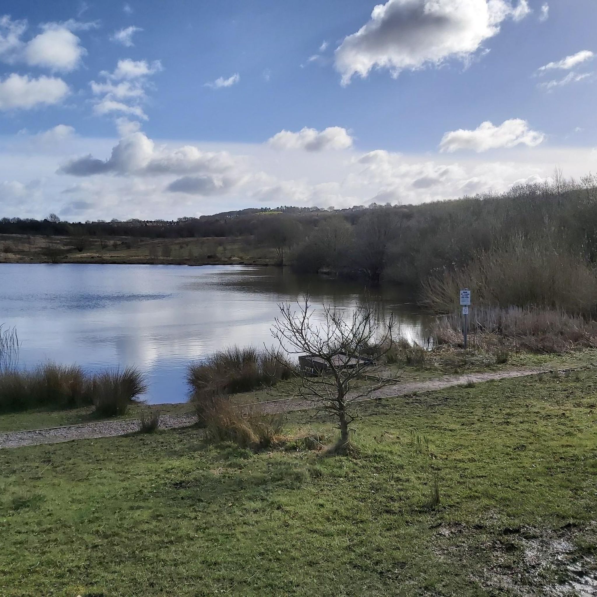
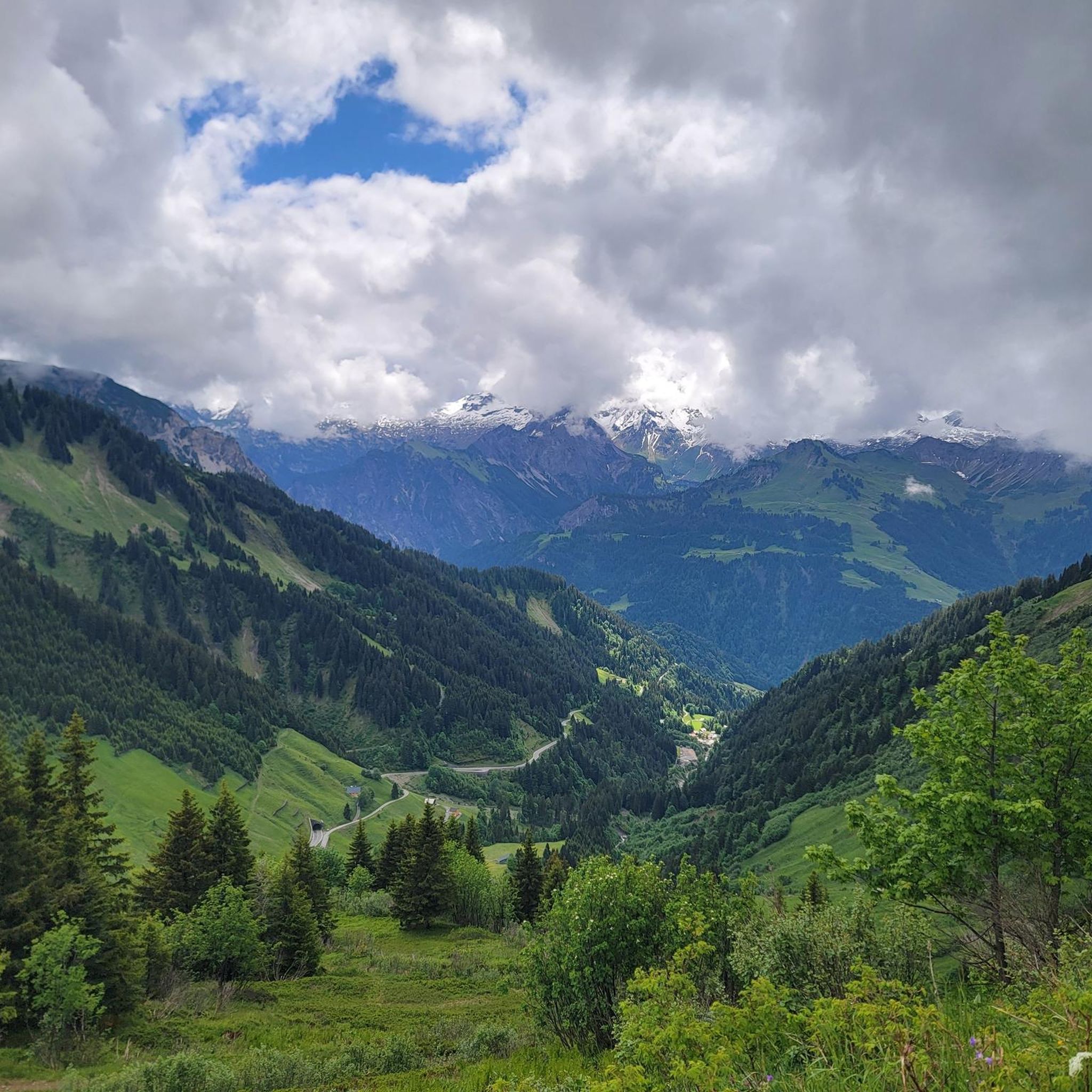

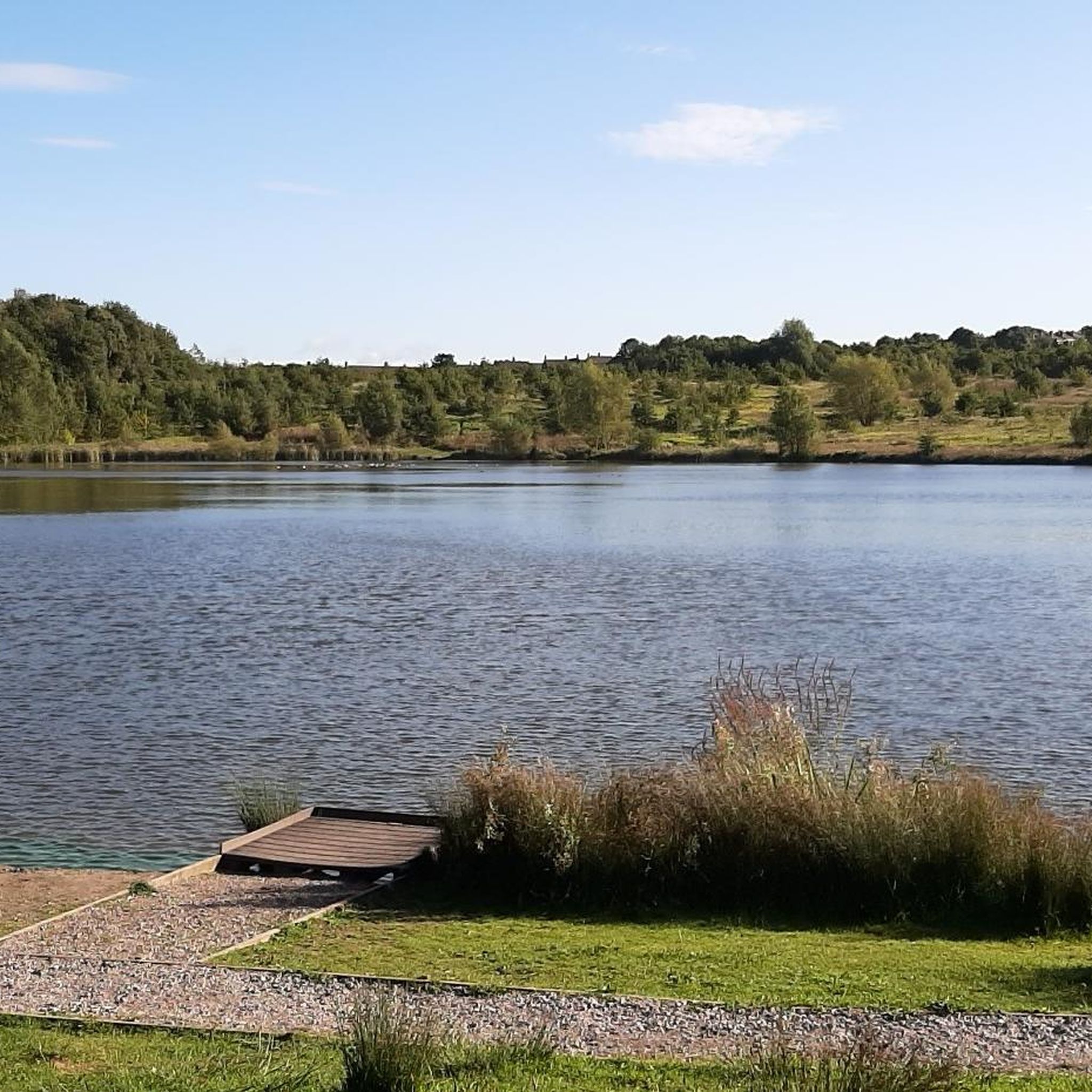
Tips from the Community

Lovely ride through Delamere Forest. You can't go wrong on a mtb or emtb. I entered the forest at New Pale and went round lots of trails to the holiday lodges and came out on Waterloo Lane.
0
0

„Today the Salt Line runs through farmland and woodlands, with streams, pools and rough grassland. Wild primroses brighten up the steep cutting at Roughwood Hollow while later in the year the delicate flowers of scabious and harebell can be seen on the banks. Areas of willow and hazel are coppiced regularly. This is an ancient woodland practice in which trees are cut every few years to produce timber that would have been traditionally used for thatching spars, barrel hoops, hurdles and baskets. Sheltered glades are created where flower and insects thrive, until the trees re-grow and the process begins again. Some areas are managed as wild flower meadows while others are left fairly wild and just cut back enough to keep the path clear. Look out for Bullfinches and Yellowhammers that feed on buds, berries and seeds along the Salt Line.“ Quelle: https://visitcheshire.com/trails/the-salt-line
0
0

A place of memorial for those who tragically died in 1918 explosion while at work underground
0
0

The Apedale Valley Light Railway is a heritage narrow gauge railway with a collection of historic steam and diesel locomotives. You can take the 15-min train ride between Silverdale and Apedale or just have a look and then go for a longer walk in Apedale Country Park.
0
1
Frequently Asked Questions
What kind of terrain can I expect on gravel bike trails around Blakenhall?
The Blakenhall area features an undulating landscape with low hills, offering a mix of challenging ascents and scenic descents. You'll ride through ancient woodlands, past natural water features like brooks and meres, and across tranquil agricultural scenery with pastures and farms.
Are there any family-friendly gravel biking options in Blakenhall?
While specific 'easy' routes are not detailed, the region's varied terrain includes moderate options that could be suitable for families with some biking experience. Look for routes that avoid the highest elevation gains if you're seeking a gentler ride.
What natural features or landmarks can I see along the gravel bike routes?
Many routes will take you through picturesque ancient woodlands such as Mill Covert and Ash Coppice, known for wildflowers like bluebells. You might also encounter natural water features like Forge Brook, Checkley Brook, and various small meres and ponds. For specific landmarks, consider routes that pass near John Wedgwood Monument or Bateswood Pool.
Are there any loop routes available for gravel biking in Blakenhall?
Yes, there are several loop routes. For example, the Apedale Pit Wheel Memorial – Bateswood Pool loop from Audley is a moderate 14.4 km route with 214 meters of ascent. Another option is the longer Apedale Country Park – Apedale Pit Wheel Memorial loop from Chesterton Community Sports College, which covers 29.4 km with 276 meters of elevation gain.
What is the best time of year to go gravel biking in Blakenhall?
The region's ancient woodlands and natural features, like bluebells in Ash Coppice, suggest spring offers particularly scenic rides. However, the undulating terrain and rural paths are generally enjoyable throughout the warmer months, from spring to autumn, when conditions are typically drier.
Are there any particularly challenging gravel bike routes in the area?
For experienced gravel bikers seeking a challenge, the Whitegate Way – Whitegate Way loop from Alsager is a difficult 82.6 km trail with a total ascent of 418 meters, often taking nearly six hours to complete. It leads through rural landscapes and along former railway lines.
Can I find places to stop for refreshments like cafes or pubs along the routes?
While specific cafes or pubs directly on the trails are not detailed, Blakenhall is a rural area. You may find options in nearby villages or towns. Planning your route to pass through larger settlements will increase your chances of finding refreshment stops.
What are the elevation gains like on Blakenhall's gravel trails?
The trails in Blakenhall feature an undulating landscape with low hills. Elevation gains vary, with moderate routes typically having ascents around 200-300 meters, while more difficult routes can reach over 400 meters, such as the 418 meters on the Whitegate Way loop.
Is Blakenhall Moss accessible by gravel bike?
Blakenhall Moss is a Cheshire Wildlife Trust nature reserve undergoing restoration. While the general area is suitable for gravel biking, access within the reserve itself might be restricted to protect the delicate ecosystem. It's best to check local signage or the Cheshire Wildlife Trust's guidelines for specific access rules.
What kind of natural water features will I encounter on the trails?
You'll often ride alongside watercourses such as Forge Brook, Checkley Brook, and Mere Gutter. The area also has numerous small meres and ponds, particularly within the woodlands, adding to the scenic beauty of the routes.
Are there any historical sites or monuments near the gravel biking trails?
Yes, you can find historical sites nearby. The John Wedgwood Monument and the Nantwich Aqueduct are notable historical landmarks in the vicinity that could be incorporated into a longer ride or visited separately.
What is the highest point I might reach on a gravel bike ride in Blakenhall?
The highest point in the Blakenhall parish reaches 94 meters (308 ft) in the south-east corner. While individual routes may not reach this exact peak, the undulating terrain means you'll experience varied elevations throughout your ride.
Most popular attractions around Blakenhall

Get inspired with the komoot mobile app


Explore more
Browse the best Gravel rides in other regions.
