The best gravel rides around Framfield
4.8
(7)
35
riders
3
rides
Gravel biking around Framfield offers varied terrain across East Sussex, characterized by rolling hills, ancient woodlands, and former railway lines converted into multi-use paths. The region provides a mix of open countryside and sheltered forest sections within the High Weald AONB. Elevations are generally moderate, with some routes featuring more significant climbs towards prominent local hills, ensuring a dynamic cycling experience.
Best gravel bike trails around Framfield
- The most popular gravel bike trail is Forest Way Cycle Path – Forest…
Last updated: July 17, 2026
5.0
(4)
25
riders
48.2km
02:42
420m
420m
Moderate gravel ride. Good fitness required. Mostly paved surfaces. Suitable for all skill levels.
4.5
(2)
6
riders
46.4km
02:50
580m
580m
Hard gravel ride. Very good fitness required. Mostly paved surfaces. Suitable for all skill levels.

Sign up for free
5.0
(1)
2
riders
Hard gravel ride. Very good fitness required. Mostly paved surfaces. Suitable for all skill levels.
2
riders
41.4km
02:18
460m
460m
Hard gravel ride. Very good fitness required. Mostly paved surfaces. Suitable for all skill levels.
Our route recommendations are based on thousands of hikes, rides, and runs completed by other people on komoot.
Start today with a free account
Your next adventure awaits.
Login or Signup


Tips from the Community

Lovely route to ride
0
0

If only all old railways could be a good as this one. Whitstable to Folkestone on the Canterbury South is on my hitlist!!
0
0

Decent shop with hot food over the counter, plus some tea rooms.
0
0


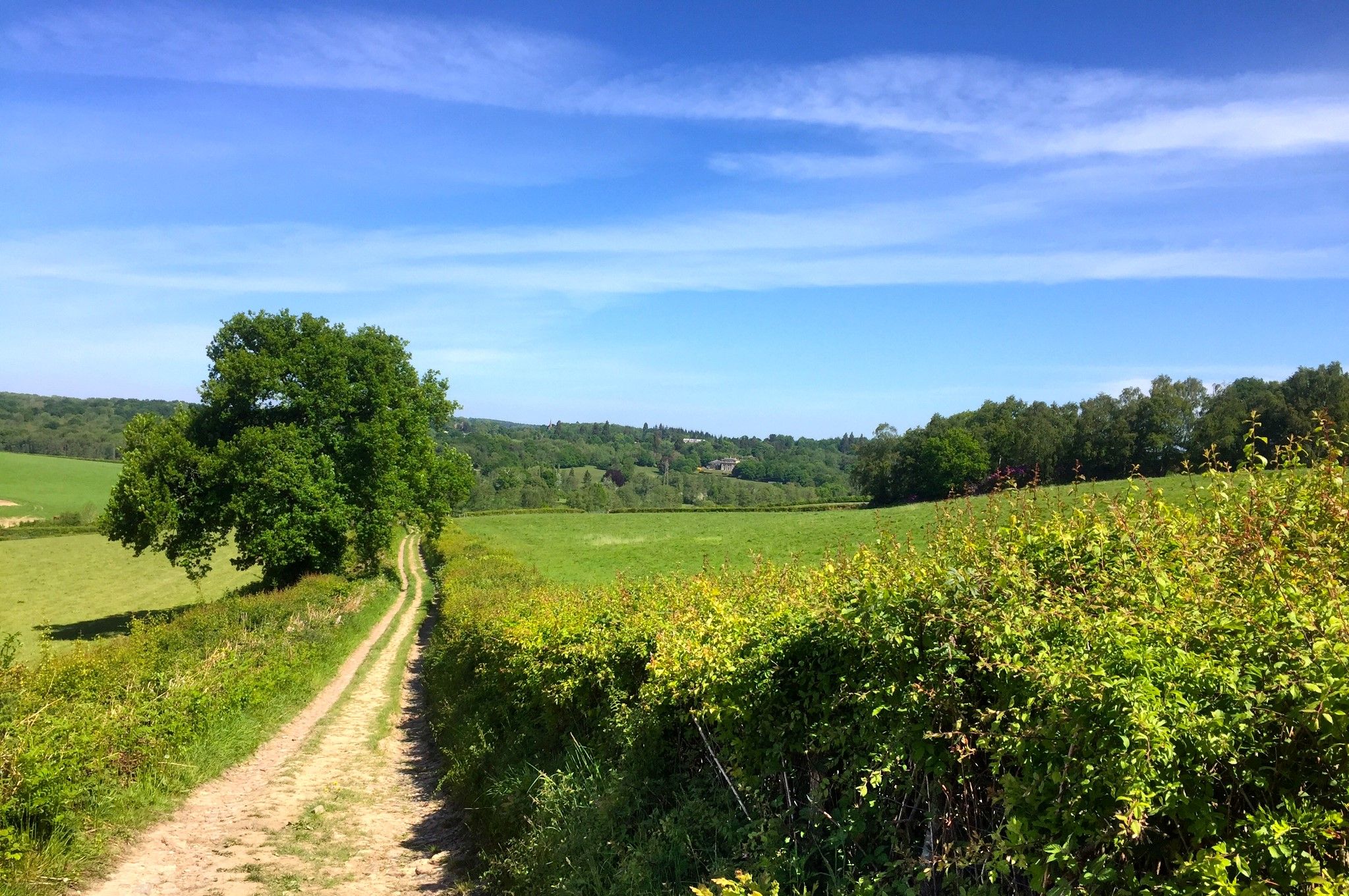
Whichever way you've come up to get here you'll have done some climbing, so make sure to enjoy the epic views out over the High Weald and Ashdown Forest. Especially if you came up Kidd's Hill (the Wall), one of the top 100 UK climbs. Usually quiet, with a great road surface, it's a cycling paradise.
0
0

Glynde village boasts a unique and storied past. For nearly five centuries, the majority of this village has been under the ownership of a single family. Located to the east of Lewes and entirely enveloped by the South Downs National Park, Glynde provides you with breathtaking vistas of the Weald and the Downs, firmly establishing itself as one of the most picturesque villages in the county. It has a train station and village shop but no pub!
0
1

Ashdown forest is a mixed bag for me. There are few roads across it and those that there are tend to be a bit busier and faster than I would like. But the views over the forest are pretty good - and of course there are some decent hills - particularly Kidd's hill.
0
1

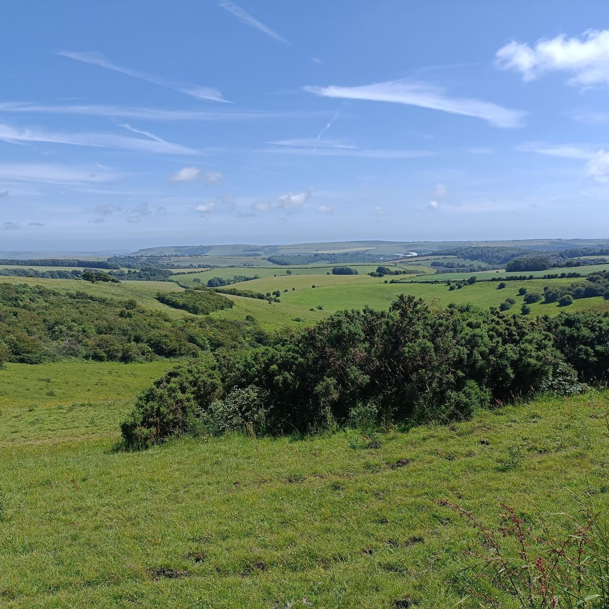
An amble up Firle Beacon in the South Downs of southern England. It is 217 metres high and is a Marilyn. It commands a far-reaching view. It is a trig pointed summit and a designated Marilyn.
3
0
Frequently Asked Questions
How many gravel bike trails are available around Framfield?
There are 8 gravel bike routes documented around Framfield on komoot, offering a variety of experiences from moderate loops to more challenging rides.
Are there any easy gravel bike trails suitable for beginners or families in Framfield?
Yes, there are routes suitable for beginners. While many routes have moderate to difficult ratings, the region's former railway paths often provide smoother sections. For a moderate option, consider the Hellingly Old Station House – Millennium Milepost 151X loop from Hellingly, which is 16.0 miles (25.7 km) long and generally takes under 2 hours.
What is the typical length and duration of gravel bike routes in the Framfield area?
Gravel bike routes around Framfield vary significantly. You'll find shorter loops like the Hellingly Old Station House – Millennium Milepost 151X loop from Hellingly at 16.0 miles (25.7 km), taking about 1 hour 49 minutes. Longer, more challenging rides can extend to over 30 miles (48 km), such as the Forest Way Cycle Path – Forest Way loop from Crowborough, which is 30.1 miles (48.4 km) and takes around 3 hours 34 minutes.
Are there challenging gravel biking routes around Framfield with significant elevation gain?
Absolutely. The Framfield area, being part of East Sussex, features rolling hills and some routes with notable climbs. For a challenging experience, the View of Litlington White Horse – Firle Beacon summit loop from The Wok Inn is a difficult 30.5 miles (49.1 km) path that includes significant climbs and offers expansive views from Firle Beacon.
What kind of terrain can I expect on gravel bike trails near Framfield?
The terrain around Framfield is varied, characterized by rolling hills, ancient woodlands, and sections of former railway lines converted into multi-use paths. You'll encounter a mix of open countryside and sheltered forest sections, with elevations generally moderate but some routes featuring more significant climbs.
Are there any scenic viewpoints or landmarks along the gravel bike routes in Framfield?
Yes, several routes offer scenic views and pass by interesting landmarks. For instance, the challenging route to Kidd's Hill (The Wall) Climb from Coleman's Hatch provides great vistas. You might also encounter historical sites like Nutley Windmill or the Fletching Village and St. Andrew & St. Mary the Virgin Church, depending on your chosen route.
Can I find circular gravel bike routes around Framfield?
Many of the gravel bike routes in the Framfield area are designed as loops, allowing you to start and finish at the same point. Examples include the Forest Way Cycle Path – Forest Way loop from Nutley and the Forest Way – Forest Way Cycle Path loop from Maresfield, both offering extensive circular rides.
What do other gravel bikers enjoy most about gravel biking in Framfield?
The area is highly rated by the komoot community, with an average score of 4.6 stars from 9 reviews. Reviewers often praise the varied terrain, the mix of open countryside and woodland sections, and the well-maintained paths, especially those along former railway lines like the Cuckoo Trail.
Is public transport an option for accessing gravel bike trails near Framfield?
While Framfield itself is a rural area, some routes, particularly those utilizing former railway lines, might have access points near villages or towns with limited public transport connections. However, direct public transport access to all trailheads can be challenging, and planning ahead is recommended.
Are there any gravel bike routes around Framfield that pass by pubs or cafes?
Many routes in the English countryside, including those around Framfield, often pass through villages or near country pubs, offering opportunities for refreshment stops. While specific pub stops aren't detailed for every route, exploring the villages along your chosen path will likely reveal suitable options.
What is the best time of year to go gravel biking around Framfield?
The best time to go gravel biking around Framfield is generally from spring through autumn (April to October) when the weather is milder and trails are drier. Summer offers longer daylight hours, but spring and autumn provide pleasant temperatures and beautiful scenery, especially with changing foliage.
Most popular attractions around Framfield

Get inspired with the komoot mobile app


Explore more
Browse the best Gravel rides in other regions.
