The best gravel rides around Northchapel
3.8
(4)
19
riders
10
rides
Gravel biking around Northchapel offers access to a diverse landscape, situated near the South Downs National Park and the Rother Valley. The terrain features a mix of ancient woodlands, flinty farm tracks, and chalky bridleways, providing varied surfaces for cycling. Routes range from mostly paved paths to more challenging unpaved segments with significant elevation changes. This area provides a network of trails suitable for different skill levels, from gentle rides through quiet lanes to demanding climbs.
Best gravel bike trails…
Last updated: October 6, 2026
5.0
(1)
6
riders
25.5km
01:55
310m
310m
Moderate gravel ride. Good fitness required. Mostly paved surfaces. Suitable for all skill levels.
6
riders
29.0km
01:48
170m
170m
Moderate gravel ride. Good fitness required. Mostly paved surfaces. Suitable for all skill levels.

4.7
(3)
5
riders
42.4km
03:22
600m
600m
Hard gravel ride. Very good fitness required. Mostly paved surfaces. Suitable for all skill levels.
3.0
(1)
3
riders
Hard gravel ride. Very good fitness required. Mostly paved surfaces. Suitable for all skill levels.
1
riders
Easy gravel ride. Great for any fitness level. Mostly paved surfaces. Suitable for all skill levels.
Get access to more routes and recommendations from other explorers.
Already have an account?
Our route recommendations are based on thousands of hikes, rides, and runs completed by other people on komoot.
Start today with a free account
Your next adventure awaits.
Tips from the Community


A very appealing church with an inviting prayer corner.
1
0

Branching off the main trails, the quiet country lanes surrounding the Devil’s Punch Bowl offer tranquil, traffic-free routes. These scenic paths wind past historic farmsteads and sunken valleys, providing a deeply peaceful local countryside escape.
0
0
Built around 1910 by shipbuilder Viscount Pirrie, the Temple of the Four Winds was a grand stone hunting lodge and viewing pavilion. After falling into severe disrepair, the unsafe structure was dismantled in 1966. Today, only its restored stone plinth remains on Hurt Hill, offering magnificent, sweeping views.
0
0
Gibbet Hill is the second-highest point in Surrey, offering an extraordinary viewpoint that stands out within the Devil’s Punch Bowl landscape. Standing beside the historic Celtic cross, you look out over a breathtaking panoramic landscape of rolling hills, deep valleys, and open heathland. On crisp, clear days, the scenery opens up dramatically, allowing you to trace the horizon all the way to the iconic skyline of central London, miles to the northeast.
0
0
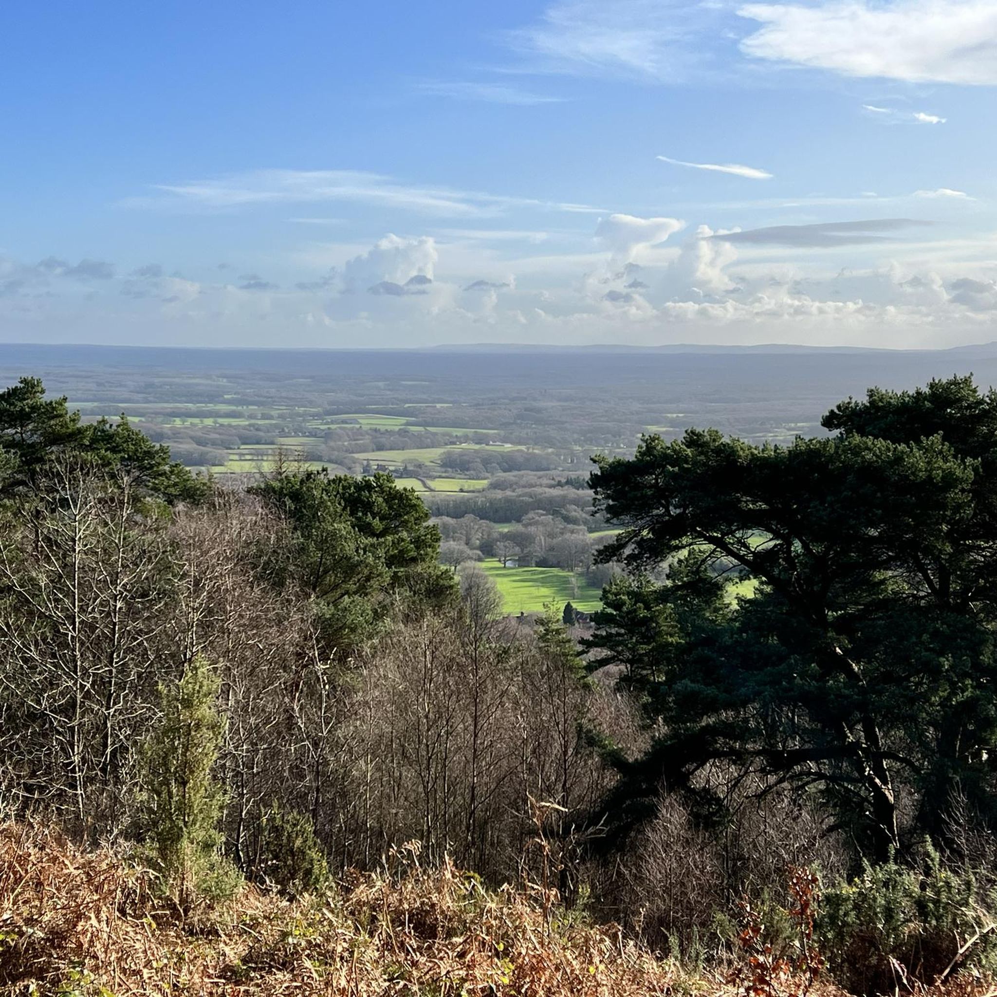
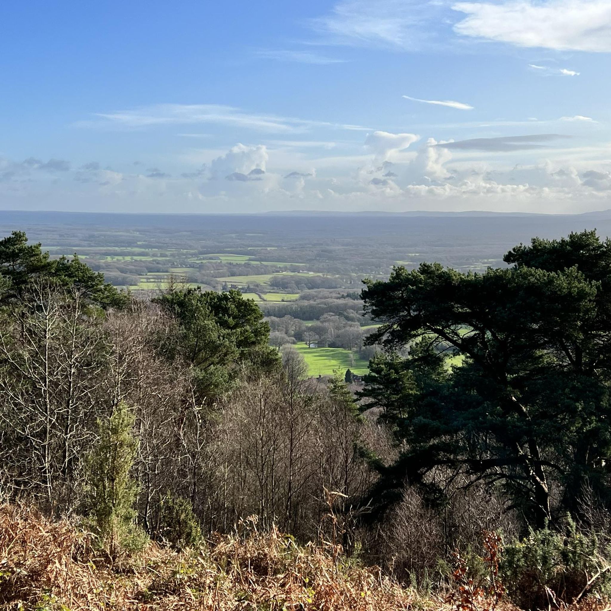
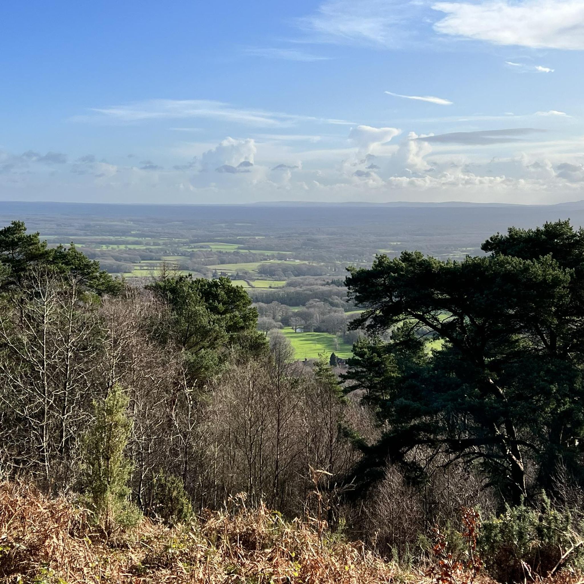
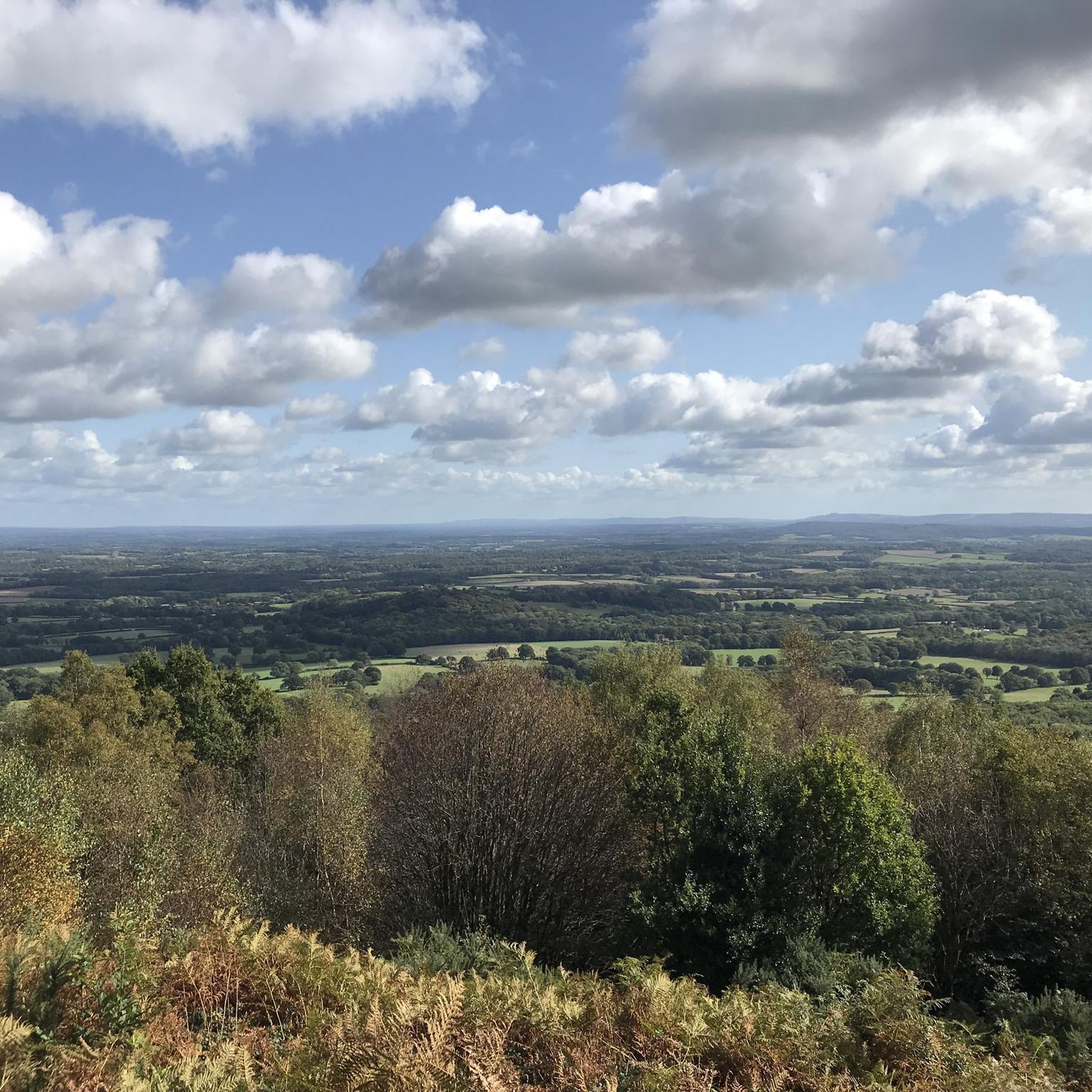
Looking out from the rim of the Devil’s Punch Bowl, you’re treated to a spectacular vista of a massive, natural hollow carved into the Surrey Hills. The sweeping valley below is alive with a colorful patchwork of purple heather, bright gorse, and thick woods, while sharp eyes might catch the London skyline far in the distance on a clear day.
0
0


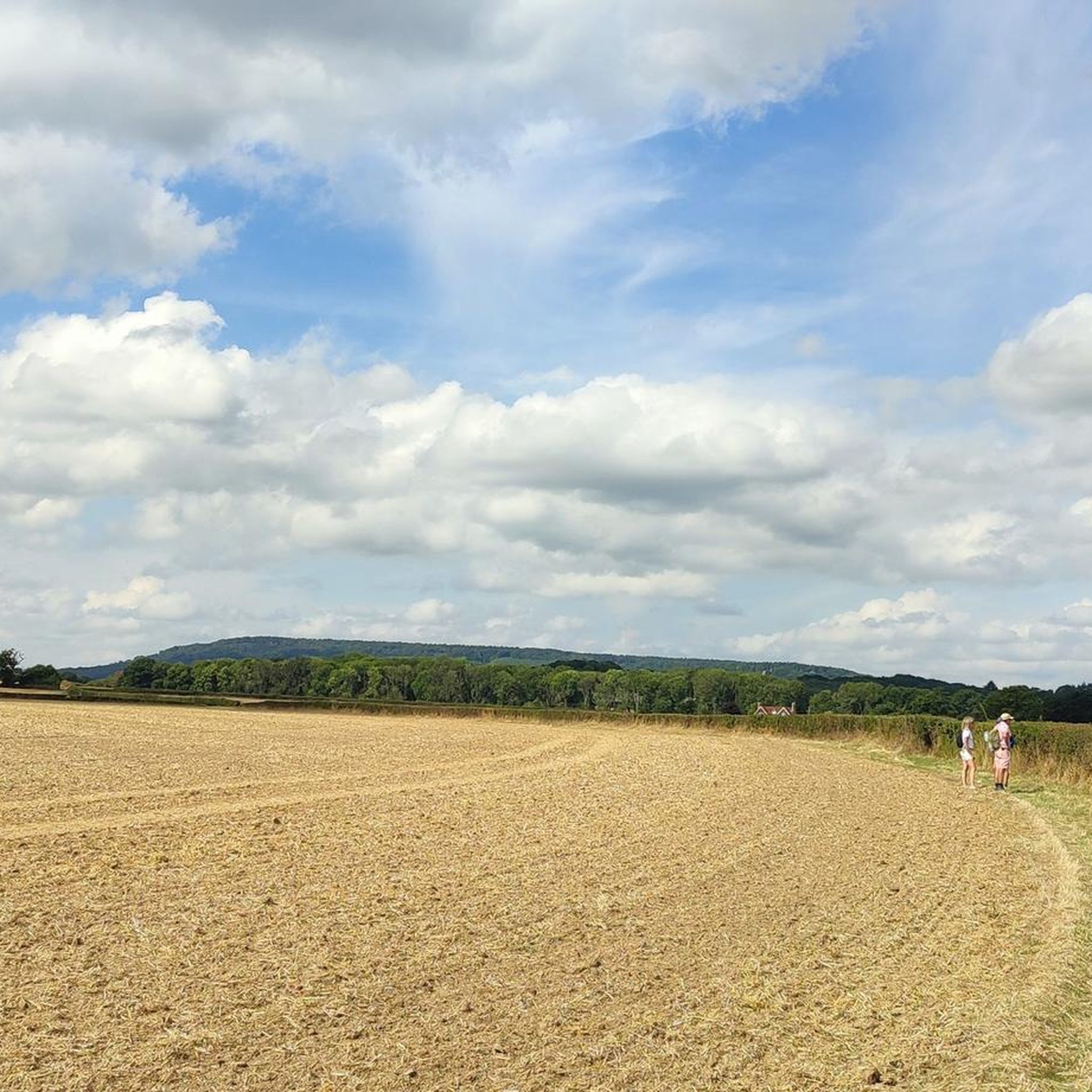
A quieter side of the Devils Punchbowl, you're away from the crowds and can enjoy the maze of paths.
0
0
Frequently Asked Questions
How many gravel bike trails are available around Northchapel?
Northchapel offers a selection of 12 gravel bike routes on komoot, catering to various skill levels. You'll find 3 easy, 4 moderate, and 5 difficult trails to explore the diverse landscape.
What kind of terrain can I expect on gravel bike routes near Northchapel?
The terrain around Northchapel is quite varied, featuring ancient woodlands, flinty farm tracks, and chalky bridleways. You'll encounter a mix of mostly paved surfaces suitable for all skill levels, as well as more challenging unpaved segments with significant elevation gains, especially closer to the South Downs National Park.
Are there any easy gravel bike routes suitable for beginners or families?
Yes, Northchapel has 3 easy gravel bike routes. While specific family-friendly routes aren't highlighted, the easier trails often follow quieter lanes and scenic pathways, which can be suitable for those looking for a less strenuous ride. Always check the route details for specific suitability.
What are some notable viewpoints or landmarks I can see on a gravel bike ride?
Many routes offer panoramic views across the South Downs National Park. For specific landmarks, consider routes that pass by Temple of the Wind Viewpoint or Hydon's Ball Summit. You might also encounter historic sites like Burton Mill Pond and Mill or the tranquil South Pond, Midhurst.
Are there any circular gravel bike routes around Northchapel?
Yes, many of the gravel bike routes around Northchapel are designed as loops. For example, the moderate South Pond, Midhurst – West Sussex Lanes loop from Midhurst and the scenic Rudgwick Double Bridge – Loxwood Lock loop from Loxwood are both popular circular options.
What is the best time of year to go gravel biking in Northchapel?
The varied terrain, including flinty farm tracks and chalky bridleways, means conditions can change with the seasons. Spring and autumn generally offer pleasant temperatures and beautiful scenery. During winter, some unpaved sections might be muddy, while dry summer spells can make woodland singletrack dusty. Always check local weather conditions before heading out.
Are there any challenging gravel bike routes for experienced riders?
Absolutely. Northchapel offers 5 difficult gravel bike routes for those seeking a challenge. A good example is the View from Gibbet Hill – Temple of the Wind Viewpoint loop from Hindhead, which covers 26.0 miles with significant climbs and varied terrain.
What do other gravel bikers say about the routes in Northchapel?
The gravel biking routes around Northchapel are rated by the komoot community with an average score of 3.0 stars. Over 40 gravel bikers have used komoot to explore the area, often praising the diverse terrain, from ancient woodlands to scenic bridleways, and the options available for different ability levels.
Can I find routes that pass through the South Downs National Park?
Yes, Northchapel's proximity to the South Downs National Park means many routes either enter or offer views of the park. The park is known for its extensive network of bridleways, many of which are suitable for gravel biking, providing long, sweeping sections and challenging climbs.
Are there any routes that explore the Rother Valley area?
Yes, the Rother Valley Trail passes through Northchapel, offering quieter lanes and scenic pathways. The Rudgwick Double Bridge – Loxwood Lock loop from Loxwood is a moderate 18.0-mile route that specifically highlights the scenic pathways within the Rother Valley area.
Where can I find parking for gravel biking routes near Northchapel?
While specific parking locations for each route aren't detailed, many routes start from villages or popular trailheads where public parking is often available. For example, routes starting from Midhurst or Loxwood would typically have parking options nearby. Always check the starting point of your chosen route for local parking information.
Are there any longer gravel bike routes for an all-day adventure?
For a longer ride, consider the difficult Longmoor Ranges Fire Roads – Liss Riverside Railway Path loop from Haslemere. This route spans 33.9 miles and involves significant elevation, making it a substantial ride for a full day out on your gravel bike.
Most popular routes around Northchapel
Most popular attractions around Northchapel

Get inspired with the komoot mobile app


Explore more
Browse the best Gravel rides in other regions.
