The best gravel rides around Sumacàrcer
5.0
(1)
40
riders
12
rides
Gravel biking around Sumacàrcer offers a diverse landscape characterized by rolling hills, river valleys, and elevated viewpoints. The region features a mix of challenging climbs towards peaks like Caroche and more moderate routes through agricultural areas and along historical paths. Terrain varies from compacted dirt roads to gravel tracks, providing varied conditions for gravel cyclists. These routes often traverse natural parks and offer panoramic views of the surrounding Valencian countryside.
Best gravel bike trails around Sumacàrcer
- The most popular gravel…
Last updated: July 8, 2026
86.9km
07:08
1,840m
1,840m
Hard gravel ride. Very good fitness required. Mostly paved surfaces. Suitable for all skill levels.
9
riders
44.8km
03:04
670m
680m
Hard gravel ride. Very good fitness required. You may need to push your bike for some segments of this route.

Sign up for free
5.0
(1)
4
riders
105km
08:09
2,230m
2,230m
Hard gravel ride. Very good fitness required. You may need to push your bike for some segments of this route.
5
riders
39.0km
02:36
530m
530m
Hard gravel ride. Very good fitness required. Mostly paved surfaces. Suitable for all skill levels.
2
riders
18.1km
01:27
310m
310m
Moderate gravel ride. Good fitness required. Mostly paved surfaces. Suitable for all skill levels.
Get access to more routes and recommendations from other explorers.
Sign up for free
Already have an account?
Our route recommendations are based on thousands of hikes, rides, and runs completed by other people on komoot.
Start today with a free account
Your next adventure awaits.
Login or Signup
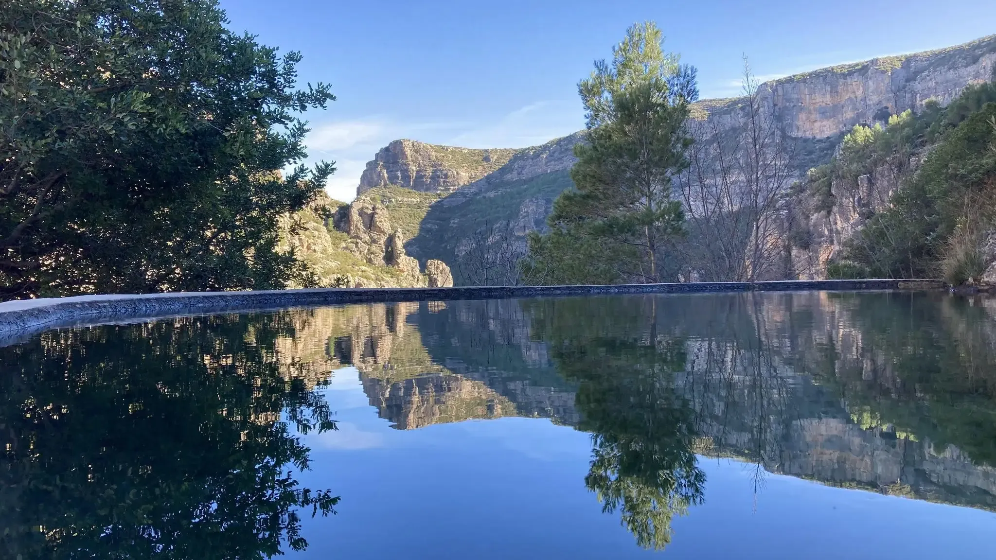
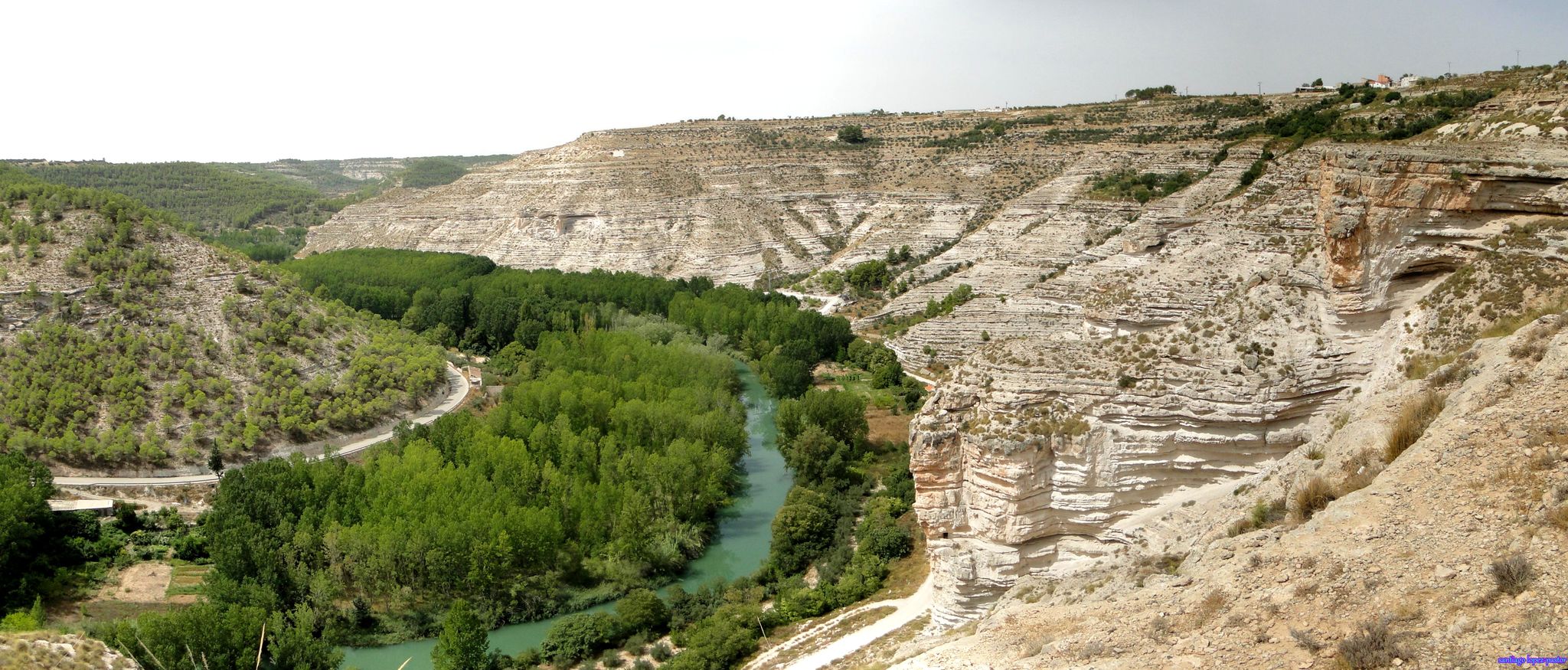
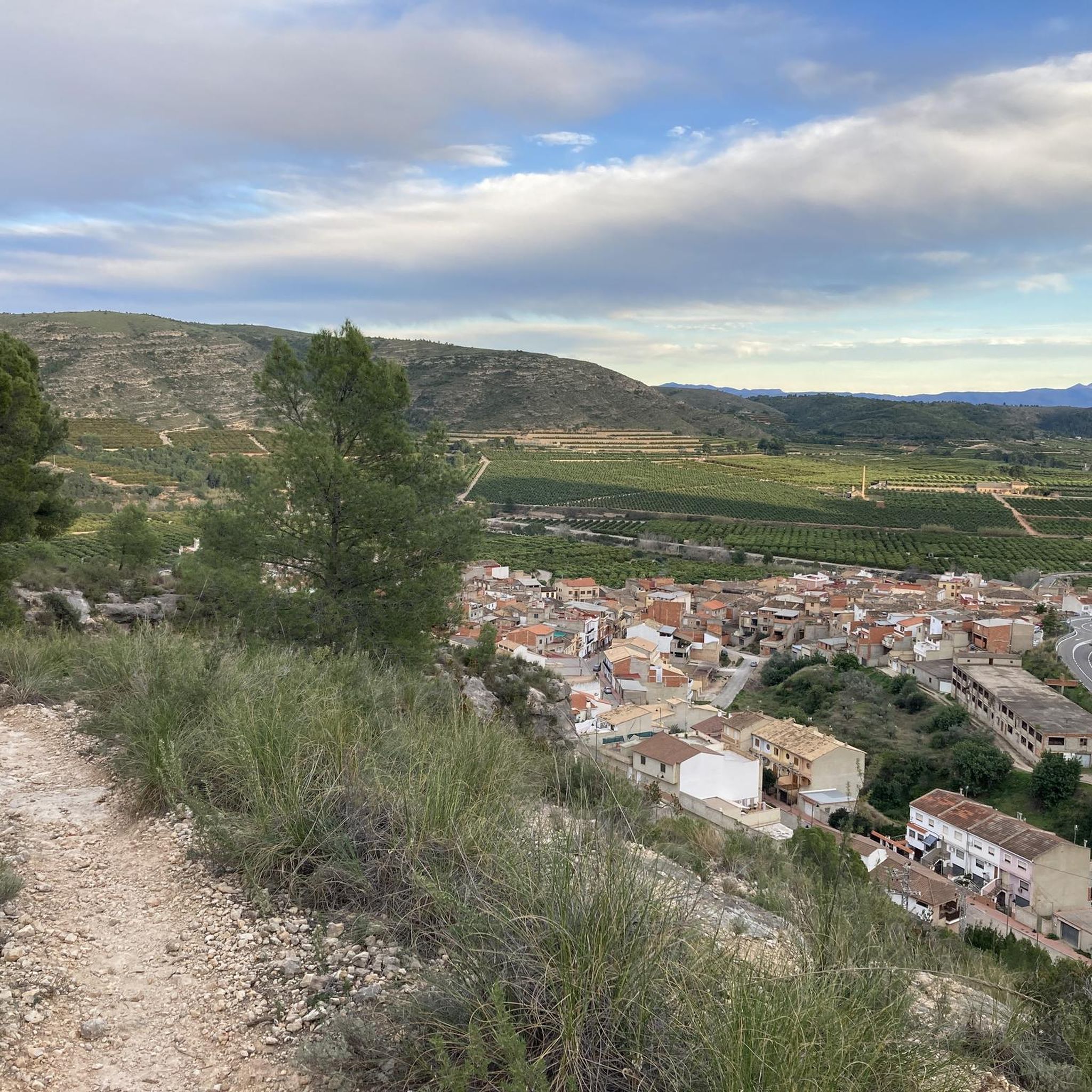
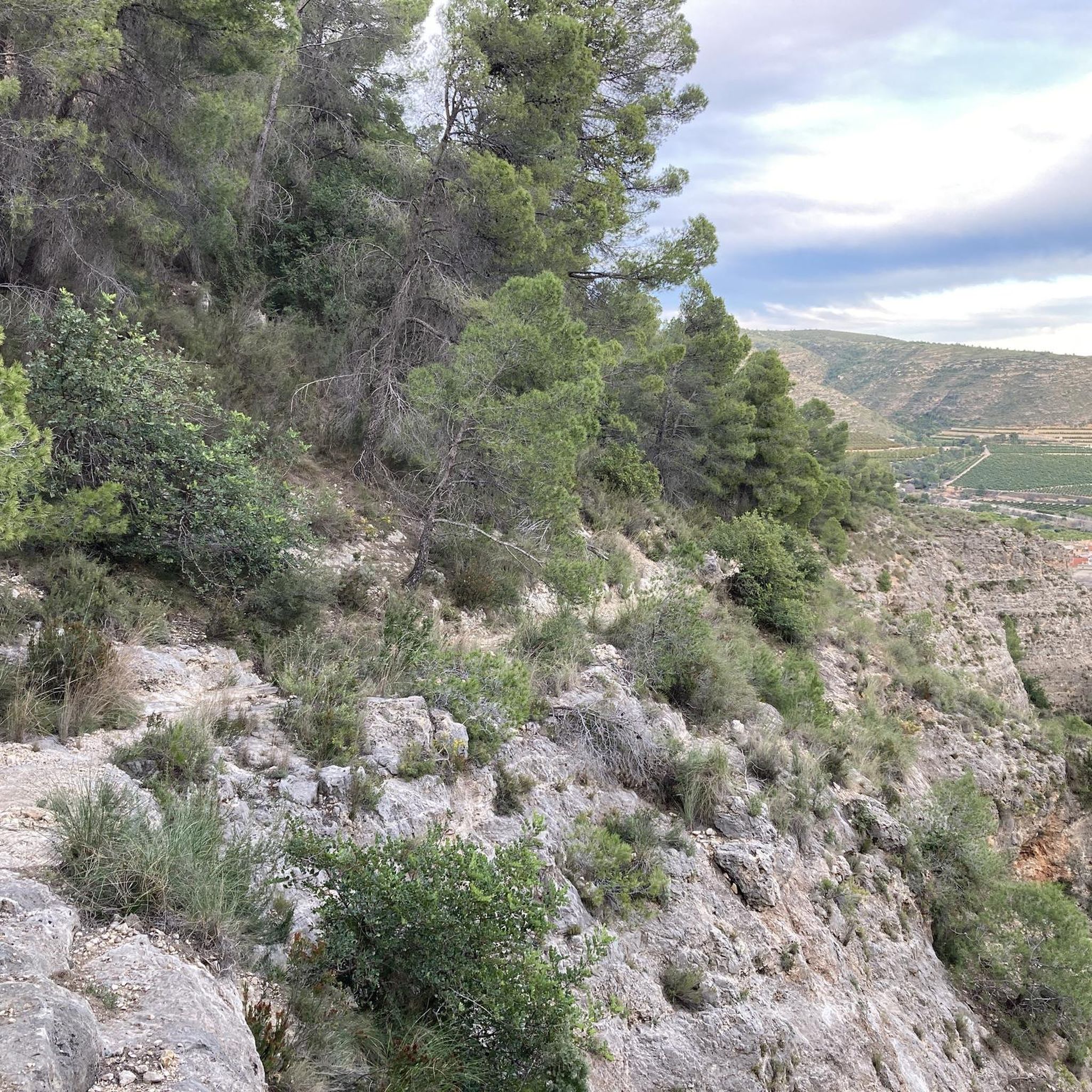
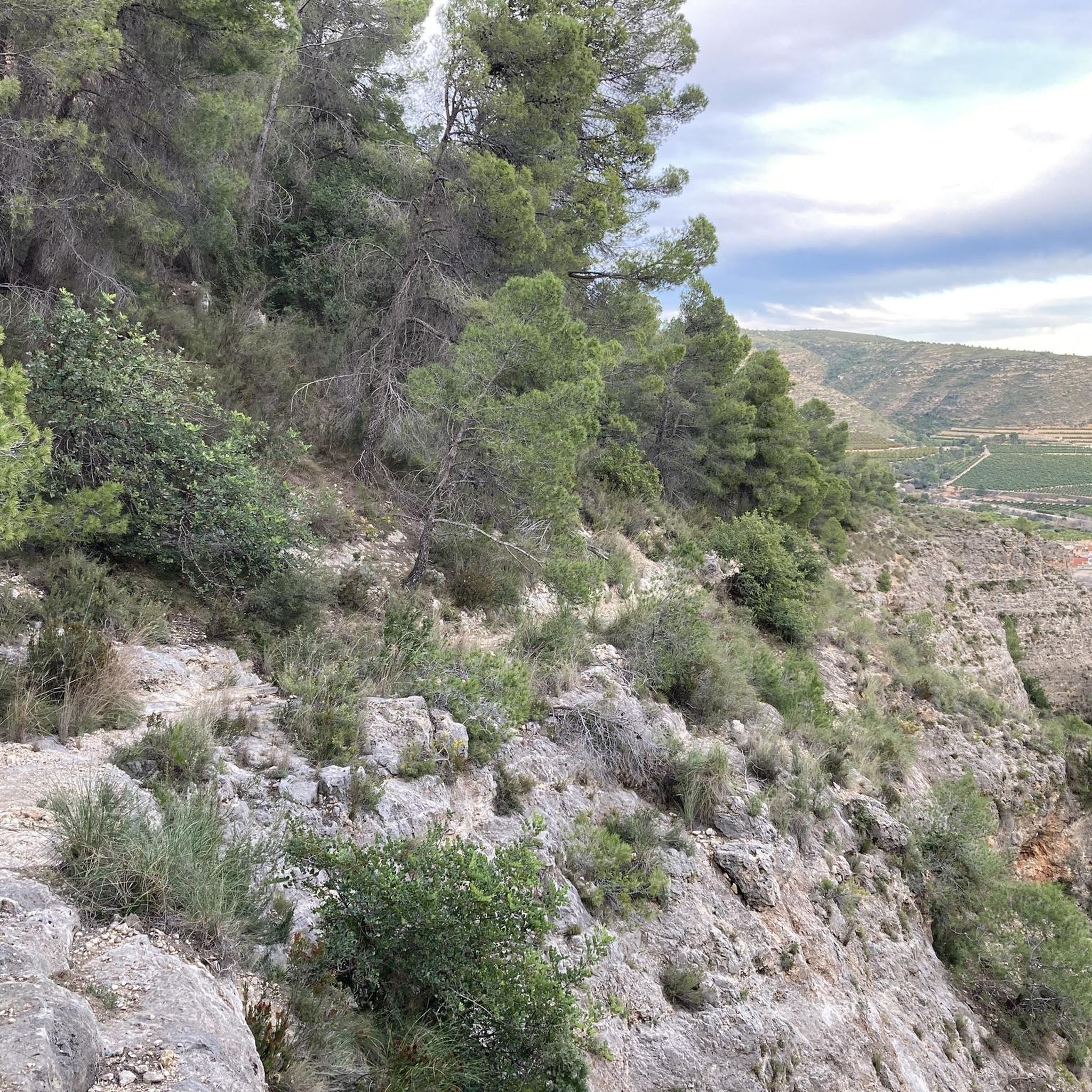
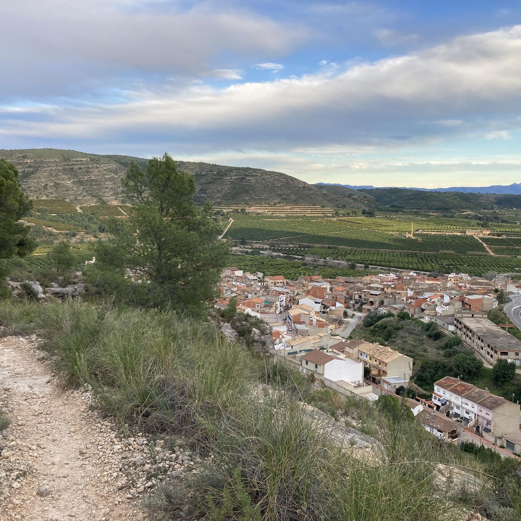

Tips from the Community

Recreational area with tables/benches, trees, shade and paella/barbecue grills.
0
0

A virgin landscape with very steep slopes, especially from north to south.
1
0
Large recreational area with paella pans and tables with benches.
1
0
Pleasant route through a virgin landscape, with very demanding elevation changes, especially if done in a north-south direction.
1
0
Long route parallel to the Júcar-Túria transfer that serves as an artery for numerous routes through the regions of Horta and Ribera.
1
0
Good views of the Ribera Alta, Ribera Baixa and Horta Sud with the Albufera marsh, from a completely unspoilt area.
1
0

The climb has a good asphalt surface, without too much elevation change, and it is worth noting the existence of a detour via an unpaved road from kilometer 9.3 to Sumarcárcel, which we have discarded due to not knowing its condition, given the rains of the previous days.
1
0
Shortcut from the port of Tous to the villages of Antella and Gavarda (old).
1
0
Frequently Asked Questions
How many gravel bike trails are available around Sumacàrcer?
There are over a dozen gravel bike trails around Sumacàrcer, offering a diverse range of experiences for cyclists. The komoot community has explored 12 distinct routes in the area.
What is the general difficulty level of gravel bike trails in Sumacàrcer?
The gravel bike trails around Sumacàrcer primarily range from moderate to difficult. You'll find 5 moderate routes and 7 challenging ones, often featuring significant elevation gains towards regional peaks like Caroche.
Are there any beginner-friendly gravel bike routes near Sumacàrcer?
While many routes are moderate to difficult, the region does offer options that are less strenuous. For a more moderate ride exploring historical sites, consider the Monastery of Aigues Vives – Old narrow-gauge train station loop from Alberic, which covers 27.9 miles (44.9 km) with less elevation.
What is the best time of year for gravel biking in Sumacàrcer?
The best time for gravel biking in Sumacàrcer is typically during spring (March to May) and autumn (September to November). During these seasons, temperatures are milder, and the weather is generally more stable, making for comfortable riding conditions. Summers can be very hot, especially for longer or more exposed routes.
Are there any loop gravel bike trails in Sumacàrcer?
Yes, many of the gravel bike trails around Sumacàrcer are designed as loops. Popular options include the challenging Circular gravel from Quesa to Caroche Peak and the scenic Cotilles Viewpoint – Júcar-Turia Transfer loop from Tous.
What kind of views and natural attractions can I expect along the gravel bike trails?
Gravel biking in Sumacàrcer offers panoramic views of the Valencian countryside, river valleys, and elevated viewpoints. You can also find natural attractions nearby such as the Vikings' Waterfall, the stunning Gorgo de la Escalera, and the tranquil Albufera de Anna lake.
Are there any viewpoints accessible on the gravel bike routes?
Absolutely. Many routes feature elevated viewpoints. For example, the Cotilles Viewpoint – Júcar-Turia Transfer loop from Tous is specifically named for one of its scenic highlights. You can also find the El Salto de Chella Viewpoint nearby.
Are there opportunities for wild swimming near the gravel trails?
Yes, the region offers several natural swimming spots. The Gorgo de la Escalera is a popular gorge with natural pools, and you can also find a Natural pool on the Sellent River in Bolbaite, both within reach of some gravel routes.
What do other gravel bikers say about the trails in Sumacàrcer?
The routes in Sumacàrcer are highly rated by the komoot community, with an average score of 5.0 stars from reviews. Over 40 gravel bikers have used komoot to explore the varied terrain, often praising the challenging climbs and diverse landscapes.
What is the longest gravel bike trail in the Sumacàrcer area?
The longest gravel bike trail listed is the Mortirolo of Quesa – El Caroche Summit loop from Quesa, which spans approximately 65.2 miles (104.9 km) and involves significant elevation gain, making it a demanding ride.
Is there parking available for gravel bikers in Sumacàrcer?
While specific parking areas aren't detailed for each route, Sumacàrcer and surrounding towns like Quesa, Tous, and Alberic typically offer public parking options. It's advisable to check local parking availability near your chosen starting point before your ride.
Are there any routes that pass by lakes or reservoirs?
Yes, some routes are in proximity to water bodies. The Albufera de Anna and the Escalona Reservoir are notable lakes in the area, and the impressive Tous Dam is also a significant landmark you might encounter.
Most popular routes around Sumacàrcer
Most popular attractions around Sumacàrcer

Get inspired with the komoot mobile app


Explore more
Browse the best Gravel rides in other regions.
