The best gravel rides around Ugena
4.7
(4)
99
riders
39
rides
Gravel biking around Ugena, a municipality in Spain's Castile-La Mancha region, offers access to diverse routes within the wider Toledo area. The region is characterized by wide-open spaces and a moderate elevation of approximately 650 meters above sea level. Cyclists can explore varied terrain, including paths along the Tagus River and routes leading to dramatic clay cliffs like the Barrancas de Burujón. The landscape provides a mix of flat sections and gentle ascents suitable for gravel cycling.
Best gravel bike…
Last updated: July 8, 2026
14
riders
58.4km
05:03
450m
450m
Hard gravel ride. Very good fitness required. You may need to push your bike for some segments of this route.
4.0
(2)
15
riders
Moderate gravel ride. Good fitness required. Mostly paved surfaces. Suitable for all skill levels.

Sign up for free
7
riders
34.6km
02:41
140m
140m
Moderate gravel ride. Good fitness required. Mostly paved surfaces. Suitable for all skill levels.
16
riders
42.9km
03:03
160m
160m
Moderate gravel ride. Good fitness required. Mostly paved surfaces. Suitable for all skill levels.
6
riders
Hard gravel ride. Very good fitness required. Mostly paved surfaces. Suitable for all skill levels.
Get access to more routes and recommendations from other explorers.
Sign up for free
Already have an account?
Our route recommendations are based on thousands of hikes, rides, and runs completed by other people on komoot.
Start today with a free account
Your next adventure awaits.
Login or Signup

Tips from the Community

You cannot enter. It can be seen from the outside.
0
0
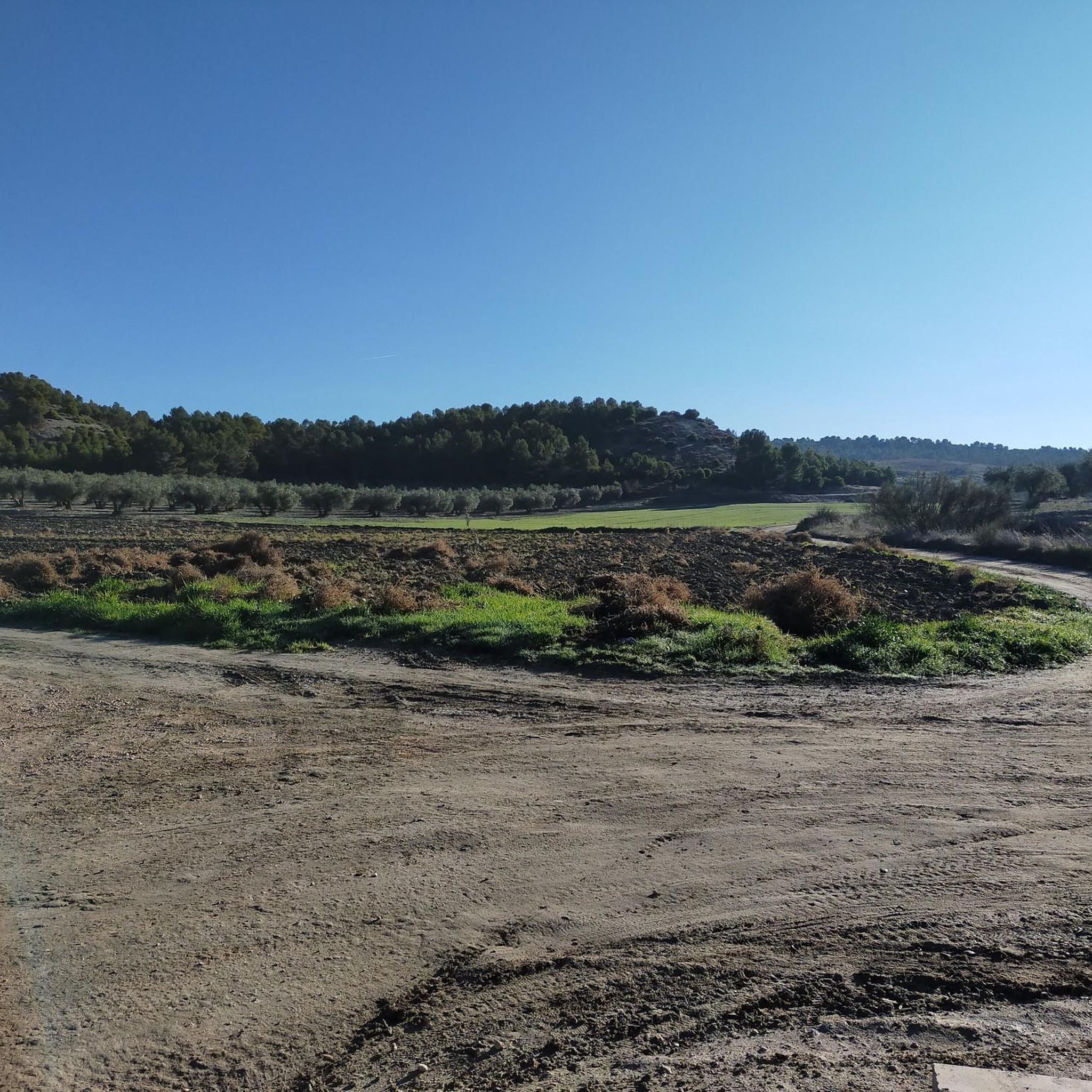
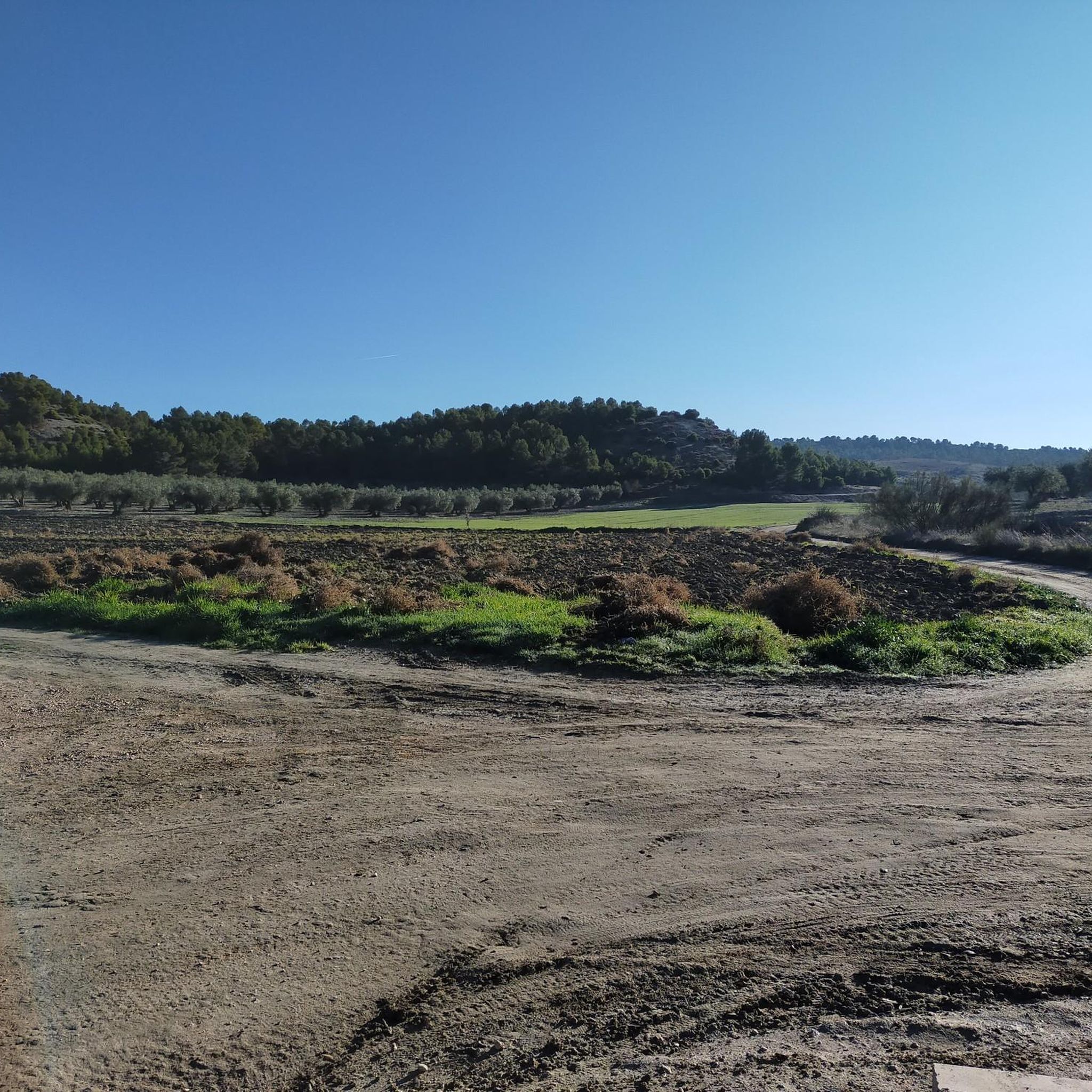
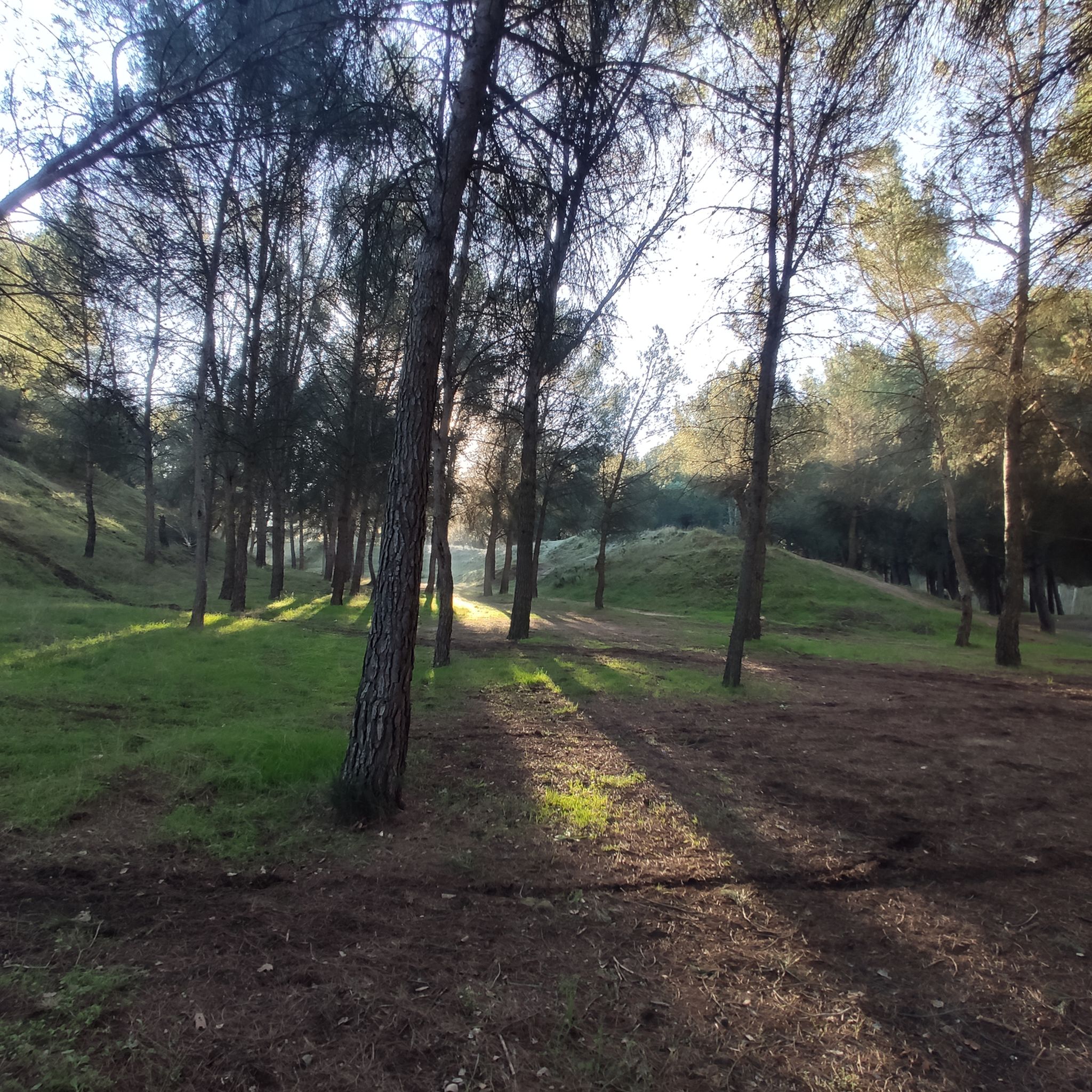
There are many paths for your tours.
0
1

The Surroundings: An immense forest park of 150 hectares housing several bodies of water: the Laguna de Mari Pascuala (the largest and busiest), the Laguna de la Recomba (more natural and tranquil), and the Laguna de los Sisones. Historical Origin: The park occupies the site of the old village of Polvoranca, a medieval settlement that became deserted in the 19th century due to diseases such as the plague and malaria (caused by stagnant water). The Ruins: The symbol of the place is the Church of San Pedro Apóstol (1655), a baroque jewel now in ruins, which fuels legends of a "cursed village" and is a refuge for storks and kestrels. Nature: It is a key point for birdwatching (mallards, coots, grebes) and has a botanical garden with species from five continents.
0
0
lo beupqueño ep nuhabía bajes tnande odlugar so oiruC
0
0

A historic bridge used by the Almorox train line
0
0

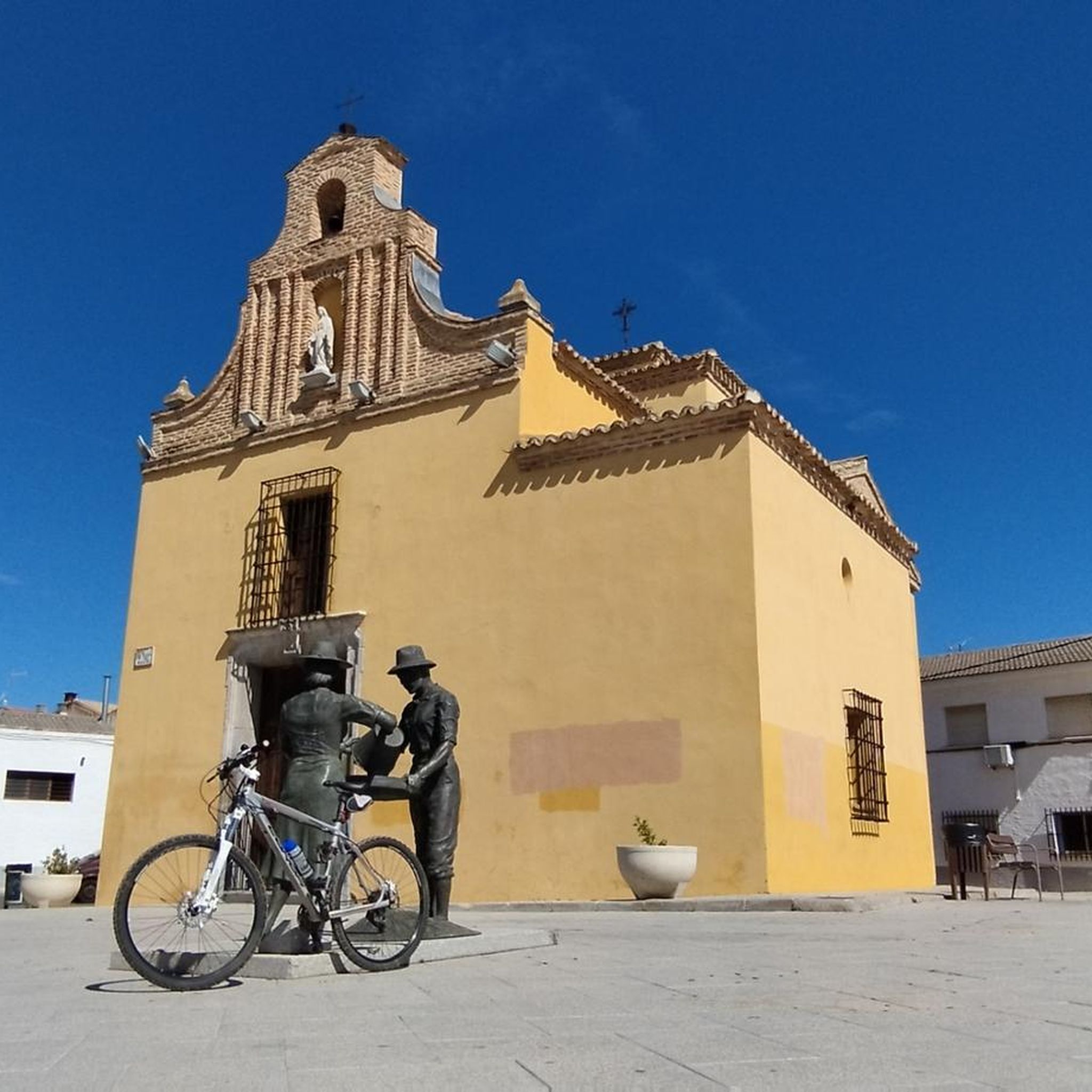
The convent is very beautiful and has a huge elm tree at the entrance, but unfortunately it is dry.
0
0
ruins of the ancient town of Polvoranca from the year 1650
0
1

The Church of San Pedro Apóstol de Polvoranca is a church located in Polvoranca Park, in the municipality of Leganés (Madrid). It dates back to the Modern Age, having been built during the 17th century. It is Baroque in style, despite its Romanesque forms. In 1998, the church was classified as a Protected Building by the Leganés City Council, and in 2014, it was included on the Red List of Heritage due to its long-standing state of disrepair. In 1575, Juan Chacón Ponce de León, of ancient ancestry, and Ana de Ossorio purchased the land from the Count of Orgaz, thus creating the Polvoranca estate, later annexed to the town of Leganés in 1849. After raising sufficient funds with the financial support of church members, Juan Chacón was charged with beginning construction, which was completed in 1655. Although the church is Baroque in style, Art History Professor María Dolores Domech clarifies: "Its semicircular arches indicate Romanesque architecture, although it was built at a later period." The floor plan is a Latin cross with a single nave, consisting of side chapels and a coffered barrel vault. The architects were Francisco de Mora and his nephew, Juan Gómez de Mora, who enjoyed great prestige in the capital because they were part of the Court of the Minor Austrians.[3] It was dedicated to San Cosme and San Damián, but after the subsequent abandonment of the town and therefore of the church, their images were taken to the parish of Leganés until the war broke out, as they were destroyed by the Republican side. Some very fine reproductions still remain.
1
0
Frequently Asked Questions
How many gravel bike trails are available around Ugena?
There are over 35 gravel bike routes around Ugena, offering a wide range of experiences. These include 5 easy routes, 26 moderate routes, and 7 more challenging options for experienced riders.
What is the best time of year for gravel biking in the Ugena region?
The dry days of spring and autumn are highly recommended for gravel biking in the Ugena region due to milder temperatures. Summers can be very hot and are generally not advisable for cycling.
What kind of terrain can I expect on gravel bike trails around Ugena?
The terrain around Ugena is characterized by wide-open spaces typical of Castile-La Mancha, with a moderate elevation. You'll find a mix of flat sections, gentle ascents, and paths along rivers like the Tagus. Some routes may also feature varied landscapes leading to dramatic clay cliffs or through rolling hills.
Are there any challenging gravel bike routes near Ugena?
Yes, for those seeking a challenge, there are 7 difficult gravel routes in the area. One such route is the Cerro de Batallones – Convent of Santa Juana loop from Cubas de la Sagra, which covers 59.1 km with over 450 meters of elevation gain.
What do other gravel bikers say about the routes in Ugena?
The gravel biking routes around Ugena are highly rated by the komoot community, with an average score of 4.7 stars from over 4 reviews. Many riders appreciate the varied terrain and the opportunities to explore the region's wide-open spaces.
Are there any historical or natural landmarks to see along the gravel bike trails?
Yes, the region offers several points of interest. You might encounter historical structures like the Arch of Ugena in nearby Illescas, or natural features such as the Tagus River. Specific highlights along some routes include the Mortirolo Climb of Batres, the Arched Stone Bridge in Casarrubuelos Park, or the Torreón de Arroyomolinos.
Can I find moderate-difficulty gravel routes suitable for a longer ride?
Absolutely. Many of the 26 moderate routes offer substantial distances. For example, the Iron Bridge of Móstoles – Guadarrama River Greenway loop from Cubas de la Sagra is a moderate 52.1 km path that follows the Guadarrama River Greenway.
Are there any gravel routes that start directly from Ugena?
Yes, a popular route that starts directly from Ugena is the Ugena Main Square – El Laguito loop from Ugena. This moderate 34.6 km trail features varied terrain and passes by El Laguito.
What are some natural features I might see while gravel biking in the Toledo province?
Beyond Ugena's immediate vicinity, the wider Toledo province boasts natural areas like Safont Park and Fuente del Moro. The Tagus River is a prominent feature, and routes often allow cyclists to enjoy its serene setting. The spectacular Barrancas de Burujón, clay cliffs formed by erosion, are also accessible in the region.
Are there any circular gravel routes available?
Many of the gravel routes around Ugena are designed as loops, allowing you to start and finish in the same location. Examples include the Ugena Main Square – El Laguito loop from Torrejón de Velasco and the Cerro de Batallones – View of the Countryside loop from Torrejón de Velasco.
Most popular attractions around Ugena

Get inspired with the komoot mobile app


Explore more
Browse the best Gravel rides in other regions.
