The best gravel rides around Cava
5.0
(4)
195
riders
5
rides
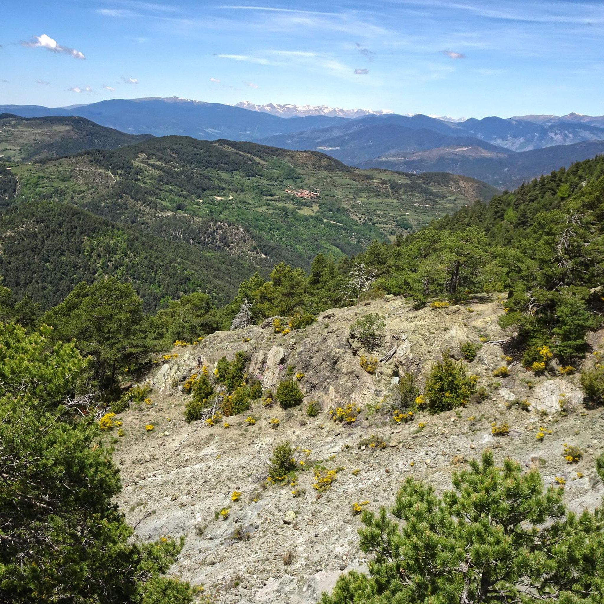
Gravel biking around Cava offers routes through varied mountainous terrain, characterized by significant elevation changes and scenic river valleys. The region features trails that traverse mountain passes and follow natural watercourses. Riders can expect a landscape composed of high-altitude passes, river paths, and trails connecting small towns. These routes provide a challenging experience for gravel cyclists.
Best gravel bike trails around Cava
- The most popular gravel bike trail is Les Bassotes Pass – Coll de Josa (1620 m) loop from…
Last updated: July 8, 2026
44
riders
65.9km
05:33
1,790m
1,790m
Hard gravel ride. Very good fitness required. You may need to push your bike for some segments of this route.
5.0
(2)
34
riders
50.6km
04:23
1,400m
1,400m
Hard gravel ride. Very good fitness required. Mostly paved surfaces. Suitable for all skill levels.

Sign up for free
20
riders
40.0km
03:32
940m
940m
Hard gravel ride. Very good fitness required. Mostly paved surfaces. Suitable for all skill levels.
5.0
(2)
15
riders
35.4km
03:10
920m
920m
Hard gravel ride. Very good fitness required. Mostly paved surfaces. Suitable for all skill levels.
31
riders
40.5km
02:49
780m
780m
Hard gravel ride. Very good fitness required. Mostly paved surfaces. Suitable for all skill levels.
Our route recommendations are based on thousands of hikes, rides, and runs completed by other people on komoot.
Start today with a free account
Your next adventure awaits.
Login or Signup
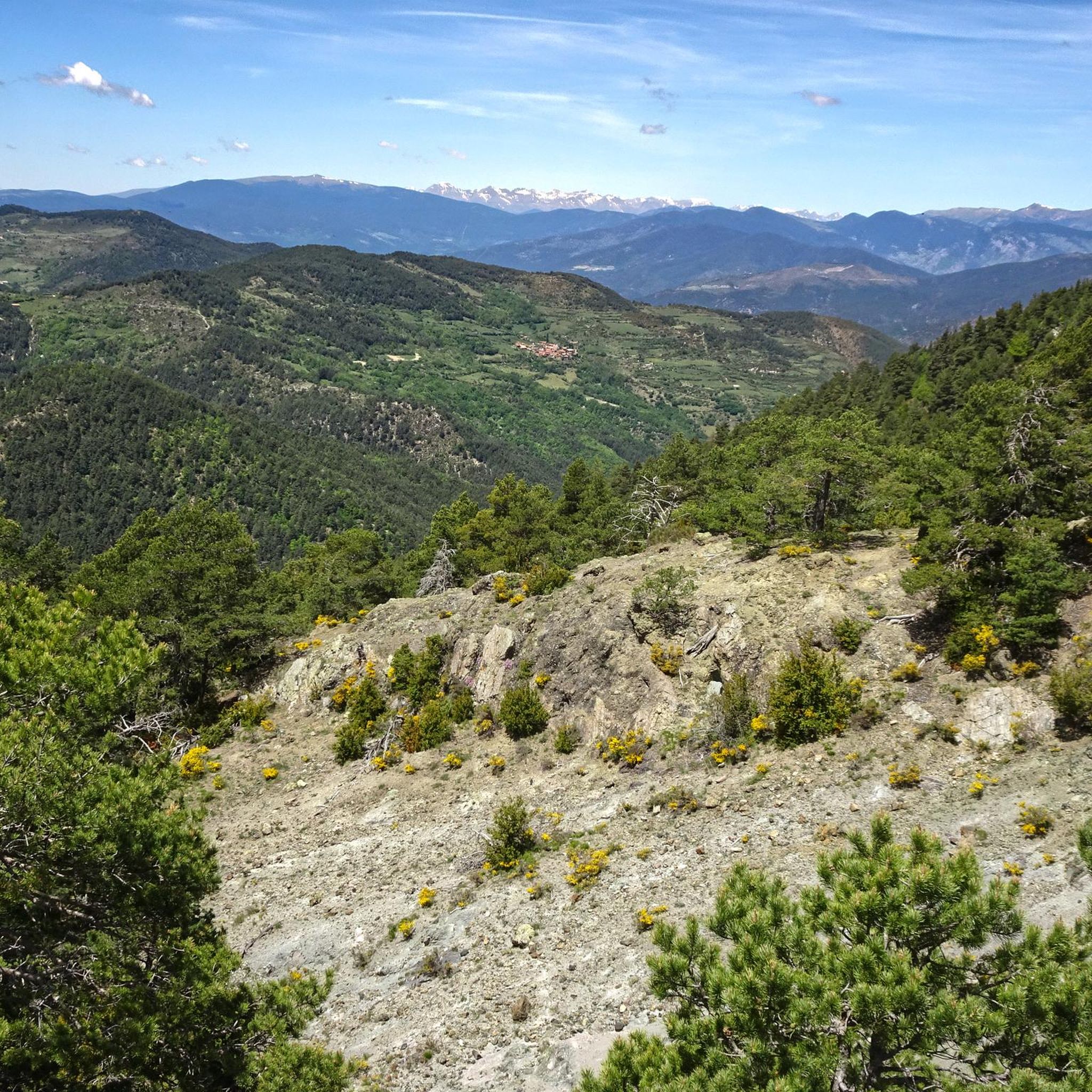
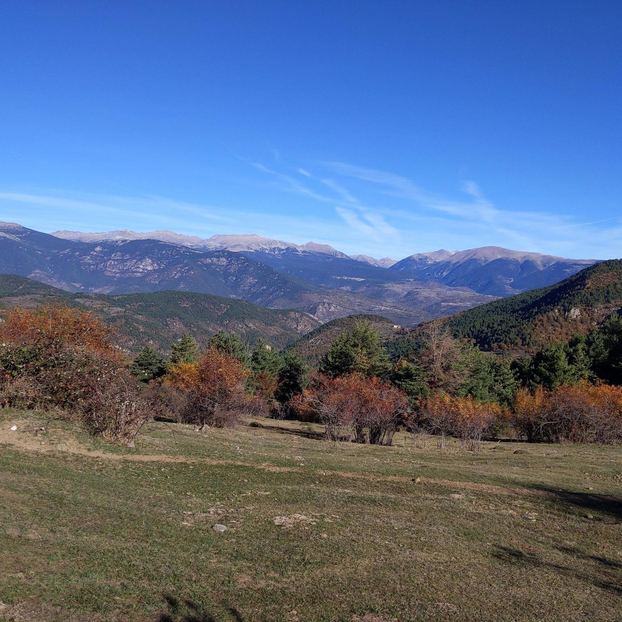
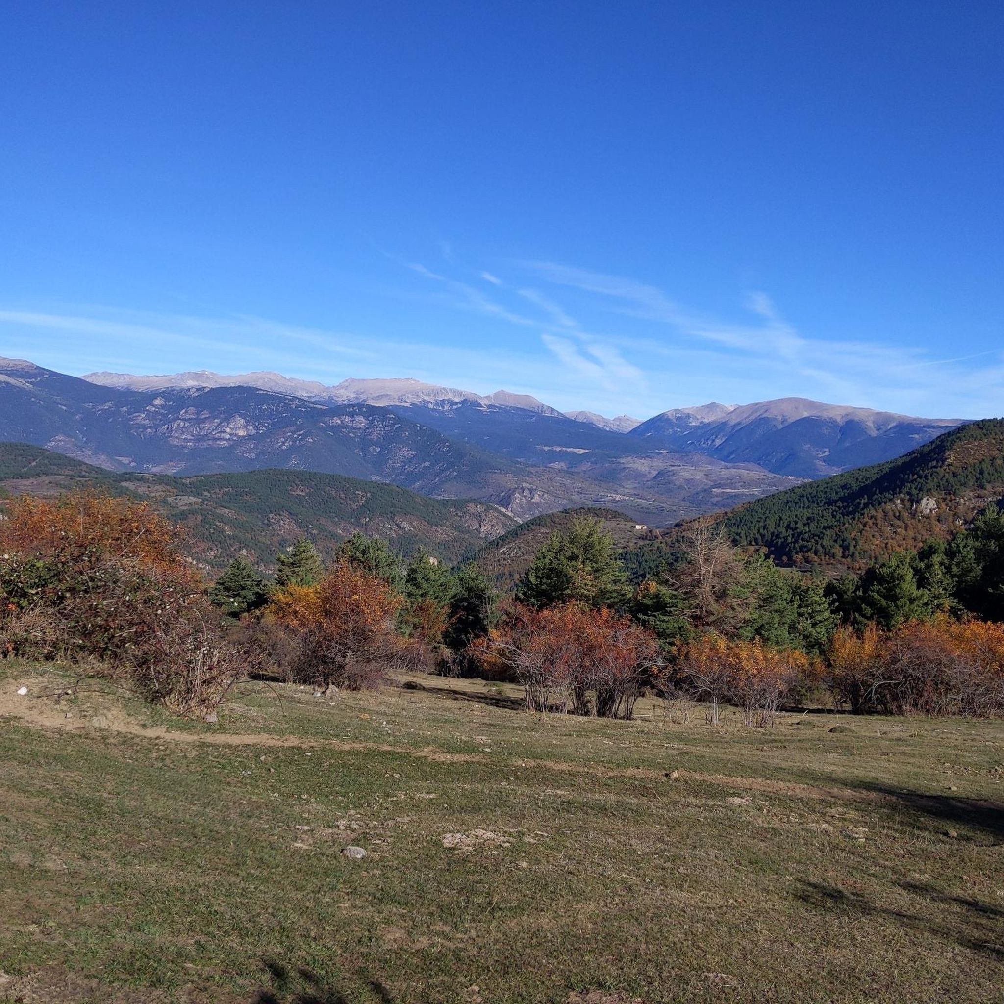
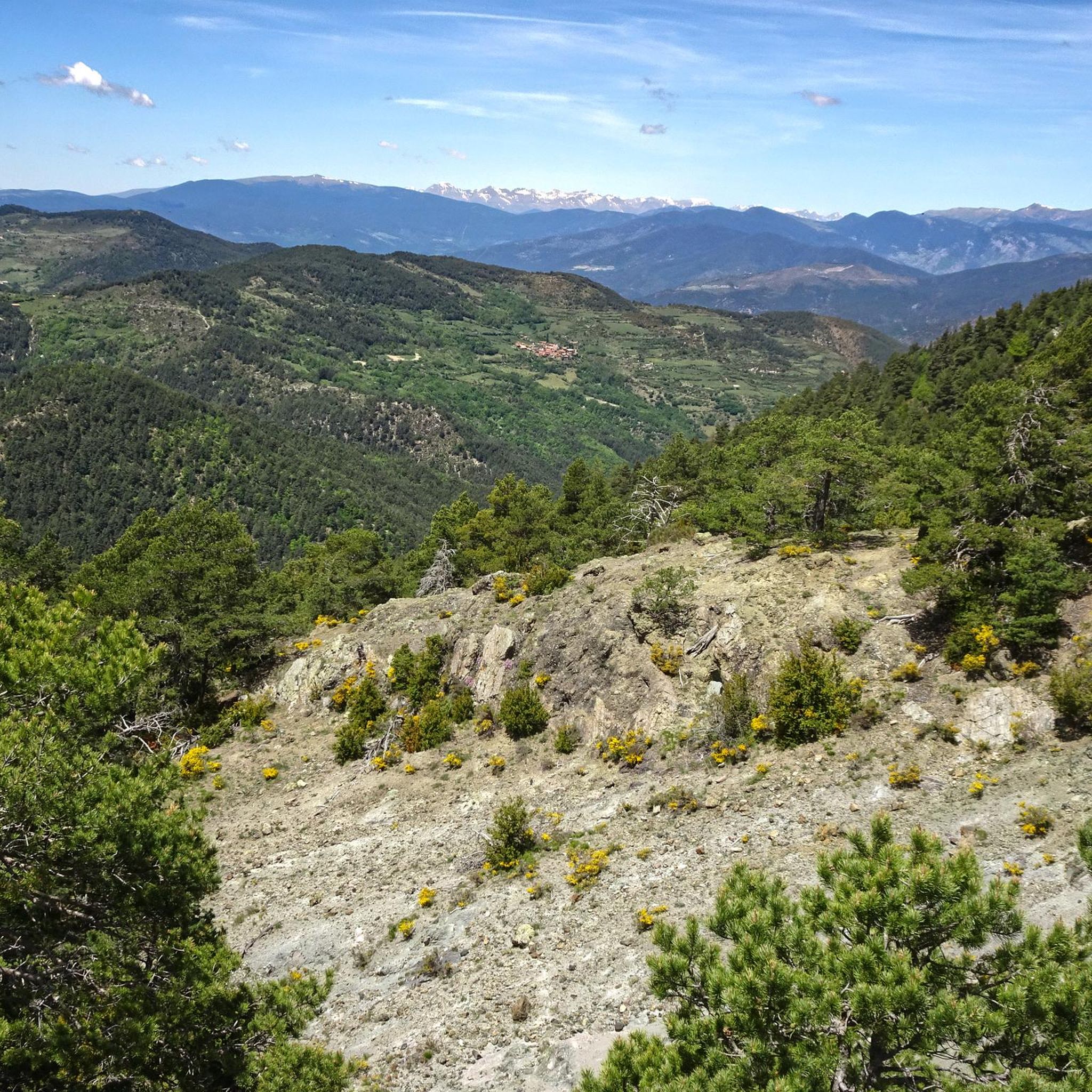

Tips from the Community

The ascent from Martinet to Cap del Rec is a real challenge: a route of only 16.5 km that accumulates almost 1,000 meters of positive elevation gain!
0
0

High mountain crossing point with spectacular views over the Cadí and the Pedraforca massif. The pass marks the boundary between black pine forests and alpine meadows, and is an ideal place to catch your breath before tackling the final climb to the summit. On a mountain bike, the climb is tough and with rocky sections that may require pushing the bike at some points. Tip: slow down and save your energy for the last section; the reward is a panoramic view that will make you forget your tiredness.
0
0
Small mountain village with quiet streets, stone houses and wide views over the Cadí. It maintains the charm of the old towns of the Pyrenees, with the sound of bells and the smell of firewood in winter. Perfect spot to take a break or load up on water before heading up to the high-altitude slopes. By mountain bike, the access from Arsèguel or Toloriu combines sections of fast track with some short but intense downhill sections. Tip: save some energy, because the exits from the village always go uphill and the views deserve to arrive with air to look at them without rushing.
0
0
A small Romanesque gem located on a hill with open views over the Segre valley. The surroundings are quiet and peaceful, surrounded by meadows and forests that change color with the seasons. The hermitage preserves the simplicity of the mountain and invites you to take a brief contemplative break. By mountain bike, you can reach it by track with some rocky but cycleable sections; ideal for resting, eating something and enjoying the silence before continuing the route. Tip: bring a camera, the afternoon light makes the stone shine as if it were old gold.
1
0
A jewel of Catalan Romanesque architecture and one of the most impressive in the Pyrenees. Its austere façade, stone cloister and the silence of the interior convey history and serenity in equal parts. Located in the heart of La Seu, surrounded by lively streets, terraces and shops. By mountain bike, it is a perfect cultural stop before or after a route through the Cadí or Segre: there are bike parking spaces nearby and fountains to fill your tank. Tip: avoid peak hours and get there early or at dusk, when the light caresses the stone and the atmosphere is pure charm.
0
0
Aransa Station Parking (Lles de Cerdanya). The perfect starting point for mountain biking and hiking routes through the Cadí-Moixeró Natural Park. Located at approximately 1,550 meters, the parking area offers ample space, nearby water fountains, and open views of the valley. In summer, it's quiet and ideal for starting climbs towards the Pradell Refuge or the Estanys de la Pera lakes. For mountain biking, the start is direct and somewhat demanding: a wide track with a continuous incline. Tip: warm up well before leaving the pavement, pace yourself, and conserve energy, as the initial climbs can be punishing if you start too fast.
0
0
Located at an altitude of 1,960 meters, this refuge is a key point for cyclists and hikers heading towards the Tossa Plana de Lles or the Nordic ski slopes. The refuge combines a mountain atmosphere with comfortable amenities: a bar, a dining room, and a terrace with open views of the Cadí mountain range. It's a good place to stop, have a hot meal, or adjust your bike before continuing the climb. For mountain biking, the track from Lles has an uneven surface and rocky sections; tires with good grip are recommended, as is maintaining a constant cadence, especially on the final bends where the gradient is noticeable.
0
0
Font de Viliella (Lles de Cerdanya). A small hidden gem in the heart of the village, under a stone porch with a tiled roof, so typical of the Cerdanya region. Fresh water flows between ancient walls, with a half-erased inscription that hints at its history. Ideal for filling your water bottle and taking a breath of fresh air before continuing your ride up the slopes of the Pyrenees. If you're on a mountain bike, be careful on the uphill section from Prullans: it's short but steep and has loose stones; it's best to take it easy and at a leisurely pace, as the spring deserves to be enjoyed when you arrive with plenty of breath.
0
0
Frequently Asked Questions
How many gravel bike trails are available in Cava?
There are currently 6 gravel bike routes available in the Cava region on komoot. All of these routes are categorized as difficult, offering a challenging experience for riders.
Are there any easy gravel bike trails in Cava for beginners?
The gravel biking routes around Cava are primarily designed for experienced riders, featuring significant elevation changes and mountainous terrain. All 6 routes listed are rated as difficult, so beginners may find them challenging.
What are the typical distances and durations for gravel bike routes in Cava?
Gravel bike routes in Cava vary in length and duration. For example, the Les Bassotes Pass – Coll de Josa loop from Gósol is approximately 40.9 miles (65.9 km) and takes around 6 hours 50 minutes. Shorter options like the Vilanova de Banat – Segre River Path loop from Alàs cover about 21.9 miles (35.3 km) and typically take around 3 hours 15 minutes.
Are there circular gravel bike routes in Cava?
Yes, all the gravel bike routes listed for Cava are circular loops. This allows you to start and finish at the same point, such as the Estret d'Isòvol Trail – Bellver de Cerdanya loop from Pi or the Cap del Rec Refuge – Cap del Rec Refuge loop from Martinet.
What kind of terrain can I expect on gravel bike trails around Cava?
The terrain around Cava is varied and mountainous, characterized by high-altitude passes, scenic river valleys, and trails connecting small towns. You'll encounter significant elevation changes, making for a challenging and rewarding gravel biking experience.
What are some interesting places to explore or landmarks along the gravel bike trails in Cava?
Many routes pass by or near notable landmarks and natural features. You can explore mountain passes like Coll de Port, Gosolans Pass, or El Collell Pass. There are also refuges such as Cap del Rec Refuge and viewpoints like Cadí Meadow (1,880 m).
What is the best season for gravel biking in Cava?
Given the mountainous terrain and high-altitude passes, the best seasons for gravel biking in Cava are typically late spring, summer, and early autumn. During these months, you'll generally find more favorable weather conditions and less chance of snow or ice at higher elevations. Winter can be challenging due to snow and colder temperatures.
Are there any cafes or places to stop for refreshments along the routes?
While specific cafes are not detailed for every route, many trails connect small towns or pass near refuges. It's advisable to check the route details on komoot or plan your stops in advance, especially on longer rides, to ensure you have access to refreshments.
What do other gravel bikers say about the trails in Cava?
The gravel biking routes in Cava are highly rated by the komoot community, with an average score of 5.0 stars from over 2 reviews. More than 150 gravel bikers have used komoot to explore Cava's varied terrain, often praising the challenging mountain passes and scenic river paths.
Are the gravel bike trails in Cava suitable for families?
Due to the difficult rating and significant elevation changes across all available routes, the gravel bike trails in Cava are generally not recommended for families with young children or those seeking very easy, flat rides. They are better suited for experienced riders looking for a challenge.
What are the most challenging gravel bike routes in Cava?
All 6 gravel bike routes in Cava are rated as difficult. The Les Bassotes Pass – Coll de Josa (1620 m) loop from Gósol stands out as one of the most demanding, covering nearly 66 km with over 1700 meters of elevation gain.
Can I access gravel bike trails in Cava using public transport?
Accessing the starting points of gravel bike trails in Cava primarily relies on personal transport due to the region's mountainous and rural nature. While some larger towns might have limited bus services, direct public transport links to all trailheads are not common. It's recommended to check local transport schedules if you plan to use public transport.
Is parking available near the gravel bike trails in Cava?
Parking availability varies by trailhead. Many routes start from small towns or villages where street parking or small public car parks may be available. For routes starting from more remote locations, roadside parking might be an option. Always ensure you park responsibly and legally.
Most popular attractions around Cava

Get inspired with the komoot mobile app


Explore more
Browse the best Gravel rides in other regions.
