The best gravel rides around Allariz
5.0
(1)
18
riders
7
rides
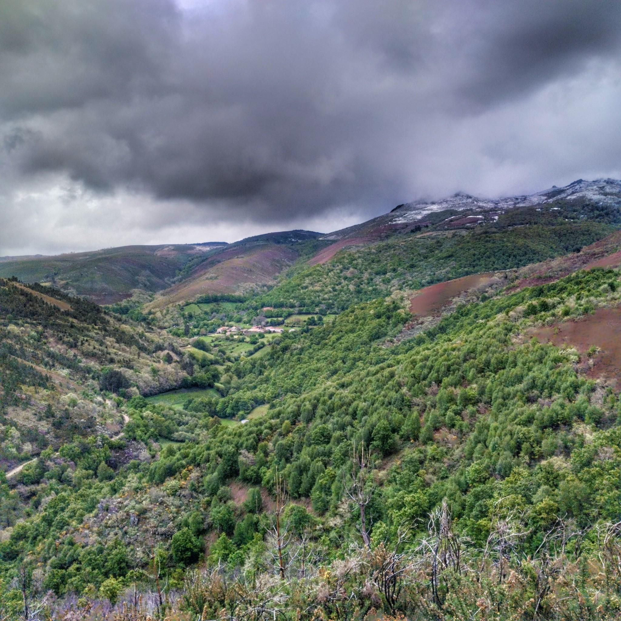
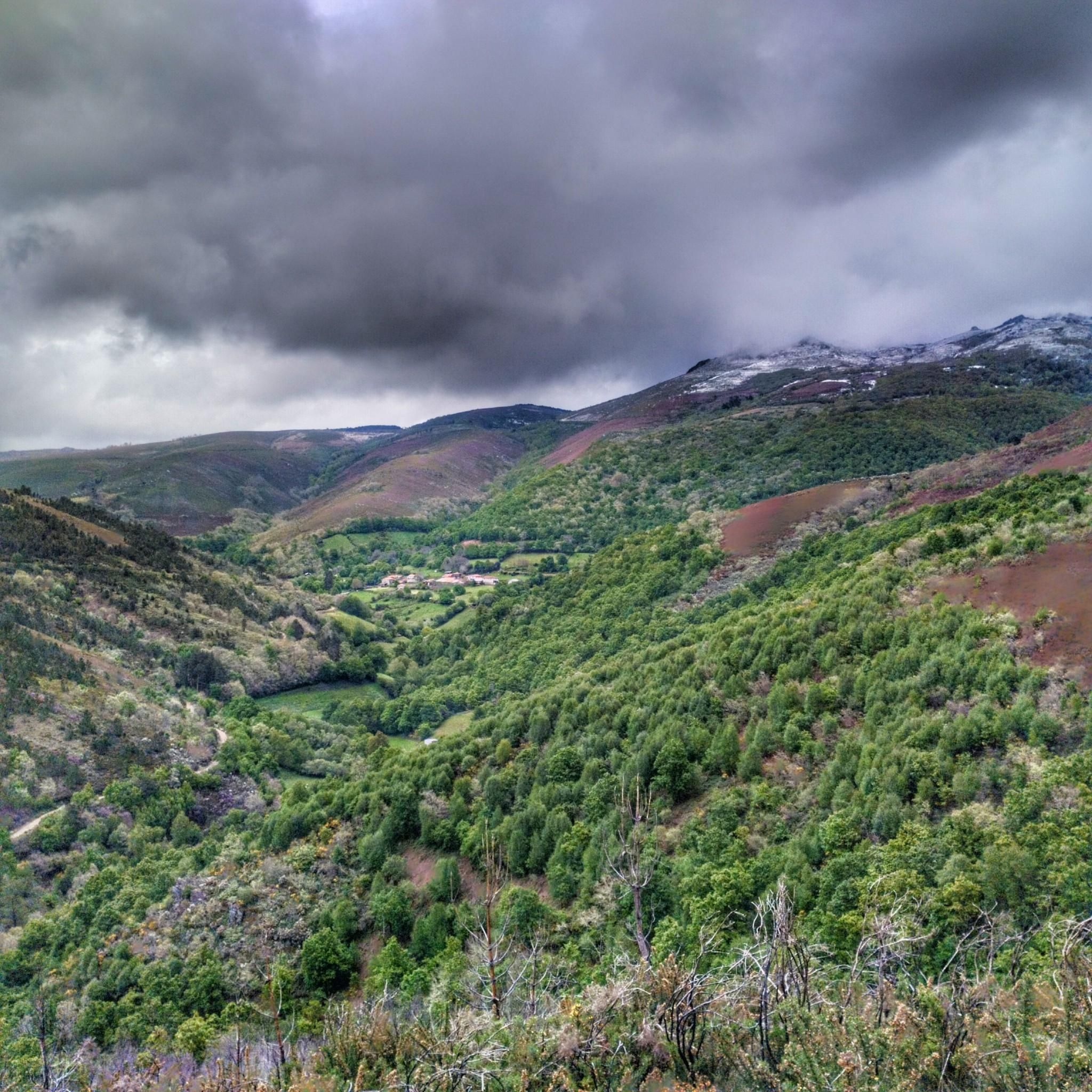
Gravel biking around Allariz features a landscape characterized by rolling hills and significant elevation changes, with routes often traversing river valleys and forested areas. The region's terrain includes a mix of paved and unpaved surfaces, suitable for gravel bikes. The area is part of a UNESCO Biosphere Reserve, offering diverse landscapes such as river plains ("Veigas"), cultivated fields interspersed with woods ("Touzas"), and mixed oak forests ("Sebes"). Many trails incorporate natural features like waterfalls and reservoirs, alongside historical elements such…
Last updated: July 15, 2026
5.0
(1)
3
riders
18.9km
01:22
240m
240m
Moderate gravel ride. Good fitness required. Mostly paved surfaces. Suitable for all skill levels.
2
riders
47.7km
03:19
790m
790m
Hard gravel ride. Very good fitness required. Mostly paved surfaces. Suitable for all skill levels.

Sign up for free
2
riders
35.5km
02:35
590m
590m
Hard gravel ride. Very good fitness required. You may need to push your bike for some segments of this route.
2
riders
44.9km
03:04
680m
680m
Hard gravel ride. Very good fitness required. Mostly paved surfaces. Suitable for all skill levels.
2
riders
31.3km
02:18
600m
600m
Hard gravel ride. Very good fitness required. Mostly paved surfaces. Suitable for all skill levels.
Get access to more routes and recommendations from other explorers.
Sign up for free
Already have an account?
Our route recommendations are based on thousands of hikes, rides, and runs completed by other people on komoot.
Start today with a free account
Your next adventure awaits.
Login or Signup

Tips from the Community

Ourense's Plaza Mayor is one of the most emblematic spaces in the historic center: It's a porticoed square with a slight incline, making it unique in Galicia. The slope is used to create a very photogenic perspective. Since the Middle Ages, it has been the city's administrative and social center. Markets, public events, and neighborhood meetings were held here. Notable buildings: City Hall: a 19th-century neoclassical building with an elegant façade and balconies. Palaces and noble houses: several properties with heraldic shields and typical Galician galleries.
2
0
They are located in the historic center of Ourense, on Rúa das Burgas / Praza das Burgas, next to the Barbaña River. They are perfectly integrated into the urban environment, near the Cathedral and the Roman Bridge. Explored since Roman times, these waters were the origin of the city (Aquis Auriensis), and the remains include a 1st-century AD pool-sanctuary and votive stones dedicated to an indigenous deity. The water flows at approximately 64–68°C, with a flow rate of about 300 liters per minute. Rich in minerals such as metasilicates, fluoride, lithium, bicarbonate, and sodium, they are recommended for pruritic skin conditions and rheumatism. Recent studies support their beneficial effect on acne after washing with thermal water.
2
0
Location: in the municipality of Pereiro de Aguiar (Ourense), on the Loña River, a tributary of the Miño. Uses: water supply, irrigation, hydroelectric power generation, fishing; it is not navigable or suitable for swimming. Circular walk: approximately 4 km (3.7 km to be exact), easy difficulty, ideal for families and dogs—although they must be kept on a leash—offering shade, rest areas, and beautiful views.
1
0
Location: in the municipality of Pereiro de Aguiar (Ourense), on the Loña River, a tributary of the Miño. Uses: water supply, irrigation, hydroelectric power generation, fishing; it is not navigable or suitable for swimming. Circular walk: approximately 4 km (3.7 km to be exact), easy difficulty, ideal for families and dogs—although they must be kept on a leash—offering shade, rest areas, and beautiful views.
1
0


Beautiful local recreation area 🤙
2
0
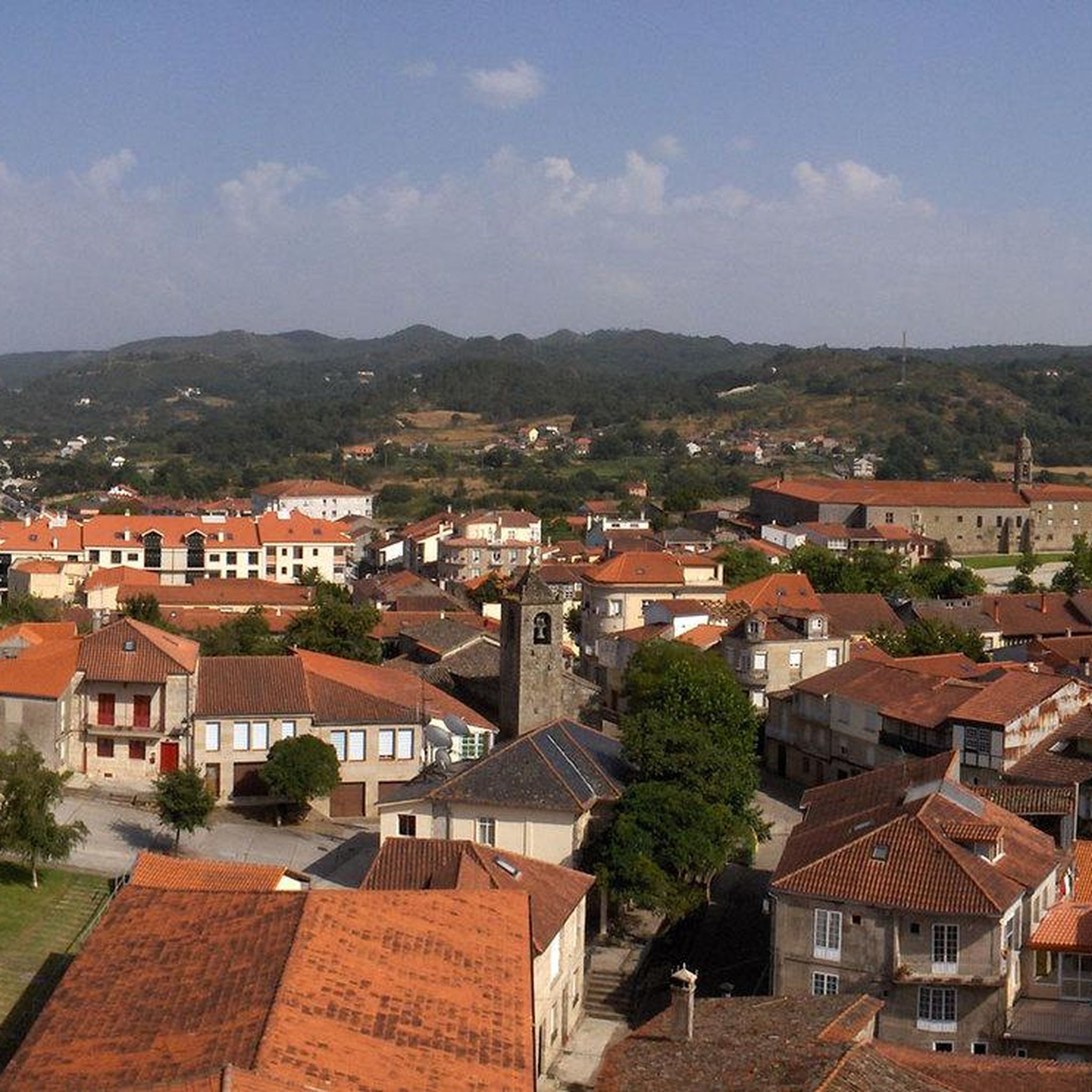
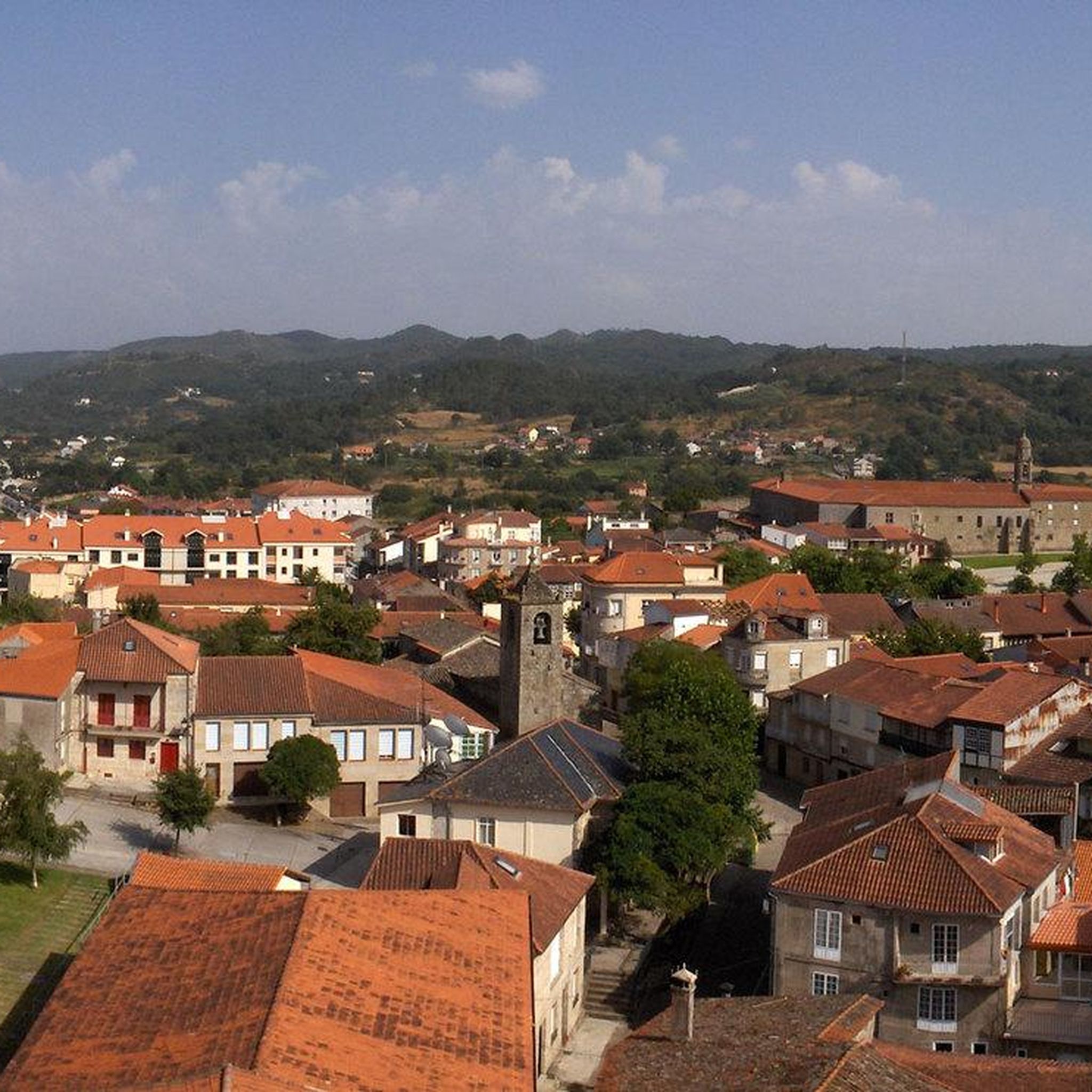
Romanesque cathedral 🤙
0
1
Frequently Asked Questions
What is the general difficulty level of gravel bike trails around Allariz?
Gravel biking around Allariz is characterized by hilly terrain and significant elevation changes. While there is one moderate route, the majority of the 8 available trails are classified as difficult, offering a challenge for experienced riders.
Are there any easy gravel bike trails suitable for beginners in Allariz?
The gravel biking routes in Allariz tend to be more challenging due to the hilly terrain. There is one moderate route, the A Boutureira Waterfall loop from A Merca, which covers 18.9 km and takes about 1 hour 22 minutes. Most other trails are rated difficult.
What kind of scenery can I expect on gravel bike routes near Allariz?
The routes often traverse picturesque river valleys and dense forested areas, featuring a mix of paved and unpaved surfaces. You'll encounter natural highlights like waterfalls and reservoirs, alongside historical elements such as Roman bridges. The region's rolling hills provide diverse and scenic backdrops for your ride.
Are there any circular gravel bike routes available in Allariz?
Yes, all the gravel bike routes listed for Allariz are circular loops. For example, you can explore the Allariz Roman Bridge loop from Mármoles, or the longer Main Square of Ourense – Millennium Bridge loop from ENIL Voutureira.
What are some interesting landmarks or natural attractions to see along the gravel bike trails?
Many routes incorporate notable sights. You can visit the scenic A Boutureira Waterfall, or pass by the historic Freixo Roman Bridge. The Cachamuíña Reservoir loop from Tanatorio takes you past the tranquil Cachamuíña Reservoir.
How long are the gravel bike trails in Allariz?
The gravel bike trails around Allariz vary in length. The shortest route, the A Boutureira Waterfall loop from A Merca, is 18.9 km. Longer options include the Allariz Roman Bridge loop from Mármoles at 47.9 km, and the Main Square of Ourense – Millennium Bridge loop from ENIL Voutureira, which is 67.3 km.
What do other gravel bikers say about the trails in Allariz?
The gravel biking routes in Allariz are highly rated by the komoot community, holding an average score of 5.0 stars. Riders often praise the varied terrain, the scenic river valleys, and the challenging climbs that characterize the area.
Are there any particularly challenging gravel biking routes in Allariz?
Yes, the majority of gravel routes in Allariz are considered difficult. For a significant challenge, consider the Main Square of Ourense – Millennium Bridge loop from ENIL Voutureira, which is 67.3 km long and features over 1000 meters of elevation gain. Another demanding option is the Cachamuíña Reservoir loop from Tanatorio.
What is the best season for gravel biking in Allariz?
While specific seasonal data isn't provided, the region's landscape of rolling hills, river valleys, and forested areas suggests that spring and autumn would offer pleasant temperatures and vibrant scenery. Summer might be warm, and winter could bring cooler, potentially wetter conditions, so checking local weather is always recommended.
How many gravel bike trails are available in the Allariz area?
There are 8 distinct gravel bike trails available for exploration around Allariz, offering a range of distances and difficulties for riders.
Are there any routes that pass by historical sites or ancient structures?
Absolutely. The Allariz Roman Bridge loop from Mármoles is a prime example, taking you past a significant historic Roman bridge. You can also find other historical points of interest like the Castro de Santomé in the wider region.
Most popular attractions around Allariz

Get inspired with the komoot mobile app


Explore more
Browse the best Gravel rides in other regions.
