The best gravel rides around Sarrión
4.5
(2)
106
riders
12
rides
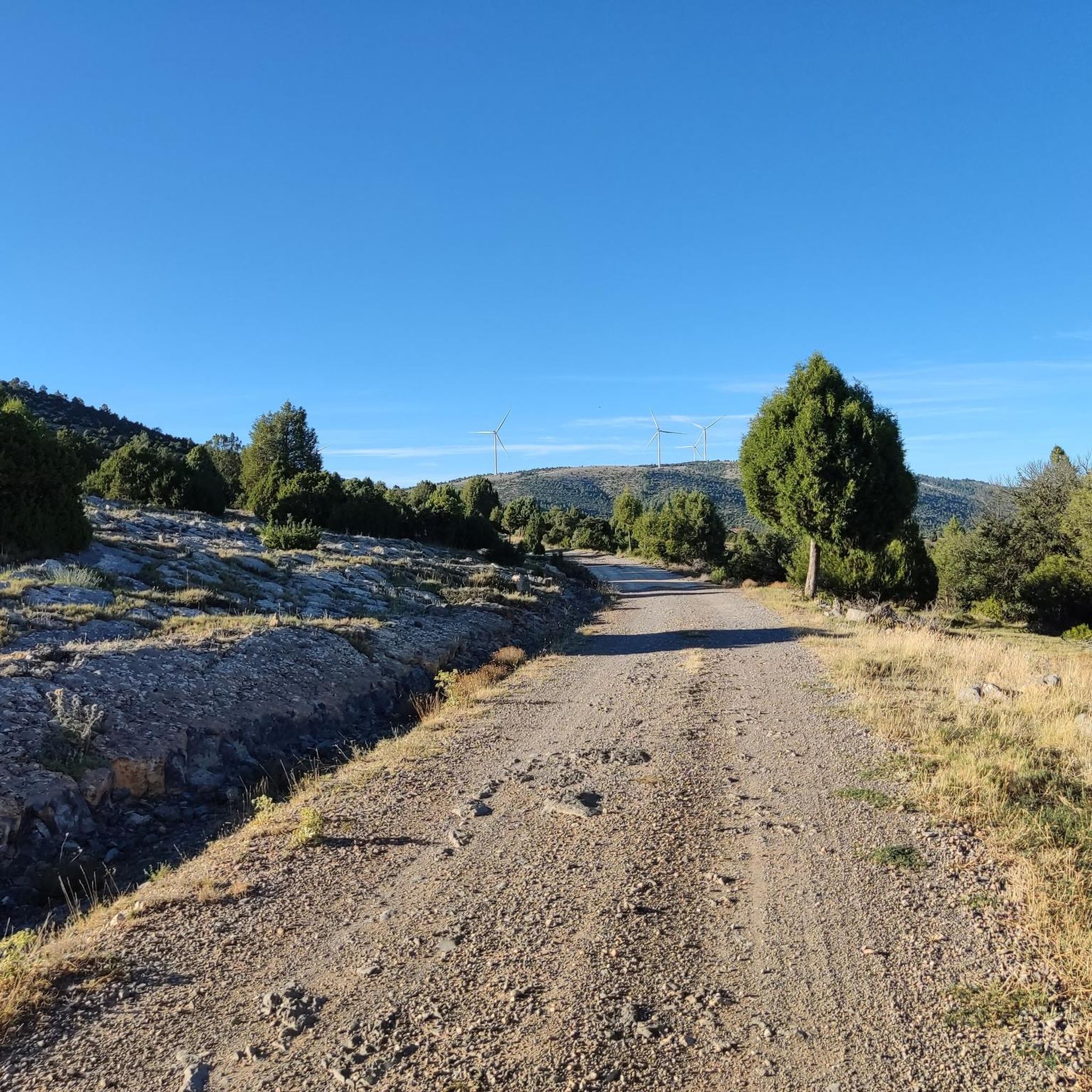
Gravel biking around Sarrión features a landscape characterized by the mountainous Sierra de Javalambre and Sierra de Gúdar ranges, offering significant elevation changes. The region includes extensive forests of pines, oaks, and junipers, alongside valleys and river areas. This terrain provides varied and visually interesting routes for gravel cyclists.
Best gravel bike trails around Sarrión
- The most popular gravel bike trail is Mora de Rubielos Castle – Valdelinares Ski Resort loop from Mora de Rubielos, a 62.5 miles (100.6…
Last updated: July 15, 2026
68
riders
100km
07:48
2,030m
2,030m
Hard gravel ride. Very good fitness required. Mostly paved surfaces. Suitable for all skill levels.
6
riders
96.2km
07:56
1,920m
1,920m
Hard gravel ride. Very good fitness required. Mostly paved surfaces. Suitable for all skill levels.

Sign up for free
5.0
(1)
7
riders
129km
08:03
1,320m
1,320m
Hard gravel ride. Very good fitness required. Mostly paved surfaces. Suitable for all skill levels.
4.0
(1)
7
riders
80.4km
04:49
660m
660m
Hard gravel ride. Very good fitness required. Mostly paved surfaces. Suitable for all skill levels.
2
riders
Hard gravel ride. Very good fitness required. Mostly paved surfaces. Suitable for all skill levels.
Get access to more routes and recommendations from other explorers.
Sign up for free
Already have an account?
Our route recommendations are based on thousands of hikes, rides, and runs completed by other people on komoot.
Start today with a free account
Your next adventure awaits.
Login or Signup
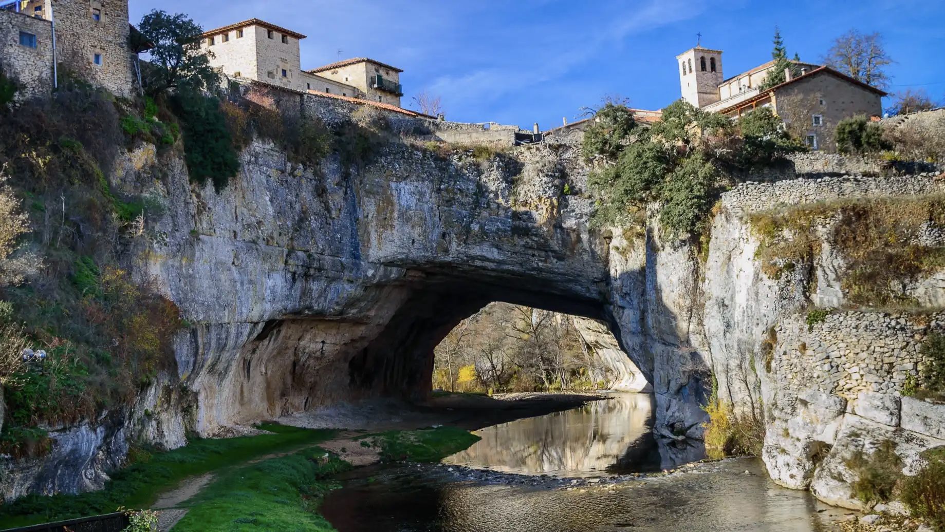
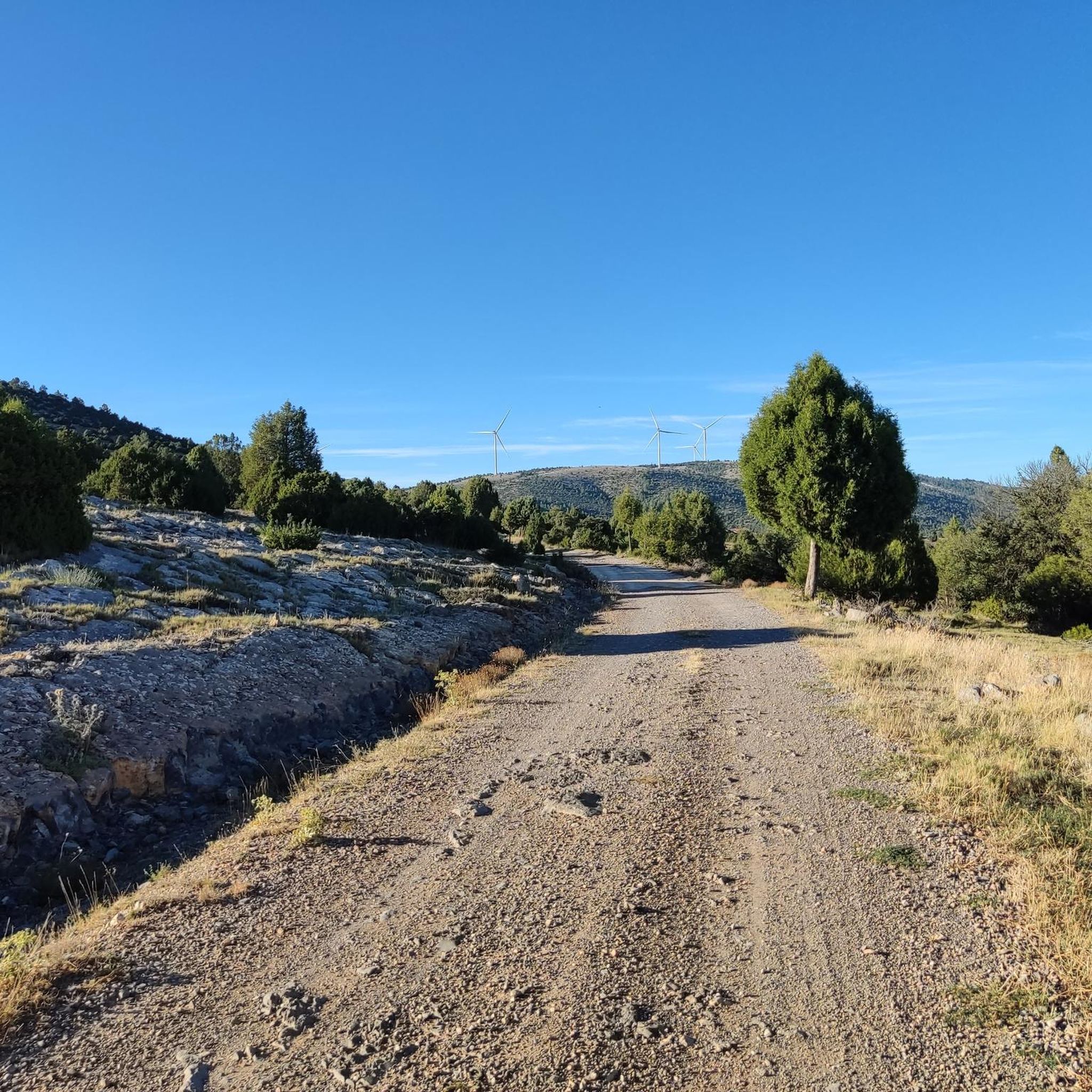
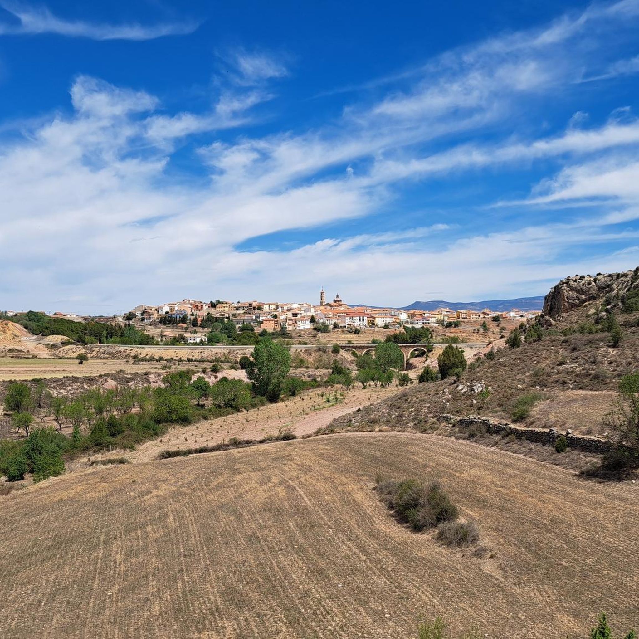
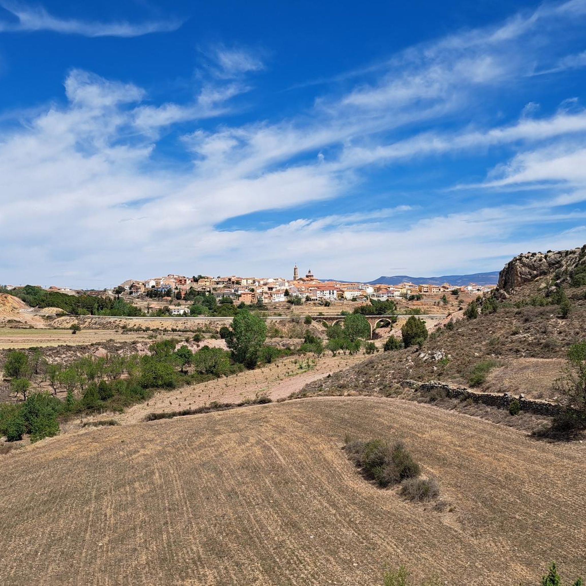
Other adventures around Sarrión

Tips from the Community

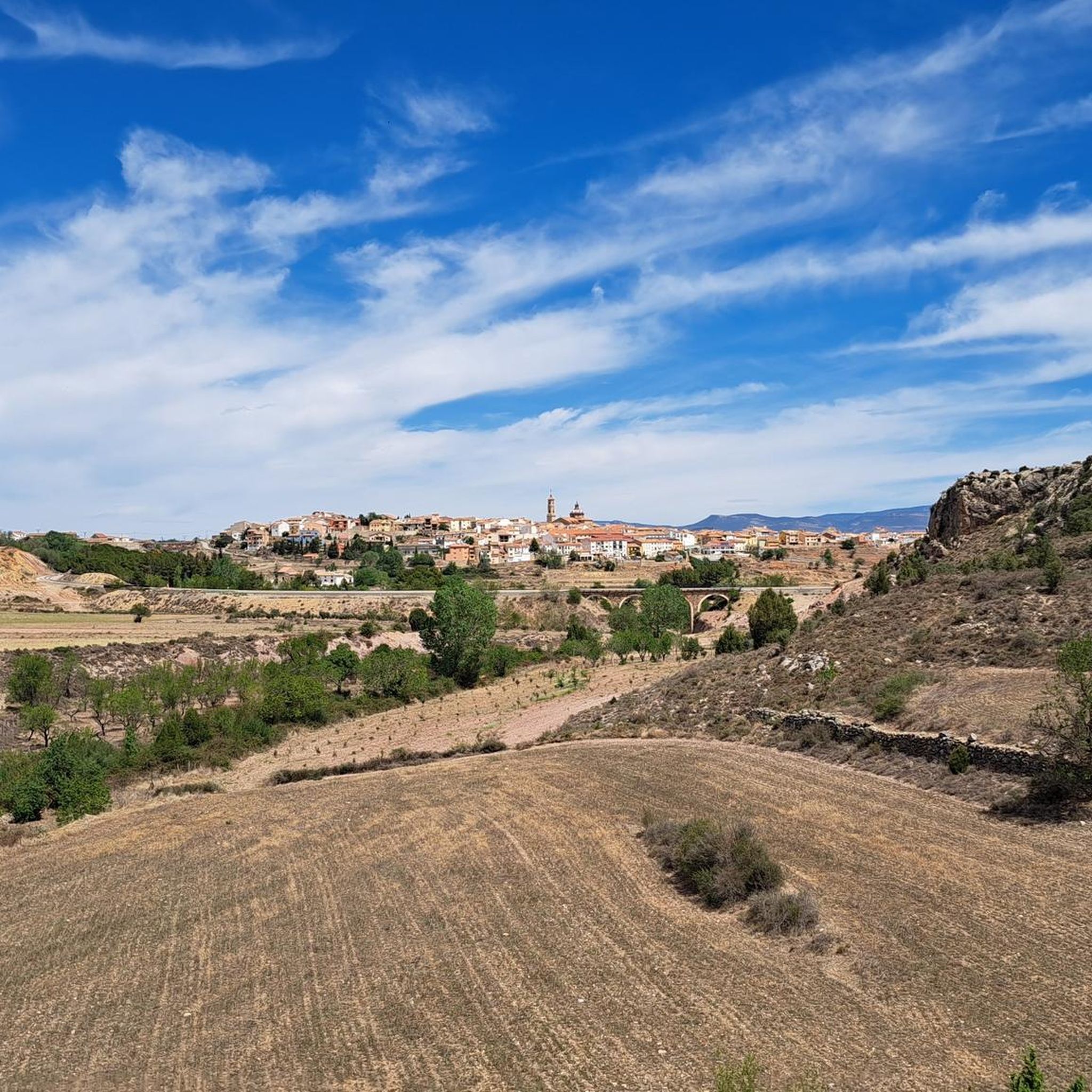
Beautiful little town in the middle of the mountains
0
0

This spot, in addition to the typical photo opportunity with Sarrion in the background, is one of the few places where you can refill your drinking water. There are also picnic tables. I recommend taking a stroll through the village before continuing the route.
0
0

Beautiful and the pub on the square is even better than beautiful
0
0
More than a campsite, I'd say it's a recreational area for picnicking. It has children's games, a water fountain, and tables.
1
0
South entrance to the Albentosa Tunnel. It's part of the Ojos Negros Greenway. It has automatic lighting upon entering. Next to this entrance, there's a rest area with a couple of picnic tables. There's no water point. A good place to rest and enjoy excellent views.
0
0
North entrance of the Albentosa Tunnel. It's part of the Ojos Negros Greenway.
0
0
Impressive old entrance to the town. In addition to the walled entrance, I recommend strolling through the old town, within the walls. In summer, the park in front of the wall invites you to rest in the shade of its enormous trees or lie on the grass. There are multiple mountain bike routes starting from Manzanera.
0
0

Excellent route!!
0
0
Frequently Asked Questions
How many gravel bike trails are available around Sarrión?
There are 13 gravel bike routes around Sarrión. Most of these, 12 to be exact, are classified as difficult, with one route considered moderate. This region is known for its challenging terrain, making it ideal for experienced riders.
Are there any easy or beginner-friendly gravel bike routes in Sarrión?
Sarrión's gravel biking landscape is primarily suited for experienced riders due to its mountainous terrain and significant elevation changes. Most routes are classified as difficult, with only one moderate option available. Beginners might find the trails quite challenging.
What is the best time of year for gravel biking in Sarrión?
The best time for gravel biking in Sarrión is typically during spring and autumn when temperatures are milder and the weather is more stable. Summer can be very hot, especially at lower elevations, while winter brings colder temperatures and potential snow, particularly in higher areas like Pico Javalambre, which can affect trail conditions.
Are there any circular gravel bike routes in Sarrión?
Yes, many of the gravel bike routes in Sarrión are designed as loops. For example, you can explore the Puerto de Nogueruelas – Rubielos de Mora loop from Masía La Torre, or the challenging Pico Javalambre – Viaducto de Peñaflores loop from La Puebla de Valverde.
What kind of terrain can I expect on Sarrión's gravel bike trails?
The terrain around Sarrión is characterized by mountainous landscapes, including notable peaks like Pico Javalambre. You can expect significant elevation changes, with demanding ascents and descents through varied natural environments, from forests to more open, rugged areas. The trails often traverse rural roads and mountain passes.
What are some scenic viewpoints or attractions along the gravel bike routes?
Many routes offer stunning views, especially around Pico Javalambre. You can also encounter historical sites like Mora de Rubielos Castle, or natural features such as the The Gorge. The Ojos Negros Greenway via Puebla de Valverde also offers a pleasant cycling experience.
Are there any routes suitable for families with children?
Given that most routes in Sarrión are classified as difficult with substantial elevation changes, they are generally not recommended for families with young children or those seeking very easy rides. The region caters more to experienced gravel bikers looking for a challenge.
Where can I find parking near the gravel bike trailheads in Sarrión?
Parking availability varies by trailhead. For routes starting from towns like Mora de Rubielos or La Puebla de Valverde, you can typically find public parking areas. For example, the Albentosa Picnic Area is a known starting point with facilities. It's advisable to check the specific route details on komoot for recommended starting points and parking information.
What do other gravel bikers enjoy most about the trails in Sarrión?
The komoot community highly rates the gravel biking experience in Sarrión, with an average score of 4.7 stars. Riders often praise the challenging ascents and descents, the extensive views, and the diverse natural environments. The region offers a rewarding experience for those seeking demanding routes.
Are there any cafes or places to refuel along the gravel bike trails?
While some routes pass through or near villages where you might find cafes or small shops, many trails traverse remote mountainous areas. It's always recommended to carry sufficient water and snacks, especially on longer routes like the Hermitage of Santa Margarita – El Toro Castle Ruins loop from Manzanera, as amenities can be sparse.
How long do the gravel bike trails typically take to complete?
The duration of gravel bike trails in Sarrión varies significantly depending on their length and difficulty. For instance, the Puerto de Nogueruelas – Rubielos de Mora loop from Masía La Torre is about 23 miles (37.1 km) and takes approximately 3 hours 52 minutes. Longer routes, such as the Mora de Rubielos Castle – Valdelinares Ski Resort loop from Mora de Rubielos, which is 59.1 miles (95.1 km), can take around 8 hours 44 minutes to complete.
Most popular attractions around Sarrión

Get inspired with the komoot mobile app


Explore more
Browse the best Gravel rides in other regions.
