The best gravel rides around Covaleda
4.8
(10)
75
riders
11
rides
Gravel biking around Covaleda offers diverse terrain, characterized by its proximity to the Duero River and its associated trails. The region features varied elevations, from river valleys to ascents towards areas like Laguna Negra. Gravel bike trails often traverse forested areas and pass by reservoirs, providing a mix of natural landscapes. The routes in this area combine natural beauty with opportunities for challenging climbs and scenic rides.
Best gravel bike trails around Covaleda
- The most popular gravel bike trail is…
Last updated: October 18, 2026
4.7
(3)
14
riders
39.2km
03:44
1,000m
1,010m
Hard gravel ride. Very good fitness required. Mostly paved surfaces.
5.0
(1)
6
riders
51.7km
04:38
880m
880m
Hard gravel ride. Very good fitness required. Mostly paved surfaces.

8
riders
52.7km
05:10
1,230m
1,230m
Hard gravel ride. Very good fitness required. Mostly paved surfaces.
5.0
(1)
10
riders
19.3km
01:24
230m
230m
Moderate gravel ride. Good fitness required. Mostly paved surfaces.
6
riders
20.1km
01:39
210m
210m
Moderate gravel ride. Good fitness required. Mostly paved surfaces.
Get access to more routes and recommendations from other explorers.
Already have an account?
Our route recommendations are based on thousands of hikes, rides, and runs completed by other people on komoot.
Start today with a free account
Your next adventure awaits.
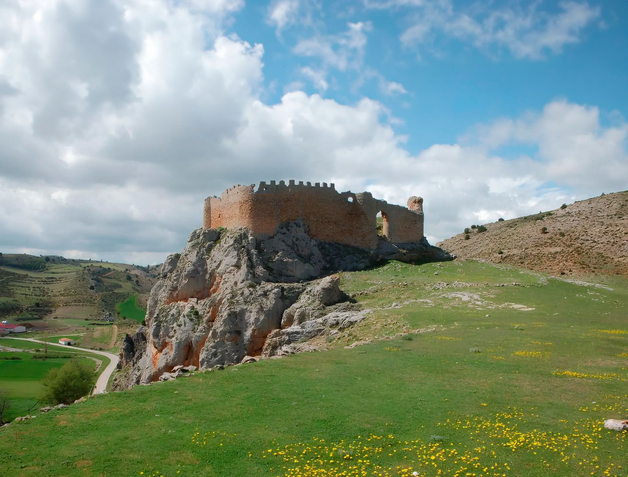
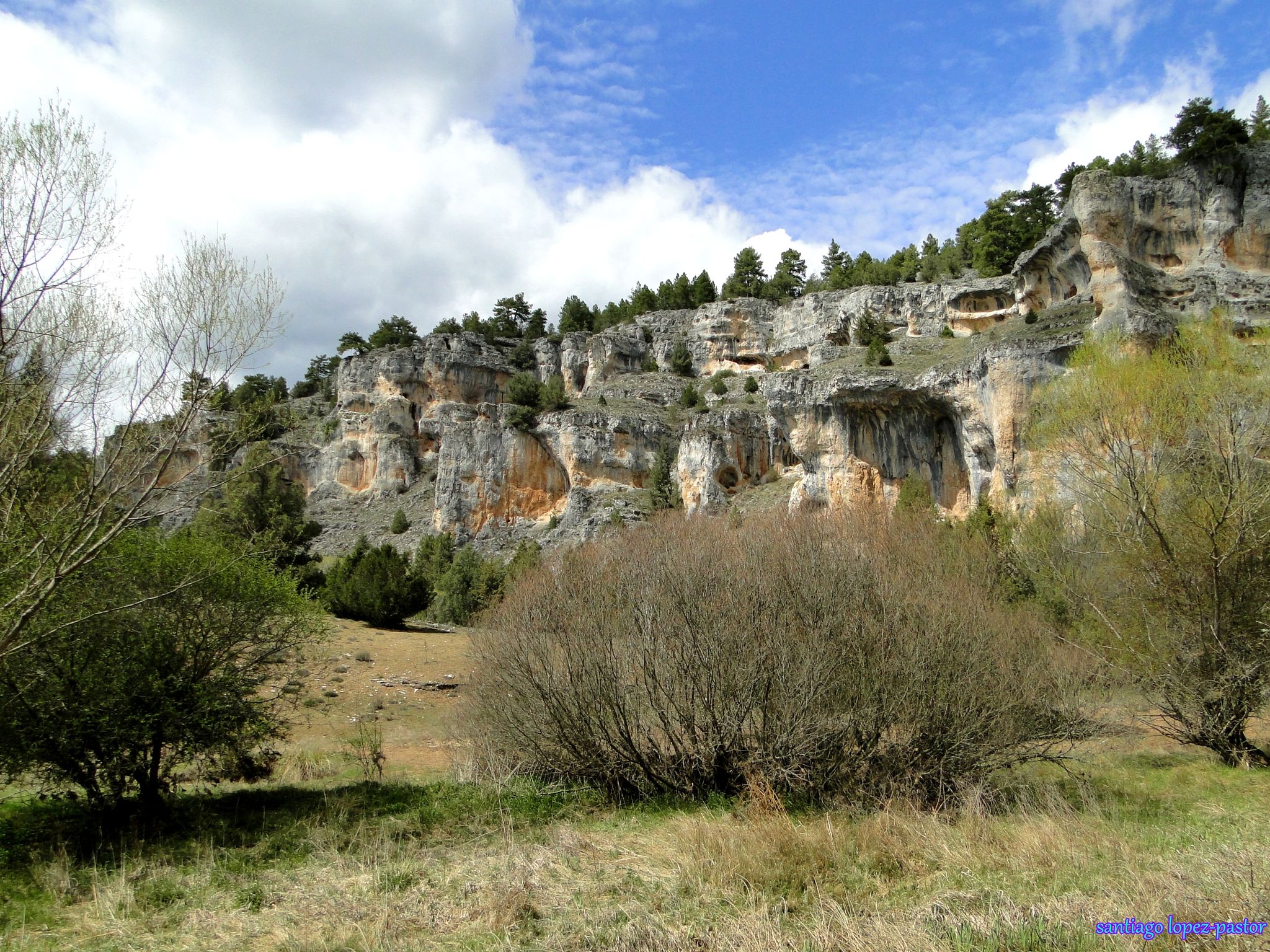
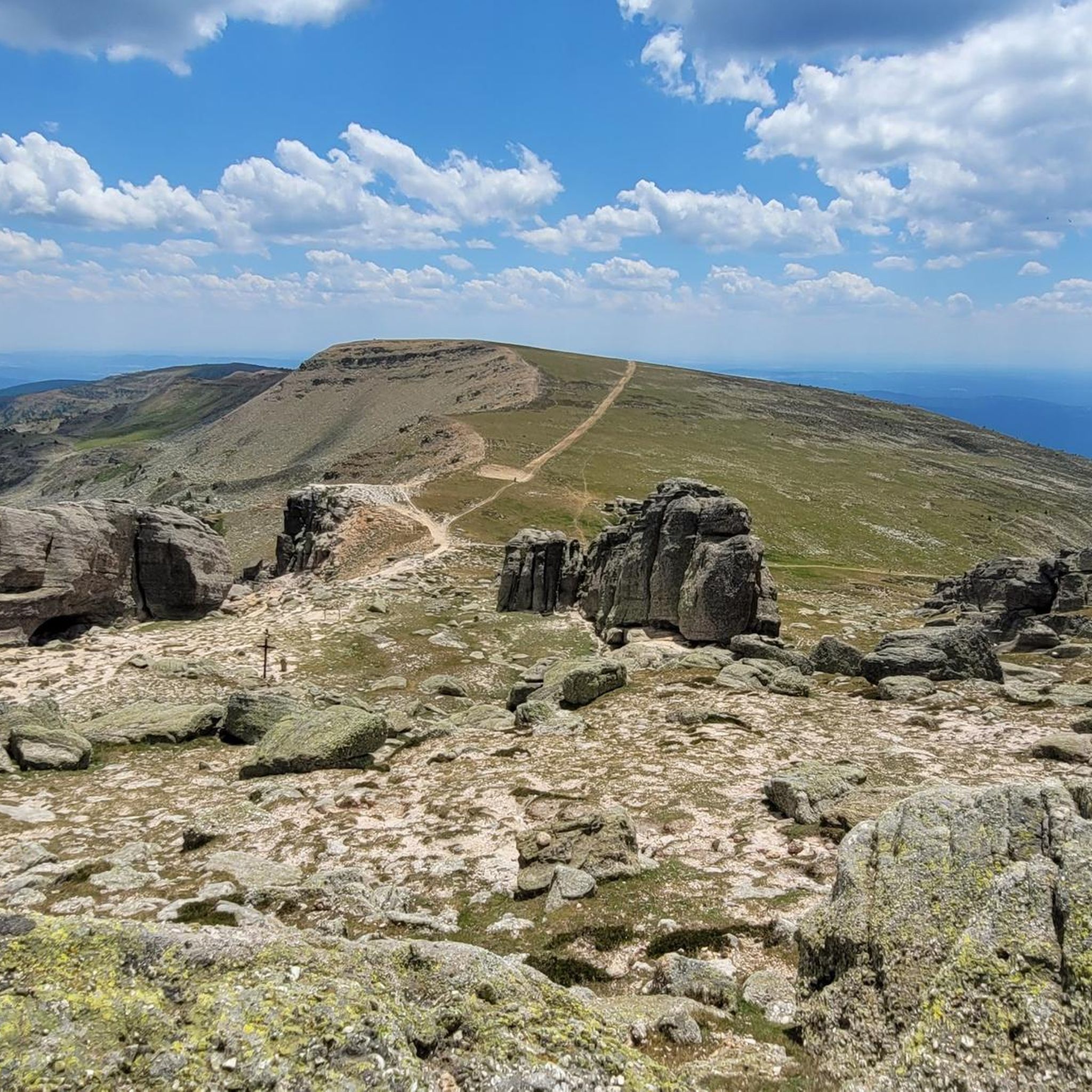
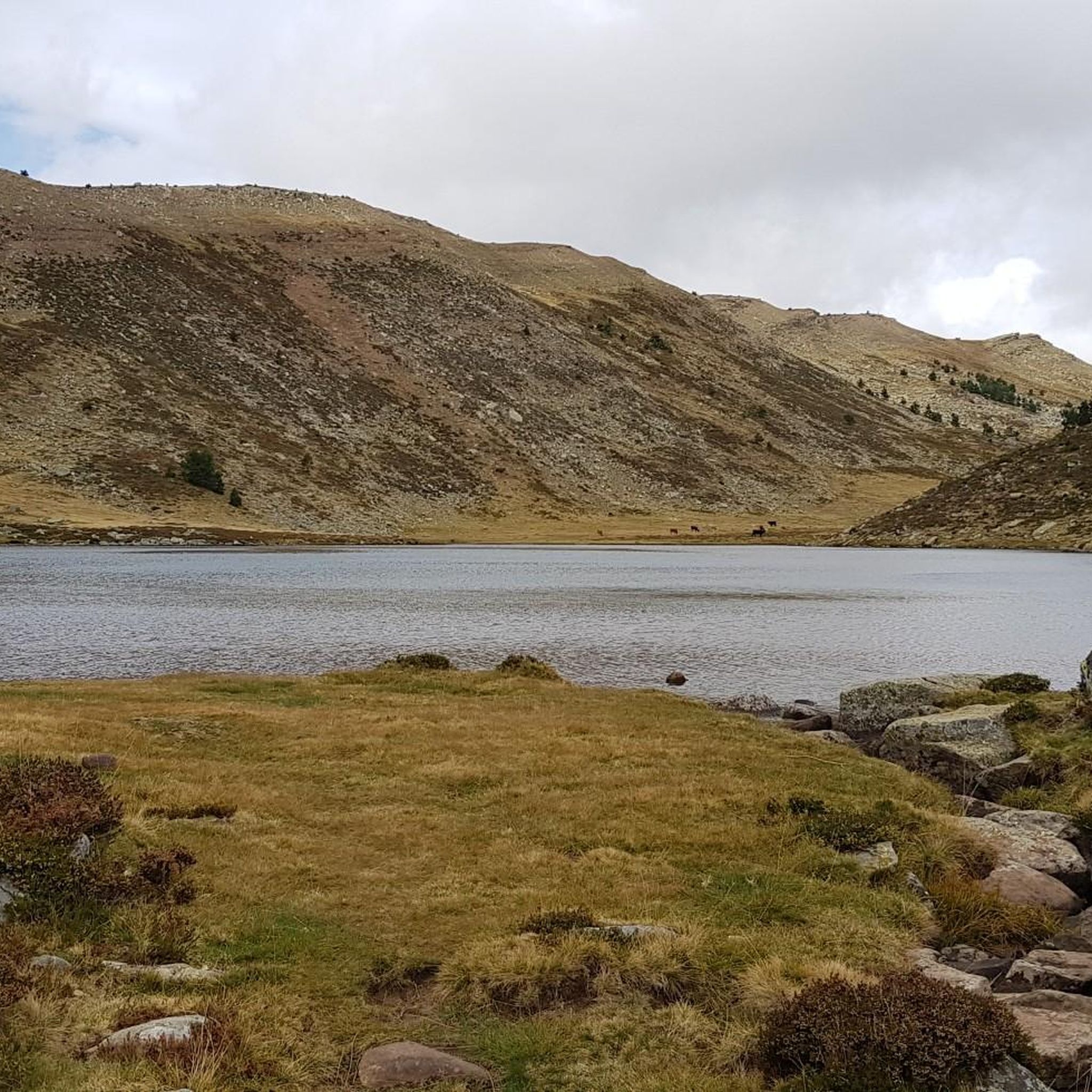


Tips from the Community

it is spectacular, for walking peacefully
0
0
Spectacular area for hiking routes
0
0
Beautiful town in Soria.
0
0

Molinos, located at the entrance to the valley through which the Duero River descends, amidst thick pine forests, was the most important cart-making center in the country for centuries. A monument today reminds visitors of the great impact this activity had on the area. The wool trade significantly stimulated muleteering and transport, leading the Catholic Monarchs to found the Royal Cart-Workers' Cabin in 1497, granting it substantial privileges and franchises that successive monarchs maintained until its abolition in 1836. A result of the wealth this activity brought is the collection of beautiful stone mansions scattered throughout the town.
0
0

Stage 2. Duruelo de la Sierra/Soria 69 kilometers. 510 meters of elevation gain. Duruelo has hotels, restaurants, and grocery stores. It is the town where the Duero River originates at the foot of the Urbión Peaks. The Senda del Duero Nature Trail begins at Fuentes del Duero, where the river officially originates, at an altitude of 2,100 meters, a landscape of crushed granite shaped by the fierceness of the high mountains. The route leaves the town along the Senda del Duero. The posts are located at a cattle gate, and there are hiking and mountain bike trail signs in several directions. The path is also marked with the red and white stripes of the GR-14 trail. It crosses a small, inconspicuous slope on a grassy slope and descends some steps to the fantastic path that runs along the riverbank—the perfect way to start this cycle tour. The river path is about seven kilometers long, with the tricky sections at the end, where rain and flooding have stripped the road bare, requiring careful adjustment to squeeze gravel tires between the stones. There's also a short stretch of stairs that isn't suitable for cycling. The path passes over the Soria Bridge (17th century) and climbs the slopes of Mount Peña Rubia, far from the river. It's the longest and steepest climb of the cycling day. The end is impossible; the path is ridden with roots and rills from runoff, but it only takes a few minutes. Soon, the forest track appears, descending at full speed to Molinos de Duero, another iconic village of pine-forest architecture with its May pine tree in the square and a landmark for road cycling. The red markers of the Duero Path pass under the road and continue toward Vinuesa along the route of an ancient Roman road, which is quite difficult for gravel bikes due to the poor condition of the surface. The comfortable option for bicycles with panniers is the road. Vinuesa is a good place to grab a snack, a section of a branch of the Cañada Real Segoviana (Royal Segovian Trail) that reaches from the Cameros region of Rioja via the Puerto de Santa Inés. The pines of the Revinuesa Valley are magnificent; they have always been renowned for their high-quality wood and their proud, solemn bearing. For centuries, they have shaped the economic pulse of forest resources in the Pinares region.
0
0
With impressive views of Urbión
0
0
A curious large stone, it moves but cannot be dragged.
0
0
Nice area for outdoor activities.
0
0
Frequently Asked Questions
Are there beginner-friendly gravel bike trails in Covaleda?
Yes, Covaleda offers several moderate gravel routes suitable for those looking for a less strenuous ride. A good option is the Cuerda del Pozo Reservoir – Bridge over the Duero loop from Vinuesa, which is 18.1 km long with moderate elevation gain, offering scenic views without excessive difficulty.
What about more challenging gravel routes around Covaleda?
For experienced gravel bikers seeking a challenge, Covaleda has routes with significant elevation. The Molinos de Duero – Laguna Negra Ascent. loop from Navaleno is a difficult 103.4 km route that features substantial climbing towards the Laguna Negra area, testing your endurance and skill.
Are there options for long-distance gravel biking around Covaleda?
Absolutely. If you're looking for a longer ride, the Molinos de Duero – Laguna Negra Ascent. loop from Navaleno covers 103.4 km and is one of the longest routes in the area. Another substantial option is the Molinos de Duero – Duero Trail loop from Molinos de Duero, which is 53.0 km and follows the scenic Duero Trail.
Where can I park when gravel biking in Covaleda?
Many routes start from towns like Molinos de Duero, Vinuesa, or near Covaleda itself. You can generally find parking in these villages, often near the starting points of the trails or in designated public parking areas. It's advisable to check local signage upon arrival.
Are there family-friendly gravel biking routes in Covaleda?
While many routes involve varied terrain, some moderate trails could be suitable for families with older children or those comfortable with some elevation. The Cuerda del Pozo Reservoir – Bridge over the Duero loop from Vinuesa is a shorter, moderate option that might be more manageable for a family outing.
What is the best time of year for gravel biking in Covaleda?
The spring and autumn months are generally ideal for gravel biking in Covaleda. The weather is typically milder, and the natural landscapes are vibrant. Summer can be pleasant, especially in the mornings or late afternoons, but be prepared for warmer temperatures. Always check the local forecast before heading out.
Is gravel biking possible in Covaleda during winter?
Gravel biking in Covaleda during winter can be challenging due to colder temperatures, potential snow, and ice, especially at higher elevations or in shaded forest sections. Some lower-lying routes might be passable, but it's crucial to check weather conditions, trail reports, and be equipped for winter riding.
Are there places to stop for refreshments along the gravel routes?
Many of the gravel routes start or pass through small towns and villages like Molinos de Duero, Vinuesa, or Covaleda, where you can find cafes, restaurants, or shops to refuel. For routes that venture into more remote areas, it's always best to carry sufficient water and snacks.
Can I find circular gravel bike routes in Covaleda?
Yes, all the featured gravel bike routes around Covaleda are designed as loops, allowing you to start and finish at the same point. This includes popular options like the Cuyacabras Necropolis – Quintanar de la Sierra loop from Regumiel de la Sierra.
What natural attractions can I see along the gravel bike trails?
The routes often traverse diverse natural landscapes. You might encounter the Source of the Duero River, ride alongside the Cuerda del Pozo Reservoir, or pass by the stunning Cueva Serena Waterfall. The region is rich in forests and river valleys, offering constant scenic beauty.
Are there any waterfalls accessible from the gravel routes?
Yes, the area around Covaleda is home to several beautiful waterfalls. Depending on your chosen route, you might be able to visit highlights such as the Ojeda River Waterfall, Cueva Serena Waterfall, or Paso Peñoncito Waterfall, which are often found in the forested river valleys.
What do other gravel bikers enjoy most about Covaleda?
The komoot community highly rates the gravel biking experience in Covaleda, with an average score of 5.0 stars. Riders often praise the diverse terrain, from riverside paths along the Duero to ascents towards areas like Laguna Negra, and the mix of natural landscapes including forests and reservoir views.
Most popular attractions around Covaleda

Get inspired with the komoot mobile app


Explore more
Browse the best Gravel rides in other regions.
