The 10 Most Amazing Peaks around Laufenburg (Baden)
Best mountain peaks around Laufenburg (Baden) are found within the Black Forest and Hotzenwald regions, offering elevated areas and scenic viewpoints. The topography features hills and passes, providing picturesque hiking opportunities and expansive views. The maximum elevation in the Laufenburg (Baden) area is approximately 789 meters. This region serves as a starting point for exploring diverse terrain.
Best mountain peaks around Laufenburg (Baden)
- The most popular mountain peaks is Cheisacherturm Lookout Tower, a viewpoint that blends harmoniously into the…
Last updated: October 11, 2026
Cheisacherturm Lookout Tower
Highlight • Viewpoint
Translated by Google •
Tip by

Ampfernhöhe
Highlight • Mountain Pass
Translated by Google •
Tip by

Sign up now to discover places like this
Get recommendations on the best single tracks, peaks, & plenty of other exciting outdoor places.
Bürersteig Pass
Highlight • Mountain Pass
Translated by Google •
Tip by

Gugelturm Observation Tower with Views of the Alps
Highlight • Viewpoint
Showing Translation
Tip by

Bözberg Pass
Highlight • Mountain Pass
Translated by Google •
Tip by

Sign up for free to discover even more peaks around Laufenburg (Baden).
Already have an account?
Start today with a free account
Your next adventure awaits.
Popular around Laufenburg (Baden)
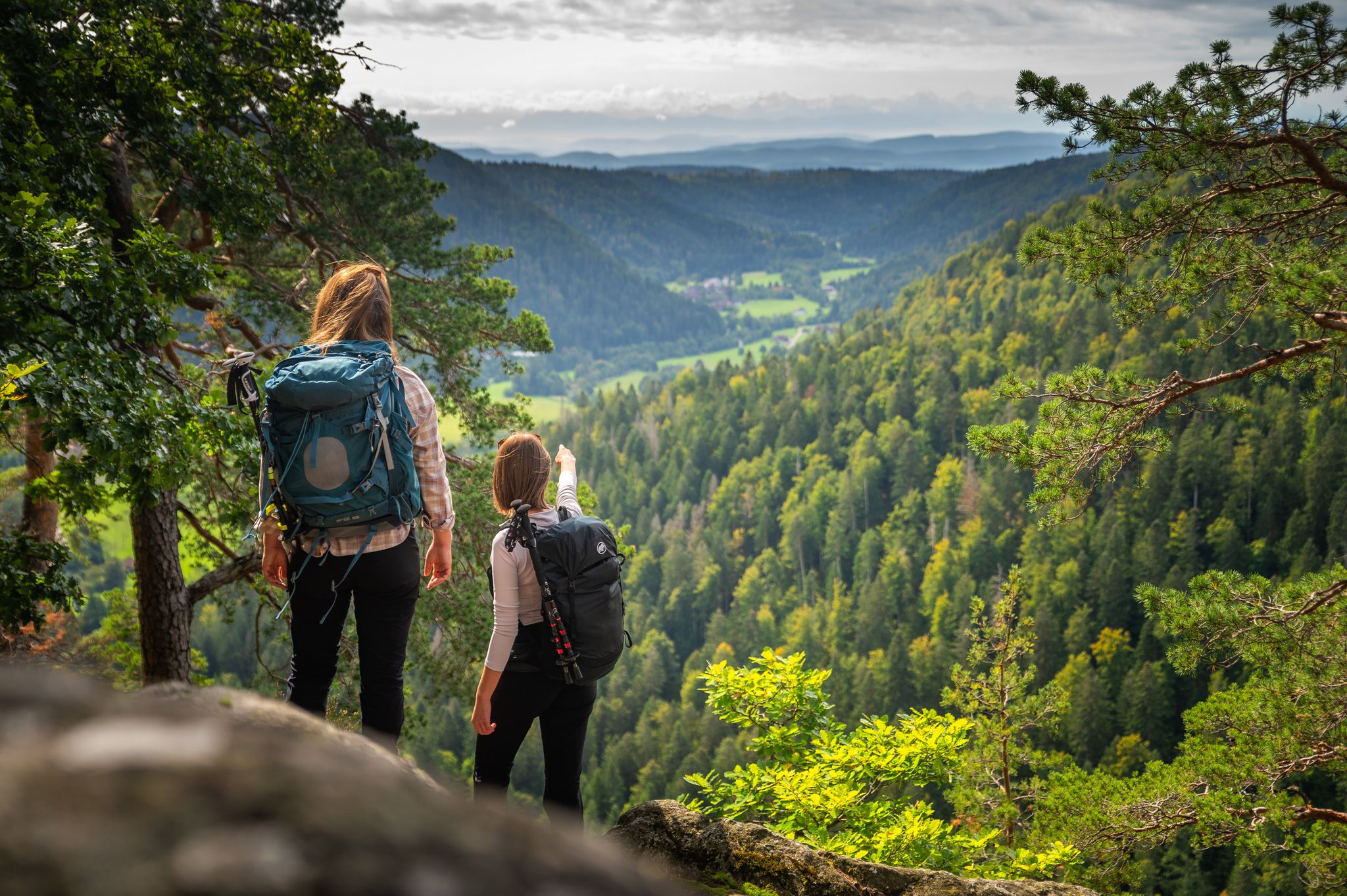
From the hills to the Rhine – hiking in the Southern Black Forest
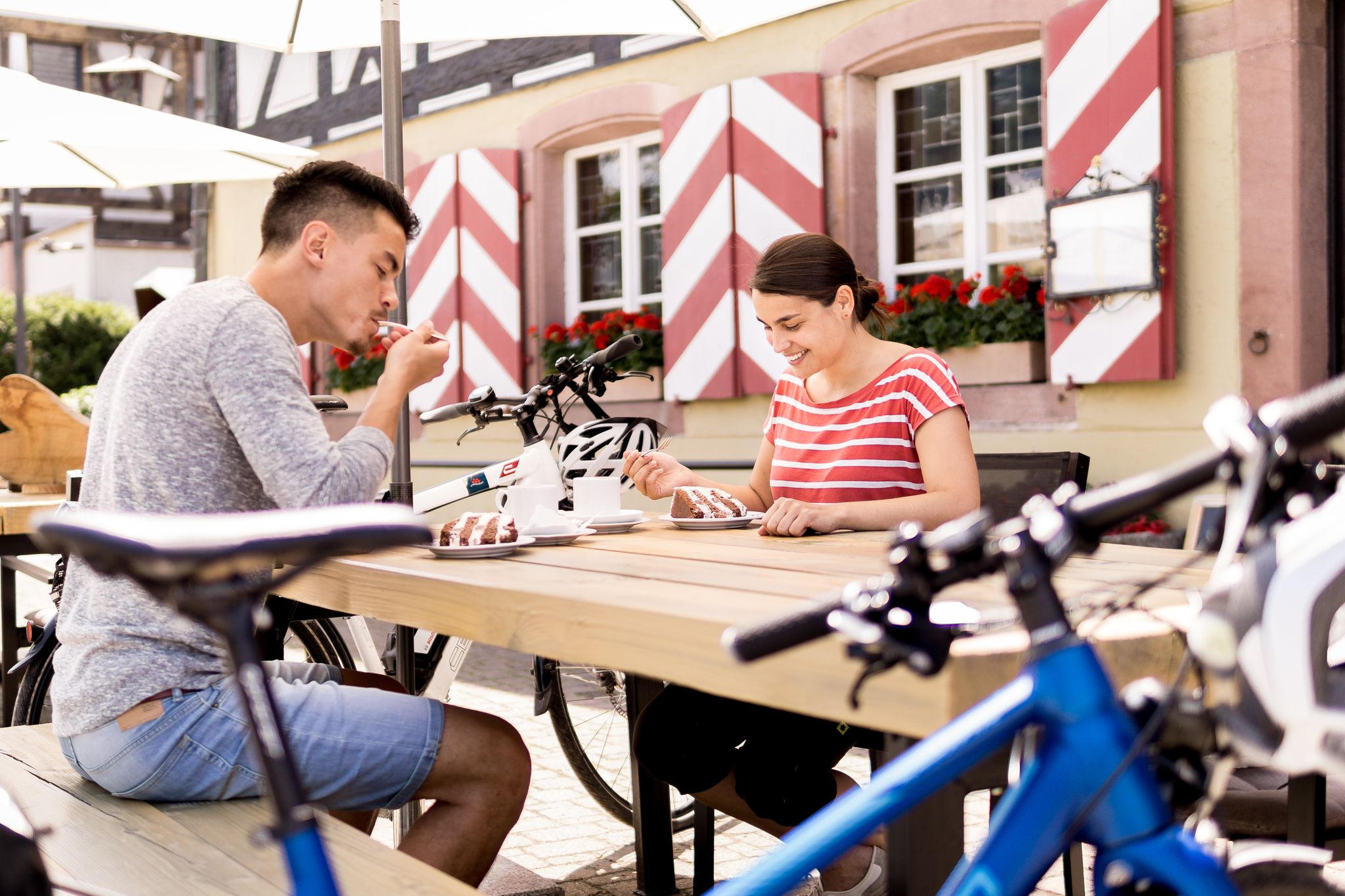
Gentle cycling & fine dining – the Black Forest for connoisseurs
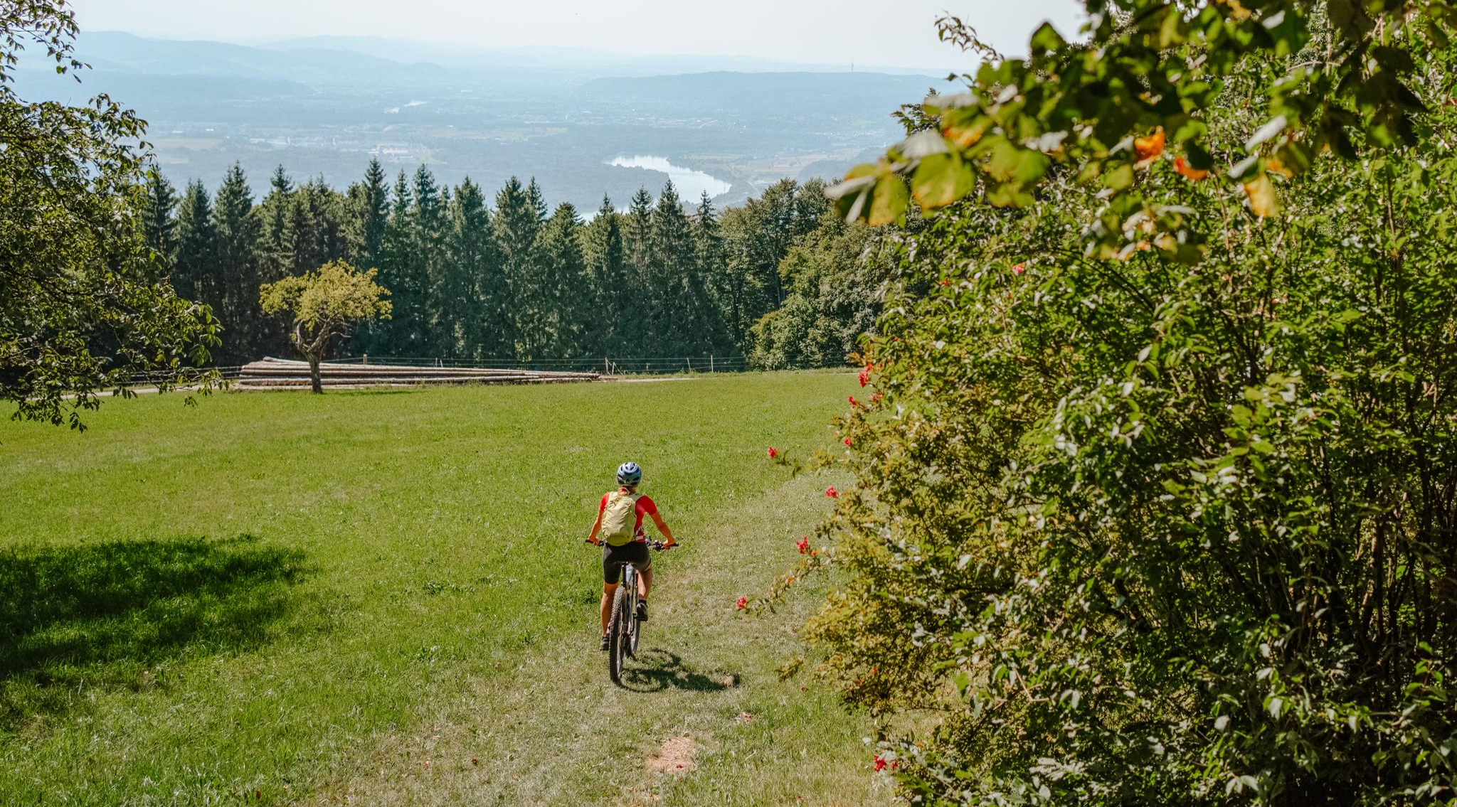
Build your dream ride: Modular biking in the Southern Black Forest
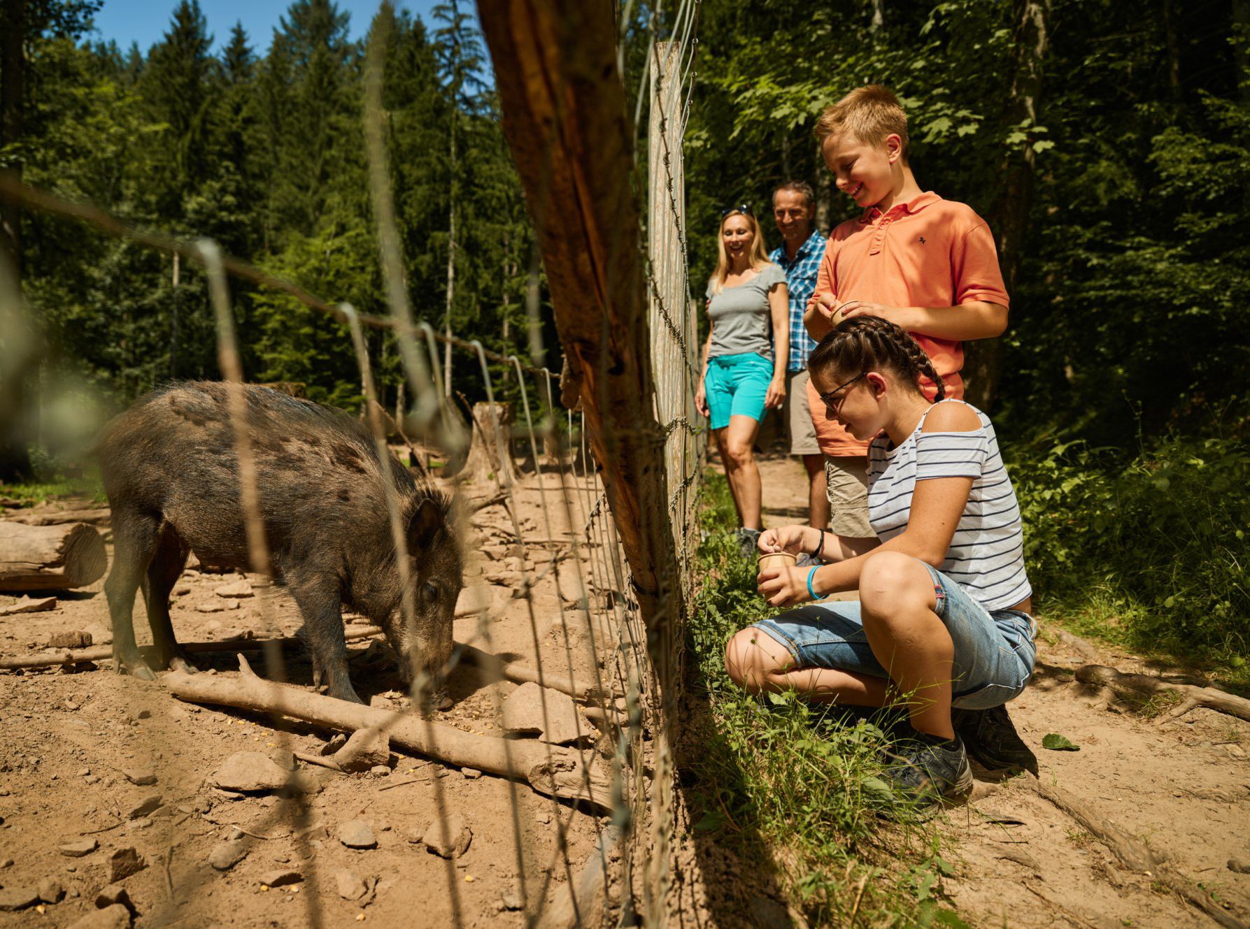
Animal Tours – family hikes in the southern Black Forest
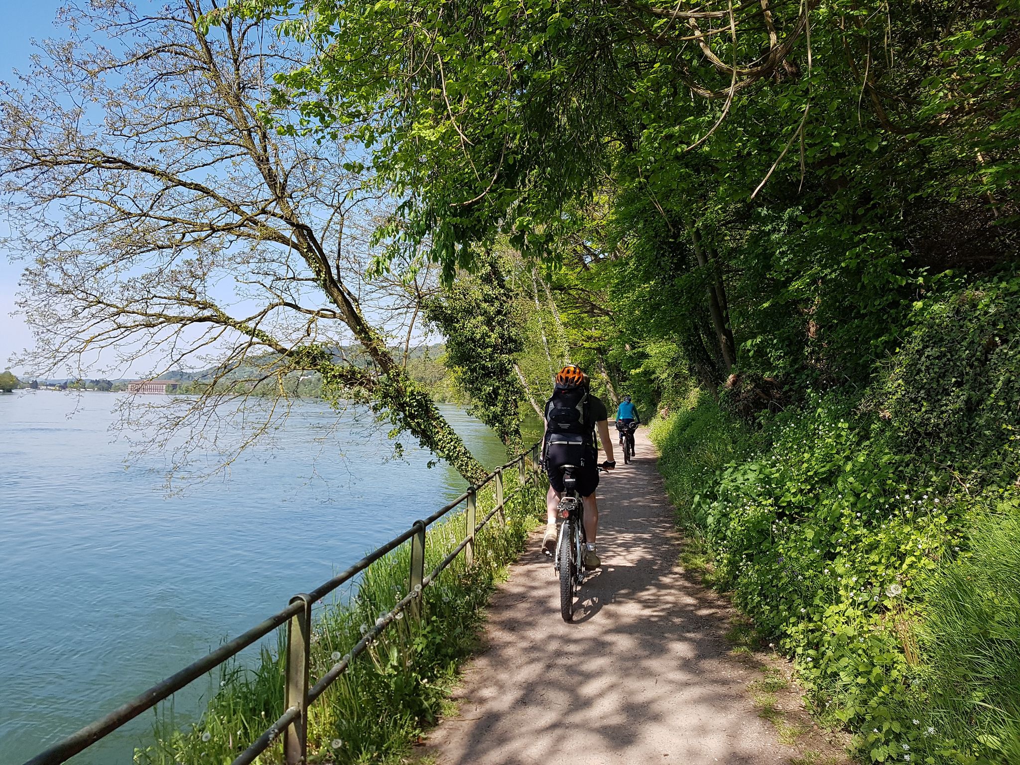
D-Route 6: Danube Route
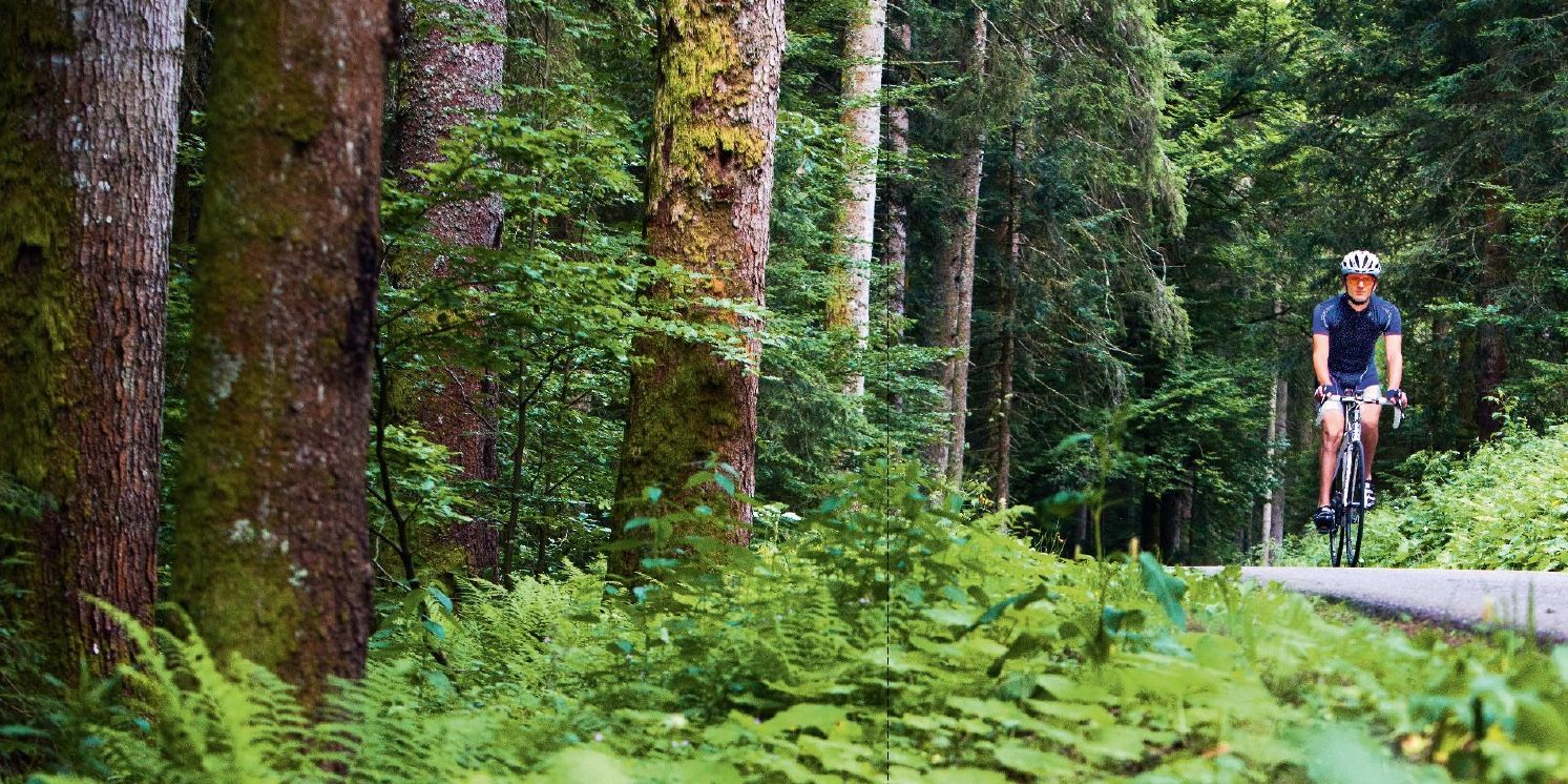
Road bike tours in the Hotzenwald (southern Black Forest)
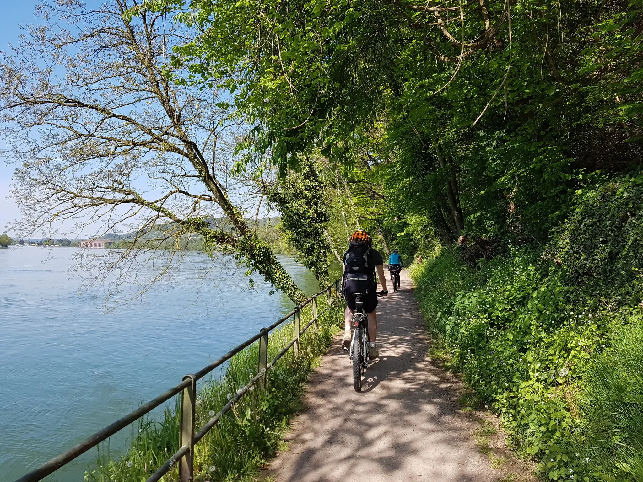
Explore three countries on the Southern Black Forest Cycle Path
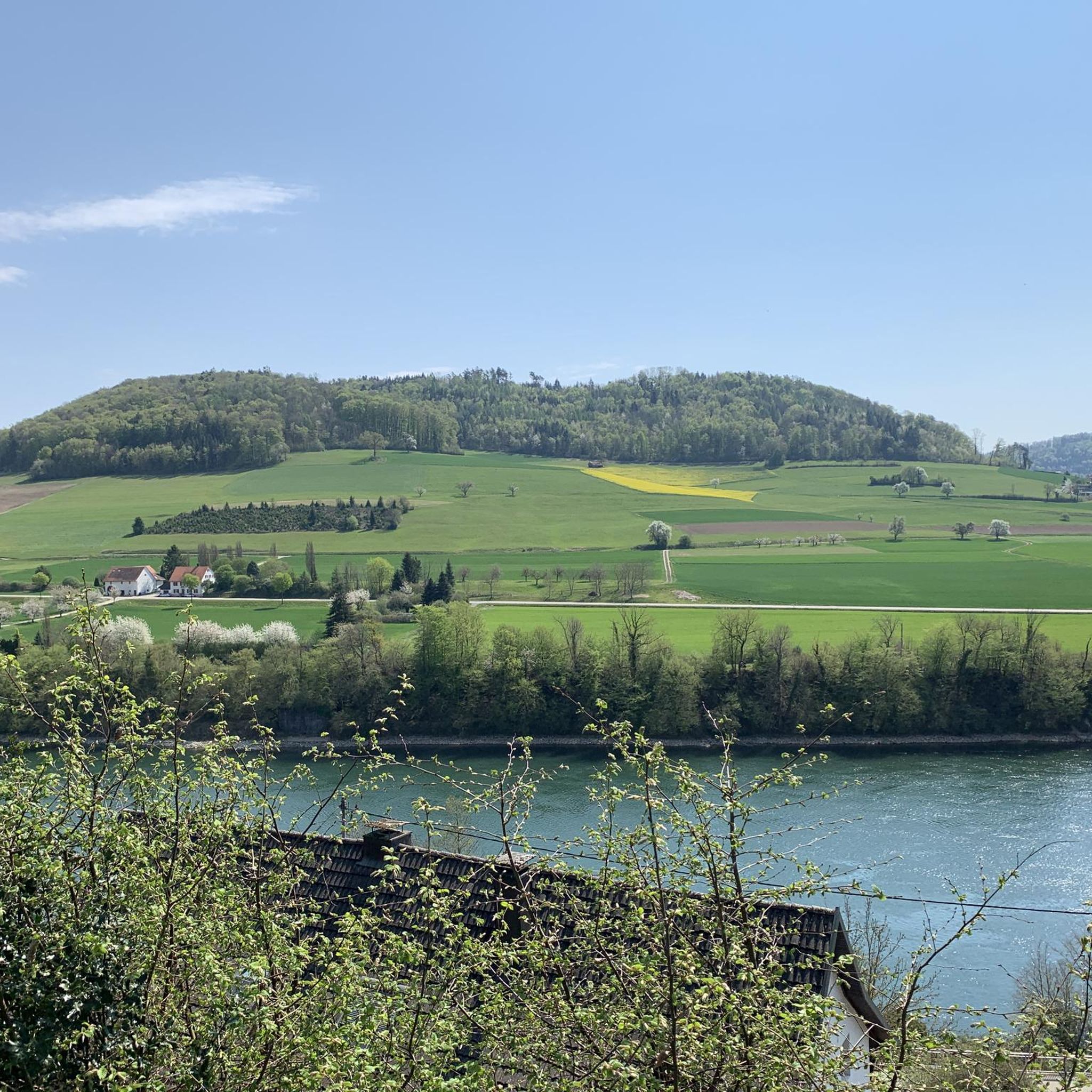
Cycling around Laufenburg (Baden)
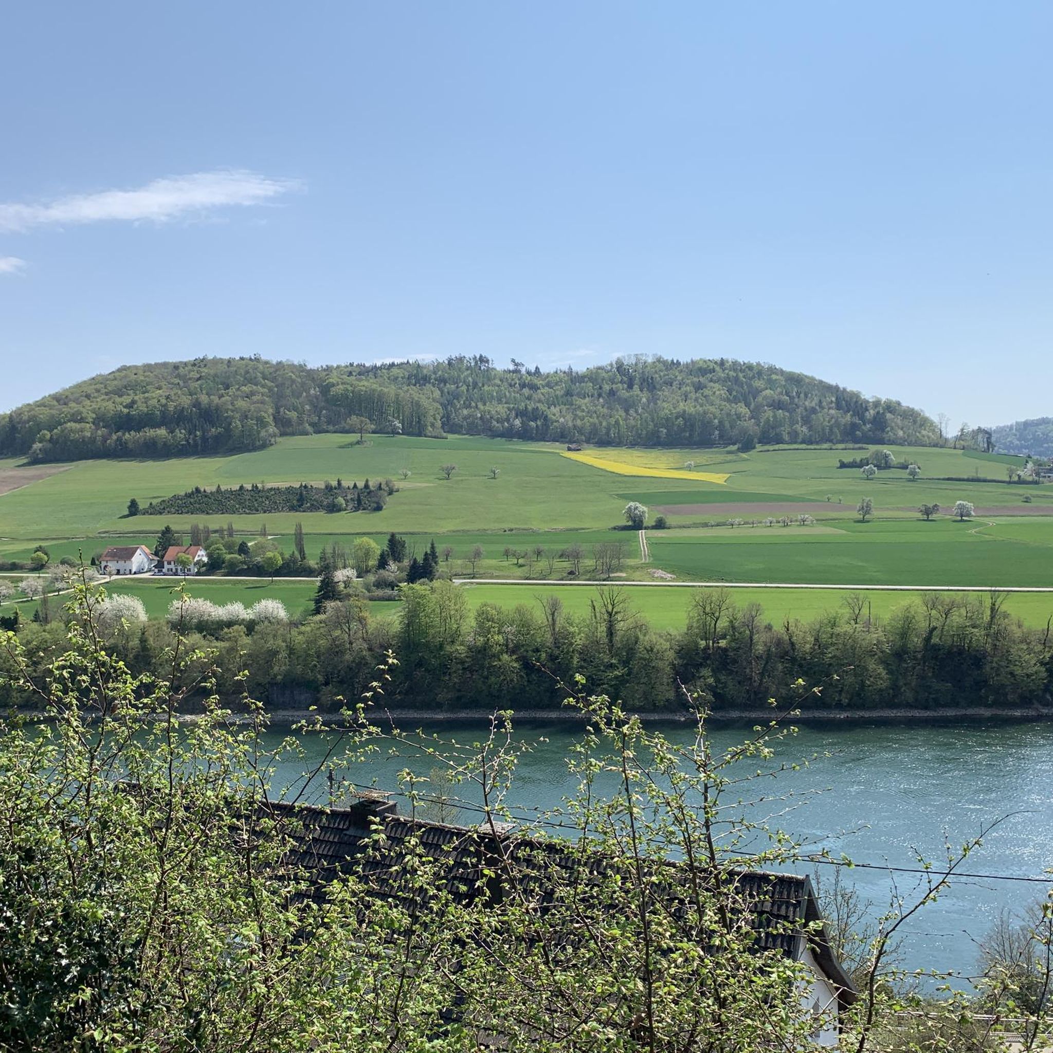
Road Cycling Routes around Laufenburg (Baden)
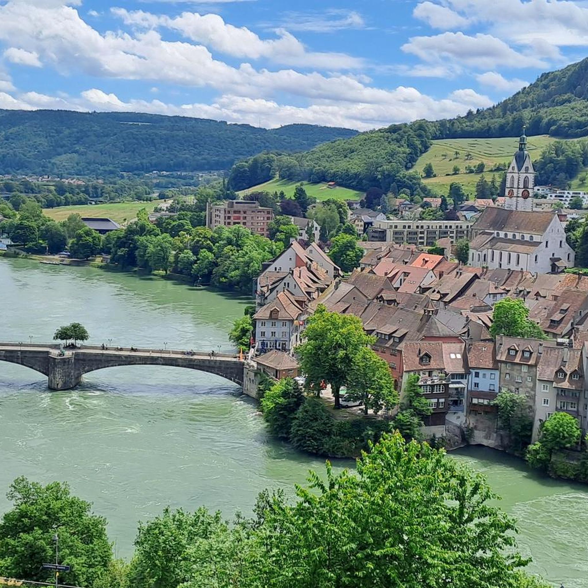
Hiking around Laufenburg (Baden)
Other adventures around Laufenburg (Baden)


Tips from the Community

Arrived at the summit of the Bürersteig (550 m above sea level), a versatile hub for cyclists and mountain bikers in the Jurapark Aargau opens up. Those who have mastered the ascent from Mönthal or Gansingen do not have to go directly down the fast descent to Remigen – there is plenty to discover at the top: Discover military history: The Bürersteig fortified position Directly in the area of the pass and in the adjacent forest areas, you will encounter historical concrete structures from the Second World War and the Cold War. Purpose of the facility: The pass was part of the Swiss Army's Bürersteig fortified position. Its mission was to block a potential enemy advance from the Rhine Valley across the Jura towards the Mittelland and the Aare Valley.
1
0

Pleasant gradient, easy to manage. Beware, we are not alone on the road. Especially when going downhill. The route is also popular with motorcyclists and cars, especially on weekends and holidays when the weather is nice.
1
0

The main road over the 569 meter high Bözberg connects the Fricktal with Brugg. If you are on a mountain bike, you have the advantage of being able to go straight back into the forest before and after, thus avoiding traffic.
1
0

The Ampferehöchi done, many new trail possibilities are waiting to be explored
0
0
On the Bözberg! And no matter which side you arrive from, there are many interesting forest and field paths, trails, and sights in the area. While you're there, I recommend visiting the Linner Linde tree or the old town of Brugg. There's so much more to see there, but there wouldn't be enough space. Have fun!
1
0


is on the tour, very steep, short climb: 80 m, rapid descent on the other side
0
0

With its impressive height of 30 m and an observation deck at 16 m, it towers into the Hotzenwald sky. Once you have climbed the spiral staircase with its 90 steps, you will be rewarded with a spectacular view of the Swiss Alps in good weather. In summer, the Gugelstüble invites you to take a break on the large sun terrace or in the cozy little room.
5
1
Frequently Asked Questions
What kind of elevated areas and peaks can I expect around Laufenburg (Baden)?
The region around Laufenburg (Baden) features hills and passes within the Black Forest and Hotzenwald, rather than towering alpine peaks. You'll find picturesque hiking opportunities and expansive views, with the maximum elevation reaching approximately 789 meters. The area is known for its observation towers, mountain passes, and summits that offer diverse experiences.
What are some of the most popular viewpoints in the Laufenburg (Baden) area?
Among the most popular viewpoints is the Cheisacherturm Lookout Tower, which blends harmoniously into the landscape and offers far-reaching views, including the snow-capped peaks of the Alps. Another highly regarded spot is the Gugelturm Observation Tower with Views of the Alps, providing excellent long-distance vistas over the Black Forest and into Switzerland.
Are there any observation towers offering panoramic views?
Yes, the region is notable for its observation towers. The Cheisacherturm Lookout Tower and the Gugelturm Observation Tower with Views of the Alps are two prominent examples. Both offer magnificent panoramic views, often extending to the distant Alps, and provide spots for relaxing and picnicking.
Which mountain passes are notable for outdoor activities in the region?
The Ampfernhöhe is a mountain pass with a moderate and fluid ascent through a shaded forest, making it pleasant even in summer. It serves as a starting point for various beautiful places. The Bözberg Pass, connecting the Fricktal with Brugg, is particularly appealing to mountain bikers, offering immediate access to forests to avoid traffic.
Are there family-friendly options for exploring the elevated areas around Laufenburg (Baden)?
Yes, many of the elevated areas and viewpoints are suitable for families. For instance, the Cheisacherturm Lookout Tower area provides numerous spots for relaxing and picnicking, making it ideal for a leisurely family outing. The hiking trails in the region are varied, with options suitable for different fitness levels, including easier walks.
What is the best time of year to visit the peaks around Laufenburg (Baden)?
The best seasons for hiking and exploring the elevated areas are spring, when meadows and trees are in bloom, and autumn, which offers vibrant foliage. These seasons provide pleasant temperatures and beautiful natural scenery for your outdoor adventures.
What are the typical difficulty levels for hikes in this region?
The region offers a variety of hiking trails suitable for various fitness levels. You can find easy walks, moderate ascents, and more challenging hikes that may require good fitness and sure-footedness. Many trails lead through dense forests, rolling hills, and idyllic valleys.
Can I find easy hiking trails suitable for beginners around Laufenburg (Baden)?
Absolutely. The area provides numerous easy hiking trails perfect for beginners or those looking for a relaxed outing. For example, routes like the Andelsbach Trail or the Laufenplatz loop from Laufenburg (Baden) are rated as easy. You can find more options in the Easy hikes around Laufenburg (Baden) guide.
What kind of views can I expect from the elevated points?
From the elevated points and observation towers, you can expect excellent long-distance views. These often include vistas over the Black Forest, rolling hills, idyllic valleys, and even the snow-capped peaks of the Alps on clear days. Some spots also offer views deep into Switzerland.
Are there opportunities for mountain biking near the passes?
Yes, the Bözberg Pass is particularly well-suited for mountain bikers. It offers the advantage of immediate access to forests before and after the pass, allowing riders to avoid traffic. The region also has various gravel biking routes, which you can explore in the Gravel biking around Laufenburg (Baden) guide.
Where can I find refreshments or places to rest during my hike?
Some popular spots, like the Gugelturm Observation Tower, offer amenities for resting and even barbecuing. The Gugelturm specifically has the 'Gugelstüble,' run by local retirees, where you can find snacks and very good cakes, making it a great intermediate destination for hikes.
What other outdoor activities are available near these elevated areas?
Beyond hiking, the region offers various outdoor activities. You can enjoy gravel biking on routes like the Rhine Cycle Path loop or explore different cycling paths. For more detailed hiking options, refer to the Hiking around Laufenburg (Baden) guide.
What makes the Röthekopf summit cross a unique spot to visit?
The Röthekopf summit cross offers a beautiful and unexpected vantage point after a short, steep zigzag path. From here, you get a very nice view to the south, and the cross itself is well-suited as a photo motif, providing a rewarding experience for those who make the ascent.
Most popular routes around Laufenburg (Baden)
Most popular attractions around Laufenburg (Baden)

Get inspired with the komoot mobile app


Explore more
See even more amazing summits around Laufenburg (Baden) with these guides:
