The best gravel rides around Remoray-Boujeons
4.1
(20)
147
riders
41
rides
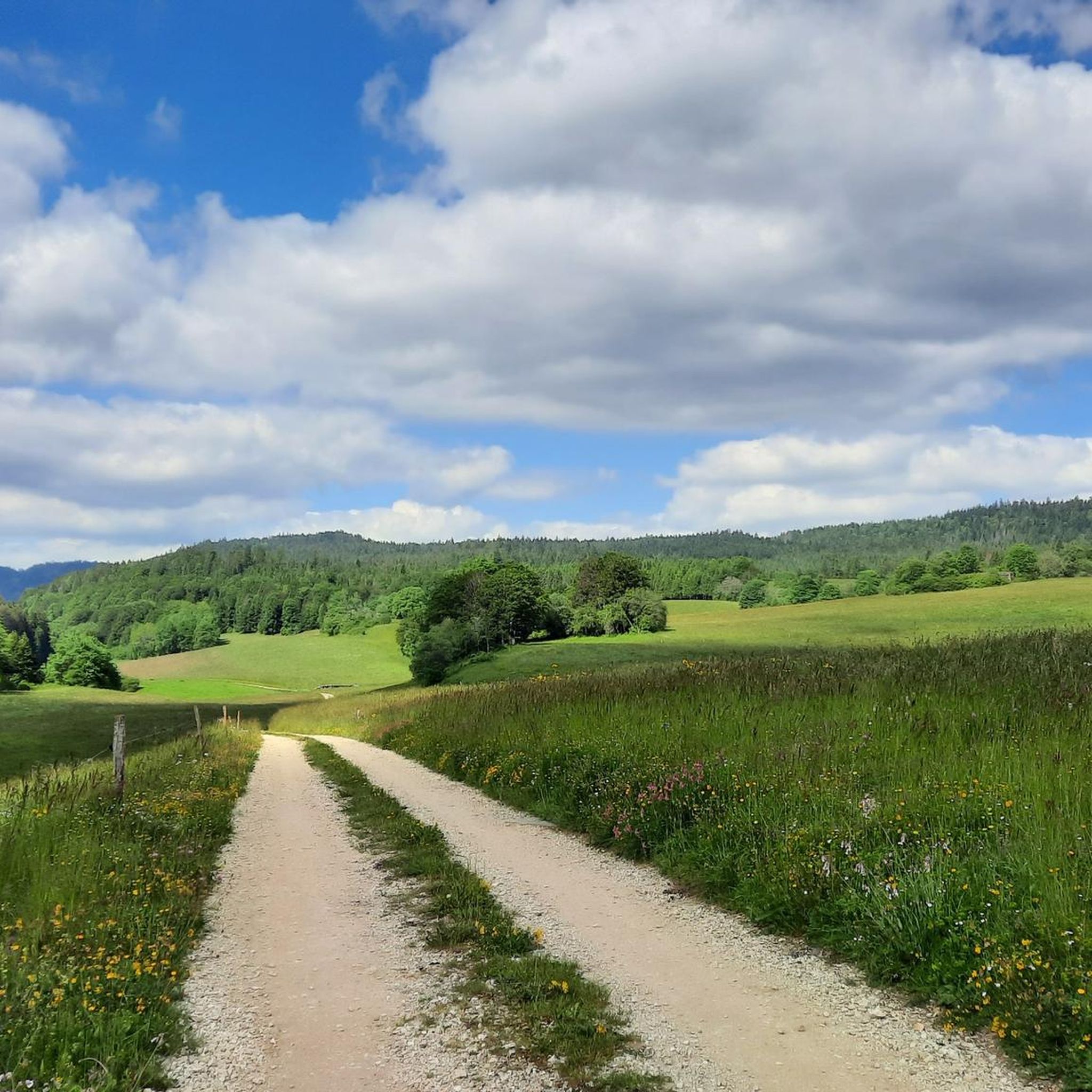
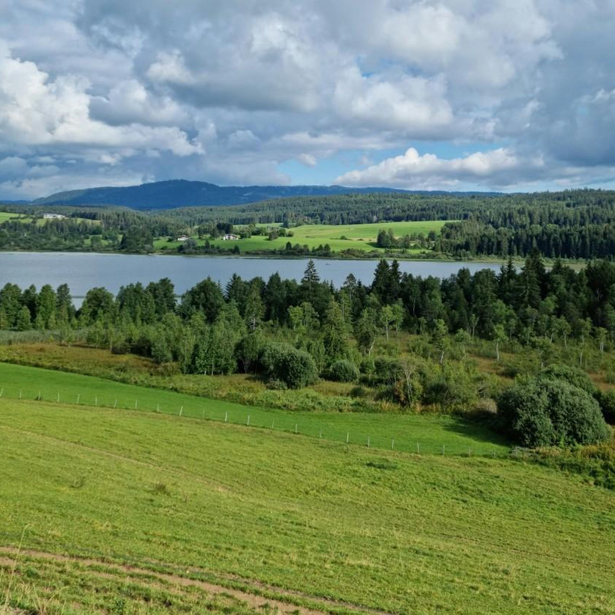
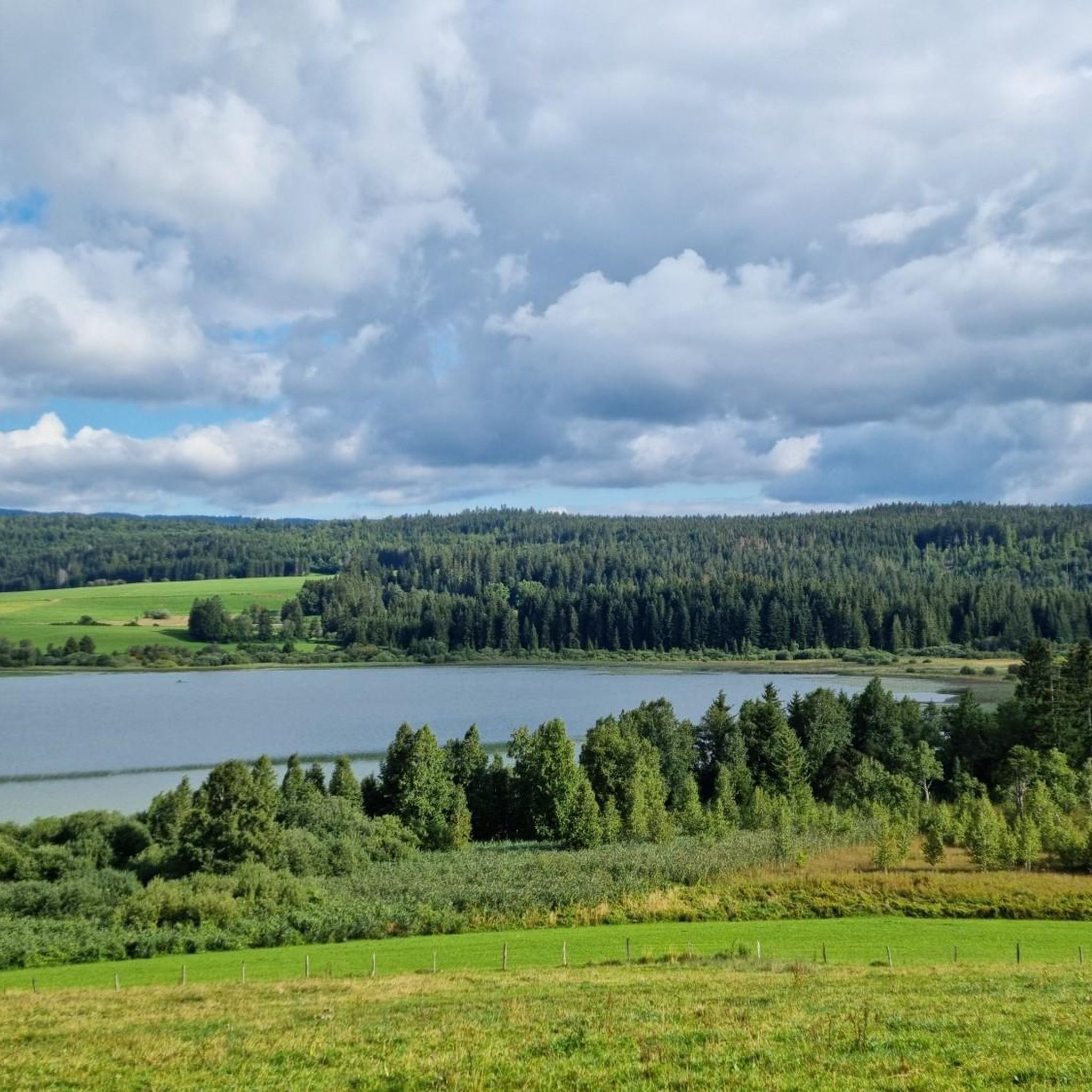
Gravel biking around Remoray-Boujeons offers routes through a landscape characterized by lakes, rivers, and elevated terrain. The region features areas like the Lake Saint-Pont and the Doubs Waterfall, alongside peat bogs and hills such as the Col de Landoz-Neuve. These varied natural features provide a diverse environment for gravel cycling, often incorporating forest tracks and unpaved roads. The trails frequently include significant elevation changes, catering to riders seeking challenging routes.
Best gravel bike trails around Remoray-Boujeons
- The most popular gravel…
Last updated: October 19, 2026
5.0
(1)
16
riders
48.1km
03:17
730m
730m
Hard gravel ride. Very good fitness required. Mostly paved surfaces.
3.0
(1)
25
riders
124km
08:25
2,010m
2,010m
Hard gravel ride. Very good fitness required. You may need to push your bike for some segments of this route.

6
riders
27.0km
02:05
400m
400m
Moderate gravel ride. Good fitness required. Mostly paved surfaces.
3.7
(3)
8
riders
36.2km
02:25
520m
520m
Hard gravel ride. Very good fitness required. Mostly paved surfaces.
5.0
(1)
7
riders
43.5km
03:02
910m
910m
Hard gravel ride. Very good fitness required. Mostly paved surfaces.
Get access to more routes and recommendations from other explorers.
Already have an account?
Our route recommendations are based on thousands of hikes, rides, and runs completed by other people on komoot.
Start today with a free account
Your next adventure awaits.
Tips from the Community


Viewpoint above the Doubs source with beautiful views through a forest clearing to Mouthe and the Doubs river.
6
0
The source of the Doubs River is a powerful karst spring in a heavily karstified area of the Jura Mountains. It lies at an altitude of 937 meters at the foot of the forested, up to 1,419-meter-high Mont Risoux mountain range, which straddles the border between France and Switzerland. The Doubs River rises from a small, approximately five-meter-deep spring basin in a cave in the rock.
6
0

Built between 1845 and 1851 in the commune of La-Cluse-et-Mijoux, at an altitude of 1032 m, with the mission of protecting Fort de Joux and defending the Pontarlier passage.
0
0

Great ride with a slightly difficult section, pure bliss
0
0

We did a 3-day mountain bike trip in this magnificent region, the routes are great 👍
0
0

Chaux-Neuve is a small town in the Doubs region that hosts an international Nordic Combined World Cup event every year. To the south of the town, you can't miss these three large ski jumps, the largest of which rises to 118 meters.
0
0
Frequently Asked Questions
How many gravel bike trails are available around Remoray-Boujeons?
There are over 40 gravel bike routes in the Remoray-Boujeons area, offering a wide range of options for different skill levels and preferences.
Are there easy gravel bike trails suitable for beginners or families?
Yes, while many routes feature significant elevation changes, there are a few easier options. For a relatively gentle introduction, consider the Chapelle-des-Bois – Chapelle-des-Bois loop from Petite-Chaux, which takes you through wooded areas and rural landscapes.
What kind of terrain can I expect on gravel bike trails near Remoray-Boujeons?
The region offers a diverse landscape characterized by lakes, rivers, peat bogs, and elevated terrain. You'll encounter forest tracks, unpaved roads, and routes with significant elevation changes, providing a varied environment for gravel cycling.
Are there any long-distance gravel bike routes for experienced riders?
Absolutely. For a challenging and extensive ride, the Mouthe peat bog – View of the Château de Joux loop from Labergement-Sainte-Marie covers over 76 miles (122 km) and traverses the Mouthe peat bog, offering panoramic views.
What are some scenic highlights or attractions I can see along the gravel bike trails?
Many routes offer stunning views and pass by notable attractions. You can explore areas around Lac de Saint-Point, the Doubs Waterfall, and the source of the Doubs. Some trails also provide views of the Mont d'Or and the Château de Joux.
Are there circular gravel bike routes available?
Yes, many of the gravel bike trails in the Remoray-Boujeons area are designed as loops. For example, the Mouthe – Col de Landoz-Neuve loop from Mouthe is a popular circular option that includes significant climbs.
What is the best season for gravel biking around Remoray-Boujeons?
The best time for gravel biking in this region is generally from late spring through early autumn (May to October), when the weather is milder and the trails are most accessible. Always check local weather conditions before heading out, especially in higher elevations.
What do other gravel bikers enjoy most about gravel biking in Remoray-Boujeons?
The area is highly rated by the komoot community, with an average score of 3.8 stars. Reviewers often praise the diverse landscape, including lakes and peat bogs, and the challenging elevation changes that make for rewarding rides.
Are there any routes that offer views of the Château de Joux?
Yes, the View of the Château de Joux – La Cluse-et-Mijoux loop from Labergement-Sainte-Marie is a route that specifically highlights views of the Château de Joux, alongside other scenic points.
Where can I find parking for gravel bike trails in Remoray-Boujeons?
Many trailheads, especially those starting from villages like Malbuisson, Labergement-Sainte-Marie, or Mouthe, offer designated parking areas. It's advisable to check the specific tour details on komoot for parking information related to your chosen route.
Are there any routes that explore the peat bogs in the region?
Yes, the Mouthe peat bog – View of the Château de Joux loop from Labergement-Sainte-Marie is an excellent option for exploring the unique landscape of the Mouthe peat bog.
Most popular routes around Remoray-Boujeons
Most popular attractions around Remoray-Boujeons

Get inspired with the komoot mobile app


Explore more
Browse the best Gravel rides in other regions.
