The best gravel rides around Scientrier
4.5
(71)
562
riders
61
rides
Gravel biking around Scientrier offers diverse terrain in the Haute-Savoie department of southeastern France. The region is characterized by river valleys, such as the Arve, and provides access to varied landscapes including forest tracks and views of surrounding mountains like the Aravis and Belledone ranges. Scientrier's location allows for routes that combine unpaved roads with quiet country paths, suitable for gravel cyclists seeking both adventure and scenic cruising.
Best gravel bike trails around Scientrier
- The most popular gravel bike trail…
Last updated: July 16, 2026
4.8
(4)
34
riders
27.0km
01:33
130m
130m
Easy gravel ride. Great for any fitness level. Mostly paved surfaces. Suitable for all skill levels.
4.6
(7)
38
riders
Hard gravel ride. Very good fitness required. Mostly paved surfaces. Suitable for all skill levels.

Sign up for free
4.2
(5)
17
riders
27.2km
01:45
270m
270m
Moderate gravel ride. Good fitness required. Mostly paved surfaces. Suitable for all skill levels.
4.8
(5)
36
riders
Moderate gravel ride. Good fitness required. Mostly paved surfaces. Suitable for all skill levels.
4.0
(1)
29
riders
54.8km
03:19
530m
520m
Hard gravel ride. Very good fitness required. Mostly paved surfaces. Suitable for all skill levels.
Get access to more routes and recommendations from other explorers.
Sign up for free
Already have an account?
Our route recommendations are based on thousands of hikes, rides, and runs completed by other people on komoot.
Start today with a free account
Your next adventure awaits.
Login or Signup
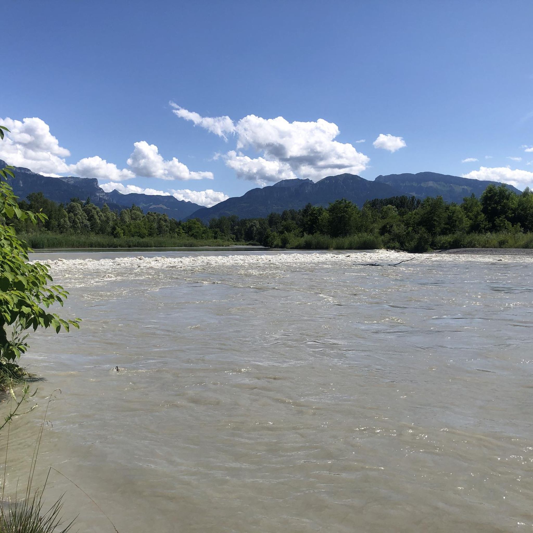
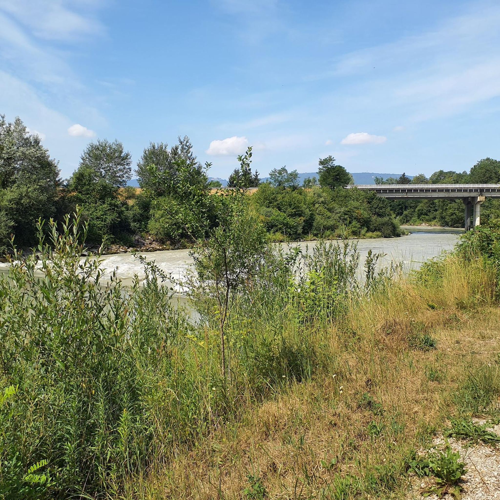
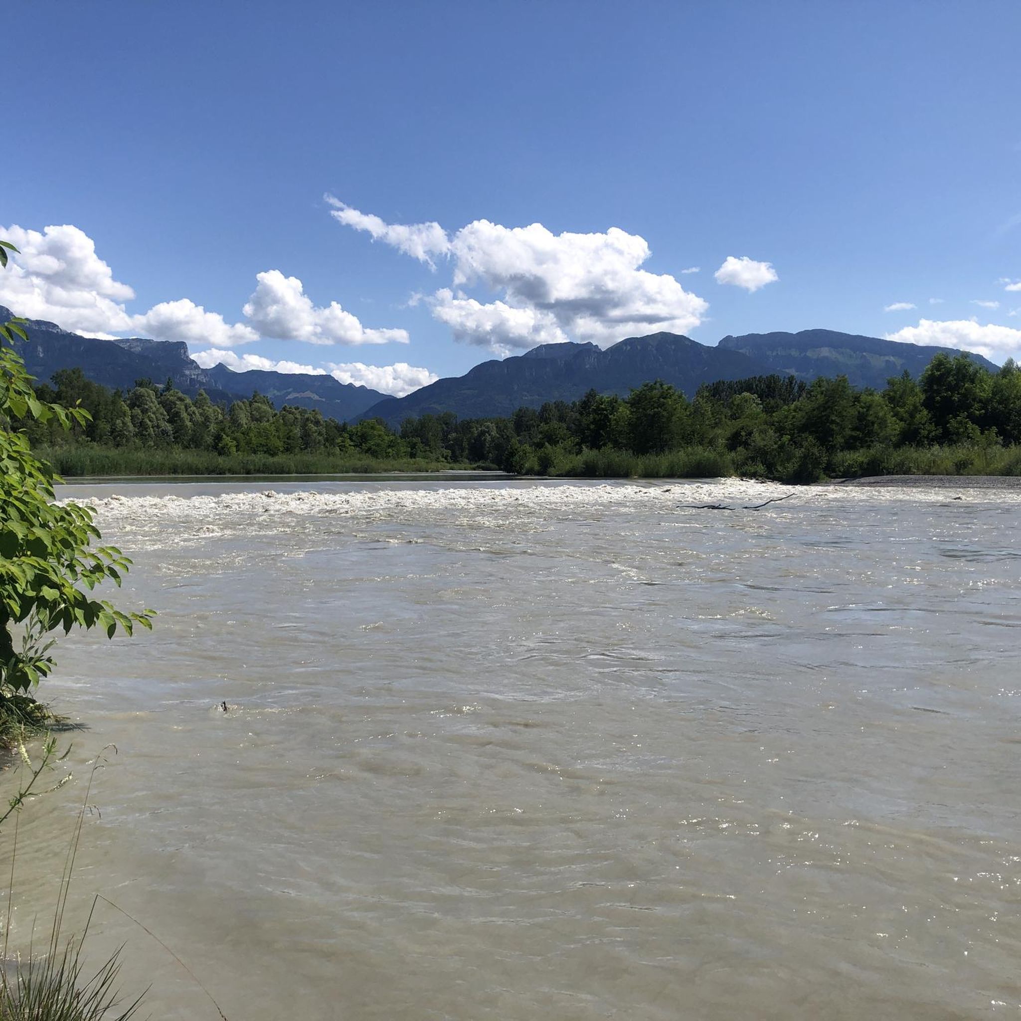
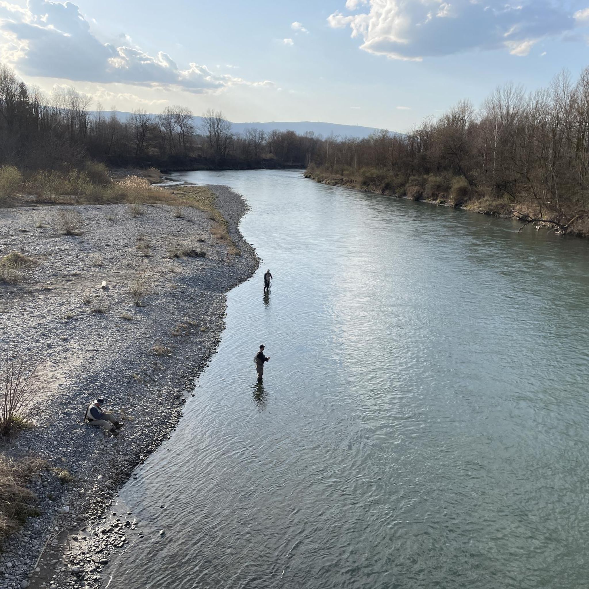
Tips from the Community

nice
0
0


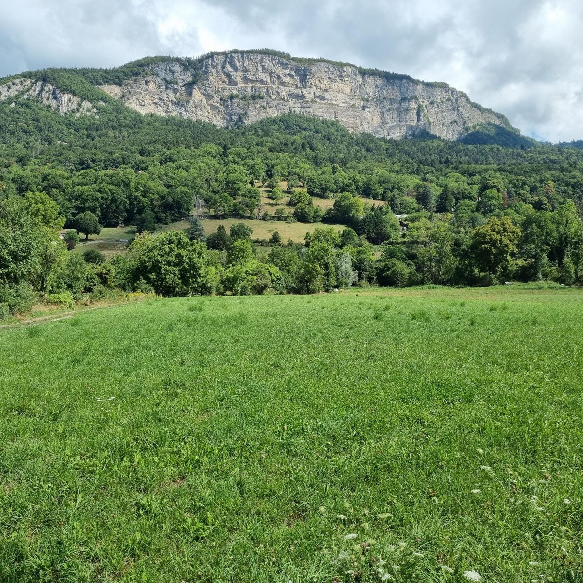
We savor the Môle from all angles, especially on the last part of the journey
0
0

Pretty church that is worth a look.
0
0

The structure is an asymmetrical cable-stayed bridge made of pre-stressed concrete, approximately 75 metres long. The pylon inclined at 15° to the vertical has the shape of an inverted V; the deck crosses this pylon without resting on it.
1
0
The bridge is an element of the birth of the city, built from 1225. It was initially made of wood resting on the islands of the Arve to connect the two banks. In 1661, the Regent Marie-Jeanne-Baptiste of Savoy-Nemours had a stone bridge with five arches built. Between 1862 and 1866, it was replaced by the current bridge, built by the engineers Deglin and Vivenot. It was named "Pont de l'Europe" when Valérie Giscard d'Estaing passed through Bonneville in 1989, during the campaign for the European elections. Downstream, it was doubled in 2010 by a second asymmetrical cable-stayed bridge whose elegant silhouette is already part of Bonneville's architectural heritage.
1
0
Intersection point Les Sablons Altitude 431m
1
0
Frequently Asked Questions
How many gravel bike trails are available around Scientrier?
There are over 70 gravel biking routes around Scientrier, offering a wide range of options for different skill levels. You'll find everything from moderate rides to more challenging routes with significant elevation.
What kind of terrain can I expect on gravel bike trails near Scientrier?
The terrain around Scientrier is diverse, characterized by river valleys like the Arve, forest tracks, and quiet country roads. You can expect a mix of unpaved sections and smoother paths, often with views of surrounding mountains such as the Aravis and Belledone ranges. Some routes also feature significant elevation changes.
Are there any family-friendly gravel biking routes in Scientrier?
Yes, there are several routes suitable for families. For instance, the Footbridge over the Arve – Arve Path loop from Nangy is a moderate 16.8-mile (27.1 km) path with less elevation gain, making it a good option for a family outing along the Arve Path.
What are some scenic natural features or landmarks I can see while gravel biking in the area?
The region offers stunning natural beauty. You can enjoy mountainous panoramas, especially views of the Mont Blanc massif from higher points. The trails often lead through forests and alpine pastures. While not directly on every gravel route, nearby attractions include the scenic Lac d'Annecy, and you might encounter highlights like the View of Mont Blanc and Lake Annecy from Mont Salève or the Croisette Pass.
Are there any routes that feature waterfalls?
Yes, the region has beautiful natural water features. The Arve Path – Arpenaz Waterfall loop from Reignier is a longer route that takes you towards the Arpenaz Waterfall, offering a picturesque destination during your ride.
What is the best time of year for gravel biking around Scientrier?
The Haute-Savoie department, where Scientrier is located, is ideal for outdoor activities from spring through autumn. The best time for gravel biking is generally from late spring to early autumn (May to October) when the weather is mild, and trails are clear of snow, allowing for comfortable riding and optimal views.
Are there any circular gravel biking routes available?
Many of the gravel routes around Scientrier are designed as loops, allowing you to start and end at the same point. For example, the popular Footbridge over the Arve – Arve Path loop from La Roche-sur-Foron is a circular trail following the Arve Path.
What do other gravel bikers say about the trails in Scientrier?
The routes in Scientrier are highly rated by the komoot community, with an average score of 4.5 stars from over 50 reviews. Many riders appreciate the varied terrain, the scenic riverside views along the Arve, and the combination of unpaved and quiet country roads that make for an engaging gravel biking experience.
Are there any longer, more challenging gravel routes for experienced riders?
Yes, for experienced riders seeking a challenge, there are more difficult routes with greater elevation gain. The Ponds on the banks of the Arve – Bridge in Bonneville loop from Marcellaz is a 26.5-mile (42.6 km) trail with significant elevation, leading through riverine landscapes towards Bonneville, often completed in about 3 hours and 24 minutes.
Where can I find parking for gravel biking trails near Scientrier?
While specific parking areas for each trailhead are not detailed here, Scientrier and nearby towns like La Roche-sur-Foron, Nangy, and Reignier-Ésery typically offer public parking facilities. It's advisable to check local parking options in the starting village of your chosen route.
Can I access gravel biking trails near Scientrier using public transport?
Scientrier is located in the Haute-Savoie department, which has a regional public transport network. While direct access to every trailhead by public transport might vary, major towns in the area, such as La Roche-sur-Foron, are generally well-connected, offering potential starting points for rides.
Are there any cafes or places to eat near the gravel biking routes?
Scientrier and the surrounding villages like La Roche-sur-Foron, Nangy, and Marcellaz offer local amenities including cafes and restaurants where you can refuel before or after your ride. It's a good idea to check opening hours, especially in smaller villages.
Most popular routes around Scientrier
Most popular attractions around Scientrier

Get inspired with the komoot mobile app


Explore more
Browse the best Gravel rides in other regions.
