The best gravel rides around Leval
5.0
(2)
25
riders
12
rides
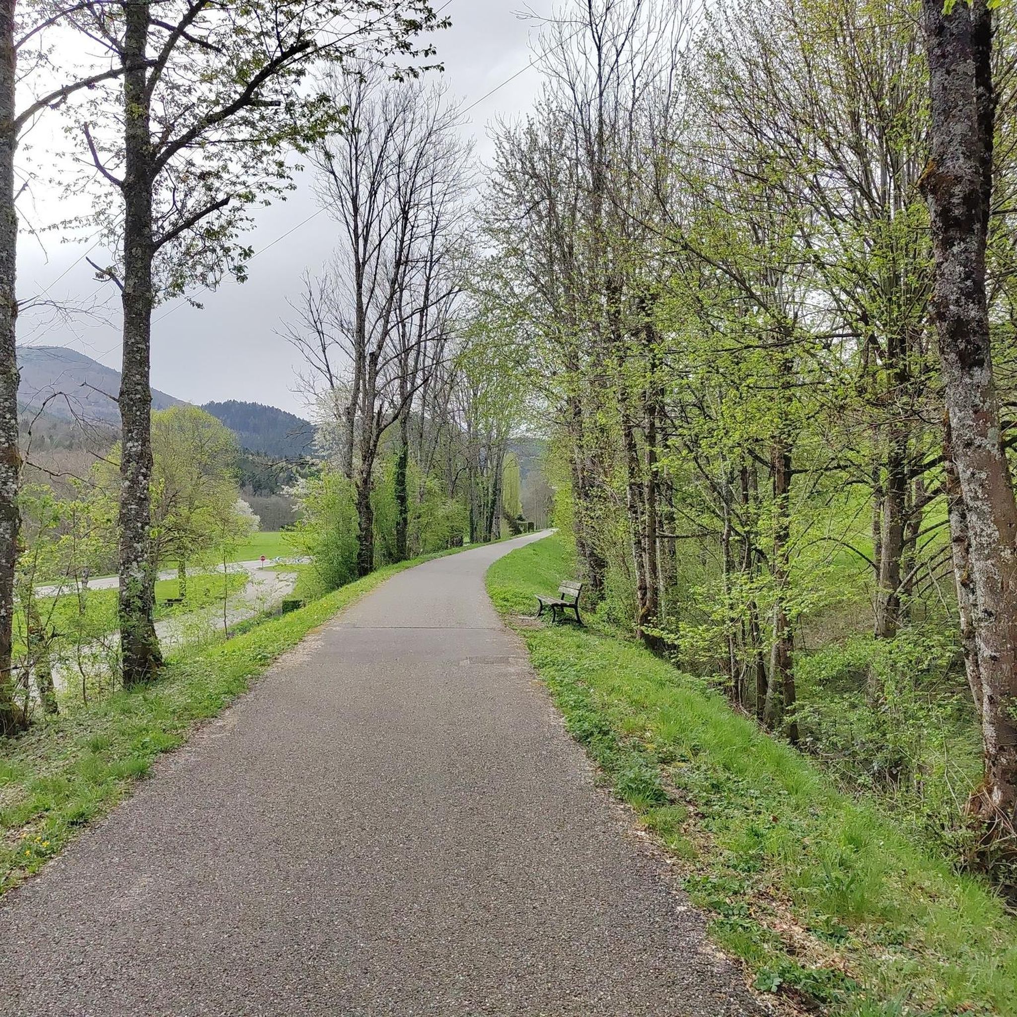
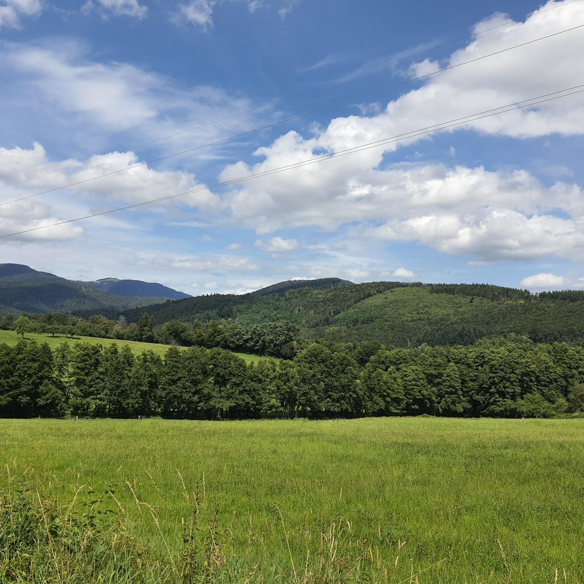
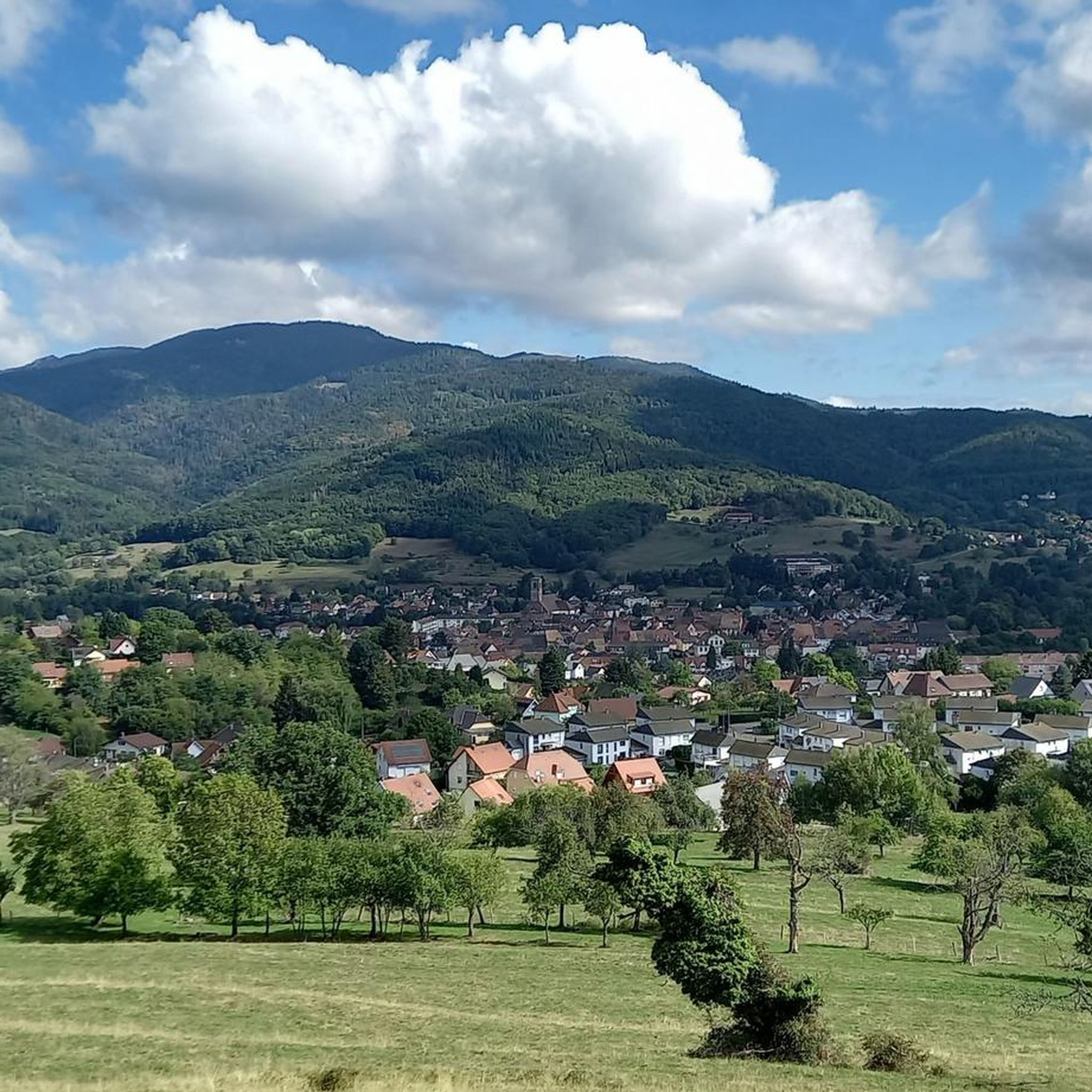
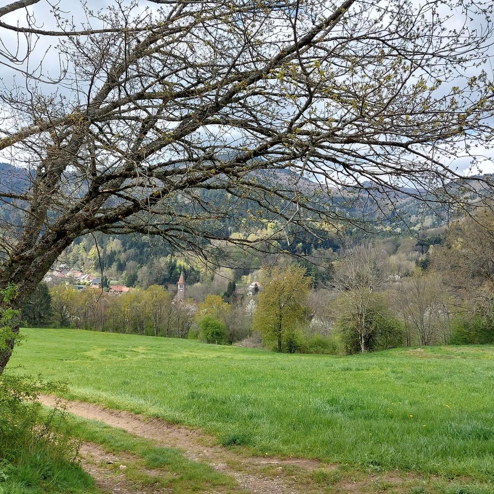
Gravel biking around Leval offers a diverse landscape characterized by rolling hills, forested valleys, and open terrain. The region features a network of gravel paths and unpaved roads suitable for various skill levels. With 17 distinct gravel bike trails, including 6 moderate and 11 difficult options, Leval provides opportunities for both casual rides and challenging ascents. The terrain often includes varied surfaces, from compacted gravel to forest tracks, with elevations reaching over 1000 meters on some routes.
Best gravel bike trails around Leval
- The most popular gravel bike trail is Les deux Traubach, a 12.2 miles (19.7 km) trail that takes 1 hour 26 minutes to complete. This moderate route features an elevation gain of 555 feet (169 meters) through varied terrain.
- Another top favourite among local gravel bikers is Le vallon du Traubach, a moderate 9.3 miles (15.0 km) path. This route navigates through the Traubach valley, offering an elevation gain of 595 feet (181 meters) and scenic views.
- Local gravel bikers also love the Le vallon du Steinbach, a 6.9 miles (11.1 km) trail leading through the Steinbach valley, often completed in about 55 minutes. This moderate route includes an elevation gain of 370 feet (113 meters).
- Gravel biking around Leval is defined by forested valleys, rolling hills, and challenging ascents like the Hundsruck Pass. The network offers options for different ability levels, from moderate valley rides to difficult mountain passes.
- The routes in Leval are highly rated by the komoot community with an average score of 4.75 stars from over 3 reviews. More than 30 gravel bikers have used komoot to explore Leval's varied terrain.
Last updated: July 3, 2026
19.7km
01:27
170m
170m
Moderate gravel ride. Good fitness required. Mostly paved surfaces. Suitable for all skill levels.
15.0km
01:14
180m
180m
Moderate gravel ride. Good fitness required. Some segments of this route may be unpaved and difficult to ride.

Sign up for free
11.1km
00:55
110m
120m
Moderate gravel ride. Great for any fitness level. Some segments of this route may be unpaved and difficult to ride.
5.0
(2)
16
riders
67.9km
04:42
1,380m
1,380m
Hard gravel ride. Very good fitness required. Mostly paved surfaces. Suitable for all skill levels.
4
riders
44.9km
03:30
1,100m
1,100m
Hard gravel ride. Very good fitness required. You may need to push your bike for some segments of this route.
Get access to more routes and recommendations from other explorers.
Sign up for free
Already have an account?
Our route recommendations are based on thousands of hikes, rides, and runs completed by other people on komoot.
Start today with a free account
Your next adventure awaits.
Login or Signup
Tips from the Community

Nice climb, very good asphalt. Little traffic (during the week in early June).
0
0

The Château du Herrenfluh is a medieval ruin at an altitude of 858 metres. It was built in 1312 by Johan von Sankt Amarin, nicknamed Nordwind, and served as a lookout post for the princes-abbatons of Murbach. Due to its strategic location, the castle offered a panoramic view over Alsace, all the way to the foothills of the Jura. In 1376, it was captured by English mercenaries and later, in 1468, destroyed by the Swiss. During the First World War, the site was again used as a French observation post. Today, some ruins are still visible, and volunteers are working to preserve the remains. It is an interesting historical site along the Route des Crêtes.
7
0


A beautiful, not too challenging climb on a wide, well-paved road. More views from the south than from the north.
0
1
The climb of the Col Amic from Soultz-Haut-Rhin is a beautiful and accessible climb in the Vosges, ideal for cyclists who love regularity and nature. The climb is 12.1 km long, bridges 559 meters of altitude and has an average gradient of 4.6%. The route winds through a quiet, wooded area and offers beautiful views of the Alsatian plain along the way. The summit is at 829 meters and forms a junction towards the Grand Ballon or the Hartmannswillerkopf massif. Thanks to its even profile, this climb is suitable for both recreational cyclists and athletic climbers.
6
0

On the Route des Crêtes, in a magnificent balcony section.
0
0

The small Alsatian town of Thann was first mentioned in documents in 1290 (city charter 1360). Three years earlier, however, a church was mentioned that was dedicated to Saint Theobald (Ubald of Gubbio, died 1160), the Bishop of Gubbio. A finger relic of him is venerated in the church, which miraculously arrived in the Vosges from Italy. Construction of the current collegiate church began in the first half of the 14th century (southern aisle, lower part of the west façade). Construction of the choir and tower began in 1351. The Marian tympanum above the west portal was built around 1400, which depicts the life of the Mother of God based on biblical and apocryphal reports. The choir was consecrated in 1432. From around 1490, construction began again under master builder Remigius Faesch: he completed the northern aisle by 1492, and the central aisle in 1495. Faesch completed the church tower in 1516. In 1629-31, the Chapel of Our Lady was built on the southern nave. From 1887 to 1895, the cathedral received buttress pinnacles and colorful tiled roofs (Wikipedia).
2
0

One of the most beautiful climbs in the Vosges and a must to ride once. My favorite side is the one from Moosch or Soultz
4
1
Frequently Asked Questions
How many gravel bike trails are available around Leval?
Leval offers a total of 17 distinct gravel bike trails. This includes 6 moderate options and 11 more difficult routes, providing a good range for various skill levels.
What kind of terrain can I expect on gravel bike trails in Leval?
The terrain around Leval is quite diverse, featuring rolling hills, forested valleys, and open areas. You'll encounter varied surfaces, from compacted gravel to forest tracks, with some routes including challenging ascents like the Hundsruck Pass.
Are there any family-friendly gravel bike trails in Leval?
While the guide primarily lists moderate and difficult routes, some of the moderate valley rides could be suitable for families with older children or those comfortable with varied surfaces. For example, the Le vallon du Steinbach is a shorter moderate route that might be a good starting point.
What are some good options for beginner gravel bikers in Leval?
Beginners can start with the moderate routes that navigate through the valleys. The Les deux Traubach route is a popular moderate option, offering varied terrain without extreme elevation. Another good choice is Le vallon du Traubach, which explores the scenic Traubach valley.
Where can I find challenging gravel bike routes in Leval?
For advanced gravel bikers seeking a challenge, Leval has 11 difficult routes. A notable option is the Hundsruck Pass – Hundsruck loop from Masevaux-Niederbruck, which features significant elevation gain over its 44.5 km distance, including the demanding Hundsruck Pass.
Are there any circular gravel bike trails around Leval?
Yes, many of the gravel bike routes in Leval are designed as loops. For instance, the challenging Hundsruck Pass – Hundsruck loop from Masevaux-Niederbruck is a circular route, allowing you to start and finish at the same point.
What are some scenic viewpoints or natural attractions along the gravel trails?
The region offers several scenic spots. You can find beautiful views from the Fuchsfelsen Viewpoint or enjoy expansive vistas from Chalet Zuber, which provides views of Thannerhubel, Markstein, Grand Ballon, and Molkenrain. The Michelbach Lake is another natural highlight in the area.
Are there any places to eat or rest near the gravel bike trails?
Yes, you can find places to stop and refuel. The Gsang Farm Inn is a highlight in the area, offering a place to eat. Additionally, the Chalet Zuber might also offer refreshments or a place to rest.
What do other gravel bikers say about the trails in Leval?
The gravel biking experience in Leval is highly regarded by the komoot community, with an average rating of 4.75 stars from over 3 reviews. Users often appreciate the diverse landscape, including forested valleys and challenging ascents, and the variety of routes available for different skill levels.
Is there public transport access to any of the gravel biking areas in Leval?
While specific routes with direct public transport access aren't detailed, the presence of the Sentheim Train Station in the vicinity suggests that some areas around Leval might be accessible by train, potentially allowing for rides that start or end near a station.
What is the best time of year for gravel biking in Leval?
Leval's diverse terrain with rolling hills and forested valleys makes it enjoyable across multiple seasons. Spring and autumn generally offer pleasant temperatures and beautiful scenery. While winter conditions can vary, some routes might be accessible, but it's always advisable to check local weather and trail conditions beforehand.
Most popular attractions around Leval

Get inspired with the komoot mobile app


Explore more
Browse the best Gravel rides in other regions.
