The best gravel rides around Beaucourt
4.3
(8)
24
riders
10
rides
Gravel biking around Beaucourt offers varied terrain at the western edge of the Alsace Trench, shaped by the last foothills of the Jura massif. The region features rolling hills and diverse inclines, with the Grammont Hill and the broader Lomonts chain providing elevated sections. Forested areas, natural heritage sites like the Savoureuse Valley Nature Reserve, and canal towpaths along the Montbéliard–Haute-Saône Canal are integrated into the routes, offering varied surfaces and backdrops. The Allan River also provides riverside paths and green spaces suitable for cycling.
Best gravel bike trails around Beaucourt
- The most popular gravel bike trail is Savour Montbeliard, a 14.4 miles (23.2 km) trail that takes 1 hour 44 minutes to complete, offering a moderate ride through the local landscape.
- Another top favourite among local gravel bikers is Panoramic view – Bridge over the Allan loop from Montbéliard, a moderate 20.8 miles (33.5 km) path exploring riverine areas and offering scenic views.
- Local gravel bikers also love the The Boundary Trail – Impressive TGV bridge loop from Nommay, a 19.3 miles (31.1 km) trail leading through varied terrain, often completed in about 2 hours 10 minutes.
- Gravel biking around Beaucourt is defined by rolling hills of the Jura massif foothills, varied inclines, and forested areas. The network offers options for different ability levels, from moderate to difficult routes.
- The routes in Beaucourt are highly rated by the komoot community with an average score of 4.5 stars from over 8 reviews. More than 10 gravel bikers have used komoot to explore Beaucourt's varied terrain.
Last updated: July 3, 2026
4.0
(6)
5
riders
23.2km
01:45
130m
130m
Moderate gravel ride. Great for any fitness level. Some segments of this route may be unpaved and difficult to ride.
198km
16:25
2,950m
3,030m
Hard gravel ride. Very good fitness required. You may need to push your bike for some segments of this route.

Sign up for free
4.7
(3)
4
riders
31.6km
02:11
290m
290m
Moderate gravel ride. Good fitness required. Mostly paved surfaces. Suitable for all skill levels.
10
riders
40.0km
02:19
230m
230m
Moderate gravel ride. Good fitness required. Mostly paved surfaces. Suitable for all skill levels.
Get access to more routes and recommendations from other explorers.
Sign up for free
Already have an account?
Our route recommendations are based on thousands of hikes, rides, and runs completed by other people on komoot.
Start today with a free account
Your next adventure awaits.
Login or Signup
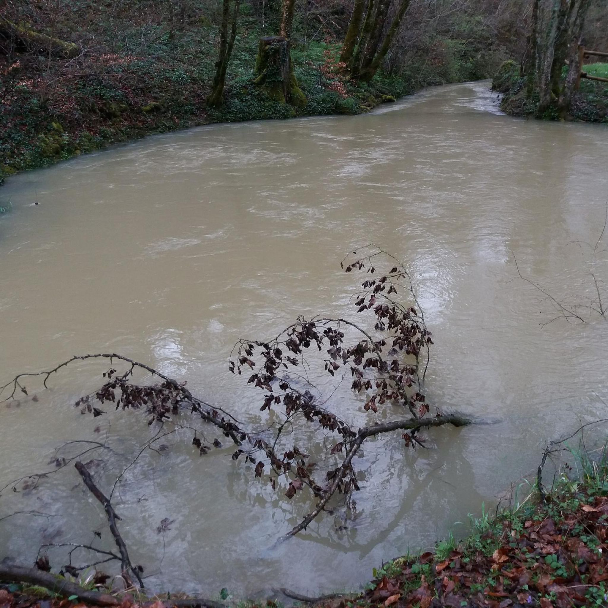
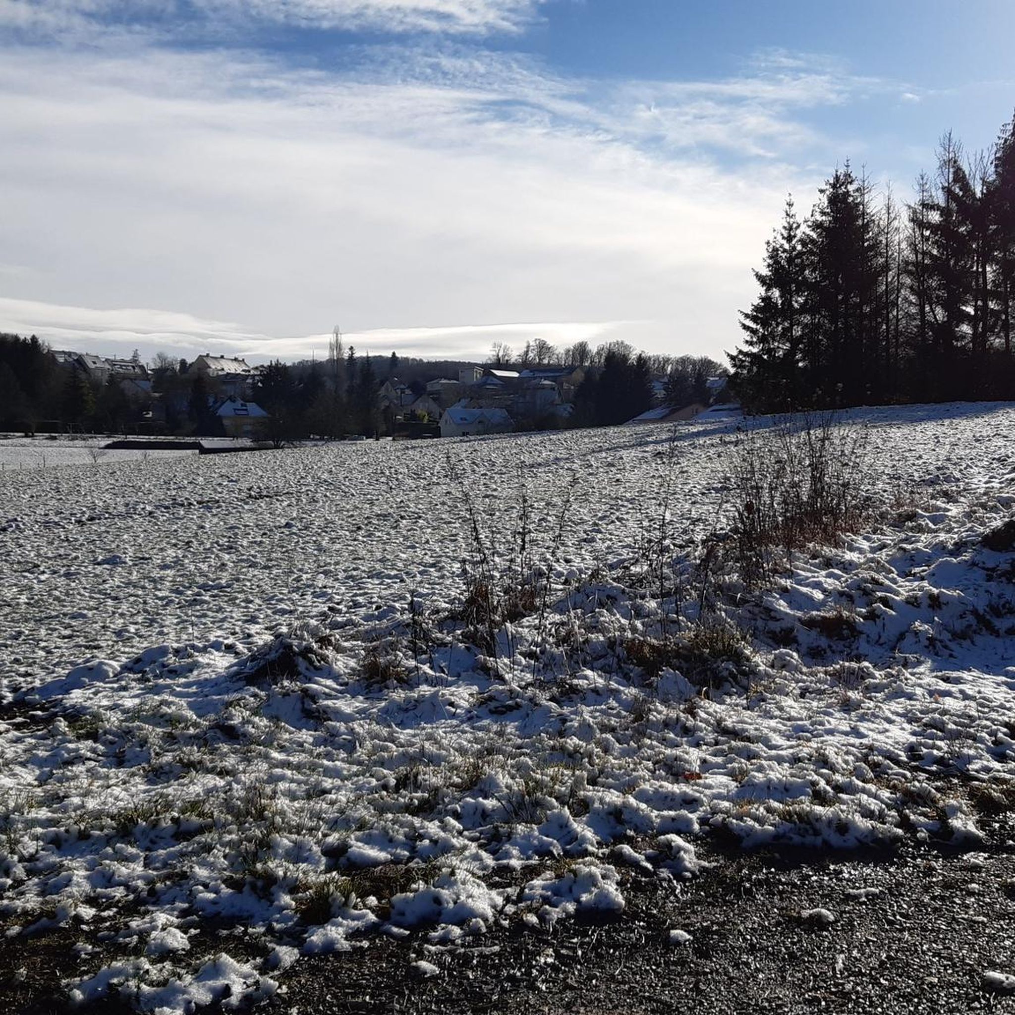

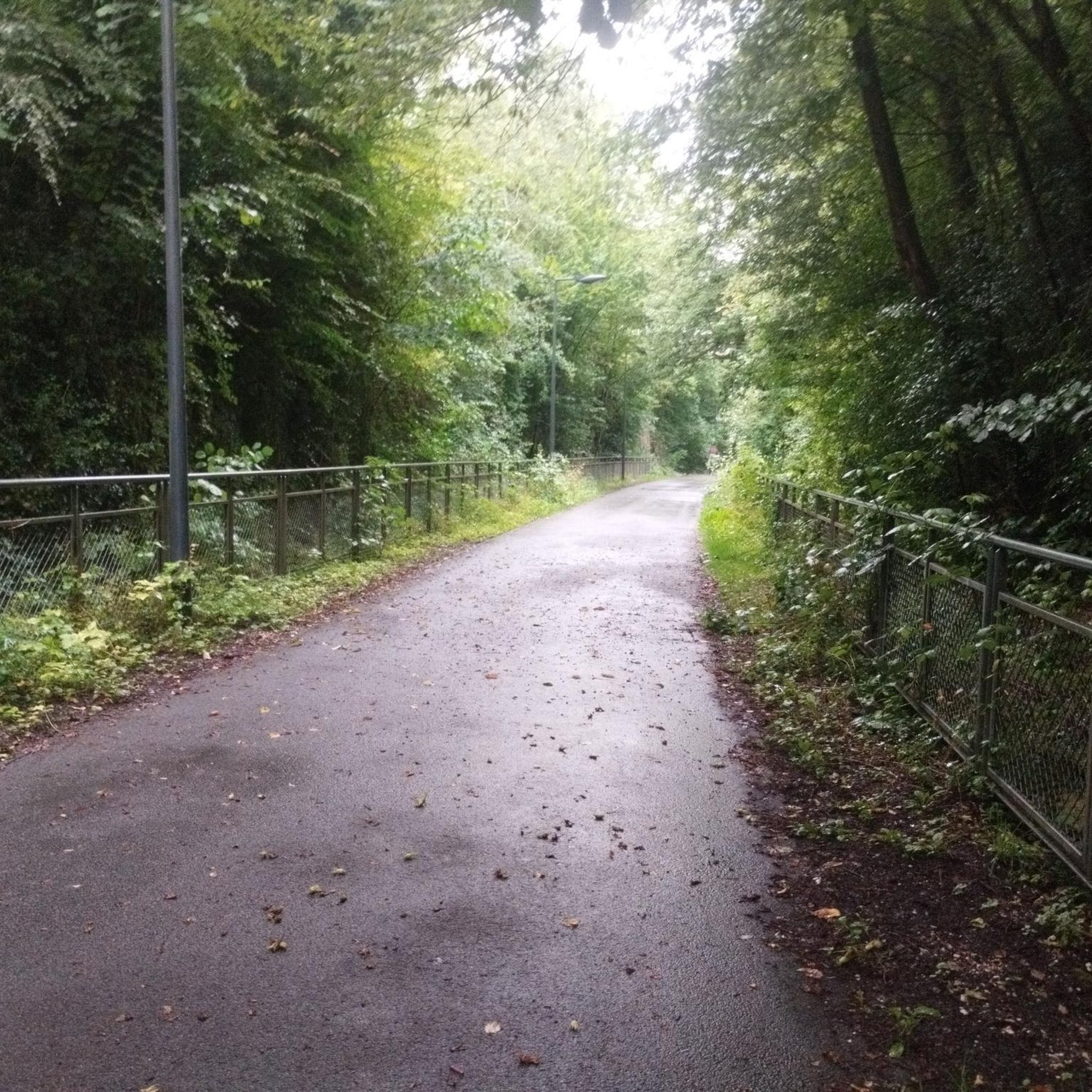
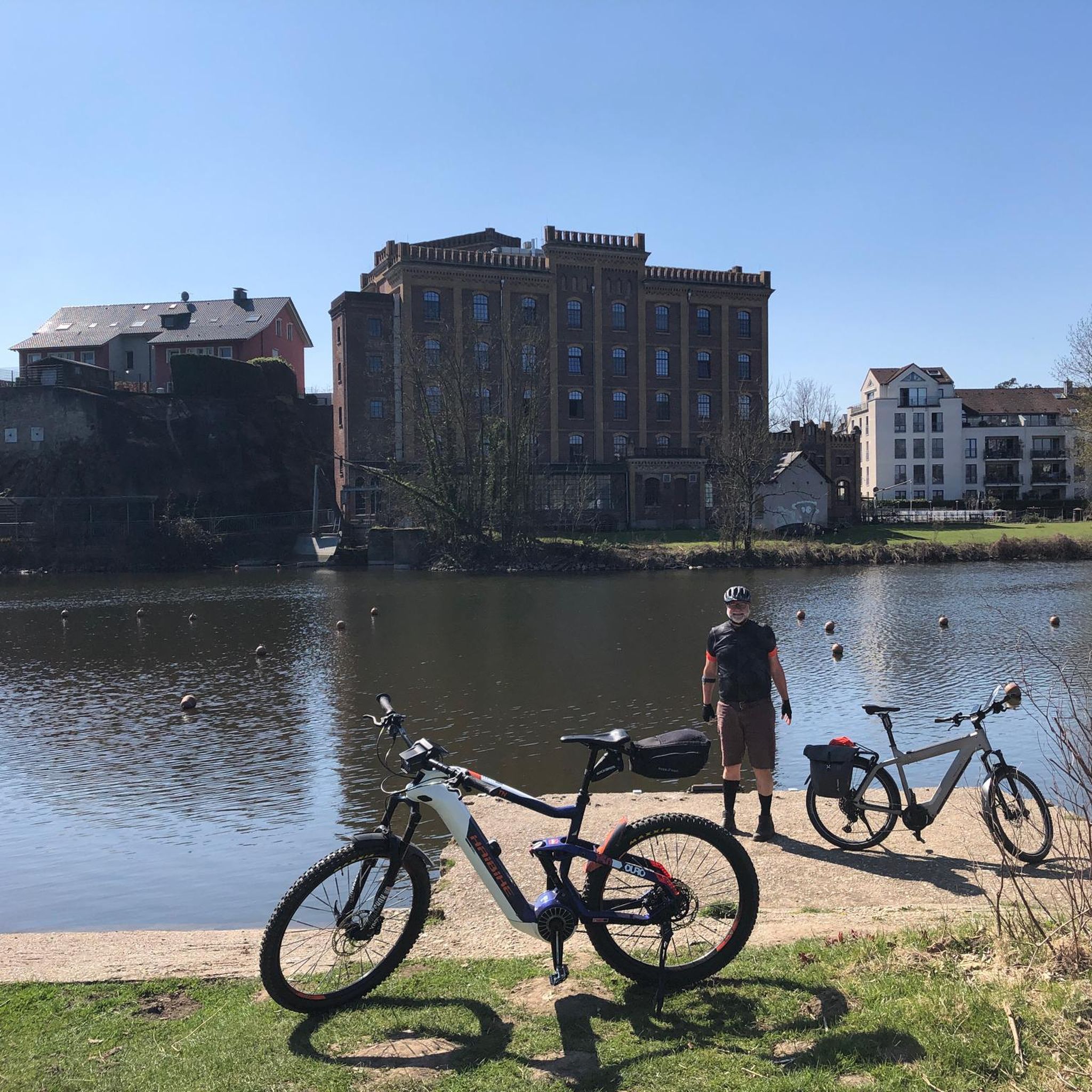
Tips from the Community

Besides the cars, the museum also showcases the astonishing variety of other products from Peugeot.
2
0

A varied trip along the Canal de Montbéliard à la Haut Saône
0
0


A beautiful green paradise between the highway and the city. The birdsong even drowns out the highway noise.
0
0

A beautiful strip of nature with waters and wet meadows, between the motorway and the city, for relaxation and enjoyment of nature.
3
0

Avoid sunny weekend afternoons; it gets far too crowded. Mornings are preferable.
0
0

A "chemin de halage", in German "treidelpfad", which runs alongside the waterway right next to the bed of the river or canal, was an indispensable part of the transport infrastructure in earlier times. Before ships could move using motor power, horses ran along the bank and pulled the ship against the current. This was called "treideln", and this is how the "treidelpfads" got their name, which has been passed down to this day. Where these paths directly on the bank have been preserved, they are often used by hikers and cyclists.
0
1

Well done for sharing this knowledge and thank you for taking the time to share it with us.
0
0
Frequently Asked Questions
How many gravel bike trails are available around Beaucourt?
There are over a dozen dedicated gravel bike trails around Beaucourt, offering a variety of experiences. The komoot community has explored 15 routes in total, ranging from moderate to difficult.
What kind of terrain can I expect on gravel bike trails near Beaucourt?
Gravel biking around Beaucourt features diverse terrain, shaped by the last foothills of the Jura massif. You'll encounter rolling hills, varied inclines, and forested areas. The region includes elevated sections like the Grammont Hill and the broader Lomonts chain, providing a mix of challenging climbs and scenic descents on varied surfaces.
Are there any long-distance gravel routes for experienced riders?
Yes, for experienced riders looking for a significant challenge, consider The benefit of Doubs. This difficult route spans nearly 200 kilometers and involves substantial elevation gain, offering a full-day adventure through the region's diverse landscapes.
What are some notable natural features or landmarks I can see along the gravel routes?
The region boasts a pleasant natural heritage. Along your rides, you might encounter highlights such as the Fontaine de Roches, the unique Dinosaur Tracks of Pommerat, or the scenic Doue Spring. The Pont Sarrazin Natural Arch and the Milandre Caves are also points of interest.
Are there any routes that offer panoramic views?
Yes, the region's topography, including the Grammont Hill, provides opportunities for scenic vistas. For a route that specifically highlights views, check out the Panoramic view – Bridge over the Allan loop from Montbéliard. Additionally, the Mont Renaud Observation Tower is a highlight that offers expansive views.
What do other gravel bikers say about the trails in Beaucourt?
The gravel trails around Beaucourt are highly regarded by the komoot community, with an average rating of 4.7 out of 5 stars from over 15 reviews. Riders often praise the varied terrain, the mix of challenging climbs and picturesque trails, and the natural beauty of the forested areas and rolling hills.
Are there any circular gravel routes available?
Yes, many of the gravel routes around Beaucourt are designed as loops. For example, the EV6 and bridge over the Allan – La Coulée Verte loop from Morvillars and The Boundary Trail – Impressive TGV bridge loop from Nommay are popular circular options that allow you to start and end in the same location.
What is the best time of year for gravel biking in Beaucourt?
The region's climate, influenced by its position at the edge of the Jura massif, generally offers pleasant conditions for cycling during spring, summer, and early autumn. These seasons typically provide milder weather and lush landscapes, ideal for enjoying the varied terrain. Winter conditions can bring snow or ice, making some trails more challenging.
Are there any routes that follow riverine areas or green corridors?
Absolutely. The EV6 and bridge over the Allan – La Coulée Verte loop from Morvillars is an excellent choice for exploring riverine areas and green corridors. You can also find sections along the Montbéliard–Haute-Saône Canal beside the Allan and the Chemin de Halage Allenjoie, EV6, which are popular for their scenic and relatively flat paths.
Are there any easy or beginner-friendly gravel routes around Beaucourt?
While many routes are moderate, the region's varied terrain means there are options suitable for different ability levels. For a moderate introduction, the Savour Montbeliard trail offers a manageable distance and elevation, making it a good starting point for those new to gravel biking in the area.
Where can I find parking for gravel bike trails in Beaucourt?
Specific parking information can vary by trailhead. However, as Beaucourt is a community-focused area, you can generally find public parking in or near the towns and villages that serve as starting points for these routes. It's advisable to check local signage or specific route descriptions for the most convenient parking options.
Are there any cafes or places to stop for refreshments along the gravel routes?
Many of the gravel routes pass through or near small towns and villages in the Beaucourt region, offering opportunities for refreshment stops. While specific cafes are not listed for every route, you can often find local establishments in places like Montbéliard or Morvillars, which are common starting or passing points for several trails.
Most popular attractions around Beaucourt

Get inspired with the komoot mobile app


Explore more
Browse the best Gravel rides in other regions.
