The best gravel rides around Villaroger
4.4
(11)
108
riders
15
rides
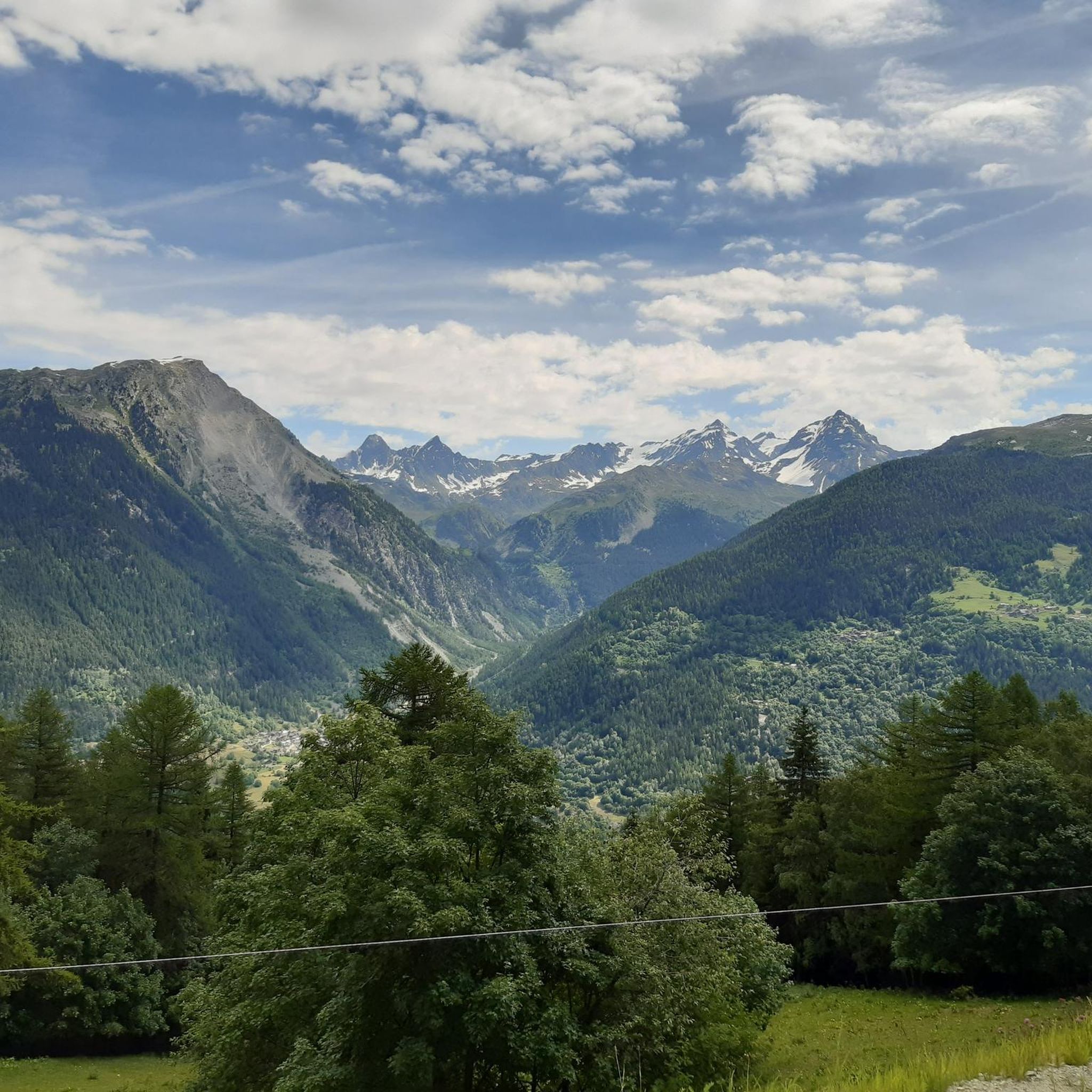
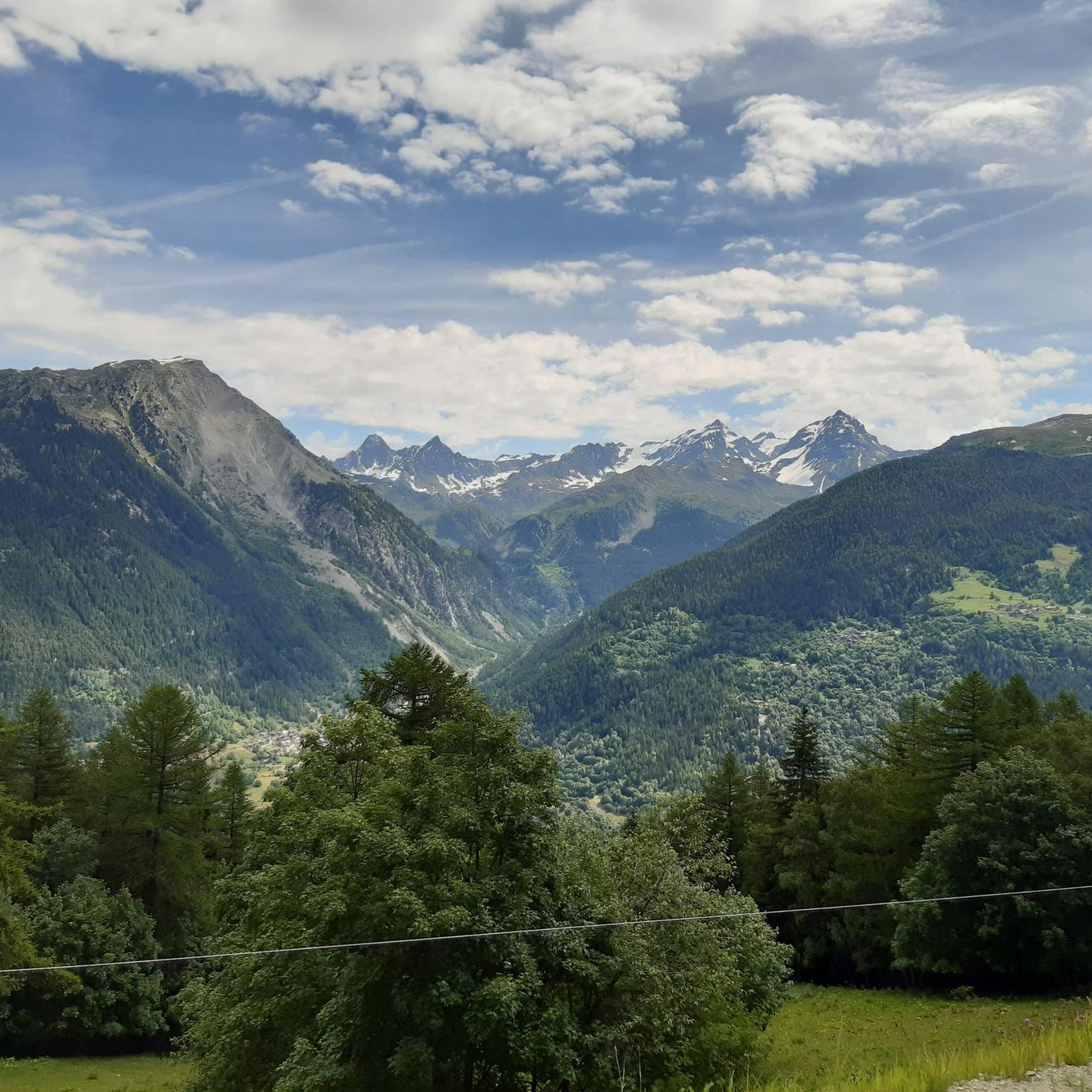
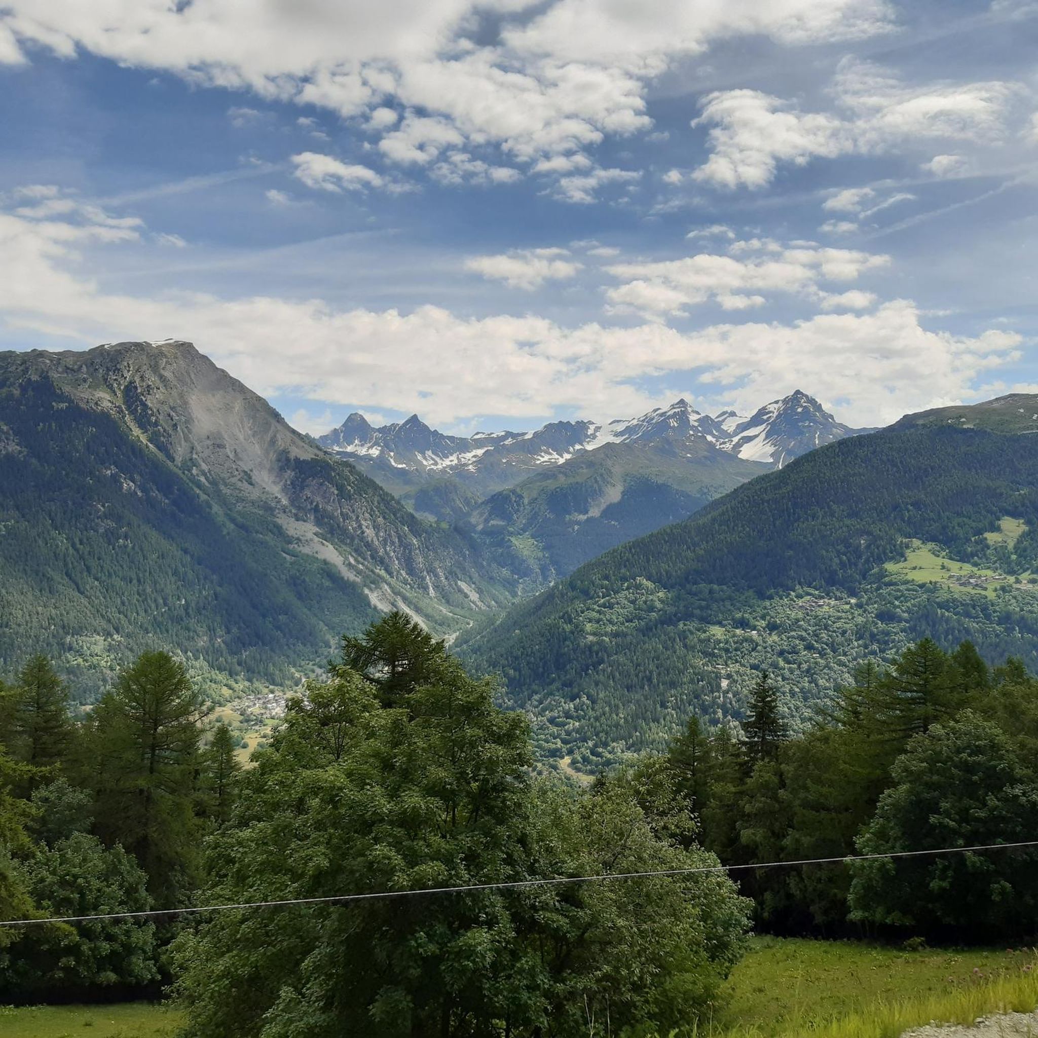
Gravel biking around Villaroger, nestled in the French Alps, offers a diverse landscape characterized by high-alpine terrain, dense forests, and river valleys. The region provides a blend of paved and unpaved routes, including quiet forest roads and designated cycle paths along waterways. Cyclists can navigate varied surfaces, from well-maintained paths to more challenging unpaved segments, with significant elevation changes. Villaroger's proximity to the Vanoise National Park and the Réserve naturelle nationale des Hauts de Villaroger ensures access to extensive natural…
Last updated: October 7, 2026
29
riders
63.1km
04:41
1,750m
1,750m
Hard gravel ride. Very good fitness required. Mostly paved surfaces. Suitable for all skill levels.
4.8
(4)
32
riders
43.2km
03:44
1,640m
1,640m
Hard gravel ride. Very good fitness required. Mostly paved surfaces. Suitable for all skill levels.

4.5
(2)
11
riders
41.8km
04:12
1,560m
1,560m
Hard gravel ride. Very good fitness required. Mostly paved surfaces. Suitable for all skill levels.
5.0
(1)
6
riders
13.8km
01:23
550m
550m
Hard gravel ride. Very good fitness required. Mostly paved surfaces. Suitable for all skill levels.
7
riders
34.3km
03:04
1,160m
1,160m
Hard gravel ride. Very good fitness required. Mostly paved surfaces. Suitable for all skill levels.
Get access to more routes and recommendations from other explorers.
Already have an account?
Our route recommendations are based on thousands of hikes, rides, and runs completed by other people on komoot.
Start today with a free account
Your next adventure awaits.
Tips from the Community

A beautiful cycle path along the river Isere
0
0

La Rosière is an alpine resort overlooking the French Tarantasia, known for its panoramic position and its connection to La Thuile through the international Espace San Bernardo area. In summer, it is an ideal starting point for hikes and mountain bike tours, with numerous services dedicated to bikers and splendid views of the French Alps.
0
0

Cycle path in perfect condition.
0
0
This section is beautiful. If done downhill, you have to consider that the surface is not the best.
0
0
It allows you to go from Bourg Saint-Maurice to Moutiers away from the road except for two points.
0
0

Cycle path along the Isere.
2
0
Frequently Asked Questions
How many gravel bike trails are available around Villaroger?
Villaroger offers a selection of around 13 gravel bike trails, predominantly catering to experienced riders with challenging alpine climbs and descents. These routes explore the diverse landscapes of the French Alps, including high-alpine terrain, dense forests, and river valleys.
What is the best time of year for gravel biking in Villaroger?
The best time for gravel biking in Villaroger is typically during the warmer months when the high-alpine passes are clear of snow. The region's trails, especially those at higher elevations, can be affected by snow and ice outside of late spring to early autumn. Always check local conditions before heading out.
Are there any family-friendly gravel biking options in Villaroger?
While many routes around Villaroger are rated as difficult due to significant elevation changes and challenging terrain, the region does offer a cycle path connecting Villaroger to Bourg St Maurice and beyond. This path provides a less strenuous option for families or those seeking a more relaxed ride away from the more demanding mountain trails.
What kind of terrain can I expect on gravel bike trails near Villaroger?
Gravel biking around Villaroger features a mix of terrain. You'll encounter high-alpine paths, quiet forest roads, and designated cycle paths along river valleys. Surfaces vary from well-maintained gravel to more challenging unpaved segments, often with significant elevation changes as you navigate the French Alps.
Are there any circular gravel bike routes in the area?
Yes, several circular gravel bike routes are available. For instance, the challenging Roselend Dam – Col du Pré loop from Bourg-Saint-Maurice offers an extensive ride. Another option is the View of Les Arcs Landscape – Arc 1950 Mountaineer's Refuge loop from Arc 1800, which takes you through high-alpine terrain.
What natural features or landmarks can I see along the gravel bike trails?
The trails around Villaroger offer stunning natural beauty. You can explore areas near the Vanoise National Park and the Réserve Naturelle Nationale des Hauts de Villaroger. Notable natural features include the Mont Pourri Glaciers, visible from traditional hamlets like Le Monal, and various alpine lakes. You might pass by Lac du Verney or Lake Chevril, offering tranquil settings.
Are there any options for public transport access to the gravel bike trails?
Villaroger is connected to Bourg St Maurice by a cycle path, which can be a starting point for various rides. For accessing specific trailheads further afield, public transport options might be limited, especially for carrying bikes. It's advisable to check local bus schedules or consider car access for more remote starting points.
What is the typical duration for gravel bike trails in Villaroger?
The duration of gravel bike trails in Villaroger varies significantly based on distance and elevation. For example, the Roselend Dam – Col du Pré loop from Bourg-Saint-Maurice is a long and challenging ride, typically taking around 6 hours 51 minutes. Shorter, though still difficult, routes like the Arc 1950 Mountaineer's Refuge loop from Arc 1800 can be completed in about 1 hour 53 minutes.
What do other gravel bikers enjoy most about gravel biking in Villaroger?
The area is highly rated by the komoot community, with an average score of 4.3 stars. Reviewers often praise the challenging alpine climbs and descents, the diverse landscapes ranging from high-alpine to forest roads, and the opportunity to explore the stunning natural beauty of the French Alps.
Are there any huts or refuges along the gravel bike routes for breaks or overnight stays?
Yes, the region around Villaroger has several huts and refuges that can serve as excellent spots for breaks or even overnight stays on longer tours. You might encounter places like Refuge de Rosuel or Palet Refuge, which offer opportunities to rest and refuel amidst your ride.
Are there any beginner-friendly gravel bike trails in Villaroger?
Most of the dedicated gravel bike routes around Villaroger are rated as difficult due to the significant elevation gains and technical terrain characteristic of the high-alpine environment. While there isn't a specific 'beginner' category, the cycle path connecting Villaroger to Bourg St Maurice offers a flatter, more accessible option for those new to gravel biking or seeking a less strenuous experience.
What are some challenging gravel bike routes for experienced riders?
Experienced riders looking for a challenge will find plenty of options. The Roselend Dam – Col du Pré loop from Bourg-Saint-Maurice is a demanding 82.4 km route with nearly 3000 meters of elevation gain. Another difficult option is the Gravel toward Nancroix – Start of Whitelines MTB Trail loop from Bellentre, covering 30 km with over 1100 meters of ascent.
Most popular routes around Villaroger
Most popular attractions around Villaroger

Get inspired with the komoot mobile app


Explore more
Browse the best Gravel rides in other regions.
