The best gravel rides around Bramans
4.9
(30)
523
riders
11
rides
Gravel biking around Bramans offers routes through the high alpine terrain of the French Alps. The region features challenging mountain passes, glacial lakes, and dense forests, providing varied surfaces for gravel cyclists. Elevations can be significant, with routes often traversing valleys and climbing towards cols. The landscape is characterized by its rugged natural beauty and remote sections.
Best gravel bike trails around Bramans
- The most popular gravel bike trail is View of Lake Mont Cenis – Col de Sollières loop…
Last updated: October 5, 2026
4.8
(11)
182
riders
95.2km
08:05
3,140m
3,130m
Hard gravel ride. Very good fitness required. Mostly paved surfaces. Suitable for all skill levels.
5.0
(1)
32
riders
37.8km
03:13
1,140m
1,140m
Hard gravel ride. Very good fitness required. Mostly paved surfaces. Suitable for all skill levels.

5.0
(3)
76
riders
59.7km
04:24
1,560m
1,560m
Hard gravel ride. Very good fitness required. Mostly paved surfaces. Suitable for all skill levels.
4
riders
60.0km
05:50
2,300m
2,300m
Hard gravel ride. Very good fitness required. Mostly paved surfaces. Suitable for all skill levels.
5.0
(1)
11
riders
32.5km
03:06
1,060m
1,060m
Hard gravel ride. Very good fitness required. Mostly paved surfaces. Suitable for all skill levels.
Get access to more routes and recommendations from other explorers.
Already have an account?
Our route recommendations are based on thousands of hikes, rides, and runs completed by other people on komoot.
Start today with a free account
Your next adventure awaits.
Popular around Bramans
Historic and spiritual trails in the province of Torino
On the slopes of Grand Sommeiller – 2 days of VTT bikepacking

High mountain escapades — 15 peaks over 3,000m in the Alps
Hiking around Bramans
Road Cycling Routes around Bramans
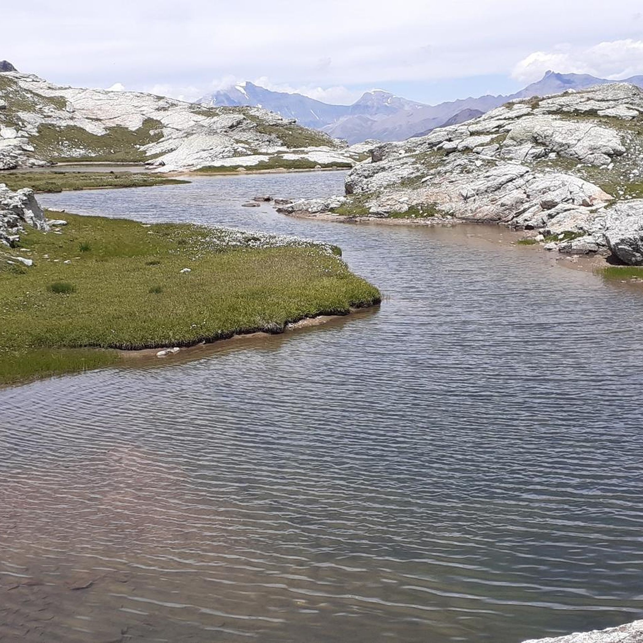
MTB Trails around Bramans
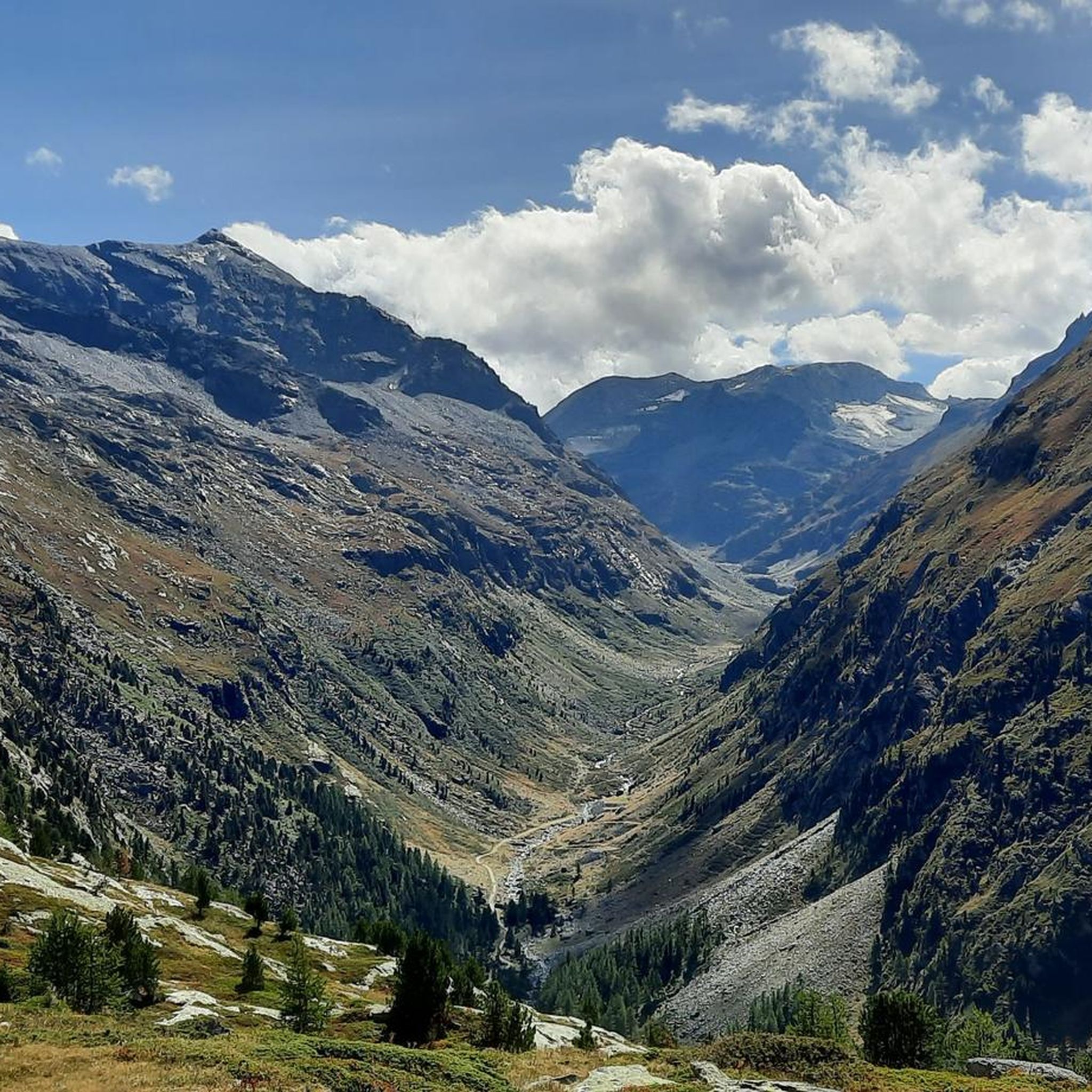
Running Trails around Bramans
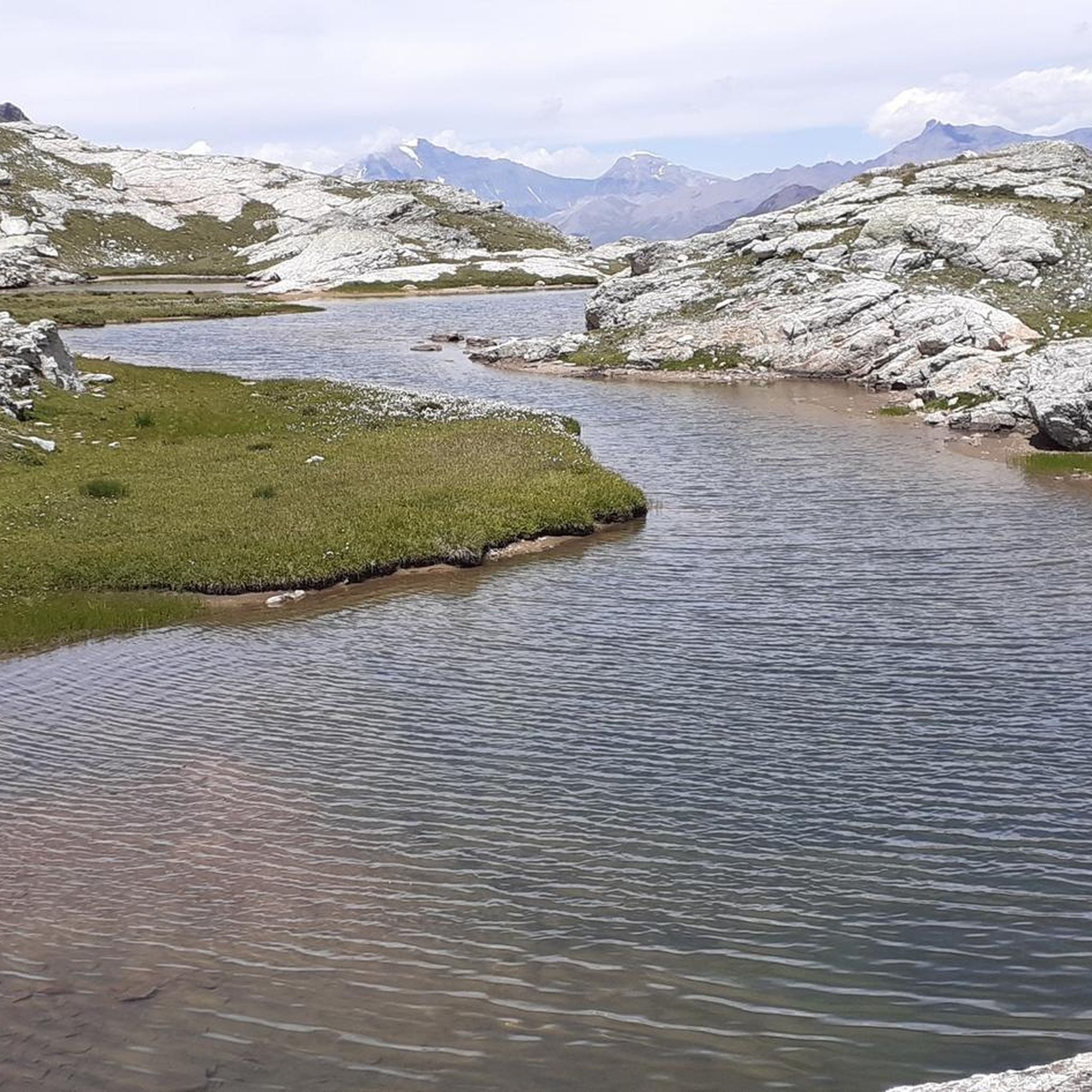
Cycling around Bramans

Mountain Hikes around Bramans
Other adventures around Bramans


Tips from the Community

Very scenic aerial route rich in historical identities. Route with ground not always well-trodden, also due to disconnections caused by motorcycles and cars.
0
0

The Forte del Gran Serin or Batteria del Gran Serin is a fortification built towards the end of the 19th century to defend the northwestern borders, located along the Assietta road near the Colle dell'Assietta. The battery develops in length straddling over 2,600 meters in altitude, offering artillery positions, barracks including stables for a total that could reach 850 soldiers and a powder magazine, all protected by a long wall. The position covered with its fire from the top of the Assietta to the Gran Costa mountain, covering the Galambra valley, the Niblè, the Quattro Denti peak and the lower Val Cenischia. To date, the structure is in ruins and part of the wall is missing.
0
0
Uphill on single track substantially unrideable: Km and Km pushing the bike up a very tough climb. After the pass, the descent is beautiful.
0
0

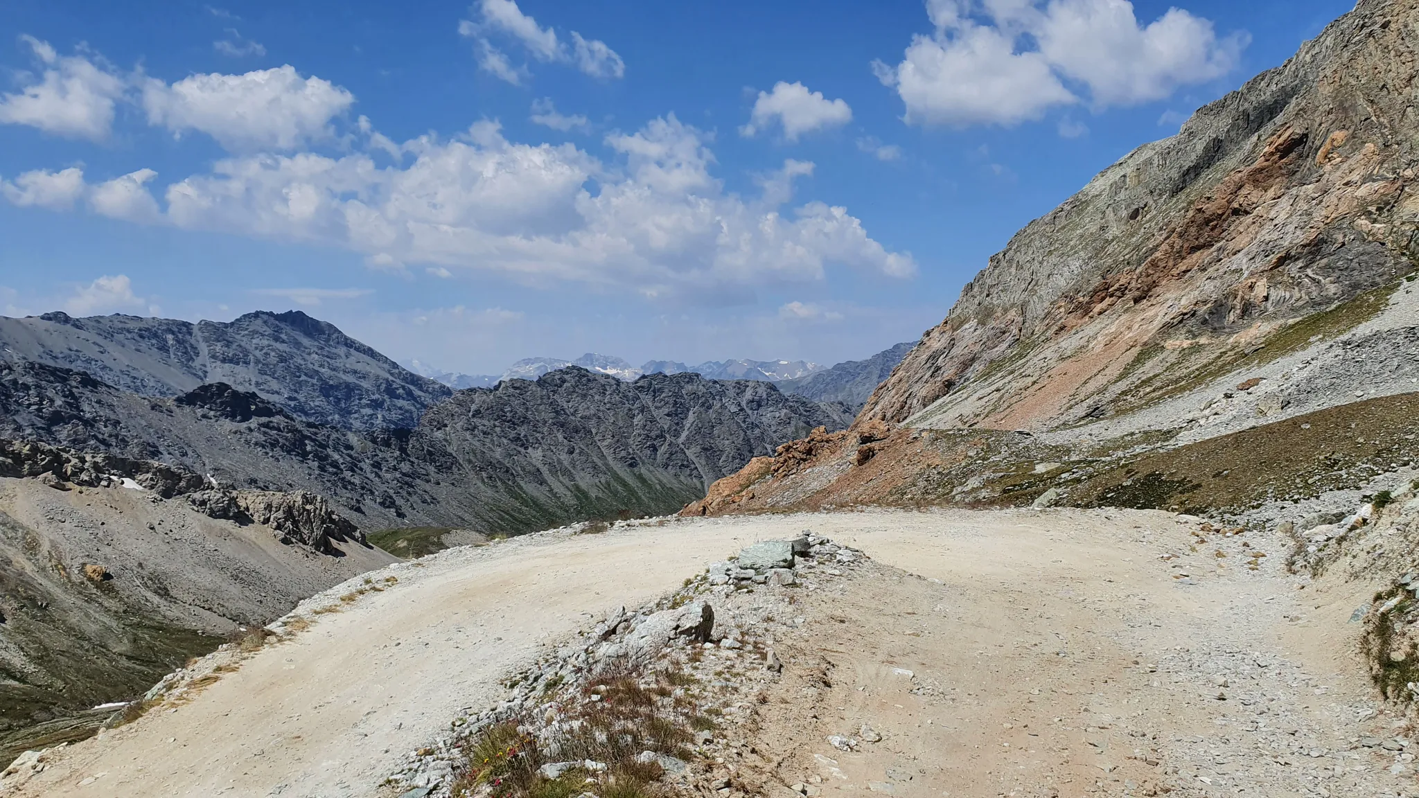
Beautiful military road kept very well. Once you reach the top, you turn at an average altitude of about 2300 m
0
0


This hill is best appreciated when climbing from Monfol because it offers an excellent panoramic viewpoint over the Chisone valley. You arrive at the end of a long traverse, very restful especially if cycled due to the moderate gradients. The downside is the significant traffic of off-road vehicles, almost all foreign, that use the beautiful high-altitude road known as the Strada dell'Assietta. Make sure to refuel along the way BEFORE the pass, taking advantage of the many streams, because from the pass onwards, whether heading towards Sestriere or towards the Assietta, you'll find almost no water... and there's a lot of dust! Another recommendation: avoid this route if a thunderstorm threatens, as there are no shelters and you risk serious lightning strikes!
1
0

Gravel path with a view.
2
0
Frequently Asked Questions
What is the general difficulty level of gravel biking routes around Bramans?
Gravel biking around Bramans is characterized by high alpine terrain, meaning most routes are challenging. The majority of the available routes are rated as difficult, featuring significant elevations and mountain passes. There are also a couple of moderate options for those looking for a slightly less strenuous ride.
Are there any long-distance gravel rides available near Bramans?
Yes, Bramans offers several longer gravel biking routes. For instance, the Col de la Madeleine – Bonneval-sur-Arc loop from Avrieux is a substantial 78.4 km (48.7 miles) ride. Another excellent option is the Colle dell'Assietta – Blegier Pass loop from Chiomonte, which covers 60.0 km (37.3 miles) and navigates high mountain passes.
What kind of views can I expect on gravel bike trails in Bramans?
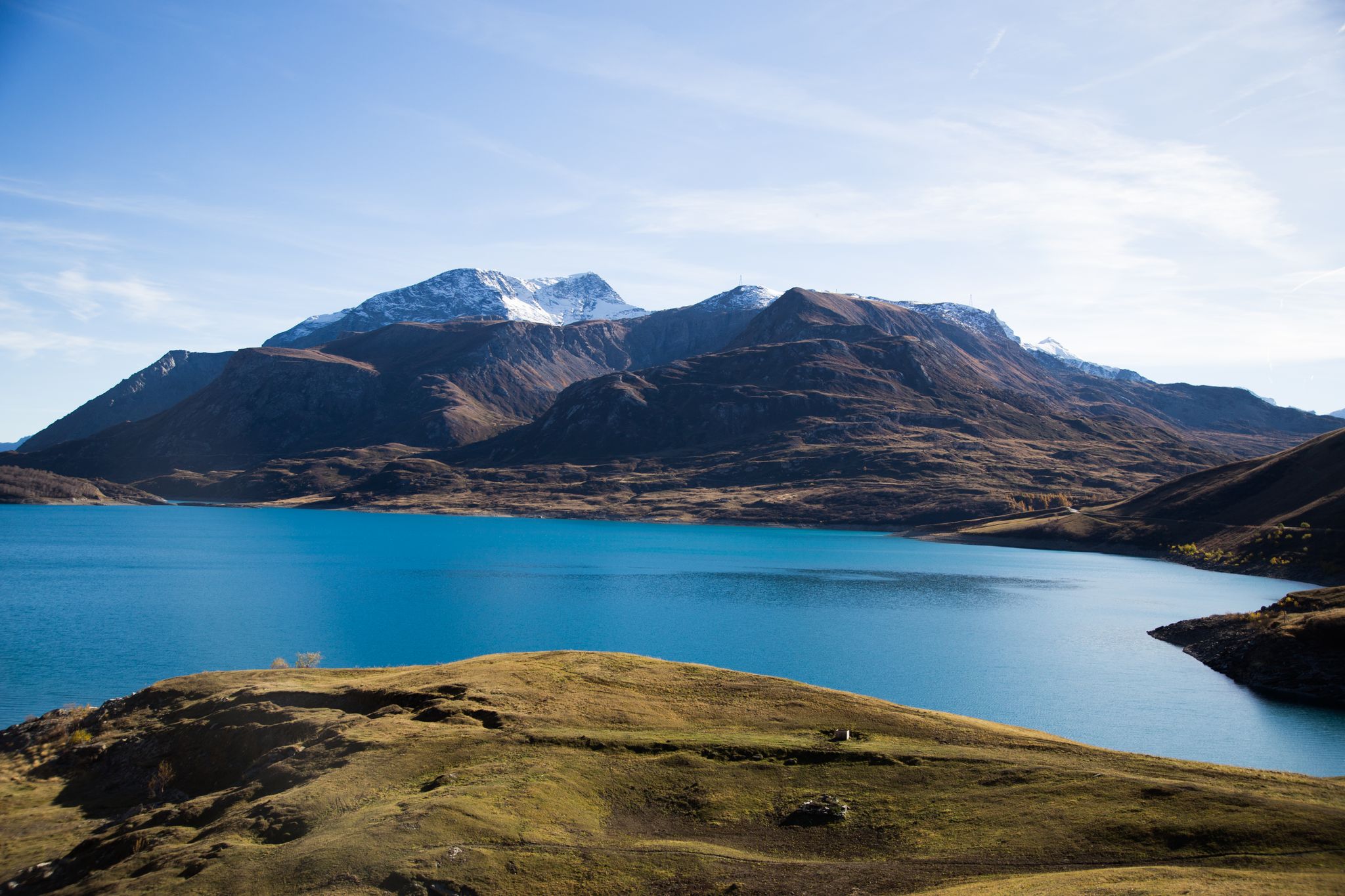
The routes around Bramans offer breathtaking high alpine scenery. You can expect panoramic views of glacial lakes, such as those found on the View of Lake Mont Cenis – Col de Sollières loop from Tagliata de la Cassa. Many trails also traverse dense forests and provide extensive vistas of the surrounding peaks and valleys.
Are there any circular gravel bike routes around Bramans?
Yes, many of the gravel bike routes in the Bramans area are designed as loops, allowing you to start and finish in the same location. Examples include the popular View of Lake Mont Cenis – Col de Sollières loop from Tagliata de la Cassa and the Ghiacciaia Lake – Rifugio Daniele Arlaud loop from Salbertrand.
What are some notable natural attractions or landmarks along the gravel routes?
The region around Bramans is rich in natural beauty and historical sites. Along your rides, you might encounter stunning glacial lakes like Rochemolles Lake and Dam or Lago Grande. Historical sites such as Fort Jafferau and Abbey of Novalaise are also within reach, offering interesting stops.
What do other gravel bikers say about the trails in Bramans?
The gravel biking routes in Bramans are highly regarded by the komoot community, holding an average rating of 4.1 stars from over 20 reviews. Riders frequently praise the challenging nature of the trails, the stunning alpine scenery, and the sense of remoteness found in many sections.
Are there any beginner-friendly gravel bike trails in Bramans?
While most routes around Bramans are rated as difficult due to the high alpine terrain and significant elevation gains, there are a couple of moderate options available. These might be more suitable for beginners or those looking for a less intense experience, though they still involve mountain biking conditions.
What is the best time of year for gravel biking in Bramans?
Given the high alpine environment, the best time for gravel biking in Bramans is typically during the warmer months, from late spring to early autumn. This period offers more favorable weather conditions and ensures that higher mountain passes are clear of snow, providing access to the full network of trails.
Can I find routes that pass by mountain huts or refugios?
Yes, some routes in the region pass by mountain huts. For example, the Ghiacciaia Lake – Rifugio Daniele Arlaud loop from Salbertrand leads past Rifugio Daniele Arlaud. These huts can offer opportunities for rest, refreshments, or even overnight stays, depending on their services and opening times.
How many gravel bike routes are available in the Bramans area?
There are approximately 9 gravel bike routes documented around Bramans on komoot. These routes cater primarily to experienced riders, with 7 classified as difficult and 2 as moderate, offering a range of challenging alpine adventures.
Are there any routes that offer views of specific peaks?
Yes, many routes provide extensive views of the surrounding peaks. While specific peak names might not be in every route description, the general landscape is dominated by impressive summits. You can explore highlights like Four Teeth Peak or Melmise Peak, which are prominent features in the area.
Most popular routes around Bramans
Most popular attractions around Bramans

Get inspired with the komoot mobile app


Explore more
Browse the best Gravel rides in other regions.
