The best gravel rides around Saint-Projet
24
riders
5
rides
Gravel biking around Saint-Projet offers routes through the varied landscapes of the Lot department. The region features rolling hills, rural paths, and sections of forest, providing a mix of terrain suitable for gravel bikes. Riders can expect unpaved tracks and quiet country roads that connect small villages and natural features. The elevation gains on many routes indicate a landscape with gentle climbs and descents.
Best gravel bike trails around Saint-Projet
- The most popular gravel bike trail is Lavoir de Limogne…
Last updated: November 2, 2026
6
riders
21.7km
01:40
220m
220m
Moderate gravel ride. Good fitness required. Mostly paved surfaces.
4
riders
19.2km
01:19
170m
170m
Moderate gravel ride. Good fitness required. Mostly paved surfaces.

3
riders
30.9km
02:26
400m
400m
Moderate gravel ride. Good fitness required. Mostly paved surfaces.
2
riders
54.2km
03:55
880m
880m
Hard gravel ride. Very good fitness required. Mostly paved surfaces.
3
riders
55.9km
03:49
670m
670m
Hard gravel ride. Very good fitness required. Mostly paved surfaces.
Our route recommendations are based on thousands of hikes, rides, and runs completed by other people on komoot.
Start today with a free account
Your next adventure awaits.

Tips from the Community

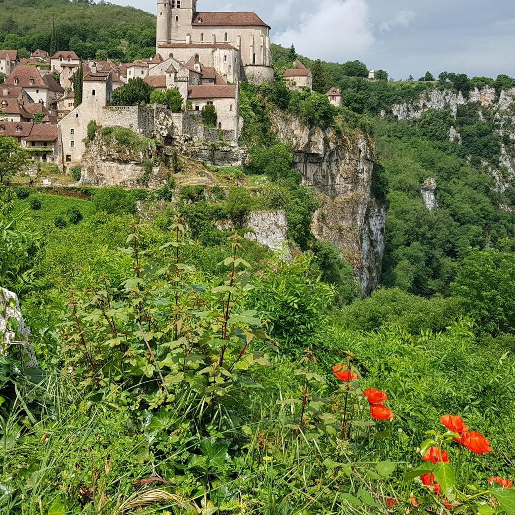
The spectacular silhouette of the Château de Larroque-Toirac is the soul of the village. A bastion of the Hundred Years' War: Built between the 12th and 15th centuries, this listed historic monument has retained its entire original defensive system despite repeated assaults by the English. A living residence: Unlike many medieval ruins, the castle has the distinction of having always been inhabited. Its guided tour allows you to discover an intact period kitchen, magnificent 15th-century fireplaces, and superb 16th-century polychrome frescoes. Prehistoric origins: Just behind the building, the cliff houses troglodytic caves that already served as shelter for humans from the Neolithic period.
0
0
The spectacular silhouette of the Château de Larroque-Toirac is the soul of the village. A bastion of the Hundred Years' War: Built between the 12th and 15th centuries, this listed historic monument has retained its entire original defensive system despite repeated assaults by the English. A living dwelling: Unlike many medieval ruins, the castle has the distinction of always having been inhabited. Its guided tour allows you to discover an intact period kitchen, magnificent 15th-century fireplaces, and superb 16th-century polychrome frescoes. Prehistoric origins: Just behind the building, the cliff face houses troglodytic caves that already served as shelters for humans from the Neolithic period.
0
0
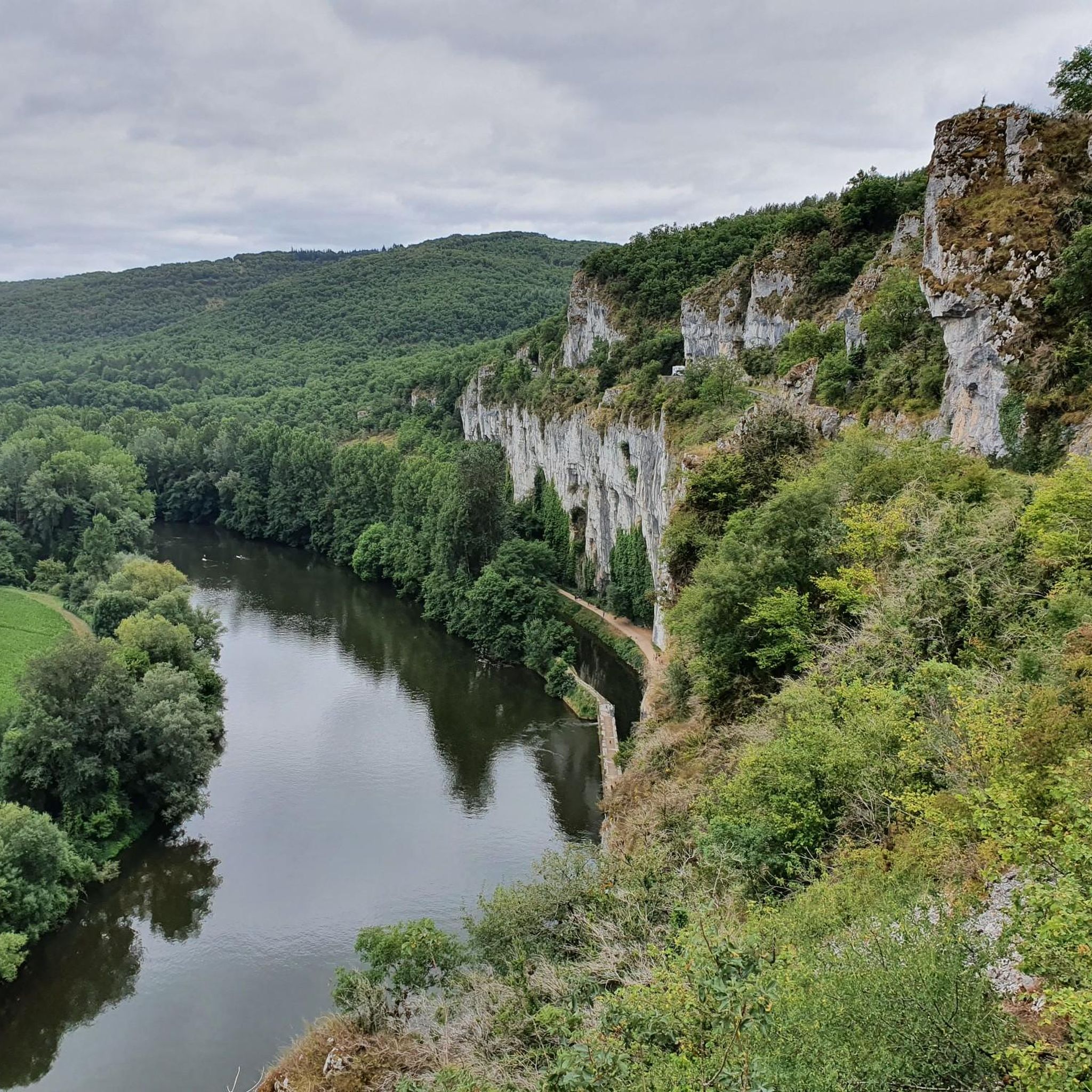
The old Montbrun railway tunnel, officially called "sourd de Montbrun", is a remarkable work of art. Built between 1881 and 1883 for the Cahors–Capdenac line of the Compagnie du Paris-Orléans, it measures 534 meters in length. This curved tunnel was designed in a basket-handle shape in the limestone rock in order to cut an important loop of the Lot (the cingle de Caillac) and to directly reach the village of Montbrun.
0
0
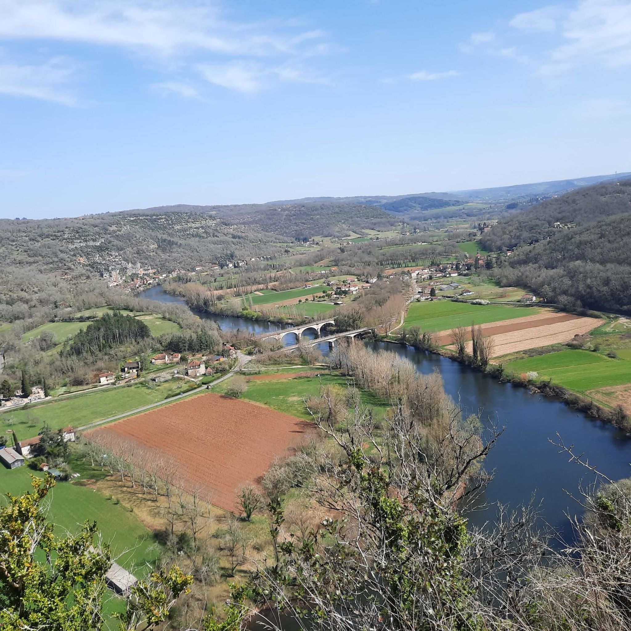
Medieval village perched on a rocky outcrop overlooking the Lot valley, facing the cliffs of Saut de la Mounine, known for the ruins of its 13th-century castle.
0
0
Medieval village perched on a rocky outcrop overlooking the Lot valley, facing the cliffs of Saut de la Mounine, known for the ruins of its 13th-century castle.
0
0


Nice little place with lots of places to stop for a break.
0
0
Frequently Asked Questions
How many gravel bike trails are available around Saint-Projet?
There are 7 gravel bike trails available around Saint-Projet, offering a range of experiences through the region's varied landscapes.
Are there any easy gravel bike trails suitable for beginners in Saint-Projet?
While most routes are classified as moderate, beginners can find enjoyable rides. For instance, the Concots loop from Escamps is a moderate 13.5-mile (21.7 km) trail that takes about 1 hour 40 minutes, offering a good introduction to the local terrain.
What are some challenging gravel bike routes for experienced riders?
For a more challenging ride, consider routes with significant elevation gain. The Summit cross – Summit cross loop from Caylus is a moderate 19.2-mile (30.9 km) path with over 400 meters of ascent, leading through varied terrain to a summit cross.
Can I find circular gravel bike routes in the Saint-Projet area?
Yes, many of the gravel bike routes around Saint-Projet are circular, allowing you to start and finish at the same point. Examples include the Tempories Phosphate Deposit loop from Escamps and the Tempories Phosphate Deposit loop from Bach, both offering scenic loops through the countryside.
What kind of terrain can I expect on gravel bike trails around Saint-Projet?
The terrain around Saint-Projet is characterized by rolling hills, rural paths, and sections of forest. Riders can expect a mix of unpaved tracks and quiet country roads, connecting small villages and natural features. Elevation gains are generally moderate, indicating a landscape with gentle climbs and descents.
Are there any notable attractions or landmarks along the gravel bike routes?
Yes, the region offers several interesting points. You might encounter historical sites like Château Saint-Projet, or natural features such as Lake Labarthe and the ancient Dolmen du lac d'Aurié. These attractions provide opportunities to pause and explore during your ride.
Where can I find parking when gravel biking in Saint-Projet?
Many routes start from villages or hamlets where public parking is typically available. For example, routes like the Lavoir de Limogne en Quercy – Limogne-en-Quercy loop from Mas de Gascou often have starting points near accessible parking areas in or around the mentioned locations.
What is the best time of year for gravel biking in Saint-Projet?
The spring and autumn months generally offer the most pleasant conditions for gravel biking in Saint-Projet, with milder temperatures and beautiful scenery. Summer can be warm, so early morning or late afternoon rides are recommended, while winter can be damp but still offers opportunities for hardy riders.
Are there any cafes or places to stop for refreshments near the trails?
The routes often pass through or near small villages like Escamps, Caylus, or Limogne-en-Quercy, where you can typically find local cafes, bakeries, or small shops to refuel and refresh. It's always a good idea to check opening hours, especially in smaller communities.
What do other gravel bikers say about the trails in Saint-Projet?
The gravel biking routes in Saint-Projet are highly rated by the komoot community, with an average score of 5.0 stars. Reviewers often praise the quiet country roads, the varied terrain, and the opportunity to explore the authentic rural landscapes of the Lot department.
What are the typical distances and elevation gains for gravel routes here?
Gravel routes around Saint-Projet vary in length, generally ranging from approximately 12 to 24 miles (19 to 38 km). Elevation gains are typically between 170 and 400 meters, offering a good balance of effort and scenic reward without overly strenuous climbs.
Are there any routes that offer good viewpoints?
Yes, routes that include significant elevation gain often lead to rewarding viewpoints. The Summit cross – Summit cross loop from Caylus, for example, is specifically designed to reach a summit cross, implying panoramic views of the surrounding landscape.
Most popular routes around Saint-Projet
Most popular attractions around Saint-Projet

Get inspired with the komoot mobile app


Explore more
Browse the best Gravel rides in other regions.
