The best walks and hikes in the Kaibab Plateau
4.7
(2552)
29,257
hikers
84
hikes
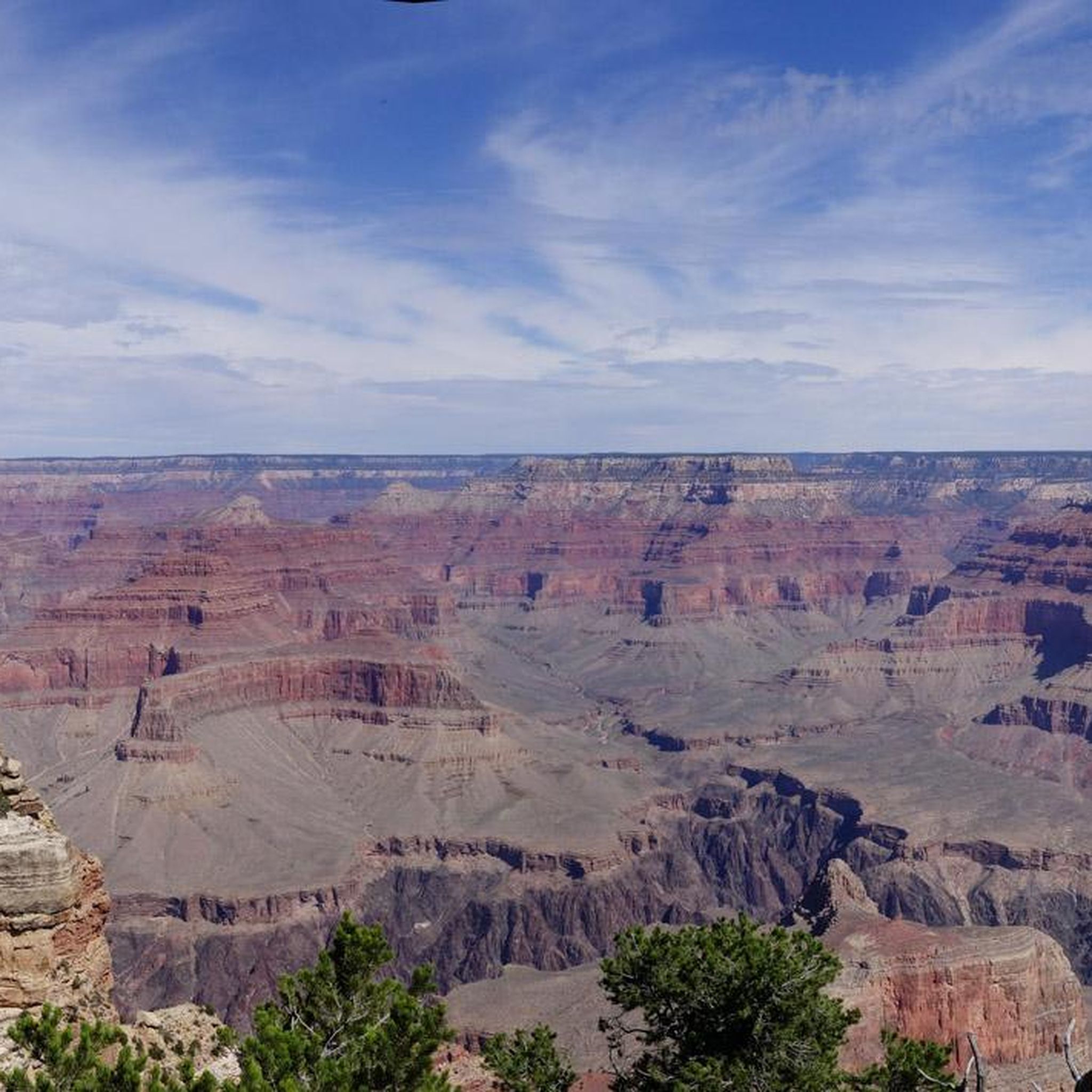
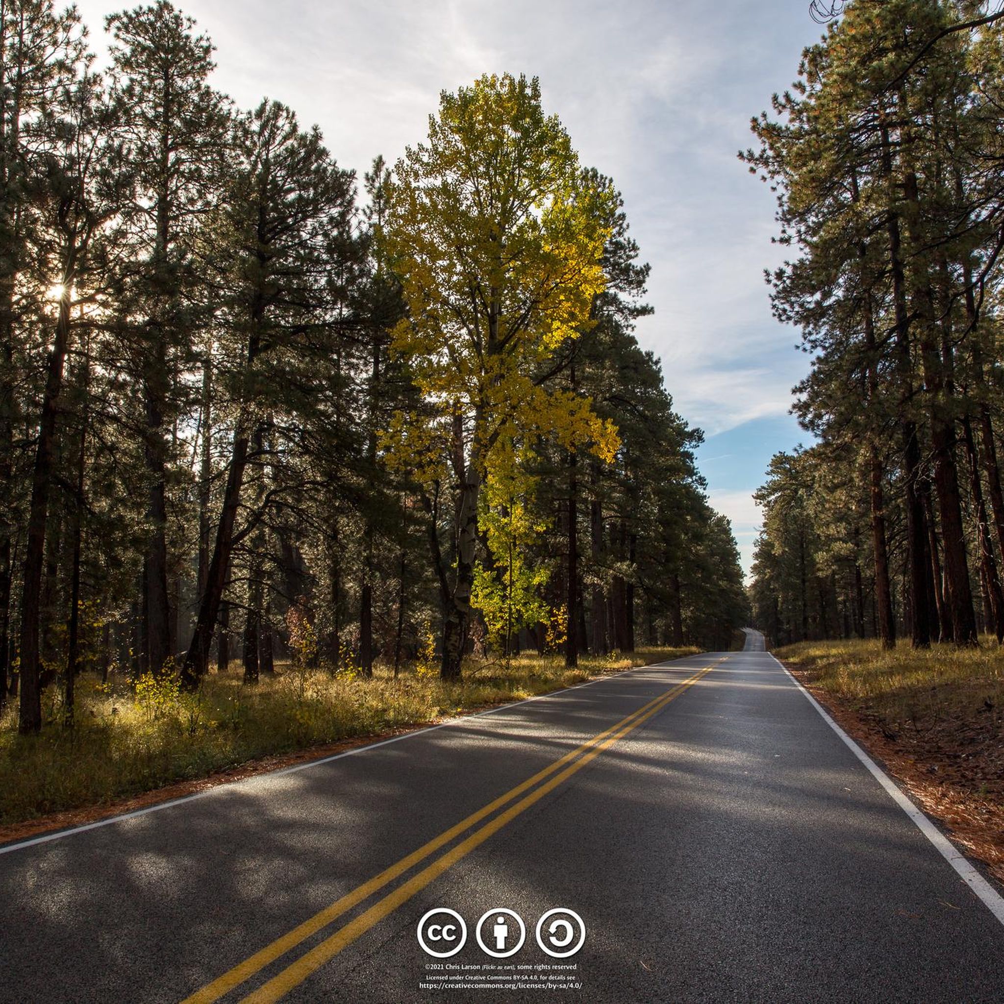
Hikes in the Kaibab Plateau explore a large forested area in northern Arizona, largely within the Kaibab National Forest. The region is characterized by high-elevation forests of ponderosa pine, fir, and aspen, interspersed with open meadows. Its southern boundary forms the North Rim of the Grand Canyon, providing access to trails along the canyon's edge.
Best hiking trails in the Kaibab Plateau
- The most popular hiking route is Widforss Trail — Grand Canyon National Park, a 9.3 mile (15.0…
Last updated: July 7, 2026
2.0
(2)
54
hikers
16.3km
07:54
1,420m
300m
Hard hike. Very good fitness required. Sure-footedness, sturdy shoes and alpine experience required.
5.0
(3)
21
hikers
24.9km
06:53
430m
420m
Hard hike. Very good fitness required. Mostly accessible paths. Sure-footedness required.

Sign up for free
6
hikers
3.51km
01:00
110m
20m
Easy hike. Great for any fitness level. Easily-accessible paths. Suitable for all skill levels.
4
hikers
12.3km
03:58
140m
1,120m
Moderate hike. Good fitness required. Easily-accessible paths. Suitable for all skill levels.
1
hikers
4.18km
01:27
40m
530m
Easy hike. Great for any fitness level. Easily-accessible paths. Suitable for all skill levels.
28.8km
09:58
1,210m
1,830m
Hard hike. Very good fitness required. Easily-accessible paths. Suitable for all skill levels.
4.94km
01:21
80m
60m
Easy hike. Great for any fitness level. Easily-accessible paths. Suitable for all skill levels.
25.2km
06:45
260m
340m
Hard hike. Very good fitness required. Easily-accessible paths. Suitable for all skill levels.
1.04km
00:16
0m
0m
Easy hike. Great for any fitness level. Easily-accessible paths. Suitable for all skill levels.
4.8
(11)
114
hikers
6.57km
01:52
140m
140m
Easy hike. Great for any fitness level. Easily-accessible paths. Suitable for all skill levels.
Get access to more routes and recommendations from other explorers.
Sign up for free
Already have an account?
Our route recommendations are based on thousands of hikes, rides, and runs completed by other people on komoot.
Start today with a free account
Your next adventure awaits.
Login or Signup
Popular around Kaibab Plateau

The Arizona Trail — From Mexico to Utah in 43 days
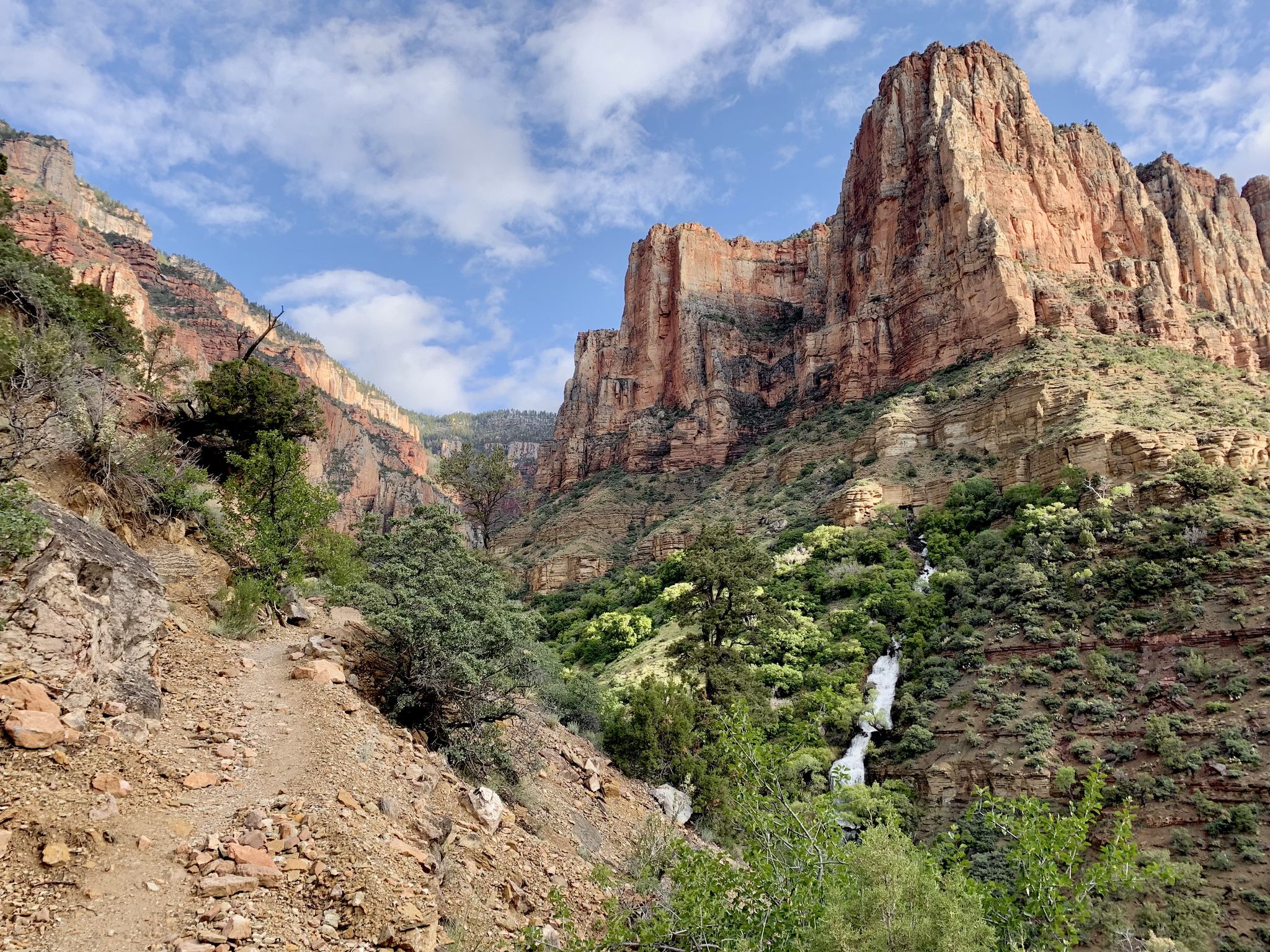
Rim-to-Rim-to-Rim – top to bottom through the Grand Canyon
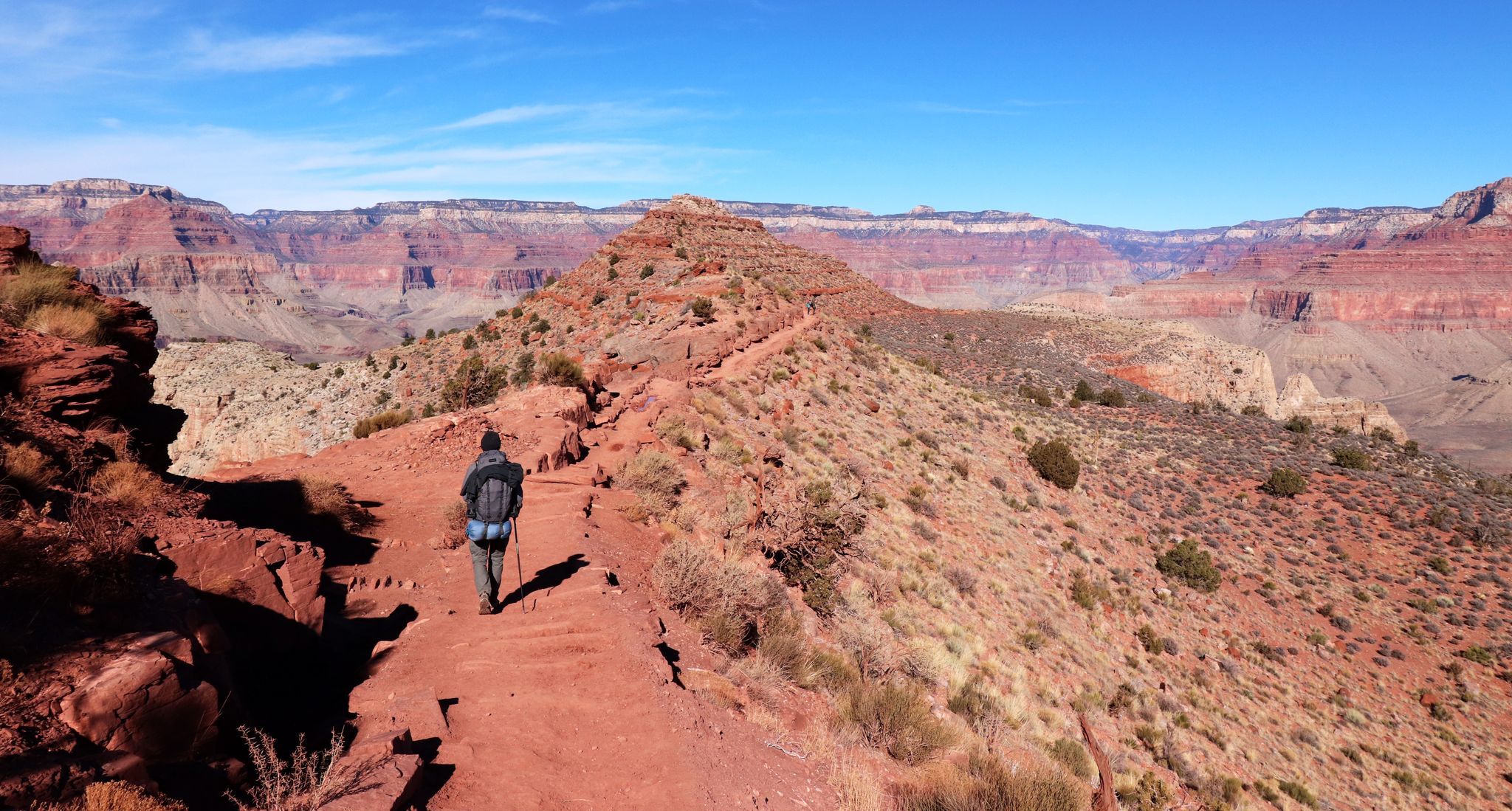
An unforgettable winter hike through the Grand Canyon

Arizona Trail — A beautiful 800-mile struggle
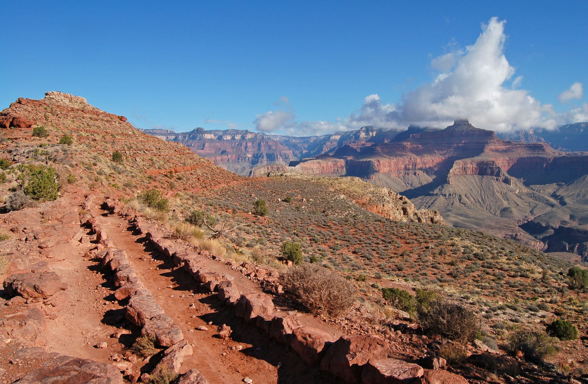
Rim-to-Rim-to-Rim — Fastpacking into the Grand Canyon’s heart
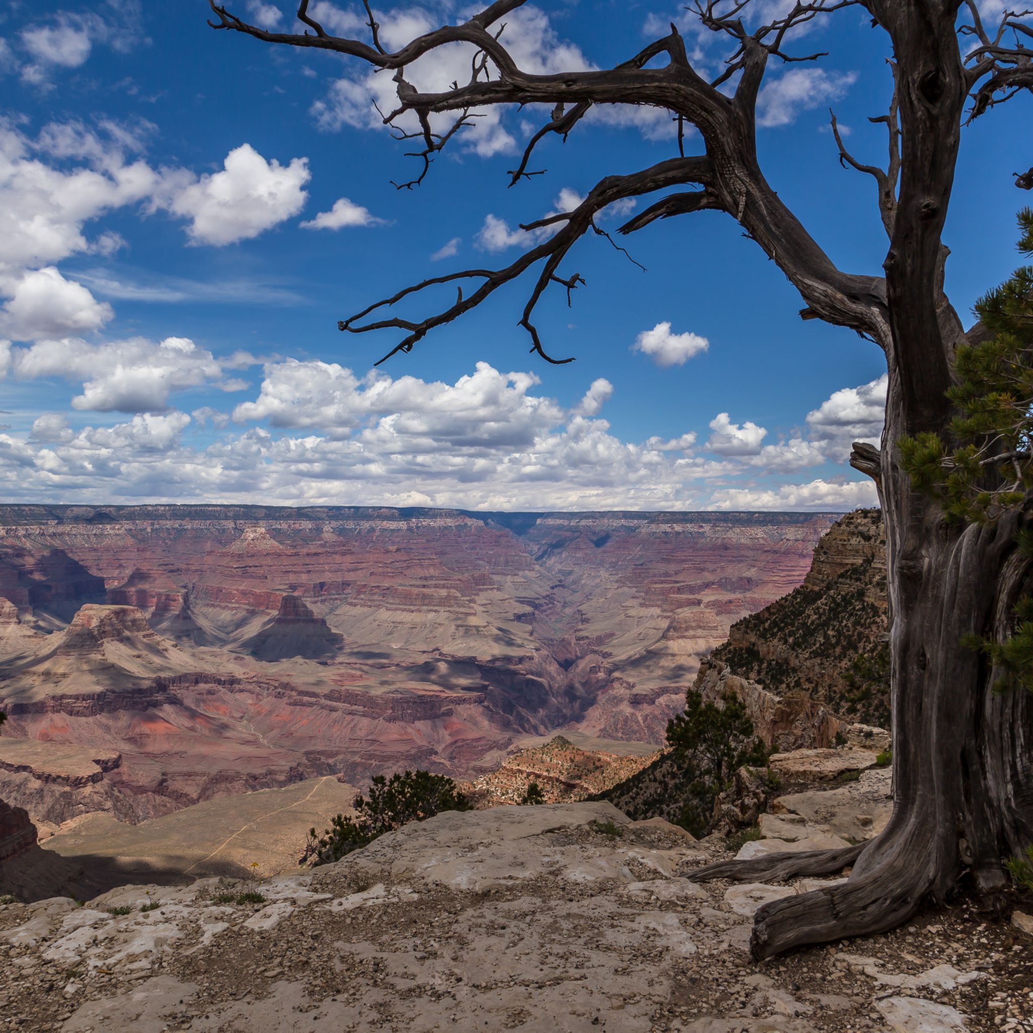
MTB Trails in the Kaibab Plateau
Cycling in the Kaibab Plateau
Road Cycling Routes in the Kaibab Plateau
Running Trails in the Kaibab Plateau
Other adventures in the Kaibab Plateau


Tips from the Community

It's best to start at Powell Point. That would be the best section.
0
0

Fires closed many of the trails and two days later the area was completely closed for the remainder of the season due to the fires.
0
0


This trailhead is a little more off the beaten path but leads to some amazing up close views of stunning rock formations without the crowds. The road leading to the trailhead is very rugged so make sure you do your research on road conditions and have a 4x4 vehicle with enough clearance to get here as it is far from the main road and somewhat isolated. There is a short path leading up the "trail" from here but it quickly blends into the surrounding rocks and leads to a freeform exploration of some very cool formations.
0
0

Approachable from Forest Service Road 271, Timp Point could function as a start and end point for a loop ride, and it provides the southern-most viewpoint along Rainbow Rim. The Grand Canyon at this point presents a more vegetated landscape than many may be familiar with in other more well-known locations.
0
0
North Timp Point features a direct view of Steamboat Mountain and into the Grand Canyon looking west. You might choose this point for a snack and a quick rest depending on your itinerary. One of the best viewpoints on Rainbow Rim.
0
0

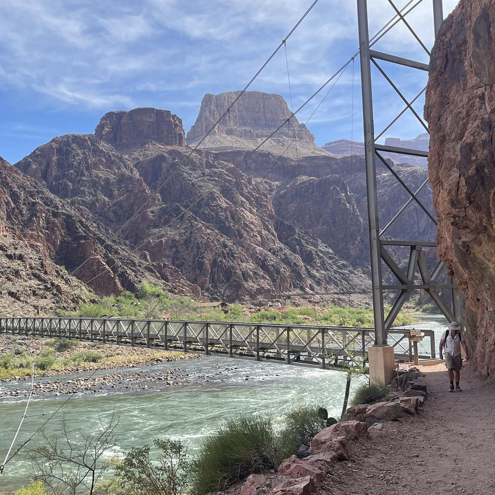
As the finish point of the Hermit Trail, it is epic to finally stand at the flowing, rushing water after descending through the dry, inhospitable altitude.
0
0
Frequently Asked Questions
When is the best time to hike in the Kaibab Plateau?
The prime hiking season is from late spring to early fall, typically May through October. During these months, the weather is pleasant and the trails are generally free of snow. Summer afternoons can bring thunderstorms, so it's wise to start hikes early. The North Rim facilities, which provide access to many trails, are usually closed from mid-October to mid-May due to heavy snowfall.
Are there any easy hikes suitable for beginners or families?
Yes, the plateau offers several accessible trails. A great option is the Cape Royal Trail, a paved and relatively flat path of about one mile that leads to stunning canyon views. It's perfect for a short, rewarding walk with minimal effort.
What are some challenging day hikes in the Kaibab Plateau?
For experienced hikers seeking a strenuous challenge, the Deer Spring via Bill Hall Trail is a demanding option. This long-distance trek involves significant elevation change as it descends into the canyon, requiring excellent fitness and preparation.
Are dogs allowed on the hiking trails?
Dogs are generally permitted on trails within the Kaibab National Forest, but they must be on a leash. However, pets are not allowed on trails below the rim within Grand Canyon National Park. Always check the specific regulations for the trail you plan to hike, as rules can vary between the National Forest and the National Park sections of the plateau.
What kind of wildlife might I see while hiking?
The Kaibab Plateau is rich in wildlife. Keep an eye out for mule deer, various bird species, and the unique Kaibab squirrel, which is found only in this area and is recognizable by its white tail and tufted ears. Remember to observe all wildlife from a safe and respectful distance.
How many hiking trails are there in the Kaibab Plateau?
There are over 75 designated hiking routes across the Kaibab Plateau. These range from short, easy walks along the canyon rim to challenging, multi-day backpacking trips through dense forests and into the canyon, offering options for every skill level.
What do other hikers say about the trails in the Kaibab Plateau?
The trails in this region are highly regarded by the komoot community. Hikers frequently praise the stunning canyon vistas, the peaceful ponderosa pine forests, and the well-maintained paths. The solitude and immersive nature experience are often highlighted as major attractions.
Are there any good loop hikes available?
Yes, the Transcept Trail loop is a great choice. This easy trail offers a pleasant walk of about 4 miles (6.6 km) through the forest and along the canyon rim, providing beautiful views without requiring an out-and-back journey.
What should I pack for a day hike in this area?
Even for a short hike, it's essential to be prepared. Key items include plenty of water (at least 1 gallon/4 liters per person), salty snacks, sun protection (hat, sunscreen), a map, and layered clothing. The weather can change quickly at high elevations, and there are very few water sources on the trails.
Where can I find information on trail conditions and closures?
For the most current information on trail status, especially regarding weather-related closures or maintenance, it's best to check with the local ranger district. You can find contact details and alerts on the official Kaibab National Forest page.
What are some popular viewpoints and trailheads for hiking?
Many hikes start from well-known points that are attractions in themselves. The South Kaibab Trailhead is a very popular starting point for hikes descending into the canyon.
Along this route, you'll find Ooh Aah Point, a highly-rated viewpoint known for its incredible sunrise vistas, located just under a mile from the rim. Further down, Cedar Ridge offers a wider resting area with panoramic views, making it a common turnaround spot for day hikers.
What is the terrain like on the Kaibab Plateau trails?
The terrain varies significantly. You'll find relatively flat, forested paths through ponderosa pine and aspen groves, like the Point Imperial Trail. Other routes involve rocky, steep descents into the canyon. Most rim trails are at a high elevation, typically above 8,000 feet (2,400 meters).
Most popular routes in the Kaibab Plateau
Most popular attractions in the Kaibab Plateau

Get inspired with the komoot mobile app


Explore more
Browse the best Hikes in other regions.
