The best MTB trails around Kaifenheim
4.6
(2452)
6,811
riders
476
rides
Mountain biking around Kaifenheim offers access to diverse landscapes within the Vordereifel region, bordering the Hunsrück Mountains. The area is characterized by low mountain ranges, river valleys, and volcanic features, providing varied terrain for mountain bike trails. Riders can explore forests, meadows, and streams, with the Elzbach Valley and the broader Volcanic Eifel region shaping many routes. This geographical setting provides a range of natural trails suitable for different skill levels.
Best mountain bike trails around Kaifenheim
- The most popular…
Last updated: October 3, 2026
4.2
(18)
23
riders
32.7km
02:43
560m
560m
Moderate mountain bike ride. Good fitness required. Suitable for all skill levels.
4.6
(5)
19
riders
61.8km
04:42
770m
770m
Hard mountain bike ride. Good fitness required. Advanced riding skills necessary. Some portions of the route may require you to push your bike.

3.0
(1)
7
riders
19.4km
01:46
350m
350m
Moderate mountain bike ride. Good fitness required. Advanced riding skills necessary.
5.0
(3)
11
riders
23.9km
01:49
300m
300m
Moderate mountain bike ride. Good fitness required. Suitable for all skill levels.
5.0
(1)
13
riders
36.1km
02:59
580m
580m
Hard mountain bike ride. Good fitness required. Advanced riding skills necessary. Some portions of the route may require you to push your bike.
Get access to more routes and recommendations from other explorers.
Already have an account?
Our route recommendations are based on thousands of hikes, rides, and runs completed by other people on komoot.
Start today with a free account
Your next adventure awaits.
Tips from the Community

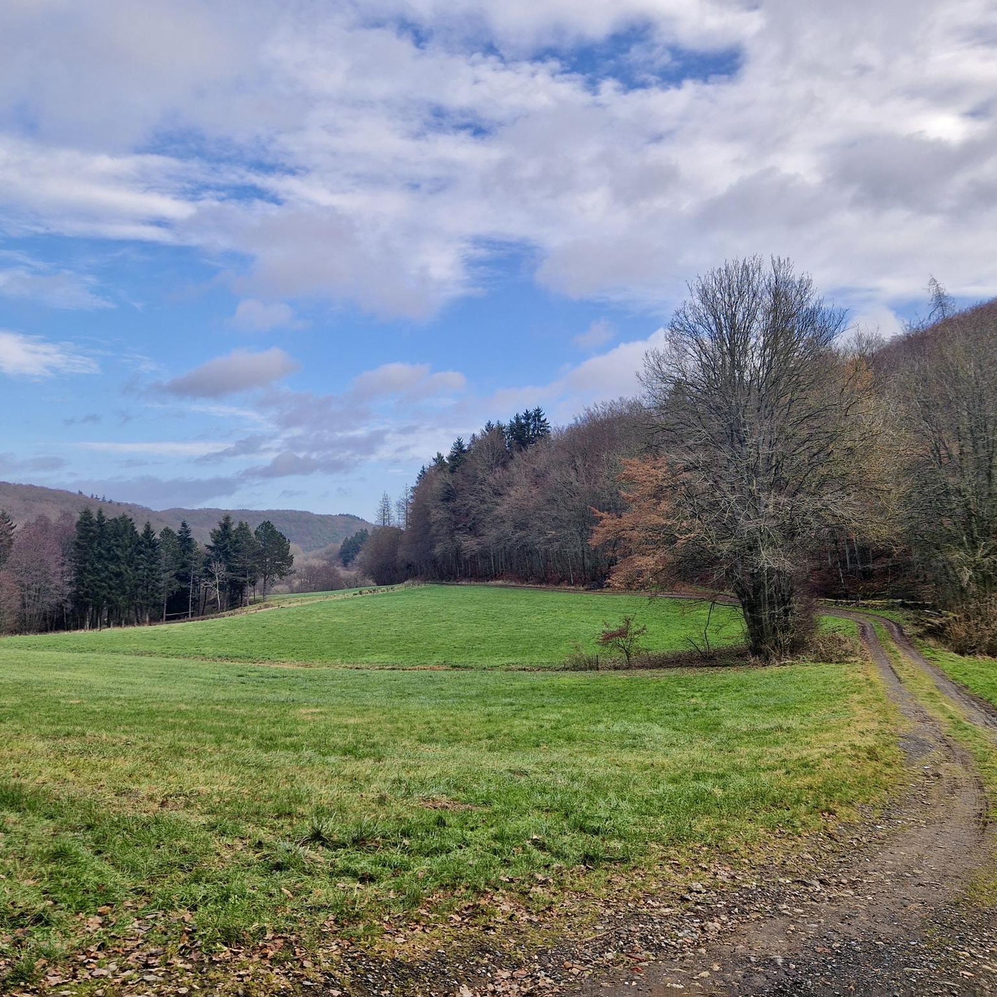
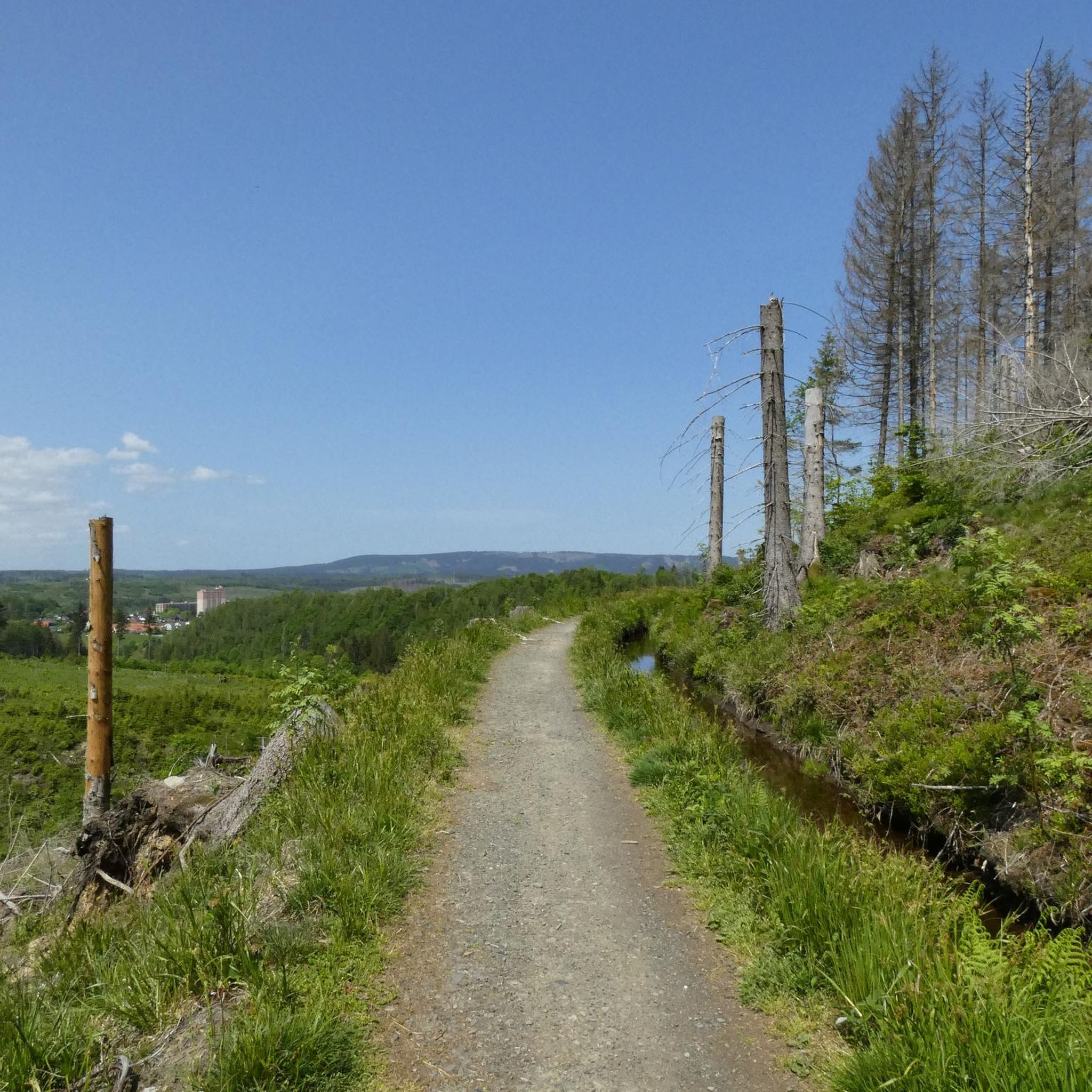
„Forests protect landscapes and secure natural resources,“ states the background paper for the 'German Forest Days'. What we hikers, besides the subjective feeling of well-being, have always appreciated about the forest as a natural space, the report further explains: „Forests stabilize the water balance, climate, and soils. Precisely these regulatory services have an impact not only on the surrounding landscapes but also economically. Agriculture, drinking water supply, infrastructure, tourism, and regional development – they all benefit from these services. Sustainable forestry ensures that they are permanently preserved.“
0
0

Has been closed for years, but a very nice spot for a short break
3
0

I like to take a path that runs along a stream. At the beginning of the section, there was hardly any water to be seen. Further down towards the valley, the ditch carried a good amount of water (April)
0
0

The Löwenburg castle above the half-timbered village of Monreal is a so-called spur castle and was first mentioned in a document in 1229. Count Hermann III of Virneburg is considered the builder of the Löwenburg. According to tradition, he is said to have built the complex on his brother Philipp's land after a partition agreement. The disputes that arose between the brothers were later settled, and Philipp ceded his rights to the region to his brother. Today, large parts of the Löwenburg are still preserved, giving a good impression of how stately the castle's former appearance must have been. Primarily, the remains of the 25-meter-high keep with its three-meter-thick walls are visible from afar. The high entrance to the imposing keep faces the valley and thus strategically advantageously, to the side facing away from the enemy. The castle tower is unfortunately currently closed and inaccessible. Source: https://www.eifel.info/pois/loewen-und-philippsburg
2
0
The Stellwerk, a wine tavern and restaurant, has been located in the old train station in Monreal since 1992. Here, hearty, freshly prepared dishes and regional as well as international wines are offered in a cozy atmosphere.
2
0
What can I say, a very beautiful bridge, especially with nice paths ☀️👍🏽
2
0

The remains of the ruins help us imagine the old walls.
0
0

A true paradise stretches out on the edge of the village of Ulmen on a plateau beneath the Steimelskopf, where a volcano once erupted with a tremendous bang, forming a deep crater with a maar lake, which now serves as a renowned bird sanctuary. The exact age of the Jungferweiher lake cannot be determined, but its morphological shape suggests it is several hundred thousand years old. In early modern times, the Lords of Ulmen used the lake as a fishpond for carp breeding, until it gradually silted up over time, and the residents of Ulmen harvested peat from the former maar for heating purposes. However, in 1942, the decision was made to flood the area again by damming the Ulmener Bach to secure the drinking water supply for the Cochem-Zell district. Today, the Jungferweiher lake, located at an altitude of 428 meters above sea level, covers an area of approximately 170,000 square meters with a depth of 0.8 meters. The pond, along with the Ulmener Maar, is protected for its rare flora and fauna. Many endangered species, such as the snipe and the meadow pipit, breed in the reed-rich banks, while ospreys have been observed hunting. Migratory birds such as cranes, teals, and great grey shrikes roost in the meadows near the Ulmener Jungferweiher every year. Therefore, a walk along the approximately 3-kilometer loop is a must, especially during the migration periods in spring and autumn. At the bird observatory on the western bank, you can observe the birds in their natural habitat. Nowadays, a wide variety of fish species thrive in the shallow waters of the Ulmener Weiher, which can be fished from a fishing pier on the southern bank. Swimming and other water sports are prohibited, however. Fishing permits are issued by the local municipal administration in Ulmen. Since 2023, the Ulmener Maar Tunnel has connected the Jungferweiher underground to the Ulmener Maar. A visit to the 126-metre-long tunnel is highly recommended!
7
0
Frequently Asked Questions
How many mountain bike trails are available around Kaifenheim?
There are over 495 mountain bike trails around Kaifenheim, offering a wide range of options for different skill levels. The komoot community has rated these routes highly, with an average score of 4.6 stars.
What is the best time of year for mountain biking in Kaifenheim?
The Eifel region, where Kaifenheim is located, is suitable for outdoor activities year-round. Spring offers blossoming fruit trees and vines, while autumn provides colorful foliage, making these seasons particularly scenic for mountain biking. The diverse landscape, including forests and river valleys, can be enjoyed in various conditions.
Are there mountain bike trails suitable for beginners or families in Kaifenheim?
Yes, Kaifenheim offers a variety of trails, including 61 routes classified as easy and 310 as moderate. While specific family-friendly routes are not highlighted, the moderate trails often provide a good balance for those looking for less technical rides. The region's diverse terrain ensures options for various ability levels.
Where can I find challenging mountain bike trails in the Kaifenheim area?
For experienced riders seeking a challenge, Kaifenheim and the wider Eifel region offer numerous difficult trails. There are 124 difficult routes directly around Kaifenheim. The Pyrmonter Mill – Bridge over the Elzbach loop from Kaifenheim is a difficult 38.1 km trail with over 500 meters of elevation gain, featuring challenging terrain through the Elzbach Valley. The broader Vulkaneifel Trail Park also offers over 750 kilometers of technically demanding trails with significant altitude changes.
What kind of landscapes will I encounter on mountain bike trails near Kaifenheim?
Mountain biking around Kaifenheim takes you through diverse landscapes characteristic of the Vordereifel region and the edge of the Hunsrück Mountains. You'll ride through low mountain ranges, picturesque river valleys like the Elzbach Valley, and areas shaped by ancient volcanic activity, including forests, meadows, streams, and unique volcanic formations like maars in the broader Volcanic Eifel.
Are there any notable landmarks or attractions along the mountain bike routes?
Yes, several routes pass by significant landmarks. For instance, the Schwanenkirche – Eltz Castle loop from Kaifenheim leads past the impressive Elzbach Waterfall at the Pyrmonter Mill and the historic Eltz Castle. The region also features other castles like Bürresheim Castle and the Maria Martental Monastery, which are often accessible from nearby trails.
Can I find mountain bike trails that include waterfalls near Kaifenheim?
Yes, the area around Kaifenheim features beautiful waterfalls. The Elzbach Waterfall at the Pyrmonter Mill is a notable highlight that can be incorporated into your rides. You can explore more waterfalls in the region by checking out the Waterfalls around Kaifenheim guide.
Are there any circular mountain bike routes in Kaifenheim?
Many of the mountain bike trails around Kaifenheim are designed as loops. Examples include the popular Schilzergraben – Pommernmühle loop from Brachtendorf, a moderate 32.3 km route, and the Mädburg Ruins – Elzbachtal Singletrail loop from Kaifenheim, a moderate 19.3 km trail.
What do other mountain bikers enjoy most about the trails in Kaifenheim?
The mountain bike trails in Kaifenheim are highly rated by the komoot community, with an average score of 4.6 stars from over 2000 reviews. Riders often praise the diverse terrain, which includes challenging climbs and scenic descents through river valleys and volcanic landscapes. The variety of routes, from moderate paths to difficult climbs, is also frequently highlighted.
Are there dedicated bike parks or specialized mountain biking areas near Kaifenheim?
Yes, the wider Eifel region offers several dedicated mountain biking areas. The Vulkaneifel Trail Park provides over 750 kilometers of signposted trails. For those seeking more specialized experiences, the KoulShore within the Vulkaneifel Trail Park is a 13-hectare bike park with challenging single trails and Northshore elements. You can find more information in the Bike Parks around Kaifenheim guide.
Are there options for food and accommodation near the mountain bike trails?
Kaifenheim and the surrounding towns in the Eifel region offer various amenities. You'll find cafes and pubs in local villages, and accommodation options ranging from guesthouses to hotels. The nearby town of Cochem, for example, provides a wider range of services and attractions.
What is the typical elevation gain on mountain bike trails in Kaifenheim?
The elevation gain varies significantly depending on the trail's difficulty and length. For instance, a difficult route like the Schwanenkirche – Eltz Castle loop from Kaifenheim involves over 730 meters of ascent. Moderate trails, such as the Giant Bench near Möntenich – Schwanenkirche loop from Gamlen, typically feature around 300 meters of elevation gain.
Most popular routes around Kaifenheim
Most popular attractions around Kaifenheim

Get inspired with the komoot mobile app


Explore more
Browse the best MTB trails in other regions.
