The best gravel rides around Arsure-Arsurette
4.7
(16)
59
riders
29
rides
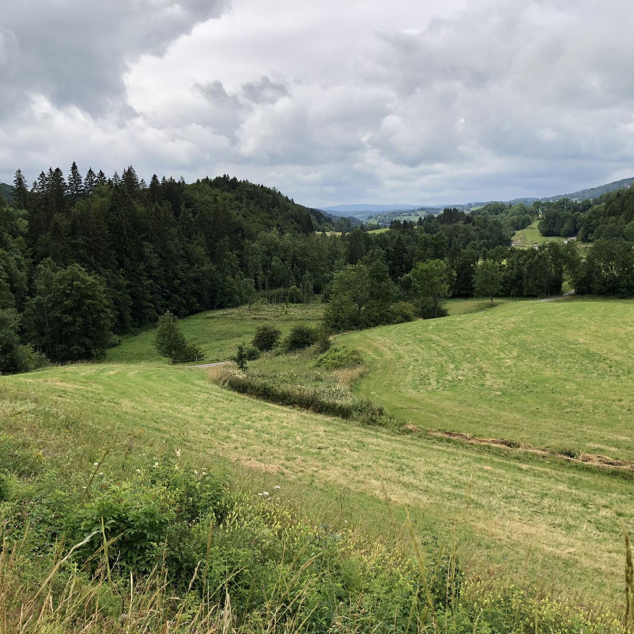
Gravel biking around Arsure-Arsurette offers diverse landscapes within the Jura Mountains, characterized by a mix of forests, valleys, and water features. The terrain includes varied elevation, with some routes featuring significant ascents, and a network of paths suitable for off-road cycling. Riders can expect to traverse stony trails, farm tracks, greenways, and forest trails. The region's natural setting provides opportunities to explore areas near lakes and rivers, including the Doubs.
Best gravel bike trails around Arsure-Arsurette
- The most popular gravel…
Last updated: October 6, 2026
4.8
(6)
14
riders
50.3km
03:29
870m
870m
Hard gravel ride. Very good fitness required. Mostly paved surfaces. Suitable for all skill levels.
5.0
(1)
8
riders
19.6km
01:31
270m
270m
Moderate gravel ride. Good fitness required. Mostly paved surfaces. Suitable for all skill levels.

6
riders
27.0km
02:05
400m
400m
Moderate gravel ride. Good fitness required. Mostly paved surfaces. Suitable for all skill levels.
3.7
(3)
8
riders
36.2km
02:25
520m
520m
Hard gravel ride. Very good fitness required. Mostly paved surfaces. Suitable for all skill levels.
5.0
(1)
7
riders
43.5km
03:02
910m
910m
Hard gravel ride. Very good fitness required. Mostly paved surfaces. Suitable for all skill levels.
Get access to more routes and recommendations from other explorers.
Already have an account?
Our route recommendations are based on thousands of hikes, rides, and runs completed by other people on komoot.
Start today with a free account
Your next adventure awaits.
Tips from the Community


Very nice outing early in the morning
0
0

Cool passage, definitely take a lamp.
0
0

/!\ Crossing prohibited /!\
0
0

Viewpoint above the Doubs source with beautiful views through a forest clearing to Mouthe and the Doubs river.
6
0
The source of the Doubs River is a powerful karst spring in a heavily karstified area of the Jura Mountains. It lies at an altitude of 937 meters at the foot of the forested, up to 1,419-meter-high Mont Risoux mountain range, which straddles the border between France and Switzerland. The Doubs River rises from a small, approximately five-meter-deep spring basin in a cave in the rock.
6
0
The Bief de la Ruine waterfall is located in the spectacular Malvaux Gorge. One of the most astonishing features of this waterfall is the fact that it only comes alive after heavy rainfall or during snowmelt. When it dries, it gives way to the spectacle of the carved stone, revealing the "Creux des Joyaux," a natural cave where the water swirls with varying degrees of vigor, polishing a multitude of limestone pebbles thanks to the force of its current.
7
0

waterfalls don't always flow
1
0
Frequently Asked Questions
Are there gravel bike trails suitable for beginners or those looking for an easier ride in Arsure-Arsurette?
Yes, while many routes in the region are challenging, there are options for less experienced riders. For example, the Chapelle-des-Bois – Chapelle-des-Bois loop from Foncine-le-Haut is a moderate 19.8 km (12.3 mi) trail, offering a less strenuous experience compared to the more difficult routes.
What is the typical length and duration of gravel bike trails in the Arsure-Arsurette region?
Gravel bike trails around Arsure-Arsurette vary in length and duration. You'll find routes ranging from about 19 km (12 mi) to over 43 km (27 mi). Depending on the distance and elevation, these can take anywhere from 2 to 4 hours to complete.
Where can I find parking for gravel biking routes in Arsure-Arsurette?
Specific parking information is usually available on individual route pages. Many routes start from villages like Mouthe or Chapelle-des-Bois, where public parking is often accessible. It's recommended to check the starting point of your chosen route on komoot for detailed parking suggestions.
Are there challenging gravel bike routes for experienced riders in Arsure-Arsurette?
Absolutely. The Arsure-Arsurette region is known for its challenging terrain, with many routes featuring significant elevation changes. For instance, the Mouthe – Col de Landoz-Neuve loop from Mouthe is a difficult 43.3 km (26.9 mi) path with over 900 meters of ascent, perfect for experienced gravel bikers seeking a demanding ride.
What is the best season for gravel biking in Arsure-Arsurette?
The best seasons for gravel biking in Arsure-Arsurette are typically spring, summer, and autumn. During these months, the weather is generally more favorable, and trails are less likely to be affected by snow or ice, providing optimal riding conditions. Always check local weather forecasts before heading out.
What are the winter conditions like for gravel biking in Arsure-Arsurette?
Winter in Arsure-Arsurette can bring snow and ice, especially given the region's elevation. Many gravel trails may become impassable or require specialized equipment like fat bikes. It's advisable to check local conditions and trail reports before planning a winter ride, as some routes might be closed or too hazardous.
Are there gravel bike trails in Arsure-Arsurette with scenic views?
Yes, the region offers numerous scenic routes. Many trails traverse through varied landscapes, including dense forests and open areas, providing expansive views of the Jura mountains and valleys. The The source of the Doubs – Tourbières de Moutat loop from Mouthe, for example, offers beautiful natural vistas.
What natural attractions can I see along the gravel bike trails in Arsure-Arsurette?
The Arsure-Arsurette area is rich in natural beauty. You can explore stunning waterfalls and gorges. Notable attractions include the Langouette Gorges, the Bief de la Ruine Waterfalls, and the source of the Doubs. These can often be found near or along various routes.
What do other gravel bikers enjoy most about gravel biking in Arsure-Arsurette?
The area is highly rated by the komoot community, with an average score of 4.4 stars from over 7 reviews. Reviewers often praise the diverse terrain, from challenging climbs to varied surfaces, and the natural setting that includes forest paths and open landscapes. The sense of adventure and exploration on routes like the Chapelle-des-Bois – Chapelle-des-Bois loop from Petite-Chaux is frequently highlighted.
Are there any good gravel bike loops in the Arsure-Arsurette region?
Yes, many of the popular gravel bike routes in Arsure-Arsurette are loops, offering a convenient way to explore the region without retracing your steps. Examples include the Chapelle-des-Bois – Chapelle-des-Bois loop from Foncine-le-Haut and the The source of the Doubs – Tourbières de Moutat loop from Mouthe.
How many gravel bike trails are available in the Arsure-Arsurette area?
There are nearly 20 gravel bike routes available around Arsure-Arsurette, offering a wide range of options for different skill levels and preferences. This includes a mix of easy, moderate, and difficult trails to explore.
Most popular routes around Arsure-Arsurette
Most popular attractions around Arsure-Arsurette

Get inspired with the komoot mobile app


Explore more
Browse the best Gravel rides in other regions.
