The best gravel rides around Charantonnay
3.8
(11)
74
riders
5
rides
Gravel biking around Charantonnay offers diverse terrain within the Isère department. The area features a mix of countryside, valleys, and woodlands, providing varied surfaces for gravel cyclists. Routes often incorporate paths with minimal tarmac, winding through natural landscapes. Elevations can range significantly, with some trails featuring ascents over 690 meters.
Best gravel bike trails around Charantonnay
- The most popular gravel bike trail is Col du Croupion – Bourbre Greenway loop from L'Isle-d'Abeau, a 31.3 miles (50.5 km) trail that…
Last updated: November 3, 2026
36
riders
Hard gravel ride. Very good fitness required. Mostly paved surfaces.
3.5
(4)
9
riders
50.2km
03:20
630m
630m
Hard gravel ride. Very good fitness required. Mostly paved surfaces.

4
riders
50.4km
03:18
500m
500m
Hard gravel ride. Very good fitness required. You may need to push your bike for some segments of this route.
3.8
(6)
10
riders
34.9km
02:38
530m
530m
Hard gravel ride. Very good fitness required. Mostly paved surfaces.
4.0
(1)
5
riders
33.9km
02:06
320m
320m
Moderate gravel ride. Good fitness required. Mostly paved surfaces.
Our route recommendations are based on thousands of hikes, rides, and runs completed by other people on komoot.
Start today with a free account
Your next adventure awaits.
Tips from the Community

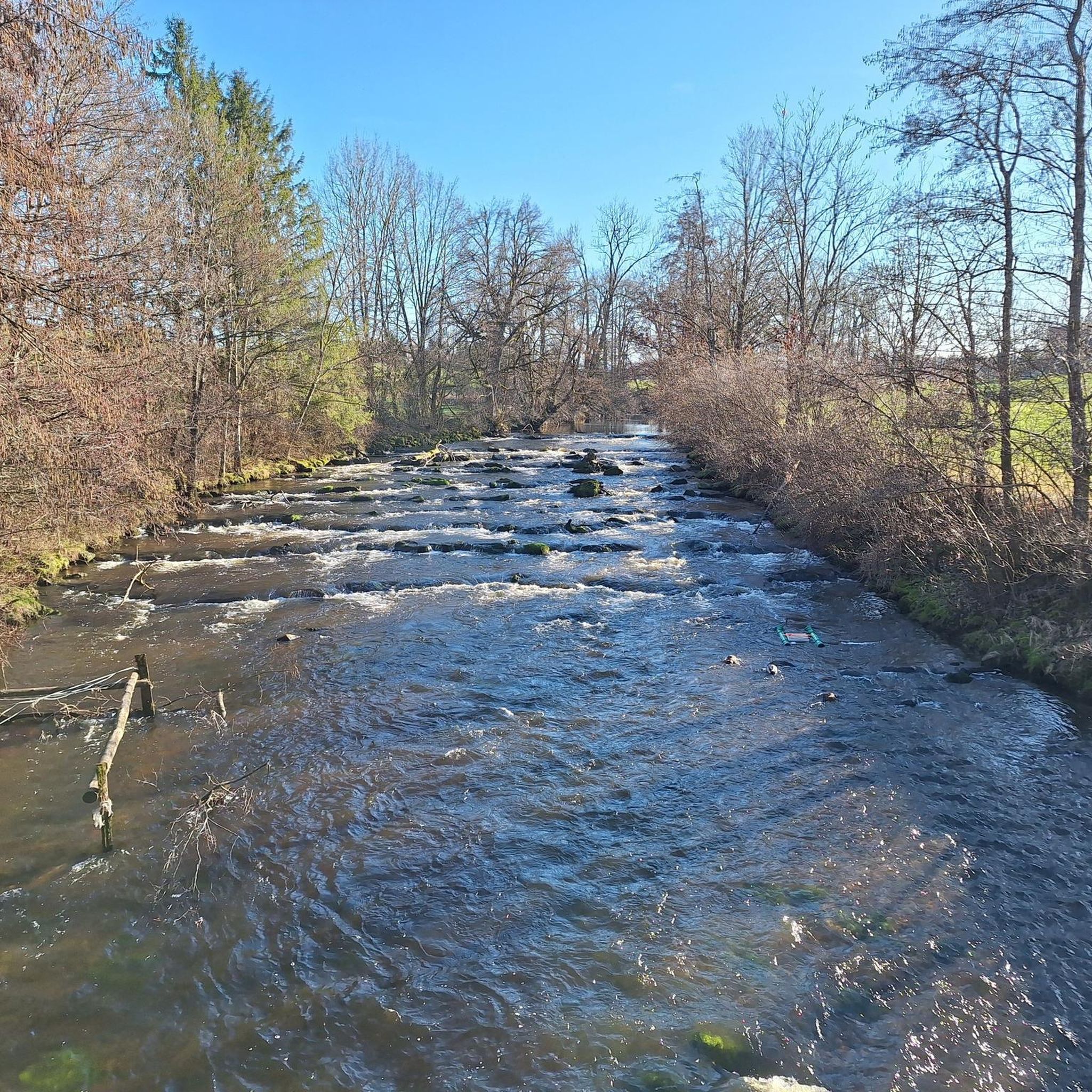
The "Trois Eaux" designation traditionally refers to the three distinct sources or supply networks (coming from wetlands, runoff from surrounding hills, and local springs) that join to form and maintain the level of this pond.
0
0
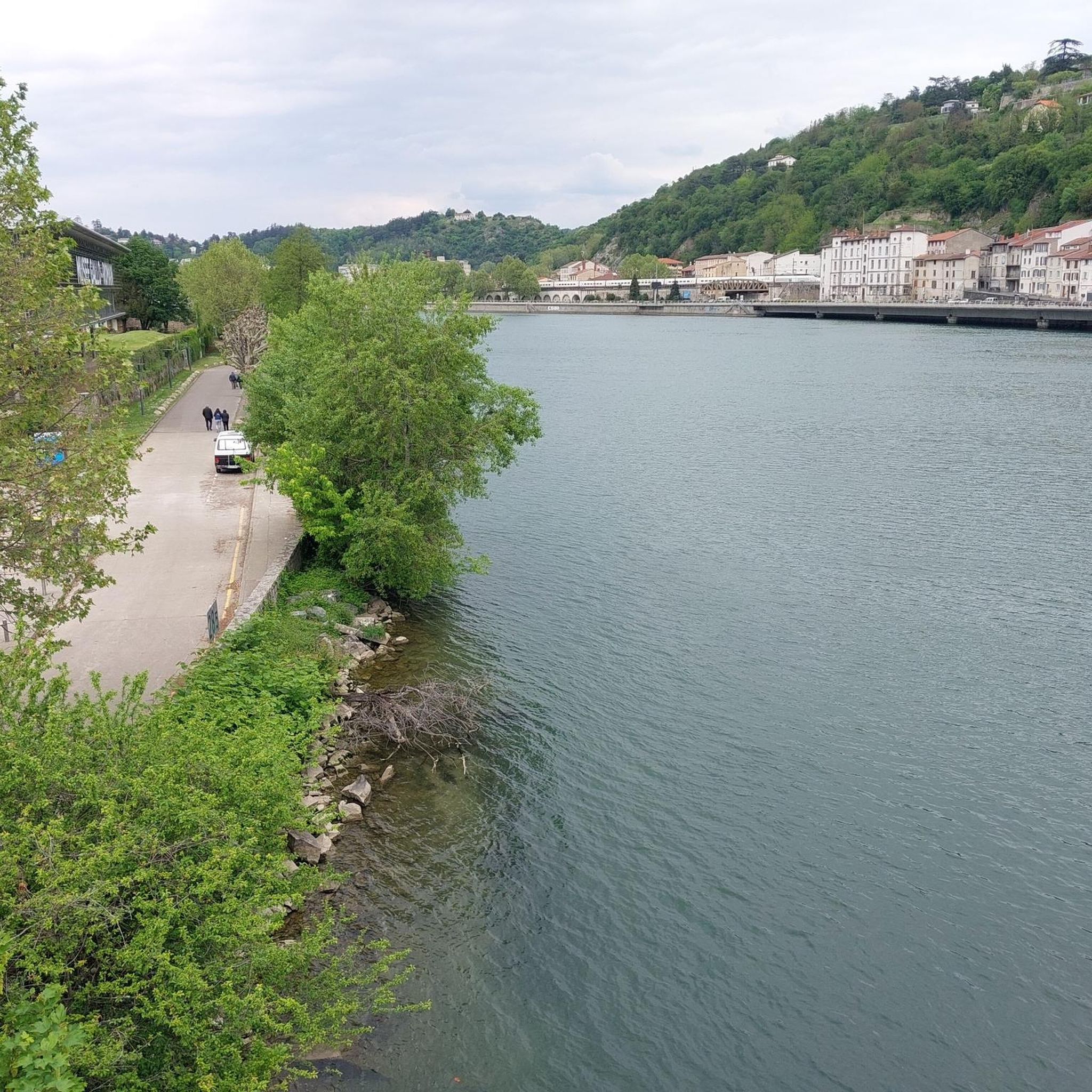
The Voie verte des Balcons du Dauphiné is a 18-kilometer-long secure cycle and pedestrian path, built on the route of the former Est Lyonnais railway line. It connects the medieval town of Crémieu to the municipality of Arandon-Passins, where it connects directly to the ViaRhôna.
0
0
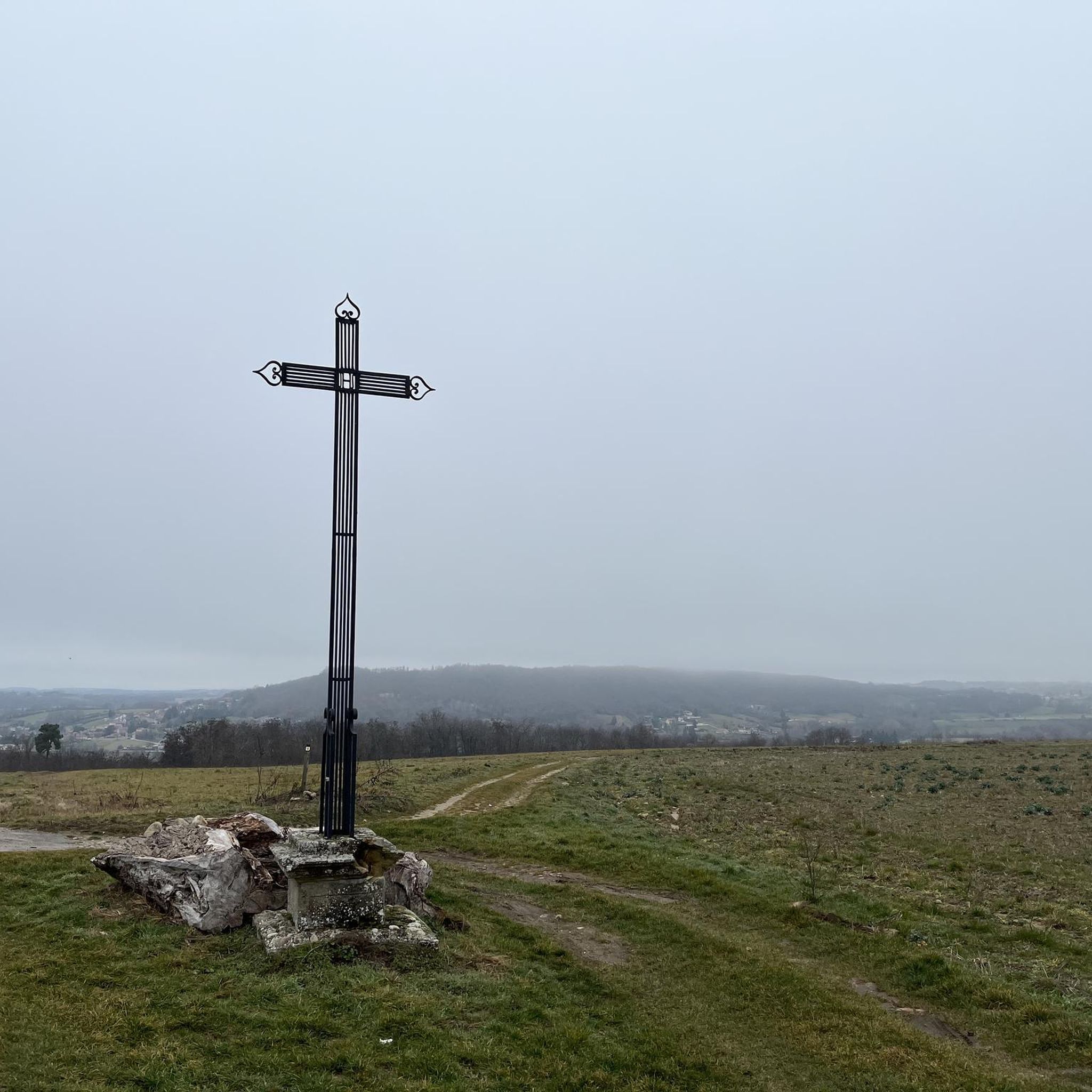
The commune of Vertrieu, located in the department of Isère within the Balcons du Dauphiné, has the unique particularity of housing two major historical buildings: the Château Vieux (or Maison-Forte) and the Château Neuf (or Château Moderne).
0
0
This rural village, bordered by the Rhône and the spectacular cliffs of Isle Crémieu, has just over 1,200 inhabitants (the Hiérois) and is part of the Balcons du Dauphiné community of municipalities.
0
0
It formerly depended on the domain of the Montbaly (or Monbaly) castle. Its primary function, however, remains uncertain and fuels several hypotheses: A pleasure pavilion (or "garden folly") for the castle owners. A hunting rendezvous point.A sounding box used to relay horn calls. An old postal relay station or a place of contemplation.
0
0
The Voie Verte de la Bourbre is a secure development of about 8.5 kilometers reserved for non-motorized travel (bicycles, pedestrians, strollers, rollerblades). Managed by the CAPI (Communauté d'Agglomération de la Porte de l'Isère), it pleasantly follows the Bourbre river and today connects the towns of Bourgoin-Jallieu, L'Isle-d'Abeau and Vaulx-Milieu.
0
0
Small isolated building in the place called Villieu (former islet in the heart of the Bourgoin marshes), consisting of a small nave lit by a bay on each side and extended by an apse with a lower height than the nave. The facade is pierced by an entrance door surmounted by a basket-handle lintel bearing the inscription 1893 / NOTRE DAME DE VILLEU. https://recensement.patrimoine-religieux.fr/eglises_edifices/38-Isere/38415-Saint-Marcel-Bel-Accueil/150630-ChapelledeVillieu
0
0

Very beautiful village with character, entirely made of stone; from the village, you can see the Madonna of the Larina Archaeological site.
0
0
Frequently Asked Questions
How many gravel bike trails are available around Charantonnay?
There are 5 gravel bike trails documented around Charantonnay, offering a range of experiences from moderate to difficult. These routes traverse diverse terrain, including woodlands, valleys, and countryside roads with minimal tarmac.
What kind of terrain can I expect on gravel bike routes in Charantonnay?
Gravel biking in Charantonnay features a mix of countryside, valleys, and woodlands. You'll find paths with little tarmac, winding through natural landscapes. The terrain includes rolling hills and can present significant elevation changes, with some routes featuring ascents over 370m and even up to 790m.
Are there any family-friendly gravel routes in the Charantonnay area?
Yes, for a more accessible option, the Bourbre Greenway – Étang de la Rosière loop from L'Isle-d'Abeau is rated as moderate. This route is 33.6 km long with a more manageable elevation gain of 274m, making it suitable for families or those seeking a less strenuous ride. The Bourbre Greenway itself is known for being a pleasant cycling path.
What are some notable natural features or viewpoints I might encounter on a gravel ride?
The region offers stunning natural vistas. On clear days, you might catch panoramic views of Mont Blanc and the Alps, the Massif du Pilat, the Monts du Lyonnais, and Mont Verdun. The peaceful 'étang du By' and meadows with grazing horses add to the idyllic scenery, while the 'Bois du Fromentaux' is known for its autumnal charm.
Are there any historical sites or attractions along the gravel bike trails?
Yes, you can incorporate historical and cultural points of interest into your rides. Consider visiting the medieval Château de Fallavier, which offers elevated views, or the traditional Bonnevaux Castle within the Bonnevaux Forest. The Château de Septème is another nearby castle worth exploring.
What is the longest gravel bike route available in Charantonnay?
The longest gravel bike route is The open sea – Feyssine Park loop from Saint-Quentin-Fallavier. This challenging trail spans 151.4 km and features a significant elevation gain of over 790m, typically taking around 10 hours to complete.
Are there any circular gravel routes in the area?
Yes, all the gravel routes listed for Charantonnay are designed as loops, allowing you to start and finish at the same point. Examples include the challenging View of Vertrieu castle – Ain/Rhône confluence loop from L'Isle-d'Abeau and the moderate Bourbre Greenway – Étang de la Rosière loop from L'Isle-d'Abeau.
What do other gravel bikers say about the trails in Charantonnay?
The gravel routes in Charantonnay are highly rated by the komoot community, with an average score of 3.85 stars from over 14 reviews. Many of the 90+ visitors praise the varied terrain, the quiet woodlands, and the scenic views that make for a refreshing alternative to road cycling.
Is there a route that includes a greenway section?
Yes, the Moulin de l'Étang de Marsa – Crémieu–Morestel Greenway loop from L'Isle-d'Abeau incorporates sections of the Crémieu–Morestel Greenway. This difficult 49.8 km route also includes substantial climbing, offering a mix of greenway riding and more challenging terrain.
Are there any routes that pass by lakes or water features?
Yes, the Bourbre Greenway – Étang de la Rosière loop from L'Isle-d'Abeau passes by the Étang de la Rosière. Additionally, the Lake Saint-Quentin-Fallavier is a nearby attraction that could be explored in conjunction with some routes.
What is the most challenging gravel route in Charantonnay?
Several routes offer significant challenges. The The open sea – Feyssine Park loop from Saint-Quentin-Fallavier is particularly demanding, covering 151.4 km with an elevation gain of over 790m. Another difficult option is the Three Waters Pond – Four Winds Pavilion loop from L'Isle-d'Abeau, which is shorter at 34.8 km but still features over 530m of climbing.
Most popular attractions around Charantonnay

Get inspired with the komoot mobile app


Explore more
Browse the best Gravel rides in other regions.
