The best gravel rides around Bruyères-Le-Châtel
4.4
(87)
350
riders
41
rides
Gravel biking around Bruyères-Le-Châtel offers a network of routes through varied terrain. The region is characterized by its mix of agricultural lands, woodlands, and river valleys, providing diverse surfaces for gravel cyclists. Routes often feature gentle ascents and descents, connecting small towns and natural parks. The landscape includes areas like the Carouge Basin and sections of greenways, suitable for exploring on a gravel bike.
Best gravel bike trails around Bruyères-Le-Châtel
- The most popular gravel bike trail is Carouge Basin – Perray Natural Park loop from Arpajon, a 21.8 miles (35.1 km) trail that takes 1 hour 51 minutes to complete. This route features minimal elevation gain, making it accessible for many riders.
- Another top favourite among local gravel bikers is Viaduc de la Prédécelle – Greenway of the Pays de Limours loop from Gometz-le-Châtel, a moderate 28.1 miles (45.3 km) path. This route includes more significant elevation changes and traverses parts of the Greenway of the Pays de Limours.
- Local gravel bikers also love the Greenway of the Pays de Limours – Janvry Fountain loop from Briis-sous-Forges, a 23.5 miles (37.8 km) trail leading through varied landscapes, often completed in about 2 hours 2 minutes.
- Gravel biking around Bruyères-Le-Châtel is defined by greenways, natural parks, and river basins. The network offers options for different ability levels, from easy loops to more challenging routes with greater elevation.
- The routes in Bruyères-Le-Châtel are highly rated by the komoot community with an average score of 4.4 stars from over 80 reviews. More than 300 gravel bikers have used komoot to explore Bruyères-Le-Châtel's varied terrain.
Last updated: July 16, 2026
4.7
(25)
80
riders
40.0km
02:06
150m
150m
Moderate gravel ride. Good fitness required. Mostly paved surfaces. Suitable for all skill levels.
4.5
(11)
47
riders
24.5km
01:14
80m
80m
Easy gravel ride. Great for any fitness level. Mostly paved surfaces. Suitable for all skill levels.

Sign up for free
4.6
(10)
41
riders
29.4km
01:43
240m
240m
Hard gravel ride. Good fitness required. You may need to push your bike for some segments of this route.
4.7
(10)
44
riders
27.6km
01:34
230m
230m
Hard gravel ride. Good fitness required. You may need to push your bike for some segments of this route.
4.5
(6)
15
riders
Moderate gravel ride. Good fitness required. Mostly paved surfaces. Suitable for all skill levels.
Get access to more routes and recommendations from other explorers.
Sign up for free
Already have an account?
Our route recommendations are based on thousands of hikes, rides, and runs completed by other people on komoot.
Start today with a free account
Your next adventure awaits.
Login or Signup

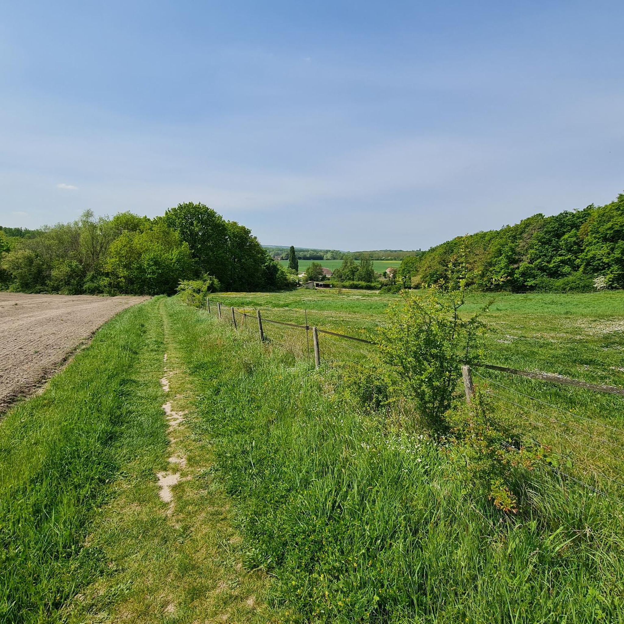
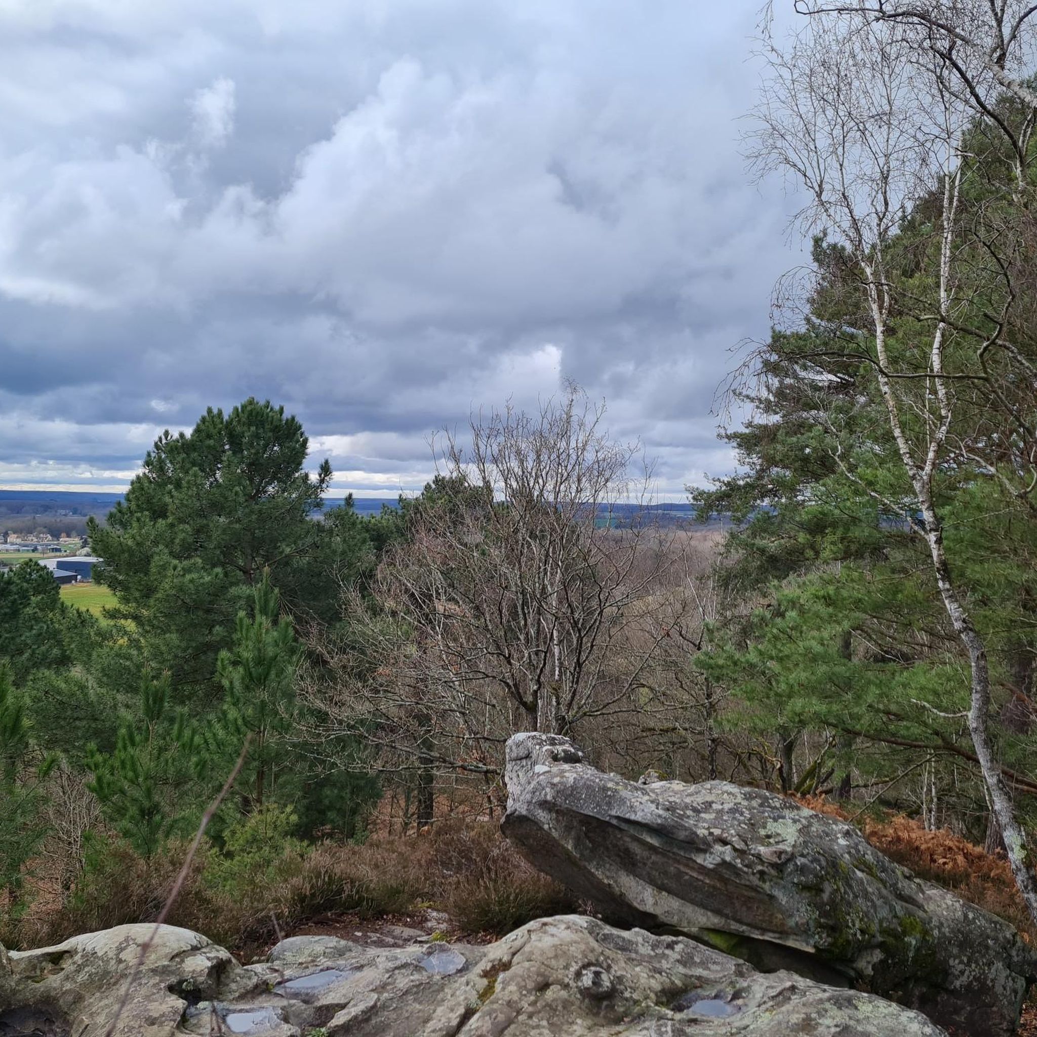
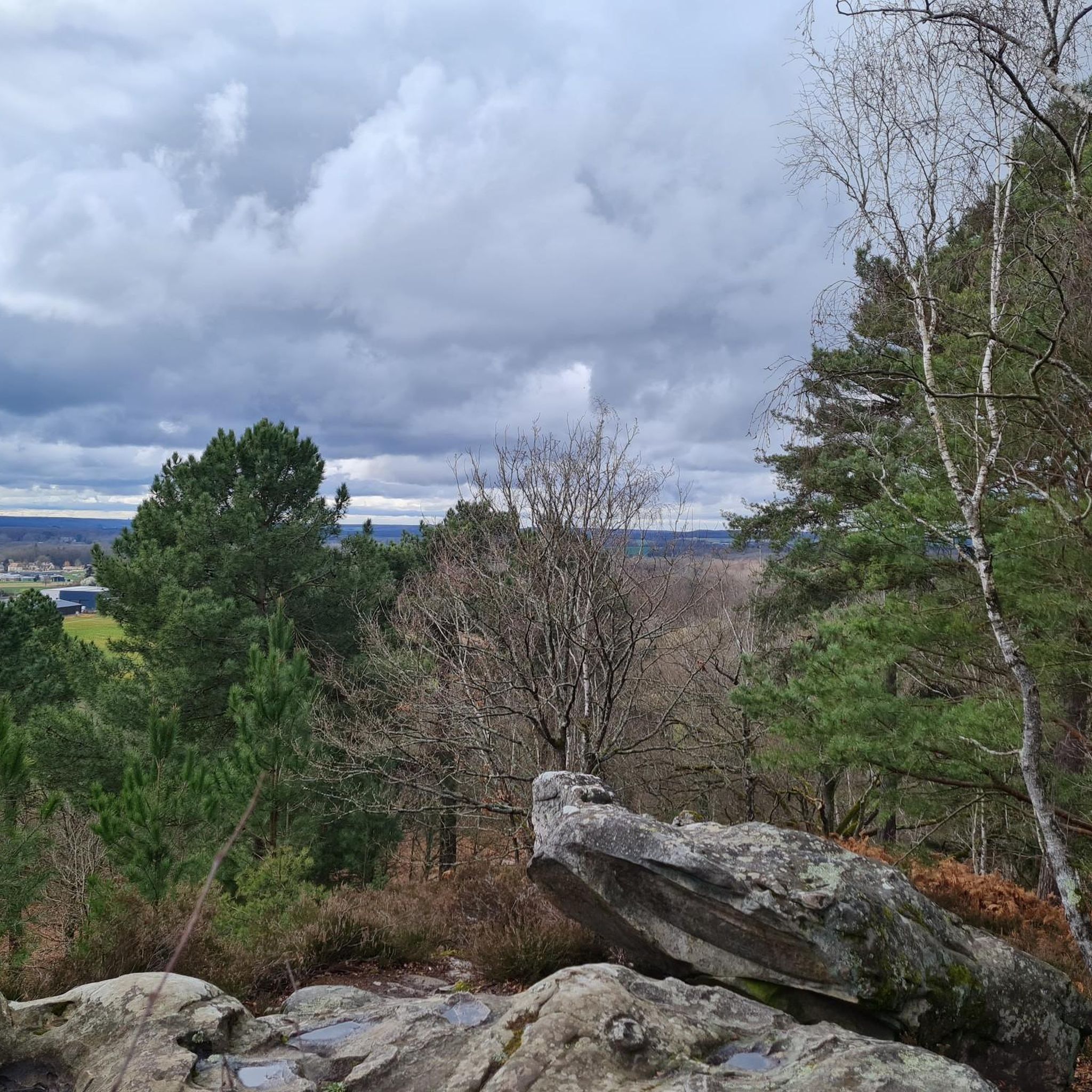
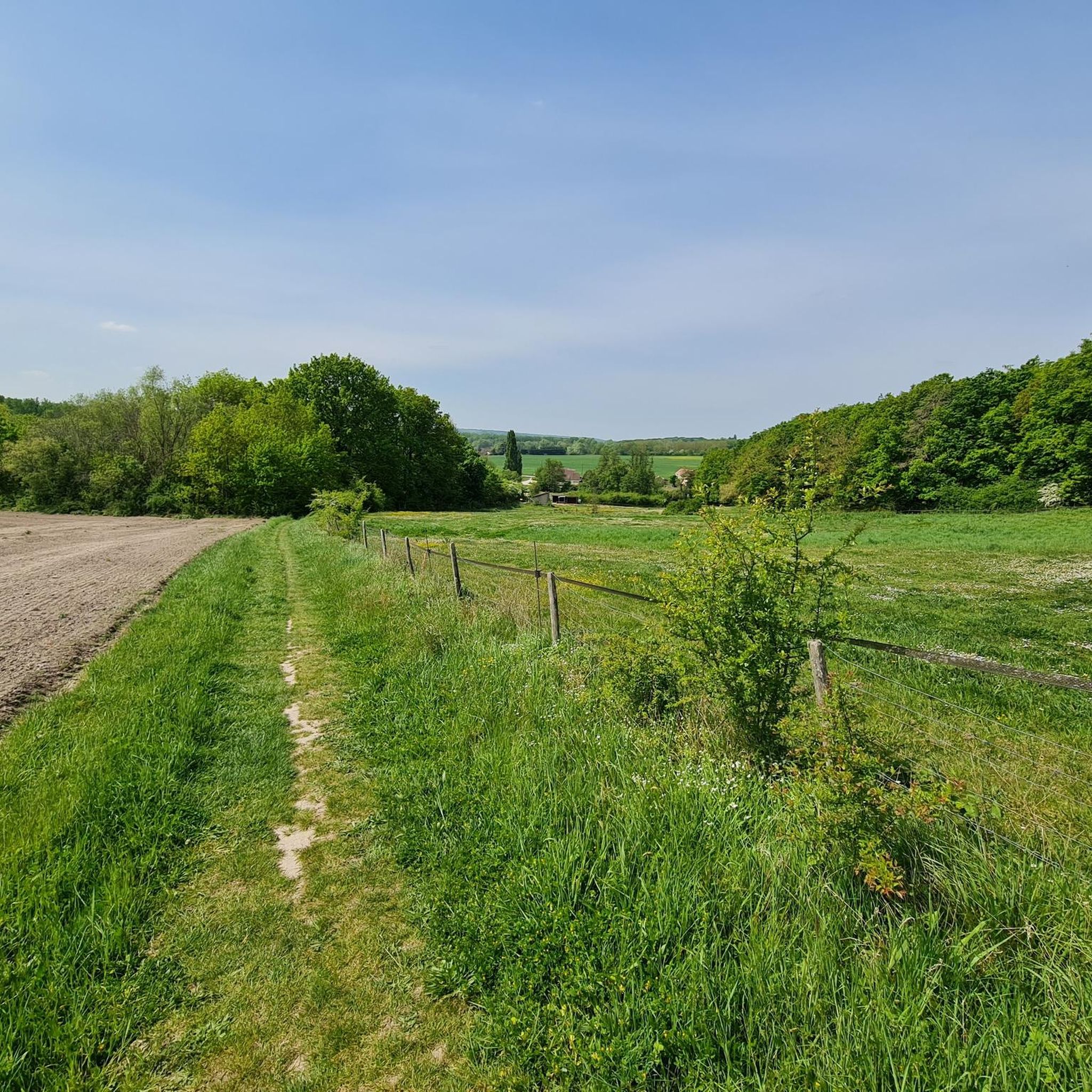
Tips from the Community

Beautiful expanse of greenery, very accessible by bike
0
0
Best done early in the morning as it is very busy during the day.
0
0
Magnificent park to wander from end to end. A must-do.
0
0
An early morning outing to enjoy all the wildlife around these lakes.
0
0
a portion of the track has been closed since March 31, 2025 (for 1 month)
0
0

Unmissable Gravel rides to reach Choisel
0
0

very nice gravel descent from Boullay-les-Troux to St Rémy
0
0

Great view when you are at the top of the viaduct!
0
0
Frequently Asked Questions
How many gravel bike trails are available around Bruyères-Le-Châtel?
There are over 50 gravel bike trails in the Bruyères-Le-Châtel area, offering a wide range of options for different skill levels and preferences.
Are there any easy gravel bike trails suitable for beginners or families?
Yes, Bruyères-Le-Châtel offers several easy gravel routes. A great option for beginners or families is the Carouge Basin – Carouge Basin loop from La Norville - Saint-Germain-lès-Arpajon, which is just over 12 km with minimal elevation gain. The region's greenways and river valleys generally provide gentle terrain.
What are some challenging gravel routes for experienced riders?
For more experienced riders seeking a challenge, consider the Greenway of the Pays de Limours – Janvry Fountain loop from Briis-sous-Forges. This 37.8 km route features more significant elevation changes and varied landscapes, classified as difficult.
Are there any scenic viewpoints or landmarks along the gravel trails?
Yes, the area around Bruyères-Le-Châtel offers several interesting sights. You can find historical structures like the Fauvettes Viaduct or the Templars' Bridge. For a unique historical perspective, explore the Old Route of the Limours Aérotrain.
What is the best time of year for gravel biking in Bruyères-Le-Châtel?
The region is generally pleasant for gravel biking from spring through autumn. The mix of agricultural lands and woodlands provides varied scenery. While specific weather conditions can vary, these seasons typically offer comfortable temperatures and drier trails.
Are there any loop trails available for gravel biking?
Many of the gravel routes in Bruyères-Le-Châtel are designed as loops, allowing you to start and finish at the same point. An example is the Trévoix Pond – Carouge Basin loop from Marolles-en-Hurepoix, which covers 35.2 km.
What do other gravel bikers enjoy most about the trails in Bruyères-Le-Châtel?
The area is highly rated by the komoot community, with an average score of 4.4 stars from over 80 reviews. Riders often praise the diverse terrain, which includes greenways, natural parks, and river basins, offering a good mix of surfaces and scenery for gravel cycling.
Are there any hidden gem gravel trails or less-known routes?
While many routes are popular, exploring the network of trails connecting small towns and natural parks can lead to quieter sections. The region's extensive network means there are always new paths to discover beyond the most frequented ones, particularly in areas like the Carouge Basin.
What is the typical length and duration of gravel bike trails in this region?
Gravel bike trails around Bruyères-Le-Châtel vary in length. Many routes range from 20 to 45 kilometers, with typical durations between 1.5 to 3 hours, depending on your pace and the specific trail's elevation profile. For instance, the Viaduc de la Prédécelle – Greenway of the Pays de Limours loop from Gometz-le-Châtel is 45.3 km and takes around 3.5 hours.
Are there any castles or historical sites to visit near the gravel routes?
Yes, the region is home to several castles. You can find historical sites such as Château du Mesnil-Voisin, Button Castle, and Villeconin Castle. These often provide interesting detours or scenic backdrops to your ride.
What kind of terrain can I expect on the gravel bike trails?
The terrain around Bruyères-Le-Châtel is characterized by a mix of agricultural lands, woodlands, and river valleys. You'll encounter diverse surfaces, including gravel paths, compacted dirt roads, and sections of greenways, with gentle ascents and descents throughout.
Most popular routes around Bruyères-Le-Châtel
Most popular attractions around Bruyères-Le-Châtel

Get inspired with the komoot mobile app


Explore more
Browse the best Gravel rides in other regions.
