The best gravel rides around Niedersteinbrunn
4.5
(104)
446
riders
84
rides
Gravel biking around Niedersteinbrunn offers a network of trails through varied terrain. The region is characterized by a mix of agricultural lands, forested sections, and waterways like the Canal du Rhône au Rhin. Elevations are moderate, with some routes featuring climbs over 400 meters. The landscape provides a diverse environment for gravel cyclists.
Best gravel bike trails around Niedersteinbrunn
- The most popular gravel bike trail is Nice trailhead – Small lake with island loop from Mulhouse-Ville, a 29.2 miles…
Last updated: July 16, 2026
4.8
(55)
191
riders
44.7km
02:20
120m
120m
Moderate gravel ride. Good fitness required. Mostly paved surfaces. Suitable for all skill levels.
4.6
(10)
104
riders
70.0km
03:42
230m
230m
Moderate gravel ride. Good fitness required. Mostly paved surfaces. Suitable for all skill levels.

Sign up for free
4.8
(6)
14
riders
47.1km
03:49
700m
700m
Hard gravel ride. Very good fitness required. Mostly paved surfaces. Suitable for all skill levels.
4
riders
46.5km
03:18
450m
450m
Hard gravel ride. Very good fitness required. Mostly paved surfaces. Suitable for all skill levels.
4
riders
40.9km
03:09
600m
600m
Hard gravel ride. Very good fitness required. Mostly paved surfaces. Suitable for all skill levels.
Get access to more routes and recommendations from other explorers.
Sign up for free
Already have an account?
Our route recommendations are based on thousands of hikes, rides, and runs completed by other people on komoot.
Start today with a free account
Your next adventure awaits.
Login or Signup
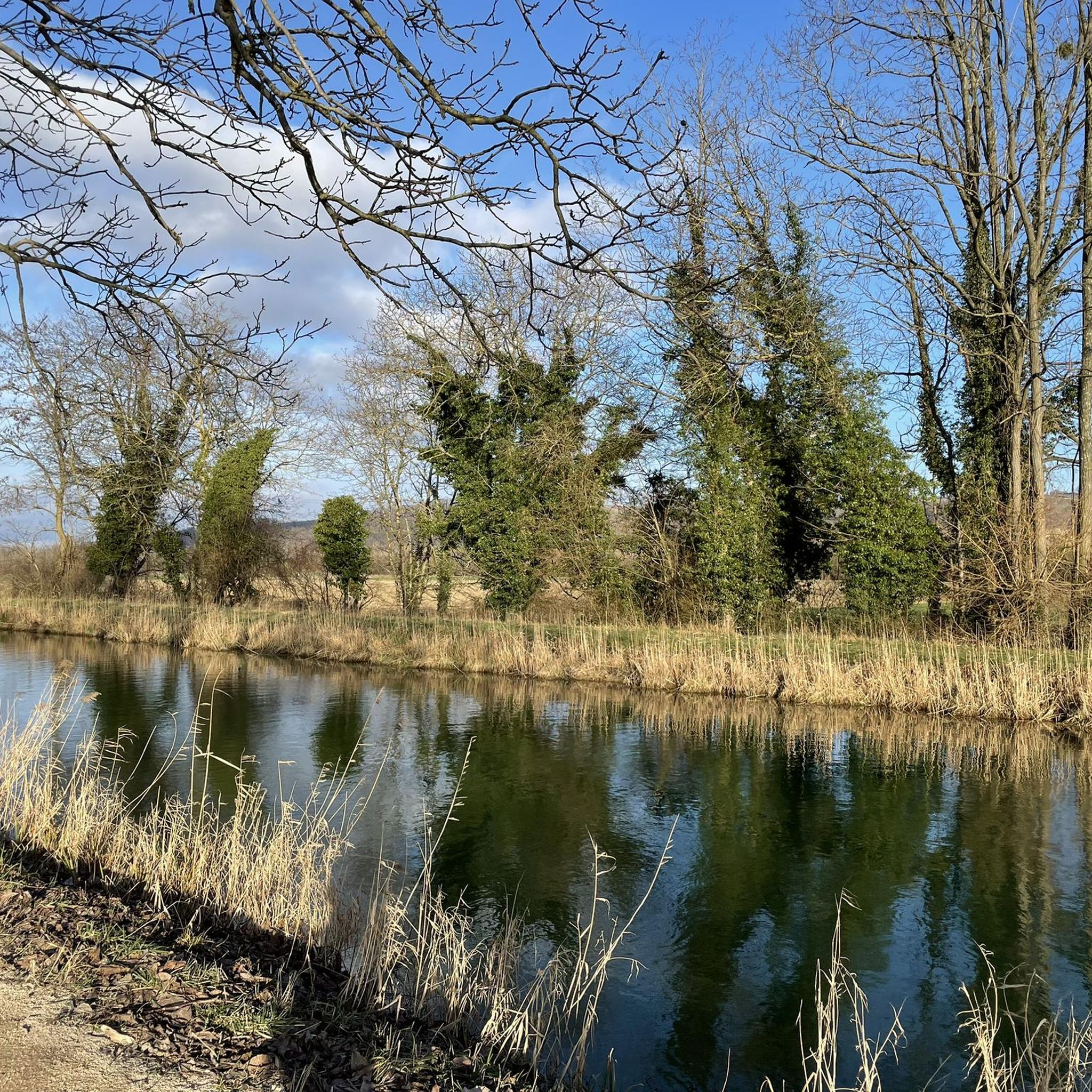
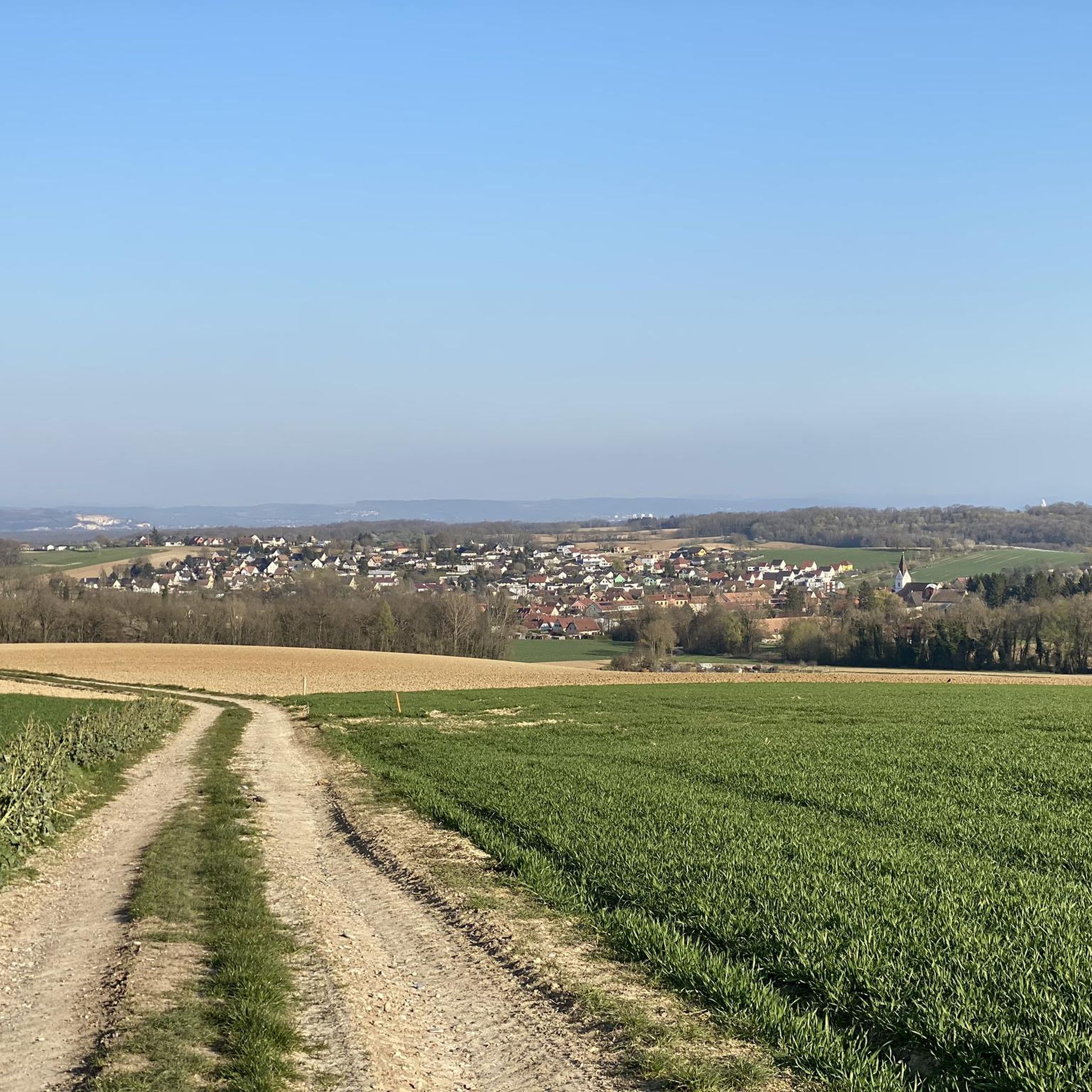
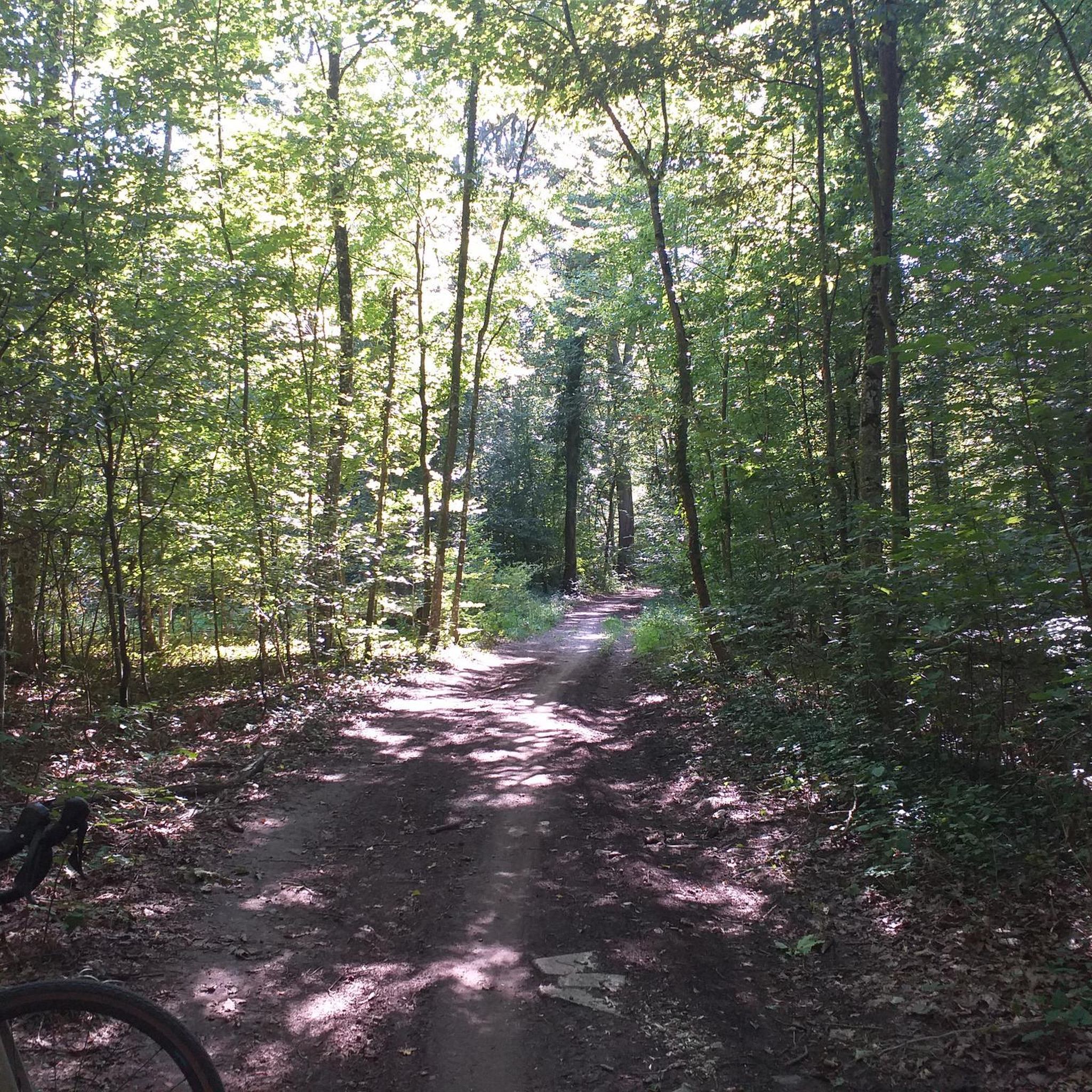
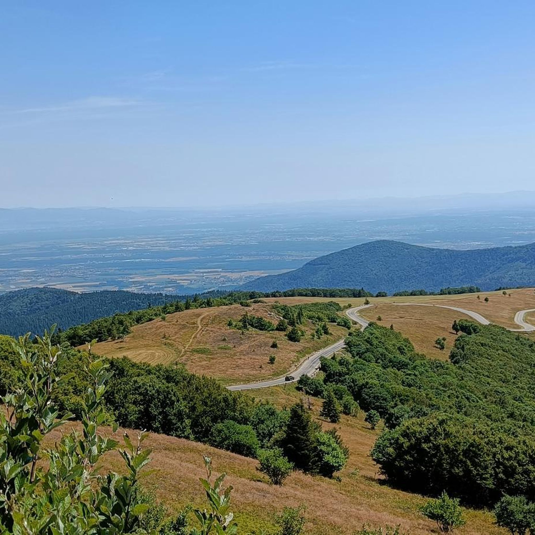

Tips from the Community

Beautiful spot in the vast hills overlooking Habsheim
0
0
A beautiful fishing pond in the middle of the forest
0
0
Many walking opportunities nearby
0
0

Guuge Konzärt, the special Alemannic carnival, begins on Monday at 4 a.m. with the morning parade and ends on Thursday at 4 a.m., all one week after Rose Monday.
0
0

It's fascinating how easy a border crossing can be.
2
0

Short MTB / BMX type track in the woods next to the cannel path.
0
0

Be sure to allow a cup of coffee
0
0

nice that it is actually not visible
0
0
Frequently Asked Questions
What is the general difficulty level of gravel biking trails around Niedersteinbrunn?
The gravel biking trails around Niedersteinbrunn offer a range of difficulties. While many routes are considered difficult, such as the Nice trailhead – Small lake with island loop from Mulhouse-Ville with its 639 meters of ascent, there are also easier options available. Overall, the region features 6 easy, 45 moderate, and 42 difficult routes, providing choices for various skill levels.
Are there any family-friendly or beginner gravel bike trails in the Niedersteinbrunn area?
Yes, for families or beginners looking for a less strenuous ride, there are several easier routes. One notable option is the Blue drawbridge Zillisheim – Brunstatt lock loop from Mulhouse-Ville. This route is 30.6 km long with a moderate elevation gain of 134 meters, making it suitable for those new to gravel biking or looking for a relaxed outing.
What kind of terrain can I expect on gravel bike routes near Niedersteinbrunn?
The terrain around Niedersteinbrunn is quite varied. You'll encounter a mix of agricultural lands, dense forested sections, and paths running alongside waterways like the Canal du Rhône au Rhin. Routes often combine gravel and dirt paths, with moderate elevations and some climbs exceeding 400 meters, offering a diverse cycling experience.
What are some of the longer or more challenging gravel routes for experienced riders?
Experienced gravel bikers seeking a significant challenge can explore routes like The Sundgau ponds – Grand Cannon of Zillisheim loop from Illfurth. This extensive route spans over 104 km and features a substantial elevation gain of 1067 meters, providing a demanding and rewarding ride.
What attractions or points of interest can I see along the gravel bike trails?
Many gravel routes in the region pass by interesting sights. You might encounter historical structures like the Kembs Drawbridge on the Huningue Canal or the Niffer Lock. Natural highlights include the Huningue Canal itself, and the Petite Camargue Alsacienne Nature Reserve. For natural monuments, look out for the The Great Oak or the Ziehlbrunnen Spring.
Are there any circular gravel bike routes available around Niedersteinbrunn?
Yes, many of the gravel bike routes in the Niedersteinbrunn area are designed as loops, allowing you to start and finish at the same point. An example is the Gravel or dirt path – Stetten loop from Rantzwiller, which offers a 46.5 km circular journey through varied landscapes.
What do other gravel bikers enjoy most about the trails in Niedersteinbrunn?
The gravel biking experience in Niedersteinbrunn is highly rated by the komoot community, with an average score of 4.3 stars from over 30 reviews. Cyclists often praise the diverse environment, which includes a mix of agricultural fields, dense woodlands, and scenic canal-side paths, providing a varied and engaging ride.
How many gravel bike trails are there in total around Niedersteinbrunn?
There are over 90 gravel bike trails available around Niedersteinbrunn. This extensive network provides numerous options for exploring the region's varied terrain, catering to different preferences and skill levels.
What is the typical duration for gravel bike rides in this region?
The duration of gravel bike rides in Niedersteinbrunn varies significantly depending on the route's length and difficulty. For instance, a difficult route like the Nice trailhead – Small lake with island loop from Mulhouse-Ville, which is 47 km long, typically takes around 3 hours and 42 minutes to complete. Shorter, easier routes will naturally take less time.
Are there any routes that follow the Canal du Rhône au Rhin?
Yes, several gravel bike routes incorporate sections along the Canal du Rhône au Rhin, offering scenic and often flatter riding opportunities. The Petit Séminaire de Zillisheim – Canal du Rhône au Rhin loop from Mulhouse-Ville is a prime example, featuring parts of the canal and rural areas.
What is the best time of year for gravel biking in Niedersteinbrunn?
While specific seasonal conditions can vary, the varied terrain of Niedersteinbrunn, with its mix of agricultural lands and forested sections, generally offers good gravel biking opportunities throughout much of the year. Spring and autumn often provide pleasant temperatures and vibrant scenery, while summer can be enjoyable, especially on shaded forest paths or along the canals.
Most popular routes around Niedersteinbrunn
Most popular attractions around Niedersteinbrunn

Get inspired with the komoot mobile app


Explore more
Browse the best Gravel rides in other regions.
