The best gravel rides around Picherande
4.9
(7)
72
riders
19
rides
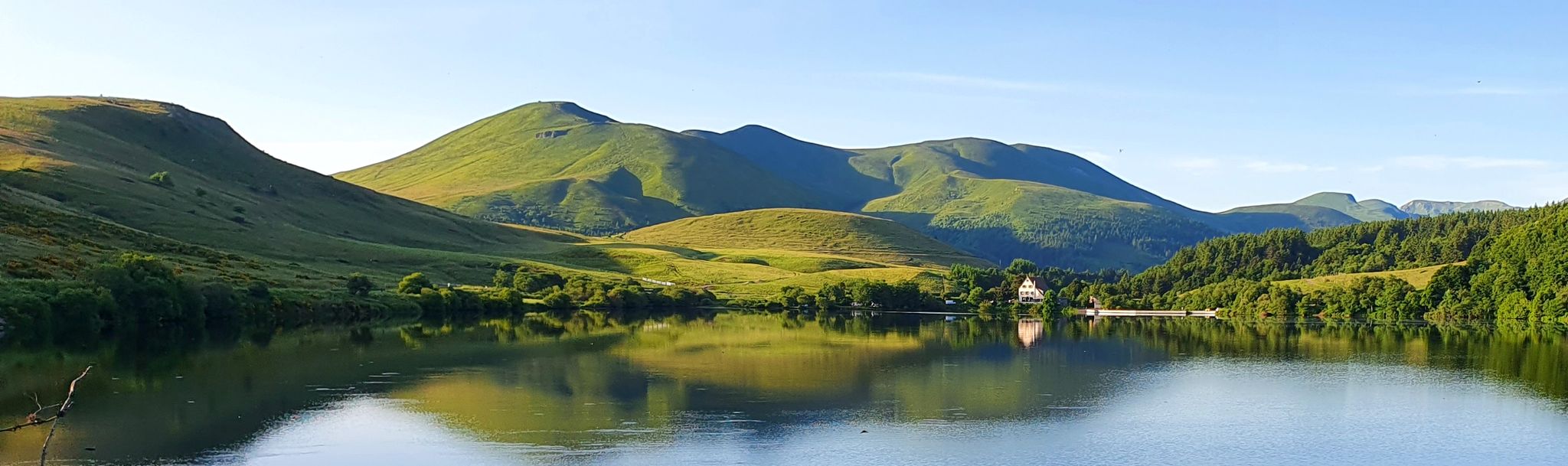
Gravel biking around Picherande offers routes through the volcanic landscapes of the Massif Central, characterized by rolling hills, high mountain passes, and pristine lakes. The region features a mix of open terrain, forested sections, and challenging ascents. Gravel bike trails near Picherande often follow ancient paths and quiet country roads, providing varied surfaces for exploration. The area's elevation changes make for engaging rides, with views of the surrounding Auvergne mountains.
Best gravel bike trails around Picherande
- The most popular gravel bike trail is Charlannes Waterfall – The Dordogne at La Bourboule loop from La Sagne-Haute, a 18.4 miles (29.6 km) trail that takes 2 hours 38 minutes to complete. This difficult route explores river valleys and forested areas.
- Another top favourite among local gravel bikers is Croix Morand Pass – Col de la Croix Morand loop from Mont-Dore, a difficult 28.3 miles (45.5 km) path. This route features significant elevation gain through mountain passes.
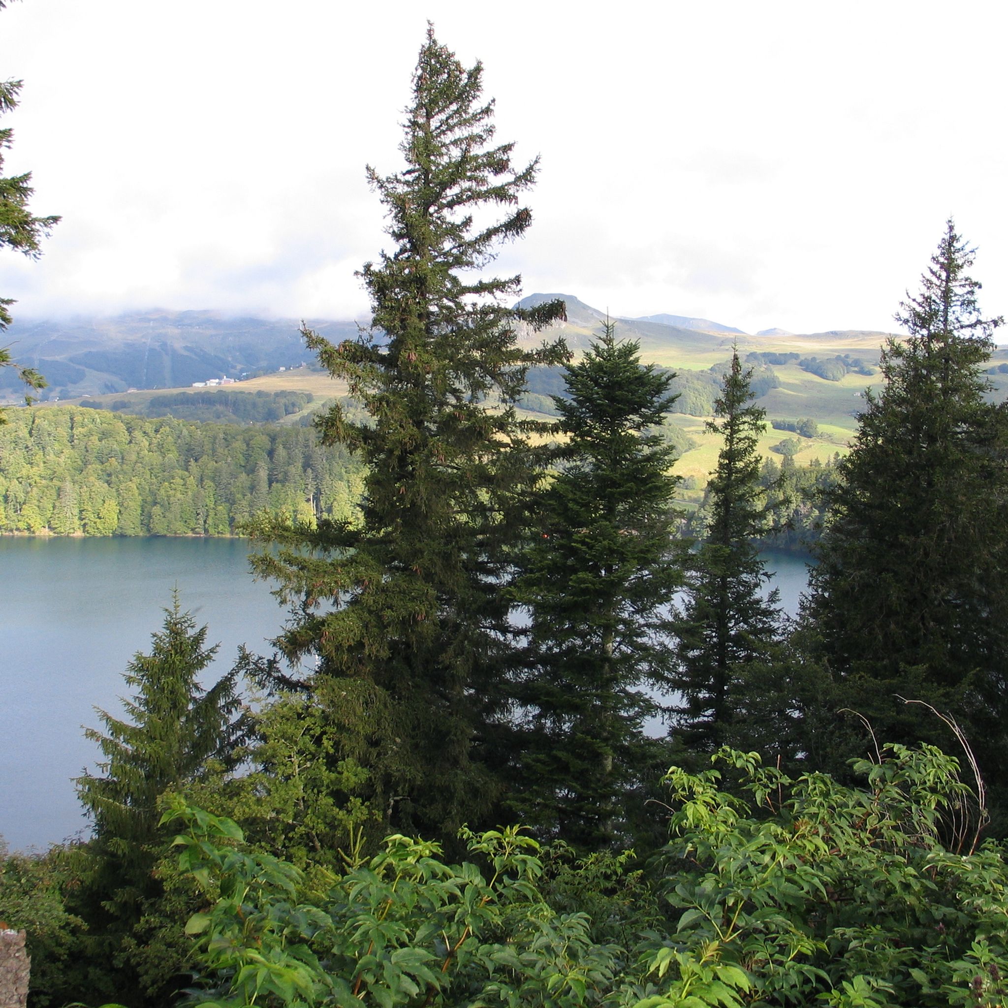
- Local gravel bikers also love the Lake Pavin – Lake Bourdouze loop from Communauté de communes du Massif du Sancy, a 16.1 miles (25.9 km) trail leading through volcanic lake districts, often completed in about 2 hours 6 minutes.
- Gravel biking around Picherande is defined by volcanic peaks, high mountain passes, and serene lake districts. The network offers options for various ability levels, from easier paths to more challenging ascents.
- The routes in Picherande are highly rated by the komoot community with an average score of 4.9 stars from 8 reviews. More than 70 gravel bikers have used komoot to explore Picherande's varied terrain.
Last updated: July 16, 2026
5.0
(1)
15
riders
Hard gravel ride. Very good fitness required. Mostly paved surfaces. Suitable for all skill levels.
4.8
(4)
32
riders
45.8km
03:36
1,120m
1,120m
Hard gravel ride. Very good fitness required. Mostly paved surfaces. Suitable for all skill levels.

Sign up for free
5.0
(1)
11
riders
73.4km
05:02
1,560m
1,560m
Hard gravel ride. Very good fitness required. Mostly paved surfaces. Suitable for all skill levels.
5.0
(2)
7
riders
Hard gravel ride. Very good fitness required. Mostly paved surfaces. Suitable for all skill levels.
5.0
(1)
8
riders
23.2km
01:46
410m
410m
Moderate gravel ride. Good fitness required. Mostly paved surfaces. Suitable for all skill levels.
Get access to more routes and recommendations from other explorers.
Sign up for free
Already have an account?
Our route recommendations are based on thousands of hikes, rides, and runs completed by other people on komoot.
Start today with a free account
Your next adventure awaits.
Login or Signup
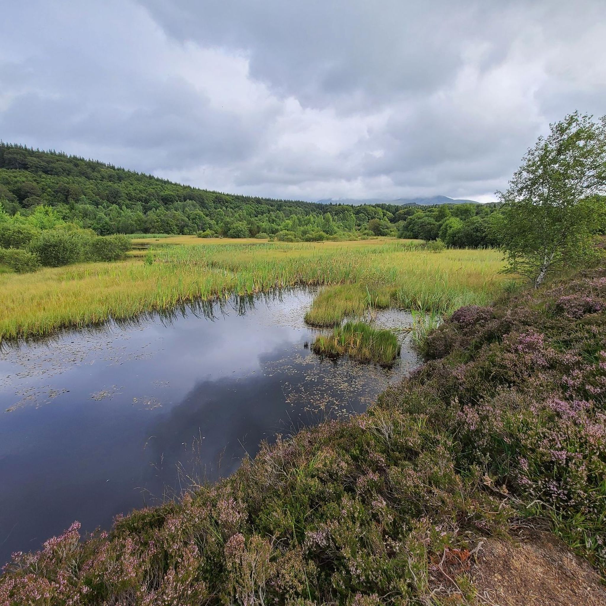

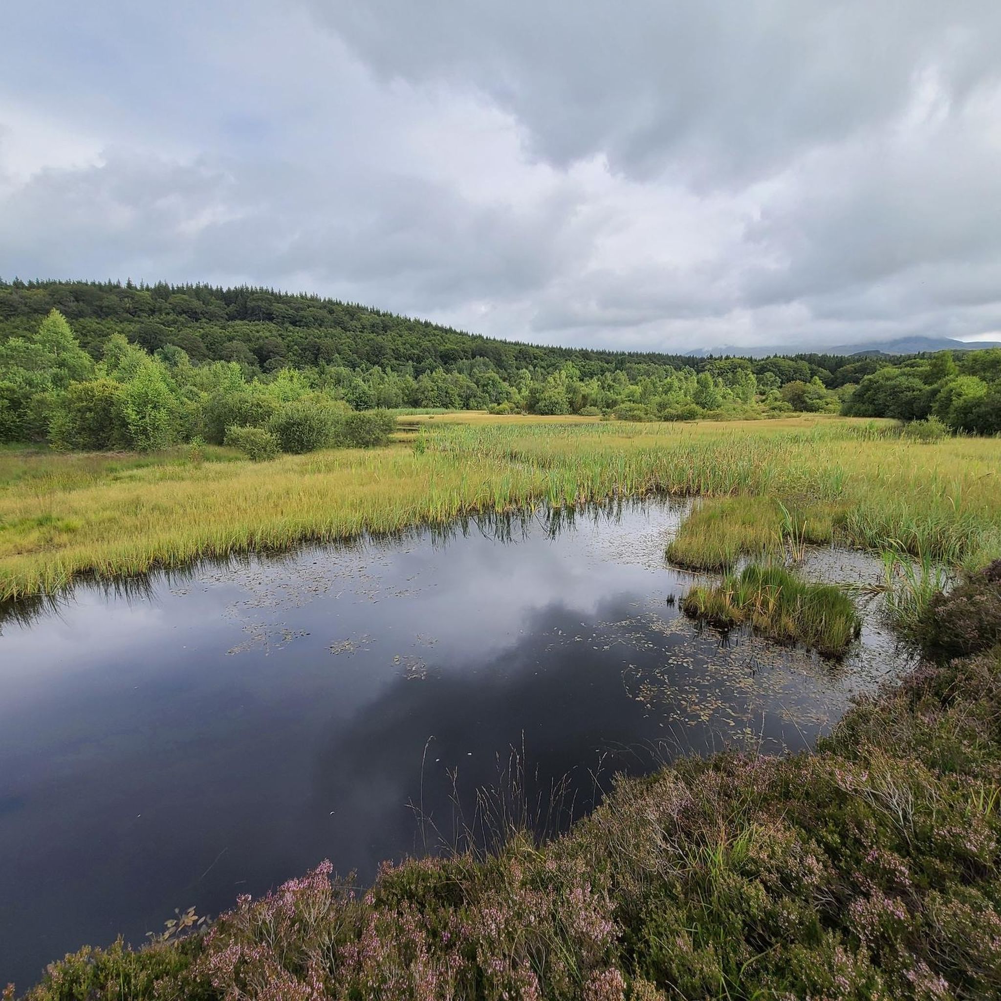
Other adventures around Picherande

Tips from the Community

A beautiful view of the landscape from the D996.
0
0

A wonderful pass, superb landscapes! And a very beautiful route
1
0
A challenge with full luggage, as the Robert Pass is currently closed. Traffic was quite bearable. The pass hut was rather busy, but it was also Whitsun. I can't imagine what would have been like if the weather had been perfect.
0
0

A beautiful little town in the Auvergne region. A must-see in both summer and winter.
0
0

Heated picnic room with microwave Cross-country ski rental Restaurant opening in February 2025
0
0


The Col de Guéry, located in the heart of the Auvergne region, offers a picturesque mountain pass experience amidst the volcanic landscapes of the Massif Central. At an altitude of approximately 1,267 metres, the pass offers stunning views of Lake Guéry below, the highest lake in Auvergne. The region is known for its tranquil beauty, with rolling meadows, dramatic volcanic peaks and forests that change colour with the seasons. Nearby Roche Sanadoire and Roche Tuilière add to the spectacular scenery, making it a perfect stop on your hike.
1
0

Site for outdoor activities (cross-country skiing, snowshoeing, hiking, mountain biking), halfway between the Tour d'Auvergne and the towns of Mont-Dore and La Bourboule.
1
0
Frequently Asked Questions
How many gravel bike trails are available around Picherande?
There are over 20 gravel bike routes available around Picherande, offering a variety of experiences through the region's volcanic landscapes.
Are there any easy gravel bike trails suitable for beginners in Picherande?
While many routes in Picherande feature significant elevation gain and are rated difficult, there is at least one easy gravel bike trail available. It's advisable for beginners to check the route profiles carefully for elevation and surface type.
What is the best season for gravel biking in Picherande?
The best season for gravel biking in Picherande is typically from late spring to early autumn (May to October). During these months, the weather is generally milder, and trails are more accessible. Always check the local weather forecast before heading out, especially for higher elevations.
Are there family-friendly gravel bike trails around Picherande?
For families, it's best to look for routes with minimal elevation gain and smoother surfaces. While most trails are rated difficult, the single easy route available might be suitable. Always review the route details and difficulty ratings before planning a family outing.
Can I find circular gravel bike routes in Picherande?
Yes, many of the gravel bike trails around Picherande are designed as loops, allowing you to start and finish at the same point. Examples include the Charlannes Waterfall – The Dordogne at La Bourboule loop from La Sagne-Haute and the Croix Morand Pass – Col de la Croix Morand loop from Mont-Dore.
What kind of natural attractions can I see along the gravel bike trails?
The region is rich in natural beauty. You can encounter stunning waterfalls like The Grande Cascade of Mont-Dore or Queureuilh waterfall. The trails also offer views of volcanic peaks such as Puy de Sancy and Puy des Crebasses.
Are there any hidden gem gravel bike routes in Picherande?
For a less-trafficked experience, consider routes that explore the serene lake districts, such as the Lake Pavin – Lake Bourdouze loop from Communauté de communes du Massif du Sancy. These often provide a quieter ride through unique volcanic landscapes.
What do other gravel bikers enjoy most about gravel biking in Picherande?
The komoot community highly rates the gravel biking experience in Picherande, with an average score of 4.9 stars. Riders often praise the diverse terrain, from river valleys and forested sections to challenging mountain passes, and the stunning views of the Auvergne mountains.
What are the typical distances and durations for gravel bike routes in Picherande?
Gravel bike routes in Picherande vary significantly. For example, the Charlannes Waterfall – The Dordogne at La Bourboule loop from La Sagne-Haute is 18.4 miles (29.6 km) and takes about 2 hours 38 minutes, while the Croix Morand Pass – Col de la Croix Morand loop from Chastreix is 45.7 miles (73.5 km) and can take over 6 hours.
Where can I find parking for gravel biking trails in Picherande?
Many loop routes, like those starting from Mont-Dore or La Sagne-Haute, typically have designated parking areas near their starting points. It's recommended to check the specific route details on komoot for parking information and access points before your ride.
What kind of wildlife might I encounter on the gravel trails?
The Massif Central is home to diverse wildlife. While gravel biking, you might spot various bird species, deer, and other small mammals in the forested and open terrain. Respecting nature and keeping a safe distance is always advised.
Are there cafes or places to stop for refreshments along the gravel trails?
While some routes pass through or near villages where cafes might be available, many trails traverse remote areas. It's always a good idea to carry sufficient water and snacks, and to plan your route to include potential refreshment stops if needed.
Most popular routes around Picherande
Most popular attractions around Picherande

Get inspired with the komoot mobile app


Explore more
Browse the best Gravel rides in other regions.
