The best gravel rides around Hohrod
4.2
(43)
327
riders
42
rides
Gravel biking around Hohrod offers routes through the diverse landscapes of the Vosges mountains. The region is characterized by dense forests, open mountain pastures, and significant elevation changes, providing varied terrain for gravel cyclists. Riders can expect a mix of forest roads, gravel paths, and some paved sections connecting different valleys and ridges. The topography includes numerous hills and mountain passes, making for challenging climbs and rewarding descents.
Best gravel bike trails around Hohrod
- The most popular gravel bike trail…
Last updated: October 6, 2026
4.3
(12)
105
riders
46.3km
02:48
480m
480m
Hard gravel ride. Very good fitness required. Mostly paved surfaces. Suitable for all skill levels.
3.0
(1)
39
riders
59.5km
04:26
1,360m
1,360m
Hard gravel ride. Very good fitness required. Mostly paved surfaces. Suitable for all skill levels.

3.0
(1)
7
riders
14.4km
01:20
440m
440m
Moderate gravel ride. Good fitness required. Mostly paved surfaces. Suitable for all skill levels.
4.3
(3)
9
riders
33.2km
02:47
940m
940m
Hard gravel ride. Very good fitness required. Mostly paved surfaces. Suitable for all skill levels.
4.0
(3)
7
riders
23.1km
02:18
720m
720m
Hard gravel ride. Very good fitness required. You may need to push your bike for some segments of this route.
Get access to more routes and recommendations from other explorers.
Already have an account?
Our route recommendations are based on thousands of hikes, rides, and runs completed by other people on komoot.
Start today with a free account
Your next adventure awaits.
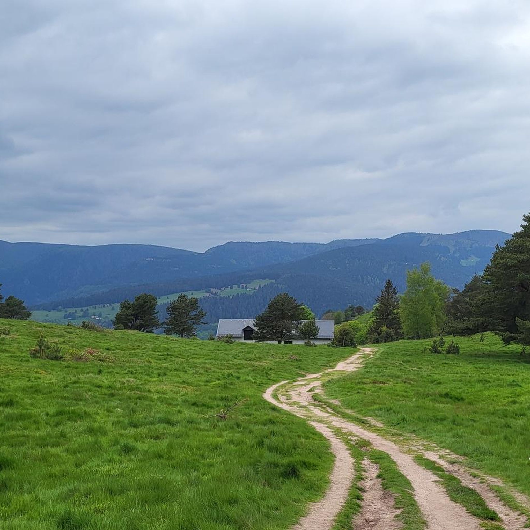
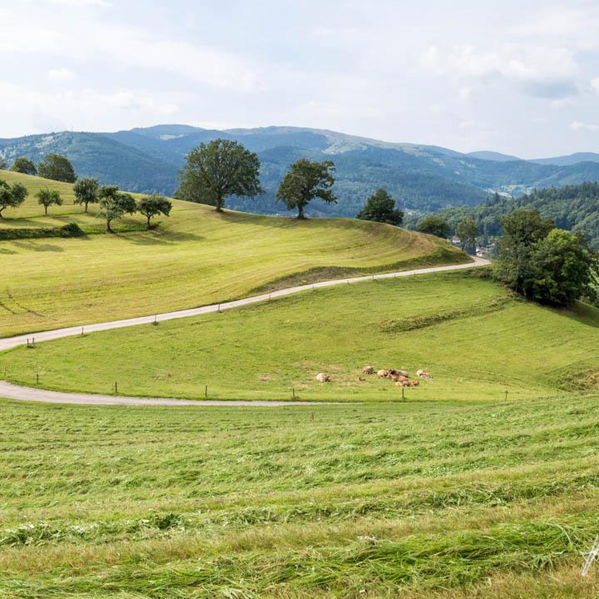
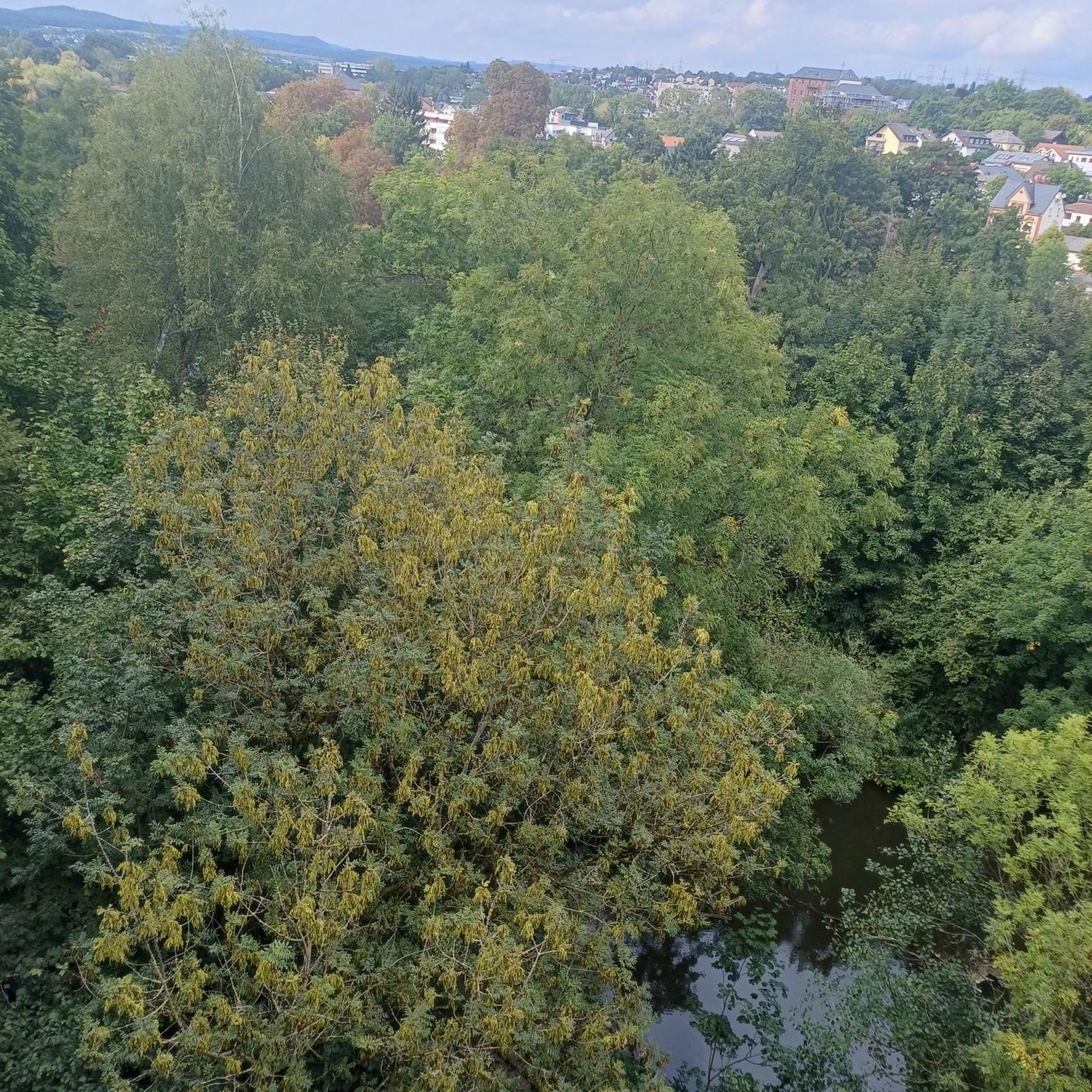
Other adventures around Hohrod

Tips from the Community

The Route des Crêtes (from the D430 near Rothenbach) is one of the most beautiful ridge roads in Europe. The road was originally built in 1914 by the French army to supply the troops at the front during World War I. Today, it is an iconic panoramic route that connects the main peaks of the Vosges.
1
0
This view is even more beautiful if you have climbed via the Col de Bramont to the col du Rodenbach. So recognizable.
4
0
The Route des Crêtes (the D430 near Rothenbach) is one of the most beautiful ridge routes in Europe. The road was originally built in 1914 by the French army to supply troops at the front in World War I. Today, it is an iconic panoramic route that connects the main peaks of the Vosges.
4
0
The highlight is on the Route des Crêtes and concerns the Rothenbach pass at 1210m. The kopf is still 100 m higher (1316 m). The Rothenbach pass is located on an open mountain saddle in the High Vosges, just below the Rothenbachkopf (1316 m). The pass is around 1210 meters high and forms a natural transition between the ridges of the Rainkopf and the Batteriekopf. The landscape consists of wide, treeless mountain meadows (chaumes) created by centuries of grazing and the harsh climate at this altitude. From the pass, you have a panoramic view of the Mittlach valley, the Hohneck, and the long ridges of the Ballons massif. Very beautiful pass with those bare expanses.
4
0
The Col du Rothenbach is a 5-kilometer climb. This is a category 2 climb. The average gradient of this climb is 6.6% with a maximum of 9%. The Col du Rothenbach rises from 903 meters at the start to 1,234 meters at the top, with a total of 331 meters of elevation gain.
5
0
The Col du Rothenbach is a 1205-meter-high mountain pass in the High Vosges. The pass is located directly on the famous, panoramic Route des Crêtes (D430) and lies within the territory of the municipality of Wildenstein. The pass is situated in the heart of the Hautes Chaumes du Rothenbach protected nature reserve, known for its characteristic high-altitude meadows (chaumes) and subalpine flora. For cyclists, the col is mainly known as a link station or a rolling intermediate section (approx. 5 kilometers of climbing depending on the approach) on the ridge route between Le Markstein and the Col de la Schlucht.
5
0

Cycle path runs up and down mostly in the shade next to the villages. Good access for the ascents of Col du Firstplan and Col du Petit Ballon.
1
0

It's always so nice. Beautiful view on both sides, not much traffic that day.
1
0
Frequently Asked Questions
How many gravel bike trails are available around Hohrod?
Hohrod and its surroundings offer a diverse network of over 45 gravel bike trails. These routes traverse the varied landscapes of the Vosges mountains, providing options for different skill levels.
Are there any beginner-friendly gravel bike routes in Hohrod?
While many routes in Hohrod feature significant elevation changes, there are a few options suitable for those newer to gravel biking. For example, the Black Lake – Lac Blanc loop from Pairis is a moderate 8.9-mile (14.3 km) trail that offers a scenic ride through forested areas and past Lac Blanc.
What are some challenging gravel biking routes in the Hohrod area?
For experienced gravel bikers seeking a challenge, Hohrod offers several demanding routes. The Col de la Schlucht – La route des crêtes loop from Gunsbach is a difficult 37.7-mile (60.6 km) trail with substantial climbs and panoramic views along the famous Route des Crêtes. Another challenging option is the Munster – Munster Protestant Church loop from Muhlbach-sur-Munster, covering 58.6 miles (94.3 km) with significant elevation gain.
What kind of terrain can I expect on gravel bike trails around Hohrod?
The terrain around Hohrod is highly varied, reflecting its location in the Vosges mountains. You can expect a mix of well-maintained forest roads, dedicated gravel paths, and some paved sections connecting different valleys and ridges. The topography includes numerous hills and mountain passes, ensuring both challenging climbs and rewarding descents through dense forests and open mountain pastures.
Are there any circular gravel routes near Hohrod?
Yes, many of the gravel routes in Hohrod are designed as loops, allowing you to start and finish in the same location. A popular moderate circular route is the Munster Protestant Church – Munster loop from Munster, which explores the valley floor and surrounding hills. For a longer, more challenging loop, consider the Pinot Bend – Sondernach to Petit Ballon loop from Gunsbach.
What scenic viewpoints or natural attractions can I find along the gravel trails?
The gravel trails around Hohrod offer numerous scenic spots. You'll encounter beautiful mountain lakes like Lac Blanc and Black Lake. Many routes also pass through high-altitude mountain passes such as Col de la Schlucht and Petit Ballon Pass, offering expansive views of the Vosges landscape. Keep an eye out for viewpoints like the View of Lake Schiessrothried.
What is the best time of year for gravel biking in Hohrod?
The best time for gravel biking in Hohrod is typically from late spring through early autumn (May to October). During these months, the weather is generally milder, and the trails are more likely to be clear of snow and ice, especially at higher elevations. Always check local weather conditions before heading out, as mountain weather can change rapidly.
Are there places to eat or drink near the gravel bike routes?
Yes, the region around Hohrod, particularly in towns like Munster and Gunsbach, offers various cafes, restaurants, and traditional Alsatian 'fermes-auberges' where you can refuel. Many routes pass through or near these villages, providing convenient stops for refreshments. It's always a good idea to carry sufficient water and snacks, especially on longer or more remote trails.
What do other gravel bikers enjoy most about Hohrod's trails?
The komoot community highly rates the gravel biking experience in Hohrod, with an average score of 4.3 stars from over 55 reviews. Riders frequently praise the diverse terrain, from challenging mountain climbs to scenic forest paths, and the stunning panoramic views along the Route des Crêtes and from various mountain passes. The variety of routes catering to different ability levels is also a common highlight.
Is public transport available to access gravel biking trailheads in Hohrod?
Public transport options to access trailheads in the Hohrod area are somewhat limited, given its mountainous and rural setting. While some bus services connect larger towns like Munster, reaching specific, more remote trailheads often requires personal transport. It's advisable to check local bus schedules if you plan to rely on public transport, and consider starting your ride from a more accessible village.
Where can I find parking for gravel biking routes in Hohrod?
Parking is generally available in the villages and towns that serve as starting points for many routes, such as Munster, Gunsbach, or Pairis. Look for designated public parking areas. For routes starting at higher elevations or more remote spots, smaller parking lots or roadside pull-offs may be available. Always ensure you park legally and considerately.
Most popular attractions around Hohrod

Get inspired with the komoot mobile app


Explore more
Browse the best Gravel rides in other regions.
