The best gravel rides around Luttenbach-Près-Munster
4.3
(53)
397
riders
39
rides
Gravel biking around Luttenbach-Près-Munster offers diverse landscapes within the Munster Valley, part of the Vosges Massif. The terrain features a mix of paved surfaces, gravel paths, dirt tracks, and forest trails. Cyclists encounter low mountain ranges, glacial lakes, and extensive forests, with the Fecht river often paralleled by cycling paths. The region provides options from moderate routes to challenging climbs with significant elevation gain.
Best gravel bike trails around Luttenbach-Près-Munster
- The most popular gravel bike trail is Turckheim town centre…
Last updated: October 6, 2026
4.9
(8)
73
riders
59.3km
04:25
1,520m
1,520m
Hard gravel ride. Very good fitness required. Mostly paved surfaces. Suitable for all skill levels.
4.3
(12)
105
riders
46.3km
02:48
480m
480m
Hard gravel ride. Very good fitness required. Mostly paved surfaces. Suitable for all skill levels.

3.0
(1)
39
riders
59.5km
04:26
1,360m
1,360m
Hard gravel ride. Very good fitness required. Mostly paved surfaces. Suitable for all skill levels.
4.3
(3)
9
riders
33.2km
02:47
940m
940m
Hard gravel ride. Very good fitness required. Mostly paved surfaces. Suitable for all skill levels.
4.7
(3)
30
riders
49.2km
03:27
1,150m
1,150m
Hard gravel ride. Very good fitness required. Mostly paved surfaces. Suitable for all skill levels.
Get access to more routes and recommendations from other explorers.
Already have an account?
Our route recommendations are based on thousands of hikes, rides, and runs completed by other people on komoot.
Start today with a free account
Your next adventure awaits.
Popular around Luttenbach-Près-Munster

Thatches, lakes and forests – Tour des Ballons des Vosges
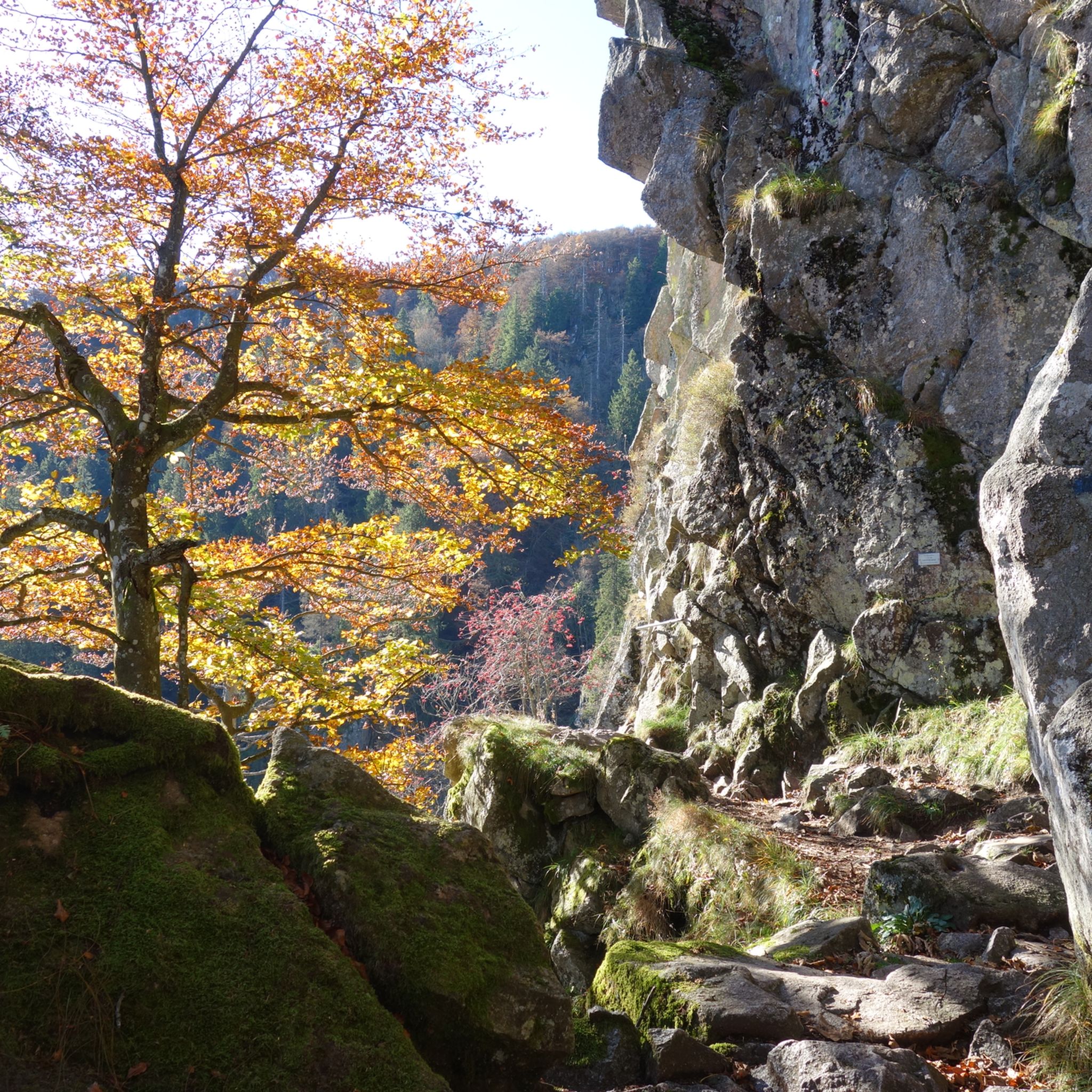
Hiking around Luttenbach-Près-Munster
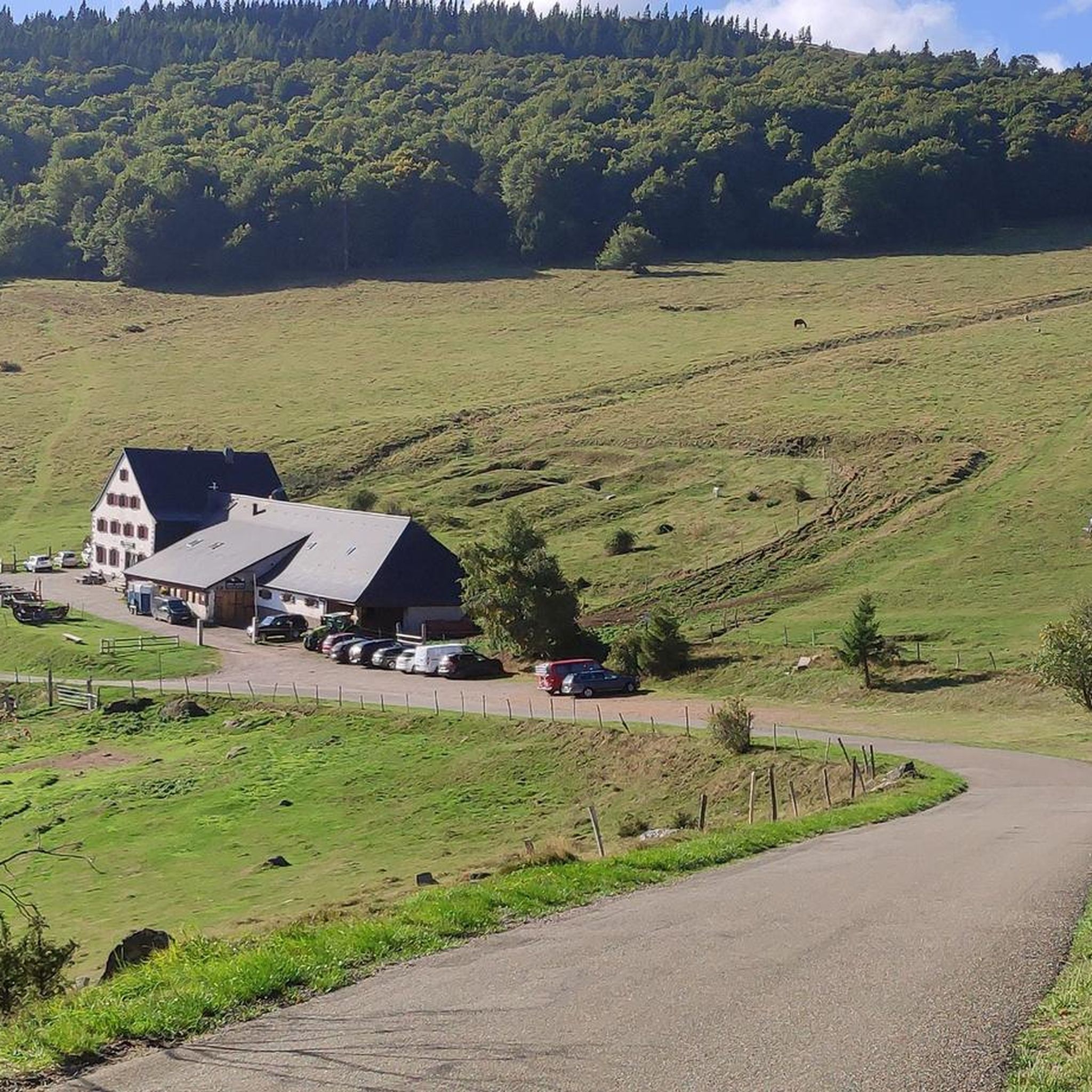
Road Cycling Routes around Luttenbach-Près-Munster
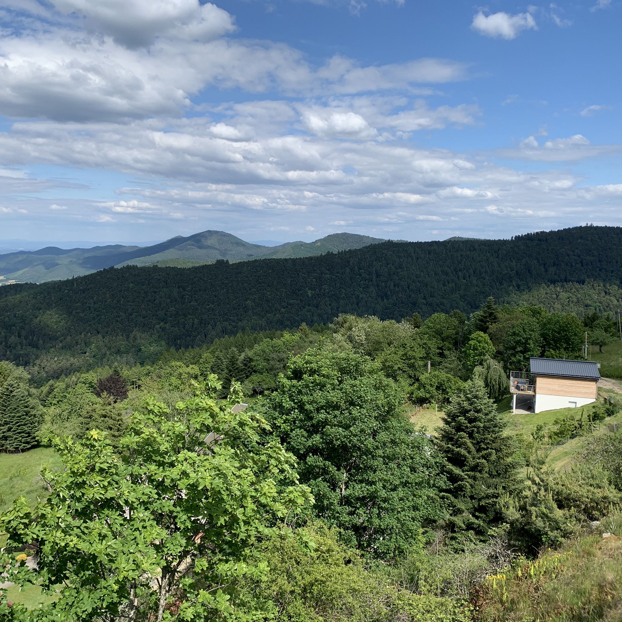
Cycling around Luttenbach-Près-Munster
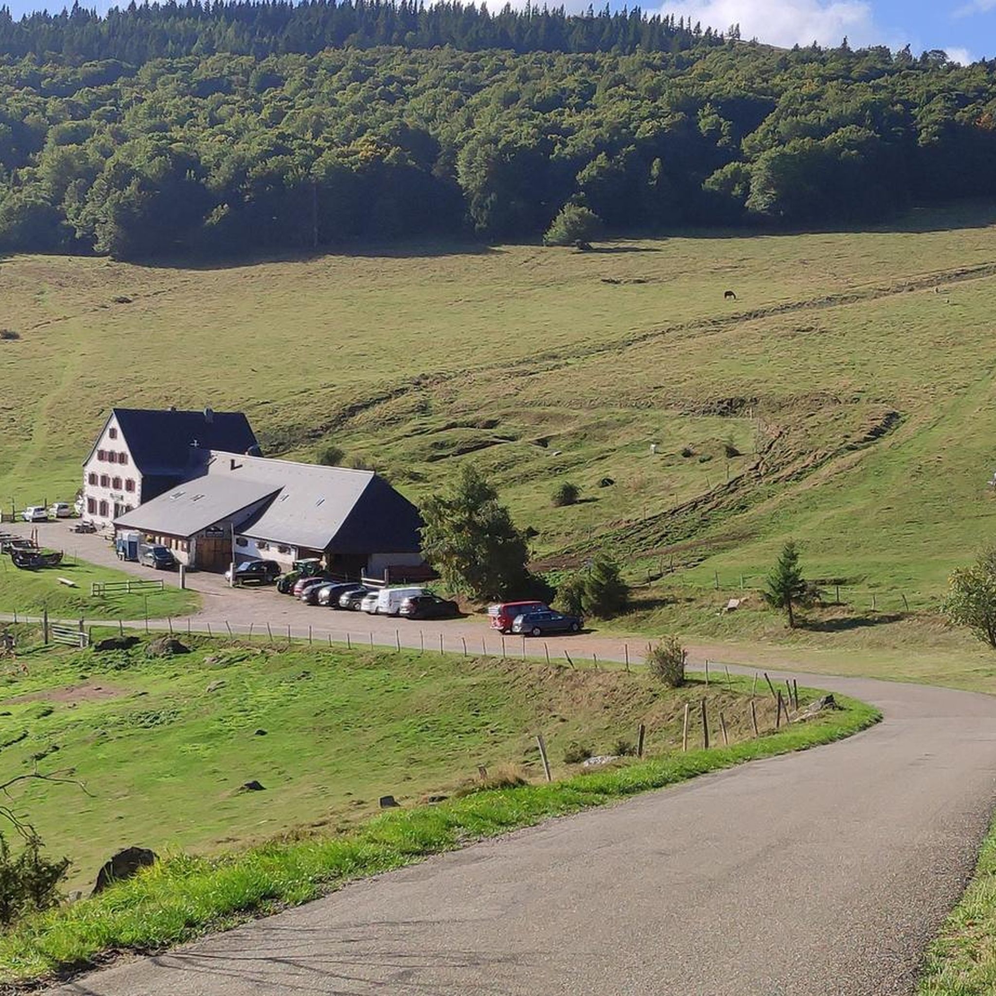
MTB Trails around Luttenbach-Près-Munster
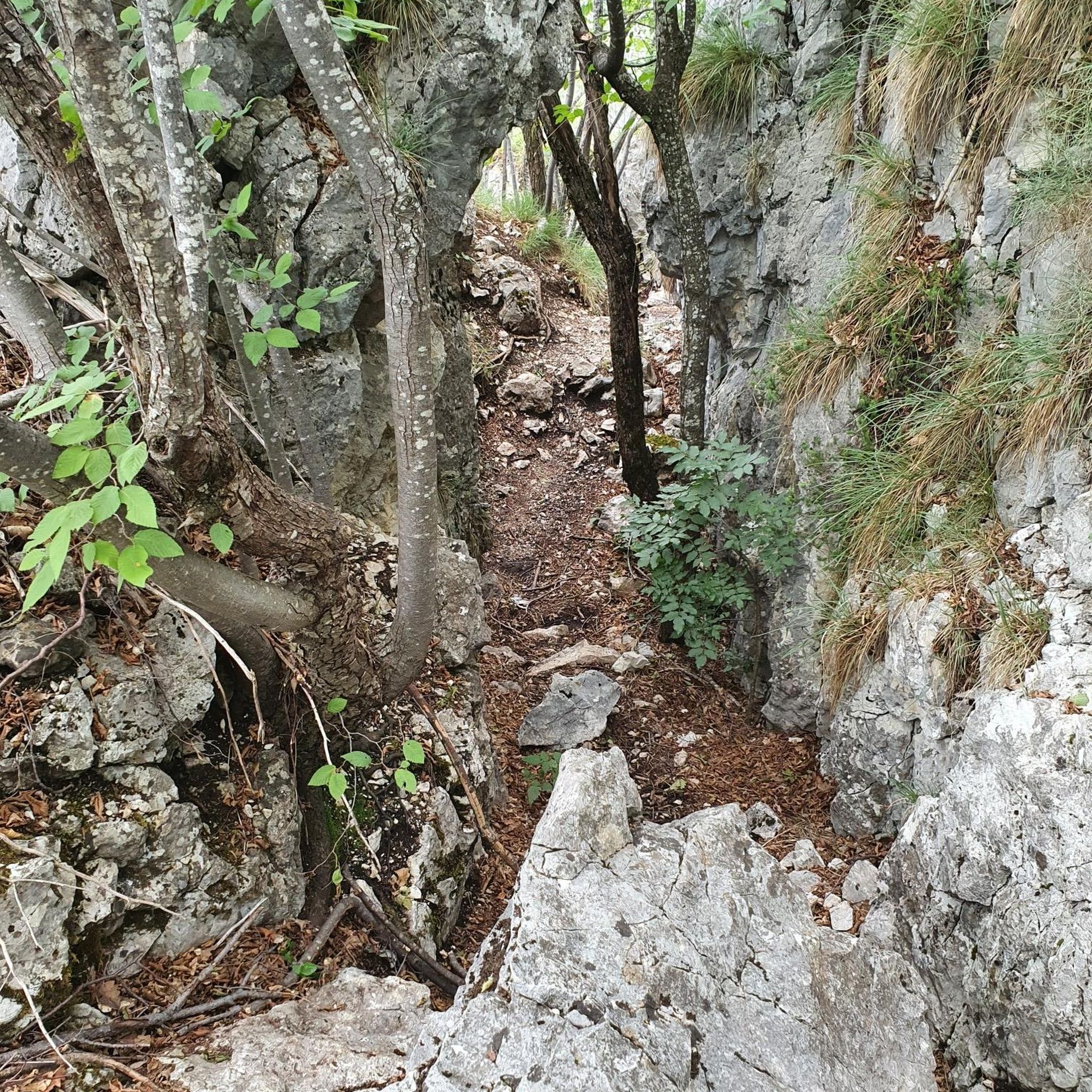
Mountain Hikes around Luttenbach-Près-Munster
Running Trails around Luttenbach-Près-Munster
Other adventures around Luttenbach-Près-Munster

Tips from the Community

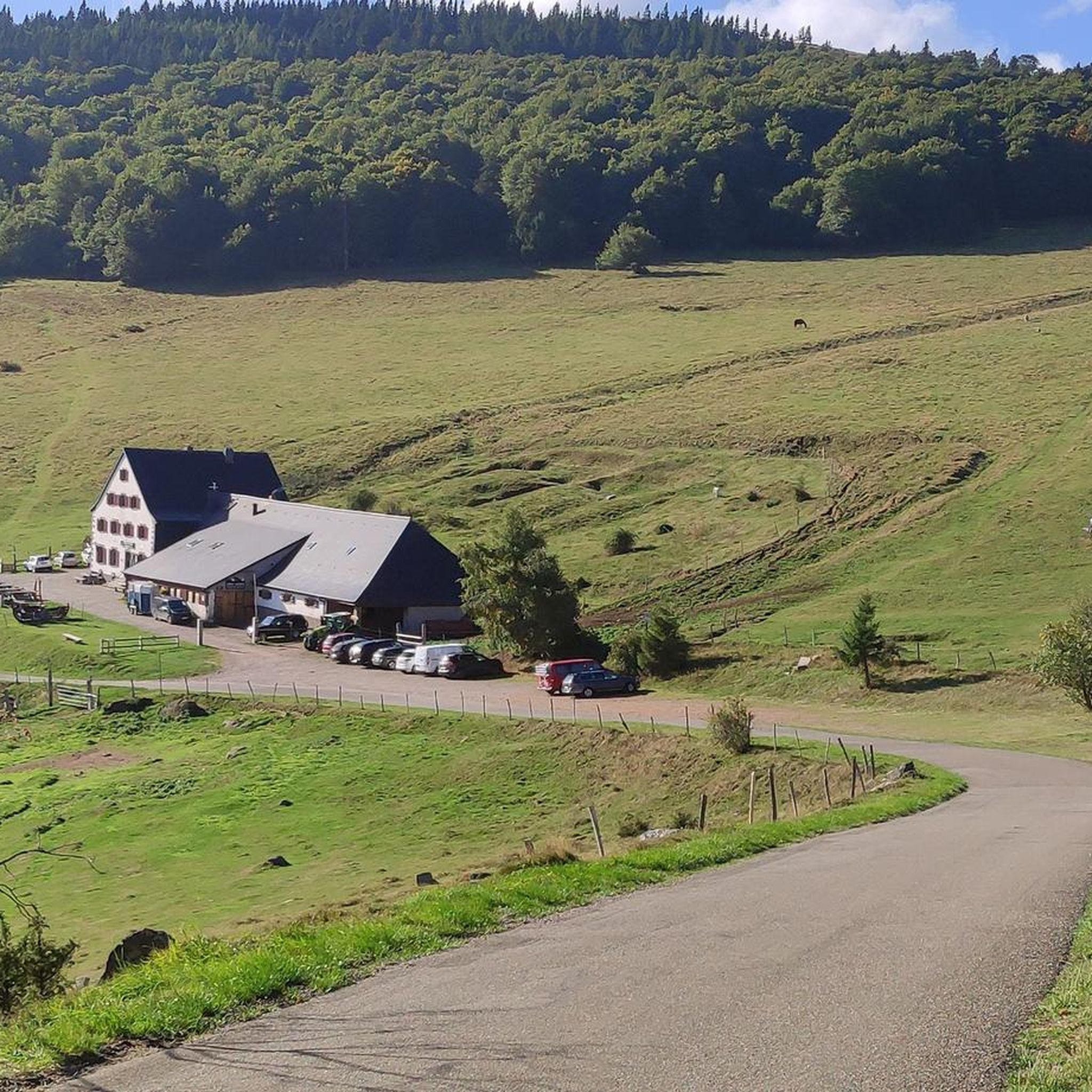
The Ferme-Auberge du Haag is a traditional mountain inn located near the Col du Haag (1233 m), at the foot of the Grand Ballon. For generations, the farms on the higher Vosges ridges have been welcoming hikers, cyclists, and winter sports enthusiasts. The Haag farm is situated in the middle of mountain pastures, with a beautiful view over the southern Vosges and the Grand Ballon.
4
0
When you drive from the Route des Crêtes towards Le Grand Ballon, you pass the Col du Haag (1233 m) almost unnoticed. Yet, this pass marks a special point on the southern flank of the highest mountain in the Vosges. Here, steep roads from the Thurdal leave the wooded slopes and reach the open heights of the massif. From the col, a typical Vosges landscape unfolds with mountain meadows, scattered farms, and sweeping views. The proximity of the Grand Ballon is felt everywhere: the imposing summit towers above the pass and forms the natural goal of the final climbing kilometers. For cyclists, the Col du Haag is mainly known as the point where difficult climbs from the valleys converge before the road continues to rise to the highest point of the Vosges.
4
0
Le Markstein (1184 m) is meer dan alleen een kruispunt op de Route des Crêtes. Het is echter een echte bergpas en het hoogste punt van de oversteek tussen het Lauch- en Thurdal. Het ligt in het hart van het Vogezenmassief, midden een populair wintersportgebied dat nauw verbonden is met de Grand Ballon
4
0
The Route des Crêtes (from the D430 near Rothenbach) is one of the most beautiful ridge roads in Europe. The road was originally built in 1914 by the French army to supply the troops at the front during World War I. Today, it is an iconic panoramic route that connects the main peaks of the Vosges.
1
0
This view is even more beautiful if you have climbed via the Col de Bramont to the col du Rodenbach. So recognizable.
4
0
The Route des Crêtes (the D430 near Rothenbach) is one of the most beautiful ridge routes in Europe. The road was originally built in 1914 by the French army to supply troops at the front in World War I. Today, it is an iconic panoramic route that connects the main peaks of the Vosges.
4
0
The highlight is on the Route des Crêtes and concerns the Rothenbach pass at 1210m. The kopf is still 100 m higher (1316 m). The Rothenbach pass is located on an open mountain saddle in the High Vosges, just below the Rothenbachkopf (1316 m). The pass is around 1210 meters high and forms a natural transition between the ridges of the Rainkopf and the Batteriekopf. The landscape consists of wide, treeless mountain meadows (chaumes) created by centuries of grazing and the harsh climate at this altitude. From the pass, you have a panoramic view of the Mittlach valley, the Hohneck, and the long ridges of the Ballons massif. Very beautiful pass with those bare expanses.
4
0
The Col du Rothenbach is a 5-kilometer climb. This is a category 2 climb. The average gradient of this climb is 6.6% with a maximum of 9%. The Col du Rothenbach rises from 903 meters at the start to 1,234 meters at the top, with a total of 331 meters of elevation gain.
5
0
Frequently Asked Questions
How many gravel bike trails are available around Luttenbach-Près-Munster?
There are over 45 gravel bike routes in the Luttenbach-Près-Munster area, offering a wide range of experiences. Most of these, around 40, are considered difficult, with 6 moderate options and 1 easy trail for less experienced riders.
What kind of terrain can I expect on gravel bike trails in Luttenbach-Près-Munster?
The terrain is quite varied, typical of the Munster Valley and Vosges Massif. You'll encounter a mix of paved surfaces, classic gravel paths, dirt tracks, and forest trails. Routes often combine flat stretches along rivers like the Fecht with significant climbs in the low mountain ranges, providing a dynamic and engaging ride.
What natural features and scenic viewpoints can I discover on gravel bike rides?
The region is rich in natural beauty. You can ride through picturesque vineyard landscapes, extensive forests, and along the Fecht river. The Vosges Massif offers stunning views from peaks like Hohneck and Rothenbachkopf, and you can also explore several glacial lakes such as Lac Blanc, Lac du Forlet, and Green Lake.
Are there options for less experienced gravel bikers in the area?
While many routes are challenging, there are options for less experienced riders. The region offers a few moderate trails, and some routes combine paved sections with easier gravel paths, allowing you to enjoy the scenery without tackling extreme climbs. Look for routes described as 'moderate' or 'easy' to start.
What are some challenging gravel routes with significant elevation gain?
For a significant challenge, consider the Munster – Munster Centre Ville loop from Hinter-Luttenbach, which features over 1300 meters of elevation gain. Another demanding option is the Col de la Schlucht – La route des crêtes loop from Gunsbach, traversing parts of the Vosges Massif with over 1200 meters of ascent.
Are there any historical sites or charming villages to explore along the routes?
Yes, the region blends natural beauty with cultural heritage. You can pass through charming villages like Turckheim on the Alsace Wine Route or Soultzbach-les-Bains. Historical elements include various castles, such as the Ruins of Hohrupf Castle and Hohnack Castle, which can be found along some routes.
Are there any circular gravel bike routes available?
Many of the gravel routes in the Luttenbach-Près-Munster area are designed as loops, allowing you to start and finish at the same point. Examples include the popular Munster – Munster Centre Ville loop from Hinter-Luttenbach and the Munster Protestant Church – Munster loop from Munster.
What do other gravel bikers say about the trails in Luttenbach-Près-Munster?
The gravel biking trails in Luttenbach-Près-Munster are highly regarded by the komoot community, with an average rating of 4.3 stars from over 60 reviews. Riders often praise the diverse landscapes, the mix of challenging climbs and scenic descents, and the varied terrain that keeps rides interesting.
What is the best time of year for gravel biking in the Munster Valley?
The Munster Valley offers good gravel biking conditions through much of the year. Spring and autumn provide pleasant temperatures and beautiful scenery, with vineyards changing colors. Summer is also popular, though some higher elevation routes might be warmer. Winter can bring snow to the Vosges Massif, making some trails impassable or requiring different equipment.
Are there any multi-day gravel biking adventures possible from this region?
Yes, for those seeking a longer adventure, the 'Traversée du Massif Vosgien' is a multi-day route that is approximately 85% unpaved and suitable for gravel bikes. This challenging journey through the Vosges Mountains can be accessed from the wider region, offering an immersive experience.
Can I find dog-friendly gravel biking routes in the Munster Valley?
Many forest and gravel paths in the Munster Valley are suitable for cycling with dogs, provided they are well-behaved and on a leash where necessary, especially in nature reserves or near livestock. Always check local regulations and ensure your dog is fit for the distance and terrain.
Are there family-friendly gravel biking options near Luttenbach-Près-Munster?
While many routes are difficult, some flatter sections along the Fecht river or through vineyard landscapes can be more suitable for families. Look for routes described as 'easy' or 'moderate' and consider shorter loops to ensure an enjoyable experience for all family members.
Where can I park my car when starting a gravel bike ride?
Parking is generally available in and around the villages like Luttenbach-Près-Munster, Munster, and Gunsbach, which serve as common starting points for many routes. Specific parking areas are often indicated near trailheads or village centers.
Most popular routes around Luttenbach-Près-Munster
Most popular attractions around Luttenbach-Près-Munster

Get inspired with the komoot mobile app


Explore more
Browse the best Gravel rides in other regions.
