The best gravel rides around Metzeral
4.3
(99)
790
riders
59
rides
Gravel biking around Metzeral is characterized by its mountainous terrain within the Vosges region, featuring significant elevation changes and diverse landscapes. The area offers a mix of dense forests, open mountain passes, and scenic valleys, providing varied surfaces for gravel bike trails. Riders can expect routes that traverse both paved and unpaved sections, including forest roads and gravel paths. The region's geography presents opportunities for challenging climbs and rewarding descents.
Best gravel bike trails around Metzeral
- The most popular gravel…
Last updated: October 6, 2026
4.6
(5)
22
riders
25.3km
02:10
690m
690m
Hard gravel ride. Very good fitness required. Mostly paved surfaces. Suitable for all skill levels.
4.9
(7)
108
riders
87.2km
06:13
2,040m
2,040m
Hard gravel ride. Very good fitness required. Mostly paved surfaces. Suitable for all skill levels.

4.5
(11)
56
riders
51.5km
03:22
960m
960m
Hard gravel ride. Very good fitness required. Mostly paved surfaces. Suitable for all skill levels.
4.3
(4)
36
riders
57.9km
04:56
1,490m
1,490m
Hard gravel ride. Very good fitness required. Mostly paved surfaces. Suitable for all skill levels.
4.3
(12)
105
riders
46.3km
02:48
480m
480m
Hard gravel ride. Very good fitness required. Mostly paved surfaces. Suitable for all skill levels.
Get access to more routes and recommendations from other explorers.
Already have an account?
Our route recommendations are based on thousands of hikes, rides, and runs completed by other people on komoot.
Start today with a free account
Your next adventure awaits.
Popular around Metzeral

Sentier de l'Europe (GR 5) – Montbéliard to Abreschviller
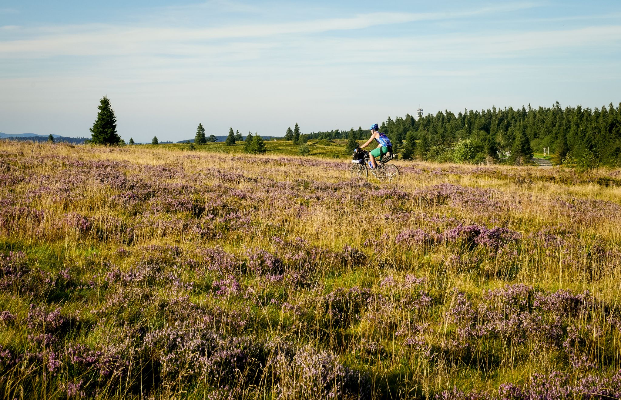
Traversée du Massif Vosgien — Alsace bikepacking

The Grand Est without a car – cycling from station to station

From the Vosges to the Jura mountains – Hexatrek, le Grand Est
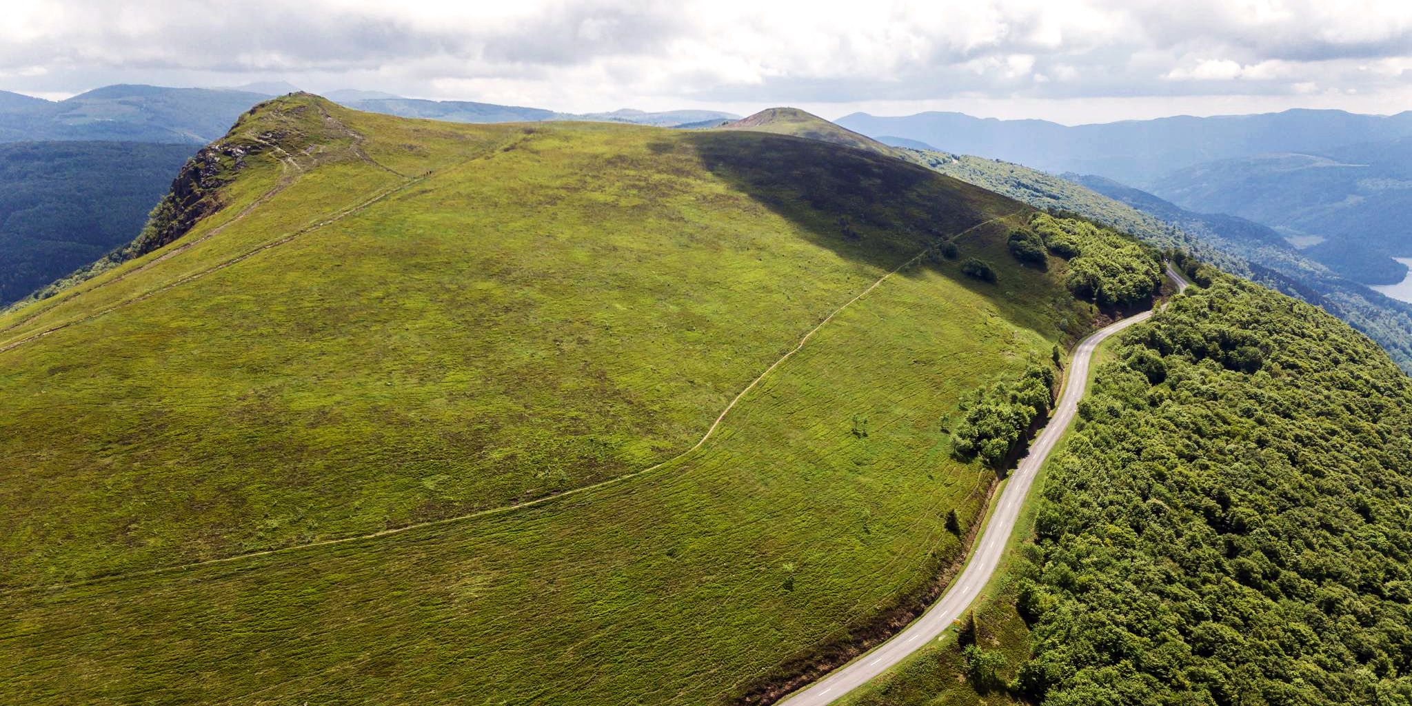
Beautiful passes In the Vosges Mountains
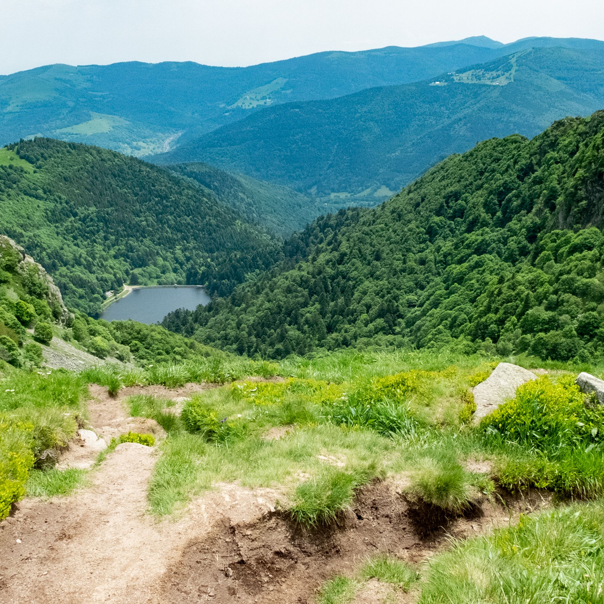
Hiking around Metzeral
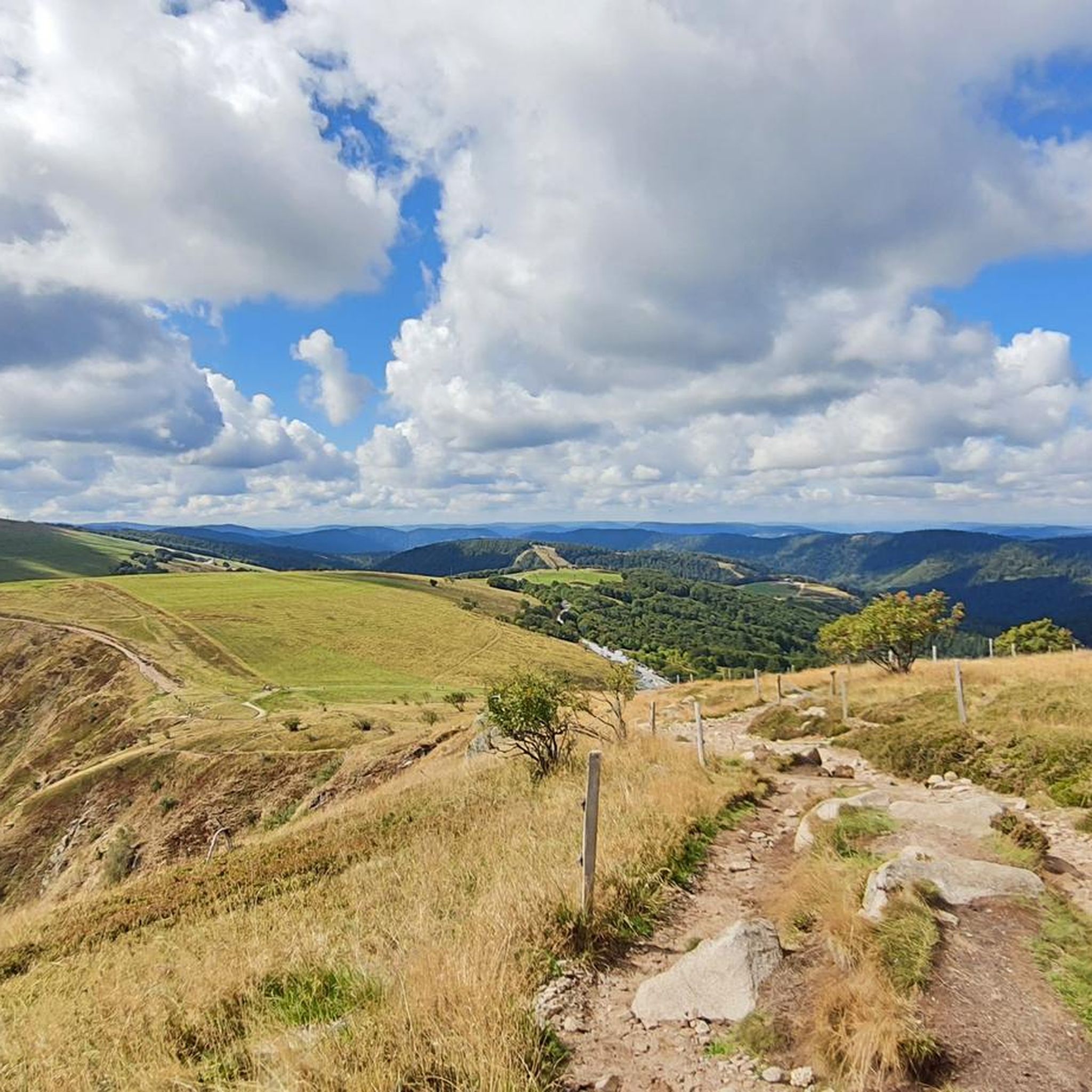
Cycling around Metzeral
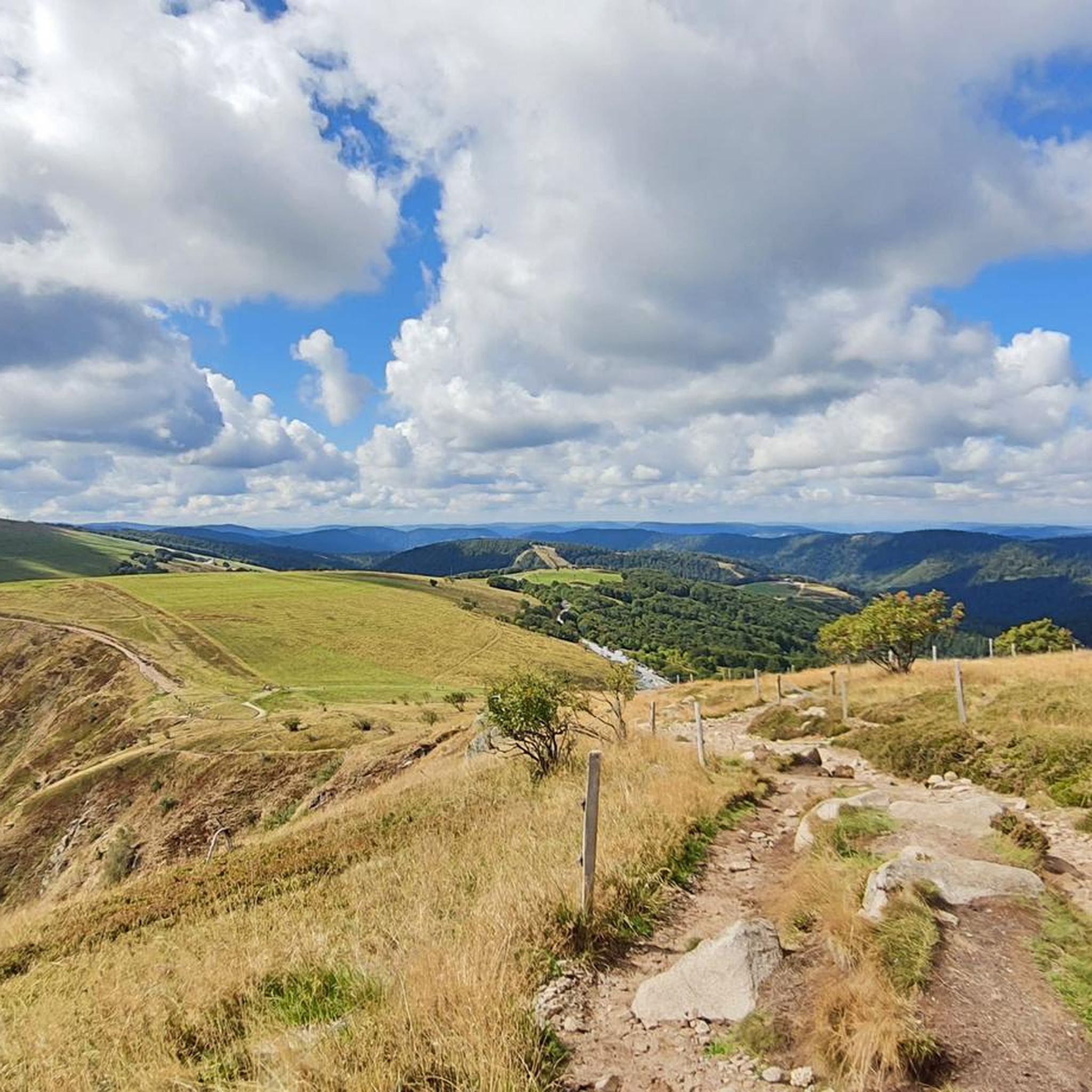
Road Cycling Routes around Metzeral
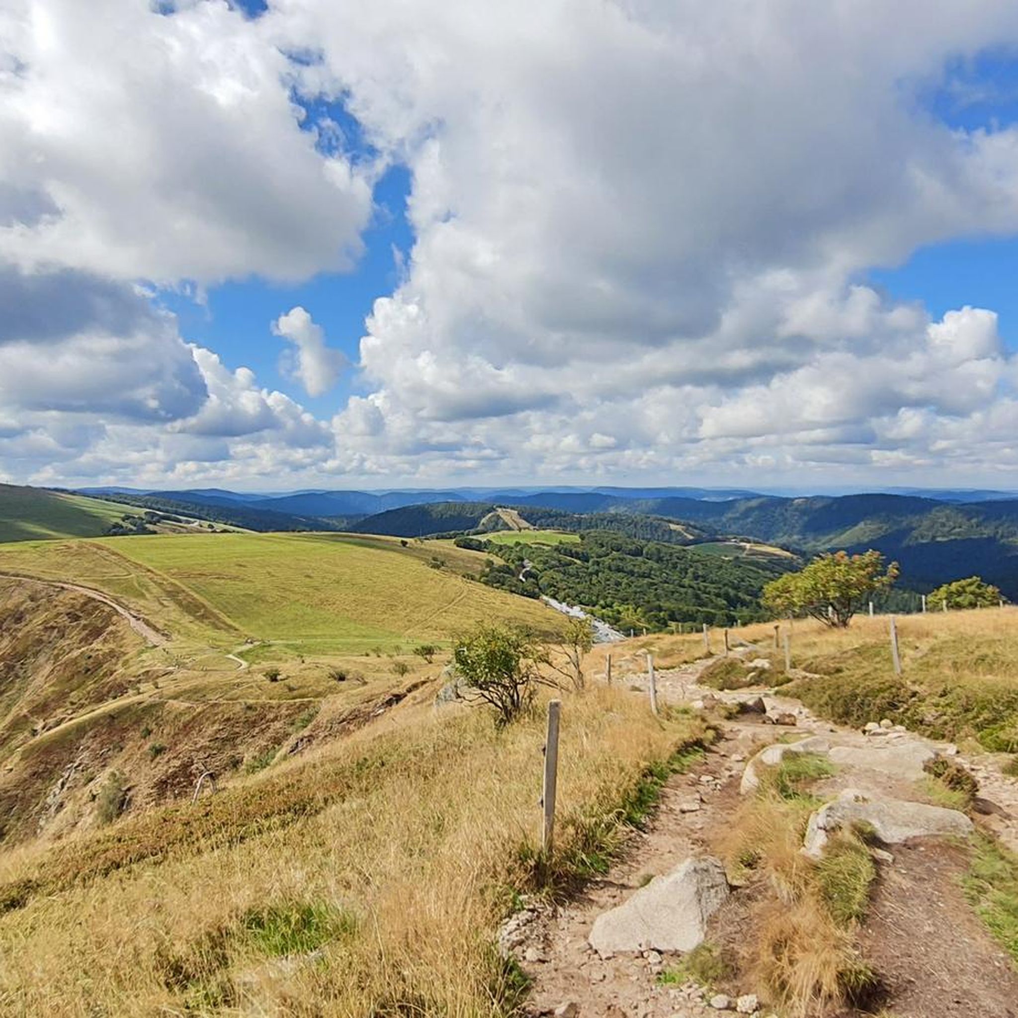
MTB Trails around Metzeral
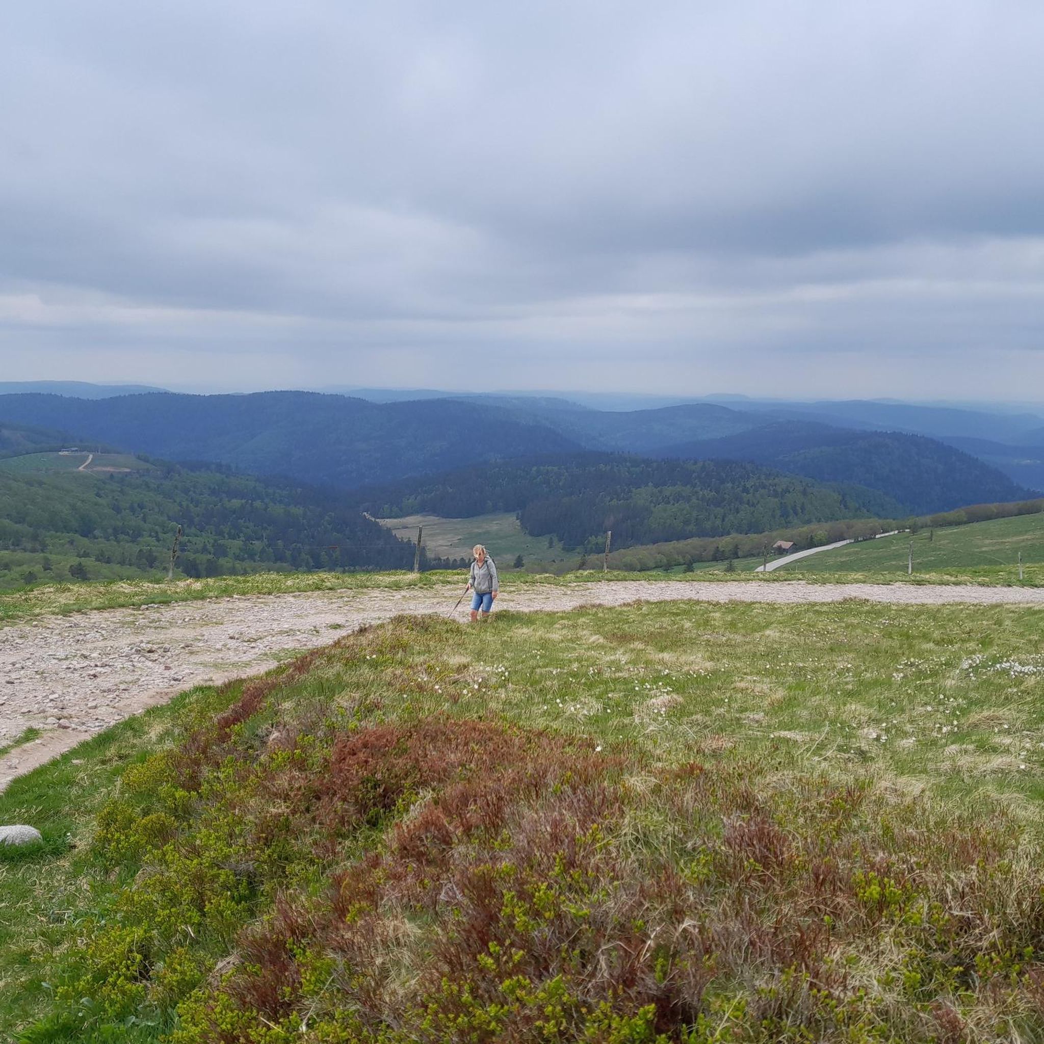
Running Trails around Metzeral
Other adventures around Metzeral


Tips from the Community

When you drive from the Route des Crêtes towards Le Grand Ballon, you pass the Col du Haag (1233 m) almost unnoticed. Yet, this pass marks a special point on the southern flank of the highest mountain in the Vosges. Here, steep roads from the Thurdal leave the wooded slopes and reach the open heights of the massif. From the col, a typical Vosges landscape unfolds with mountain meadows, scattered farms, and sweeping views. The proximity of the Grand Ballon is felt everywhere: the imposing summit towers above the pass and forms the natural goal of the final climbing kilometers. For cyclists, the Col du Haag is mainly known as the point where difficult climbs from the valleys converge before the road continues to rise to the highest point of the Vosges.
5
0
Le Markstein (1184 m) is meer dan alleen een kruispunt op de Route des Crêtes. Het is echter een echte bergpas en het hoogste punt van de oversteek tussen het Lauch- en Thurdal. Het ligt in het hart van het Vogezenmassief, midden een populair wintersportgebied dat nauw verbonden is met de Grand Ballon
5
0
There are no restaurants or cafes at the summit of the Col de Bramont itself. However, the pass serves as a strategic junction. From the summit, you can directly connect to the famous Route des Crêtes (the D431), which links the main mountain peaks of the Vosges. This allows you to easily cycle or hike to larger attractions nearby, such as the Col de la Schlucht, the Hohneck, or the Grand Ballon. The climb is enjoyable due to its 12 hairpin bends on the southern flank (Kruth).
6
0
Stuwdam Lac de Kruth‑Wildenstein View over the quiet mountain lake on one side, and on the other side the steep, wooded rock face of the Thur valley.
7
0
Het Meer van Kruth-Wildenstein (Lac de Kruth-Wildenstein) is een prachtig, kunstmatig stuwmeer in de Elzas (departement Haut-Rhin), gelegen op een hoogte van 545 meter aan de voet van de Col d'Oderen. Met een oppervlakte van 81 hectare is dit diepblauwe meer omringd door beboste berghellingen een van de absolute parels van de Vogezen en een ideaal rust- of startpunt voor wielrenners.
5
0

Brilliant ascent to the pass relatively quiet with a pleasant gradient
4
0

Cycle path runs up and down mostly in the shade next to the villages. Good access for the ascents of Col du Firstplan and Col du Petit Ballon.
1
0

The Sèchemer pond is a small pond that you will find 40 minutes walk from the Lac des Corbeaux. It is possible to get there on foot or by mountain bike. Peaceful and quiet, you can stop there for a picnic and to admire the many dragonflies.
1
0
Frequently Asked Questions
What is the general difficulty level of gravel biking trails around Metzeral?
Gravel biking around Metzeral is characterized by its mountainous terrain within the Vosges region, featuring significant elevation changes. While there are a few easier options, the majority of the 89 available routes are considered difficult, with 74 routes falling into this category. Riders should be prepared for challenging climbs and rewarding descents.
Where can I find parking for gravel biking trails in Metzeral?
Many popular gravel biking routes in Metzeral, such as the Grand Ballon – Markstein loop and the Col de Bramont – Lac de Blanchemer loop, start from locations like Belle Hutte. It is advisable to check specific route details on komoot for designated parking areas at these common trailheads.
What are the typical lengths and durations of gravel bike routes near Metzeral?
The gravel bike routes near Metzeral vary significantly in length and duration. You can find shorter, more intense loops like the Col de Bramont – Lac de Blanchemer loop, which is about 15.7 miles (25.3 km) and takes around 2 hours 15 minutes. Longer, more extensive tours, such as the Grand Ballon – Markstein loop, can span 54.2 miles (87.2 km) and require over 6 hours to complete.
Are there gravel bike trails suitable for beginners in Metzeral?
While the Metzeral region is known for its challenging mountainous terrain, there are a limited number of routes suitable for beginners. Out of 89 total tours, only 3 are classified as easy. Most routes present significant challenges, so beginners should carefully review route profiles for elevation and technical difficulty before setting out.
What are some common starting points for gravel bike tours in Metzeral?
Many gravel bike tours in the Metzeral area frequently start from locations such as Belle Hutte and Le Régit. These points serve as convenient access to various loops and trails, including routes like the Lake Retournemer – Col de la Schlucht loop from Belle Hutte, and the Crows' Lake – The Grand Ventron loop from Le Régit.
What kind of viewpoints can I expect along gravel bike routes in Metzeral?
Gravel bike routes in Metzeral offer extensive mountain views, especially from higher elevations. You can expect panoramic vistas of the Vosges mountains, scenic lake views, and dense forest landscapes. Notable peaks in the area include Grand Ballon and Hohneck, which often feature in longer tours.
Are there any circular gravel bike routes around Metzeral?
Yes, many of the gravel bike routes around Metzeral are designed as loops, allowing you to start and finish at the same point. Examples include the Lake Retournemer – Col de la Schlucht loop and the Col du Bramont (Southwest) – Col de Bramont loop, providing convenient options for exploration.
What do other gravel bikers enjoy most about gravel biking in Metzeral?
The area is highly rated by the komoot community, with an average score of 4.4 stars from over 100 reviews. Reviewers often praise the diverse landscapes, including dense forests, open mountain passes, and scenic valleys, as well as the challenging nature of the routes and the rewarding views from the high mountain passes.
What are some interesting landmarks or natural attractions to see along the gravel bike trails?
Along the gravel bike trails, you can encounter various natural attractions and points of interest. The region is home to several significant mountain peaks like Grand Ballon and Petit Ballon. You might also pass by charming huts and farm inns, such as the Ferme Auberge du Frankenthal, offering opportunities for a break amidst the scenic beauty.
What is the best time of year for gravel biking in Metzeral?
The best time for gravel biking in Metzeral is typically from spring through autumn, when the weather is milder and trails are generally clear of snow. During these seasons, you can fully enjoy the diverse landscapes and mountain passes. Winter conditions can be challenging due to snow and ice, especially at higher elevations, making many routes less accessible or requiring specialized equipment.
Are there any advanced gravel routes in Metzeral for experienced riders?
Absolutely. Metzeral is particularly well-suited for experienced gravel bikers, with 74 out of 89 routes classified as difficult. These advanced routes often feature significant elevation gains, technical descents, and long distances, providing a substantial challenge. The Grand Ballon – Markstein loop, for instance, involves over 2000 meters of elevation gain.
Most popular routes around Metzeral
Most popular attractions around Metzeral

Get inspired with the komoot mobile app


Explore more
Browse the best Gravel rides in other regions.
