The best gravel rides around Itterswiller
4.4
(43)
344
riders
46
rides
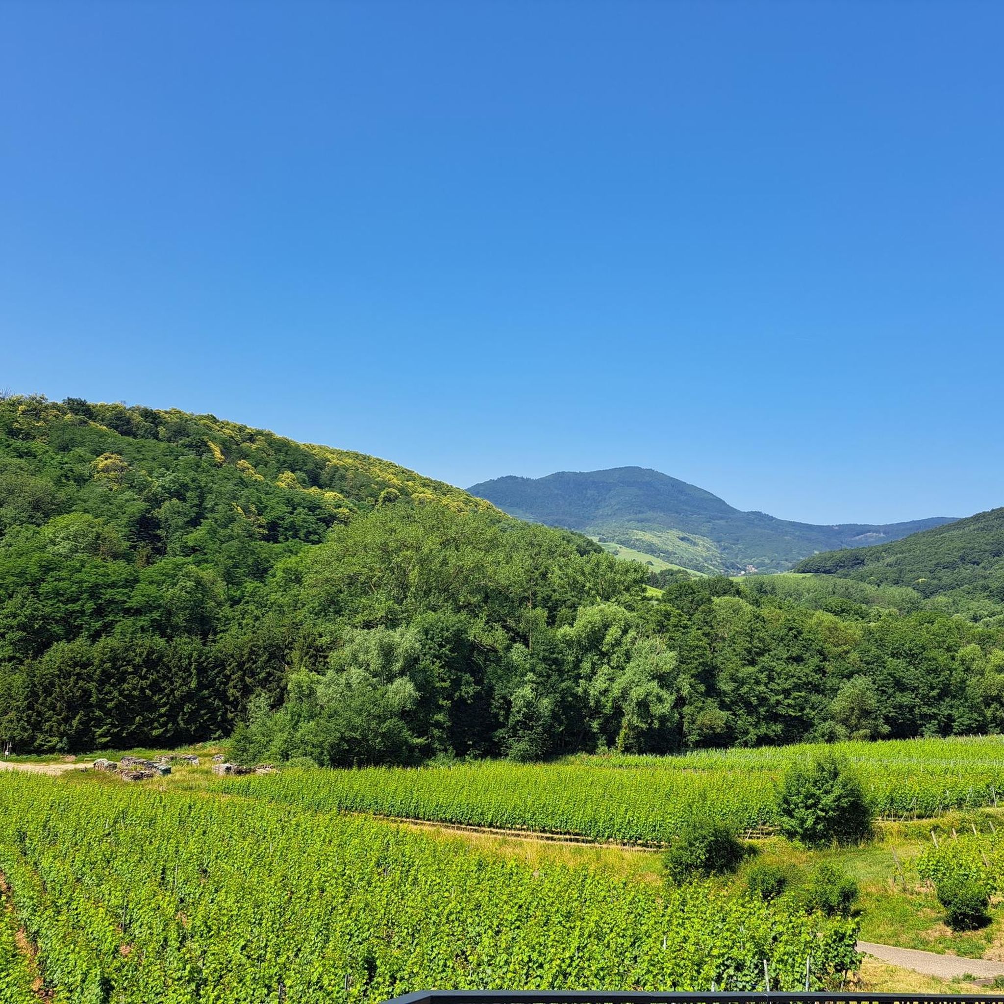
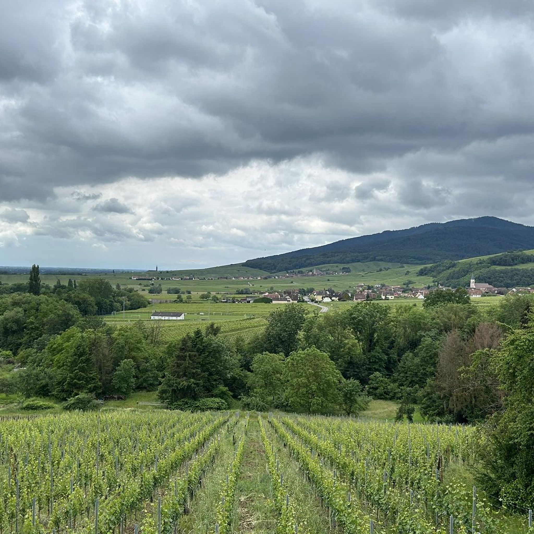
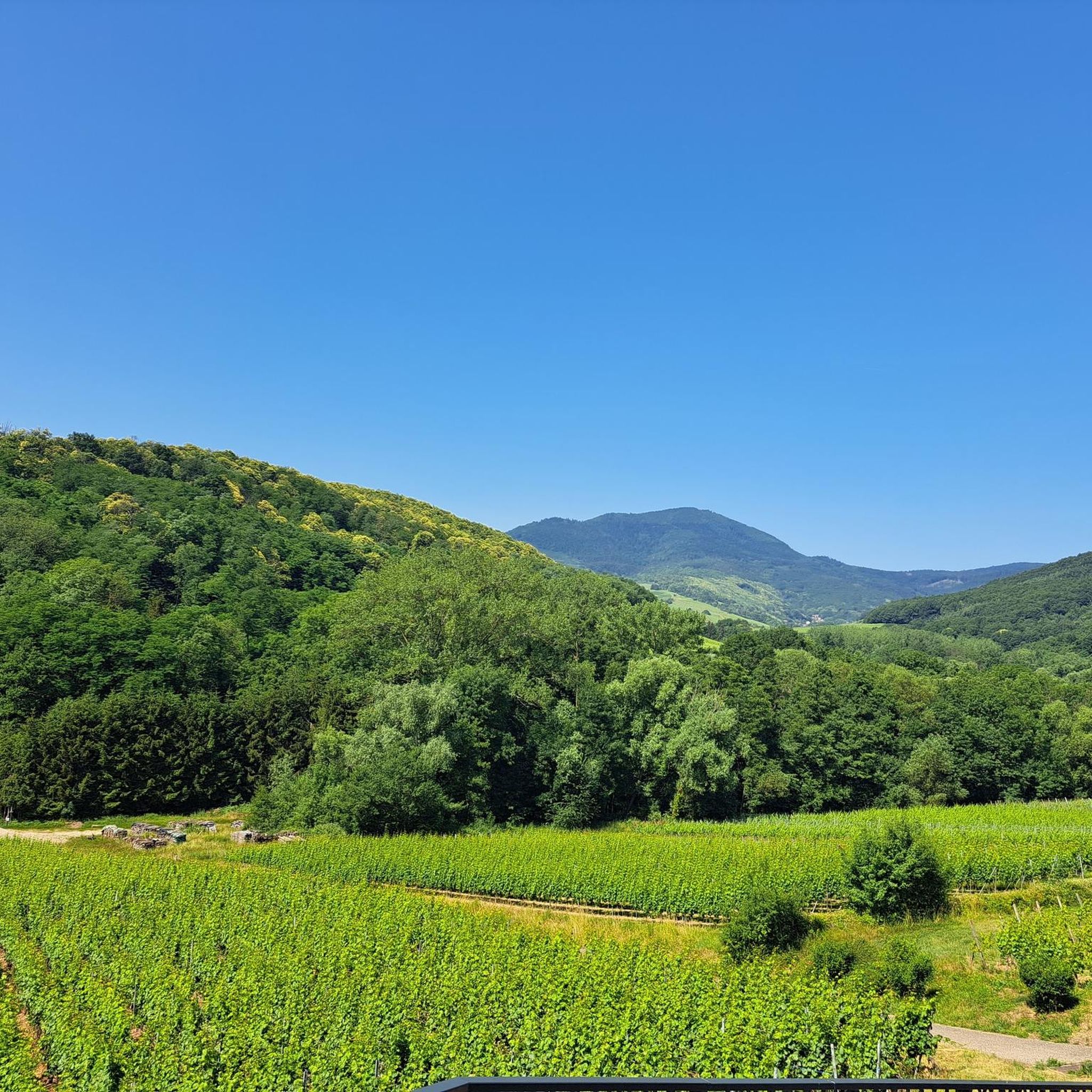
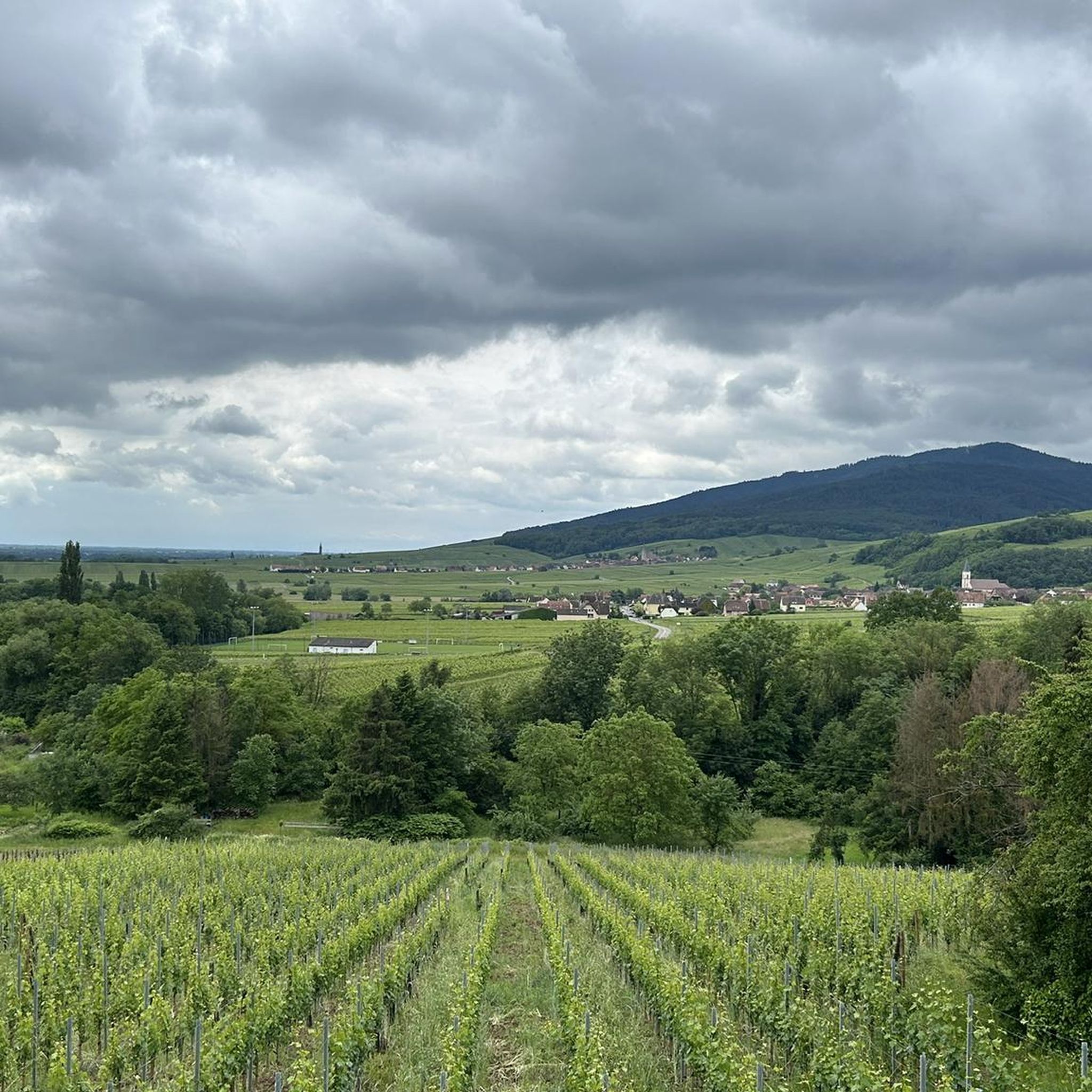
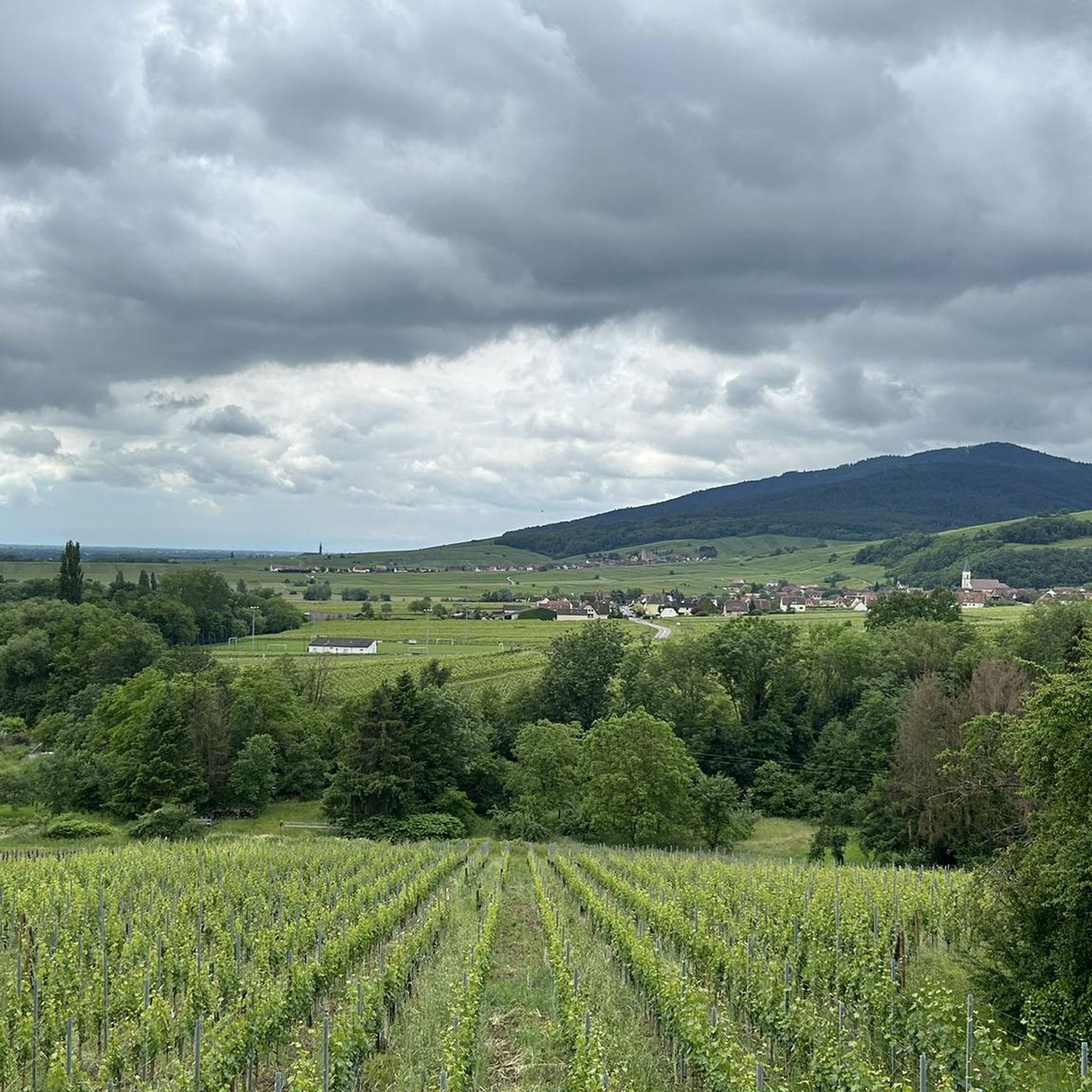
Gravel biking around Itterswiller offers routes through the rolling vineyards of the Alsace Wine Route and into the foothills of the Vosges Mountains. The region is characterized by extensive vineyards, providing panoramic views of the Alsace plain. Terrain varies from vineyard paths to forest trails and small roads, offering diverse surfaces suitable for gravel bikes. The hilly relief provides varied routes with climbs and descents.
Best gravel bike trails around Itterswiller
- The most popular gravel bike trail is Mount Sainte-Odile…
Last updated: October 6, 2026
3.0
(1)
24
riders
73.7km
06:07
1,800m
1,800m
Hard gravel ride. Very good fitness required. You may need to push your bike for some segments of this route.
4.5
(2)
44
riders
Hard gravel ride. Very good fitness required. Mostly paved surfaces. Suitable for all skill levels.

5.0
(2)
44
riders
Hard gravel ride. Very good fitness required. Mostly paved surfaces. Suitable for all skill levels.
5.0
(3)
12
riders
45.9km
04:06
1,140m
1,140m
Hard gravel ride. Very good fitness required. Mostly paved surfaces. Suitable for all skill levels.
5.0
(1)
14
riders
Hard gravel ride. Very good fitness required. Mostly paved surfaces. Suitable for all skill levels.
Get access to more routes and recommendations from other explorers.
Already have an account?
Our route recommendations are based on thousands of hikes, rides, and runs completed by other people on komoot.
Start today with a free account
Your next adventure awaits.
Tips from the Community

Champ du Feu, at 1099 meters, is the highest mountain in the Bas-Rhin department of the Vosges in Alsace. It lies between the towns of Belmont and Le Hohwald and consists of an extensive high plateau with forests, meadows, and moorlands. The area is a popular nature and recreational area. In summer, it is mainly used for hiking, mountain biking, and nature observation. In winter, there is a small ski area with cross-country trails and simple slopes for winter sports. The brook La Serva originates from Champ du Feu, later forming the Cascade de la Serva. In clear weather, the summit offers wide views over the Vosges, the Rhine plain, and as far as the Black Forest. The area is particularly known for its tranquil nature, high moors, sunrises and starry skies, as well as well-marked hiking trails.
0
0
The Champ du Feu, at 1099 meters, is the highest mountain in the Bas-Rhin department in the Vosges in Alsace. It is located between the towns of Belmont and Le Hohwald and consists of a vast plateau with forests, meadows, and moorlands. The area is a popular nature and recreational area. In summer, it is mainly used for hiking, mountain biking, and nature observation. In winter, there is a small ski area with cross-country trails and simple slopes for winter sports. From the Champ du Feu, the La Serva stream originates, which later forms the Cascade de la Serva. In clear weather, the summit offers wide views over the Vosges, the Rhine plain, and even the Black Forest. The area is particularly known for its quiet nature, high moors, sunrises and starry skies, as well as well-marked hiking trails.
0
0

Nice small wine village in Alsace.
0
0

abandoned road with beautiful view.
0
0

Beautiful little village on the way to Santiago de Compostela coming from Germany.
0
0


During the week and outside of the holidays, the crowds are bearable
5
0
Frequently Asked Questions
What kind of terrain can I expect on gravel bike trails near Itterswiller?
The terrain around Itterswiller is quite varied, offering a mix of experiences. You'll find paths winding through extensive vineyards, providing rolling hills and panoramic views of the Alsace plain. As you venture closer to the Vosges Mountains, the routes become more rugged with challenging ascents. Many trails combine paved sections with gravel paths through vineyards and forests.
How many gravel bike trails are available around Itterswiller?
There are over 60 gravel bike trails around Itterswiller, offering a wide range of options for different skill levels and preferences. This includes 3 easy routes, 18 moderate routes, and 39 difficult routes for those seeking a challenge.
Are there any family-friendly gravel biking options in Itterswiller?
While many routes in Itterswiller feature challenging ascents, there are easier options available. Look for routes with less elevation gain that stick to the vineyard paths for a more relaxed experience suitable for families. These often provide a gentle introduction to the region's beautiful landscapes.
What are some notable landmarks or viewpoints I can discover along the gravel bike routes?
Many gravel routes in Itterswiller lead to historical sites and offer stunning views. You can explore sites like Heidenmauer (Mur Païen) or visit impressive castles such as Bernstein Castle and Andlau Castle. For panoramic vistas, consider routes that pass by the Jadelot Kiosk Viewpoint or the Elsberg Hut with panoramic views.
What is the best time of year for gravel biking in Itterswiller?
The spring and autumn months are generally ideal for gravel biking in Itterswiller. During these seasons, the weather is typically mild, and the vineyards offer beautiful scenery, either with fresh green growth or vibrant autumn colors. Summer can be pleasant, but be prepared for warmer temperatures, especially on exposed vineyard paths. Winter riding is possible, but conditions can be colder and some paths might be muddy or icy.
Are there any circular gravel bike routes around Itterswiller?
Yes, many of the gravel bike routes around Itterswiller are designed as loops, allowing you to start and finish in the same location. An example is the challenging Obernai – View of Andlau loop from Dambach-la-Ville, which takes you through varied landscapes and past charming villages.
Where can I find parking for gravel biking in Itterswiller?
Itterswiller and the surrounding villages along the Alsace Wine Route typically offer public parking areas. It's advisable to check local signage for specific parking regulations and availability, especially in smaller villages. Many routes start from or pass through these villages, making them convenient starting points.
What do other gravel bikers enjoy most about the trails in Itterswiller?
The gravel biking experience in Itterswiller is highly rated by the komoot community, with an average score of 4.4 stars from over 30 reviews. Riders often praise the stunning panoramic views of the Alsace plain and the Vosges mountains, the charming traditional Alsatian villages, and the diverse terrain that ranges from rolling vineyards to more challenging mountain foothills.
Can I access the gravel bike trails in Itterswiller using public transport?
While Itterswiller is a small village, the Alsace region has a network of public transport options, including trains and buses, that connect larger towns. You might be able to reach a nearby town by public transport and then cycle to Itterswiller or a starting point for a trail. It's recommended to check local transport schedules and bike carriage policies in advance.
Are there places to eat or stay near the gravel bike trails in Itterswiller?
Itterswiller and the neighboring Alsatian villages are known for their hospitality. You'll find numerous traditional restaurants and guesthouses. For example, the Auberge du Moenkalb is a place where you can find refreshments. Many villages along the Alsace Wine Route offer opportunities to taste local wines and enjoy regional cuisine.
What is the typical length and elevation gain for gravel bike routes in this region?
The routes vary significantly in length and elevation. For instance, a challenging route like the Kreuzweg Pass – Champ du Feu loop from Epfig covers about 45.8 miles (73.66 km) with over 1100 meters of elevation gain, while other routes might be shorter with less climbing, especially those staying within the vineyard areas.
Are there any particularly challenging gravel bike routes for experienced riders?
Yes, experienced riders will find plenty of challenging options. Routes that venture into the foothills of the Vosges Mountains, such as the Mount Sainte-Odile – Bernstein Castle loop from Nothalten, offer significant elevation gains and technical sections. These routes often connect historical sites with more rugged terrain, providing a demanding yet rewarding experience.
Most popular routes around Itterswiller
Most popular attractions around Itterswiller

Get inspired with the komoot mobile app


Explore more
Browse the best Gravel rides in other regions.
