The best gravel rides around Altweiler
4.0
(1)
46
riders
24
rides
Gravel biking around Altweiler offers a network of routes through a landscape characterized by rolling hills, dense woodlands, and open countryside. The region features varied terrain, including forest paths and rural tracks, suitable for gravel cycling. Elevations are generally moderate, providing a mix of gradual climbs and descents. This area provides opportunities for exploring natural environments on two wheels.
Best gravel bike trails around Altweiler
- The most popular gravel bike trail is View of the Bisten – Parc de la…
Last updated: October 20, 2026
19
riders
Moderate gravel ride. Good fitness required. Mostly paved surfaces.
5
riders
57.9km
03:47
670m
670m
Hard gravel ride. Very good fitness required. Mostly paved surfaces.

5
riders
59.3km
03:40
530m
530m
Hard gravel ride. Very good fitness required. You may need to push your bike for some segments of this route.
6
riders
34.1km
02:28
370m
370m
Hard gravel ride. Good fitness required. You may need to push your bike for some segments of this route.
4
riders
39.7km
02:49
440m
440m
Hard gravel ride. Good fitness required. You may need to push your bike for some segments of this route.
Get access to more routes and recommendations from other explorers.
Already have an account?
Our route recommendations are based on thousands of hikes, rides, and runs completed by other people on komoot.
Start today with a free account
Your next adventure awaits.
Tips from the Community

The circuit is easy. I did it with an e-MTB.
0
0


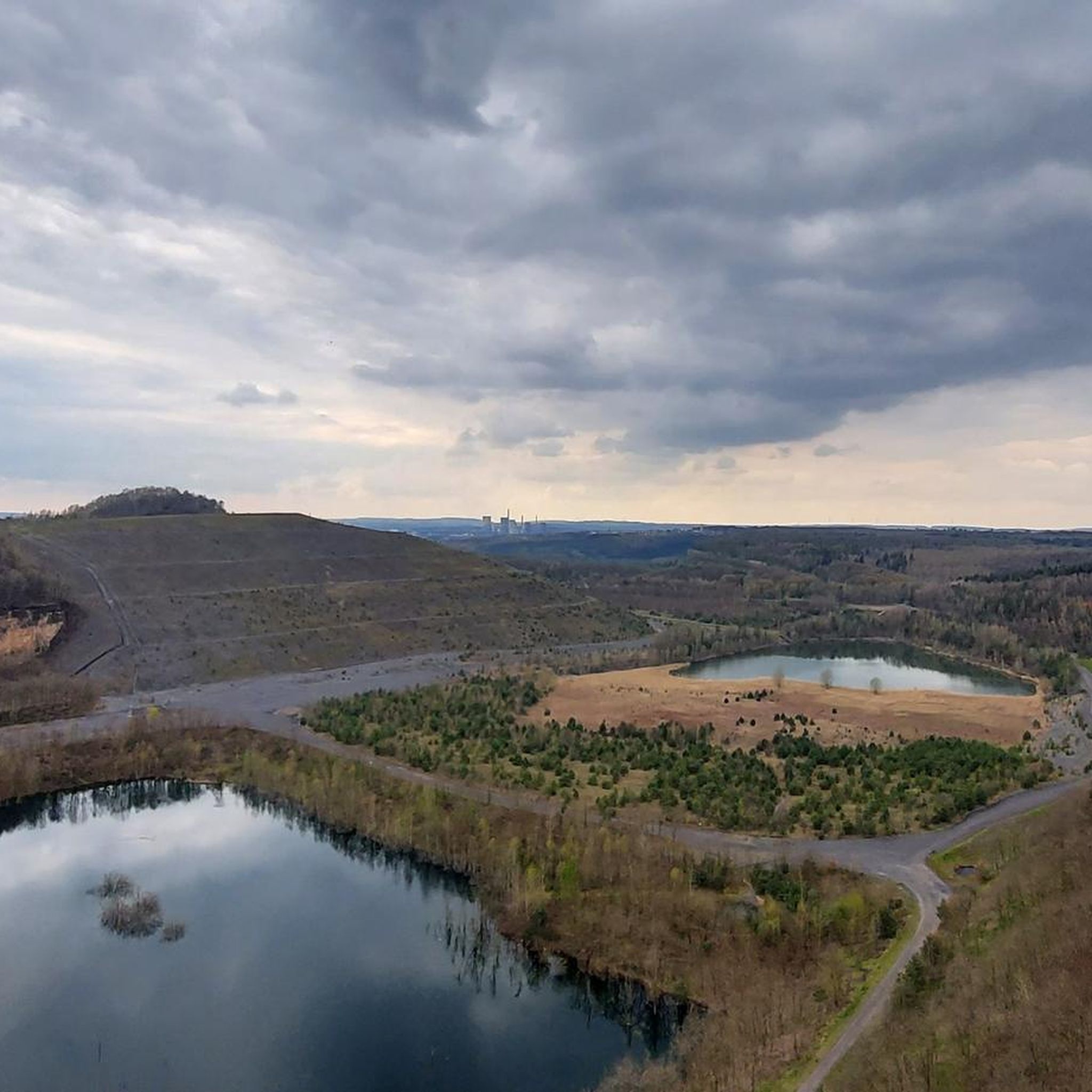
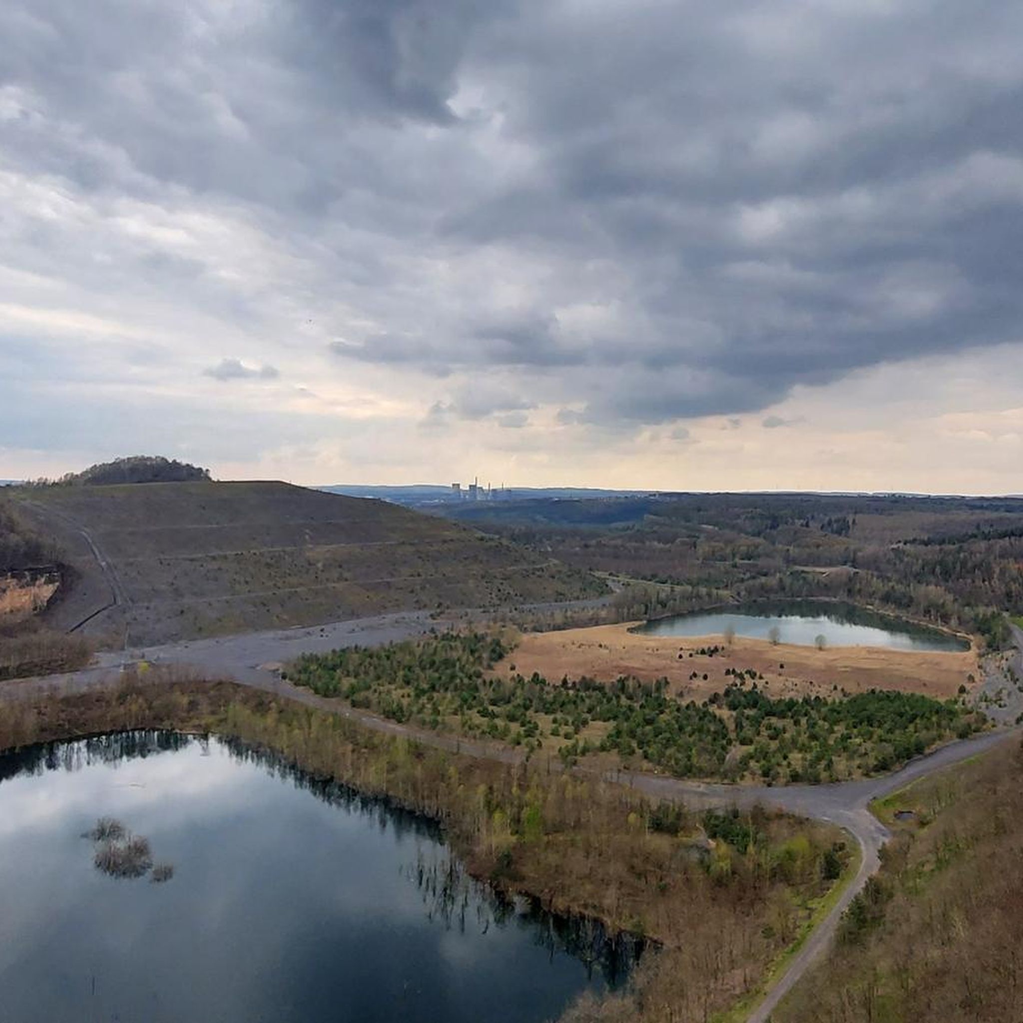
Distant view as far as the Vosges Mountains
0
0

A popular vantage point and landmark of the municipality of Überherrn is the monument 'For the Great Europeans'
1
0


A very beautiful renaturalized pit or quarry. A cool gateway for cyclists.
0
0

The Maginot Line: The French Wall | ARTE https://youtu.be/Bvtxa08ysgc For those who would like to know more about the Maginot Line: de.wikipedia.org/wiki/Liste_der_Ouvrages_der_Maginot-Linie
1
0
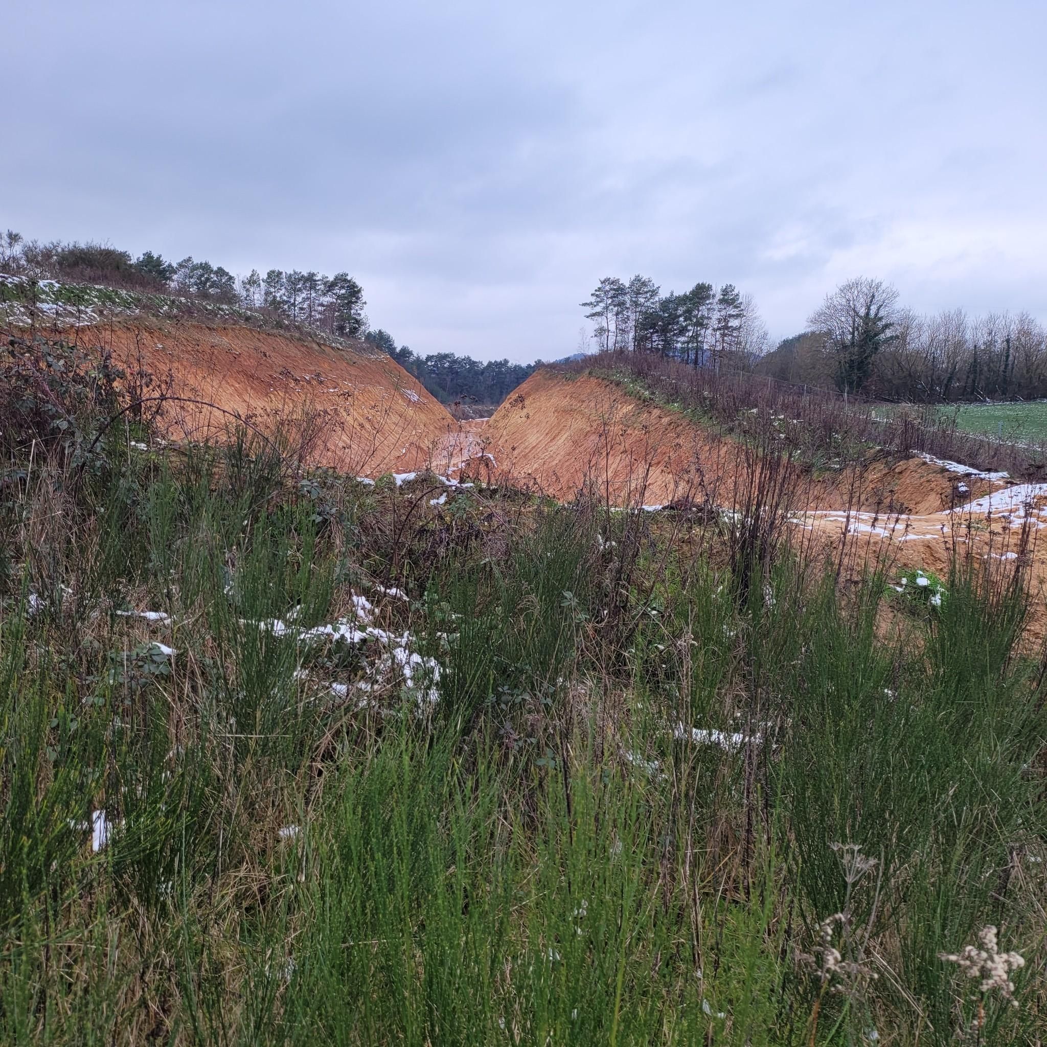
Excavation is difficult to find because it is overgrown and therefore completely unspectacular
1
0
Frequently Asked Questions
How many gravel bike trails are available around Altweiler?
There are over 30 gravel bike routes in the Altweiler region, offering a diverse range of options for cyclists. These routes vary in difficulty, from moderate to challenging, ensuring there's something for different skill levels.
What kind of terrain can I expect on gravel bike trails in Altweiler?
The gravel bike trails around Altweiler feature a varied landscape of rolling hills, dense woodlands, and open countryside. You'll encounter a mix of forest paths and rural tracks, with generally moderate elevations that provide both gradual climbs and descents.
Are there any easy gravel bike routes for beginners in Altweiler?
While many routes are moderate to difficult, the region does offer options suitable for those looking for a less strenuous ride. For instance, the Crossroads Oderfang – Kahlenberg Run loop from Saint-Avold is a moderate 26 km trail that offers a good introduction to gravel biking in the area.
What historical sites or landmarks can I explore near the gravel bike trails in Altweiler?
The Altweiler area is rich in history. You can find several notable landmarks, such as the Lorraine American Cemetery and Memorial, the Farébersviller Memorial and Stone Bridge, and the impressive Saint-Nabor Abbey Church of Saint-Avold. These sites offer interesting diversions along or near many routes.
Are there challenging gravel routes for experienced riders in Altweiler?
Yes, experienced gravel bikers will find plenty of challenging options. The Europe Monument, Berus – Warndtweiher loop from Forbach-Boulay-Moselle is a difficult 59.5 km route that traverses varied terrain, including demanding forest sections and open areas around Warndtweiher. Another challenging option is the Crossroads Oderfang – Rocher de l’Edelweiss loop from Longeville-lès-Saint-Avold.
Can I find circular gravel bike routes in the Altweiler area?
Many of the gravel bike routes in Altweiler are designed as loops, allowing you to start and end at the same point. For example, the popular View of the Bisten – Parc de la Bisten loop from Longeville-lès-Saint-Avold is a 44.4 km circular trail offering scenic views.
What is the best time of year for gravel biking in Altweiler?
The region is generally pleasant for gravel biking from spring through autumn. Spring brings blooming landscapes, while autumn offers vibrant foliage. Summer is also suitable, though it's always wise to check local weather conditions, especially for warmer days.
Are there options for family-friendly gravel cycling in Altweiler?
While specific 'family-friendly' designations aren't always available, routes with moderate difficulty and shorter distances would be most suitable. Look for trails that avoid significant elevation gains or technical sections, focusing on the more open countryside paths.
What do other gravel bikers enjoy the most about gravel biking in Altweiler?
The komoot community frequently praises the varied terrain and the mix of woodlands and open fields that define the Altweiler region. Many appreciate the well-maintained paths and the opportunity to explore natural environments and historical sites on two wheels.
Are there any gravel bike routes that pass through or near cafes in Altweiler?
While specific cafe locations aren't detailed for every route, many trails pass through or near smaller towns and villages where you can find local establishments for refreshments. Planning your route with a map that shows amenities can help you locate suitable stops.
What are the conditions of the gravel bike trails like in winter?
Winter conditions can vary. While some trails may remain rideable, others might be affected by snow, ice, or mud, especially in forested areas. It's advisable to check local weather forecasts and trail reports before heading out during the colder months, and ensure your bike is equipped for potentially challenging surfaces.
Are there less crowded gravel bike paths available in Altweiler?
To find less crowded paths, consider exploring routes that are not among the most popular or those that venture deeper into the woodlands. The Ouvrage de l'Einseling – Silcence Zone loop from Teting, for example, leads through forested areas, offering a quieter experience away from busier spots.
Most popular attractions around Altweiler

Get inspired with the komoot mobile app


Explore more
Browse the best Gravel rides in other regions.
