The best gravel rides around Nantouillet
4.6
(7)
55
riders
9
rides
Gravel biking around Nantouillet offers access to the diverse landscapes of the Seine-et-Marne department in north-central France. The region features extensive forested areas, including parts of the Fontainebleau Forest, and river valleys such as the Yerres and Marne. Terrain varies from smooth paths to more challenging routes, with moderate elevation gains typically under 200 meters. These natural spaces provide suitable conditions for gravel biking, blending natural and historical elements.
Best gravel bike trails around Nantouillet
- The most popular gravel bike…
Last updated: October 20, 2026
4.3
(4)
15
riders
Hard gravel ride. Very good fitness required. You may need to push your bike for some segments of this route.
4.5
(2)
21
riders
32.2km
01:45
120m
120m
Easy gravel ride. Mostly paved surfaces.

5
riders
Hard gravel ride. Good fitness required. You may need to push your bike for some segments of this route.
2
riders
21.4km
01:23
90m
90m
Easy gravel ride. Mostly paved surfaces.
2
riders
69.1km
04:16
490m
490m
Hard gravel ride. Very good fitness required. Mostly paved surfaces.
Get access to more routes and recommendations from other explorers.
Already have an account?
Our route recommendations are based on thousands of hikes, rides, and runs completed by other people on komoot.
Start today with a free account
Your next adventure awaits.


Tips from the Community

A towpath, or "chemin de halage," which runs alongside the river or canal, was an indispensable part of the transportation infrastructure in earlier times. Before ships could be propelled by motors, horses walked along the bank, pulling the vessel against the current. This was called "treideln," and that's how towpaths got their name, which has been passed down to this day. Where these paths, located directly on the riverbank, have been preserved, they are popular with hikers and cyclists.
0
0

This former mill now serves as a restaurant. You'll find an apartment hotel just across the street. It's a peaceful and pleasant setting!
0
0
Great walk for all levels that offers beautiful scenery!
1
0

Nice, yes, calm and peaceful... 4 km in line with the runway of CDG airport, the noise of planes taking off every 2 minutes at an altitude of a few hundred meters is infernal, even during breaks. How the locals manage 24/7 is beyond me...
0
0

Scandibérique route
0
0

Beautiful residence along the Marne.
0
0

Very nice road/path in the woods, quiet. Be careful, some segments south of the D126 are not tarmac, and less suitable for racing bikes.
0
0

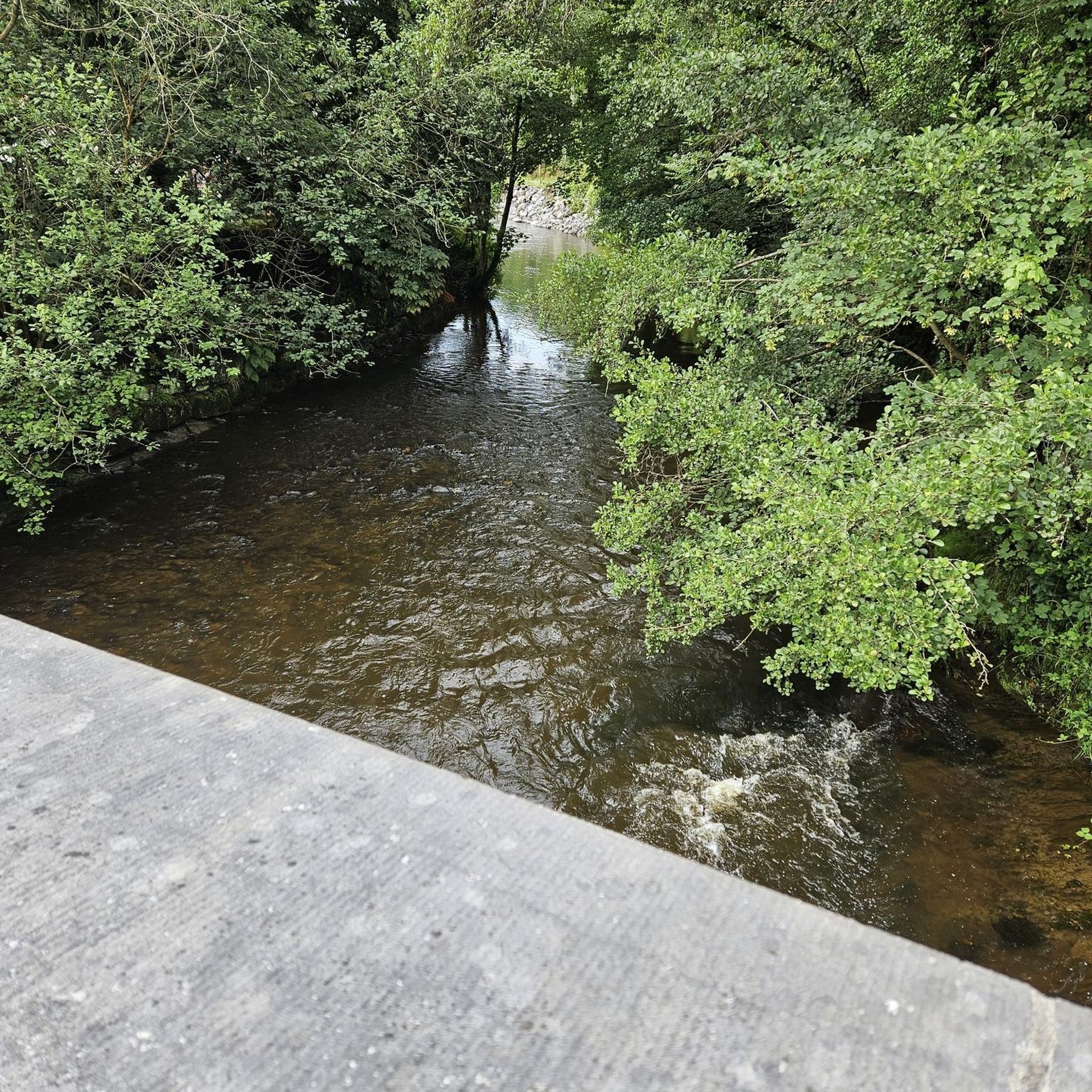
The loops of the Marne in Trilbardou offer an enchanting setting for a stroll along the water, in the heart of nature. This winding section of the river meanders through green landscapes, bordered by meadows and forests that are reflected in the calm waters. The banks are dotted with small, quiet paths, perfect for observing wildlife and enjoying the bucolic charm of the valley.
0
0
Frequently Asked Questions
How many gravel bike trails are available around Nantouillet?
There are over 15 gravel bike routes around Nantouillet, offering a variety of experiences for different skill levels. You'll find 4 easy routes, 11 moderate routes, and 2 more challenging options.
What kind of terrain can I expect on gravel bike trails near Nantouillet?
The terrain around Nantouillet is quite varied, typical of the Seine-et-Marne department. You can expect a mix of natural spaces, extensive forested areas like parts of the Fontainebleau Forest, and scenic river valleys along the Yerres and Marne. Surfaces range from smooth paths to more challenging sections with moderate elevation gains, generally under 300 meters.
Are there any easy gravel biking routes suitable for beginners or families?
Yes, there are several easy routes. For a moderate option that explores historical and natural scenery, consider the Senlis bus station – Senlis, medieval city loop from Othis. While not explicitly marked as 'easy' in the data, its moderate difficulty and scenic nature make it a good starting point. The region generally offers accessible paths suitable for various fitness levels.
Can I find circular gravel bike routes around Nantouillet?
Many of the gravel bike routes in the area are designed as loops. For example, the popular Marne Statues Park – Marne River Loops loop from Monthyon is a 60.4 km circular trail that takes about 5 hours to complete, featuring paths along the Marne River.
What historical sites or landmarks can I see while gravel biking near Nantouillet?
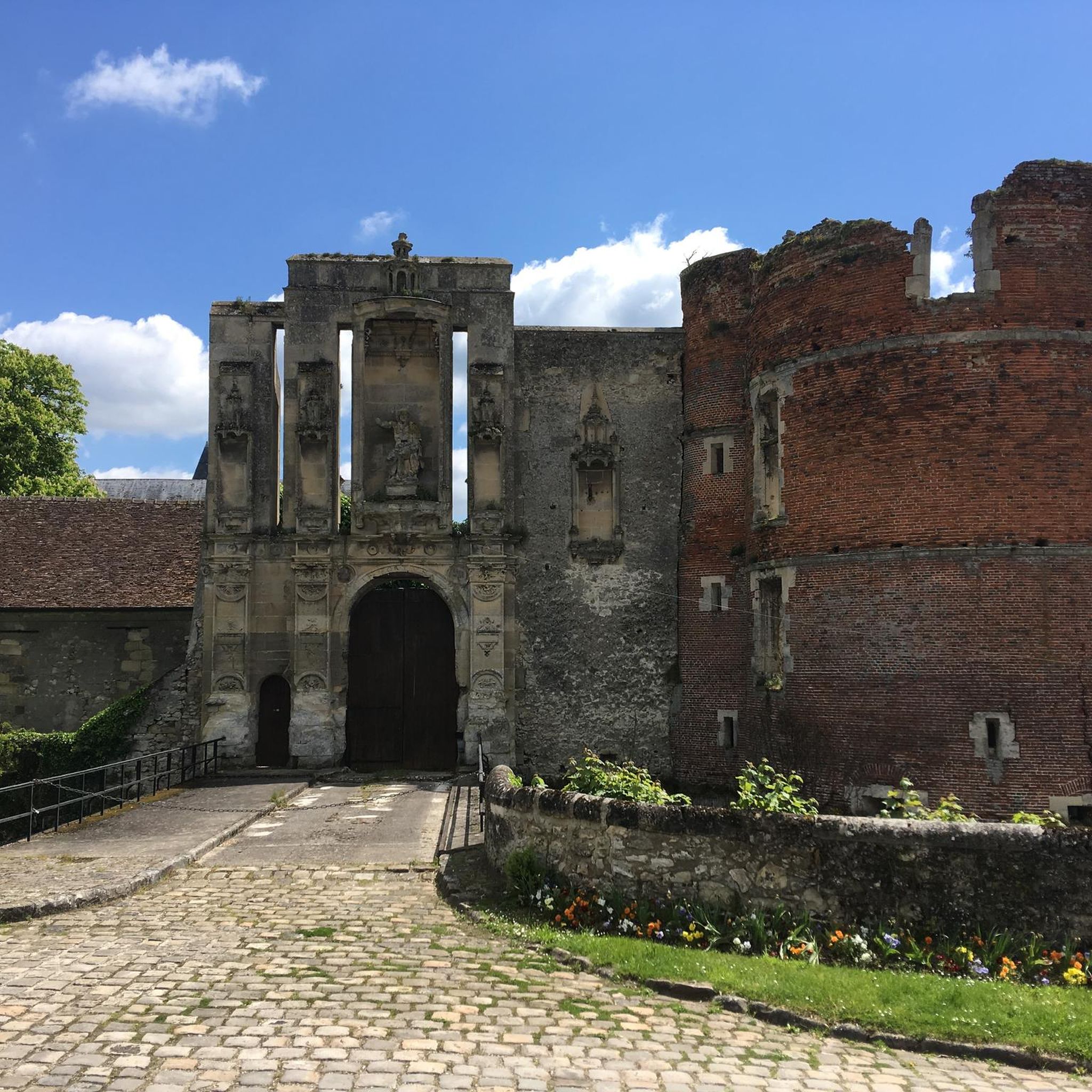
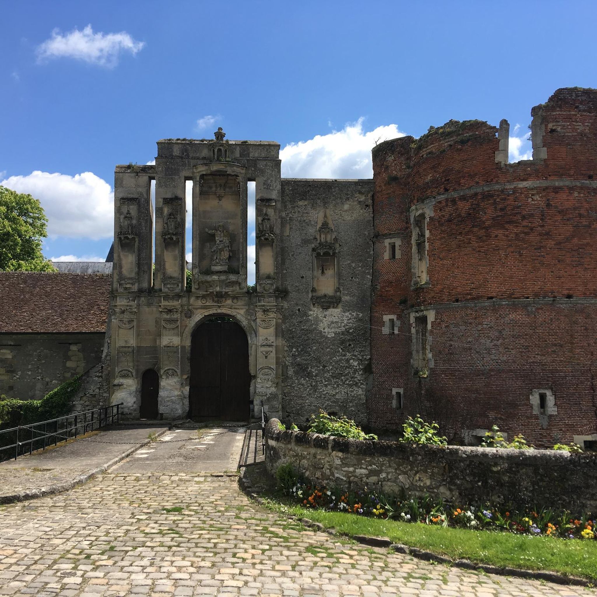
Nantouillet itself is known for the ruined 16th-century Renaissance Château de Nantouillet and the Saint-Denis church. A route like the Othis Church – Nantouillet Castle loop from Monthyon will take you through the countryside surrounding the castle. Additionally, the area features highlights such as the Canal de L'ourcq, which offers scenic paths.
Are there any routes that follow river valleys or canals?
Yes, several routes incorporate waterways. The Marne Statues Park – Marne River Loops loop from Monthyon follows paths along the Marne River. You can also explore highlights like the Ourcq cycle path to Claye-Souilly and the Canal de L'ourcq, which are featured on routes such as the Ourcq canal bridge – View from the Dhuys loop from Annet-sur-Marne.
What do other gravel bikers say about the trails in Nantouillet?
The gravel biking routes around Nantouillet are highly rated by the komoot community, with an average score of 3.7 stars from over 10 reviews. Users often praise the diverse landscapes, which blend natural spaces with historical elements, and the variety of terrain suitable for different ability levels.
Are there any long-distance gravel routes for experienced riders?
For experienced riders seeking a longer challenge, the Claye-Souilly – Claye-Souilly loop from Annet-sur-Marne is a difficult 68.5 km route. The region also offers extensive forest roads, particularly in areas like the Fontainebleau Forest, which has 1,600 kilometers of trails for exploration.
What is the best time of year for gravel biking in Nantouillet?
The Seine-et-Marne region, including Nantouillet, is generally pleasant for gravel biking during spring, summer, and early autumn. These seasons offer milder weather and better trail conditions. While winter riding is possible, some paths might be muddy or require more robust gear.
Are there opportunities for wildlife spotting on the gravel trails?
Given the extensive forested areas like the Armainvilliers forest and river valleys, there are certainly opportunities for wildlife spotting. Keep an eye out for local birds and small mammals, especially during quieter times of day or in less frequented sections of the trails.
Where can I find parking for gravel biking routes near Nantouillet?
While specific parking details for each route are best checked on the individual tour pages, many routes start from villages or towns like Monthyon or Othis, where public parking is typically available. For example, the Senlis bus station – Senlis, medieval city loop from Othis suggests a starting point with potential parking access.
What are some unique natural features I might encounter on these rides?
Beyond the forests and rivers, the broader Seine-et-Marne area is known for unique features such as sandstone formations and boulders in areas like Fontainebleau Forest. Some routes may also feature distinctive elements like sequoia tree alleys, adding a unique touch to your ride.
Most popular routes around Nantouillet
Most popular attractions around Nantouillet

Get inspired with the komoot mobile app


Explore more
Browse the best Gravel rides in other regions.
