The best gravel rides around Chérisey
4.8
(13)
155
riders
26
rides
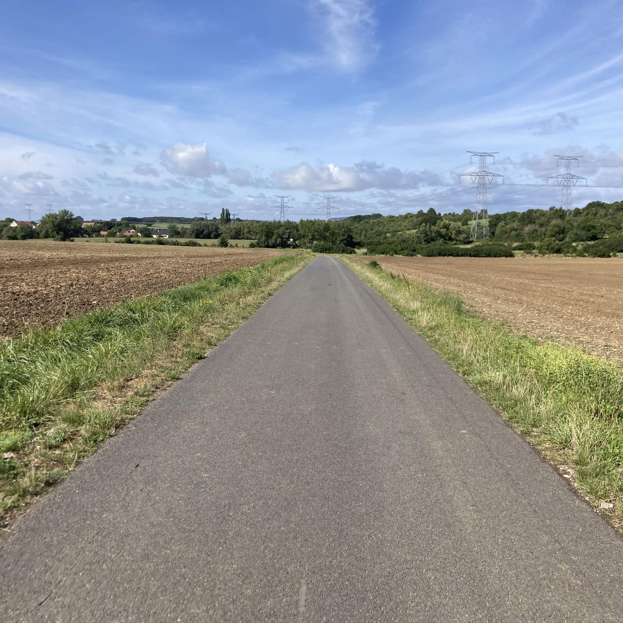
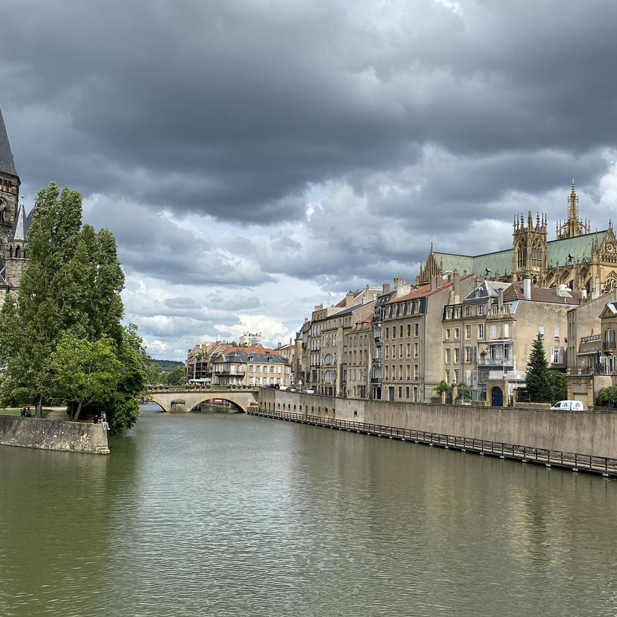
Gravel biking around Chérisey features routes that traverse river valleys, including the Seille and Moselle, and explore areas with historical significance such as forts and specific landmarks like Mount Saint-Quentin. The terrain typically includes a mix of flat sections along waterways and rolling hills, offering varied elevation profiles. This region provides a diverse landscape for gravel cyclists, from open views to more enclosed paths.
Best gravel bike trails around Chérisey
- The most popular gravel bike trail is Mountain biking in…
Last updated: October 20, 2026
4.5
(4)
34
riders
26.2km
01:21
150m
150m
Moderate gravel ride. Good fitness required. Mostly paved surfaces.
4.5
(2)
16
riders
38.6km
02:09
190m
190m
Moderate gravel ride. Good fitness required. Mostly paved surfaces.

6
riders
Moderate gravel ride. Good fitness required. Mostly paved surfaces.
5.0
(1)
8
riders
57.1km
03:17
390m
390m
Moderate gravel ride. Good fitness required. Mostly paved surfaces.
2
riders
21.5km
01:28
180m
180m
Moderate gravel ride. Good fitness required. Mostly paved surfaces.
Get access to more routes and recommendations from other explorers.
Already have an account?
Our route recommendations are based on thousands of hikes, rides, and runs completed by other people on komoot.
Start today with a free account
Your next adventure awaits.



Tips from the Community

Two farms were located on the old path between Metz and Peltre, the Haute Bévoye and the Basse Bévoye. The Haute Bévoye, on a hill, is a fortified farm documented from the early 14th century. In 1404, it belonged to "Jehan Xaippey", i.e. Jean de Raigecourt, known as Xappel; 12 cattle and 8 horses were raised there at the time. In addition to an 18th-century dwelling and farm buildings, the layout of the medieval castle remains legible, with four rectangular wings surrounded by a moat; two wings and three towers recall the initial state. https://melodi.univ-lorraine.fr/s/projet-cite-de-metz/item/2973
1
0

A spectacular building from 2010, the first branch of Paris's famous Centre Pompidou, a museum of contemporary art. A white, curved roof is stretched across many exposed wooden beams. Inside, the tube-like exhibition spaces are stacked one above the other in a star shape, with enormous panoramic windows at the ends offering views of the city and the surrounding area.
4
1

Memorial to the fallen of the two world wars and the Indochina War 🕊️.
0
0
Memorial to the fallen of the two world wars 🕊️
0
0
This beautiful rest area is located on the former railway line, at the old train station in Pange.
0
0

The Center Pompidou-Metz is a well-known contemporary art museum located in the Amphitheater district. Created in 2010 as part of a development project, it is one of the most visited museums in France outside of Paris. Its creation represented the first example of decentralization of a public cultural building, in this case the Center Georges Pompidou in Paris. The idea of creating a "branch" came to the now director Jean-Jacques Aillagon in 1997, when the Pompidou in Paris was closed for works (1997-2000). To continue exhibiting the various collections it was decided to create the “Outside the Walls” project, with exhibitions in various French cities. Given the success, concrete thought was given to a second location for the Pompidou Center. Input to the project was given by Aillagon himself when, in 2002, he was appointed Minister of Culture. Various cities showed interest, including Caen, Montpellier, Nancy and Lille, but in January 2003 the final choice was announced: Metz. The following March the tender for the project was launched, won by architects Shigeru Ban, Jean de Gastines and Philip Gumuchdjian. The construction was part of the urban redevelopment project of the Amphitheater district which, in addition to the Pompidou Centre, led to the construction of the Seille Park, the "Robert Schuman" conference centre, the Muse shopping center as well as various buildings of housing and green areas. The official inauguration took place on 11 May 2010 in the presence of President Sarkozy. The Pompidou Center in Metz has a hexagonal plan. The structure develops around a central body with a 77 meter high tower and is characterized by the presence of three self-supporting tunnels that cross each other transversally. The three galleries are oriented towards different points of the city, so as to provide the most complete overview possible. The cover, entirely made of wood, recalls the shape of a traditional Chinese hat owned by Shigeru Ban himself. In addition to the vast exhibition space, which extends over 5,000 m², the structure includes places to welcome the public, a studio for the presentation of shows and performances, gardens, an auditorium, a bookshop, a restaurant and a café. www.centrepompidou-metz.fr
1
0

The origin of “Pont-à-Domangeville is lost in the mists of time. The Roman road from Metz to the Rhine already passed through there. Under the old regime, it was a tiny separate lordship, with a toll bridge. Usually blocked and padlocked, to cross it you had to pay a fee, depending on the livestock and products passed through. The lordship belonged in the 13th century to the Saint-Vincent de Metz abbey, then to the successive lords of Domangeville; in 1716, to the Laubrussels, then to the Leuryses, finally to the Thomas de Pange. It included, in addition to the bridge, the road - 50 toises on this side, 18 beyond - the bed of the Nied on both sides and, on the south-east bank, land with a hostelry (current Mayot farm) . In 1789, the community of Bazoncourt declared in its list of grievances “the enlightenment of the State and the kindness of the King will undoubtedly eliminate a right of final injustice perceived at Pont-à-Domangeville. However poor a plowman he may be, he pays three does and several pay without passing through.” After the revolution, the bridge had to be repaired. Paradoxically, the general council had the expenditure entered in the 1814 and 1815 rolls of the localities which had subscribed to the bridge in 1766. On this ordeal is inscribed: “This monument of our redemption was erected by the care of MM. De Pange, de Courten, Devaux and Dauphin, Commissioners responsible for the reconstruction of this bridge, in the year of our Lord 1816. During the reconstruction work and near the bridge, Joseph GRANDIDIER de Hernicourt and François ANIEL perished in the waters on July 20 from Domangeville, both attached to the service of the neighboring farm »
1
0

Two people died during the reconstruction of the bridge over the Nied Française in Domangeville in 1816.
1
0
Frequently Asked Questions
How many gravel bike trails are available around Chérisey?
There are over 40 gravel bike routes in the Chérisey area, offering a wide range of experiences for different skill levels.
Are there gravel bike routes suitable for beginners in Chérisey?
Yes, Chérisey offers 5 easy gravel bike routes. These often follow flatter sections along the river valleys, providing a gentle introduction to gravel biking in the region.
What kind of challenges can advanced gravel bikers expect around Chérisey?
Advanced riders can tackle routes with significant elevation changes, particularly around Mount Saint-Quentin. For example, the Mount Saint-Quentin – Blocaus plappeville loop from Peltre is a challenging option with over 600 meters of climbing. There are 10 difficult routes in total.
What are the typical distances and elevation gains for gravel bike trails in Chérisey?
Routes vary significantly. You'll find shorter loops around 30-40 km with moderate elevation, like the Fort de Queuleu – Seille spillway loop from Pournoy-la-Grasse (36.5 km, 243m elevation gain). Longer, more challenging routes can exceed 150 km with over 800m of climbing, such as the Along the Moselle – View of the Moselle loop from Lorraine TGV.
Are there any family-friendly gravel bike trails near Chérisey?
While specific 'family-friendly' designations aren't always explicit, the easier routes along the river valleys, which tend to be flatter, are generally more suitable for families. Look for routes marked as 'easy' in the guide.
What is the best time of year for gravel biking in Chérisey?
Spring and autumn generally offer the most pleasant conditions with milder temperatures and beautiful scenery. Summer can also be good, but be prepared for warmer weather, especially on exposed sections. Winter riding is possible but conditions can be muddy or icy, particularly on unpaved sections.
Are there any circular gravel bike routes around Chérisey?
Yes, many of the gravel bike routes in Chérisey are designed as loops, allowing you to start and finish at the same point. Examples include the Blocaus plappeville – View in Metz loop from Peltre and the Fort de Queuleu – Seille spillway loop from Pournoy-la-Grasse.
What interesting landmarks or attractions can I see along the gravel bike trails?
The routes often pass by historical sites and natural beauty. You might encounter fortifications like Fort Queuleu, or enjoy views of Lake Symphonie. Other notable points include Mercy Castle and the Domangeville Bridge Monument.
What do other gravel bikers enjoy most about riding in Chérisey?
The area is highly rated by the komoot community, with an average score of 4.7 stars from over 20 reviews. Reviewers often praise the diverse terrain, from river valleys to rolling hills, and the blend of natural beauty with historical sites.
Are there opportunities for wildlife spotting on the gravel trails?
Riding through the river valleys and more secluded paths can offer chances to observe local wildlife. Keep an eye out, especially during quieter times of day, as you traverse the varied landscapes of the region.
Are there cafes or places to refuel near the gravel bike trails?
While specific cafes are not listed for every trail, routes often pass through or near villages and towns where you can find places to refuel. Planning your route with komoot allows you to identify potential stops along the way.
What kind of views can I expect on the Chérisey gravel bike routes?
You can expect diverse views ranging from open vistas across river valleys like the Seille and Moselle, to panoramic views from elevated points such as Mount Saint-Quentin, and scenic paths through more enclosed, wooded areas.
Most popular attractions around Chérisey

Get inspired with the komoot mobile app


Explore more
Browse the best Gravel rides in other regions.
