The best gravel rides around Les Martys
4.3
(15)
135
riders
18
rides
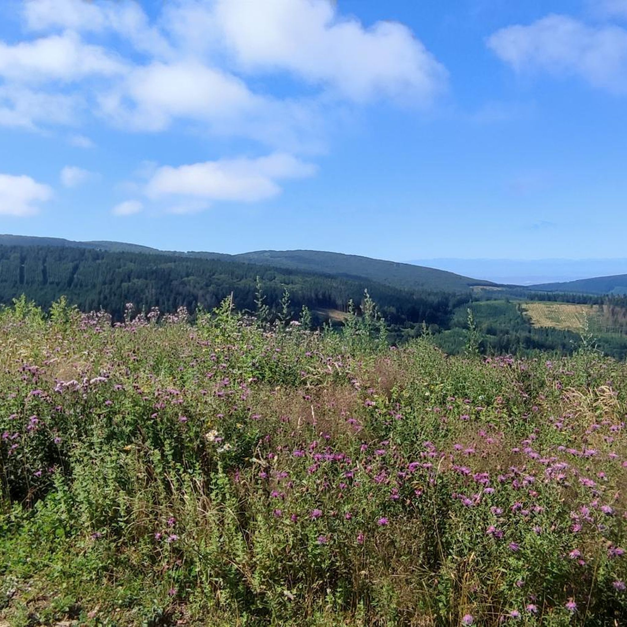
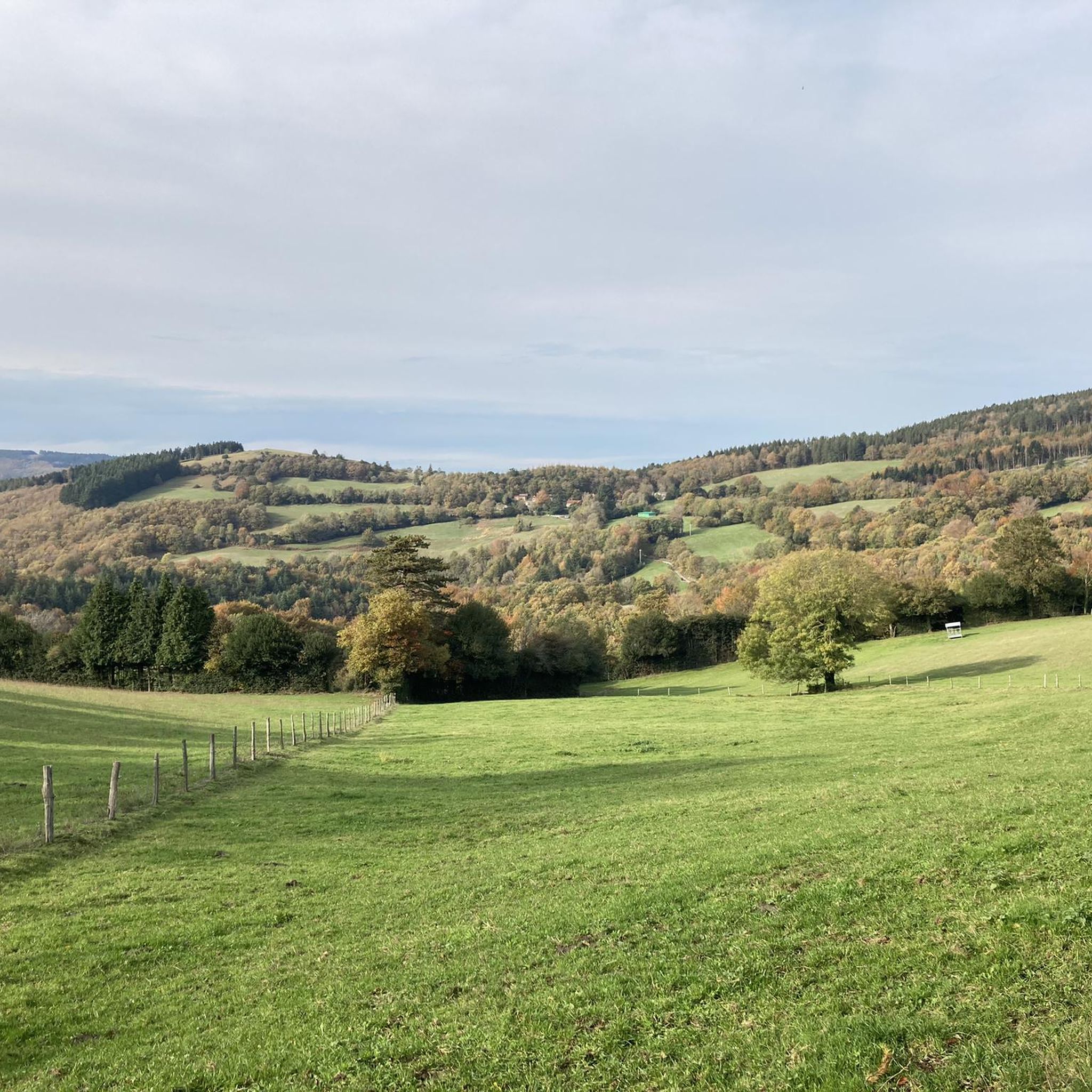
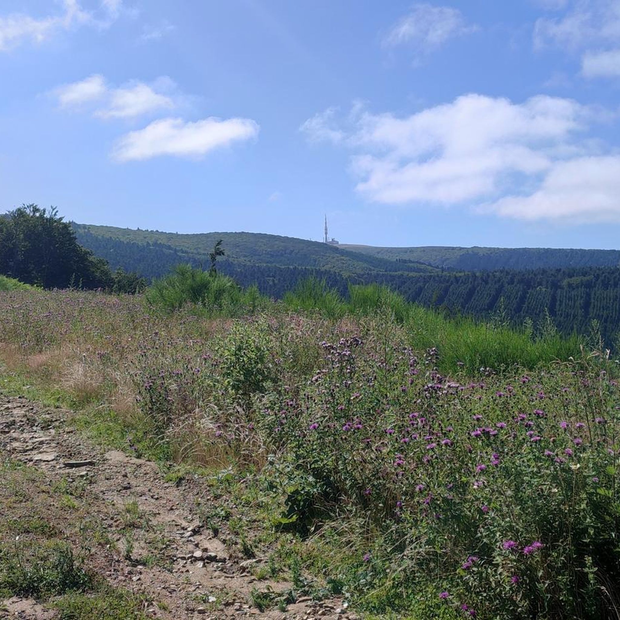
Gravel biking around Les Martys offers a diverse landscape within the Montagne Noire (Black Mountain) region, characterized by its network of greenways and varied terrain. The area features lush forests, rolling hills, and significant elevation changes, ranging from 639 meters to 964 meters. Routes often follow former railway lines or forest tracks, providing a mix of surfaces ideal for gravel cycling, including paths through tunnels and past water features like Lac des Montagnès. This environment naturally provides the mixed surfaces…
Last updated: October 19, 2026
4.2
(5)
44
riders
64.9km
03:29
540m
540m
Hard gravel ride. Very good fitness required. Mostly paved surfaces.
4.5
(6)
22
riders
35.5km
01:46
160m
160m
Moderate gravel ride. Good fitness required. Mostly paved surfaces.

5.0
(2)
10
riders
32.8km
02:03
360m
360m
Hard gravel ride. Good fitness required. You may need to push your bike for some segments of this route.
6
riders
71.4km
05:23
1,810m
1,810m
Hard gravel ride. Very good fitness required. Mostly paved surfaces.
8
riders
45.1km
03:00
940m
940m
Hard gravel ride. Very good fitness required. Mostly paved surfaces.
Get access to more routes and recommendations from other explorers.
Already have an account?
Our route recommendations are based on thousands of hikes, rides, and runs completed by other people on komoot.
Start today with a free account
Your next adventure awaits.
Tips from the Community

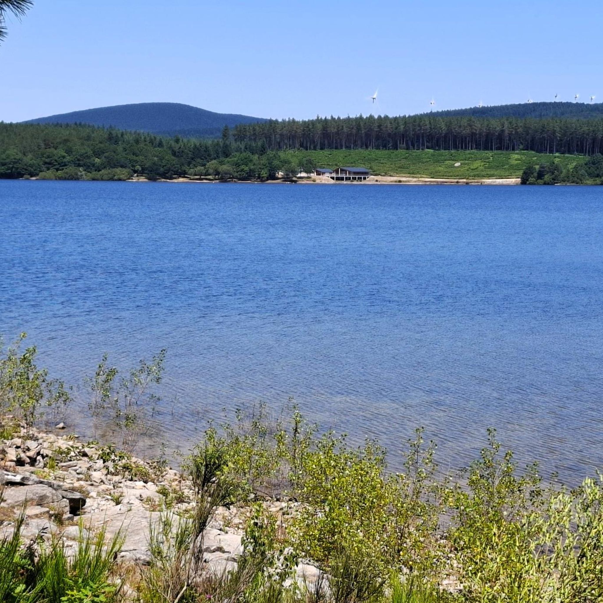
The Alzeau dam (or d'Alzau[1]), located in the commune of Arfons, in the Tarn[2], is the starting point of the rigole de la Montagne, which then feeds the Canal du Midi. It is located on the border with the Aude department, and is accessible via the commune of Lacombe. (Wikipedia)
0
0

To do but non-slip plate for your dogs. Watch your paws.
0
0

Great campsite! Everything you could want. Cheap, close to the village, toilet paper, soap, and a covered room with a microphone, kettle, tables, chairs, etc. Top notch.
1
0

Narrow passage with worn ruts from cart wheels... (Roman?)
0
0
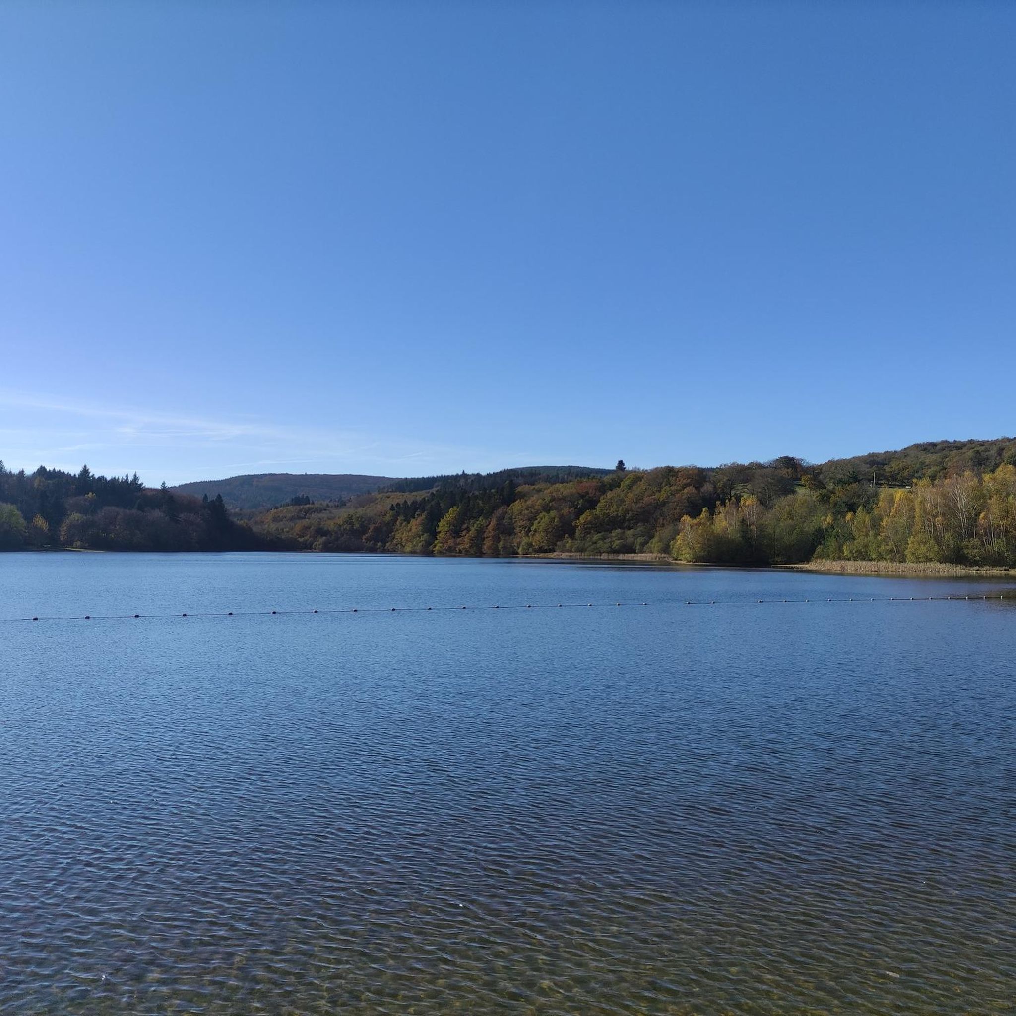
The Cammazes Dam is located in the Montagne Noire massif in the Tarn department. It provides a drinking water reserve for the municipalities around Revel. Built between 1954 and 1957 and commissioned in 1958, the Cammazes Dam is located on the Sor River, between the municipalities of Cammazes and Sorèze in the Tarn department, and the municipality of Saissac in the Aude department. It forms Lake Cammazes, which also receives excess water from the mountain channel via the Conquet spillway. The structure is intended for drinking water supply and irrigation. It supplies 200 municipalities, representing over 170,000 inhabitants. The surface area of the body of water is approximately 90 hectares. Its reservoir volume is 18.8 million cubic meters; the watershed area is 30 km². The operator is the Montagne Noire Water Institution. The water is piped to the Picotalen treatment plant. It also serves as a reserve for the Canal du Midi via a water intake feeding the mountain channel (water rights of 4 million cubic meters) (Wikipedia)
0
0

Very nice and there were waffles and ice cream
0
0


Nice restaurant in the medieval village; delicious and highly recommended, excellent value for money
2
0
Frequently Asked Questions
How many gravel bike routes can I find around Les Martys?
There are over 20 gravel bike routes available around Les Martys on komoot, offering a diverse range of experiences for different skill levels.
Are there any easy or beginner-friendly gravel bike routes in Les Martys?
While many routes feature moderate sections, the region's greenways, like the Voie Verte Passa Païs, offer smoother surfaces suitable for those new to gravel biking. Routes often follow former railway lines, providing a less challenging terrain.
What kind of terrain can I expect on gravel bike trails around Les Martys?
You'll encounter varied terrain, from well-maintained greenways and former railway lines to forest tracks. The landscape is characterized by tunnels and routes around significant water features like Lac des Montagnès, offering a mix of surfaces and gradients.
Are there any challenging gravel bike routes for experienced riders?
Yes, Les Martys offers routes with significant elevation changes and more difficult sections. For instance, the Lac des Montagnès – Mazamet Footbridge loop from Mazamet is rated as difficult, featuring substantial climbs.
What are some scenic highlights or attractions I can see along the gravel bike routes?
Many routes pass by beautiful natural and man-made features. You can explore areas around the Lampy and Alzeau water intakes, or ride past picturesque lakes like Lac des Montagnès. The La Passerelle de Mazamet (footbridge) is another notable landmark.
Are there any circular gravel bike routes around Les Martys?
Yes, many of the gravel routes are designed as loops. Popular circular options include the Labastide Tunnel – Voie Verte Passa Païs loop from Mazamet and the Lampy – Alzeau Water Intake loop from Lacombe.
What do other gravel bikers enjoy most about the routes in Les Martys?
The komoot community rates the routes highly, with an average of 4.3 stars. Riders often praise the unique experience of cycling through historic tunnels and along greenways, as well as the scenic beauty of the lakes and water features.
What is the best season for gravel biking in Les Martys?
The region generally offers good conditions for gravel biking from spring through autumn. The varied terrain and tree-lined sections can provide shade in warmer months, while the greenways are enjoyable in milder weather. Always check local weather forecasts before heading out.
Are there any routes that feature waterfalls?
Yes, for those interested in waterfalls, the Cubserviès Waterfall is an attraction in the wider area that can be incorporated into a gravel biking adventure, though it may require a slight detour from main routes.
Are there any routes that pass by lakes or other water bodies?
Absolutely. The region is known for its water features. Routes often go around or near lakes such as Lac des Montagnès, Lac des Cammazes, and the Lampy and Alzeau water intakes, providing picturesque views and refreshing stops.
How long do gravel bike routes typically take in Les Martys?
Route durations vary significantly based on distance and difficulty. For example, the Labastide Tunnel – Voie Verte Passa Païs loop is about 38 miles (61 km) and takes around 3 hours 10 minutes, while shorter loops like the Lampy – Alzeau Water Intake loop (20 miles / 32.6 km) can be completed in about 2 hours.
Most popular routes around Les Martys
Most popular attractions around Les Martys

Get inspired with the komoot mobile app


Explore more
Browse the best Gravel rides in other regions.
