The best gravel rides around Mailhac
4.2
(58)
427
riders
39
rides
Gravel biking around Mailhac offers diverse terrain within the Minervois region of Occitanie, France. This area is characterized by low hills and extensive agricultural lands, providing a network of unpaved roads and tracks suitable for gravel exploration. The proximity to the Canal du Midi offers relatively flat, well-maintained gravel paths alongside waterways. The landscape also features smaller streams, contributing to varied natural environments for cycling.
Best gravel bike trails around Mailhac
- The most popular gravel bike trail is View over…
Last updated: November 3, 2026
3.0
(1)
29
riders
32.4km
02:30
90m
90m
Moderate gravel ride. Good fitness required. Mostly paved surfaces.
4.5
(22)
157
riders
132km
07:48
320m
320m
Hard gravel ride. Very good fitness required. Mostly paved surfaces.

4.7
(3)
37
riders
31.0km
01:31
60m
60m
Easy gravel ride. Mostly paved surfaces.
4.6
(9)
50
riders
44.9km
02:16
120m
120m
Moderate gravel ride. Good fitness required. Mostly paved surfaces.
4.5
(4)
9
riders
37.2km
01:58
70m
70m
Easy gravel ride. Mostly paved surfaces.
Get access to more routes and recommendations from other explorers.
Already have an account?
Our route recommendations are based on thousands of hikes, rides, and runs completed by other people on komoot.
Start today with a free account
Your next adventure awaits.
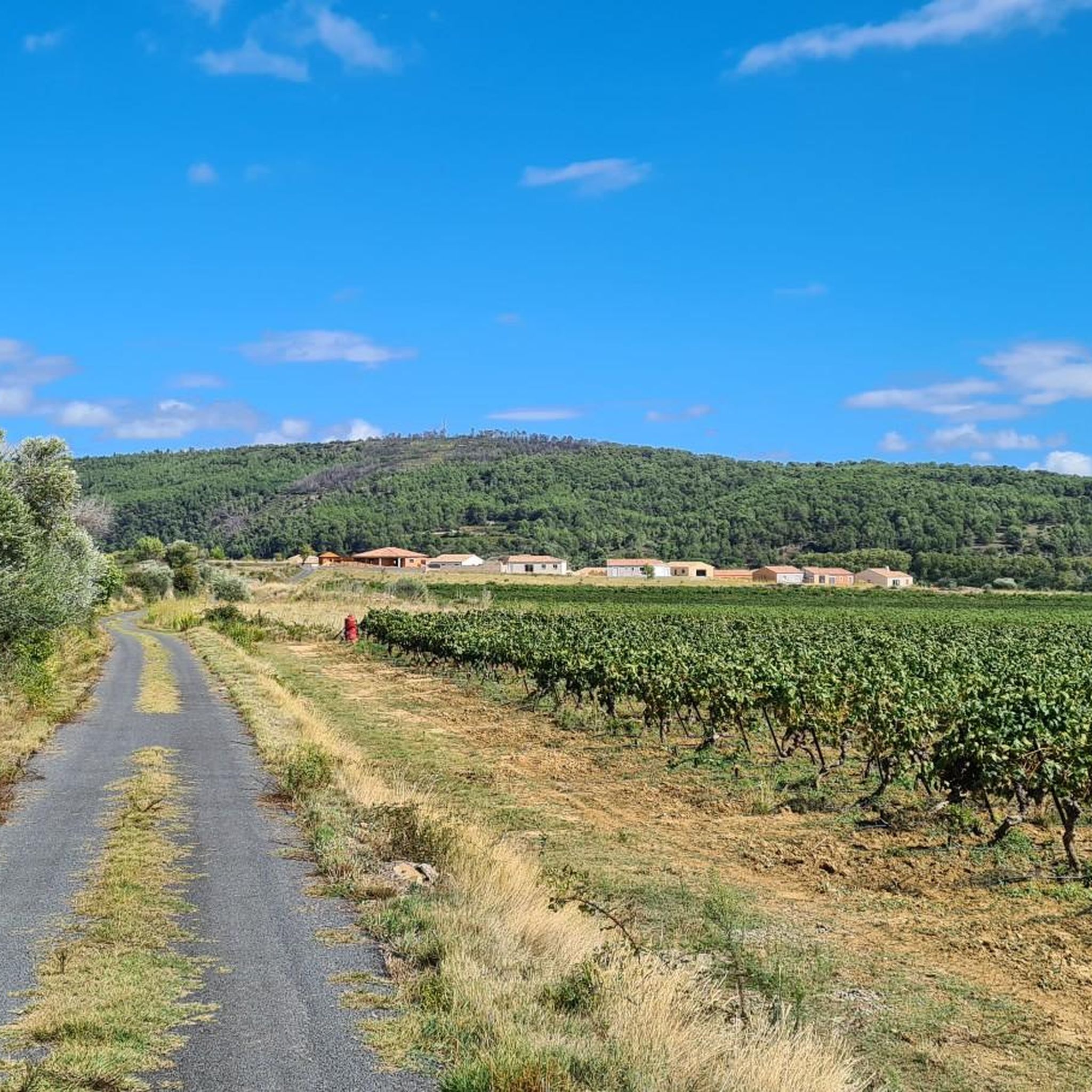
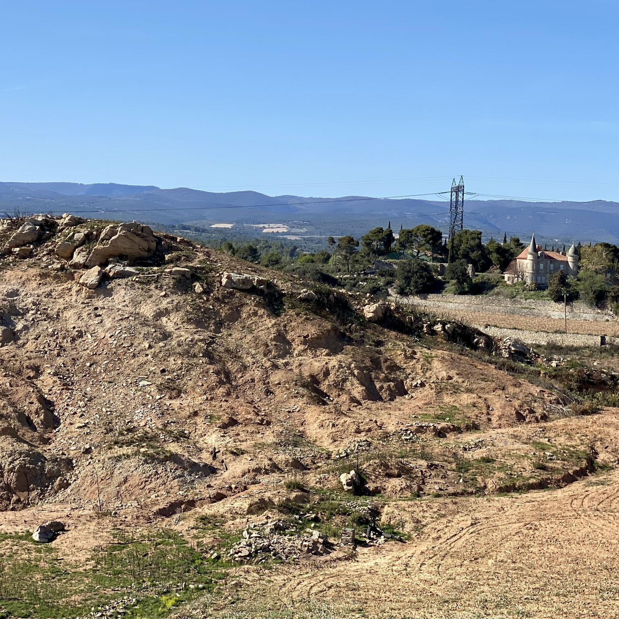
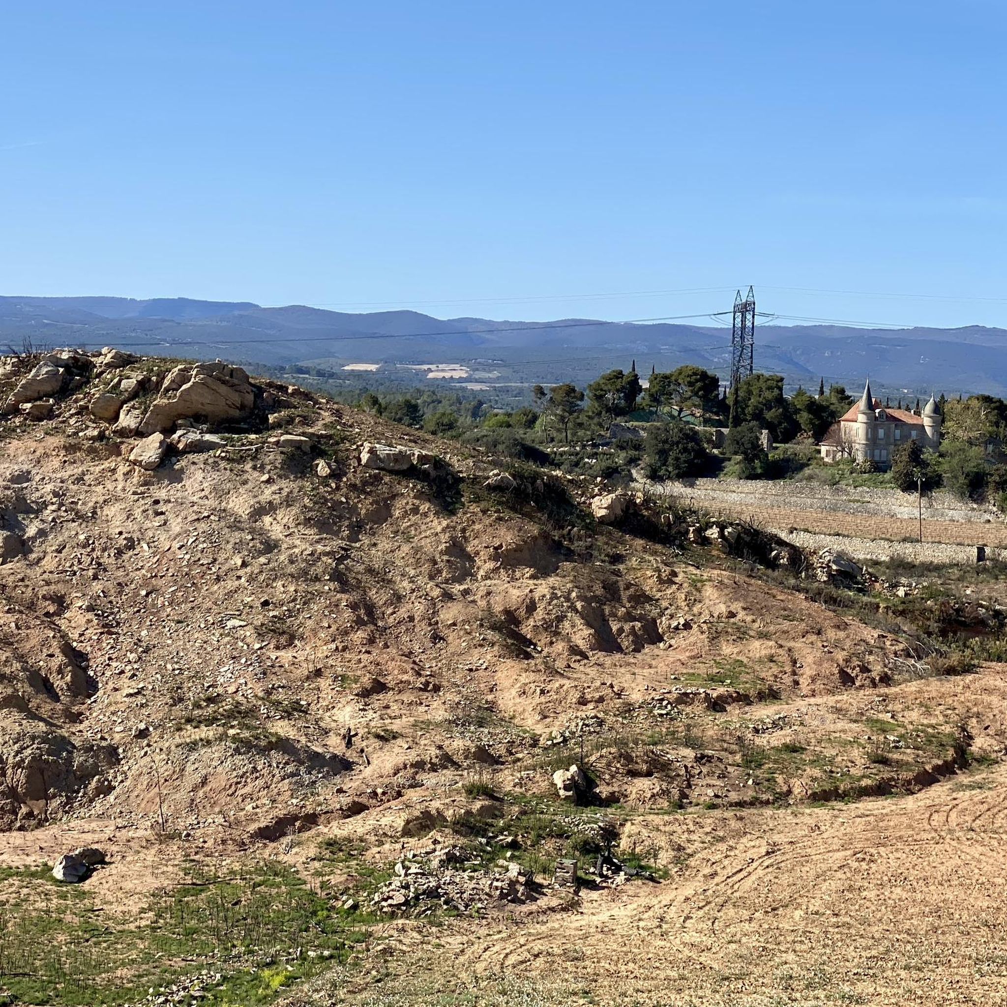
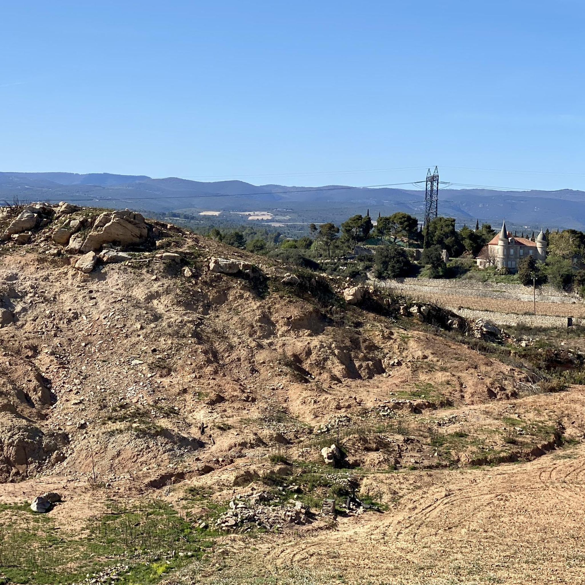
Tips from the Community

• The beginnings (1901): The father, Léon Camman, sent his newly graduated son Joseph to the Étang de Marseillette, where the family held financial shares. Joseph took over the management and gradually acquired around 800 of the total 2,000 hectares of the area. • The Naudy hydroelectric power plant (1912): To operate the complex drainage and irrigation system on a large scale, Joseph Camman designed and built his own small hydroelectric power plant. • Electric plowing: Thanks to the energy generated, Camman revolutionized local agriculture. He introduced electric plowing, which allowed the huge, often heavy and crusted soils of the former lake bed to be mechanically deep-plowed and cultivated. • Infrastructure development: The family systematically built paths, bridges, and access roads to connect the agricultural estates (metaories) with each other and to enable the transport of harvests.
0
0
The Camman era (1900–1941) marks the phase of technological modernization and industrialization of the drained Étang de Marseillette. After the land had been divided among many small farmers in the 19th century and the canals had fallen into disrepair due to a lack of coordination, this family brought back the necessary structure and innovation
0
0
Although she successfully drained the swamp water and made the land arable, her financial resources were ultimately not enough to solve the soil's biggest problem: the salt. The later project of diverting fresh river water from the Aude via a tunnel to wash the salty soil had to be completed later by successor companies.
0
0
• Origin and status: Marie Anne came from the influential Irish-Catholic Coppinger family. After her husband's death, she possessed a considerable fortune. • The purchase of the Etang (1804): During the Napoleonic era, she acquired the vast swamp area as "national property" (domaine national). The authorities gave her a four-year deadline to have the body of water completely drained in order to protect the health of the local population (who suffered from malaria) and to gain new arable land. • The mammoth task: Together with her son, she led a gigantic construction project. She invested almost her entire fortune in the construction of kilometers of drainage canals and ditches
0
0
Madame Lawless (born Marie Anne Coppinger) was a wealthy Irish widow who played a decisive role in the history of the Minervois at the beginning of the 19th century. She went down in history as the woman who, from 1804 onwards, succeeded in permanently draining the uninhabitable and disease-ridden swamp of the Étang de Marseillette and transforming it into a fertile agricultural area.
0
0
The site is also part of a protected natural area (ZNIEFF) due to its rich biodiversity, hosting numerous bird species (herons, egrets, ducks) attracted by this aquatic and agricultural environment.
0
0
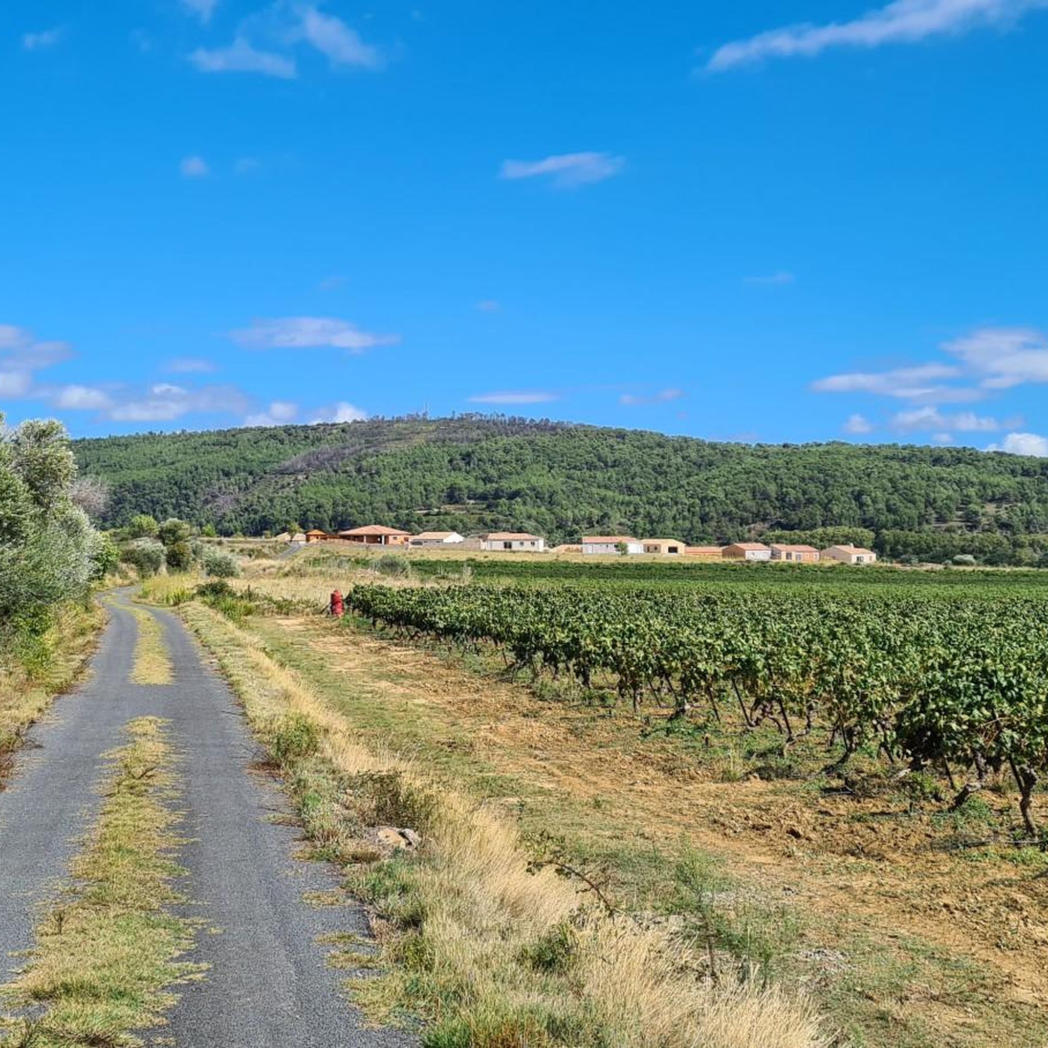
Today, the pond is criss-crossed by dozens of kilometers of drainage and irrigation canals. This network has allowed for the development of crops that are very surprising for the Mediterranean region: • Rice: Rice fields thrive in the heart of the Aude. • Vines: Which produce wines with a unique character, influenced by the salt still present in the subsoil. • Apples: Large orchards cover part of the plain
0
0
It was finally at the beginning of the 19th century, from 1804 onwards, that the project succeeded thanks to the initiative of an Irish woman, Madame Lawless. Later, in the middle of the 19th century, the digging of a tunnel of more than 2 kilometers made it possible to bring water from the Aude to irrigate the pond and, above all, to wash out the salt accumulated in the soil. At the beginning of the 20th century, the engineer Joseph Camman modernized the site by creating, in particular, the Naudy hydroelectric plant to mechanize the work of the land.
0
0
Frequently Asked Questions
How many gravel bike trails are available around Mailhac?
There are over 50 gravel bike trails around Mailhac, offering a wide range of options for different skill levels. You'll find everything from easy canal-side rides to more challenging routes through the Minervois hills.
What kind of terrain can I expect on gravel bike routes in Mailhac?
Gravel biking around Mailhac features diverse terrain. You'll primarily encounter unpaved roads and tracks through agricultural lands and low rolling hills in the Minervois region. Many routes also follow the well-maintained gravel paths alongside the Canal du Midi and its branches, offering flatter, scenic rides.
Are there any easy gravel bike routes suitable for beginners or families?
Yes, Mailhac offers several easy gravel routes, particularly those along the Canal du Midi. These paths are generally flat with minimal elevation gain, making them ideal for beginners or families. An example is the View over Paraza – Paraza canal bridge loop from Homps, which is an easy 31 km ride along the canal.
What are some scenic viewpoints or landmarks I can see while gravel biking near Mailhac?
The region offers beautiful views, especially along the Canal du Midi. You can pass by picturesque spots like The Port of Somail, a charming hamlet, or the Junction of the Canal du Midi and the Canal de la Robine. The historic village of Minerve, perched dramatically on a rock, is also a significant attraction nearby.
Are there any challenging gravel routes for experienced riders?
Yes, for more experienced riders seeking a challenge, there are difficult routes available. One notable option is the Fresquel Lock – Canal du Midi Bridge loop from Sallèles-d'Aude, a substantial 126.9 km trail that takes you through extensive agricultural territories and along the Canal du Midi, typically requiring about 10 hours to complete.
What is the best time of year for gravel biking in Mailhac?
The Mailhac region benefits from a generally pleasant Mediterranean climate. Spring and autumn are often ideal, offering comfortable temperatures and beautiful scenery. Summers can be warm, so early morning or late afternoon rides are recommended, while winters are generally mild but can have cooler, wetter days.
Can I find circular gravel bike routes in the Mailhac area?
Many of the gravel routes around Mailhac are designed as loops, allowing you to start and finish at the same point. For example, the Argent-Double Spillway – Canal du Midi Bridge loop from Homps is a popular moderate circular path that follows the Canal du Midi.
What do other gravel bikers say about the routes in Mailhac?
The gravel routes in Mailhac are highly rated by the komoot community, with an average score of 4.3 stars from over 40 reviews. Riders often praise the varied terrain, the scenic canal paths, and the peaceful agricultural landscapes that make for an enjoyable cycling experience.
Are there options for gravel biking routes that connect to public transport?
While specific public transport connections directly to trailheads might vary, the region is accessible. For detailed information on public transport options to reach Mailhac or nearby towns that serve as starting points for routes, it's best to check local transport schedules.
Where can I park my car when starting a gravel bike ride in Mailhac?
Many routes start from villages or towns along the Canal du Midi, such as Homps or Sallèles-d'Aude, where public parking is generally available. Look for designated parking areas near the canal ports or village centers, which often serve as convenient starting points for your ride.
Are there any cafes or places to stop for refreshments along the gravel routes?
Yes, especially along the Canal du Midi, you'll find charming villages and ports like The Port of Somail that offer cafes, restaurants, and shops where you can stop for refreshments, a meal, or to refill your water bottles during your ride.
Are there any specific natural features or waterways to look out for?
Beyond the iconic Canal du Midi, the area is drained by smaller watercourses like the Répudre and the Saint-Jean de Caps stream. These waterways contribute to the varied natural environment and can offer pleasant, shaded sections along some routes. You might also encounter the Gailhousty Lock and Spillway, an interesting man-made monument along the canal.
Most popular attractions around Mailhac

Get inspired with the komoot mobile app


Explore more
Browse the best Gravel rides in other regions.
