The best gravel rides around Campoussy
4.6
(9)
108
riders
15
rides
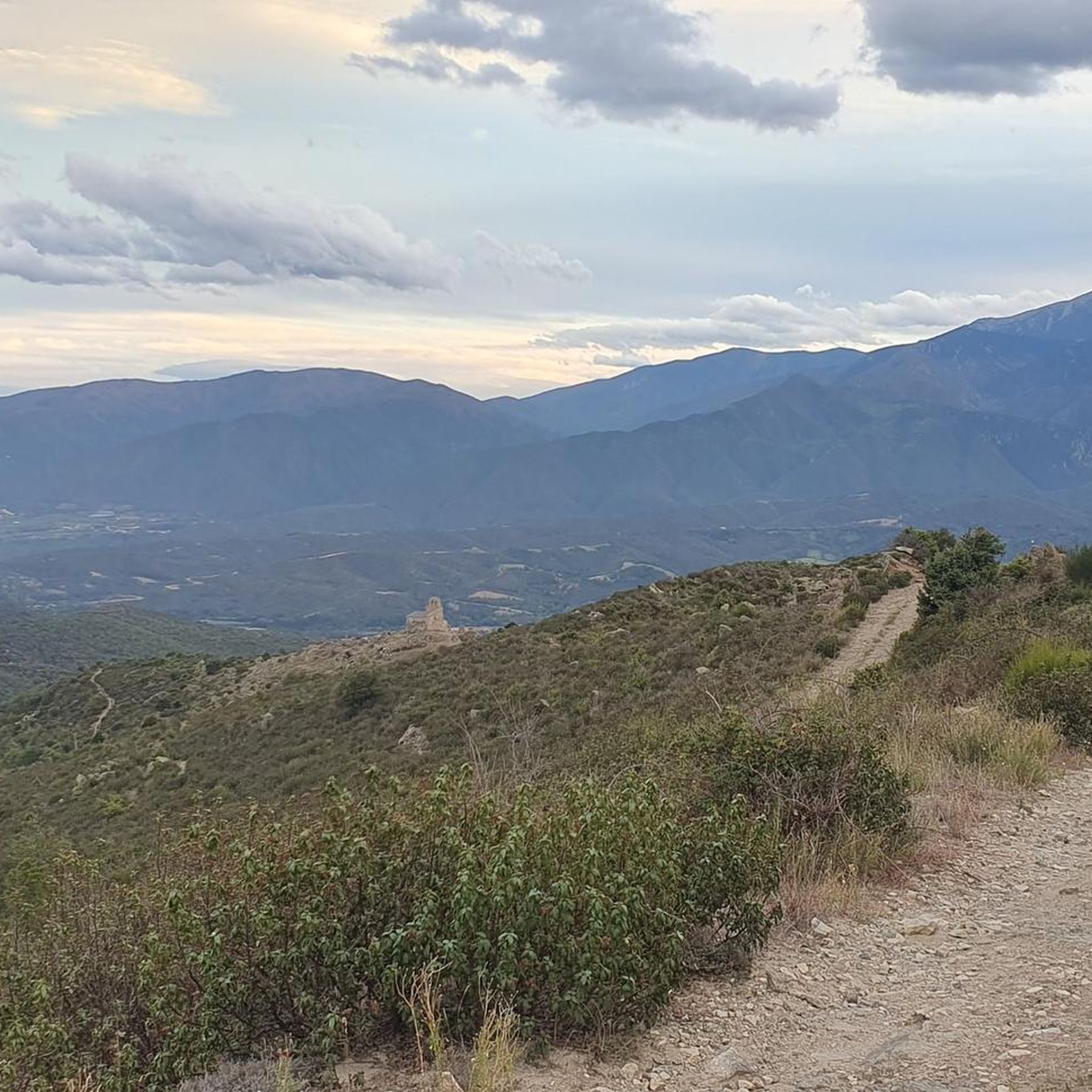
Gravel biking around Campoussy features routes through varied terrain, characterized by significant elevation changes and views of the surrounding Pyrenean foothills. The region offers a mix of forested paths, open landscapes, and routes that pass by natural features like Lake Vinça and the Têt river. These trails often provide panoramic vistas, including distant views of Canigou.
Best gravel bike trails around Campoussy
- The most popular gravel bike trail is Bélesta Village – View of Canigou loop from Vinça, a…
Last updated: October 20, 2026
5.0
(2)
21
riders
60.0km
05:18
1,140m
1,140m
Hard gravel ride. Very good fitness required. Mostly paved surfaces.
4.5
(2)
12
riders
41.5km
03:01
770m
770m
Hard gravel ride. Very good fitness required. Mostly paved surfaces.

4.0
(1)
8
riders
69.6km
05:41
1,660m
1,660m
Hard gravel ride. Very good fitness required. Mostly paved surfaces.
15
riders
66.9km
04:44
1,310m
1,310m
Hard gravel ride. Very good fitness required. Mostly paved surfaces.
9
riders
46.9km
03:54
1,110m
1,110m
Hard gravel ride. Very good fitness required. Mostly paved surfaces.
Get access to more routes and recommendations from other explorers.
Already have an account?
Our route recommendations are based on thousands of hikes, rides, and runs completed by other people on komoot.
Start today with a free account
Your next adventure awaits.
Tips from the Community

Beautiful little town. Due to its strategically important location, it was developed into a fortress by Vauban. Today it is a World Heritage Site.
0
0
Beautiful. It's not for nothing that it's a World Heritage site!
0
0

The small village of Eus is located about 40 kilometers west of Perpignan at the foot of the Canigou in the Têt valley. Its historic village center stretches picturesquely over a steep granite hill and was fortified around a castle in the Middle Ages. The narrow, cobbled streets lead up to the Église Saint-Vincent-d’en-Haut, which was built in the 18th century on the site of the former castle. From there, there is a wide view over the Conflent and the Canigou. Below the village is also the Romanesque chapel Saint-Vincent from the 11th to 13th centuries. Eus today belongs to the association „Les Plus Beaux Villages de France“ and is considered one of the particularly sunny villages in the region.
1
0

To be very clear, the descent from the top of Rodès to the bottom is reserved for experienced riders, in no case for intermediate mountain bikers. If the editor of the circuit comes to follow me in DH "intermediate" level, it will undoubtedly put his ideas in order.
0
0

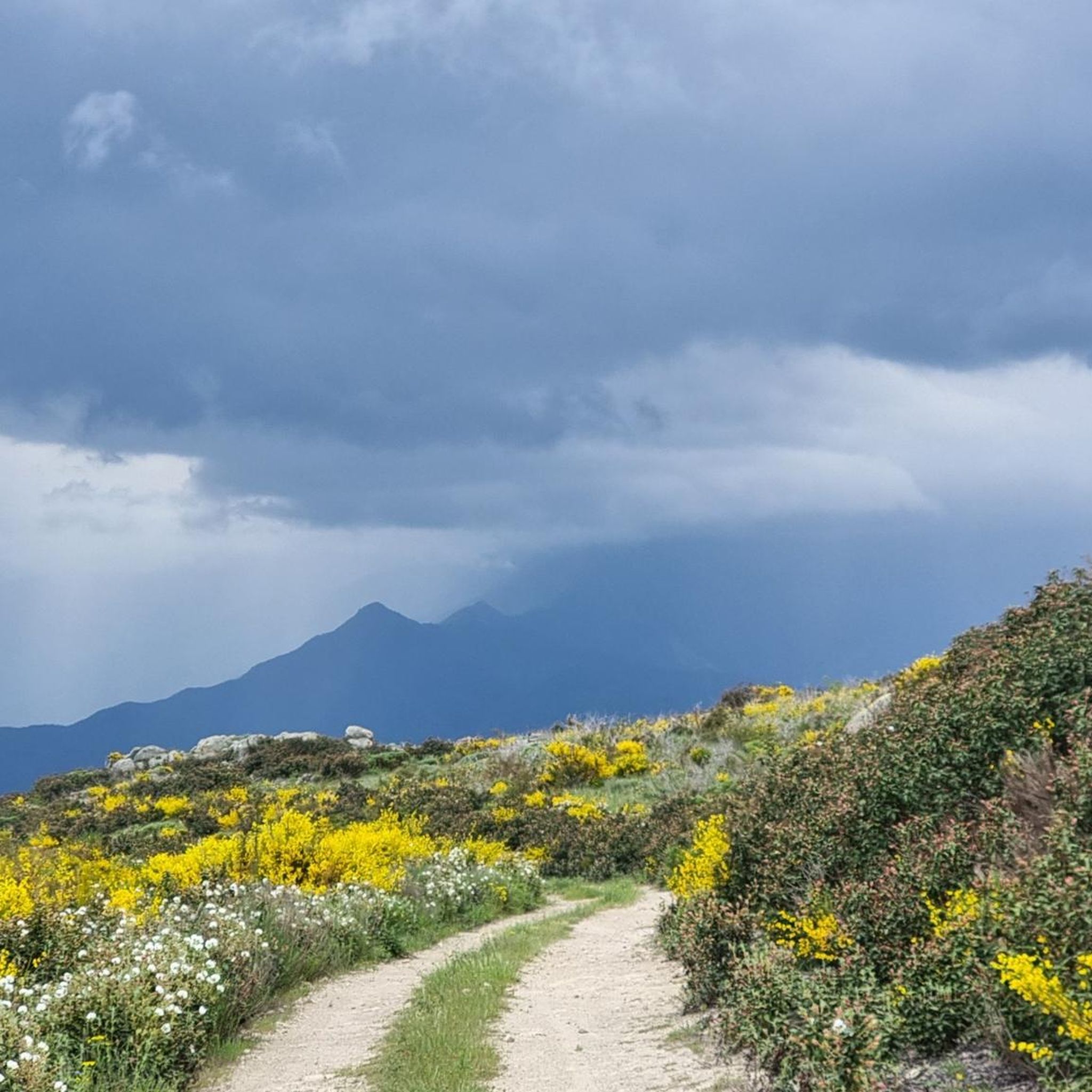
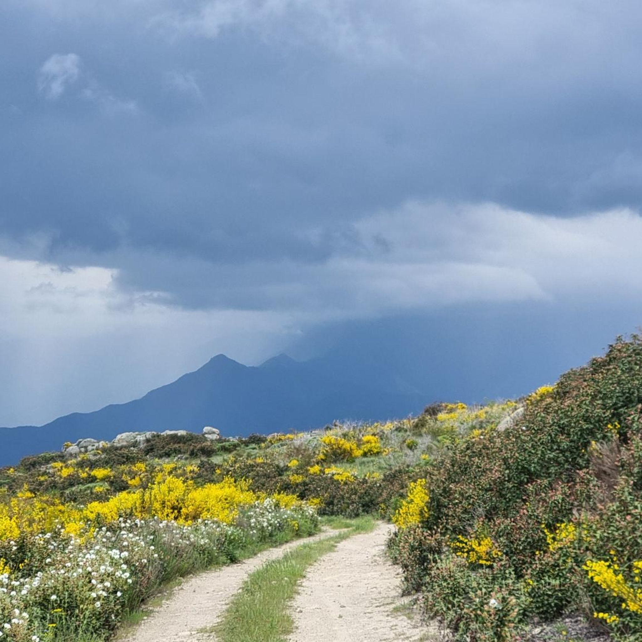
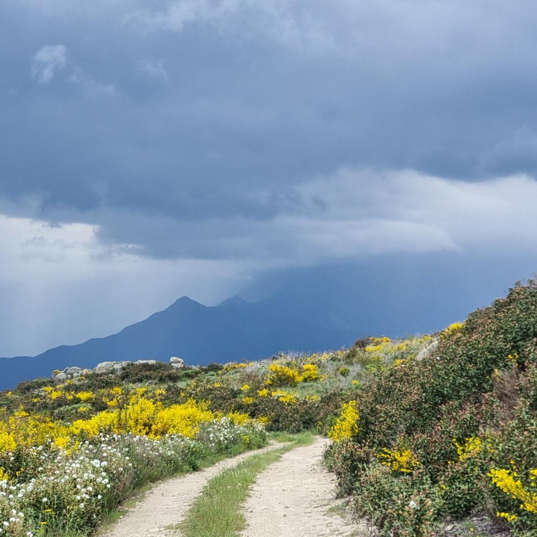
Beautiful view of the lake from the gravel track
0
0

This ancient trading town, the capital of Conflent, has preserved some beautiful traces of its history and its status as a defensive town. Examples include the ramparts and the Viguerie Tower, built by the Count of Cerdagne in the 11th century and subsequently reinforced by Vauban's fortifications in the 17th century.
0
0
It is definitely worth getting off, buying a ticket and walking a bit to really see it properly.
0
0
Frequently Asked Questions
What is the general difficulty level of gravel biking trails around Campoussy?
The gravel biking trails around Campoussy are predominantly challenging, with 17 out of nearly 20 routes rated as difficult. There is one moderate option available, making the area best suited for experienced gravel bikers looking for significant elevation changes and demanding terrain.
Are there any family-friendly or beginner gravel biking routes in Campoussy?
While most routes around Campoussy are rated as difficult, there is one moderate gravel biking option available. This route might be more suitable for families or beginners, though it's always recommended to check the specific tour details for elevation and terrain before heading out.
What kind of terrain can I expect on gravel bike trails in Campoussy?
Gravel biking in Campoussy features varied terrain, including forested paths, open landscapes, and routes that follow natural features like Lake Vinça and the Têt river. You can expect significant elevation changes and panoramic views, often including distant sights of Canigou.
What are some of the longer gravel bike routes available in the Campoussy area?
For a longer ride, consider the View Canigou – Villefranche-de-Conflent loop from Los Masos, which covers 43.6 miles (70.1 km) and offers views of Canigou and historic sites. Another substantial option is the Bélesta Village – View of Canigou loop from Vinça, a 34.7-mile (55.9 km) trail with extensive views.
Are there any scenic routes with views of Canigou or other natural landmarks?
Yes, many routes offer stunning views. The Bélesta Village – View of Canigou loop from Vinça provides extensive views of Canigou. The Lake Vinça – Bridge over the Têt loop from Vinça explores the area around Lake Vinça and crosses the Têt river, offering picturesque scenery.
What is the best time of year for gravel biking around Campoussy?
Given the region's characteristics with significant elevation changes and views of the Pyrenean foothills, spring and autumn generally offer the most pleasant conditions for gravel biking. Temperatures are milder, and the natural scenery is vibrant. Summer can be hot, while winter might present colder conditions at higher elevations.
Are there any loops or circular routes for gravel biking in Campoussy?
Yes, the majority of gravel biking routes around Campoussy are designed as loops. This allows you to start and end your ride in the same location, making logistics easier. Examples include the Former Marcevol Priory – Lake Vinça loop from Arboussols and the Gabre Forest Area – Mosset — Listed Village loop from Campôme.
What do other gravel bikers say about the trails in Campoussy?
The gravel biking routes in Campoussy are highly regarded by the komoot community, holding an average score of 5.0 stars from more than 7 reviews. Over 80 gravel bikers have used komoot to explore the varied and challenging terrain, often praising the panoramic vistas and demanding climbs.
Are there any natural attractions or points of interest near the gravel bike trails where I could stop?
Yes, the region offers several natural attractions. You might encounter the Saut Grand de Castlar Waterfall or the impressive Gorges of the Agly. The area also features beautiful lakes like Lake Vinça and Escoumes Lake, some with designated swimming areas.
Can I find historical sites or cultural landmarks along the gravel routes?
Yes, some routes pass by historical points of interest. For example, the View Canigou – Villefranche-de-Conflent loop from Los Masos leads through mountainous terrain with views of historic sites. You might also find ancient structures like the Dolmen d'Udolán in the wider region.
Are there opportunities for wild swimming near the gravel biking routes?
Yes, the region around Campoussy features several lakes that offer opportunities for swimming. Lake Vinça is a prominent feature, and there's a specific Swimming Area highlighted near one of the lakes, perfect for a refreshing dip after a ride.
Most popular attractions around Campoussy

Get inspired with the komoot mobile app


Explore more
Browse the best Gravel rides in other regions.
