The best gravel rides around Tudanca-Cabuerniga
4.5
(2)
47
riders
6
rides
Gravel biking around Tudanca-Cabuerniga offers challenging routes through varied terrain. The region is characterized by its natural parks, including Saja-Besaya and Oyambre, and features coastal sections alongside inland hills. These areas provide a mix of forest paths, open landscapes, and significant elevation changes suitable for experienced gravel riders. The routes often connect natural features with coastal views.
Best gravel bike trails around Tudanca-Cabuerniga
- The most popular gravel bike trail is Gravel loop in Saja-Besaya natural park, a 53.2 miles…
Last updated: October 19, 2026
17
riders
85.6km
08:34
2,040m
2,040m
Hard gravel ride. Very good fitness required. Mostly paved surfaces.
4.0
(1)
7
riders
52.6km
04:06
1,080m
1,080m
Hard gravel ride. Very good fitness required. Mostly paved surfaces.

7
riders
84.8km
05:46
1,460m
1,460m
Hard gravel ride. Very good fitness required. Mostly paved surfaces.
6
riders
72.5km
06:20
2,100m
2,100m
Hard gravel ride. Very good fitness required. Mostly paved surfaces.
5
riders
57.1km
04:30
1,040m
1,040m
Hard gravel ride. Very good fitness required. You may need to push your bike for some segments of this route.
5.0
(1)
3
riders
46.9km
03:45
890m
890m
Hard gravel ride. Very good fitness required. Mostly paved surfaces.
2
riders
30.7km
02:14
410m
410m
Moderate gravel ride. Good fitness required. Mostly paved surfaces.
Our route recommendations are based on thousands of hikes, rides, and runs completed by other people on komoot.
Start today with a free account
Your next adventure awaits.
Popular around Tudanca-Cabuerniga

Gravel biking in Lic-Valles Altos Del Nansa Y Saja Y Alto Campoo

Gravel biking around National Park Saja-Besaya

Gravel biking in Saja-Besaya
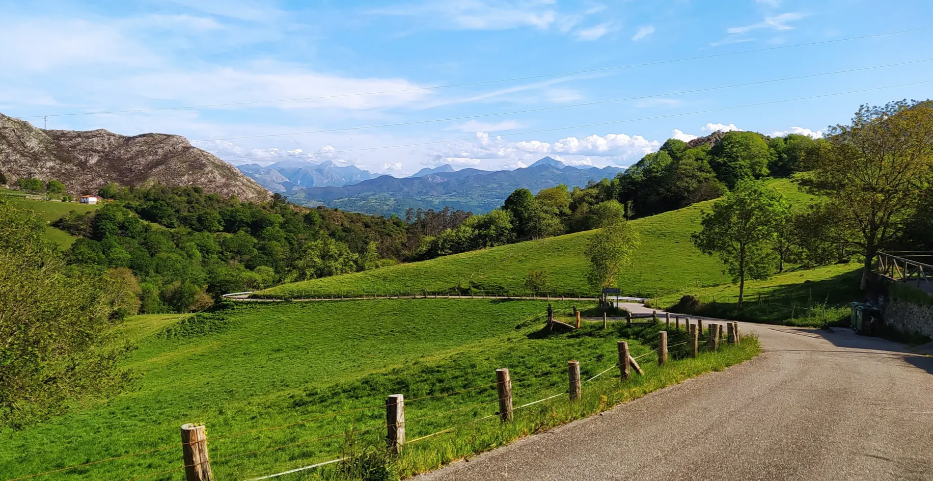
Great mountain passes of Picos de Europa on road bikes
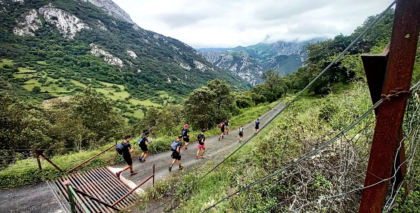
A pilgrim adventure – Spain’s Lebaniego Challenge
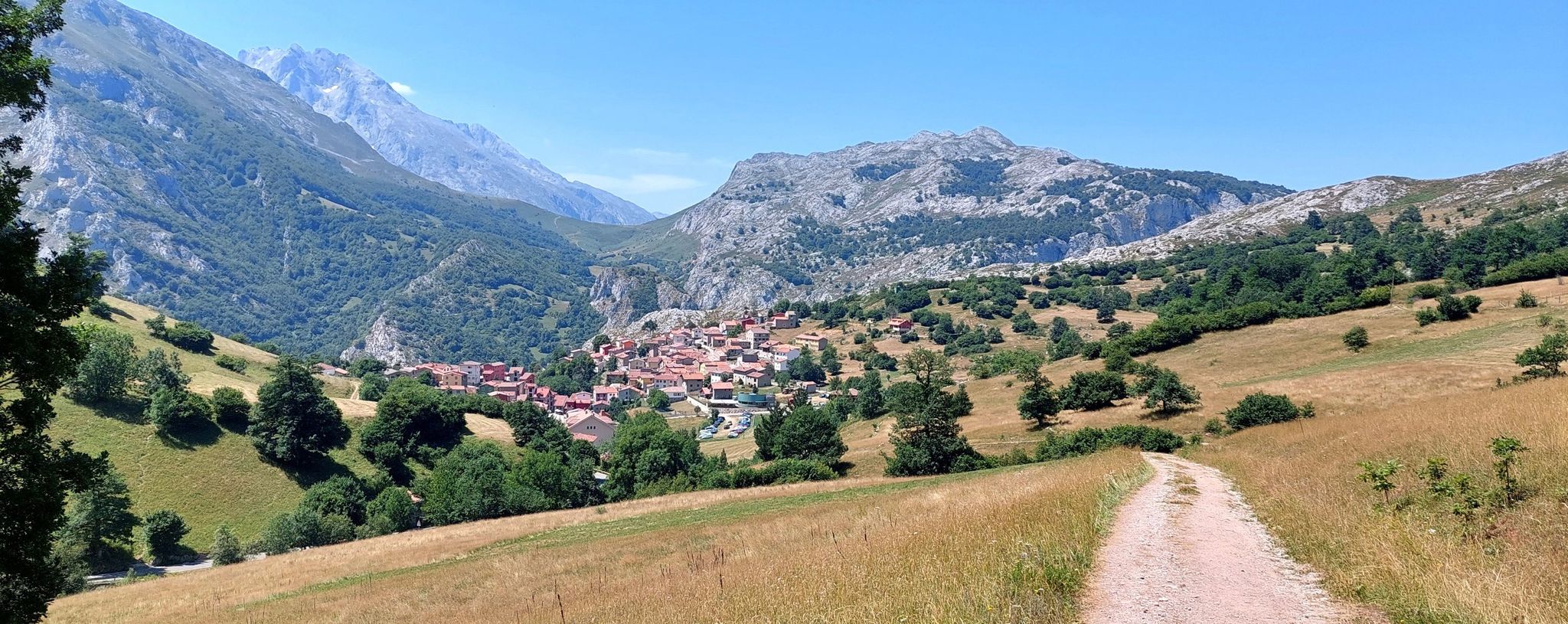
Between valleys and villages – Saja Reserve Trail (GR 71)
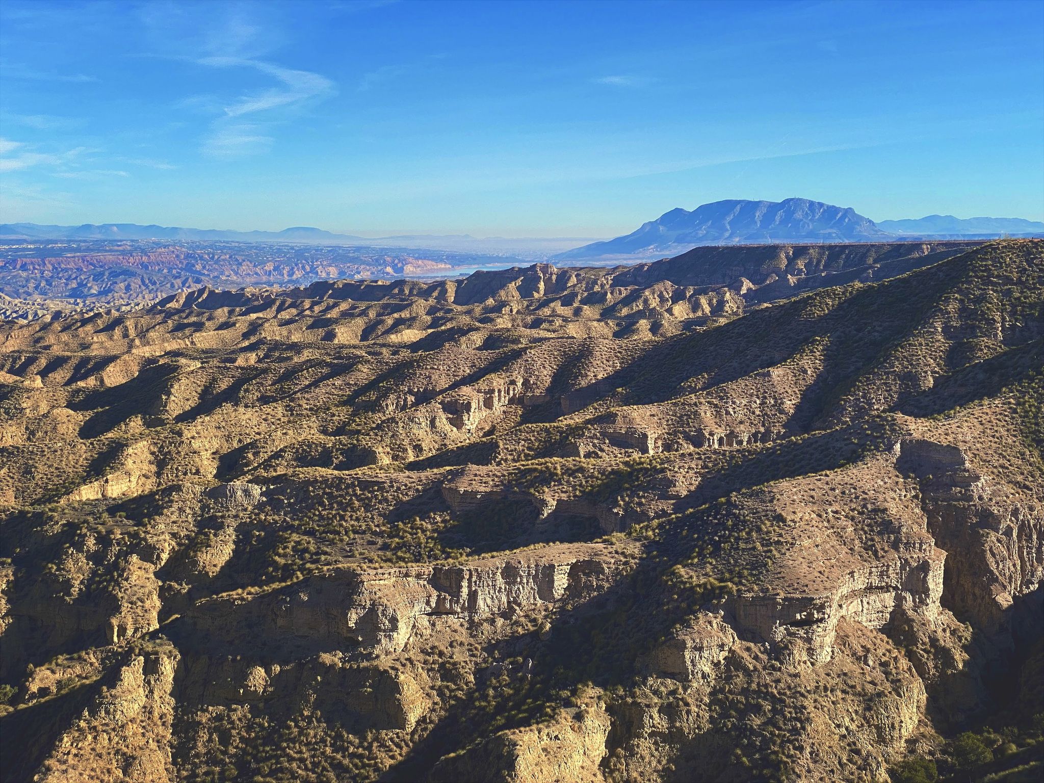
Discover Spain by gravel — a selection of must-see routes
Hiking around Tudanca-Cabuerniga
Road Cycling Routes around Tudanca-Cabuerniga
Running Trails around Tudanca-Cabuerniga
Other adventures around Tudanca-Cabuerniga


Tips from the Community

Here is the "official" source of the Ebro, even though it was proven about 40 years ago that only the water of the Rio Hijar, which seeps away at Paracuelles, re-emerges here. Strictly speaking, it is a karst spring. Not far below the spring, the Ebro is dammed by a small weir, creating a beautiful little pond here, which is obviously also popular with ducks. The circular path around the pond from the spring to the weir is only a few hundred meters long walk, a large visitor car park is directly above, so you don't have to make a long hike to visit - but you can, of course, also start the GR99 here and walk to the Mediterranean...
0
0

The views are good, but it is currently inaccessible for security reasons.
1
0
Yes, the truth is that it is a good viewpoint.
1
0

A cozy restaurant with a pleasant atmosphere and excellent service. We had a wonderful meal and rest. Dish of the day (red bean stew) €8, beer €2.20.
0
0
Officially, it's the source of the Ebro River, in Fontibre. However, according to what we were told at the tourist office, the waters of the spring pools come underground from the Hijar River, which rises in Alto Campoo. Specifically, in Tresmares, where the Hijar-Ebro begins, flowing into the Mediterranean; the Pisuerga (a tributary of the Duero) flows into the Atlantic; and the Nansa flows into the Cantabrian Sea.
0
0


Beautiful hermitage located on the slopes of Monte Corona
1
0
The Collada de Carmona is a mountain pass in the Cantabrian mountain range located in western Cantabria.[1] It rises to 601 m above sea level and links the towns of Valle to the east and Carmona to the west, both belonging to the municipality of Cabuérniga.
0
0
Frequently Asked Questions
How challenging are the gravel bike trails in Tudanca-Cabuerniga?
The gravel bike trails in Tudanca-Cabuerniga are generally challenging, designed for experienced riders. All listed routes are classified as difficult, featuring significant elevation gains and varied terrain through natural parks and coastal sections. For example, the Gravel loop in Saja-Besaya natural park includes over 6,700 feet (2,000 meters) of climbing.
Are there any family-friendly gravel bike trails in Tudanca-Cabuerniga?
Given the challenging nature of the terrain and the significant elevation changes, most gravel bike routes in Tudanca-Cabuerniga are not typically recommended for families with young children or beginners. The routes are primarily suited for experienced gravel riders seeking a demanding adventure.
What are the typical lengths of gravel bike routes in Tudanca-Cabuerniga?
The gravel bike routes in Tudanca-Cabuerniga vary in length, generally ranging from around 30 miles (50 km) to over 50 miles (80 km). For instance, the San Vicente de la Barquera – Oyambre Natural Park loop is about 32.5 miles (52.3 km), while the Buelna Beach – Toró Beach loop covers approximately 52.9 miles (85.2 km).
When is the best time of year to go gravel biking in Tudanca-Cabuerniga?
The best time for gravel biking in Tudanca-Cabuerniga is typically during spring, summer, and early autumn. These seasons offer more stable weather conditions, less rain, and pleasant temperatures, making the challenging routes more enjoyable. Always check local weather forecasts before heading out.
What are the conditions like for gravel biking in Tudanca-Cabuerniga during winter?
Winter conditions in Tudanca-Cabuerniga can be challenging for gravel biking. The region, especially in its higher elevations and natural parks, may experience colder temperatures, rain, and potentially snow or ice, making some trails impassable or very difficult. Coastal sections might be more accessible but can still be exposed to strong winds and rain.
Are most gravel bike routes in Tudanca-Cabuerniga circular?
Yes, many of the gravel bike routes in Tudanca-Cabuerniga are designed as loops, allowing you to start and end at the same point. Examples include the Gravel loop in Saja-Besaya natural park and the San Vicente de la Barquera – Oyambre Natural Park loop.
What can I see along the gravel bike trails in Tudanca-Cabuerniga?
The gravel bike trails in Tudanca-Cabuerniga offer diverse scenery, from the natural parks to coastal views. You might encounter natural landmarks like the Fallen Oak of Brujilices or the El Moral Plateau. The region also features charming settlements such as Bárcena Mayor and impressive peaks like Tres Mares Peak.
Are there places to stop for refreshments along the gravel bike routes?
While the routes traverse natural and sometimes remote areas, you will find opportunities for refreshments in the villages and towns along or near the trails. For example, routes passing through or near San Vicente de la Barquera or Carranzo will offer cafes and restaurants. It's always advisable to carry sufficient water and snacks, especially on longer, more remote sections.
Where can I find parking for gravel biking in Tudanca-Cabuerniga?
Parking is generally available in the starting points of many routes, often in or near villages. For instance, the Ucieda Parking with Fountain – Collada de Carmona loop suggests a starting point with parking. Look for designated parking areas in towns like San Vicente de la Barquera, Carranzo, or Ruente, depending on your chosen route.
What do other gravel bikers enjoy the most about gravel biking in Tudanca-Cabuerniga?
The area is highly rated by the komoot community, with an average score of 5.0 stars. Reviewers often praise the challenging climbs, the stunning mix of natural park landscapes, and the unique coastal sections that define gravel biking in Tudanca-Cabuerniga.
Are there any less-known gravel routes worth exploring?
Beyond the most popular options, routes like the Ucieda Parking with Fountain – Collada de Carmona loop from Ruente offer a deep dive into the region's interior, featuring significant elevation and immersive natural scenery. Another option is the Ermita de San Antonio – San Ciprián Climb loop from Virgen de la Peña, which provides a challenging ride through picturesque landscapes.
Can I find wild swimming spots near the gravel bike trails?
Yes, the region's natural environment offers opportunities for wild swimming. The Pool area in the Argonza River is one such spot where you might cool off after a ride. Always exercise caution and check local regulations before swimming in natural bodies of water.
Most popular routes around Tudanca-Cabuerniga
Most popular attractions around Tudanca-Cabuerniga

Get inspired with the komoot mobile app


Didn’t find what you were looking for?
Check out more Gravel rides throughout Tudanca-Cabuerniga below and find the perfect route in your destination.
